
The Upper Peninsula in fog is the closest thing Michigan has to a coastline in Maine, minus the crowds and the lobster prices. That’s the short version. Here’s the long one.
The UP sits between two enormous, cold bodies of water, Lake Superior to the north and Lake Michigan to the south, and in spring and early summer the air over land warms up faster than the water does. Warm air drifting over a lake that’s still holding onto winter produces fog, sometimes thin and drifting, sometimes thick enough that you lose the shoreline fifty feet out. Add in the region’s low population, its dirt roads through second-growth forest, and long stretches with no sound but water, and you get a landscape that feels closer to the coast of Maine than to the rest of the Midwest.
This isn’t a place that performs for you on a schedule. The fog shows up when the lake and the air disagree, which in the UP is often between late April and July, and it burns off or thickens on its own timeline. Who this is for: travelers who’d rather chase weather than beat it, who don’t mind a few hours of dirt road, and who want a Great Lakes trip that doesn’t look like everyone else’s.
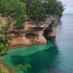
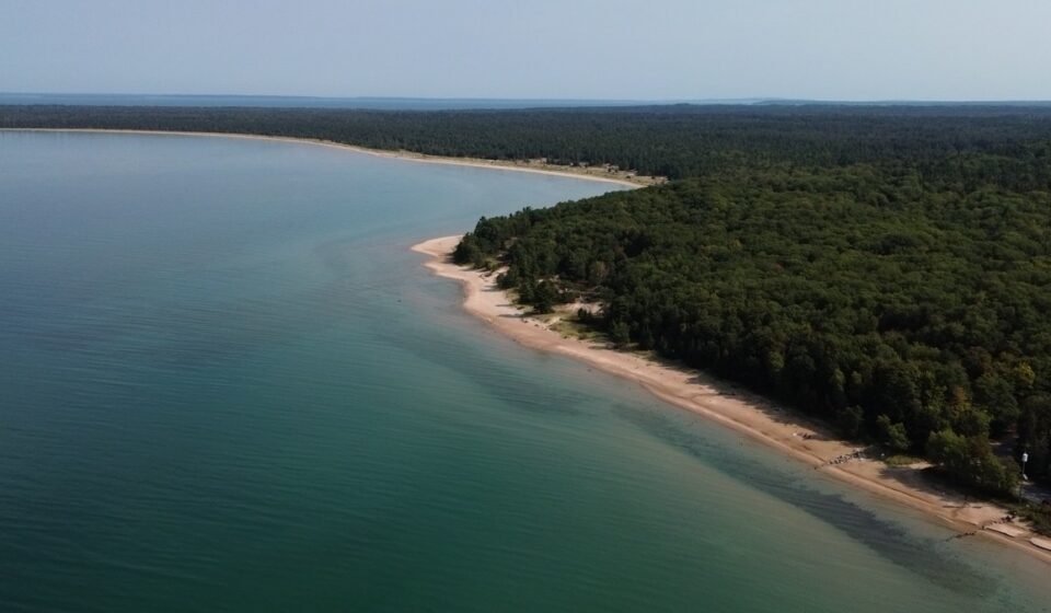
The Lake Superior shoreline near Munising
This is the UP’s signature stretch, the one most people picture when they hear the name, and the fog here behaves like it does on an ocean coast because Superior is functionally an inland sea.
Pictured Rocks National Lakeshore, Michigan
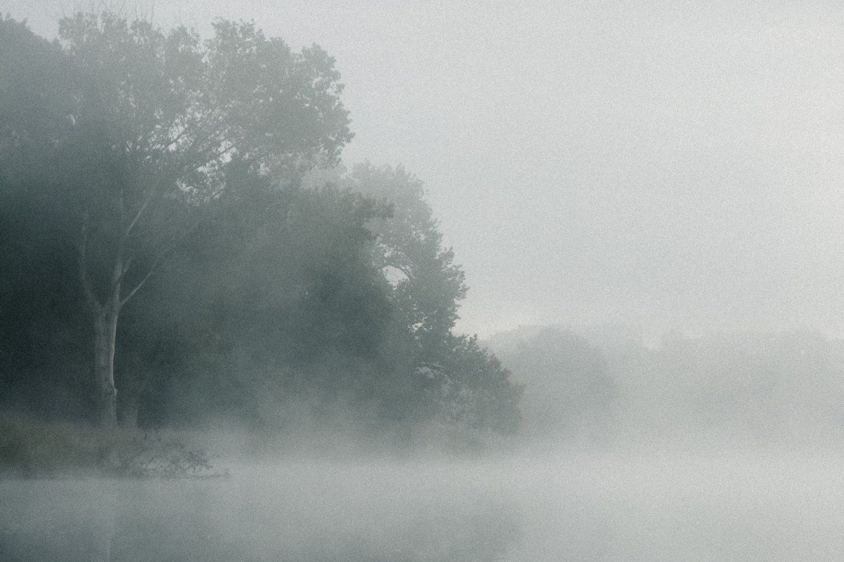
Pictured Rocks is the famous one, and it earns it: 15 miles of sandstone cliffs streaked mineral-red and green, rising straight out of Lake Superior. On a foggy morning the cliff tops vanish into gray and the lake below looks like it has no far edge at all, just water fading to nothing. Miners Castle is the easiest overlook to reach by car, and park staff have noted it’s among the first viewpoints to sock in on humid spring mornings, so aim for sunrise before the day-trippers and before the fog burns off. There’s a per-vehicle entrance fee, and the main roads close to plowing in winter, so this is a May-through-October game. Base yourself in Munising itself; motels along M-28 fill up fast in July and August, so book ahead in summer.
Pair it with: Munising Falls, an easy 10-minute drive, for a fogged-in waterfall walk when the cliff overlooks are too whited-out to bother with.
Munising Falls, Michigan
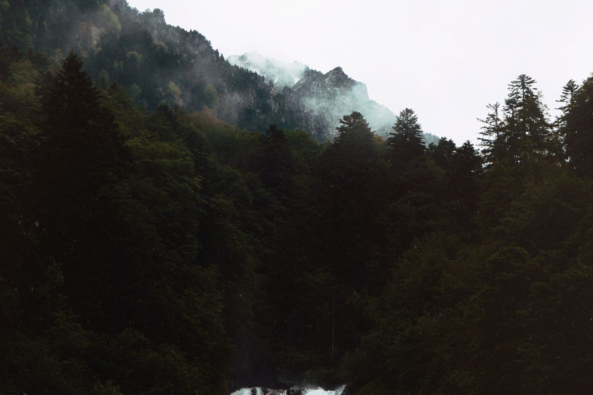
Munising Falls drops through a short, mossy gorge right at the edge of town, an easy paved half-mile round trip that makes it the UP’s best backup plan. When Lake Superior fog rolls inland it settles in gorges like this one before it clears, so the falls often look better fogged-in than they do on a bright day, with mist off the plunge pool blending into the ambient haze. Parking is a small free lot that fills by mid-morning in July and August. This is also the trailhead for the Munising Falls area access to Pictured Rocks’ inland trail network.
Pair it with: Pictured Rocks National Lakeshore, 5 minutes away, best done first thing if fog is forecast to lift.
Grand Island National Recreation Area, Michigan
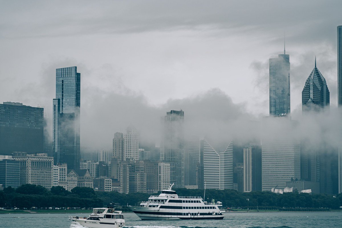
Grand Island sits just offshore from Munising, reachable by a short ferry, and it’s the spot on this list most people skip because they assume it duplicates Pictured Rocks. It doesn’t. The island has its own sandstone cliffs on the west side and a historic lighthouse, but the real draw in fog is the crossing itself, a few minutes where the mainland disappears behind you and the island hasn’t yet appeared ahead. The ferry runs seasonally, roughly Memorial Day through early fall, and stops altogether if the fog is dense enough to be a navigation hazard, so build in a flexible day.
Pair it with: Munising Falls, 5 minutes from the ferry dock, as a plan B if the crossing is fogged out entirely.
The Keweenaw Peninsula
Keweenaw is the UP’s own left thumb, a finger of land jutting into Lake Superior far enough north that it gets its own weather. It’s a long half-day’s drive from Munising, longer from anywhere downstate, and that isolation is the whole point.
Brockway Mountain Drive, Michigan
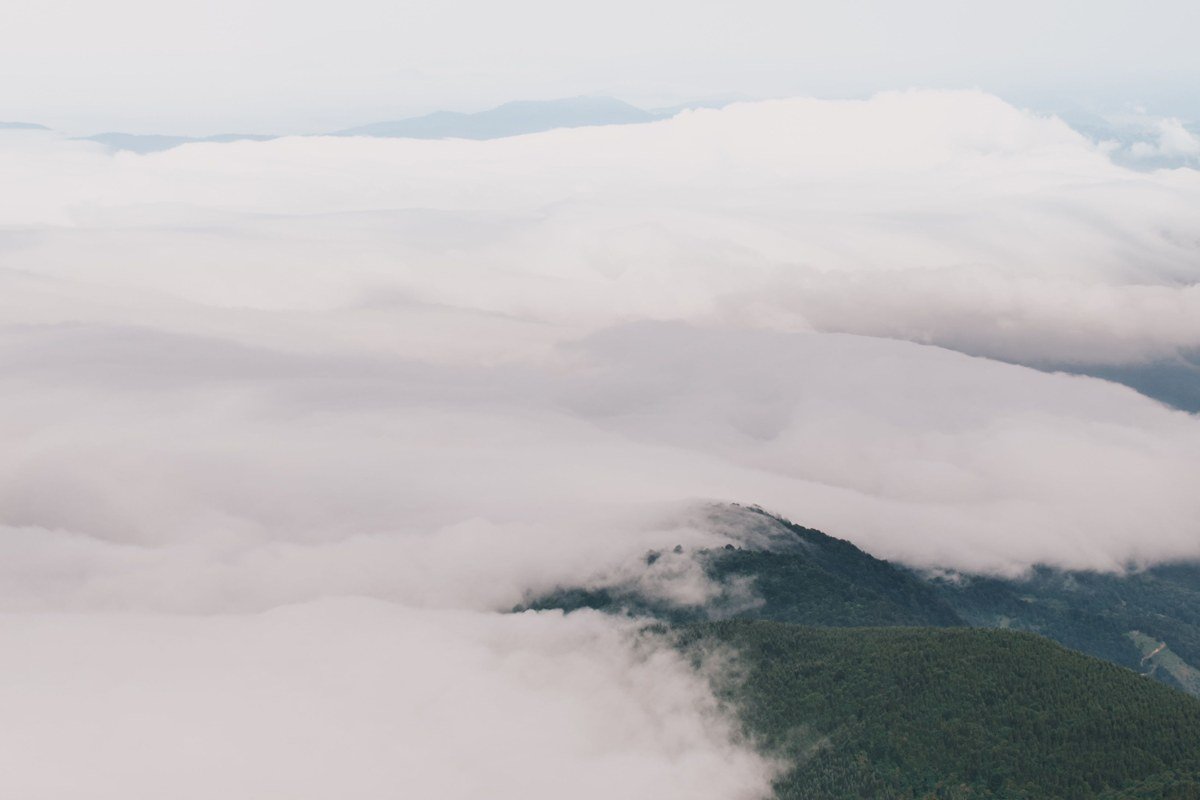
Brockway Mountain Drive is billed as one of the highest paved roads in the Midwest, climbing well above the Lake Superior shoreline below, and on a foggy morning you can watch cloud pour through the valley like slow water while you stand in clear air above it. That temperature-inversion fog, where the valley is socked in and the summit isn’t, is the specific trick of this spot and it’s uncommon enough to be worth timing a sunrise for. The road is a state-maintained scenic drive, free, open seasonally (it gets gated in winter), with pullouts rather than a formal lot. There’s no campground on the drive itself; the nearest public camping is Fort Wilkins State Park, a few miles east toward Copper Harbor, with both rustic and modern sites.
Pair it with: Copper Harbor, 15 minutes further up the peninsula, for breakfast after the overlook.
Copper Harbor, Michigan
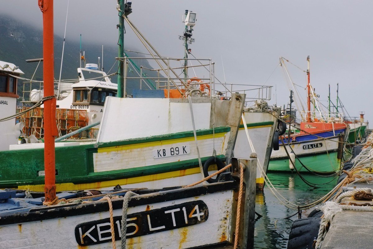
Copper Harbor is about as far as you can drive into Lake Superior on this side of the state, a small former mining town that now runs on hikers, cyclists, and the ferry to Isle Royale. Fog off the harbor tends to burn off later here than inland, since you’re surrounded by open water on three sides, so mornings can stay soft and gray well past 10 a.m. It’s also the last reliable gas and food stop before the peninsula’s tip, worth knowing since services thin out fast north of Calumet. Fort Wilkins State Park, right in town, is the anchor for tent and RV camping if you want to stay put for a few foggy sunrises in a row.
Pair it with: Brockway Mountain Drive, 15 minutes back south, best driven right after breakfast while the valley fog is still holding.
The Porcupine Mountains and western Superior shore
This corner of the UP, close to the Wisconsin border, is the wildest of the four clusters, with fewer paved roads and more actual mountains, low by Rockies standards but real ridgelines with real elevation change.
Lake of the Clouds Overlook, Michigan
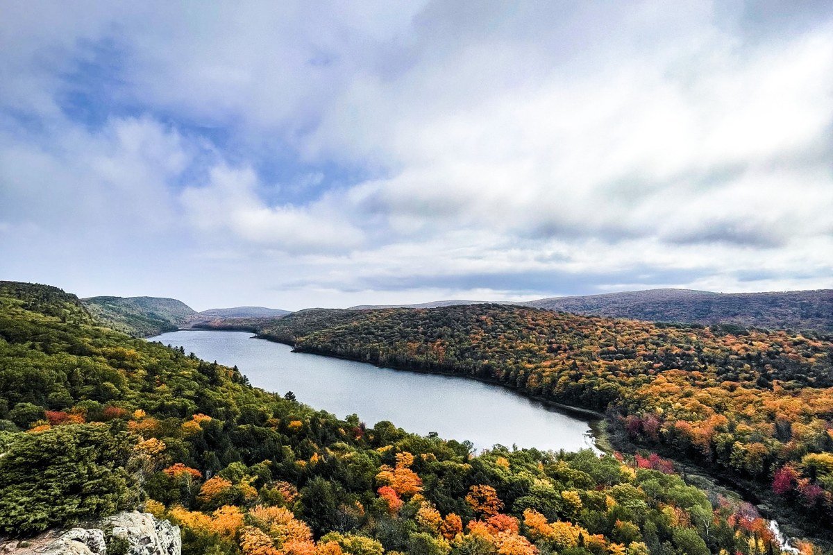
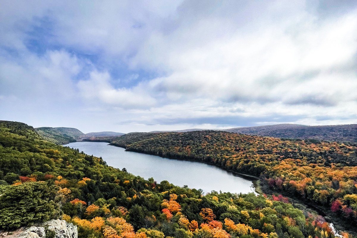
Lake of the Clouds is the postcard shot of the Porcupine Mountains, a long, narrow lake seen from a bluff hundreds of feet above it, and in fog the water surface can go from mirror-still to completely obscured in the time it takes to walk from the parking area to the rail. This is one of the few UP overlooks you can drive right up to, a short flat walk from a state park lot, which makes it worth the detour even for travelers who don’t want a real hike. Best light and best fog odds are within an hour of sunrise; by mid-morning it usually clears. The park’s own Union Bay Campground, near the visitor center, is the most straightforward base if you want to be on the overlook before dawn.
Pair it with: the Lake Superior shoreline at Presque Isle, about 20 minutes north within the same park.
Presque Isle River mouth, Michigan
At the far western edge of the Porkies, the Presque Isle River runs through a black, root-tangled gorge before it hits Lake Superior, and the point where river fog meets lake fog is one of the quieter, stranger scenes in the whole UP, water sounds carrying further than the eye can see through the mist. Suspension bridges cross the gorge at two points, giving you a view straight down into water that’s often more mist than river. It’s remote enough that cell service disappears well before you arrive, so bring a paper map or download offline directions. The rustic Presque Isle Campground, at the river mouth itself, is the only lodging option this far west in the park.
Pair it with: Lake of the Clouds, a 20-minute drive on park roads, ideally the same morning while fog conditions hold across the park.
The Garden Peninsula and Lake Michigan side
Most fog chasers fixate on the Superior shore and skip this quieter southern peninsula entirely, which is exactly why it belongs here. The Garden Peninsula juts into Lake Michigan on the UP’s less-visited side, and fog behaves differently over this lake, thinner and more prone to rolling in bands rather than sitting as a solid ceiling.
Fayette Historic State Park, Michigan
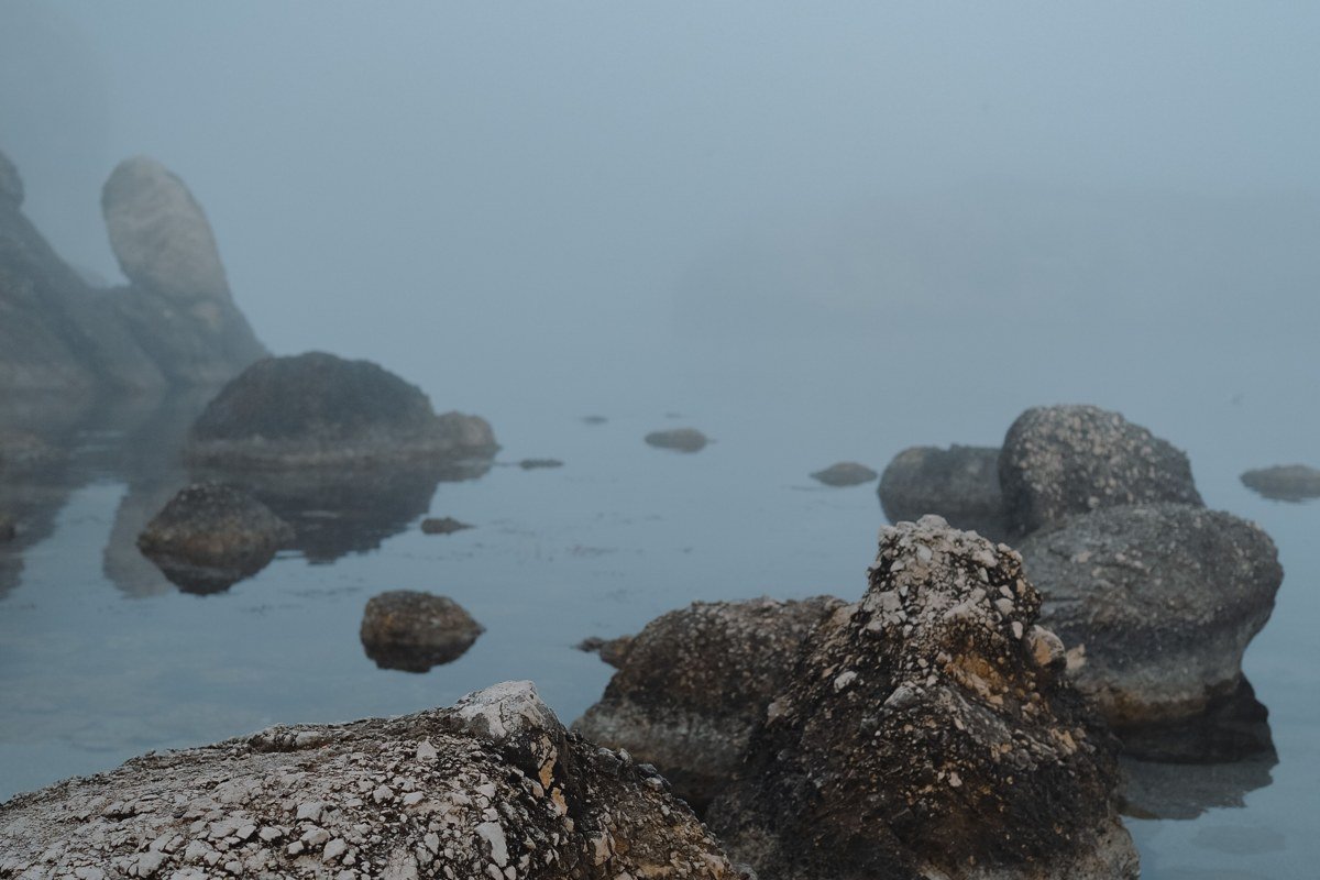
Fayette is a preserved 19th-century iron-smelting town, limestone building shells standing empty above a turquoise Lake Michigan harbor. In fog, the industrial ruins go soft and gray at the edges, chimneys and doorframes appearing and disappearing as the mist moves through them. It’s a working state park with a small vehicle fee and a visitor center that closes for the season around mid-October, so shoulder-season visits need a call-ahead check. Unlike the Superior-side sites, this one is at the end of a paved road the whole way, no dirt-road detour required. The park’s campground, on the harbor, is the only lodging inside the site; the town of Garden, a short drive north, has a handful of small motels and rentals.
Pair it with: the Garden Peninsula’s undeveloped shoreline a few miles south, for open Lake Michigan fog without the historic-site crowds, about a 15-minute drive.
Which cluster to pick for a long weekend
If you’re flying into the UP or driving up from Chicago, Illinois or Milwaukee, Wisconsin, the Munising cluster is the easiest win: three strong spots within 15 minutes of each other and enough motels and restaurants in town to skip the camping gear entirely. If you’ve already done the classic Pictured Rocks trip and want something wilder, go west to the Porcupine Mountains: budget the better part of a day just to cross the UP to reach it, since the peninsula runs roughly 300 miles east to west, and bring a real map, since cell coverage is thin. The Keweenaw rewards people who treat the drive itself as part of the trip.
A few planning notes that apply across all four clusters:
- Time zone: the UP runs on Eastern time, same as Detroit, not Central time like next-door Wisconsin. Double check tee times, ferry departures, and dinner reservations against your phone rather than your gut.
- Season: most of these sites are a May-through-October trip. Roads gate, visitor centers close, and ferries stop running in the off-season.
- Connectivity: cell service thins out fast west of Munising and disappears almost entirely in the Porcupine Mountains. Download offline maps before you leave a town with signal.
- Home base by cluster: Munising town for Pictured Rocks and Grand Island; Copper Harbor (Fort Wilkins State Park) for the Keweenaw; Union Bay or Presque Isle Campground for the Porkies; Garden or the Fayette campground for the Garden Peninsula.