
The mistake most people make with Colorado rafting is booking the first trip that shows up in search results, then ending up either bored on a flatwater float or white-knuckled on a Class V run they weren’t ready for. Here’s the direct answer: for most first-timers, the Upper Clear Creek near Idaho Springs or Browns Canyon near Buena Vista hit the sweet spot, while the Numbers and Gore Canyon are where experienced paddlers go looking for a real scare.
I ranked these ten runs by a mix of rapid class, consequence (what happens if you swim), and how unforgiving the canyon is if something goes wrong, not just difficulty on paper. Water levels shift the risk every single season, so treat this as a starting point, not gospel. Flows are measured in cfs (cubic feet per second), and I’ve noted rough high water and low water ranges per river where that data is publicly tracked, since a Class III rapid at low water can become Class IV at flood stage.
| Place | Best for | Getting there |
|---|---|---|
| Clear Creek, Colorado | First-timers, families with teens | 35 miles west of Denver on I-70, about 45 minutes |
| Browns Canyon, Colorado | Classic big-fun Class III-IV | 2.5 hours from Denver via US-285 |
| Bighorn Sheep Canyon, Colorado | Variety in one stretch | 3 hours from Denver, US-285 to US-50 past Salida |
| Royal Gorge, Colorado | Scenery plus real whitewater | 2 hours 45 minutes from Denver via I-25 and US-50 |
| Pine Creek, Colorado | Experienced paddlers wanting Class IV-V | 2.5 hours from Denver, same corridor as Browns |
| The Numbers, Colorado | Technical, relentless Class IV | 2.5 hours from Denver, upstream of Buena Vista on US-24 |
| Gore Canyon, Colorado | Expert-only Class V | 2 hours from Denver via I-70 to Kremmling |
| Shoshone Rapids, Colorado | High-water intensity in spring | 2.5 hours from Denver via I-70 |
| Westwater Canyon, Colorado | Desert Class III-IV with real walls | 4 hours from Denver via I-70 to Grand Junction, then permit launch point |
| Animas River, Colorado | Southwest adventure, Class III-IV | 6-7 hours from Denver, best split into a two-day drive |
Clear Creek, Colorado
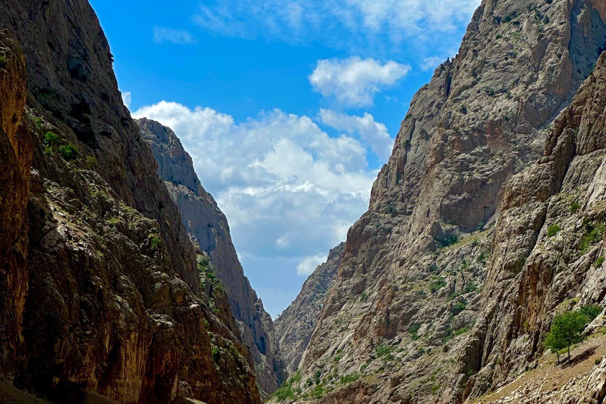
This is the run that convinces people they like rafting. It sits close enough to Denver, about 35 miles up I-70, that outfitters run half-day trips all summer, and the Upper stretch through Idaho Springs delivers continuous Class III-IV without the exposure of a true backcountry canyon. The creek is narrow and rocky, so it feels faster and louder than its rating suggests, which is exactly why it is popular with bachelor parties and teenagers on their first trip. Clear Creek typically runs commercially between roughly 500 and 1,200 cfs, low water under 400 cfs gets too rocky and scrapey to float, and anything above 1,000 cfs (usually peak snowmelt in late May through June) pushes the rapids into pushier, faster water. By August it mellows into something closer to a scenic bounce. Watch for the low bridge and tight rock channel at the entrance to the Grapevine section, a known pinch point outfitters brief closely before launch.
Browns Canyon, Colorado
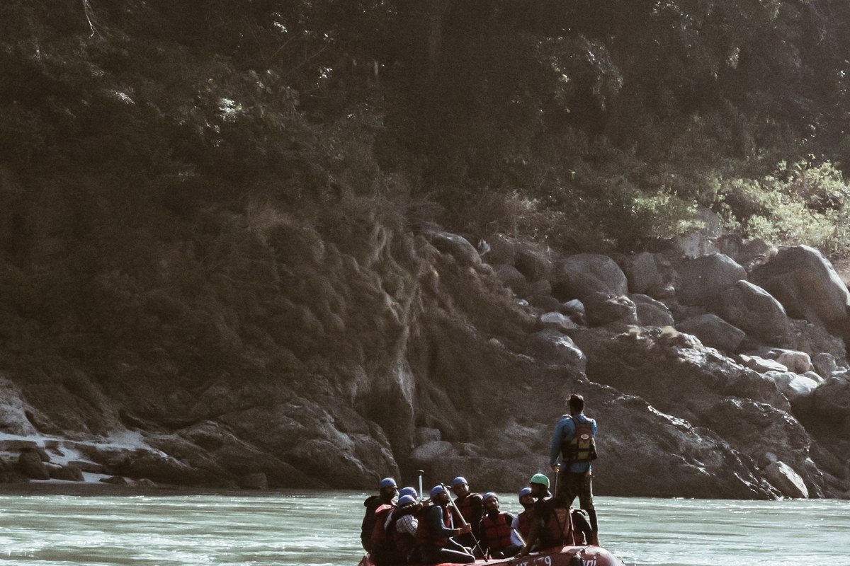
Browns Canyon on the Arkansas River, now a national monument, is the run most Colorado outfitters build their summer around, and it deserves the reputation. The granite-walled canyon delivers a string of Class III and IV rapids with names like Zoom Flume and Big Rock, long enough to feel like a real expedition but forgiving enough for a first-timer with decent fitness. High water on this stretch of the Arkansas generally means flows above 2,500 cfs (common in early June during peak runoff), while low water, often by late August, can drop below 700 cfs, when some outfitters shorten the run or swap in a different put-in. Buena Vista and Salida both sit at the put-in and take-out ends, about two and a half hours from Denver, and this corridor sees the heaviest outfitter traffic in the state (Arkansas Valley Adventures and American Adventure Expeditions both run daily trips here), so book ahead for July weekends. Zoom Flume’s main hole has flipped boats at higher flows, which is why guides scout it from the raft before committing to a line.
Bighorn Sheep Canyon, Colorado
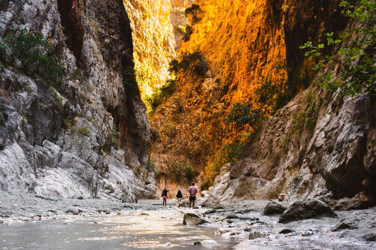
This stretch of the Arkansas, downstream from Salida toward Canon City, strings together Class III rapids with a few meatier drops like Three Rocks and Cottonwood. Flows here track the same Arkansas River gauge system as Browns Canyon, so the same rough bands apply: above 2,500 cfs is high water and pushier, below 700 cfs is low and more technical. What sets it apart is the canyon itself, steep and dry, with actual bighorn sheep visible on the slopes often enough that guides point them out as routine. It’s a good choice if you want more current time on the water for your dollar without stepping up to Class V commitment. The take-out near Canon City puts you close to the Royal Gorge for a two-run day if you’re staying over, and Echo Canyon Rafting runs both stretches out of Canon City.
Royal Gorge, Colorado
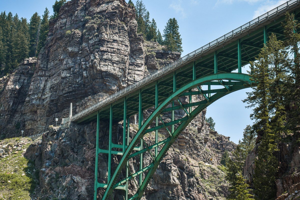
The Royal Gorge run drops below the famous bridge into a canyon over a thousand feet deep in places, and the scenery does more work here than the rapids themselves, which run Class III to IV depending on release schedules tied to the same Arkansas River flows (high water above roughly 2,500 cfs, low water under 700 cfs). What makes this one feel serious is consequence, not technicality: once you’re in the gorge, there is no road access and no easy way out until the take-out, and cell service is spotty at best. Echo Canyon Rafting and other Canon City outfitters run this as a half-day add-on to Bighorn Sheep Canyon, and most people agree the gorge section alone is a little short for the price, so pairing it with Bighorn Sheep Canyon upstream is the better call.
Pine Creek, Colorado
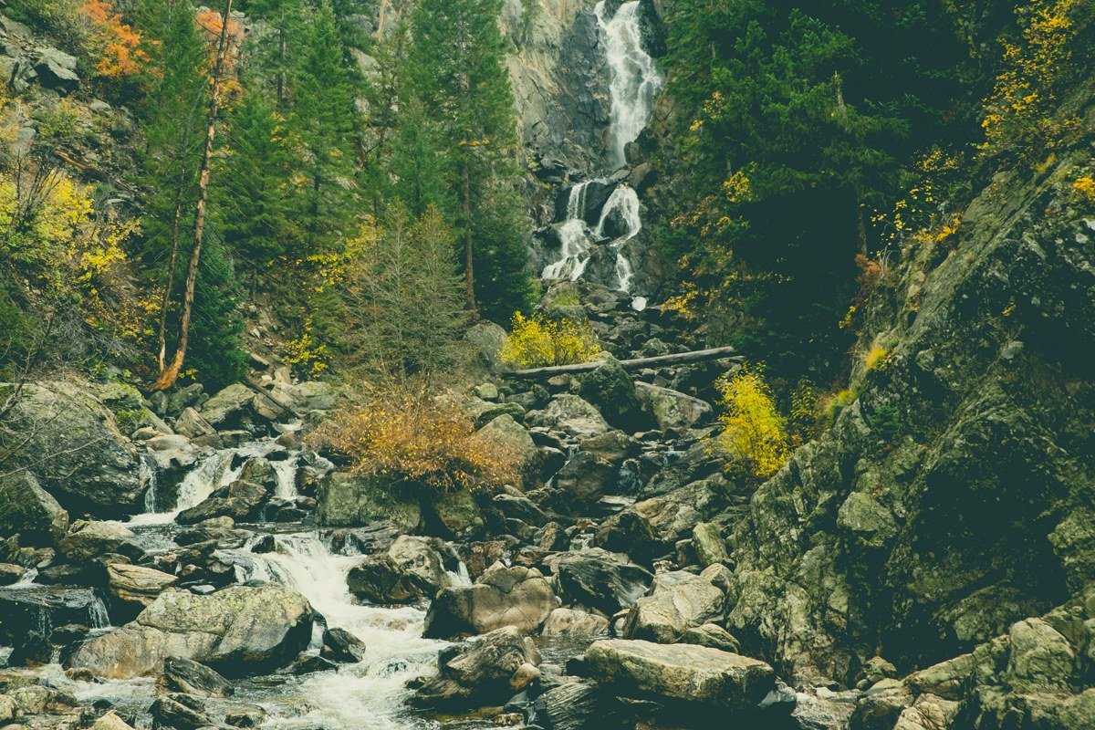
Pine Creek is where the Arkansas River stops being friendly. This Class IV-V run near Buena Vista is only commercially rafted at certain water levels, generally between about 800 and 2,000 cfs, below that the rapid gets too boney to run safely, above it several outfitters pull the trip entirely because the consequence of a swim gets too high. Any Buena Vista outfitter that runs Pine Creek caps the trip to experienced guides and fit guests only, and most require you to have rafted Browns or the Numbers first. The rapid itself, also called Pine Creek, is a long, boulder-choked drop with a known pin spot around the midsection boulders that guides scout from shore before every trip. If Browns Canyon left you wanting more, this is the honest next step rather than jumping straight to Gore Canyon.
The Numbers, Colorado
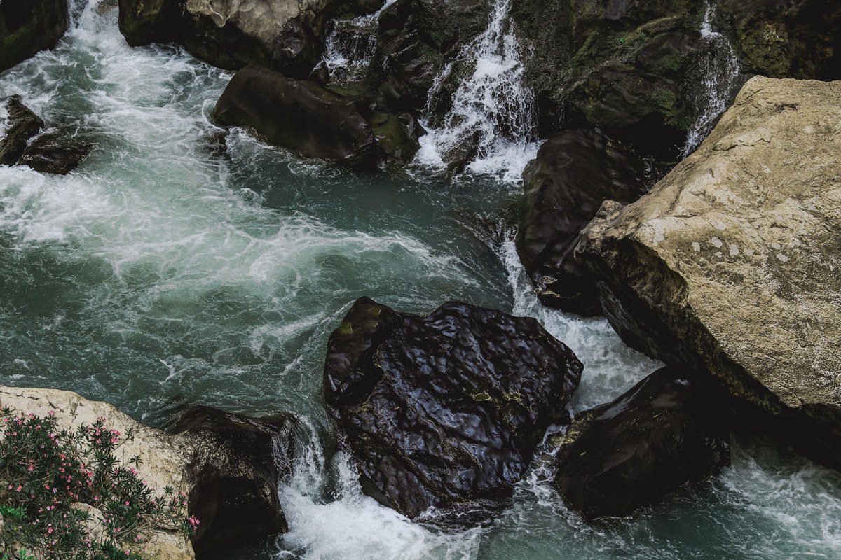
The Numbers get their name from a series of named rapids stacked back to back with almost no flat water between them, a relentless Class IV run near Buena Vista that punishes hesitation. Unlike Browns Canyon, there’s little room to regroup between drops, so guides want a boat that paddles together and listens. This run is best in the higher water of May and June, roughly 1,000 to 2,500 cfs; by late summer, once flows drop under 700 cfs, the Numbers turns rocky and technical in a different, scrapier way, with more exposed boulders to dodge. Arkansas Valley Adventures, which runs trips out of Buena Vista, lists the Numbers as a step up in difficulty from Browns on its own trip descriptions, and that consensus is echoed by most outfitters along the same stretch.
Gore Canyon, Colorado
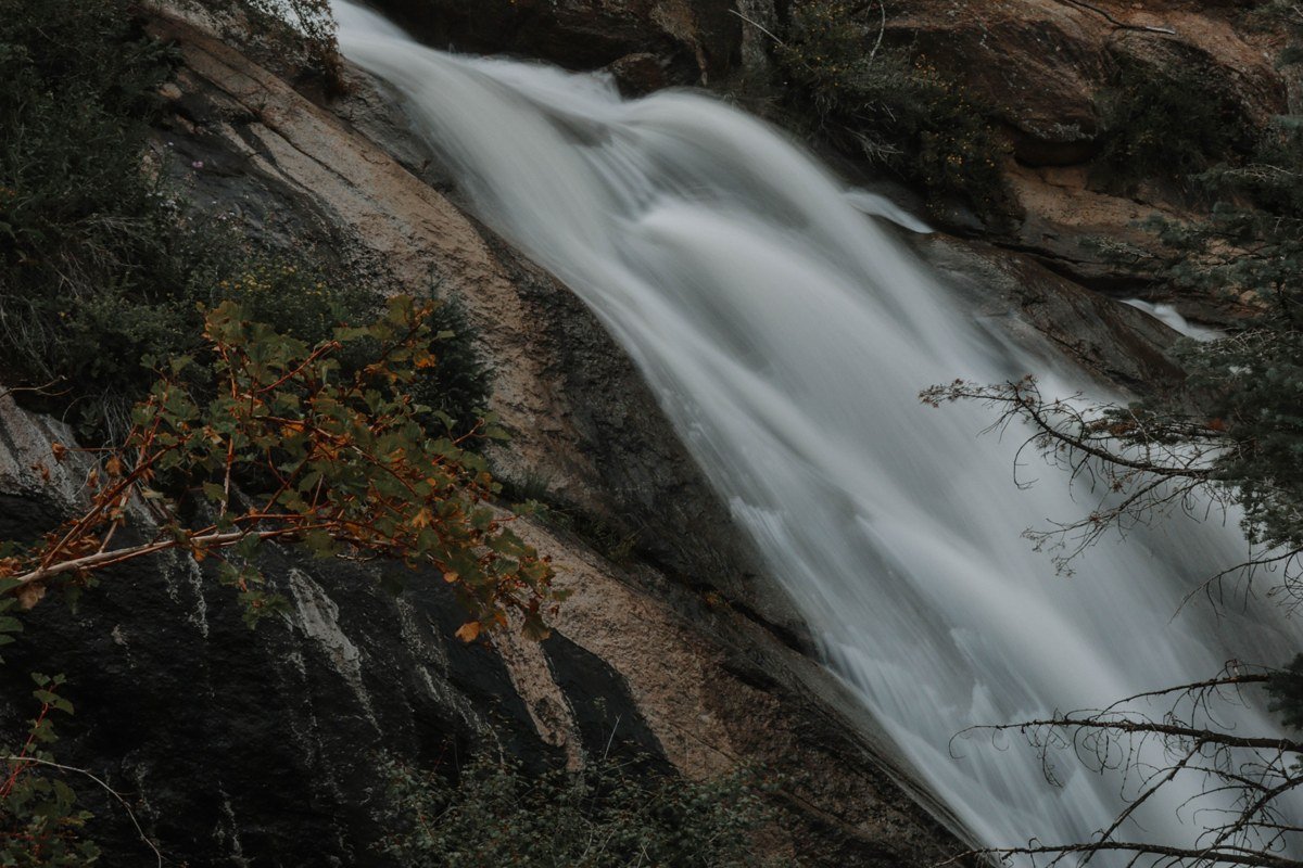
Gore Canyon, on the Upper Colorado River near Kremmling, is where recreational rafting ends and expert-only begins. This is a true Class V run, commercially offered by only a handful of outfitters (Timberline Tours is one of the few that runs it regularly), and most require a signed acknowledgment of the risk plus prior whitewater experience before they’ll take you. Flows here are runnable commercially from roughly 600 to 3,000 cfs, but unlike the gentler Arkansas runs, higher water in Gore makes the rapids more violent rather than simply faster, because the canyon is so narrow and boulder-choked. The canyon is largely inaccessible by road, meaning rescue options are limited if something goes wrong, and the infamous Gore Rapid itself has a well-documented pin rock that guides point out on every scout. Do not book this as your first Colorado rafting trip, no matter how good the photos look.
Shoshone Rapids, Colorado
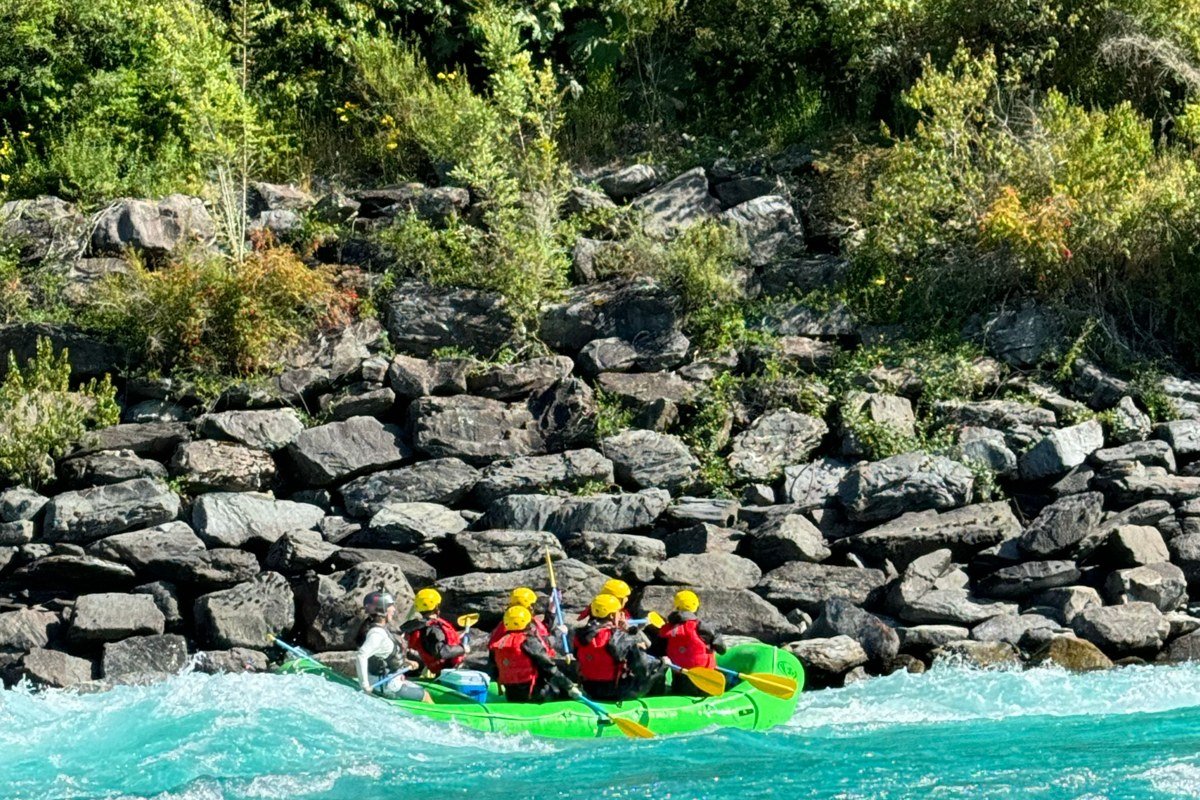
Shoshone, on the Colorado River near Glenwood Springs, is a different kind of scary: a dam-controlled stretch that turns genuinely pushy during peak spring runoff, usually May into early June, when flows can exceed 4,000 cfs. The named rapids here, Tombstone and Man Eater among them, are continuous Class III-IV, but what surprises people is the volume of water moving through a relatively narrow channel, since this is one of the few Colorado runs where high water means noticeably bigger waves rather than more technical rock-dodging. By midsummer, once flows settle closer to 1,200 to 2,000 cfs, this run calms into something far more approachable, so the month you book changes the experience more than almost anywhere else on this list. The approach to Man Eater has a recirculating hole on river right that guides avoid by staying center-left.
Westwater Canyon, Colorado
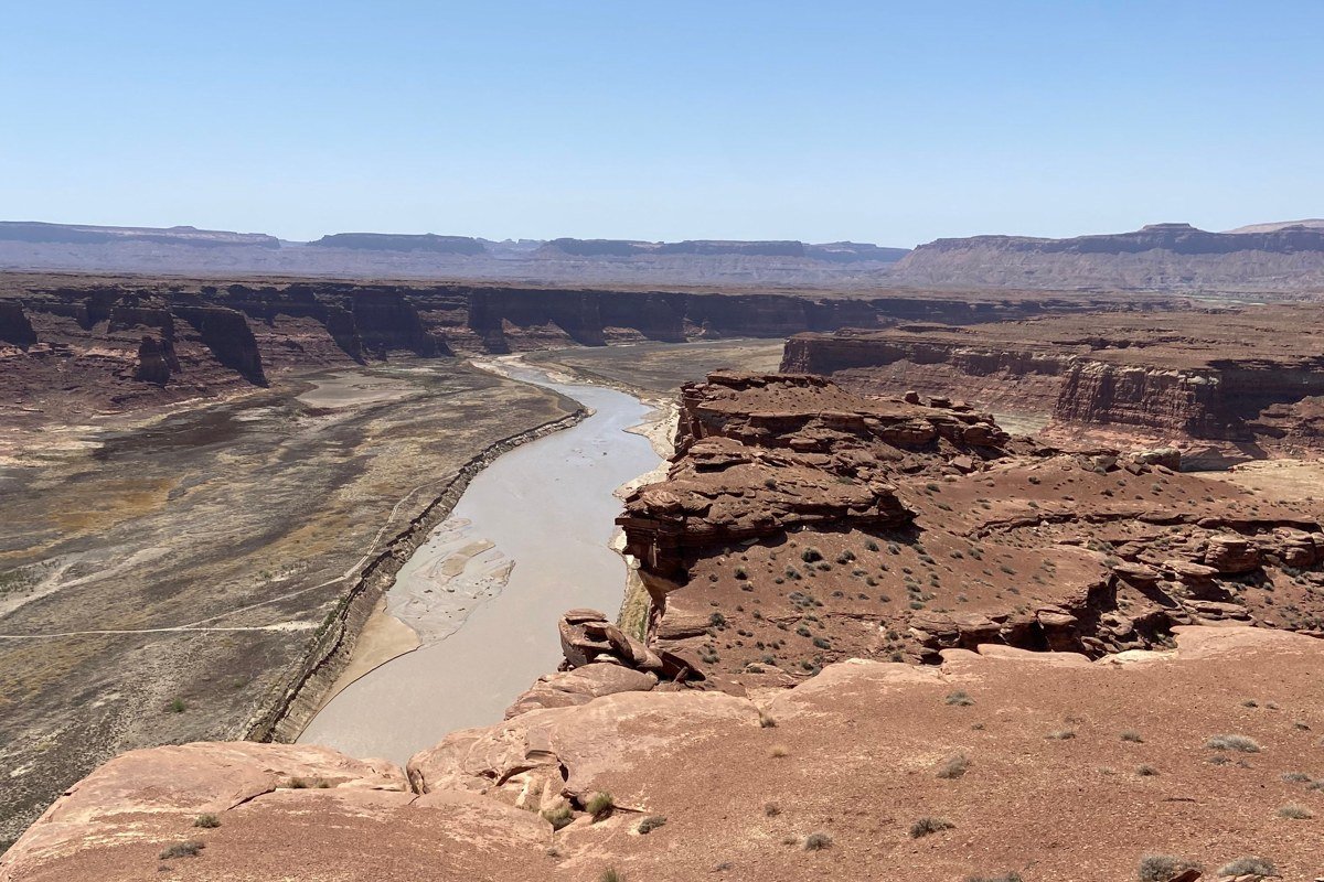
Westwater is a little confusingly named for a “Colorado” rafting list, since the run itself launches in Colorado but crosses into Utah almost immediately, and the entire stretch is managed by the Bureau of Land Management’s Utah office out of Moab, not Colorado agencies. Access requires a permit through BLM’s lottery-style reservation system, since daily launches are capped, and because the put-in sits near the Colorado-Utah border, most independent boaters apply for permits through the Utah BLM site even if they’re driving in from Grand Junction. The canyon itself is a dramatic shift from the pine-forest rapids further east: redrock walls, warm desert air, and a run that mixes big Class III-IV rapids like Skull and Funnel Falls with long, scenic flatwater stretches. Because of the permit system, most people run this through an outfitter who already holds launch dates (Adrift Adventures and Western River Expeditions both operate here) rather than trying to get one independently. Skull Rapid has a known hole called the Room of Doom that has held rafts and kayaks at certain flows, and guides scout it nearly every trip. It’s a full-day commitment from Denver, about four hours each way to the Colorado-side put-in, which is why most visitors combine it with a Grand Junction or Moab-adjacent trip.
Animas River, Colorado
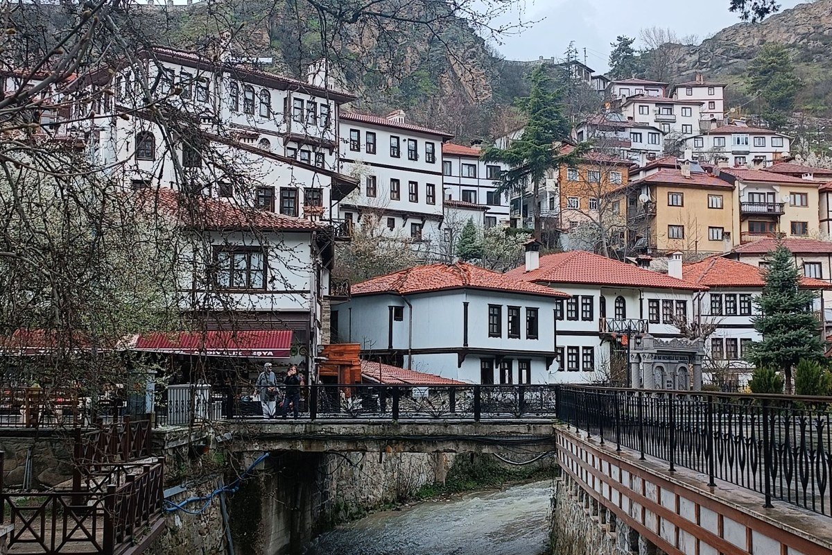
The Animas River through Durango, in the state’s southwest corner, is the run for travelers who want Colorado rafting without the Front Range crowds. The town stretch through Durango itself is mellow and often free to paddle in an inflatable kayak, but upstream sections deliver genuine Class III-IV water, especially during spring runoff when flows can climb past 2,000 cfs. It’s a six to seven hour drive from Denver, long enough that almost nobody treats this as a day trip, so most people fold this into a longer Southwest Colorado trip that includes Mesa Verde or the narrow-gauge train. September water levels here tend to drop below 500 cfs, low and technical rather than pushy, which locals consider underrated for intermediate paddlers. The upper stretch has a well-known strainer hazard near the highway bridge after high runoff years, worth asking your outfitter about directly if you’re booking in late May or June.
FAQ
What happens if my Colorado rafting trip gets cancelled for high water?
Most Arkansas River outfitters cancel or modify trips when flows exceed safe commercial limits for that specific run, which varies by company and by river (Pine Creek and Gore Canyon have lower high-water ceilings than Browns Canyon, for example). Policies differ: some outfitters offer a full refund, others rebook you on a different, lower-risk stretch of the same river at no extra cost. Ask about the specific cutoff cfs and refund policy before you book, not after.
Can I get a refund if a run is too low to float?
Low water cancellations are less common than high water ones but do happen on creek-fed runs like Clear Creek or the Numbers late in the season. Outfitters typically either shorten the run, move the put-in downstream, or offer a credit rather than a cash refund, so check the cancellation policy for low-water scenarios specifically, since many posted policies only address high water or weather.
What if I can’t get a Westwater permit through an outfitter?
If a commercial outfitter’s launch dates are full, independent boaters can apply directly through the Utah BLM lottery system for Westwater, though demand is high in peak season (May through July) and dates fill fast. Some people build in a backup plan, like Ruby-Horsethief Canyon upstream, which doesn’t require the same permit system.