
Most people drive to Mount Rainier at sunrise expecting a postcard, get a wall of gray, and leave by 9 a.m. convinced the mountain was a myth. That’s the mistake. Rainier, Washington, makes its own weather: cold air pools in the valleys overnight, the massive ice-covered summit chills the air around it, and the whole lower mountain often sits under cloud until the sun has had a few hours to burn it off. The fog isn’t a failure of the trip. It’s the first act.
This loop treats that microclimate as the whole point, and widens out to eight more foggy pullouts across the Pacific Northwest and Northern California where the same rule applies: show up early, expect gray, stay for the reveal. It’s a 520-mile loop over 5 to 6 days, starting and ending in Seattle, Washington, running south through Rainier’s foothills, west to the Washington coast, down into Oregon’s coast range, and back up through the Columbia River Gorge. Bring layers. Bring patience. Leave the sunrise-only itinerary at home.
Before you go: leave Seattle by 5:30 a.m. if Paradise is your first stop; the lot fills by 9 a.m. in summer regardless of fog. Pack a base layer, a wind shell, and a dry pair of shoes for the Hoh and Hall of Mosses trails; temperatures at Sunrise and Paradise can run 15 to 20 degrees cooler than the trip’s lowland starting points, even in July.
Stop 1: Paradise, Mount Rainier National Park, Washington
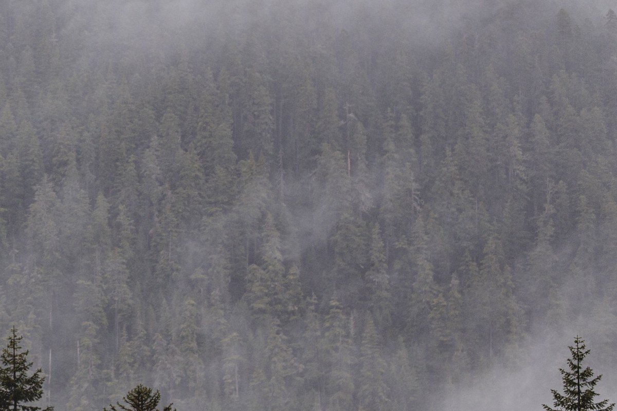
This is the mountain’s most-photographed face, and also its foggiest. Paradise sits at 5,400 feet, high enough to catch the marine layer rolling up from Puget Sound before it has anywhere else to go. Arrive by 7 a.m. and you’ll likely find the visitor center swallowed in cloud; stick around until 11 or noon and the summit often appears like it’s being unveiled, one ridge at a time. The park entrance fee is $30 per vehicle, good for 7 days, and the Paradise lot (around 300 spaces) fills before 9 a.m. in summer, fog or not.
Next leg: 45 minutes north on Washington 706 and WA-7 to Elbe, then 25 minutes west on US-12 toward the coast.
Stop 2: Mystery Bay, Washington
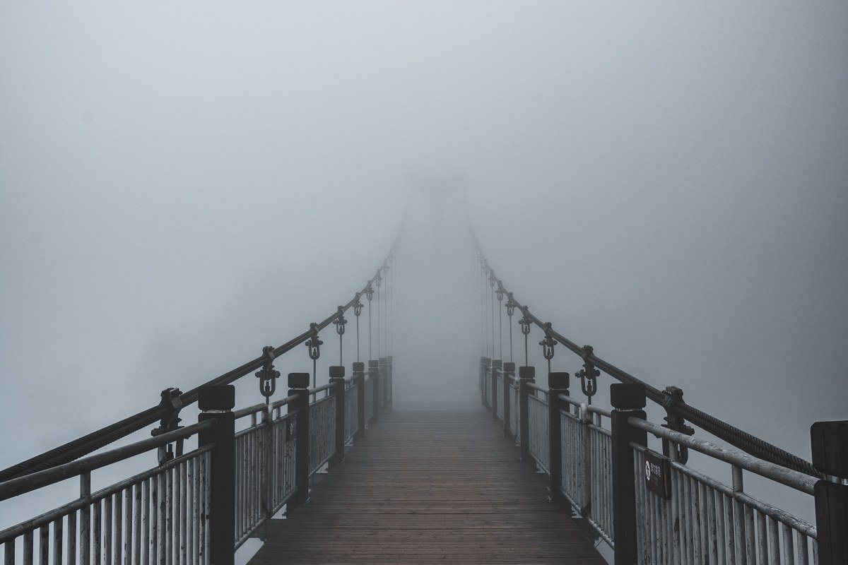
A detour worth the extra hour, if you have it. This small state park on the Quimper Peninsula sits on water that holds fog well into the morning in early fall, when overnight lows drop into the 40s and the bay’s surface stays warmer than the air above it. The dock posts fade to silhouettes, herons stand motionless in gray soup, and the lot (fewer than 20 spaces) is rarely more than half full. Day use is free; there’s no visitor center and no cell signal, so check tide tables before you leave the highway.
Next leg: 2.5 hours southwest via US-101 to the Washington coast at Kalaloch.
Stop 3: Kalaloch Beach, Olympic National Park, Washington
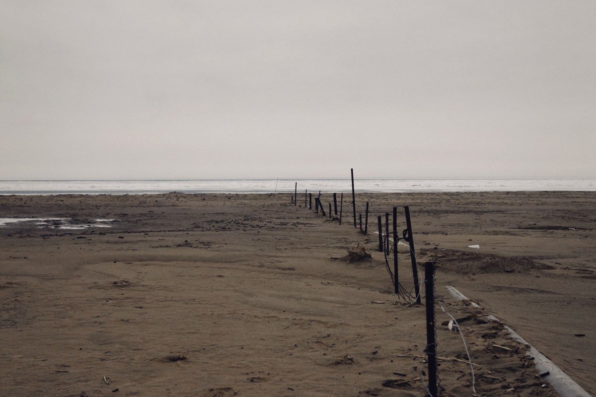
This stretch of the Washington coast is foggy often enough, in my experience, to plan around rather than hope against: Pacific fog rolls in most mornings between late spring and early fall, wrapping the driftwood piles and sea stacks in a soft gray that burns off by midday, sometimes not at all. Low tide plus fog is the combination to chase here; the wet sand mirrors what little light gets through. Parking is a dirt pullout right off 101 with room for roughly 15 cars, free, first-come.
Next leg: 1 hour north on US-101 to the Hoh Rain Forest turnoff, then 20 minutes to the visitor center.
Stop 4: Hoh Rain Forest, Olympic National Park, Washington
If you’ve ever typed “foggy places in the US” into a search bar expecting a forest rather than a coastline, this is the answer. The Hoh gets over 12 feet of precipitation a year, and even on dry days the canopy holds moisture as mist. The Hall of Mosses loop is 0.8 miles and almost always delivers: hanging club moss, filtered light, and a quiet so complete you hear your own footsteps on the trail. The access road can close in winter storms, so call ahead November through March, and the 40-space parking lot fills by mid-morning in summer.
Next leg: 3.5 hours south, looping back via US-101 around the peninsula and down through Aberdeen, to the Oregon coast at Cannon Beach.
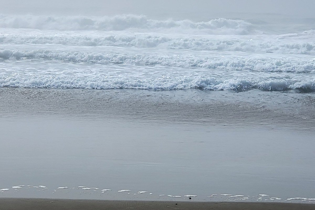
Stop 5: Cannon Beach, Oregon
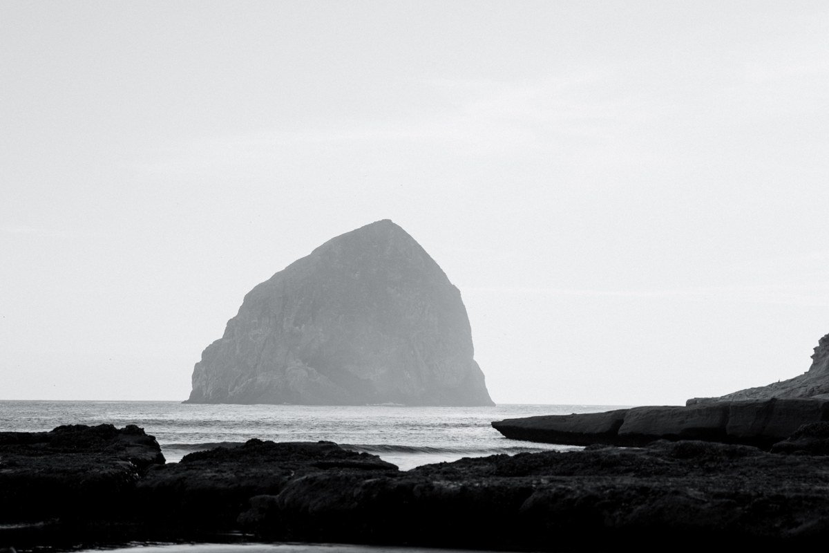
Haystack Rock photographs well in any weather, but fog turns it into something closer to a Japanese ink painting: the rock’s upper third vanishes, gulls cut in and out of visibility, and the crowds that mob this beach on clear days thin out considerably. Locals call the Oregon coast’s summer fog pattern “June gloom,” though it regularly runs into July. Public lots downtown run $3 to $5 for the day and fill by mid-morning on weekends.
Next leg: 1.5 hours south on US-101 to the Oregon coast range interior.
Stop 6: Cape Perpetua, Siuslaw National Forest, Oregon
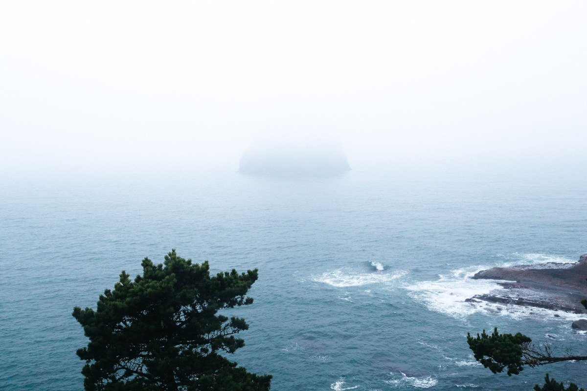
This is the stop people call overrated, and I’d push back on that. Cape Perpetua’s famous overlook, 800 feet above the water, is genuinely unimpressive when fog sits thick, because you lose the ocean entirely. The move is to skip the overlook on foggy mornings and instead walk the Giant Spruce Trail, a 2-mile round trip through the forest below, where the same fog turns into something intimate and close rather than a blank wall. Save the overlook drive for afternoon, after the marine layer has lifted, which it usually does by 2 or 3 p.m. in summer.
Next leg: 2.5 hours east and north on OR-34 and I-5 to Albany, then east toward the Columbia River Gorge, roughly 3 hours total.
Stop 7: Multnomah Falls, Columbia River Gorge, Oregon
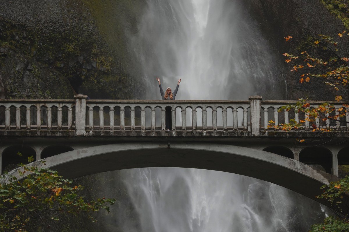
Here the fog is partly self-made: the falls throw up their own mist, and the Gorge traps cold river air beneath warmer air above, producing temperature inversions that fill the whole canyon with cloud through fall and winter mornings. Arrive before 8 a.m. to beat both the crowds and the fog’s burn-off. The main lot holds under 100 cars and the Oregon side runs a timed-use permit system seasonally (check current dates and fees before you drive up), or park at the overflow lot and walk in.
Next leg: 1 hour east on I-84 to Hood River, then across the river into Washington.
Stop 8: Trillium Lake, Mount Hood National Forest, Oregon
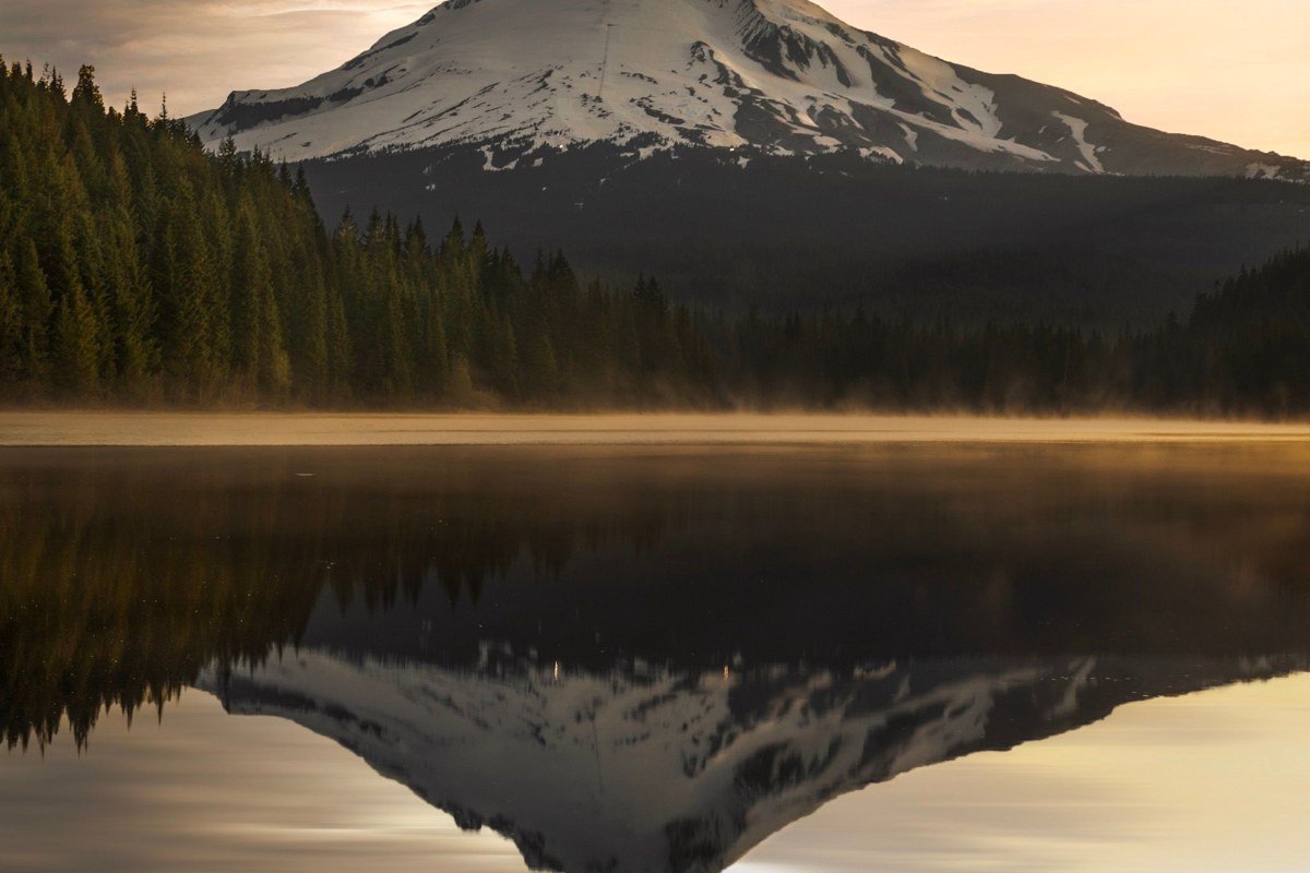
Trillium is the quieter cousin of the Gorge stops: a small lake ringed by a 1.9-mile loop trail, where morning fog sits on the water’s surface in sheets while Mount Hood, when it’s out, reflects in whatever clear water remains. In September and early October, the lake’s surface temperature difference against cold morning air reliably produces fog by sunrise; by midsummer, that same fog is often gone by 8 a.m. Day-use parking costs $5 and the lot holds about 40 cars.
Next leg: 2.5 hours northwest back toward Seattle via US-26 and I-5, with Mount Rainier visible (fog permitting) for the last stretch.
Stop 9: Sunrise, Mount Rainier National Park, Washington
The loop closes back at Rainier, but on the mountain’s drier east side. Sunrise sits at 6,400 feet, higher than Paradise, and because it’s on the leeward side it often pokes above the cloud layer that still has Paradise socked in. The Sourdough Ridge Trail, a 3-mile round trip starting right at the Sunrise parking lot, is the payoff: walk it mid-morning and you can sometimes watch fog filling the valleys below while you stand in full sun with the summit clear overhead. The road to Sunrise typically closes with the first snow, usually by late September or October, and doesn’t reopen until July, so this entire loop only works as described from roughly July through September.
Doing it in 3 days
Cut the coast detours. Day one: Seattle to Paradise, stay in Ashford or Packwood. Day two: Hood River via US-12 and I-5, hit Multnomah Falls early, sleep in Hood River. Day three: Trillium Lake at dawn, then back to Seattle. You lose the Olympic Peninsula and the Oregon coast, which means you lose the best true foggy-coastline stretch of the trip, but you keep both of Rainier’s faces and the Gorge’s inversion fog, which is the core idea.
Doing it in reverse
Starting from Portland, Oregon instead of Seattle works just as well and front-loads the Gorge’s morning fog, which in my experience holds later into the morning during the cooler months than the coastal fog further north. Run Stops 9 through 5 as written, then continue to the coast and up the peninsula. The only real casualty is timing at Sunrise: approaching from the south means you’ll hit Rainier’s east side later in the day, after some of that above-the-clouds window has already closed, so plan to overnight near Ashford and hit Sunrise the following morning instead of the same day.