
The fog doesn’t drift through Redwood National Park so much as arrive and recede on its own schedule, and some groves sit low enough that the sun rarely touches the forest floor before noon. These eight spots range from a five-minute roadside stop to a half-day commitment, sorted by how much effort and planning they demand. Pick a tier that matches your trip, not your ambition.
Easy wins (a weekend, no planning)
Lady Bird Johnson Grove, California
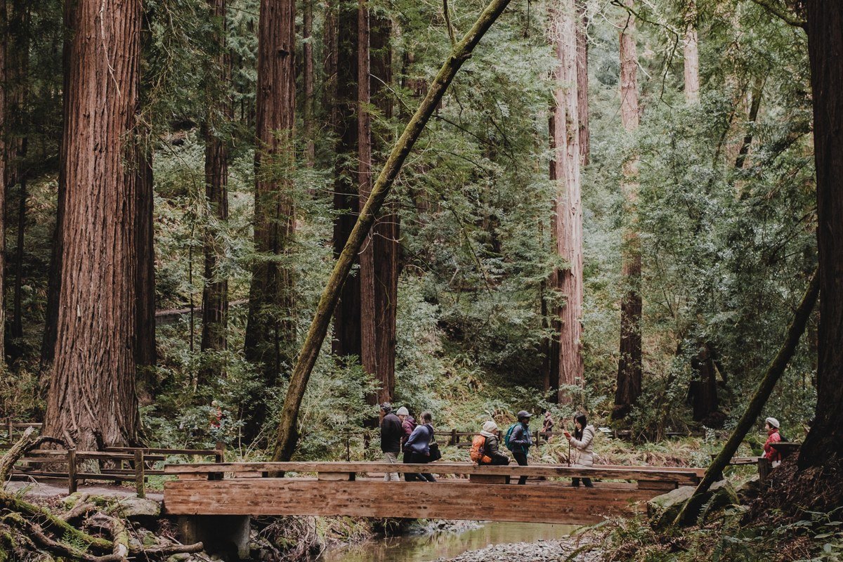
This is the grove most people photograph without knowing its name, a flat loop under some of the park’s most photogenic canopy, reachable by a short spur off Bald Hills Road. The fog pools here most mornings through summer, thick enough that the entrance sign itself sometimes disappears. A ranger at the Kuchel Visitor Center once told me the parking lot fog is usually gone by 11am even on days when the grove itself stays socked in until early afternoon, so don’t give up on a shot just because the lot looks clear.
Effort: 1 mile loop, flat, paved. No fee, no permit. Parking lot fills by mid-morning in July and August, so arrive before 9am. Nearest gas and food is in Orick, about 15 minutes away. Cell service is unreliable to nonexistent here, so download directions before you leave town. Nearest campground is Elk Prairie Campground in Prairie Creek Redwoods.
Prairie Creek Redwoods, California
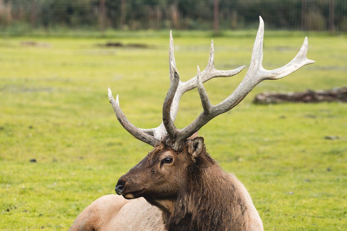
Drive the Newton B. Drury Scenic Parkway at dawn and you’ll understand why this stretch gets more camera time than almost anywhere else on the Redwood Coast. Roosevelt elk graze in the meadows right along the roadside, often half-obscured in low fog that clings to the grass longer than it clings to the trees. This is a state park, not the national park proper, so there’s a day-use fee at the entrance kiosk. Most visitors photograph the elk from the car window with the window frame cutting into the shot, pull into one of the marked turnouts instead, the extra thirty seconds makes the difference between a snapshot and a usable photo.
Effort: Drive-through viewing plus short trails under a mile. Day-use fee is $8 per vehicle, payable at the self-serve kiosk (cash or check only as of recent visits, confirm current rate and payment method with California State Parks before you go). Fifteen minutes north of Orick, which has the nearest gas station and grocery store. Cell coverage is spotty along the parkway. Elk Prairie Campground is right inside the park.
Simpson-Reed Grove, California
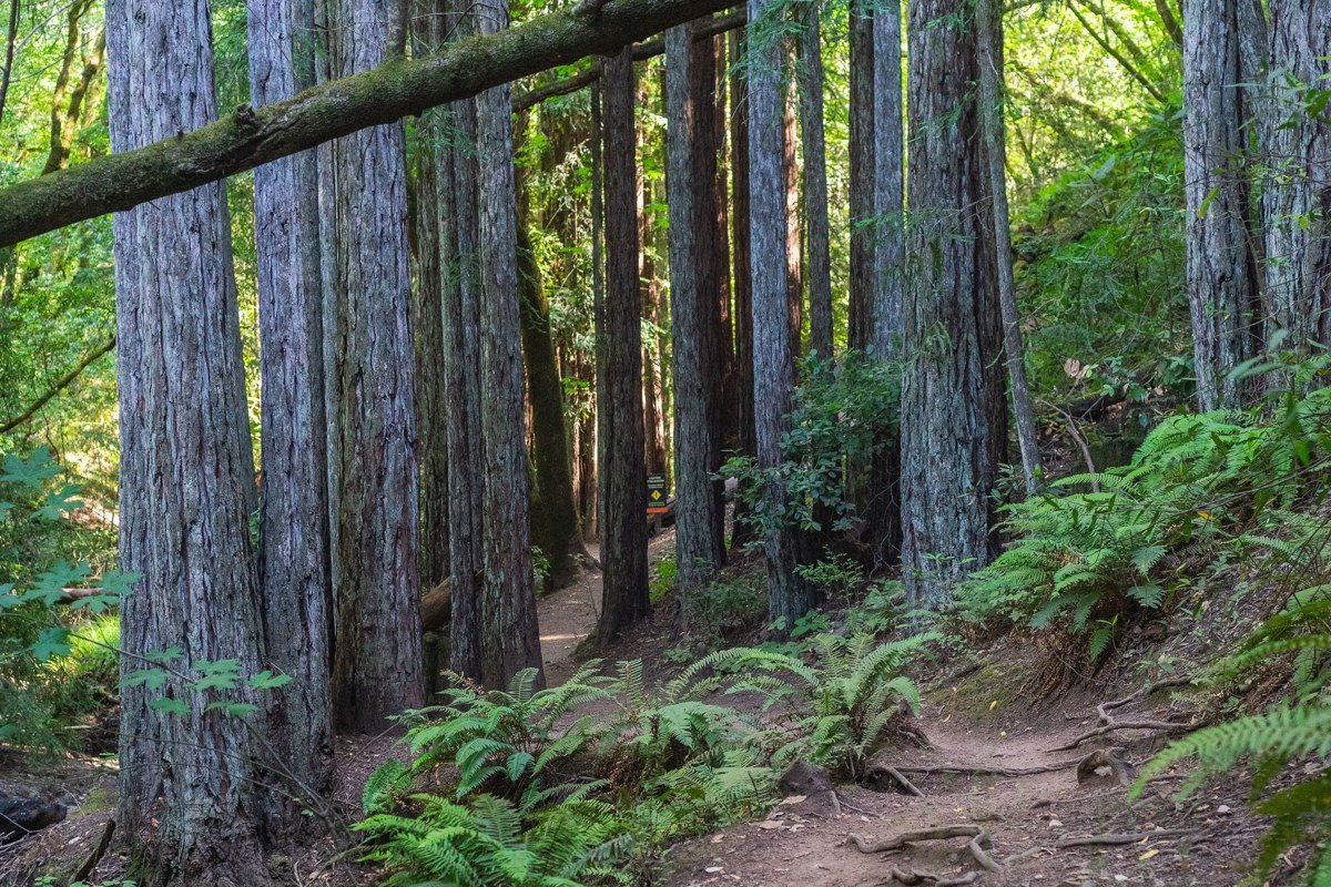
Tucked just off Highway 199 near the Jedediah Smith Redwoods entrance, this loop gets a fraction of the foot traffic that Lady Bird Johnson pulls, mostly because drivers heading to Crescent City blow right past the turnoff. The understory here is thick with sword fern and redwood sorrel, and the fog settles into the ravine beside the trail rather than the canopy. Crescent City, ten minutes north, has the nearest gas and food.
Effort: Under a mile, easy grade. No fee for this national park unit. Small pullout parking, rarely full. No cell signal in the grove itself.
Worth the drive
Fern Canyon, California
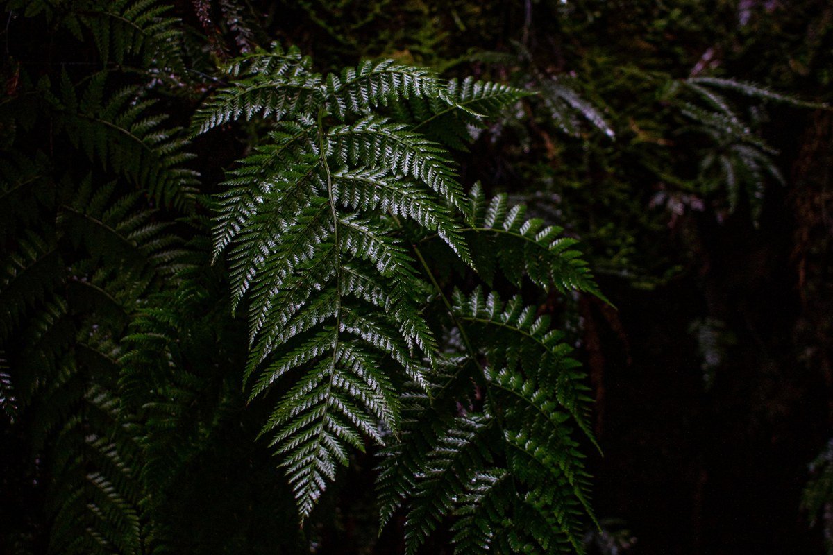
Fifty-foot fern-covered walls, a creek you cross on foot a dozen times, and fog that gets trapped in the canyon shadows well into the afternoon. Fern Canyon sits at the end of Davison Road, a narrow unpaved stretch that closes seasonally and requires a day-use vehicle reservation (booked through Recreation.gov) from late May through September to manage crowding. Most people photograph the ferns straight on and end up with a flat green wall and no sense of scale, crouch down at one of the creek crossings and shoot upward instead, the people in the frame give the walls their actual height.
Effort: 1 mile loop, several creek crossings (expect wet feet). Summer reservation required for Davison Road vehicle access, book ahead on Recreation.gov. About 45 minutes from Orick on an unpaved road, closed in winter and after heavy rain. No cell service past the Prairie Creek Visitor Center. Nearest gas and food is Orick. Elk Prairie Campground is the closest place to sleep.
Howland Hill Road groves, California
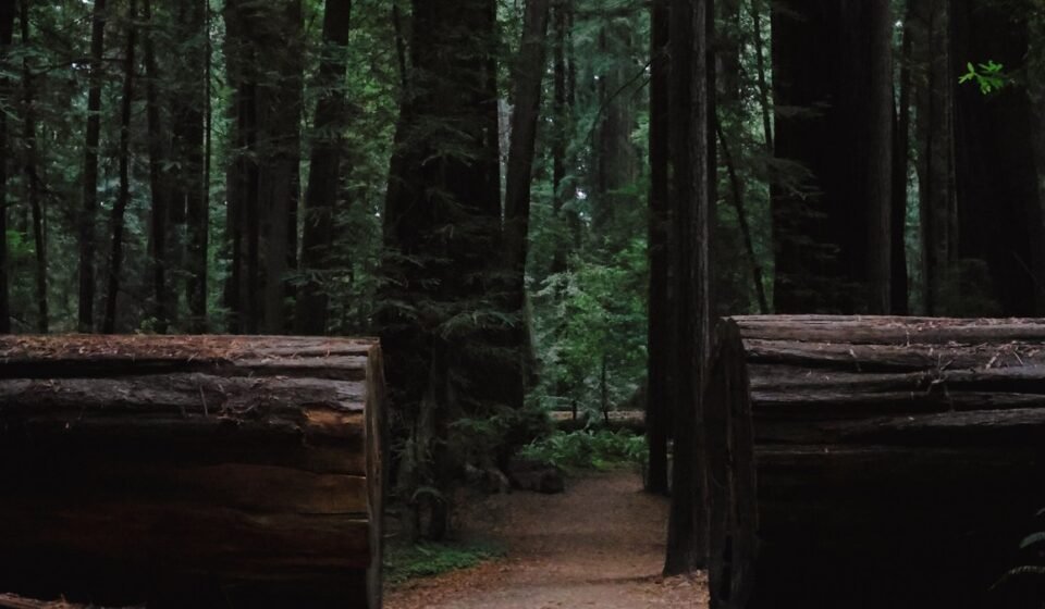
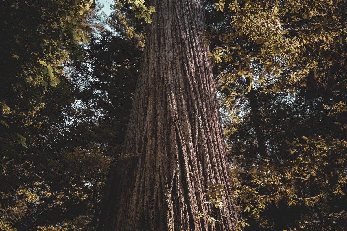
Reached from US Highway 199 via South Fork Road, this unpaved corridor through Jedediah Smith Redwoods delivers some of the densest, darkest old growth in the park, the kind where fog doesn’t need to roll in because the canopy keeps the light out regardless. Stout Grove sits along this road and is often called the single best grove in the park by people who’ve seen them all. A local I met at the Stout Grove trailhead in October said she times her visits for weekday mornings right after rain, when the road is nearly empty and the smell alone is worth the drive. The road is narrow, one lane in places, and not suited to RVs or trailers.
Effort: 6 miles of unpaved, slow driving, 20 to 30 minutes each way. No fee for the national park sections. Avoid after heavy rain, when potholes fill with standing water. No cell coverage along the road. Crescent City has the nearest gas and food, about 20 minutes out. Jedediah Smith Campground is a few minutes from the eastern end of the road.
Radar Station B-71, California
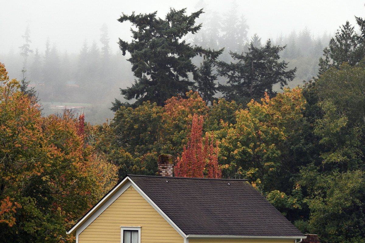
The strangest stop in the entire park and the one nobody plans a trip around, which is exactly why it belongs here. Built during World War II to look like an ordinary farmhouse, this early-warning radar station disguised its true purpose well enough to survive largely intact, tucked into the forest near the Klamath River. The windows are painted on, and up close you can still see where the fake chimney doesn’t quite line up with the roofline, a detail most people miss because they’re looking for the “ordinary house” and not the seams in it. Fog off the river mixes with the trees around it, and standing at the fake farmhouse door with mist curling past feels like finding a ghost story that happens to be true. A note from someone who got turned around out here: the trail isn’t loop-marked well, and in heavy fog it’s easy to lose the spur back to the parking area, so note which direction you came from before you start wandering for photos.
Effort: Reachable via a short trail off Requa Road near the Klamath River overlook. No fee, no permit, but bring a paper park map, it’s not well signed and phone GPS is unreliable this close to the river canyon. No cell service. Nearest food and gas is Klamath, about 10 minutes away. Nearest campground is Mystic Forest RV Park in Klamath or the park’s Gold Bluffs Beach Campground a bit farther south.
Earn it (long haul, big payoff)
Tall Trees Grove, California
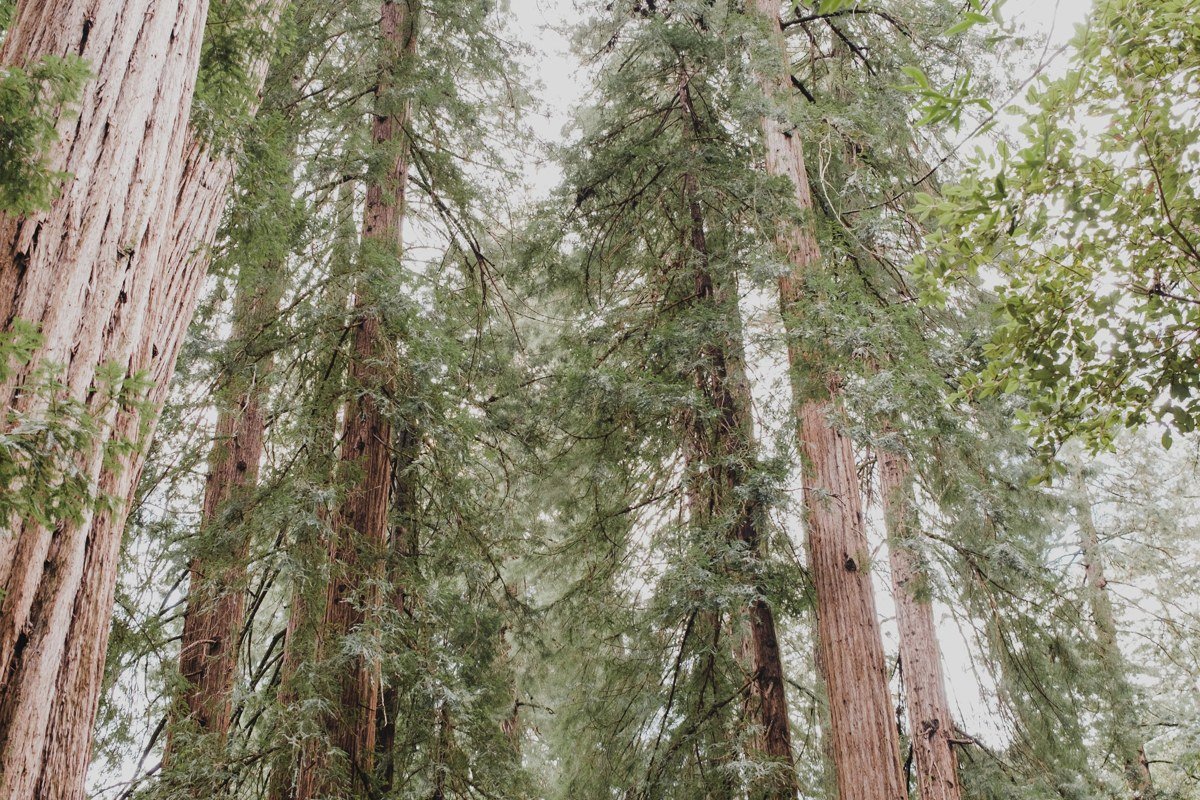
Home to some of the tallest trees on the planet, and the park deliberately makes it inconvenient to visit, which keeps it quiet. You need a free permit from the Kuchel Visitor Center (the park’s main visitor center, just south of Orick on Highway 101) that comes with a locked-gate access code for the dirt road leading in. The park issues a limited number of permits per day, confirm the current daily cap at the visitor center since it’s adjusted seasonally, so this is the one pick on this list that genuinely requires planning ahead, not just showing up. Go on a weekday if you can. A ranger mentioned that weekend permits can run out by mid-morning in July, while a Tuesday in September might only see a handful of cars at the trailhead all day.
Effort: Permit required (free, limited daily quota, pick it up the morning of at the visitor center, it’s not available online). 6 miles round trip, steep in sections, roughly 3 to 4 hours. Gravel access road unsuitable for low-clearance cars. No cell service anywhere on the route, including the trailhead. Orick has the nearest gas and food, roughly 30 minutes from the trailhead. Elk Prairie Campground is the closest place to camp.
Coastal Drive, California
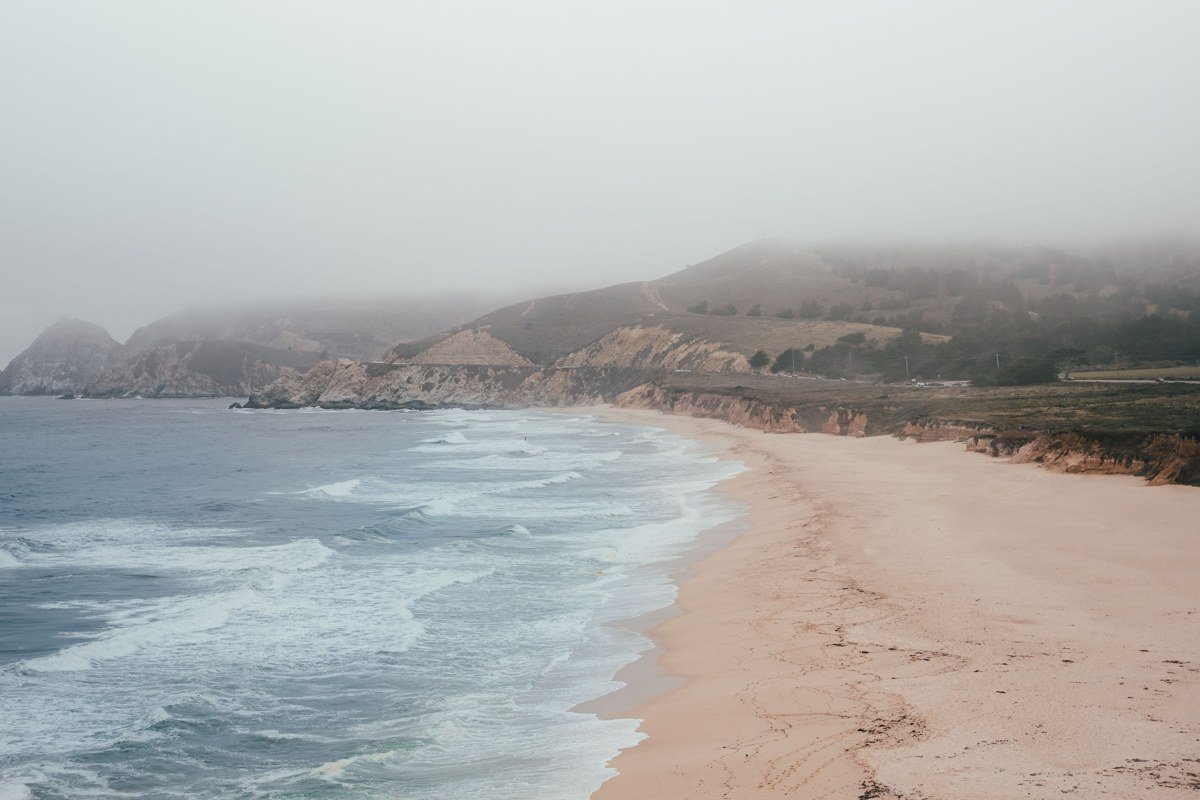
A narrow, winding, partly unpaved route tracing bluffs above the Pacific, where ocean fog and forest fog meet and neither wins. This drive connects to Requa Road and offers pullouts over the water where the fog bank itself becomes the view, swallowing the horizon whole for days at a stretch in summer. Parts of the old road have been closed permanently due to slides, so check current conditions with the park before committing, this is the drive that punishes anyone expecting a quick scenic loop.
Effort: About 8 miles, 45 minutes to an hour of careful driving. No fee. Not recommended for large vehicles or anyone in a hurry. No cell coverage along the bluffs. Klamath has the nearest gas and food. Gold Bluffs Beach Campground is the closest camping option.
For most travelers flying into San Francisco, California, Redwood National Park sits a solid five to six hour drive north on Highway 101, which is why so many visitors cluster around the easy-win groves near Orick and never make it to Howland Hill Road or Tall Trees. The actual best time to visit depends on what you want from the fog: late spring and early fall give you a fighting chance at sun, while the thick of summer guarantees the heavy mist this whole park is known for, sometimes for a week without a break. Moving up a tier next trip just means building in one extra day, enough time to get the Tall Trees permit in the morning and still catch Coastal Drive before the afternoon fog closes the view down completely.