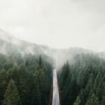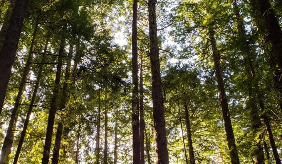

By 10 a.m. on a July morning along US Highway 101 in Redwood National Park, California, the fog has usually already won. It sits low in the river canyons, catches in the redwood crowns two hundred feet up, and drips onto sword ferns in a sound that isn’t quite rain. Locals just call it “June gloom” that forgot to leave by August. For photographers and quiet-trail hunters, it’s the reason to come at all.
This stretch of Northern California coast makes its own weather. Cold water offshore meets warm inland air, and the result is a marine layer that supplies a real share of the moisture these trees depend on, especially from late spring through summer when actual rainfall drops off. The fog isn’t a flaw in the plan. It’s the mechanism that keeps a redwood forest a redwood forest. Winters bring the opposite problem: real rain, slick boardwalks, and some access roads that narrow down to caution rather than closure.
If you want to stop guessing, check NOAA’s marine layer and coastal stratus forecasts the night before (the National Weather Service’s Eureka office covers this stretch of coast). As a rule of thumb, the fog is thickest and lowest right around sunrise, starts lifting off open meadows and beaches by mid-morning, and holds longest in river canyons and dense old growth, sometimes past noon. If the forecast shows a strong marine layer and light onshore wind, head for the coastal groves first; if it’s weak or patchy, go inland and uphill instead.
This is for travelers who want the cathedral-light, ghost-forest version of redwoods, not the postcard blue-sky version, and who’d rather plan around fog than gamble on it.
The Smith River corridor
This northernmost cluster sits inland of the fog belt’s thickest band but catches it often enough, and the canyon walls trap moisture that lingers into midday. It’s reached via US Highway 199 from Grants Pass, Oregon, or Crescent City, California, then south on South Fork Road to the unpaved but graded Howland Hill Road. Boy Scout Tree Trail and Stout Grove sit about 8 minutes apart on that same road.
Boy Scout Tree Trail, California
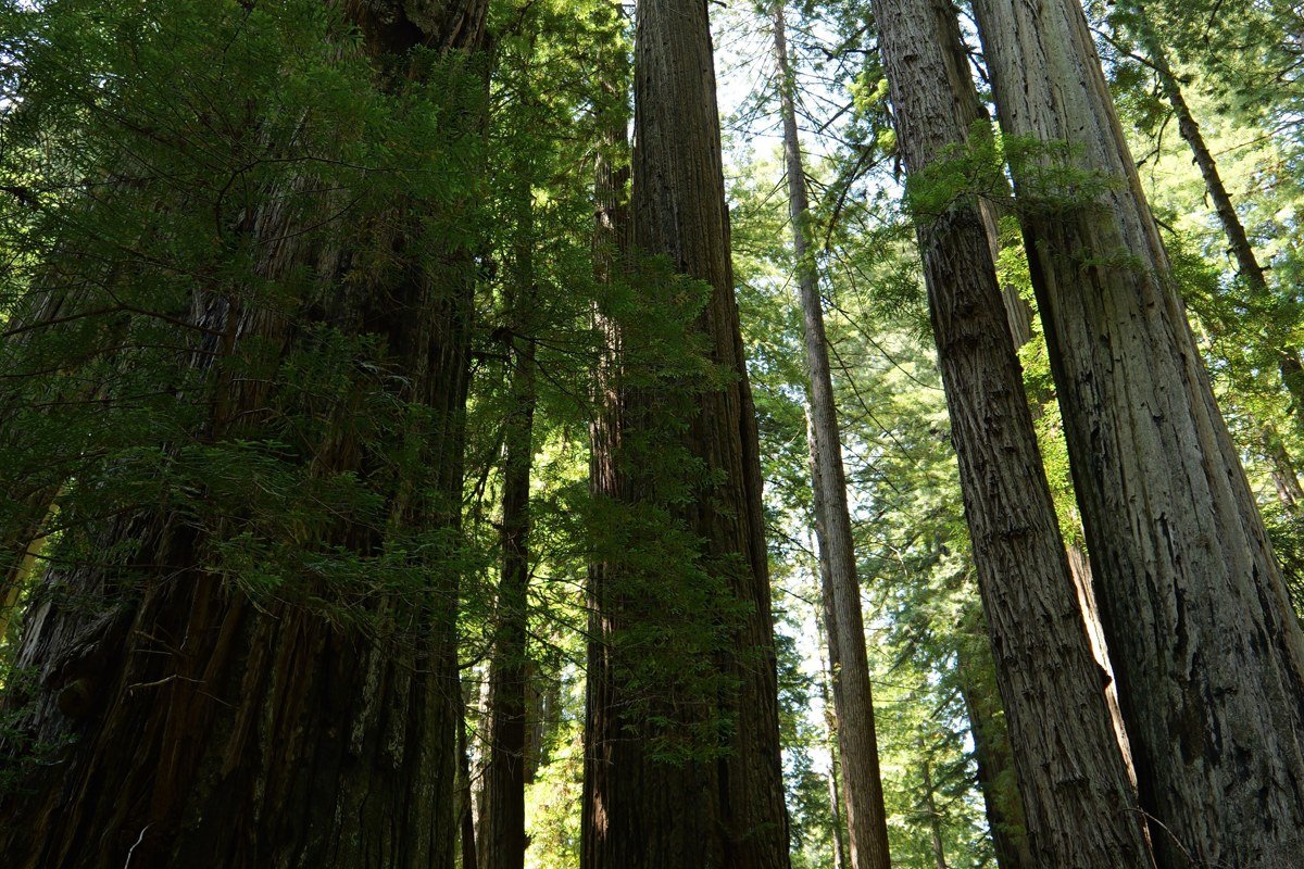
This 5.5-mile out-and-back off Howland Hill Road inside Jedediah Smith Redwoods State Park gets less traffic than the park’s roadside groves simply because the road to it is slow, narrow dirt that rattles rental cars. That’s the filter that keeps it quiet. Fog pools in the first mile where the trail dips near a creek drainage, and old-growth trunks eight and nine feet across disappear into it overhead. Jedediah Smith charges an $8 day-use fee per vehicle, the same as the other state park units folded into Redwood National and State Parks.
Stout Grove, California

A flat, half-mile loop, which makes it the easiest “big tree” payoff in the entire park complex. The grove sits in a river bend that holds fog in a bowl shape, so even when Crescent City twenty minutes north is clear, Stout Grove can still be socked in. Go before 9 a.m. Tour buses and the midday crowd thin the mist’s drama even when the fog itself hasn’t lifted, because a dozen people with phones out changes the silence that makes this grove work.
The Coastal Drive loop
South of Crescent City, this cluster hugs the ocean directly, where the fog forms. Reach it via Requa Road or the historic, partly unpaved Coastal Drive, both accessed off US 101. This is also where the park’s odder history lives. Hidden Beach, Radar Station B-71, and the Flint Ridge section are all linked by Coastal Drive, roughly 8 to 10 minutes apart by car.
Hidden Beach via Coastal Trail, California
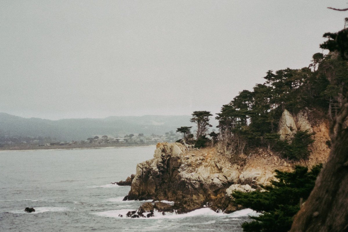
A 3.6-mile round trip from the Klamath Overlook area, this segment runs close enough to the bluff edge that on foggy days you hear the surf below before you ever see it. The trees here are shorter and wind-bent compared to inland groves, which gives the fog a different character: horizontal, moving, instead of hanging still. This is the stretch where the marine layer is at its thickest and most reliable, since it’s forming right offshore rather than drifting inland.
Radar Station B-71, California
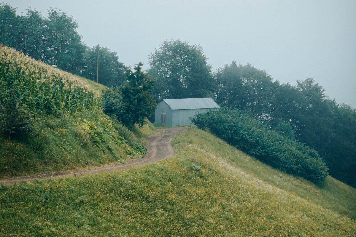
This is the park’s strangest stop, and most visitors drive past without knowing it’s there. Built during World War II and disguised as an ordinary farmhouse, barn, and outbuilding, it was a real early-warning radar installation watching for a Pacific invasion that never came, backed by anti-aircraft guns and military police. Fog here isn’t scenery, it’s camouflage: the structures were built low and plain specifically to vanish into coastal haze and a working ranch landscape. It’s a five-minute walk from a pullout on Coastal Drive, and the sense of something hidden in plain sight only gets stronger when the fog is actually in.
Flint Ridge section, Coastal Trail, California
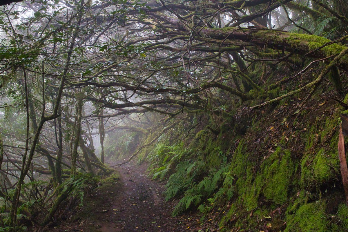
Fewer people walk this northern segment of the Coastal Trail because it doesn’t connect as conveniently to a parking lot loop. That isolation is the appeal. The forest here runs denser and the canopy closes tighter, so fog gets trapped rather than blown through, sometimes holding on well past noon on days when the coastline nearer Crescent City has already burned off. Bring real rain-shell layers; the drip off the canopy soaks through faster than actual rain does.
Prairie Creek and the Drury Parkway
This central cluster, reached via the Newton B. Drury Scenic Parkway (a slower, parallel alternative to US 101), holds the park’s most famous groves and its elk. It’s also the most reliably foggy stretch in any season because the parkway runs through a river flat that collects cold air overnight and holds it. Fern Canyon, Prairie Creek Trail, and Tall Trees Grove are all within a 15 to 20 minute drive of each other off the parkway.
Fern Canyon via James Irvine Trail, California
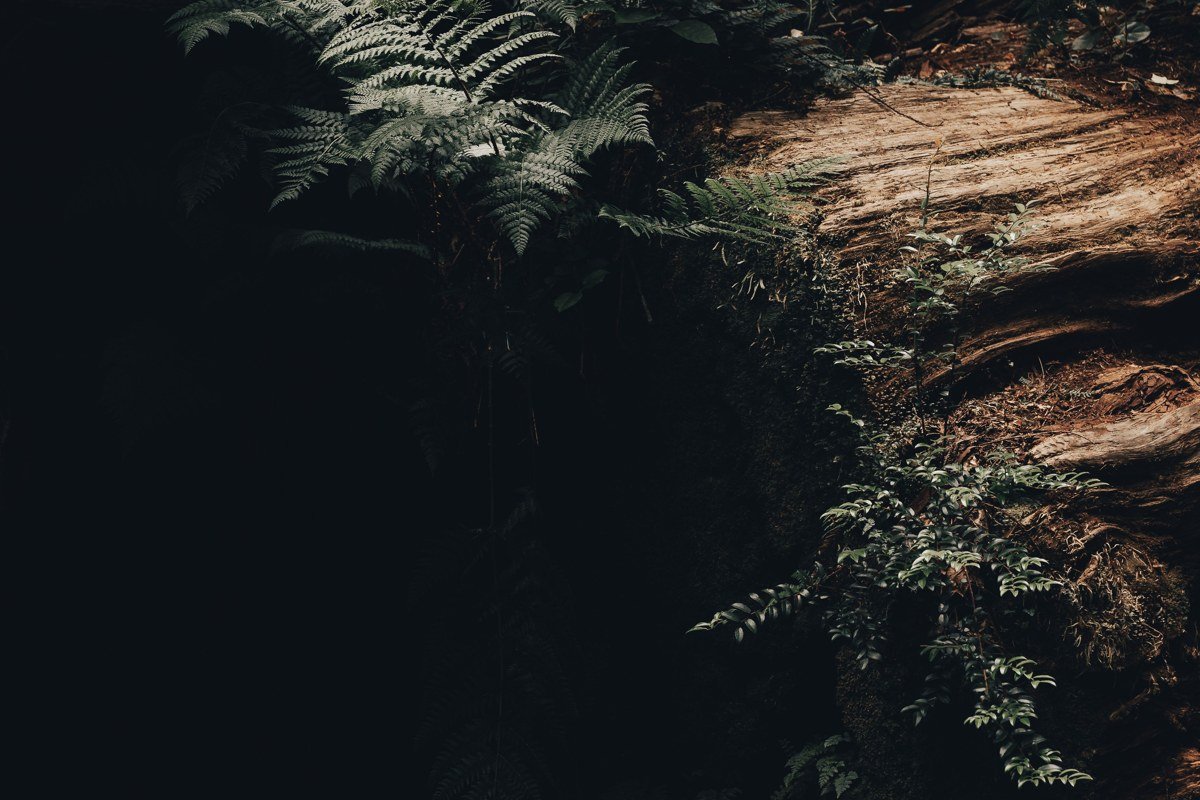
A 70-foot-deep canyon with walls packed solid in sword ferns, reached either by a short direct walk from Gold Bluffs Beach or the longer 9-mile round trip via the James Irvine Trail through old growth. Fog and this canyon were made for each other; the walls stay wet regardless of season, and mist pools at the canyon floor even on days that are bright everywhere else nearby. Access note that trips people up: the road in from the Drury Parkway crosses Home Creek, a ford that rangers can close after heavy rain raises the water level, and Gold Bluffs Beach Road requires a vehicle reservation during the summer season. Confirm both the ford status and the current reservation window on the NPS site before you drive out, since the rules shift year to year.
Prairie Creek Trail, California
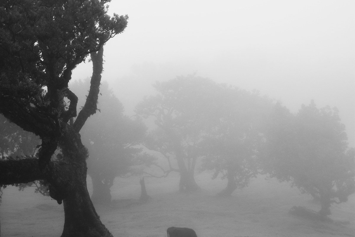
This loop runs through Prairie Creek Redwoods State Park, where the fog sits over open meadow as often as forest, and Roosevelt elk graze right at the tree line most mornings in spring and early summer. The visitor center here is a good one to know about, since it’s smaller and less crowded than the main Redwood National and State Parks visitor center down in Crescent City, but staff can still answer road and tide questions for the whole park system. Fog burns off meadow sections faster than it does the canyon groves nearby, so timing matters more here than elsewhere; arrive by 8 a.m. if you want both elk and mist in the same frame.
Tall Trees Grove, California
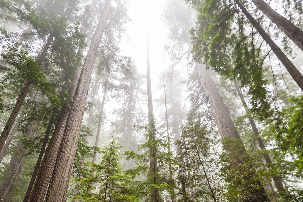
Home to some of the tallest trees on the planet, this grove is deliberately hard to get to: a free permit is required, obtainable at the Kuchel Visitor Center in Orick or through the park’s recreation.gov listing, and it caps the number of vehicles allowed down the gated Tall Trees Access Road each day. Check current permit numbers and whether same-day permits are still offered before you go, since NPS adjusts this seasonally. That gatekeeping is why fog here feels undisturbed rather than photographed to death. The hike down to Redwood Creek is steep, about 4 miles round trip with roughly 800 feet of elevation loss on the way in, and the fog tends to settle in the creek bottom and stay there while the ridge above clears.
Lady Bird Johnson Grove and the Bald Hills
This small cluster sits up and inland on Bald Hills Road off US 101 near Orick, gaining elevation fast enough that it sometimes pokes above the fog layer entirely, which makes it the park’s best bet for seeing the mist from above rather than standing inside it.
Lady Bird Johnson Grove Trail, California
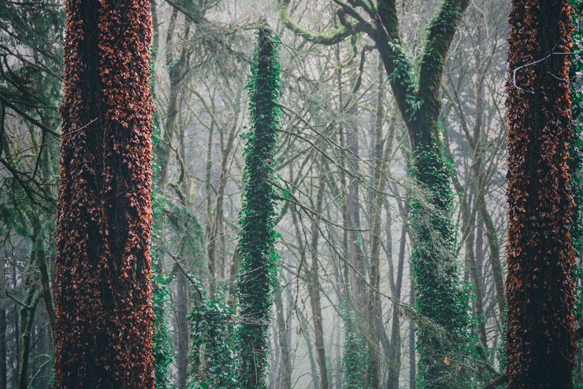
An easy 1.5-mile loop, paved and well-signed, with about 200 feet of elevation gain, that works as the park’s unofficial introduction grove. Because Bald Hills Road climbs steeply right from the trailhead turnoff, fog behavior here is genuinely different morning to morning: some days it’s a wall of white at ground level, other days you’re standing in clear air looking down at a fog bank filling the valley toward the coast. That second version, sunlight breaking through at altitude while the ocean side stays buried, is rare enough, and specific enough to this one turnoff, that most visitors leave without knowing it was possible that morning.
No other stop on Bald Hills Road is worth the drive time on its own, so treat this as a standalone sunrise stop on the way in or out from Orick.
If you only have a long weekend, go with Prairie Creek and the Drury Parkway. It’s the one cluster where the famous names (Fern Canyon, Tall Trees, the elk meadows) sit close enough together to do properly in two or three days without burning them on driving, and it’s the most dependably foggy ground in the park regardless of whether you arrive in June or October. Pick summer if the fog itself is the destination; pick April-May or September-October if you want a mix of mist in the morning and a real shot at sun by afternoon.