
Cannon Beach, Oregon and the Palouse, Washington sit about six hours apart, and they produce fog by completely different rules. Cannon Beach gets marine layer that burns off by 10am on a good day, so you shoot at dawn or you miss it. The Palouse gets valley fog that pools in the low ground on cold, clear autumn mornings and can sit there until mid-morning, which means you can actually sleep in nearby and still catch it. Treat a Pacific Northwest road trip like a single itinerary with one climate and you’ll waste half your mornings waiting on the wrong kind of weather.
This list came together the way most useful ones do: by paying attention to which stops reward checking a forecast the night before, and which ones you can plan around a calendar instead. For the fog-dependent stops, a NOAA point forecast for the specific town (not the regional one) will show dewpoint spread, which is the number that actually predicts fog: when the air temperature and dewpoint are within about 2-4°F of each other overnight, expect fog by morning. Windy.com’s cloud layer view, set to the low-cloud layer, is the other tool worth bookmarking, especially for the inversion stops where you need to know if the cloud deck sits below a viewpoint’s elevation.
A standard Pacific Northwest road trip itinerary runs Seattle, Washington to Portland, Oregon to the Oregon Coast and back, and that’s a fine skeleton. What changes everything is sequencing the stops around when fog actually forms in each one, rather than driving them in whatever order Google Maps suggests.
| Place | Best for | Getting there |
|---|---|---|
| Cannon Beach, Oregon | Haystack Rock in marine fog | 90 min from Portland via US-26 |
| Palouse, Washington | Rolling farmland fog, fall | 1.5 hr from Spokane via US-195 |
| Olympic National Park (Hoh Rainforest), Washington | Permanent misty rainforest | 2.5-3 hr from Seattle via US-101 |
| Columbia River Gorge, Oregon | Waterfall fog and low cloud | 30-45 min from Portland via I-84 |
| Mount Rainier National Park, Washington | Alpine cloud settling below the summit | 2 hr from Seattle via WA-410 |
| Multnomah Falls, Oregon | Mist off the falls itself | 30 min from Portland via I-84 |
| San Juan Islands, Washington | Fog over water, ferry views | 2 hr drive plus ferry from Seattle |
| Crater Lake National Park, Oregon | Cloud inversions over the caldera | 4-5 hr from Portland via I-5 and OR-62 |
| Astoria, Washington/Oregon border | River fog where the Columbia meets the sea | 2 hr from Portland via US-30 |
| Forks, Washington | Constant drizzle and low cloud | 3 hr from Seattle via US-101 |
Cannon Beach, Oregon

Marine layer rolls in off the Pacific most mornings between late spring and early fall, and it’s thickest right around sunrise, roughly 5:30 to 6:15am depending on the month, thinning fast once the sun has real height. If you want Haystack Rock looking like it’s floating in nothing, you’re on the beach by 6am, not 8. The main public lot near Haystack Rock holds under 100 cars and is routinely full by 7am in July and August. Check the NOAA point forecast for Cannon Beach specifically the night before: a dewpoint spread under 3°F is your green light.
Palouse, Washington
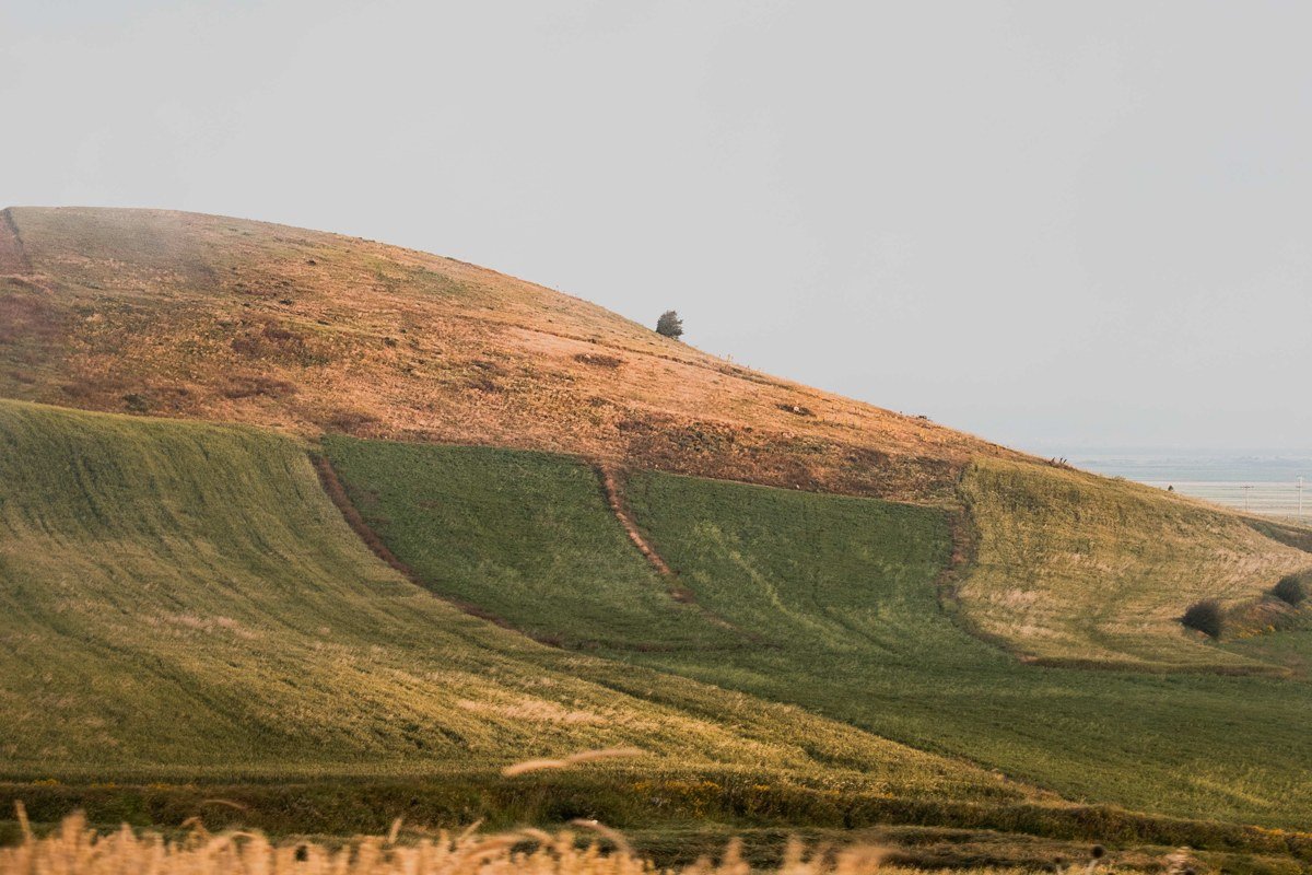
This is the stop that surprises people. The Palouse isn’t coastal at all, it’s rolling wheat country in the southeastern part of the state, and its fog comes from cold air sinking into the valleys on clear, calm nights, then sitting there until the sun burns through. Late September through November is prime, and unlike the coast, the fog here can hold until 9 or 10am, which makes it far more forgiving to photograph. Steptoe Butte State Park is the obvious viewpoint, a single switchbacked road climbing about 1,000 feet above the surrounding farmland to a summit that puts you above the fog line looking down at fields poking through like islands. Day-use is $10 per vehicle if you don’t have a Discover Pass.
Olympic National Park (Hoh Rainforest), Washington
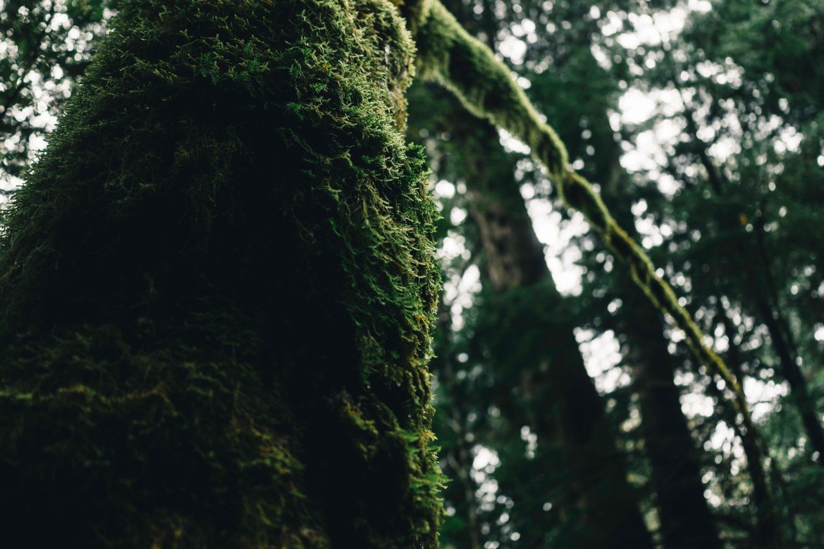
The Hoh doesn’t need a forecast so much as a season. This is temperate rainforest, one of the wettest places in the contiguous US with annual rainfall north of 140 inches in the valley, and mist among the moss-covered maples is close to a daily occurrence from fall through spring. Summer thins it out and brings the opposite problem: the visitor center lot holds around 125 vehicles and fills by mid-morning on summer weekends, with rangers turning cars away at the entrance road until space opens up. The Hall of Mosses loop is short enough to do even if you’re road-weary, and the fog here reads less like weather and more like the forest’s permanent condition.
Columbia River Gorge, Oregon
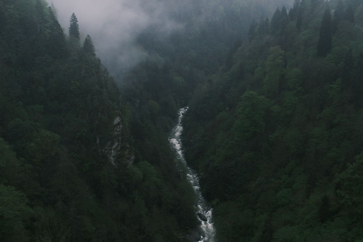
Fall and winter mornings, temperature inversions trap cool, moist air in the gorge itself while the rim stays clear, so you can drive up to a viewpoint like Crown Point and look down at a river of cloud instead of a river of water. It’s one of the few spots on this list where you want elevation, not the valley floor, to see the effect properly. Windy.com’s low-cloud layer is the tool to check here: if it shows cloud capped below roughly 1,000 feet, Crown Point (at 733 feet) will clear it. The historic Columbia River Highway parallels I-84 and gives you the pullouts you need. Go after a cold, clear night rather than a rainy one, since rain tends to clear the inversion out.
Mount Rainier National Park, Washington
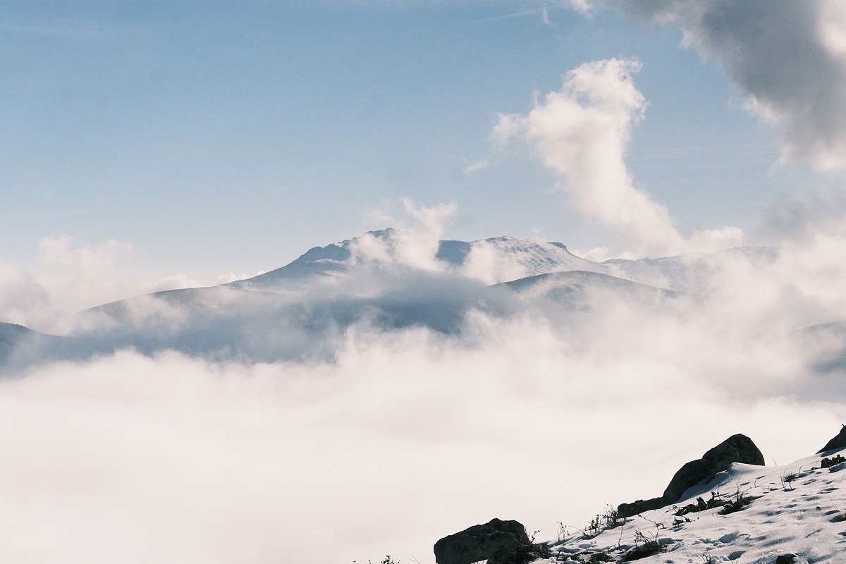
Rainier generates its own weather, and the cloud deck frequently sits a few thousand feet below the summit while Paradise (5,400 feet) or Sunrise (6,400 feet), the two main visitor areas, stay in clear air above it. That inversion is the shot: a floor of white cloud with the peak rising clean out of it. Sunrise closes for the winter, typically early October through July depending on snowpack, while Paradise stays accessible but requires traction tires or chains in snow season. Sunrise, on the mountain’s drier side, often has better inversion odds than the more-photographed Paradise.
Multnomah Falls, Oregon
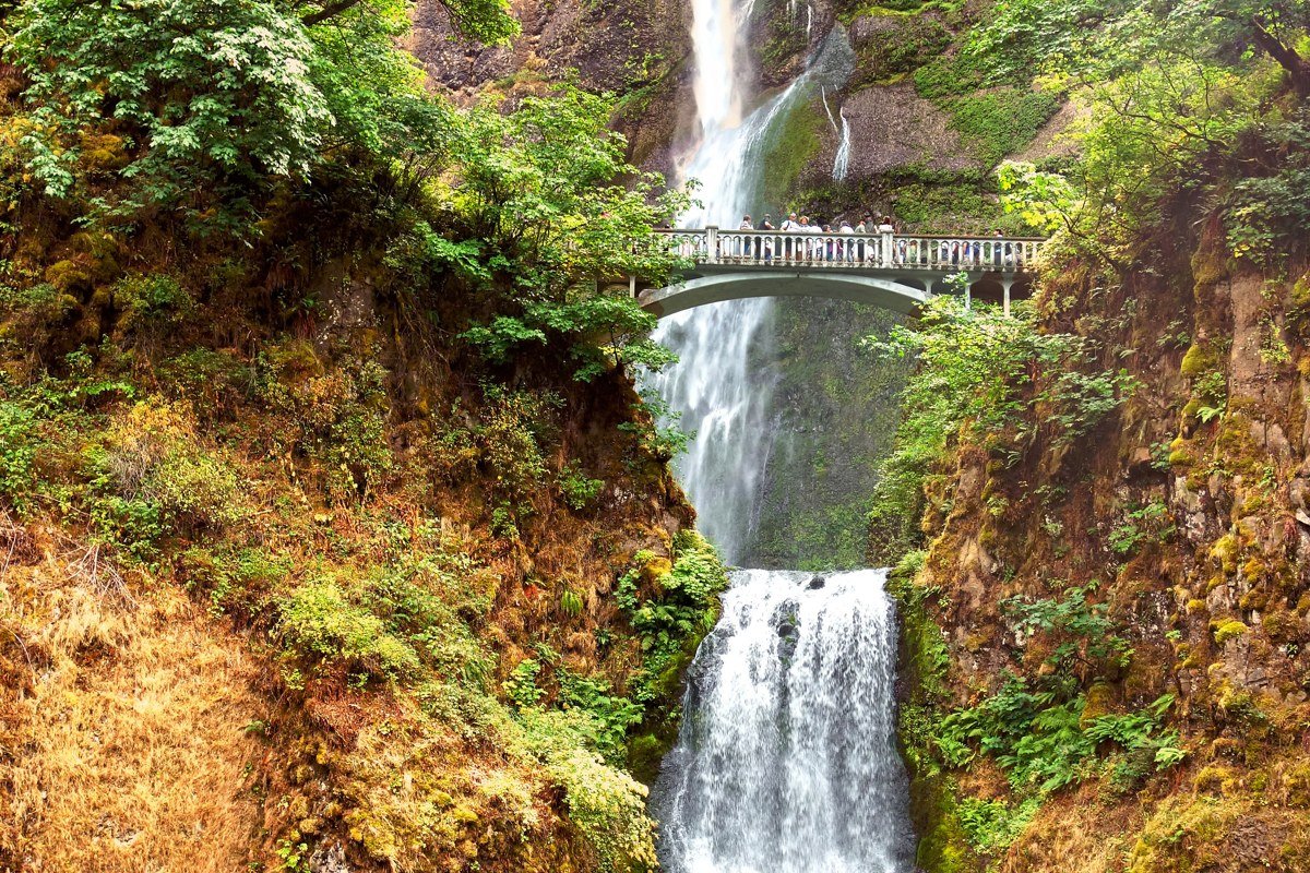
This is the easiest fog on the list to guarantee, because the falls make their own mist regardless of the sky above. It’s also the most visited waterfall in the state, with a parking lot of around 130 spaces off I-84 that overflows by mid-morning most of the year. Since 2022, a timed-use permit has been required for the Multnomah Falls parking lot during peak season (roughly May through early September); permits run $2 per vehicle and release in two batches on recreation.gov, so check current dates before you go since the exact window has shifted year to year. The upper viewpoint, a short but steep switchback climb, puts you closer to the drifting spray. Treat this as a 45-minute stop on the way to or from the Gorge proper, not a destination on its own.
San Juan Islands, Washington

Sea fog here behaves more like coastal California than the rest of Washington: it forms over cooler open water and can roll between islands unevenly, so one island sits in sun while its neighbor disappears entirely. The ferry crossing itself, run by Washington State Ferries out of Anacortes, becomes part of the experience when fog is moving: boats slow down and horns sound at intervals. Summer sailings can run well over an hour wait for vehicles without a reservation, and reservations open 30 days out on the WSF website. Shoulder season trims the wait and still delivers fog, just with fewer sailings to work around.
Crater Lake National Park, Oregon
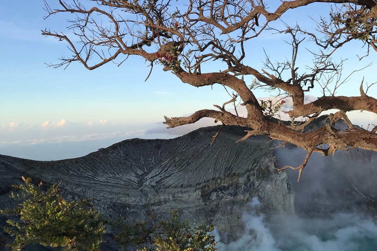
Crater Lake’s inversions are rarer and more dramatic than anything else here: cold air pools inside the caldera itself, and on the right late summer or early fall morning the lake vanishes under a flat white layer while the rim trail stays in sunshine. Rim Drive, the 33-mile road circling the crater, closes in sections through winter; in recent years the full loop has typically reopened in stages between late June and mid-July, so confirm current status on the park’s website before building a trip around it. It’s also the farthest detour on this list, which is why most Pacific Northwest road trip itineraries of a week or less skip it. If you have 10 to 14 days, it earns the extra driving.
Astoria, Washington/Oregon border
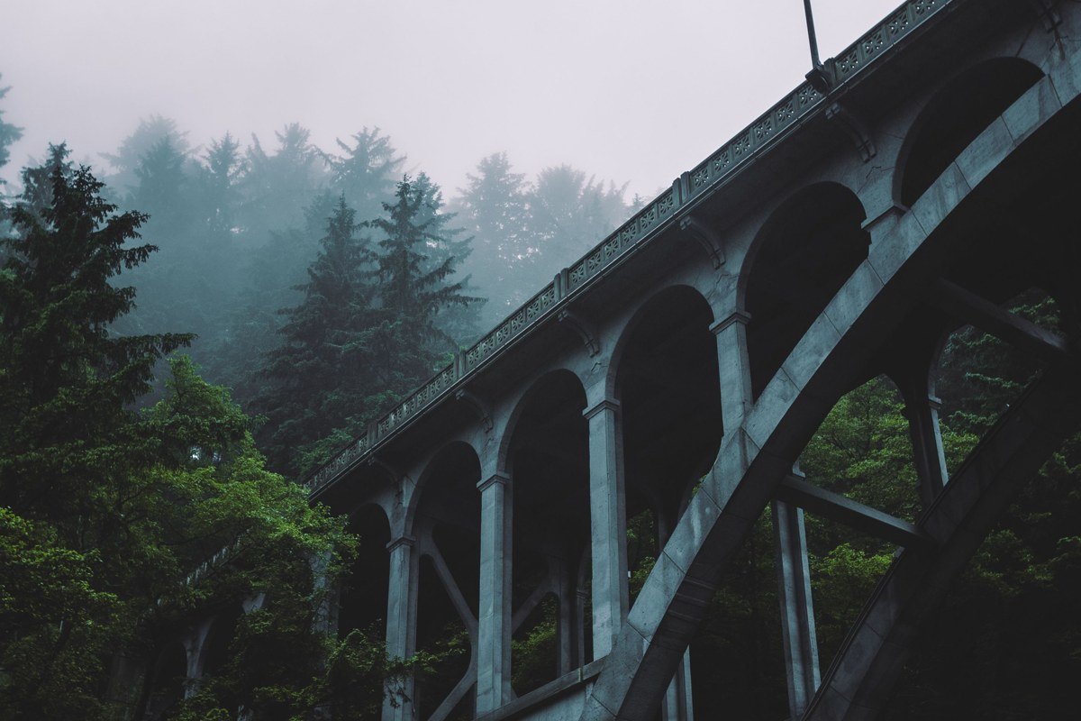
Where the Columbia River meets the Pacific, river fog and sea fog both form, and the four-mile Astoria-Megler Bridge connecting Oregon to Washington’s southwest corner has a habit of vanishing mid-span into the murk. Mornings in fall and winter are your best odds, and the view from the Astoria Column up on Coxcomb Hill (600 feet above the river) shows you the fog pattern across the whole river mouth before you decide where to chase it. This town also works as a practical overnight between the Washington coast and Oregon’s, which matters on any version of this trip running 7 days or longer.
Forks, Washington
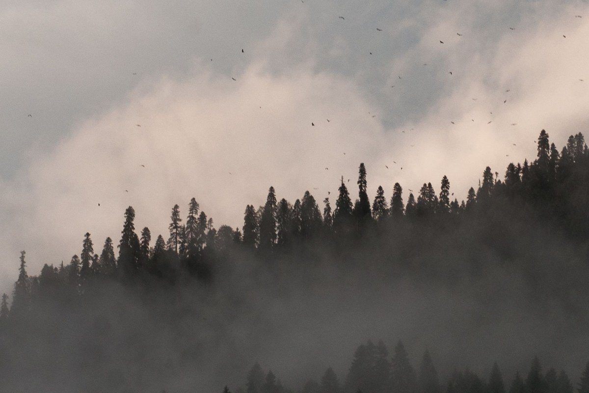
Forks doesn’t do dramatic fog banks so much as a flat, low grey ceiling that rarely lifts, a function of being wedged between the Olympic Mountains and the coast on the wettest side of the peninsula. This isn’t a forecast-chasing stop, it’s closer to a guarantee: expect it any time outside of a dry summer stretch. It’s the best-positioned base for both the Hoh Rainforest and the wilder, less-visited beaches like Rialto and Second Beach, roughly 25 minutes from town. Gas stations thin out fast past here, so fill up before you commit to the peninsula’s western edge.
FAQ
What’s the best time of year for a Pacific Northwest road trip built around fog?
Fall, roughly late September through November, gives you the widest spread of fog types across both states, from Palouse valley fog to Gorge inversions. Summer is more reliable for coastal marine layer specifically, but drier inland spots won’t fog at all.
How many days do I need?
Five days covers Seattle, the Gorge, and one coastal stop without rushing. A 10 to 14 day version is really the only way to add the Palouse and Crater Lake, both of which sit well off the direct Seattle-Portland-coast line.
Is this different from the Pacific Northwest Trail?
Yes, entirely. The Pacific Northwest Trail is a long-distance hiking route running roughly 1,200 miles from Montana’s Glacier National Park to Washington’s Olympic Coast, and it has nothing to do with this driving itinerary beyond sharing a region.