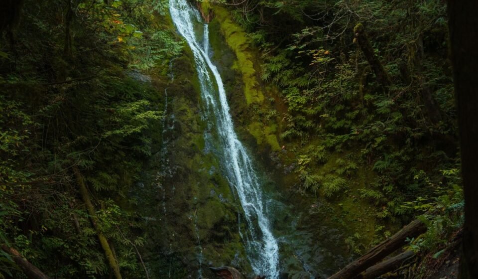

Hurricane Ridge on a clear July morning is postcard Washington: sharp peaks, green meadows, a blue haze of distance. The Hoh Rain Forest on a fogged-in October morning is something else entirely, a place where the moss-hung maples lose their edges and stand like something half-remembered. Most people plan around the fog. This loop plans around it, and treats Olympic National Park’s famous wet weather as the whole point rather than the tax you pay to be there.
The route below runs about 250 miles as a loop, starting and ending in Port Angeles, Washington, and is comfortably done in 4 days, though 5 lets you actually hike instead of just driving between trailheads. It traces US-101 counterclockwise around the peninsula, dipping down the spur roads that lead into the park itself, since Olympic National Park has no through-road of its own. You need a vehicle for this trip. There is no other practical way to link these stops.
One stop on this loop, Ruby Beach, gets skipped entirely below, and that’s deliberate: it’s the most photographed beach on the peninsula, which means by 9am in summer the pullout is full, the sea stack view is packed with tripods, and you’re getting a parking lot experience, not a fog experience. Rialto and Kalaloch give you the same sea stacks and driftwood with a fraction of the crowd. If you’ve already done Ruby Beach on a past trip, nothing here changes; if you haven’t, don’t feel like you’re missing the “real” coast by leaving it off.
Stop 1: Hurricane Ridge, Washington
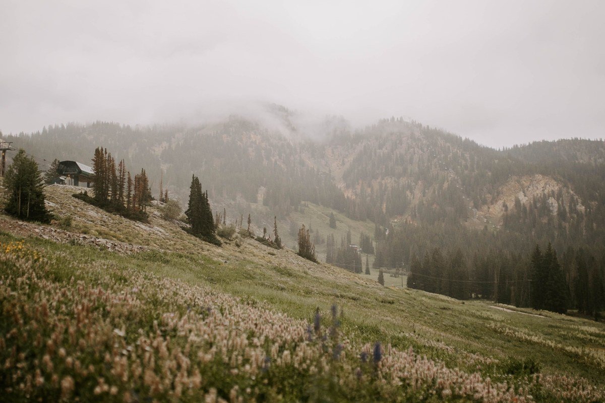
Fog on Hurricane Ridge behaves differently than fog in the rainforest. It pools in the valleys below you and burns off fast once the sun clears the ridgeline, so timing matters more here than anywhere else on the loop. The drive up from the Port Angeles visitor center is about 19 miles on Hurricane Ridge Road, gaining nearly a mile of elevation in under half an hour. In winter, the road only opens Friday through Sunday, weather permitting, and chains are required in every vehicle regardless of what your tires look like. The entrance fee is $30 per vehicle, good for seven days. Get there by 8am; by 10am on a summer weekend the lot is full and rangers are turning cars around at the bottom.
Next leg: 30 minutes back down Hurricane Ridge Road to Port Angeles, then west on US-101 toward Lake Crescent, about 20 minutes total driving.
Stop 2: Lake Crescent, Washington
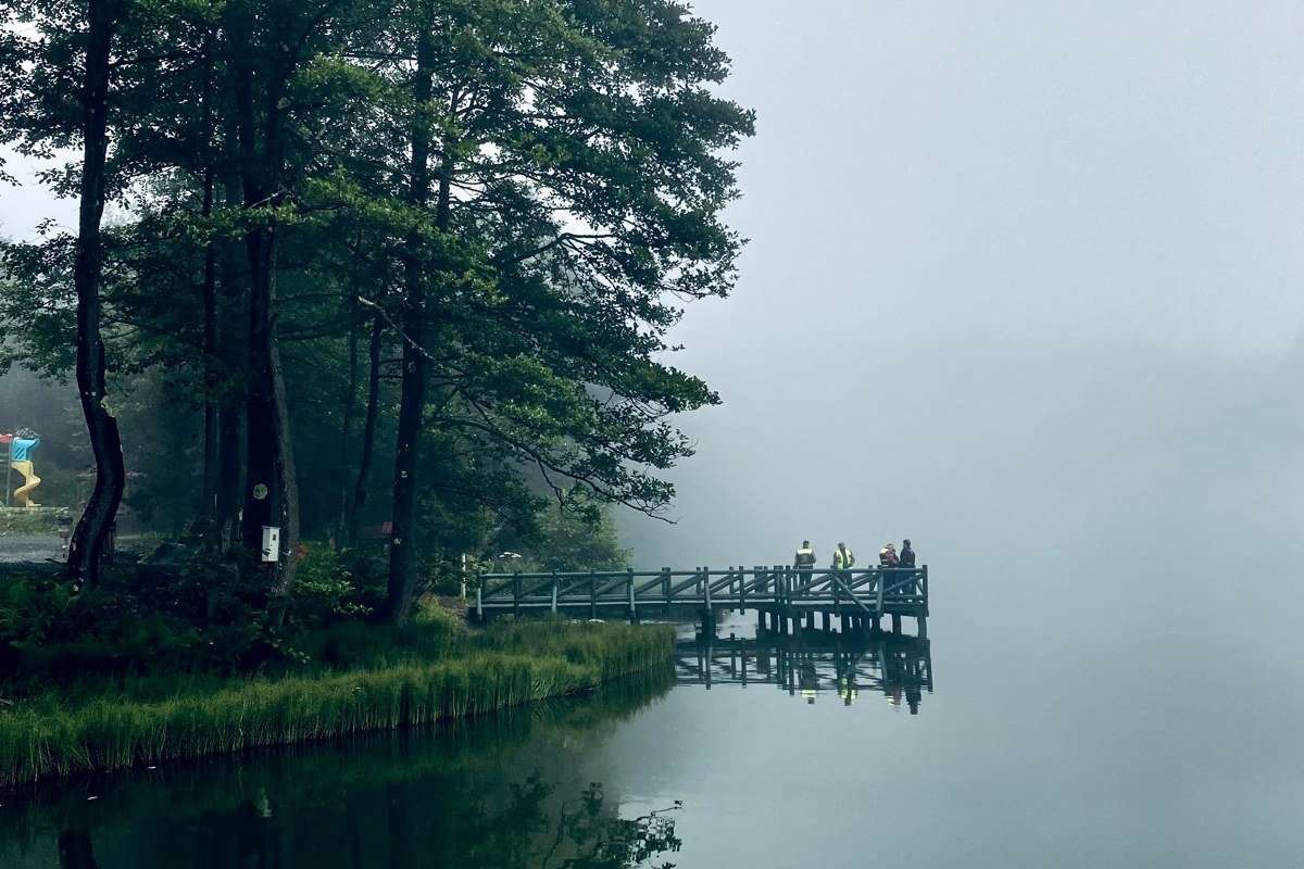
Lake Crescent sits right against US-101, so you can see it without a permit, a fee check, or even leaving the highway if you’re short on time. The lake is glacially carved, over 600 feet deep in places, and cold enough year-round that on cool mornings a thin mist sits flat on the water while the ridges above stay socked in. Stop at Storm King Ranger Station and walk the short trail to Marymere Falls: an easy 1.8-mile round trip through old-growth forest that stays shaded and damp even in August. Skip the Lodge at Lake Crescent’s dining room if you’re in a hurry; the espresso stand at the ranger station is faster and just as good for a trailhead coffee.
Next leg: 40 minutes west on US-101 to the Sol Duc turnoff, then 12 miles up Sol Duc Road.
Stop 3: Sol Duc Valley, Washington
Sol Duc gets overshadowed by Hoh and Quinault. That’s exactly why it’s worth the detour: the valley traps cold air overnight, so fog lingers here later into the morning than almost anywhere else on this route. Sol Duc Falls is an easy mile-long walk from the trailhead, and in low fog the three-way falls look like they’re pouring out of nothing. Sol Duc Hot Springs Resort runs from late March through late October, with soaking pools open roughly 9am to 8pm; a day pass for non-guests runs about $20 for adults, cheaper for kids, useful if the damp has gotten into your bones. Note that the resort closes for the season well before winter, so this stop only works on the shoulder-season or summer version of this trip.
Next leg: Back down to US-101, continue west and south about 1 hour toward Forks, then to the Upper Hoh Road turnoff.
Stop 4: Hoh Rain Forest, Washington
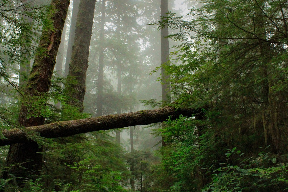
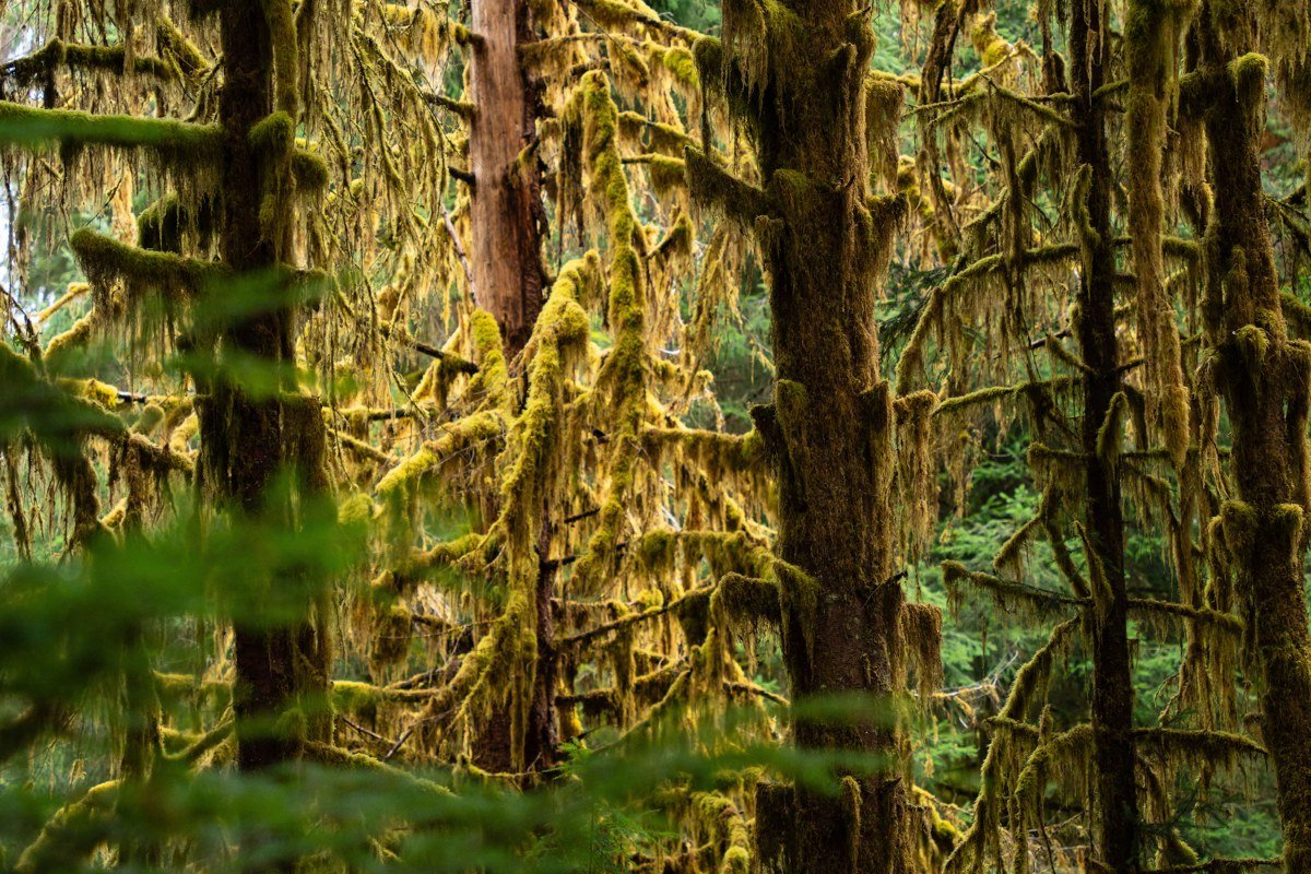
This is the postcard, the reason most people say the words “Olympic National Park” in the first place, and the wettest, densest stop on this whole loop. The Hoh sits 18 miles down Upper Hoh Road off US-101 between Forks and the coast. Hanging club moss turns silver-grey and dripping in fog, and if you walk the Hall of Mosses Trail at first light, before the tour buses arrive, the maples along it genuinely fade into white a few dozen feet up the trunk. Parking fills by 9am in summer; arrive earlier or plan on waiting for a spot. On the way in or out, stop at the Forks Coffee Shop on Forks Avenue for pie and a real diner breakfast; it’s the kind of unfussy small-town stop that makes a good bookend to a morning in the rainforest.
Next leg: Back to US-101, roughly 1 hour south to the coastal turnoff for La Push.
Stop 5: Rialto Beach, Washington

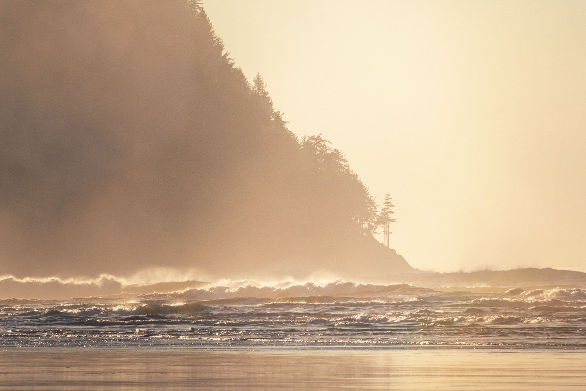
Rialto is reached via WA-110, about 10 miles off US-101 near Forks, and it’s the coastal answer to the rainforest fog you just left. Sea stacks stand offshore in a broken line, and on a foggy morning the farthest ones vanish entirely, leaving only the nearest rocks floating in white. Walk north toward Hole-in-the-Wall, about 1.5 miles each way, and check a tide table before you go: parts of this route are impassable at high tide, and people do get cut off here. This stretch, plus nearby La Push, is coastal Olympic National Park, geographically separate from the mountain core you were just driving through.
Next leg: South on US-101 about 1.5 hours toward Kalaloch.
Stop 6: Kalaloch, Washington

Kalaloch is the one stop where US-101 runs directly along the coast, so you see it just by driving through, no booth, no fee. The beach is littered with bleached driftwood logs, some the size of small cars, and fog off the Pacific tends to hang low over the water while the beach itself stays clear, an inversion that makes for strange, layered photos. Tree of Life, a Sitka spruce whose roots have been exposed by erosion so it appears suspended over open air, is a short walk from the Kalaloch Lodge area. If you want to stay over, ask for one of the bluff-top cabins at Kalaloch Lodge (the Bluff cabins, not the ones set back near the lodge itself); you wake up looking straight down at the driftwood line and the fog bank beyond it.
Next leg: About 45 minutes south on US-101, then east on the road toward Lake Quinault.
Stop 7: Lake Quinault, Washington
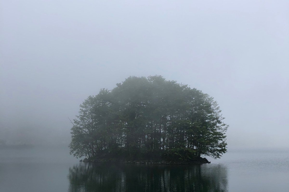
Quinault is the quietest of the rainforest valleys on this loop, and the one most visitors skip in favor of the Hoh. That’s a mistake if fog is what you came for: the lake throws mist upward in the early morning that mixes with rainforest fog rolling down off the surrounding ridges, and the loop road around the lake passes several unmarked pullouts where you can shoot the reflection without another car in the frame. Foot traffic here is a fraction of the Hoh’s, so the moss on the big-leaf maples along the Maple Glade Trail looks less trampled and more genuinely wild.
Next leg: Roughly 2 hours northeast on US-101 back around Hood Canal toward Port Angeles, closing the loop.
Stop 8: Hood Canal, Washington
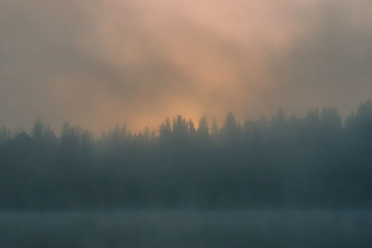
Save this for the drive back, ideally at dawn. Hood Canal is a long fjord-like arm of Puget Sound running along the eastern edge of the peninsula, and US-101 hugs its shoreline for miles. Fog sits on the water here in sheets, with the Olympic Mountains occasionally breaking through behind it, a different mood entirely from the enclosed, green fog of the rainforest interior. There are a handful of pullouts and small state parks along this stretch. You don’t need a plan, just slow down and stop when the light does something interesting.
When to actually plan around the fog
Here’s the honest answer to the “best time to visit” question that dominates the search results: July and August are the driest, sunniest months, and if you want guaranteed access to Hurricane Ridge Road and dry trails, that’s your window. But if you specifically want the moody, ghost-tree fog this post is about, aim for late September through November, or March into April. Those shoulder months bring the marine layer and valley fog without winter road closures on the lower-elevation stops. Winter itself is beautiful but genuinely miserable for driving; Hurricane Ridge Road closes on weekdays, chains are mandatory, and several coastal pullouts flood. Sequim, just east of Port Angeles, sits in the Olympics’ rain shadow and stays dry most of the year, which makes it a good base if you want a comfortable bed away from the wet.
Practical notes for the loop: the entrance fee is $30 per vehicle, good for seven consecutive days, so you won’t pay twice crossing back through the park’s different entrances on this route. Driving straight through on US-101 without stopping doesn’t require paying at all, and fee booths at Kalaloch and Lake Crescent often aren’t staffed to check. If you’re coming from Seattle, Washington, budget about 3 hours to Port Angeles including the ferry or the drive around via Tacoma. Campgrounds at Sol Duc, Hoh, and Kalaloch fill fast in summer; reservations open six months ahead on recreation.gov, and popular sites go within days of opening, so don’t assume you’ll roll up and find one in July.
If you only have 3 days
Cut Sol Duc and Lake Quinault. Do Hurricane Ridge and Lake Crescent on day one, Hoh Rain Forest and Rialto Beach on day two, Kalaloch and the Hood Canal drive back on day three. You lose the two quietest, least-crowded fog spots, but you keep the four that define the park’s reputation, and you still return to Port Angeles with the loop closed.
Doing it in reverse
Running this counterclockwise, starting with Hood Canal and Lake Quinault, works just as well and puts you at the Hoh Rain Forest in the afternoon instead of early morning. That’s a real trade-off: afternoon light in the Hoh is flatter and the parking lot is far more crowded, so only run the reverse order if your schedule genuinely demands it, or if you’d rather hit Hurricane Ridge at golden hour on your last evening instead of your first morning.