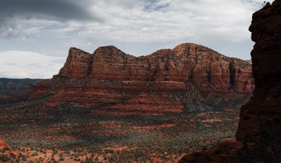

Airport Mesa at 7am and Airport Mesa at 11am are two different places. At sunrise you’ll find a dozen cars, some tripods, maybe a guy with a drone he’s not supposed to fly. By late morning the same pullout has a line of pink Jeeps idling, a parking lot that’s full twice over, and a viewpoint you’re sharing with eighty people. Same rocks, same road, completely different trip. The gap between those two versions of Sedona, Arizona is basically the whole point of this list.
Airport Mesa, Arizona
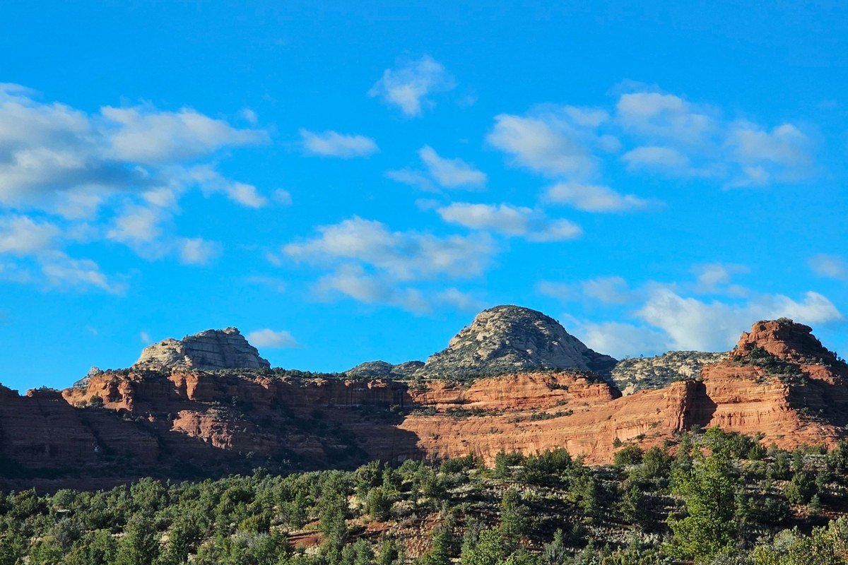
This is the classic, the one on every postcard rack in town, and it earns it. The overlook sits just below the airport itself, so you get a wide-open western view back over Sedona toward Cathedral Rock while the sun comes up behind you and lights the formations in front. By 8:45am, the first Pink Jeep convoy of the day is usually pulling into the dirt lot, and the quiet version of this spot is over.
Worth knowing: The paved lot at the overlook holds about 20 cars and the larger dirt lot downhill maybe 40 more; both fill by sunrise on weekends, so aim to be parked 30 minutes before. A Red Rock Pass ($5 for a day pass, sold at the visitor center on Forest Rd or from machines at the lot) covers parking here.
Skip if: You want solitude above all else. This is the most photographed pullout in Sedona and it never fully empties out.
Cathedral Rock, Arizona
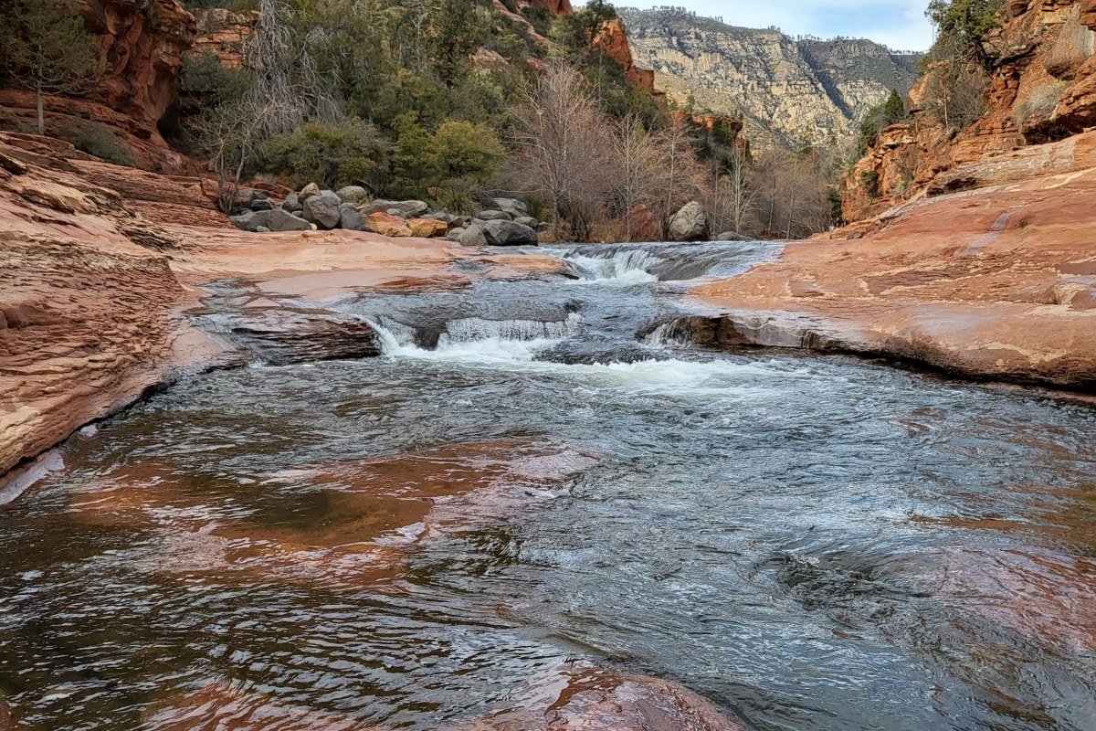
The postcard shot here is the reflection pool off the Crescent Moon picnic area, where Oak Creek runs calm enough to mirror the spires on a still morning. If you’d rather earn the view, the actual trailhead climbs 0.7 miles of steep slickrock to a saddle between the towers. I’d take that vantage over the reflection shot; the valley opens up behind you in a way a photo of still water doesn’t capture.
Worth knowing: Crescent Moon Ranch (the reflection spot) charges a $12 vehicle entrance fee and opens at 7am; the Cathedral Rock trailhead lot on Back O’ Beyond Road holds around 20 cars and is routinely full by 9am even in shoulder season, well before most tour vans arrive at Bell Rock down the road.
Skip if: You have knee or ankle issues. The trail is short but it’s a scramble over sloped rock, not a stroll.
Bell Rock, Arizona
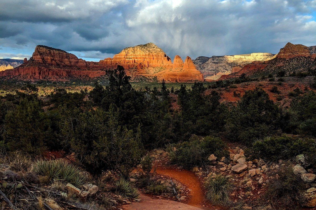
Bell Rock sits right along AZ 179 south of town, which means it’s easy to underrate. Walk even the first quarter mile of the trail at sunrise and the low light rakes across its terraced sides in a way the roadside view never shows. It’s also one of the gentlest trails on this list, flat and obvious, if you just want an easy walk with a payoff.
Worth knowing: The Bell Rock Vista pullout has a paved lot with roughly 60 spaces and a pass machine. It’s also the staging lot tour operators use, and by 9:15am, when the first Jeep convoy of the day hits it, the mood shifts fast from hikers to idling engines.
Skip if: You’re chasing an empty frame for photos. Bell Rock is visible from the highway, which makes it popular with people who aren’t hiking anywhere.
Chapel of the Holy Cross, Arizona
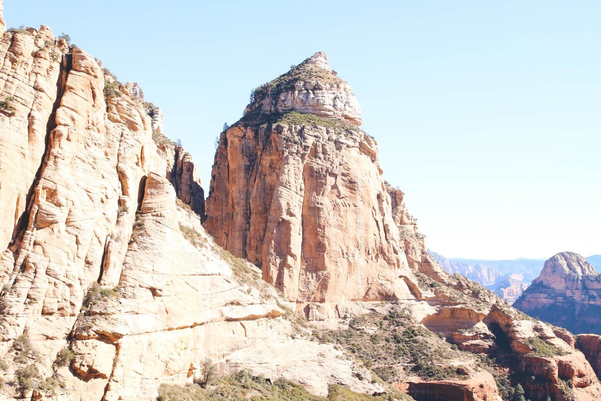
The chapel is built directly into the red rock on Chapel Rd, and its outdoor plaza faces east, catching first light on the buttes across the valley well before the building itself opens. The chapel’s posted hours run 9am to 5pm daily, with no midday closures, so the plaza and parking area are your only access before then. There’s no Mass or public interior access before opening, and photography inside is discouraged during active prayer times, so treat this as an exterior, pre-opening stop rather than a full visit.
Worth knowing: The lot holds under 30 cars and is shared with staff and early chapel volunteers; by 9:30am it’s full of visitors arriving for the building itself, not the light.
Skip if: You want an empty plaza after 9am. Once the doors open, this stops being a sunrise overlook and becomes a working chapel with foot traffic on the ramp.
Merry-Go-Round Rock, Arizona
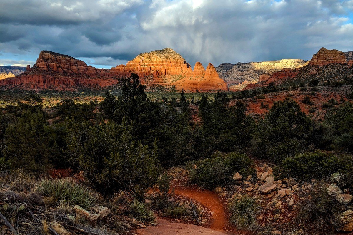
This is the one most first-time visitors never find, and in my experience it’s the emptiest sunrise view on this list for exactly that reason. It’s a short, flat walk (about 1.5 miles round trip from the Little Horse trailhead) out to a broad slickrock plateau with a 360-degree view: Bell Rock, Courthouse Butte, Cathedral Rock, and the Village of Oak Creek all visible at once, with almost nobody else out there before 8am.
Worth knowing: Park at the Little Horse trailhead or the Bell Rock Pathway and walk in via the connector trail. There’s no dedicated lot and no signage pointing tourists here, which is most of the appeal; by the time the 9:15am Jeep convoy is loading up at Bell Rock Vista half a mile away, this plateau is usually still down to a handful of people.
Skip if: You need a marked, obvious trail. This one takes a little route-finding and a downloaded map, since cell service on the trail is unreliable.
Schnebly Hill Vista, Arizona

Schnebly Hill Road climbs out of town toward Munds Park, and the vista point near the start of the dirt section, about 1 mile in, gives you an elevated look down over the whole red rock basin, town included. It’s a genuinely different angle than the valley-floor overlooks: you’re looking down into Sedona instead of up at a single formation.
Worth knowing: The paved portion is fine for any car, but the vista point sits right at the edge of where the road turns to rough dirt; high-clearance is recommended past that point, and the road sometimes closes after heavy rain or snow. Jeep tour convoys typically start using this road around 10am, so an early arrival also means beating the dust and traffic on the dirt section itself.
Skip if: You’re in a low-clearance sedan and nervous about washboard dirt, or visiting in winter when the upper road can ice over.
Doe Mountain, Arizona
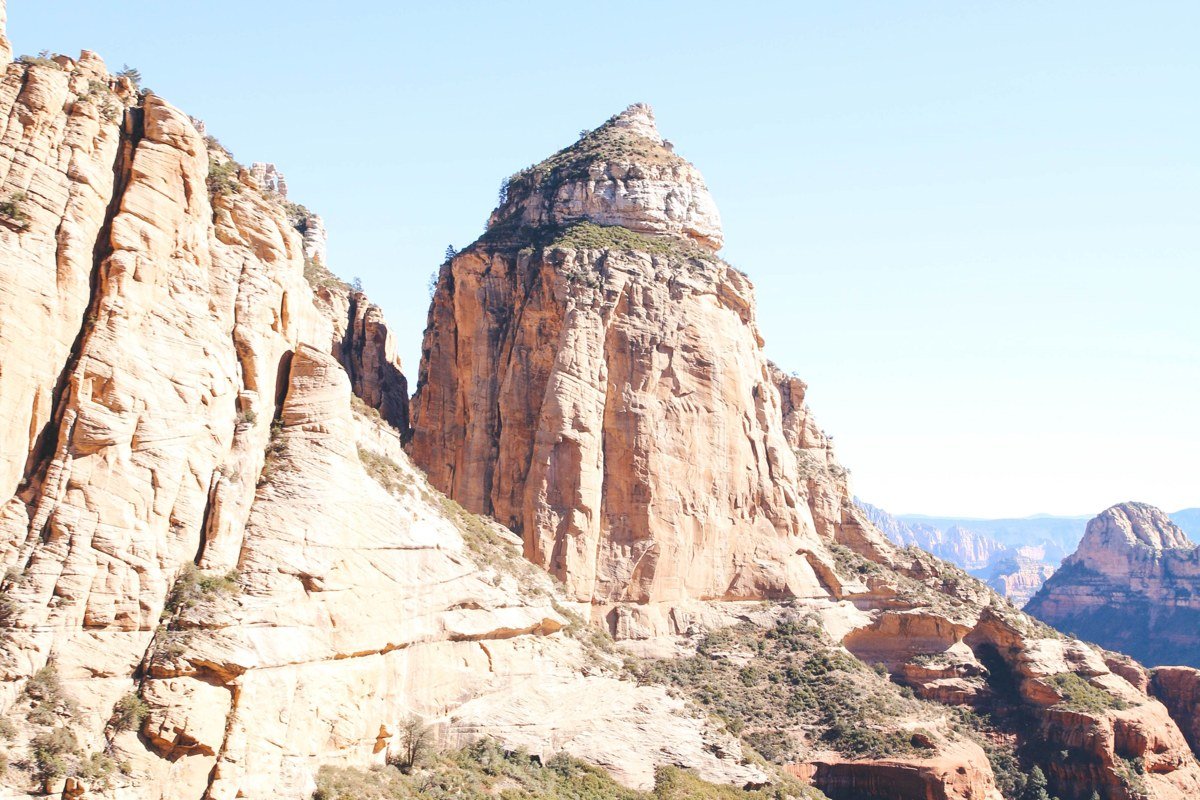
Doe Mountain is a butte with a flat top you can actually reach, via a short 0.7-mile switchbacking trail that gains most of its 400 feet of elevation quickly, then opens onto a plateau with room to walk around and find your own angle. It looks straight across at Bear Mountain and down into Boynton Canyon, and because the approach road filters out casual visitors, sunrise up here is close to empty, at least until the guided Jeep tours that run this stretch of Dry Creek Road start passing around 9:30am.
Worth knowing: The trailhead is on unpaved Forest Road 152C off Dry Creek Road; regular cars manage it in dry conditions but it’s rutted, and there’s no cell service once you’re past the pavement.
Skip if: You’re short on time. The drive out here alone eats 20 to 30 minutes each way from central Sedona.
Fay Canyon Overlook, Arizona
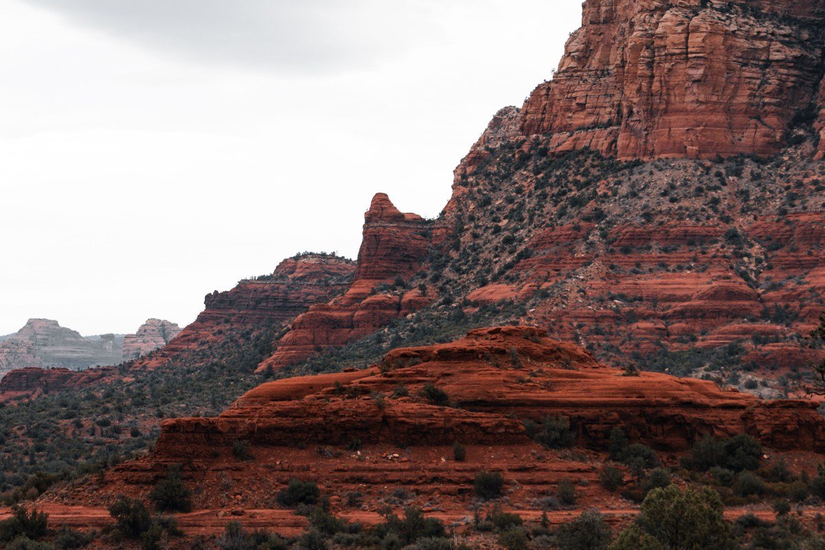
Fay Canyon is a short spur trail off the main canyon hike, and it’s the one people skip because the main trail is flat and easy while the overlook spur is a steeper scramble to a ledge about 0.2 miles up. That ledge looks straight down the length of the canyon with the walls catching light from both sides at sunrise, which is a genuinely different feeling than any of the open-valley views on this list.
Worth knowing: The main Fay Canyon trailhead lot on Dry Creek Road holds about 15 cars and is shared with Doe Mountain traffic; arrive by 7am or plan to park along the road shoulder, since by mid-morning both trailheads are competing for the same handful of spaces.
Skip if: You just want the easy canyon walk. The overlook spur is unmarked in places and involves real scrambling near a drop.
Beyond the overlooks themselves, timing your visit matters more in Sedona than in most places on this list. The best months to go are generally spring (March through May) and fall (September through November), when daytime highs sit in the comfortable range and the light is clean without summer haze. Summer brings heat into the upper 90s at the valley floor and the monsoon season’s afternoon thunderstorms, which are dramatic but can shut down exposed trails and dirt roads without warning. Winter is quieter and often gorgeous, with occasional dustings of snow on the red rock that most photographers never plan for and get lucky into. Sedona sits at roughly 4,500 feet elevation, high enough that mornings are cool even in July.
Sedona runs on Arizona time, which is Mountain Standard Time year-round; Arizona does not observe daylight saving, so for half the year the state is on the same clock as Pacific time and the other half it matches Mountain time. Worth checking before you set an alarm for a specific sunrise minute.
Where to check the actual sunrise time
Don’t rely on a general “sunrise is around 6am” assumption. Exact sunrise time in Sedona shifts by more than an hour across the year, from roughly 5:15am in June to past 7:30am in late December, and it’s what determines which lot fills first. Check a source that gives location-specific times for Sedona, Arizona directly (a weather app’s daily almanac page, or a sunrise/sunset lookup site where you enter the zip code 86336) the night before, and plan to be parked 30 to 45 minutes before that listed time, not before some remembered rule of thumb.
Getting here: Sedona sits along AZ 89A, about 120 miles north of Phoenix, Arizona and roughly a two-hour drive depending on I-17 traffic. From Phoenix, most people take I-17 north to the Camp Verde area, then either AZ 260 through Cottonwood, Arizona and up 89A, or the AZ 179 route through the Village of Oak Creek, which is a designated scenic byway and arguably the better drive of the two. From Flagstaff, Arizona it’s a shorter run south on 89A, about 30 miles through Oak Creek Canyon. There’s no real public transit between overlooks; you need a car or a bike, and most trailheads require the Red Rock Pass ($5 per day, $15 for a week), sold at the visitor center on Forest Rd and at machines around town.
Mistakes people make
- Treating “sunrise” as a fixed clock time instead of checking the actual sunrise time for the date, which shifts by more than an hour across the year and changes which lot fills up first.
- Assuming every overlook has cell service for maps or rideshare. Several of these, especially Doe Mountain and the Schnebly Hill dirt section, have none.
- Skipping the Red Rock Pass because a trailhead lot looks informal. Rangers do check, and the fine costs more than the $5 pass would have.