
Most people drive Highway 1 through Big Sur, California with their eyes locked on the road and their phone propped up for the Bixby Bridge photo, then go home believing the whole coastline is just cliffs and turnouts. It isn’t. Pfeiffer Beach, at the bottom of this list, beats everywhere else here because it’s the one place that actually gets you down to sand level with the surf and rock formations Big Sur is famous for, not just a view of them from 200 feet up. The other eight are the coves, pocket beaches, and river mouths that cars whiz past because nothing on the highway tells you to stop.
Drive-Time Comparison
All times are approximate driving distance from Big Sur Village (at Pfeiffer Big Sur State Park) heading south, except Garrapata and Bixby Bridge Cove, which sit north.
| Stop | Distance from Big Sur Village | Drive time |
|---|---|---|
| Garrapata State Park | 18 miles north | 30 minutes |
| Bixby Bridge Cove | 13 miles north | 20 minutes |
| Sycamore Canyon / Pfeiffer Beach Access Road | 1 mile south | 5 minutes |
| Pfeiffer Beach | 1 mile south (via access road) | 5 minutes |
| Andrew Molera State Park Beach | 4 miles north | 10 minutes |
| Willow Creek Beach | 12 miles south | 20 minutes |
| Limekiln State Park Beach | 24 miles south | 40 minutes |
| Sand Dollar Beach | 30 miles south | 50 minutes |
| Jade Cove | 32 miles south | 55 minutes |
9. Garrapata State Park, California
Garrapata sits about 18 miles north of Big Sur Village, and it’s the park most visitors drive straight through because it has no big sign, no visitor center, and parking that’s just a string of unmarked highway turnouts. The payoff is two miles of undeveloped beachfront and a short climb to a bluff with a clean, unobstructed Pacific view, plus a chance at spotting sea otters and harbor seals just offshore. The one thing worth doing is the Soberanes Point loop, which drops you from coastal scrub into a small redwood grove in under a mile. The downside is that the beach access trails are steep, unmarked, and occasionally closed after storm damage, so this isn’t the spot for anyone who wants a groomed path.
8. Bixby Bridge Cove, California
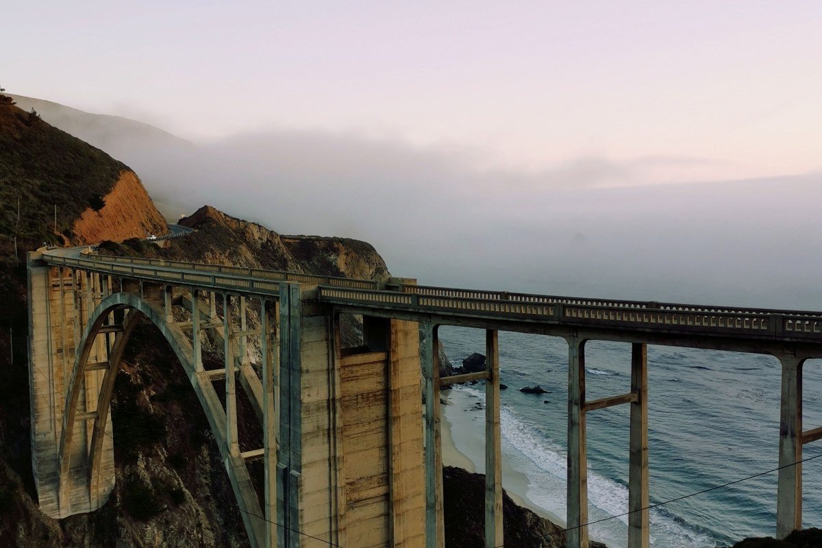
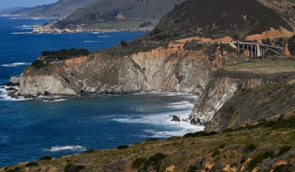
Everyone stops for the bridge photo. Almost nobody climbs down to the cove beneath it. Bixby Bridge itself, built in 1933, arches 320 feet across a canyon and sits 280 feet above the water, making it one of the tallest single-span bridges of its kind, but the small rocky cove at its base is where the postcard shot actually comes from. Getting down requires a rough, informal scramble on the north side, not an official trail, so it’s really only for someone steady on their feet and not traveling with small kids. The official vista point above gets jammed with tour vans by mid-morning; I pulled in at 6:40am on a Tuesday in April and had the whole cove to myself for almost an hour before the first van showed up.
7. Jade Cove, California
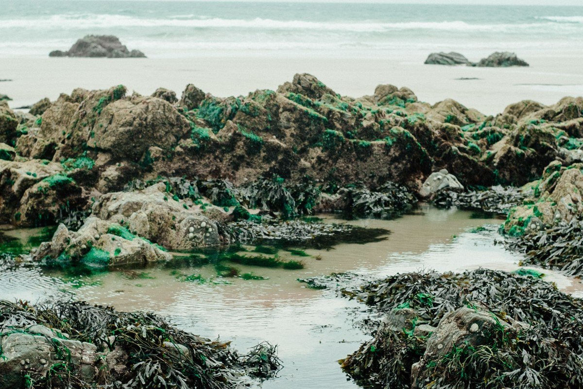
Jade Cove, near Willow Creek south of Lucia, is named for actual jade that washes up and gets found among the rocks, and rockhounds have been working this stretch for decades. The cove itself is small and rugged, reached by a steep, loose trail down a bluff, not a beach in the sand-and-towel sense. The activity here is searching the tide line and shallow water for jade fragments, which locals do with wetsuits and a mask on calm days. I went down without checking a tide table first and got stuck on a shrinking patch of rock for twenty minutes waiting for a wave set to pass. Check tide tables before you commit to the climb down.
6. Sand Dollar Beach, California
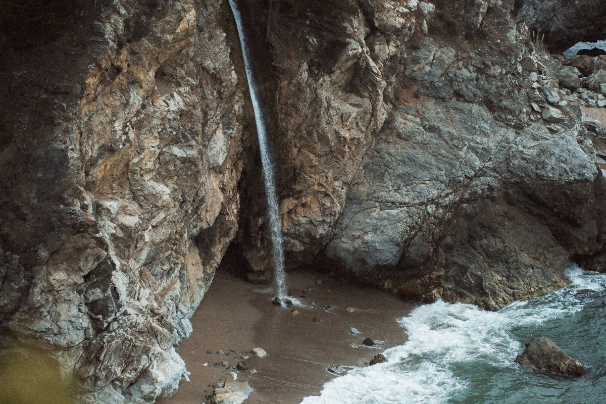
South of Lucia, Sand Dollar Beach is the largest sandy beach in Big Sur, and that alone makes it worth the stop most drivers skip. It’s day-use only, no camping on the beach itself, and the fee station at the parking lot charges $10 per vehicle, cash or card, gate open roughly 8:30am to 8:30pm depending on season (it closes earlier in winter, so don’t plan a sunset trip in December without checking). A short walk from the paved lot drops you onto a wide, driftwood-strewn cove framed by cliffs on both ends. The thing to do here is walk the full length at low tide, when tide pools open up on the south end. Wind is the real downside: this stretch of coast catches afternoon gusts that can turn a beach day cold and sandblasted by 2pm, so mornings are the better window.
5. Willow Creek Beach, California
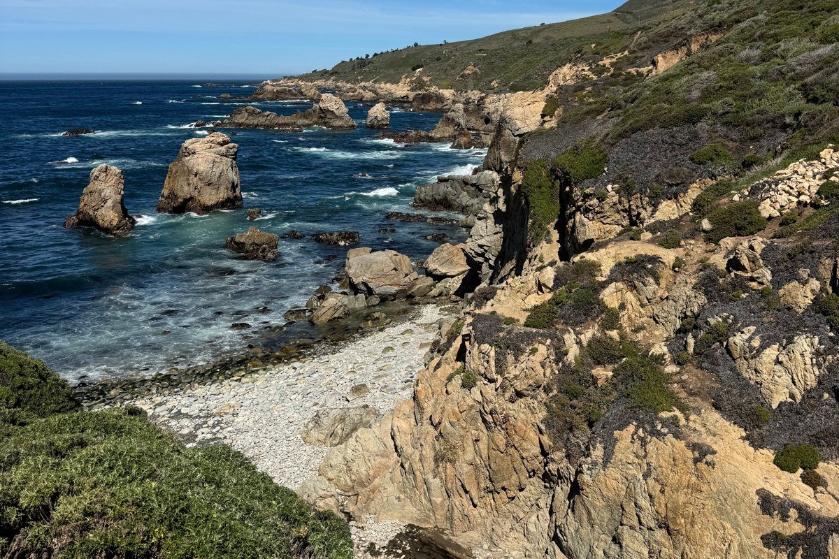
Willow Creek is easy to miss because it’s a state vista point parking lot, not a marked beach, about 12 miles south of Big Sur Village. The beach below is mostly smooth cobblestones rather than sand, with a small creek mouth cutting across it and decent views south toward the Piedras Blancas area. There’s no fee here and no facilities, which is part of the appeal after paying to park at Sand Dollar or Pfeiffer. Skip it if you’re short on time. It’s a genuinely pleasant break if you’re already stopped at the vista point above and want to stretch your legs down to the water.
4. Andrew Molera State Park Beach, California
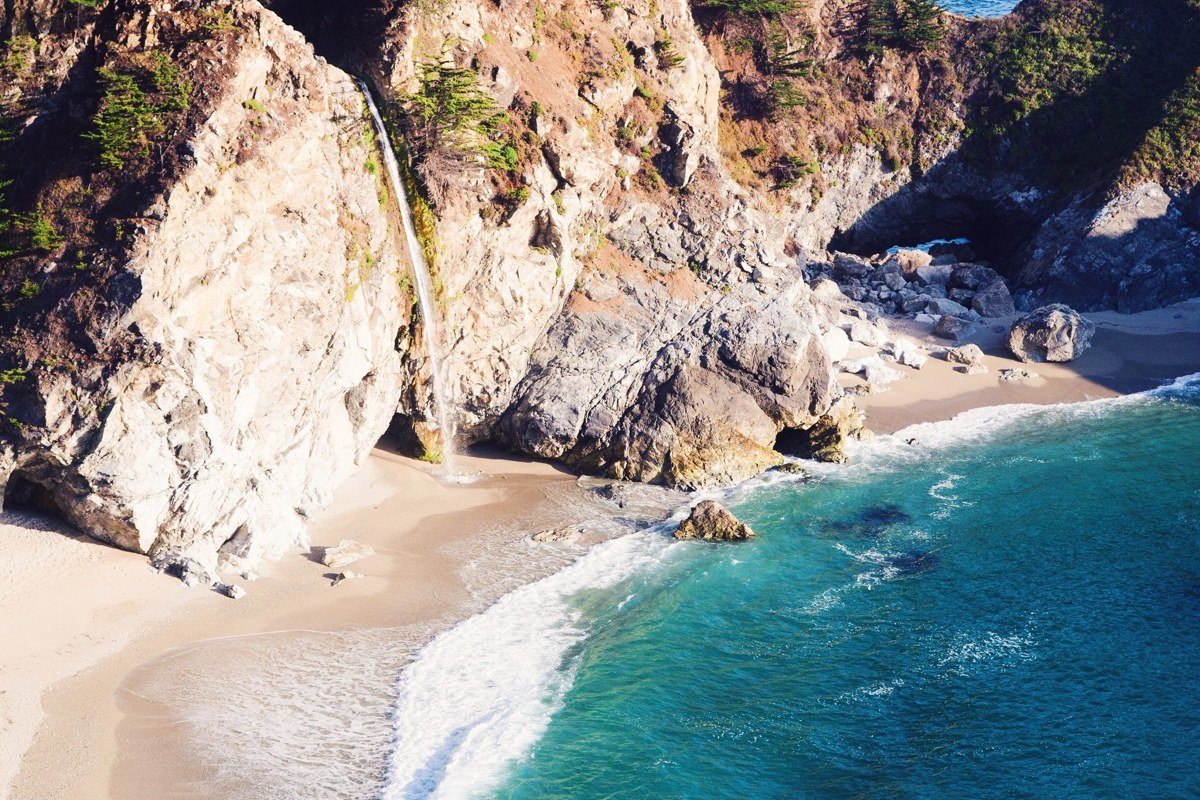
Andrew Molera sits just north of Big Sur Village and gets a fraction of the crowds Pfeiffer Big Sur State Park pulls, mostly because reaching the beach means a flat but real mile-plus walk from the parking lot rather than a short stroll. What you get is a long, open beach where the Big Sur River meets the ocean, backed by bluffs and open meadow instead of dense forest. The walk itself, along the river, is the actual highlight, not just the beach at the end of it. Parking is $12 per vehicle at the entrance kiosk, and the exposed, sandy lot fills fast on weekends by mid-morning.
3. Limekiln State Park Beach, California
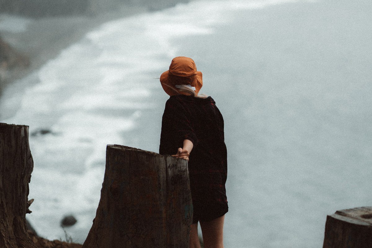
Limekiln, near the settlement of Lucia, packs redwood forest, a waterfall, and historic lime kilns into one of the smallest state parks in California, and the beach at its mouth is the part almost nobody mentions. Day-use runs $10 per vehicle, gates typically open 8:30am to sunset, and the park occasionally closes the trail to the kilns after heavy rain, so it’s worth a call ahead if you’re coming in winter. The beach itself is a tight, rocky little cove right where Limekiln Creek hits the ocean, with a highway bridge overhead. The thing worth doing is combining the short walk to the beach with the equally short hike to the 100-foot waterfall on the other side of the campground. A ranger there told me most people do the waterfall and skip the beach entirely, which is backwards since the beach walk takes about five extra minutes. Camping books out fast for summer, so this is more realistic as a day stop unless you’re planning months ahead.
2. Sycamore Canyon and Pfeiffer Beach Access Road, California
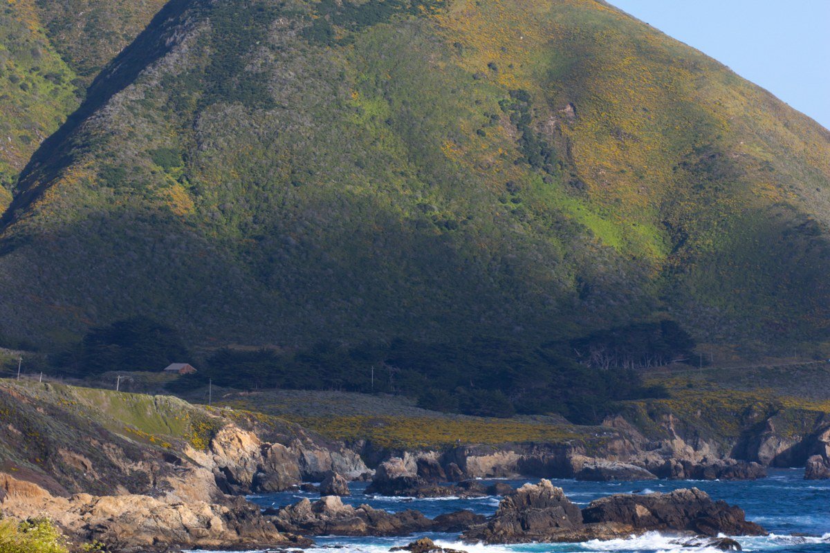
Sycamore Canyon Road is the unmarked turnoff that gets people to Pfeiffer Beach, but it deserves its own mention because so many drivers miss it entirely: there’s no highway sign, just a small road marker, and GPS often gets confused between this and the state park entrance up the road. It’s narrow, one lane in places, and can back up badly in summer when the small lot at the bottom fills and rangers start turning cars away. If you’re set on Pfeiffer Beach, the practical move is going right at opening or in late afternoon, and knowing that the road itself, tight switchbacks through dense forest, is part of the experience. The purple-tinted sand from manganese garnet deposits shows up best after rain, which is a detail most visitors never hear before they go.
1. Pfeiffer Beach, California
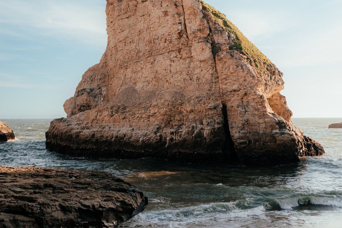
Pfeiffer Beach is what Big Sur, California is actually known for once you get past the highway overlooks: a dramatic keyhole rock formation just offshore, surf that funnels through it at sunset with a burst of orange light, and sand that carries a faint purple streak from mineral deposits washed down from the hills. The fee is $12 per vehicle, cash only at the self-pay station last I checked, and the gate is open from 9am to 8pm in summer, with earlier closing (around 5 or 6pm) in winter months, so a December sunset visit means arriving well before closing, not after. The one thing to do is time your visit for late afternoon in winter, when the sun lines up with the keyhole arch, a detail that separates people who plan the trip from people who stumble onto it. It’s not a swimming beach. Currents are strong and unpredictable, and rangers post warnings for good reason. The real challenge is access: the fee, the narrow unmarked road in, and a lot that closes once full make this the one Big Sur beach that rewards showing up early or being willing to circle back later in the day.
How I’d pick: A first-timer with one day should do Bixby Bridge Cove and Pfeiffer Beach and call it done. A family wants Andrew Molera or Sand Dollar Beach, both wide, both forgiving of kids wandering off the path. A couple planning a Big Sur elopement or a quiet morning should look at Limekiln or Jade Cove, small enough to have to yourselves on a weekday. Someone with exactly one weekend should skip the marathon of stops entirely and give Pfeiffer Beach the sunset, since the drive from Monterey or Carmel is under an hour and that one stop is worth the whole trip down.