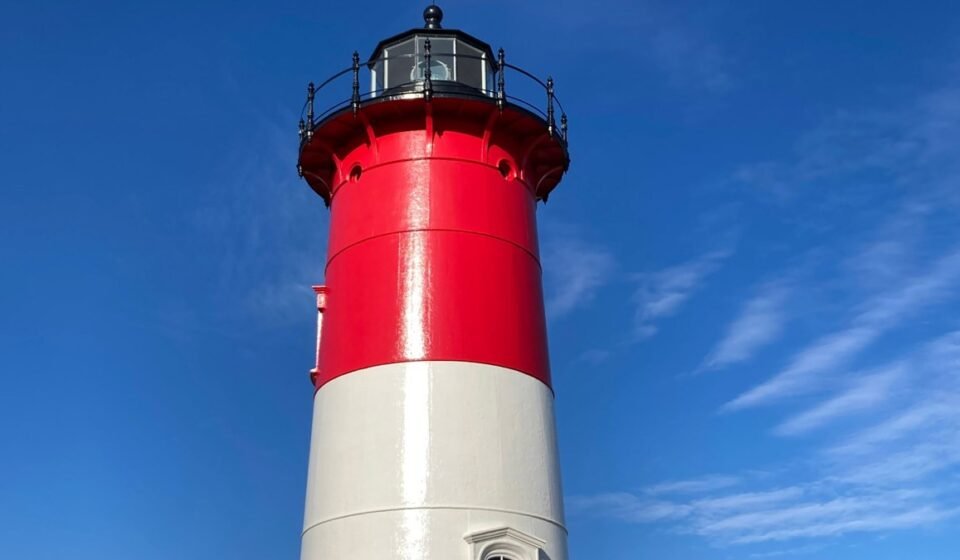

The real Cape Cod loop isn’t a driving route at all, it’s a car-optional chain of ferries and harbor towns. This version runs about 120 miles by road plus three separate boat crossings, takes five to seven days, and starts and ends in Hyannis, Massachusetts, looping out to Martha’s Vineyard and Nantucket before finishing at the very tip of the peninsula in Provincetown. You’ll still drive some of Cape Cod, but the spine of the trip is water, not the Sagamore Bridge.
(Ferry operators and towns adjust schedules by season and sometimes by year, so treat the times and prices below as a planning baseline, not a booking guarantee, and confirm directly with the ferry company before you go.)
Stop 1: Hyannis, Massachusetts
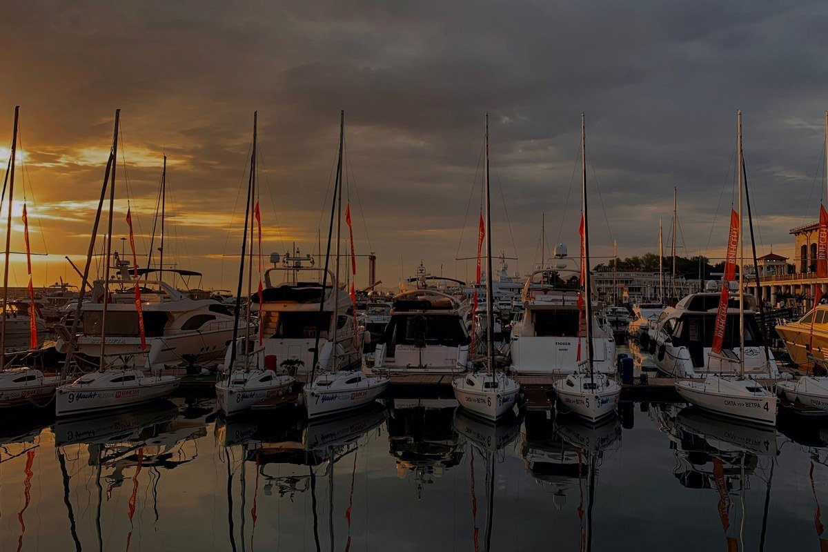
Hyannis is where nearly everyone starts, because it’s where the ferries leave from and because it has the Cape’s best public transit connections if you’re arriving without a car at all. Park here for the duration of your island days (long-term lots near the ferry terminal fill up in July and August, so book ahead) and walk to the docks. Main Street has the last real grocery-store and pharmacy density you’ll see before Nantucket, so stock up now. This is also a sane place to buy your first bag of Cape Cod chips, made at the Cape Cod Potato Chip Company factory on Breed’s Hill Road in Hyannis, if you want the souvenir that actually comes from here.
Getting to the boat: Steamship Authority runs both the traditional and high-speed ferries to Nantucket, with round-trip passenger fares generally landing in the $50 to $90 range depending on boat speed; Hy-Line Cruises runs a comparable high-speed service from the same harbor for a similar price band. Car reservations on the Steamship Authority boats cost extra and sell out in summer, so book those weeks ahead.
On to the island: Passenger or car ferry, about 1 hour direct to Nantucket, or closer to 2 hours 15 minutes if you take the slower boat.
Stop 2: Nantucket, Massachusetts

Nantucket surprises first-timers with how self-contained it feels, gray-shingled and cobblestoned, thirty miles out into the Atlantic with its own weather system. Bikes rule here more than cars; the paved paths out to Siasconset and Madaket are flat, scenic, and spare you the parking headache in town. This is also the one place in the region where the guidebook warning about deer ticks and Lyme disease deserves real attention, stick to trails and mown paths and skip the dune grass. Whale watching isn’t really a Nantucket activity (you want the mainland for that, more below), but seal-watching boat trips out to the sandbars are an easy half-day.
Backtracking to the mainland: Ferry back to Hyannis, then a short drive or connecting ferry over to Martha’s Vineyard; total transit time runs 3 to 4 hours depending on the connection.
Stop 3: Martha’s Vineyard, Massachusetts

Martha’s Vineyard has more inland farmland and fewer cobblestones than Nantucket, with the candy-colored gingerbread cottages of Oak Bluffs right at the ferry dock. Rent a car on-island or bring one over on the ferry if you want to see the clay cliffs at Aquinnah, at the far western tip, because there’s no realistic way to bike that distance and back in a day; parking at the Aquinnah Cliffs overlook runs around $15 per car in season, cash or card depending on the lot. Edgartown is the postcard town, all white picket fences and captains’ houses, and it’s worth timing your visit around the smaller in-season Chappy Ferry, which shuttles between Edgartown and Chappaquiddick roughly every few minutes during the day (service thins out and stops earlier at night, so check the posted schedule before you plan a late crossing). Give this stop two full days if you can; one day means picking either the cliffs or the harbor towns, not both.
Crossing back to reset: Ferry back to Woods Hole or Falmouth on the mainland, then drive roughly 1 hour on Route 6 or Route 28 to Chatham.
Stop 4: Chatham, Massachusetts
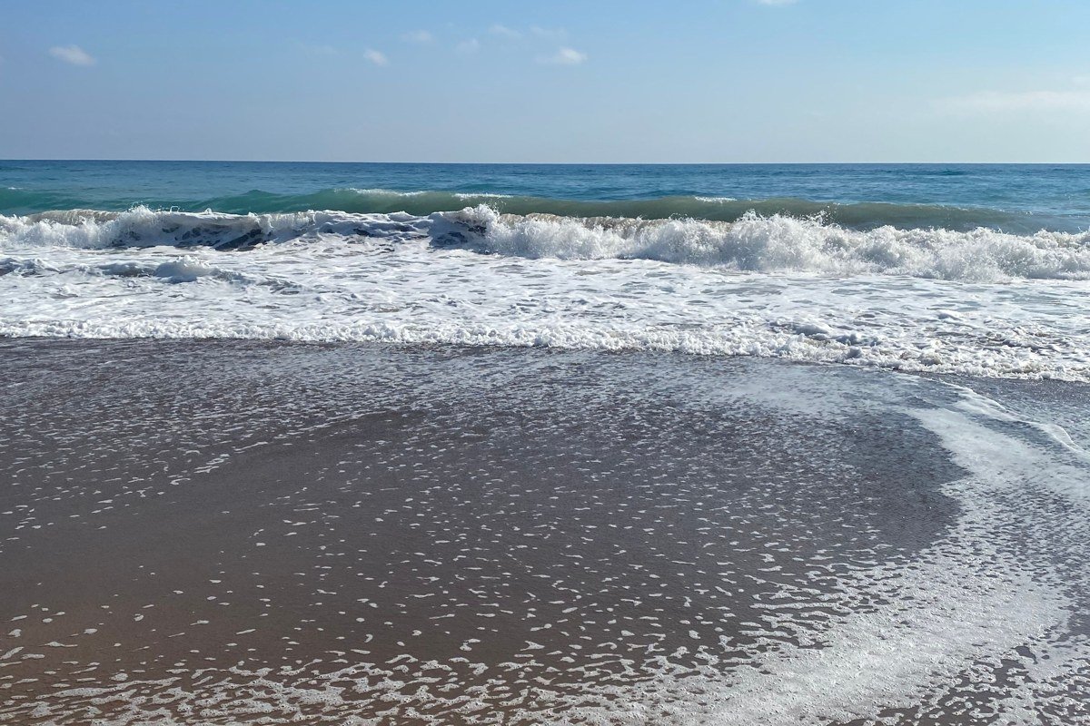
Chatham sits at the elbow of the Cape, where the calmer bay side gives way to open Atlantic, and the lighthouse here has one of the more dramatic views on the whole peninsula thanks to the shifting sandbars just offshore. This town also makes a strong case for late spring or fall as the best time to visit Cape Cod overall: the crowds thin out, restaurants stop requiring reservations weeks out, and the light in September is honestly better for photos than the hazier days of August. Fishing boats still unload right at the pier most afternoons, and it’s worth timing a visit to watch it.
Heading up the arm of the Cape: About 30 minutes north on Route 6 to Orleans, then onto the Outer Cape.
Stop 5: Orleans, Massachusetts
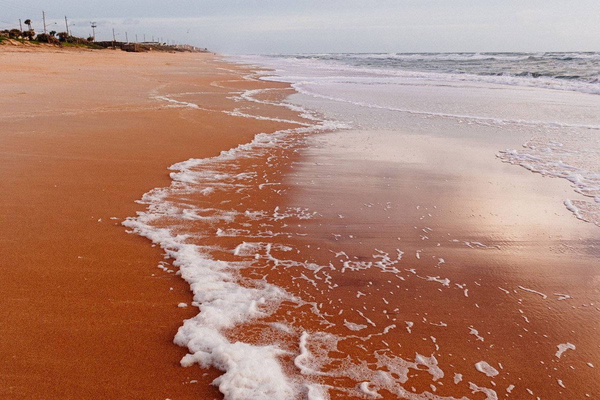
Orleans is the hinge between the calmer mid-Cape and the wilder Outer Cape, and Nauset Beach here is one of the six major swimming beaches inside the Cape Cod National Seashore, the 43,000-plus acre stretch of federally protected dunes, kettle ponds, and bike trails that the National Park Service manages all the way up to Provincetown. Seashore beach parking runs about $25 per car per day in summer (check the current National Park Service fee schedule, since it’s adjusted periodically), or you can buy a season pass if you’re staying more than a few days. This is also, unofficially, ground zero for East Coast whale watching logistics, since several of the boats that head out to Stellwagen Bank actually launch from harbors along this stretch and up into Provincetown. If whales are the point of your trip, aim for late spring through early fall; that’s when humpbacks and finbacks are reliably feeding in the Bank, and boats run daily instead of a few times a week.
Next stretch of Route 6: 20 to 25 minutes north to Eastham and Wellfleet.
Stop 6: Wellfleet, Massachusetts
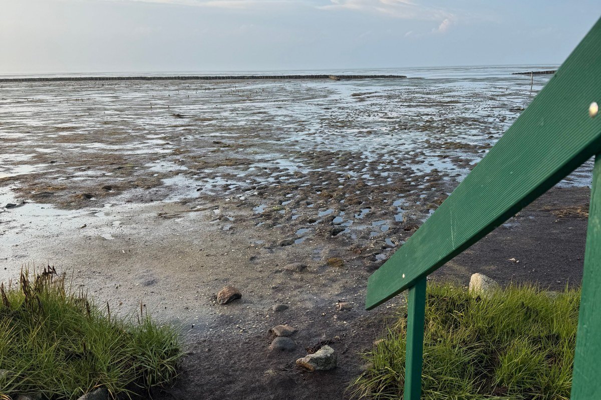
Wellfleet is the town people underrate in favor of Provincetown, and that’s a mistake if you like oysters, quiet kettle ponds, or actual elbow room on a beach in August. The National Seashore’s nature trails run thick through here (verify the current trail count and map at a Seashore visitor center, since routes are occasionally rerouted or added), and several of the best ones start from small, easy-to-miss trailheads off Route 6 rather than the busier visitor centers. Route 6 itself narrows to two lanes through this stretch, which is the guidebook detail that matters most in July: traffic backs up hard on summer weekends, so plan your drive for morning or evening, not midday.
Last push to the tip: About 25 minutes further up Route 6 to Provincetown.
Stop 7: Provincetown, Massachusetts
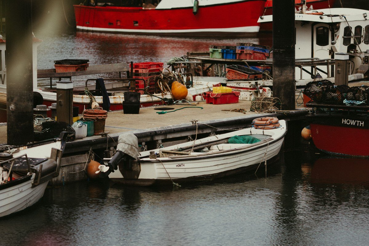
Provincetown is the other end of the public-transit-friendly pair with Hyannis, meaning if you’re doing this whole loop without a car for part of it, this is a reasonable place to base yourself and take day trips by bike or bus. It’s also a genuine ferry town in its own right: Boston Harbor Cruises (Hy-Line’s Boston-based counterpart) runs high-speed boats directly between here and Boston in a bit over an hour, with one-way fares typically in the $60 to $70 range in season, which is worth knowing if you’re combining this trip with a Cape Cod to Boston itinerary instead of starting from Hyannis. The whale-watching fleet here is the biggest on the Cape, and the gallery scene runs a full second season into September and October, with several spaces keeping summer hours well past Labor Day.
Closing the loop: Drive south on Route 6, about 1 hour 45 minutes back to Hyannis.
Stop 8: Sandwich, Massachusetts

Sandwich, the Cape’s oldest town, makes a fitting last stop because it sits right where Route 6A begins, the scenic bayside road thick with antique shops and artisan studios that most people rushing over the bridges never bother with. It’s also your reminder of where this whole peninsula connects to the mainland: the Cape Cod Canal Bikeway runs along both sides of the canal here, a flat, paved trail maintained by the Army Corps of Engineers, a good last-day leg-stretch before you cross back over. If you’re driving out toward Boston or Providence afterward, cross the bridge before 9 a.m. or after 7 p.m. in summer; midday traffic on the Sagamore and Bourne bridges is the single most reliable way to lose two hours of your trip.
If you only have 3 days
Cut Nantucket or the Vineyard, not both. Fly through Hyannis, take the ferry to whichever island you kept, spend a night, come back, and drive straight up Route 6 to Provincetown for your second night, with a stop in Chatham or Wellfleet for lunch. That’s the real shape of a long weekend on Cape Cod, Massachusetts, and it still gets you onto at least one island without a bridge in sight.
Doing it in reverse
Starting from Provincetown works just as well, and it front-loads the whale watching, which matters if you’re visiting in early summer before the Stellwagen Bank season is in full swing. Drive up from Boston via Route 3 and the Sagamore Bridge, work your way down through Wellfleet, Orleans, and Chatham, then catch the ferry to the Vineyard and Nantucket from Hyannis at the end, saving the islands as the payoff rather than the opener. Either direction, the trick is the same: let the ferry schedule set your pace, not the road.