
Patagonia sits at the raw end of the earth, where tectonic plates still argue, glaciers carve new valleys every decade, and the light does things to rock that have no business being that beautiful. These ten locations deliver the geological drama that defines the region, and most of them sit well outside the Torres del Paine stampede. If you are chasing dramatic landscapes in 2026, this is where the mood actually lives.
1. Cueva de las Manos, Santa Cruz Province, Argentina
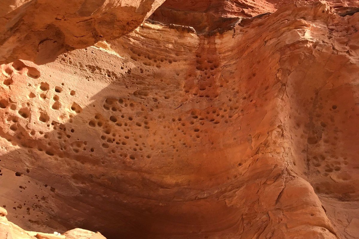
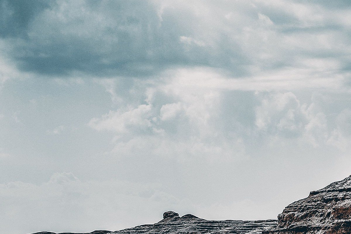
The canyon of the Rio Pinturas cuts through the Patagonian steppe like a wound, and inside one of its alcoves, roughly nine thousand years of human hands are stenciled onto basalt walls in iron-oxide red, white, and black. The scale of the cave mouth alone, framed against the bone-dry plateau above, is the kind of image that makes a Pinterest board stop scrolling. Photographically, the best angle is from the base of the canyon looking upward, catching both the painted ceiling and the cliff-edge sky. Visit at midday in late spring when the low-latitude sun angles directly into the cave and saturates the pigments without flash. Getting here requires a gravel road detour from Perito Moreno town, not Torres del Paine, so the crowds genuinely do not materialise.
Logistical obstacle: The gravel access road from Perito Moreno town to the canyon rim becomes impassable after heavy rain, and there is no reliable way to check conditions remotely. Build at least one buffer day into your schedule if you are visiting between November and January, when afternoon thunderstorms are common on the steppe.
2. Laguna del Carbon, Santa Cruz Province, Argentina
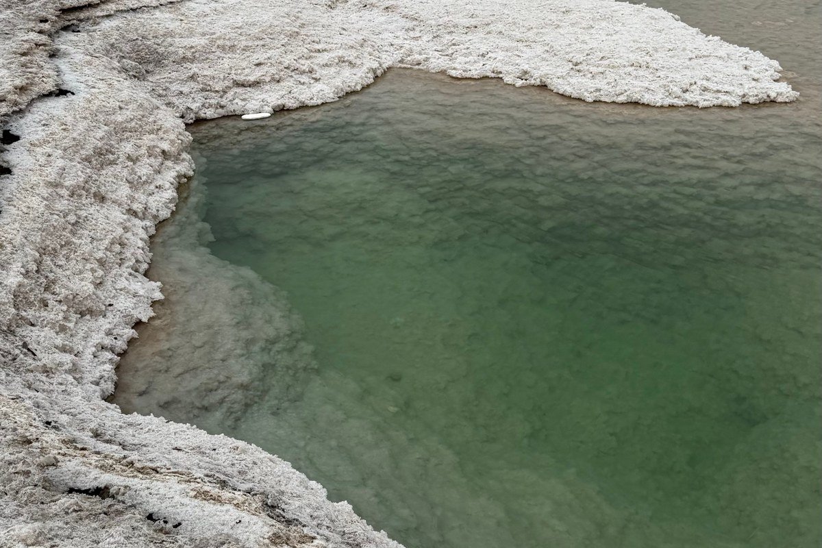
This hyper-saline lake sits below sea level. It is described as the lowest point on the South American continent, at approximately 105 meters below sea level, though readers should note that this figure appears in Argentine geographic sources and has not been independently verified by a single internationally peer-reviewed authority at time of writing. Treat it as the working claim it is rather than settled fact, and the place remains extraordinary regardless. The water shifts from pale jade to a milky turquoise depending on cloud cover, and white salt crusts ring the shore like cracked porcelain. It is one of the few places in Patagonia where the drama is horizontal rather than vertical, which makes it a compositional gift. Drive south from Puerto San Julian on Ruta 3 and then take the unmarked track west. The lake is unguarded, unfenced, and almost entirely unpromoted, so your only real competition for a photograph is the flamingos that wade the shallows from November onward.
Logistical obstacle: There are no signs marking the turnoff from Ruta 3, no facilities at the lake, and no cell coverage in the area. Download offline maps and carry more water than you think you need.
3. Perito Moreno Glacier, Los Glaciares National Park, Argentina
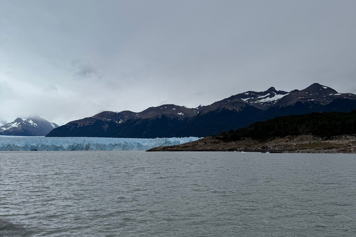
Yes, it appears on every Argentina itinerary. It earns its place because it is one of the only glaciers on earth that is currently advancing rather than retreating, but the detail that competing articles almost universally omit is what happens at the Brazo Rico arm of Lago Argentino. As the glacier advances across the lake, it periodically seals off the Brazo Rico from the main body of water, forming an ice dam. Pressure builds behind that dam over months or years until the ice ruptures in a cascading collapse, draining the arm and sending ice chunks the size of small buildings grinding through the breach. This rupture event happens every few years and is genuinely unpredictable. When it occurs, rangers close the walkways and visitors watch from a distance as a structure larger than many city blocks disintegrates. Even outside a rupture event, calving happens multiple times per day in summer: slabs sixty meters tall dropping into the lake with a sound like artillery. The less-used southern bank viewpoints give you the full wall in profile rather than the truncated close-up view most visitors settle for. Go at sunrise before the tour boats arrive.
Logistical obstacle: Access to the glacier walkways is controlled by the park and can be closed without notice after large calving events or high wind. Book your boat tour and entry slot in advance, but hold your schedule loosely around this one.
4. Volcán Lanin, Neuquen Province, Argentina
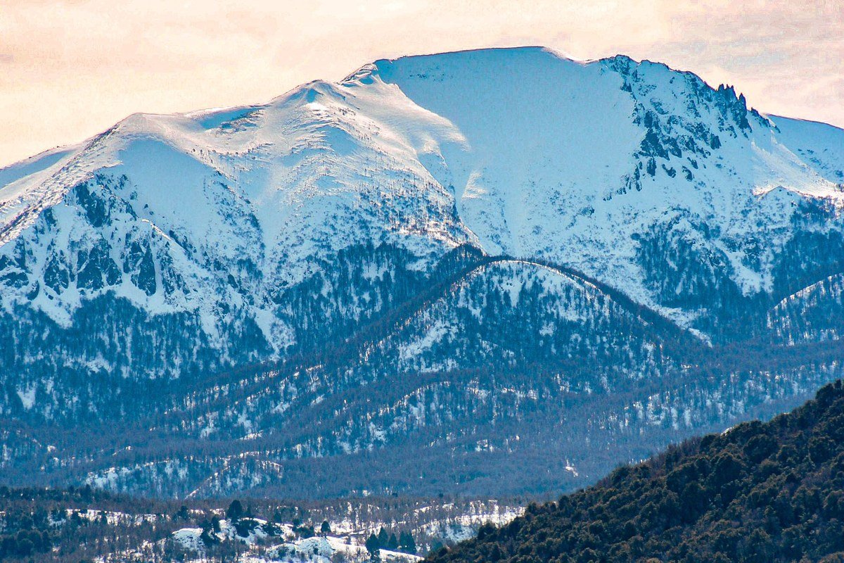
Lanin is almost offensively photogenic, a near-perfect stratovolcano cone that rises to just under 3,750 meters on the Argentine-Chilean border. From the shore of Lago Huechulafquen, the reflection shot is effortless. The more interesting angle is the view from the summit approach at around 2,000 meters, where the araucaria (monkey puzzle) trees form a dark, alien foreground against the white cone. These trees are among the oldest living organisms in South America, some exceeding a thousand years, and they read in photographs as something from a different planet entirely. The volcano is technically climbable with crampons and an ice axe, though most visitors who are not mountaineers come for the lower volcanic terrain, scattered with black lava fields and sulfur-stained fumaroles. Stay in the small town of Junin de los Andes rather than Bariloche to cut the drive to under an hour and avoid the tourist infrastructure crush.
Logistical obstacle: Summit permits are issued by the Parques Nacionales office in Junin de los Andes and require an in-person registration the day before ascent. Slots are capped and fill quickly in January. For lower terrain visits, no permit is required, but the single access road to Lago Huechulafquen closes occasionally after rockfall.
5. Marble Caves (Capillas de Marmol), General Carrera Lake, Chile

General Carrera Lake straddles the Chile-Argentina border and is one of the deepest lakes in South America. Standing at its shore, the water has a color you want to call blue but cannot quite settle on: it shifts between cobalt and a pale mineral green depending on the hour and the cloud cover, and that instability is precisely what makes the marble caves so dramatic. The caves themselves are carved peninsulas and arches of pure marble worn smooth by wave action over thousands of years. They reflect the lake’s glacial melt color back onto the walls in swirling patterns of blue and teal that change with every ripple. You access them by small motorboat from the village of Puerto Rio Tranquilo, a trip that takes about twenty minutes each way. Come in October or early November when water levels are highest and the light bounces deepest into the chambers. The Carretera Austral runs right past the village, making this a natural stop on a longer road trip rather than a detour.
Logistical obstacle: Patagonian wind regularly cancels boat access to the caves for two to three consecutive days at a stretch. This is not an edge case; it is a routine feature of the lake between September and November. Build buffer days into your Carretera Austral schedule here, and do not position this as a one-night stop unless you are genuinely comfortable missing it.
6. Cueva Milodón, Puerto Natales, Chile
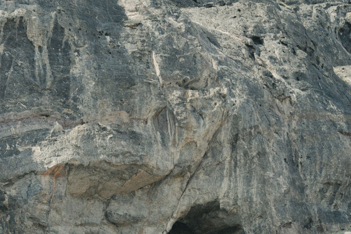
Outside Puerto Natales, a cave mouth large enough to park a commercial aircraft opens into a hillside of fractured basalt above the Patagonian steppe. Cueva Milodón is where the bones of a ground sloth the size of a horse (the milodón) were found in extraordinary preservation in the 1890s, along with evidence of early human habitation. The cave itself is the visual event: the entrance is roughly 80 meters wide and 30 meters high, and the afternoon light enters at an angle that turns the interior walls amber while the steppe behind you stays grey-green. The geometry of scale, a ceiling that dwarfs everything human, a floor of compressed dirt and ancient debris, pressed against open sky, is one of the stronger landscape compositions in southern Chile and almost entirely absent from mainstream travel coverage. A short trail leads to a second smaller cave and a viewpoint above the main entrance that frames the lake system below. The drive from Puerto Natales takes under thirty minutes.
Logistical obstacle: The site is managed by CONAF and charges a straightforward entry fee, but the single access road becomes slick clay after rain. A standard rental car handles it in dry conditions; after precipitation, a higher-clearance vehicle is advisable.
7. Torres del Paine, but the Valle del Frances, Not the Towers
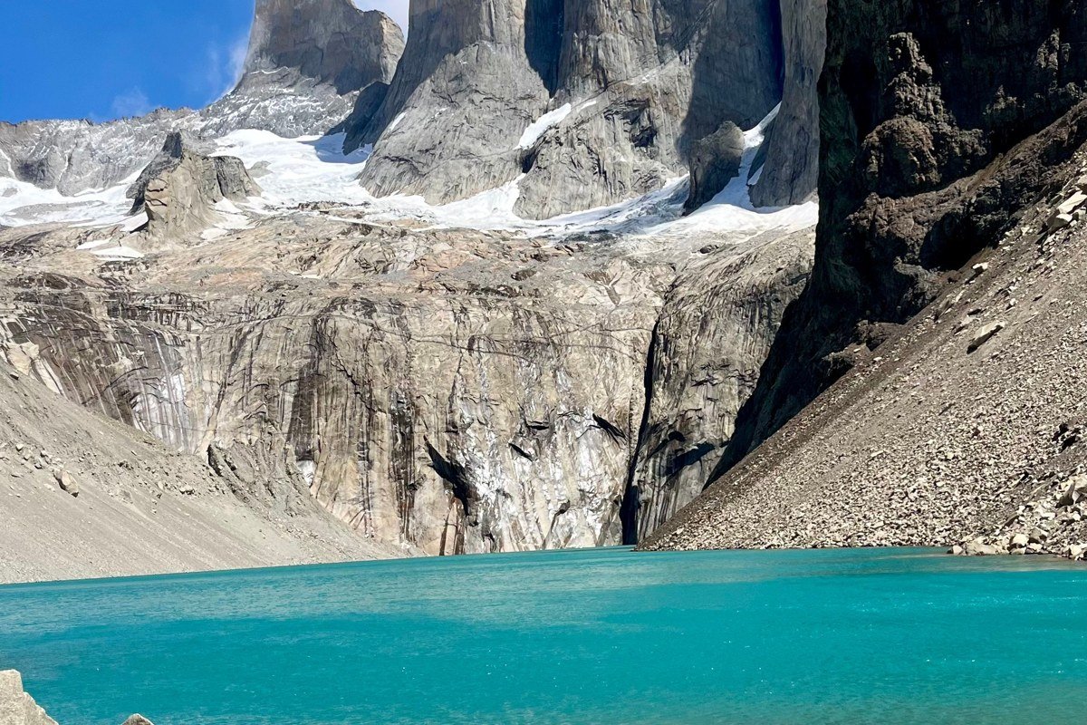
Torres del Paine deserves its reputation, but the iconic tower shot is now so replicated that it has lost some of its force as a personal discovery. The Valle del Frances, reached on day two or three of the W Trek, is where the park gets genuinely strange. Hanging glaciers cling to the walls of the Paine massif and calve ice onto the valley floor at random intervals you can hear before you see. Condors ride the thermals directly overhead at eye level on the upper viewpoint. This is a place where 2026 pinners will find imagery that has not been done to death. Hike it on a weekday, start from the Italiano campsite before 7am, and you will have the upper valley almost entirely to yourself.
Logistical obstacle: Torres del Paine operates daily entry caps that require advance online booking through the official CONAF system, and these slots sell out months ahead for the December-January peak. The W Trek campsites, particularly Italiano and Britanico, book independently through Fantástico Sur or Vertice Patagonia. Failing to secure both park entry and campsite reservations in the same booking window is the most common planning failure for first-time visitors.
8. Cuernos del Paine from Lago Nordenskjold
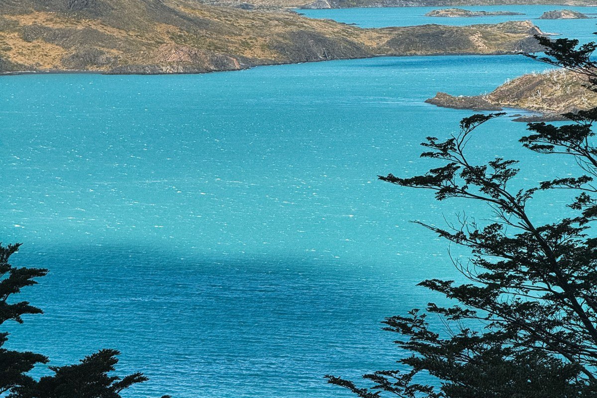
While everyone photographs the Torres (the three spires), the Cuernos (the horned peaks) are geologically more interesting and visually more complex. They are composed of two distinct rock types: dark sedimentary cap rock sitting on lighter granite, which creates a two-tone banding effect that looks deliberate, almost architectural. Lago Nordenskjold stretches in front of them and delivers reliable reflections in the early morning. The best access is from the Pehoe ferry dock or a short walk from the Pudeto parking area, both significantly less trafficked than the base of the towers trail. The honest trade-off is that the Cuernos require cloud to truly perform. Flat blue sky makes them handsome. A stormy sky with the banding lit from the side makes them look mythological.
Logistical obstacle: The Pehoe ferry runs on a fixed schedule that changes seasonally and does not wait. Missing the last return ferry means an unplanned overnight or a very long walk. Check the current timetable with the park concession before you go, not the version cached on a travel blog.
9. Reserva Nacional Cerro Castillo, Aysen Region, Chile
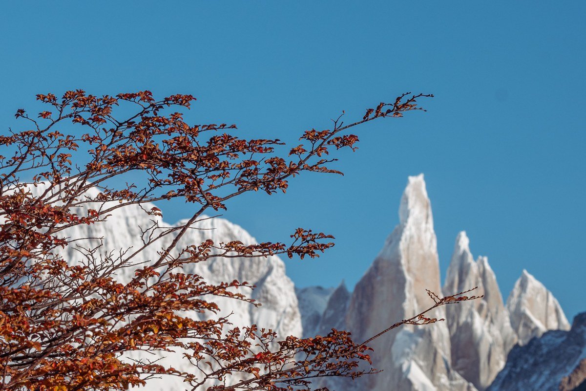
Cerro Castillo is one of the genuine alternatives to Torres del Paine: a basalt fortress of serrated spires that rises above the Carretera Austral south of Coyhaique, with only a fraction of the foot traffic. The mountain looks like a medieval castle wall rendered at geological scale, and the approach trail crosses a lagoon reflecting the spires in a scene so composed it looks staged. The four-day circuit is technically demanding with river crossings that require straps-off boot removal, but the two-day version to the lagoon viewpoint is accessible to fit hikers without technical experience. Peak wildflower season runs from late December through January, when the meadows at the base of the spires fill with yellow and purple, anchoring the geology in color.
Logistical obstacle: CONAF has introduced a quota system for the Cerro Castillo circuit that requires online registration before arrival. Capacity is genuinely limited, not a formality. Independent hikers who show up without a reservation have been turned away at the trailhead during peak season. Register through the CONAF portal as soon as your dates are confirmed.
10. Balmaceda and Serrano Glaciers, Bernardo O’Higgins National Park, Chile
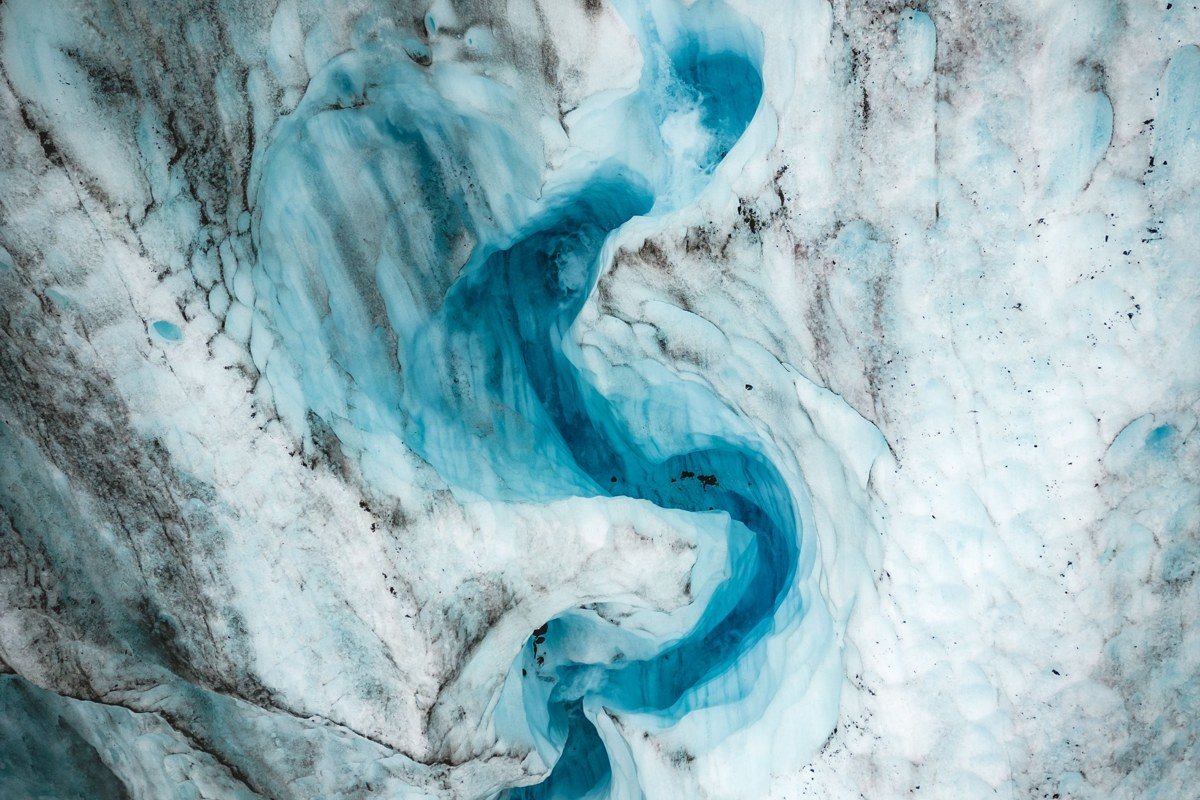
This pair of glaciers is accessible only by boat from Puerto Natales, which means they sit inside a national park that receives a fraction of the attention it deserves. Balmaceda is visibly retreating and has carved a vertical ice cliff face that overhangs the fjord, creating a calving wall that, on a good day, produces small tsunamis the boat captains navigate with practiced calm. The surrounding landscape is untouched southern beech forest, and the contrast between biological green and blue-grey ice is one of the stronger color pairings Patagonia produces. The boat journey itself passes through the Ultima Esperanza Sound, a fjord system where condor flyovers are nearly guaranteed. Combine the trip with a two-hour hike to the Serrano Glacier face, where you can stand on moraine debris and watch the ice up close.
Logistical obstacle: The daily boat from Puerto Natales is the only access and it runs on weather-dependent scheduling. Departures cancelled by wind or fog cannot always be rescheduled within a short visit. This is not a day trip you can append to a tight itinerary; treat it as a destination that needs two days of availability around it.
Planning a Trip Around Dramatic Landscapes in 2026
The Patagonian window runs from late October through late March. November and March are the sweet spots for fewer people and more manageable wind. Renting a 4WD campervan from Punta Arenas, or from the Argentine side via El Calafate, gives you the flexibility to hit multiple locations on this list without depending on bus schedules that rarely align with golden-hour access.
Permits and capacity: what most first-time visitors get wrong. Torres del Paine enforces daily entry caps managed through the CONAF online reservation system. These sell out months in advance for December and January and cannot be purchased at the gate. Cerro Castillo operates a separate CONAF quota for the multi-day circuit; register through the same portal but as a distinct booking. For Argentine parks, Los Glaciares National Park (which covers Perito Moreno) requires paid entry booked online through the Parques Nacionales reservation system, which became mandatory for peak-season visits and is expected to remain active through 2026. Check the current Argentine system before departure, as the platform has changed more than once in recent years. The Balmaceda boat and the Perito Moreno glacier boat tours should both be booked at least two to three weeks ahead for December and January travel.
Budget for gravel road driving. The Carretera Austral between Coyhaique and Puerto Natales runs approximately 900 kilometers of partially unpaved road, and conditions vary significantly by season and by how recently the surface has been graded. It earns every dramatic landscape photograph it produces, but it will also earn your respect for tire sidewalls and suspension.