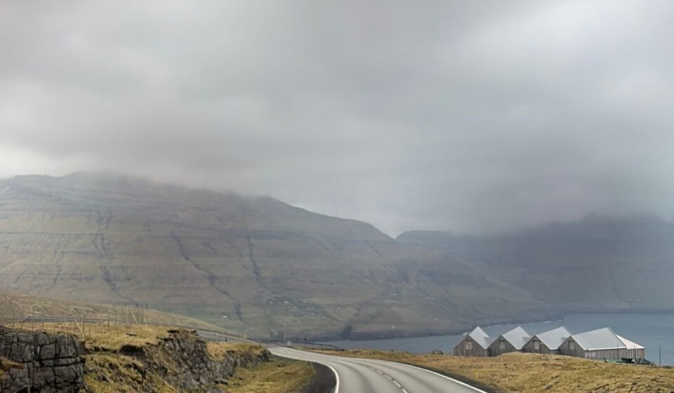

The Faroe Islands have been pinned to death from above, all vertiginous cliffs and Atlantic surf. But the real visual magic of these islands sits lower, in the valleys where fog pools like standing water and turf roofs dissolve into the hillside. If you are after that specific, saturated moodiness that stops a scroll, these are the nine places that actually deliver it.
1. Saksun
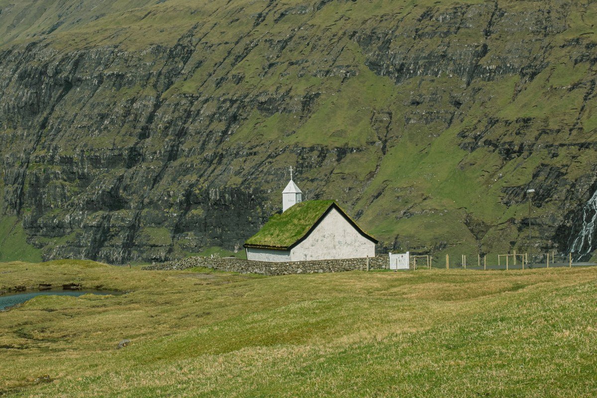
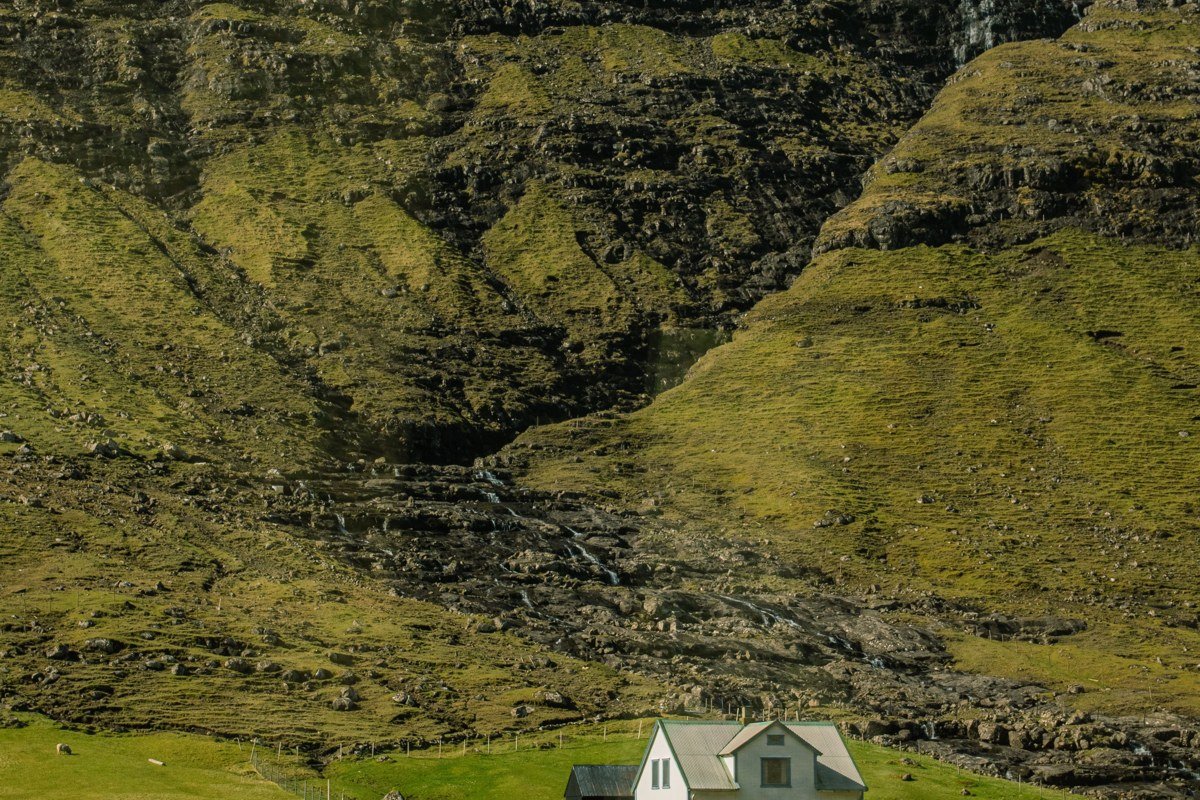
Saksun is the image that converted half the world to Faroese travel, and it earns every repost. Because it is the famous one, it needs to be approached with more intention than most. A tidal lagoon sits cupped inside an almost-closed volcanic bowl, and at high tide the water reflects a ceiling of cloud so completely that the horizon disappears. The tiny white church with its turf roof sits at the edge of all this like a full stop. Walk past the church and up the valley behind it rather than stopping at the viewpoint everyone photographs from, because the upstream light, especially in July when the grasses go almost lime-green, is substantially more interesting. Arrive early morning rather than midday: the lagoon fills before noon and the fog that settles overnight burns off slowly, giving you a window of maybe ninety minutes where water, mist, and grass all coexist at once. The shot that circulates endlessly is taken from the road above. The shot worth having is taken from the valley floor looking back, with the church small against the bowl of the hills.
2. Gásadalur
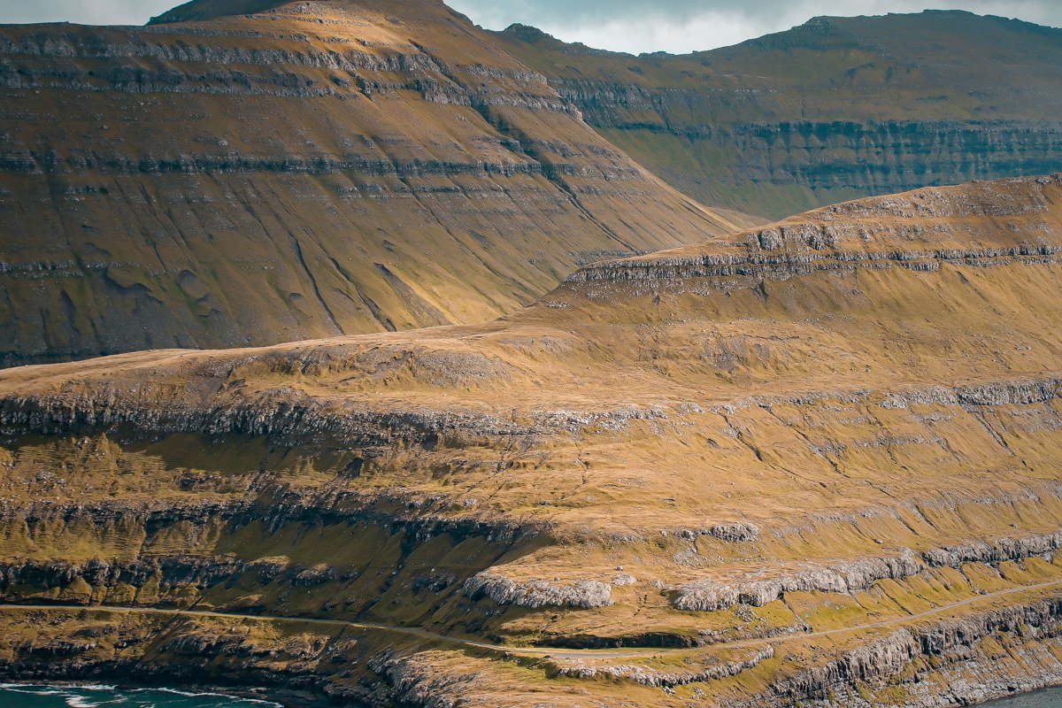
Gásadalur is the other famous one, and its fame is fully deserved, which means you need a plan to sidestep the crowds rather than a reason to skip it. The village only got a road tunnel in 2004. Before that, villagers hiked a mountain pass to reach the outside world, and that sense of deliberate remoteness still clings to it. The Mulafossur waterfall drops directly from the cliff edge into the ocean just below the village, and in westerly weather the wind shoves the water sideways into mist before it hits the sea. The aesthetic payoff here is not just the waterfall but the village itself: a handful of houses tucked against a slope so intensely green it seems lit from below, a saturated yellow-green in wet weather that photographs closer to artificial than natural. The honest trade-off is that Gásadalur is one of the most visited spots in the Faroe Islands, so visit on a weekday in May or September when the tour buses thin out, and walk the old mountain path if weather allows. The approach from above, looking down over the rooftops to the waterfall and the open Atlantic beyond, is a completely different photograph than what everyone else is taking from the tunnel road viewpoint, and it is the better one.
3. Tjornuvik
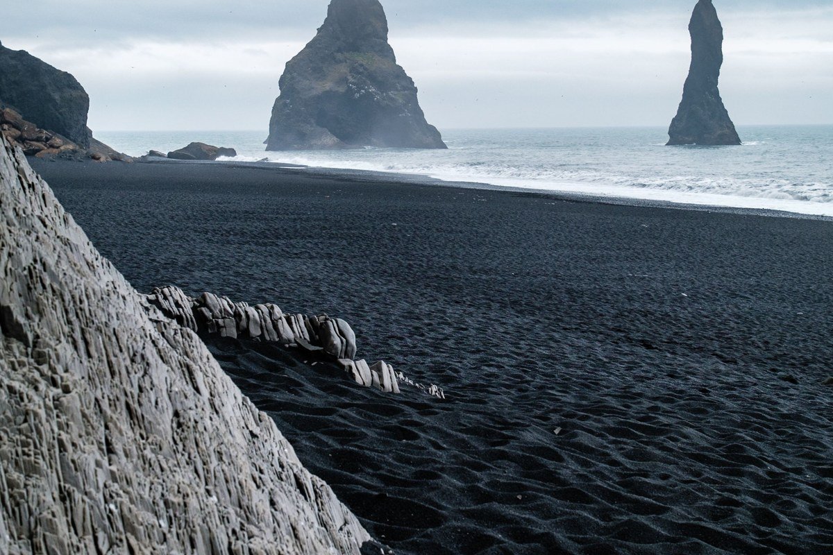
At the northern tip of Streymoy, Tjornuvik sits in a bay flanked by the sea stacks Risin og Kellingin, the Giant and the Witch, rising from the water a little offshore. The black sand beach stretches wide enough that you can find genuine solitude even in summer if you walk ten minutes past the village. What makes Tjornuvik distinct from other Faroese coastal spots is the way the valley behind it funnels fog down from the mountains so that the sea stacks appear and disappear in real time, which is chaotic for controlled photography but extraordinary for moody, unplanned shots. Stay in the village accommodation rather than day-tripping from Torshavn: the hour after sunset in summer, when the light goes diffuse and pewter-colored, is the window that does not appear on any tourist board image.
4. Funningur, Eysturoy
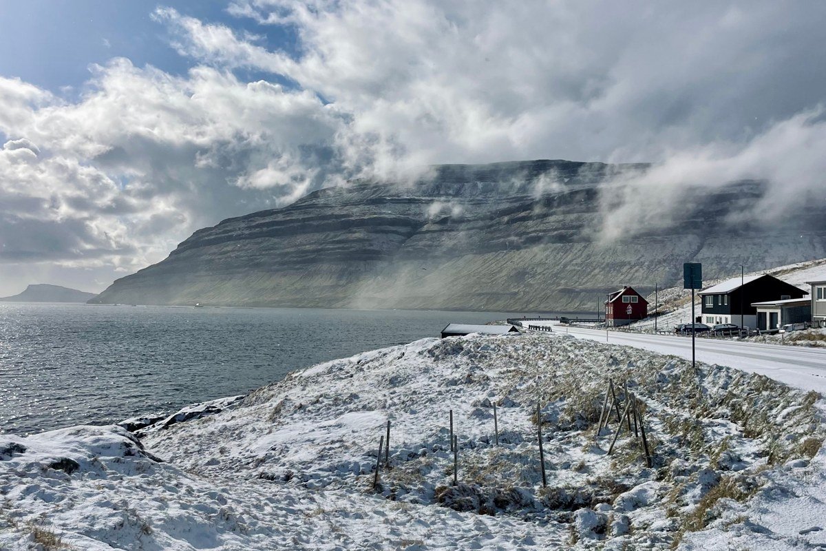
From the road into Funningur, the fjord arrives before the village does. A narrow strip of water catches the basalt columns of the opposite wall and holds them, inverted, in a reflection so precise on still mornings that the join between water and mountain is genuinely difficult to locate. The color is specific: the basalt reads as a dark blue-grey in flat light, and the water gives it back with a slight green tint from the depth, so the whole scene sits in a cool, narrow palette that overcast skies amplify rather than flatten. A twelfth-century church stands at the water’s edge with a churchyard sloping into the fjord, and the combination of old stone, still water, and cloud-wrapped peaks produces the kind of layered depth that makes a photograph feel three-dimensional. Drive the road along the fjord at first light, before any wind develops, because the reflection only holds when the water is glassy. Funningur sees considerably less traffic than the ring road villages on Eysturoy, and the silence is part of the experience rather than incidental to it.
5. Elduvik
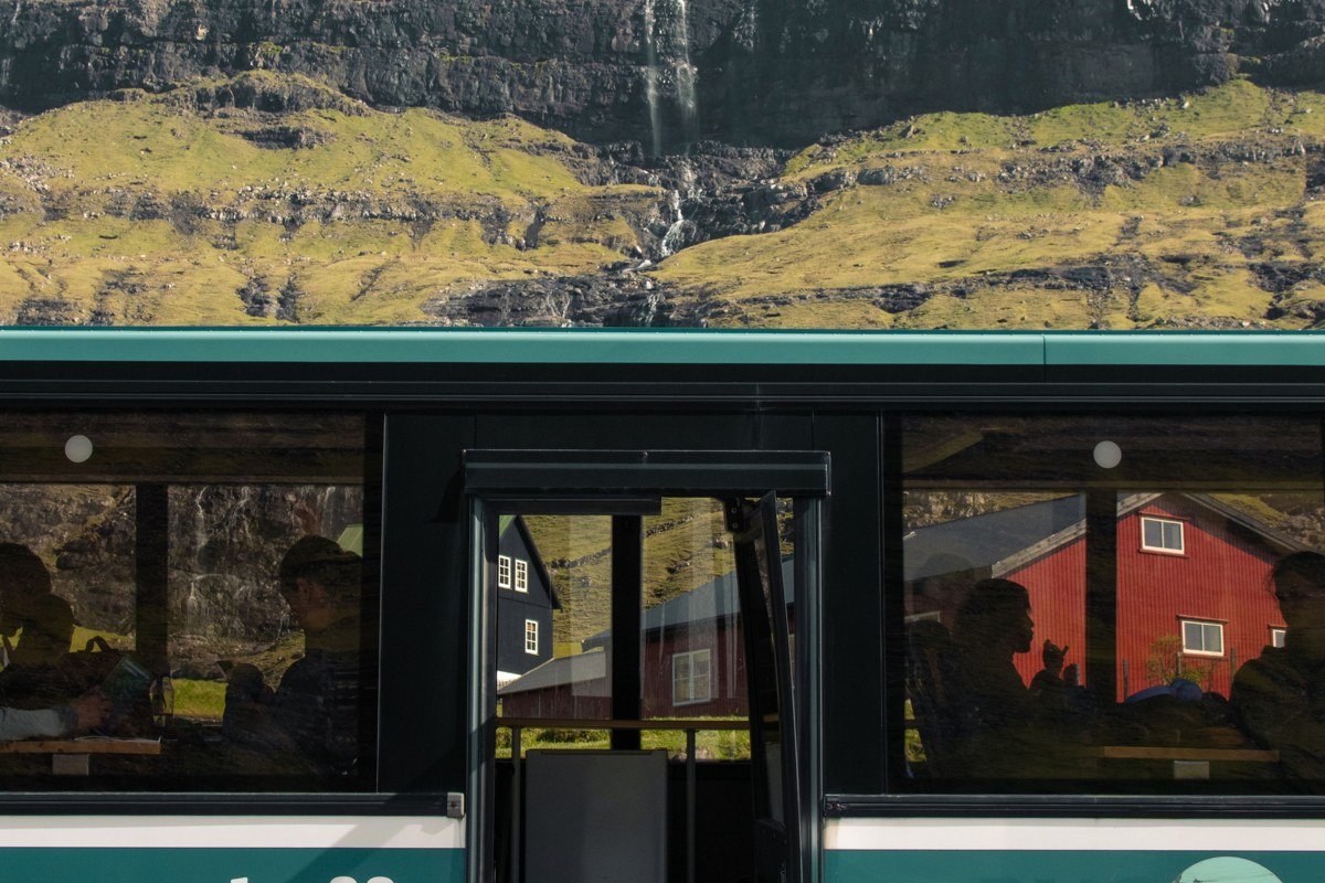
Roughly a dozen brightly colored houses sit at the head of a fjord in eastern Eysturoy, backed by mountains that are reliably cloud-capped by mid-morning. The color contrast between the saturated reds and yellows of the houses and the grey-green of the slopes makes Elduvik one of the most naturally composed scenes in the Faroe Islands without any styling required. There is no cafe, no tourist infrastructure. Walk to the head of the valley behind the village where a small stream comes down through tall grass, and shoot back toward the houses with the fjord behind them. This reverse angle, with the mountains on either side creating a natural frame, is the shot that rarely surfaces online but consistently outperforms the standard approach-from-the-road composition. The absence of visitor infrastructure is not a gap in the offering. It is the offering.
6. Kirkjubour
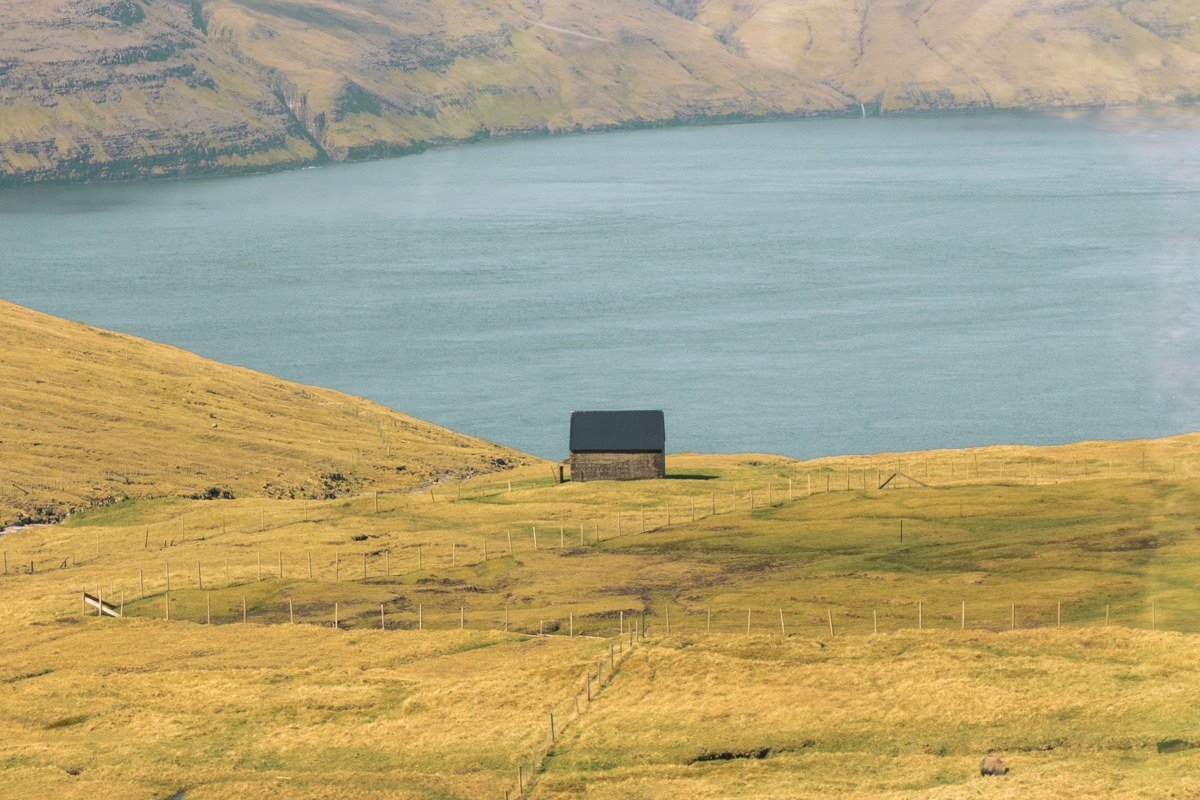
Kirkjubour was the medieval ecclesiastical center of the Faroe Islands and the ruins of the Magnus Cathedral still stand, roofless and wind-scoured, on the southern tip of Streymoy. Next to the ruins sits Roykstovan, one of the oldest inhabited wooden houses in the world, still occupied by the Patursson family. The visual combination of cathedral ruins, medieval farmhouse, turf roofing, and open Atlantic beyond is genuinely singular. The mood here is less about fog and more about geological time: the basalt cliffs below the ruins are stratified in visible horizontal bands that read beautifully in overcast light, which is most Faroese weather anyway. Come at low tide and walk the shoreline beneath the ruins for the angle that does not appear in any guidebook. From the shore, the cathedral arch frames the sea horizon at a low perspective that the path-level view entirely misses.
7. Koltur Island
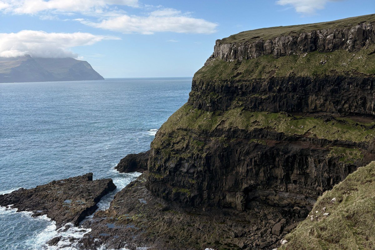
Shaped like a fin breaking the surface, Koltur is a small island visible from the main ferry routes, uninhabited now but reachable by occasional charter boat. A single farmhouse has been converted to basic accommodation with a handful of beds. The reason to make the effort is that Koltur gives you the Faroe Islands before tourism existed: no paths, no signs, no other people. The fog that settles into the valleys here has nowhere to go, so it stays. In the afternoon, the light filtering through it is soft and directionless, the kind of diffuse illumination that flatters everything and makes distance hard to judge. The honest caveat is that access is weather-dependent and can collapse with no notice. Book the accommodation, treat the date loosely, and build buffer days on either side. The photographs you get from an island you reached by charter boat in uncertain weather are categorically different from anything achievable on a day tour.
8. Vidareidi, Vidoy
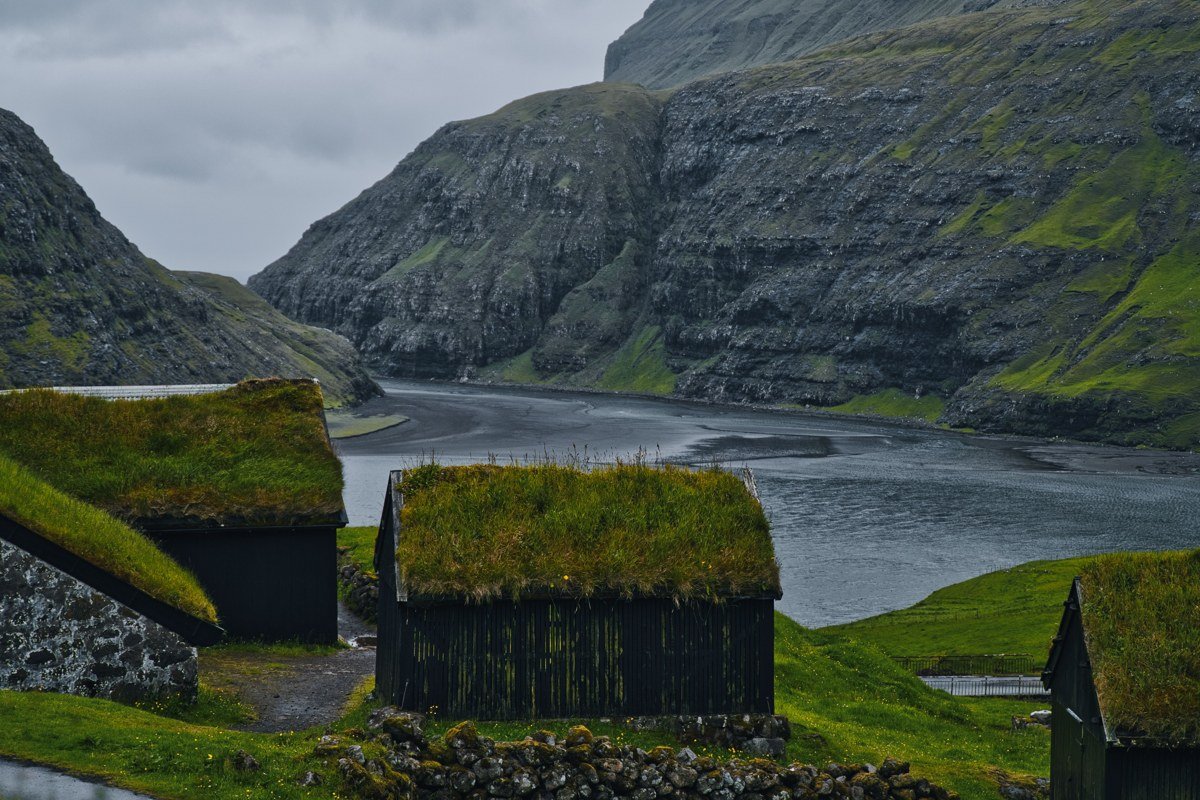
The approach road from the south gives you the village in glimpses, appearing and disappearing as you round corners in low cloud, and those transition moments are worth stopping for before you arrive. Vidareidi sits on the northern end of Vidoy, flanked by the sheer north face of Enniberg, which rises to 754 meters directly from the sea and ranks among the highest sea cliffs in the world. The village itself is small and quiet, but the geography is almost aggressive in its drama: mountains on three sides, open ocean on the fourth. In midsummer, the sun barely dips below the horizon, and around 11pm in June the light turns a deep amber that rakes across the grass at a low angle and holds for longer than logic suggests it should. Photographers plan entire trips around this specific window. Walk the ridge path that climbs behind the village: the view north from the ridge on a partially cloudy day, with shadow and sun moving across the ocean in patches, justifies the altitude.
9. Sornfelli, Streymoy
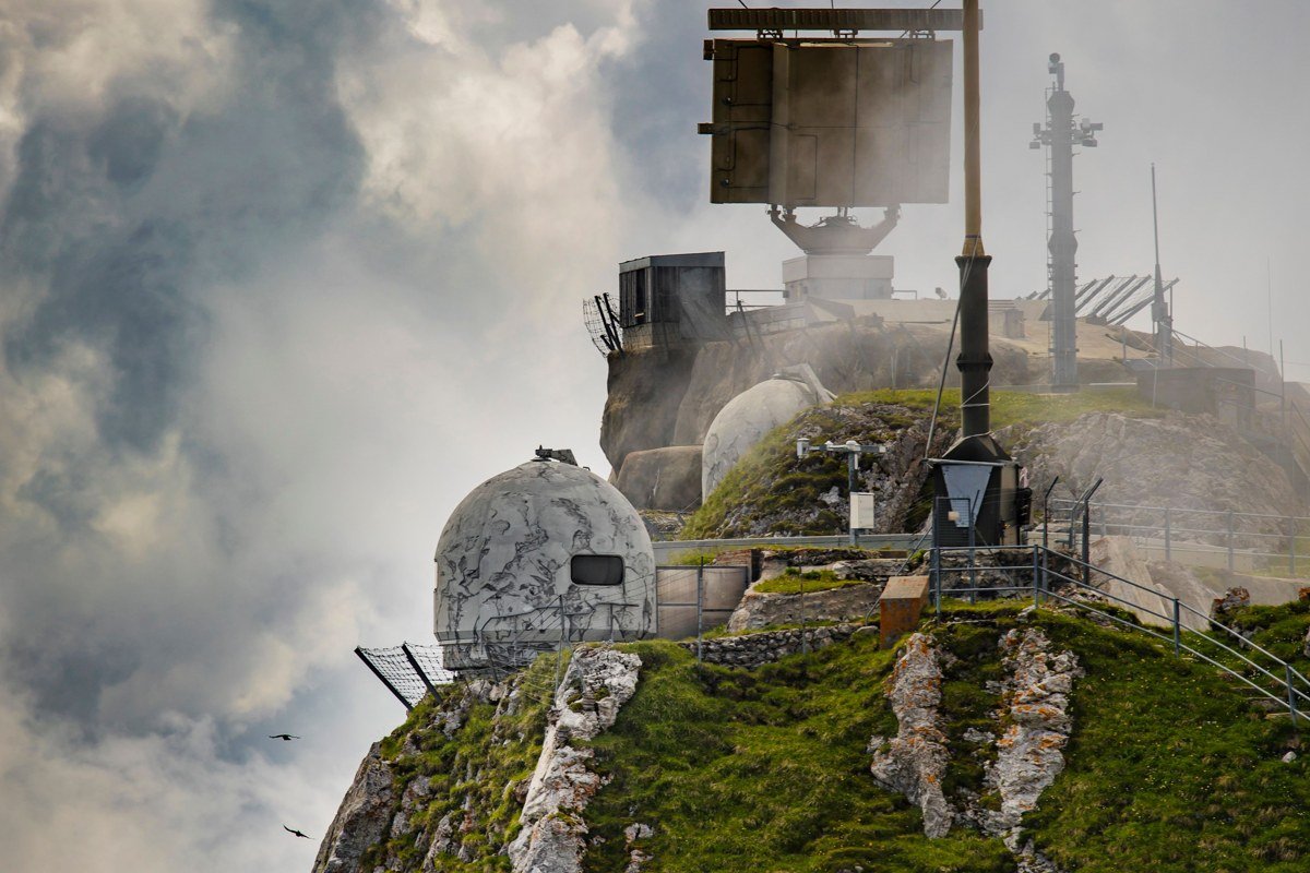
A road runs to the summit of Sornfelli, which is unusual in the Faroe Islands and extremely useful. At around 750 meters, you are frequently above one cloud layer and below another, sitting inside a phenomenon locals describe as being between the worlds. A Cold War radar installation sits at the top, functional enough to be eerie, and the combination of utilitarian military architecture half-dissolved in cloud against views of fjords below is a specific visual register that no other spot in the Faroe Islands offers. This is not a soft pastoral scene. It is strange and a little unsettling, and that is exactly the point. Drive up in the evening in June, when the 11pm light turns the cloud banks copper-amber and the fog shifts fast enough that conditions change within a single frame. Give yourself at least two hours. Patience here is effectively a compositional tool, because the scene that exists when you arrive is rarely the one worth photographing.
The Ferry Crossing: A Tenth Destination in Itself
Most visitors treat the inter-island ferries as logistics. They are also one of the most visually distinctive experiences the Faroe Islands offer, and worth scheduling deliberately rather than rushing through.
On crossings between the main islands, particularly the routes through Skalafjordur or between Sandoy and Streymoy in low cloud, the view from the deck layers multiple islands at different distances into a progression of greys. The nearest island is green and detailed. The next is blue-grey. The one beyond that dissolves into fog so completely that it reads as a slightly darker version of the sky. The effect is less like looking at land and more like looking at a woodblock print, flat planes of tone stacked to the horizon. This is a distinct visual register that does not exist on land anywhere in the islands and does not appear in most travel photography of the region.
The Faroe Islands ferry network is free for most crossings. Take the longer routes when you can, sit on the outer deck regardless of the temperature, and bring something weatherproof. The crossing to Sandoy in morning fog is reliable enough to plan around.
Planning Your Trip: What You Actually Need to Know
The Faroe Islands are small enough that you can reach most of these places from a base in Torshavn in under ninety minutes by road. Rent a car. The bus network exists but the timing windows for light and fog do not align with any schedule.
Fog and cloud are features, not obstacles. Pack a rain shell for every excursion regardless of the morning forecast. Weather changes within the hour and within a few hundred meters of elevation.
The ferry and tunnel network connects the main islands without charge. Smaller islands like Koltur require advance planning, usually through local operators in Vestmanna or Sorvagur.
May, June, and September offer the best balance of green landscapes, manageable visitor numbers, and long light. June specifically is the month photographers prioritize for the amber post-11pm light that stays directional and warm long after sunset should have ended. July is peak season with the most predictable daylight but the most crowded ferry crossings. Winter visits are possible and atmospheric, but several mountain roads close and boat access to outer islands becomes genuinely unreliable.
Book accommodation early. The island-wide bed count is small relative to interest, and the best options in smaller villages, particularly anything with a fjord view, go months in advance. If you are building a trip around specific light conditions, build in at least two extra days beyond what you think you need.