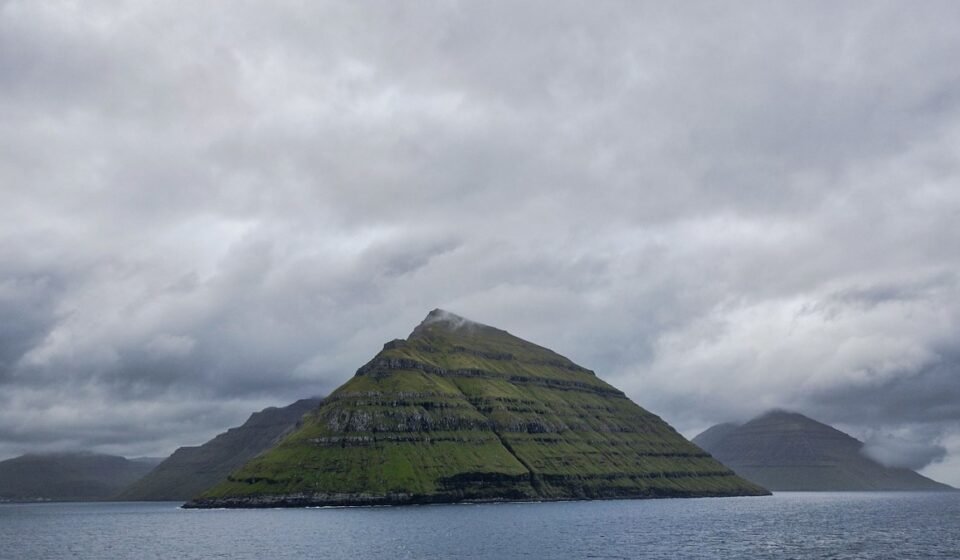

Sixty-one degrees north, eighteen islands, closer to Iceland than to Denmark. The Faroe Islands sit in the North Atlantic at a latitude where weather is not a backdrop but a presence, where sea cliffs disappear into low cloud by mid-morning and reappear without warning an hour later. The landscape is volcanic, compact, and genuinely disorienting in scale. Here are nine places within it that earn every obsessive photograph.
1. Saksun
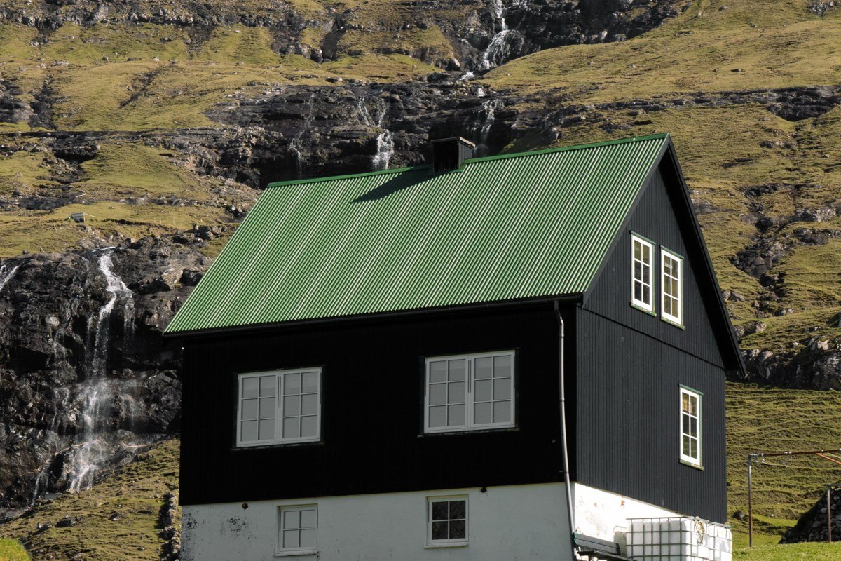
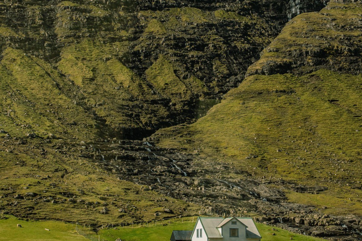
Saksun is the village that appears on travel boards so often it starts to feel fictional. Turf-roofed farmhouses sit above a tidal lagoon that fills and drains with the Atlantic twice a day, and the valley walls rise steeply enough on all sides that clouds frequently pool inside like water in a bowl. The best thing to do here is arrive before 9 a.m., when the tour buses have not yet left Torshavn, walk down to the lagoon edge, and simply wait for the light to shift. One honest trade-off: the single access road is narrow and the small car park fills fast in summer, so carpooling from the capital saves a headache. If the tide is out and the lagoon has emptied to a flat of dark sand, that is the shot.
2. Trælanípa and Lake Sørvágsvatn
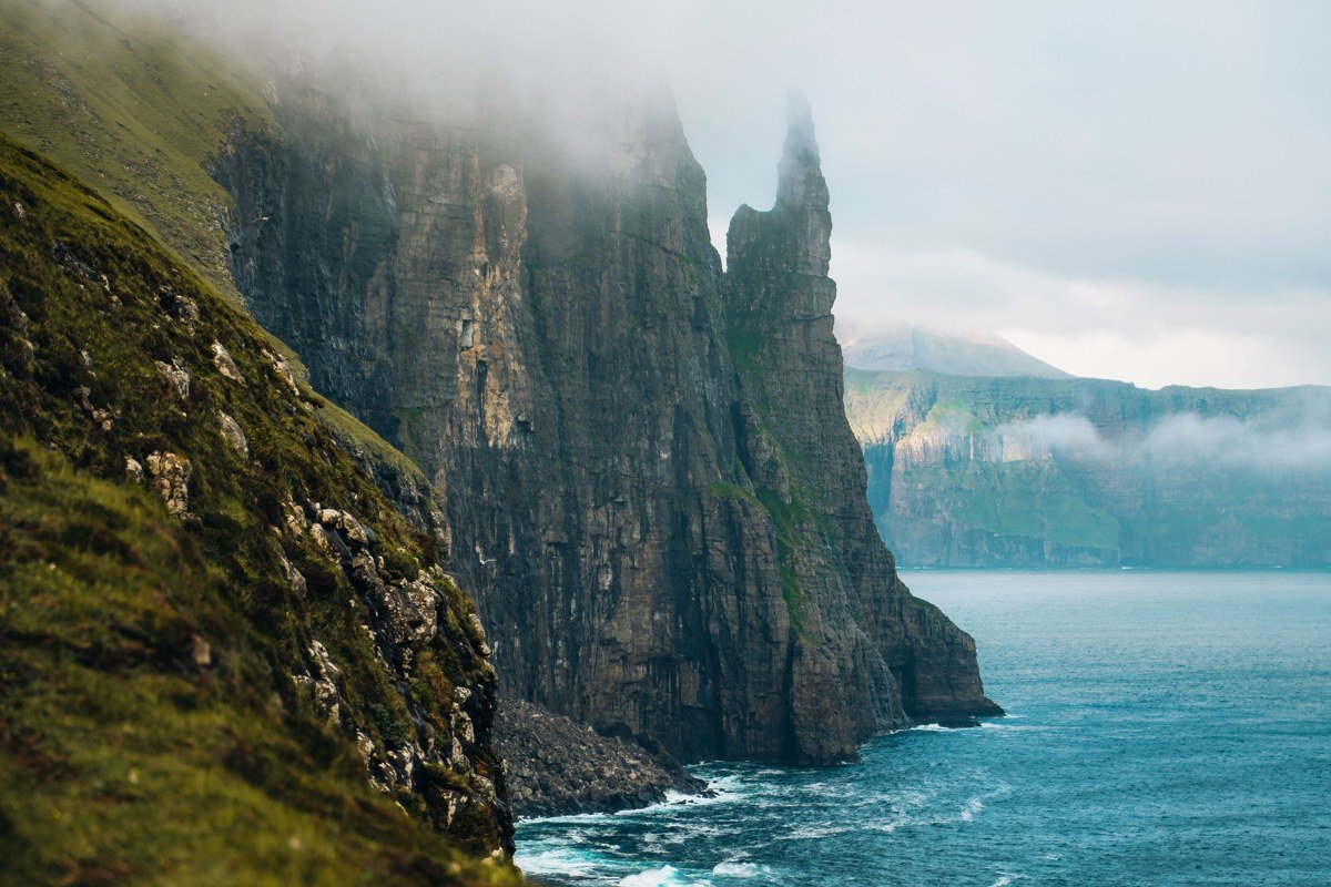
No photograph of this place looks real, which is precisely why it has become one of the most-saved landscape images in travel photography. Lake Sørvágsvatn sits on a basalt plateau, and from a specific angle along the trail the water appears to float high above the ocean surface below, suspended by nothing. The optical effect is produced by the cliff edge concealing the true ground level, and it holds up in every season. Walk the full trail from Miðvágur rather than cutting in from the car park at Bøsdalafossur, both because the full approach gives you time to read the landscape and because the waterfall where the lake drains off the cliff edge is genuinely stunning from close range. Midsummer brings the longest light, but early autumn delivers the most dramatic cloud formations pressing through the valley.
3. Gásadalur
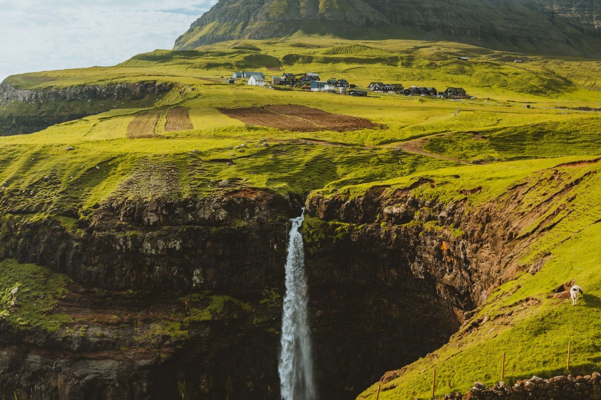
Until a tunnel was blasted through the mountain in 2004, Gásadalur was genuinely cut off from the rest of Vágar island except by a steep footpath over the ridge. The village is tiny, perhaps a dozen inhabited structures, but the waterfall called Múlafossur drops almost directly from the edge of the village pasture into the ocean, and that composition is close to perfect for wide-angle work. Walk past the main viewpoint and continue down the rough path toward the shore for a low angle that most visitors skip. The green is impossibly saturated after rain, and it rains often, so do not treat bad weather as a reason to stay in the car. The road from the tunnel exit to the village takes about five minutes, the parking area is small, and arriving on foot from the tunnel mouth adds texture to the approach while keeping the viewpoint less crowded.
4. Vestmanna Sea Cliffs
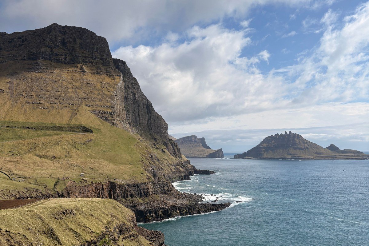
The cliffs at Vestmanna are best seen from the water, which means booking one of the rigid-hulled tours that depart from the harbour in Vestmanna on Streymoy. The operator Vestmanna Boat Tours (also known as Puffin Express) runs trips of roughly 90 minutes, long enough to push into the narrow sea caves and grottos where the sky narrows to a ribbon of grey above you and the sound becomes low and resonant in a way no photograph can capture. The basalt columns rise over 400 metres in places. Puffins and guillemots nest in the cliff faces through summer, and the contrast of small birds against massive dark rock gives the scene an almost medieval scale. Book a morning departure to catch the light hitting the western faces, since afternoon departures tend toward flat shadow.
5. Elduvik
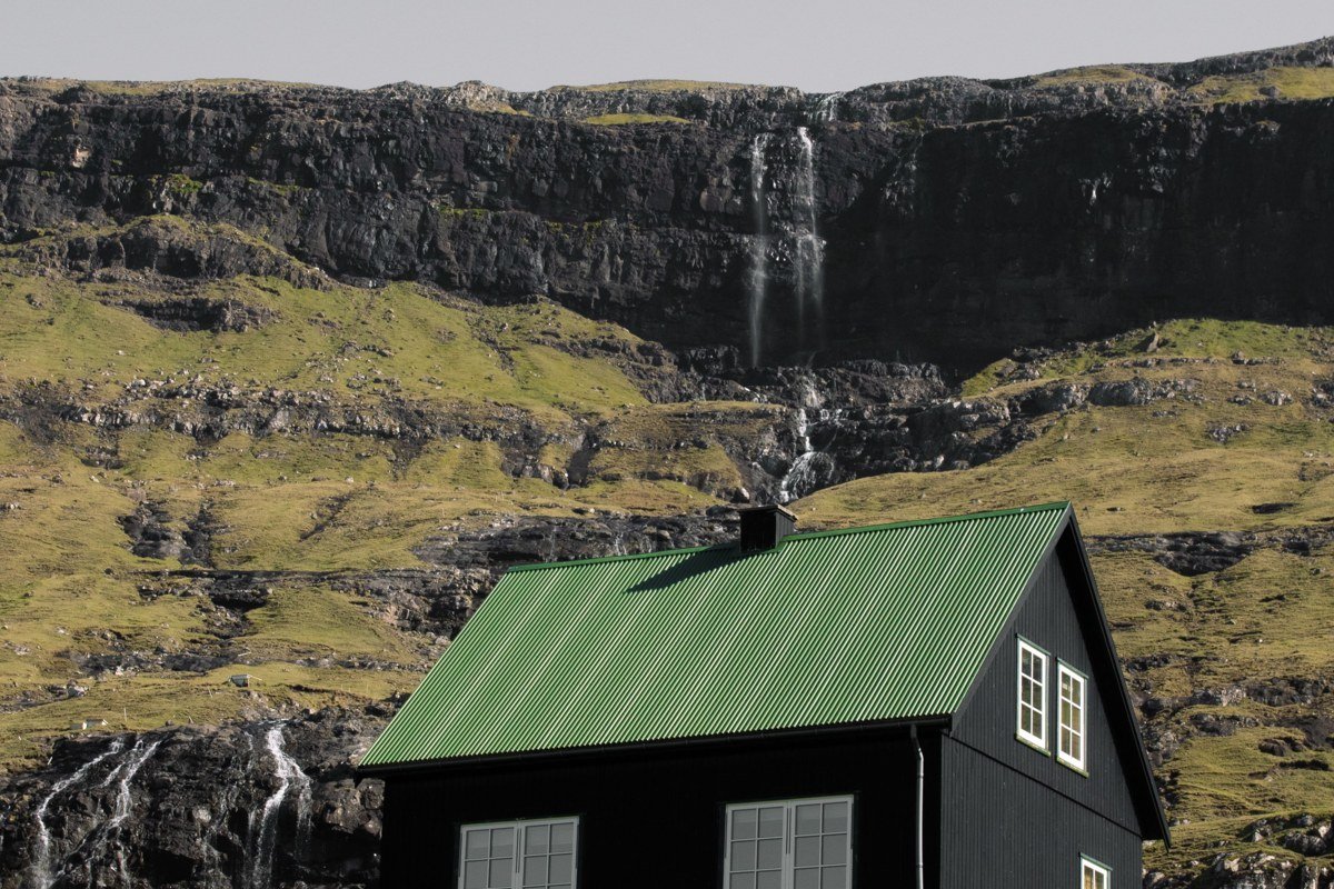
Elduvik is not on the main tourist circuit, and that is the entire point. The village sits at the far inner end of Funningsfjørður on Eysturoy, and the drive to reach it follows a fjord road where waterfalls pour straight onto the asphalt after heavy rain. The hamlet is small enough that you will likely have the harbour to yourself, the coloured wooden houses reflecting in the still fjord water when the wind is low. A few kilometres back toward the main road, the church at Funningur is worth a stop: its setting against a steep mountain backdrop is striking enough that it appears in almost every photographic survey of the islands, positioned where the fjord narrows and the hillside rises sharply behind the white walls. Come in June when the hillsides are green and the waterfalls are running hard from snowmelt above.
6. Kallur Lighthouse, Kalsoy
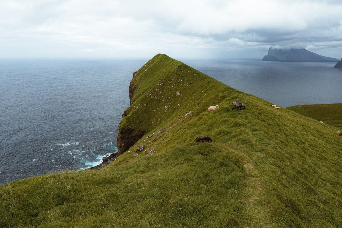
Getting to Kallur requires intention. You take a ferry from Klaksvík to the island of Kalsoy (operated by SSL; the crossing to Syðradalur runs roughly four times daily, is free for pedestrians, and current timetables should be confirmed at ssl.fo before you travel). From the ferry landing, you drive the single-lane road through four unlit tunnels to the northern village of Trøllanes. These tunnels are a practical note worth absorbing in advance: they are single-lane, unlit, and depend on passing places cut into the rock every few hundred metres. The convention is to pull into a passing place if you see headlights ahead, and to drive with full beam on throughout. Then comes the hike, about 45 minutes up a ridge that narrows dramatically as it approaches the lighthouse. The lighthouse itself is modest in scale, white with a red top, but the ground beneath it falls away on three sides to the ocean. Afternoon light from the southwest catches the lighthouse face and the sea surface simultaneously, which is the combination worth timing.
7. Tjørnuvík
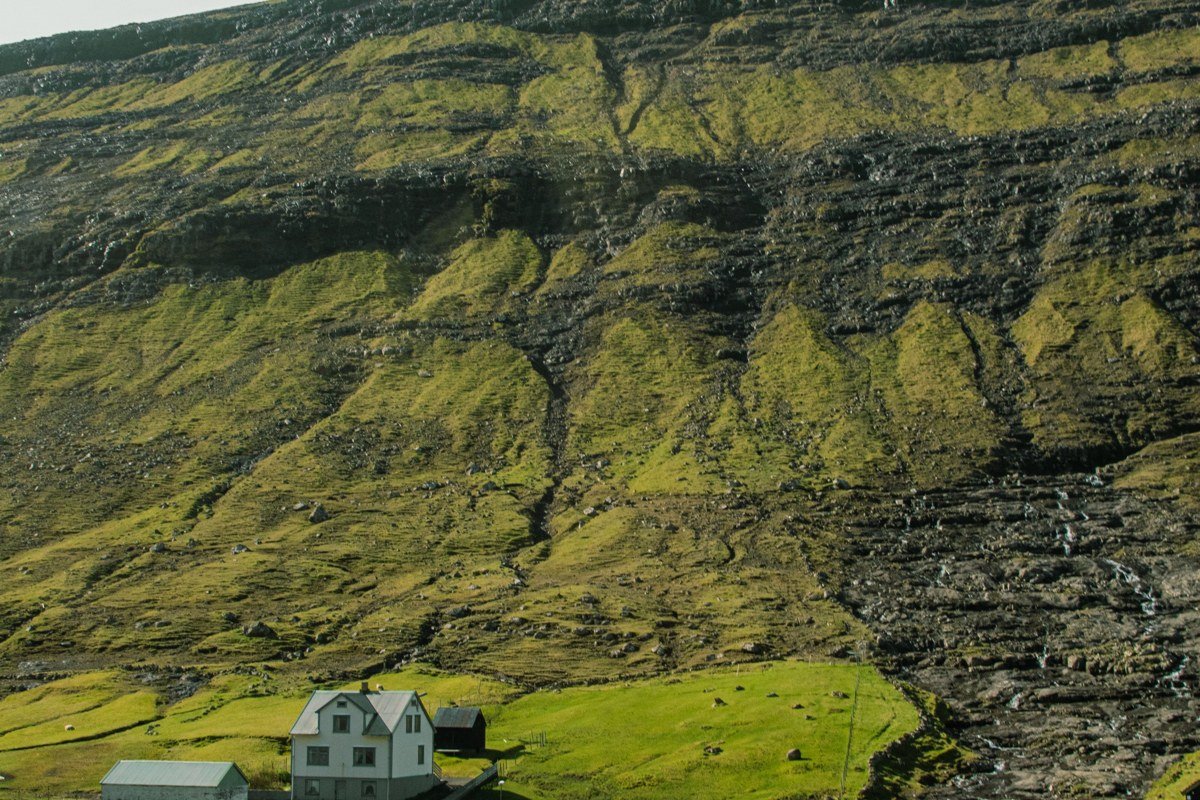
Tjørnuvík sits at the northern tip of Streymoy and faces two sea stacks called Risin and Kellingin, which Faroese folklore describes as a giant and a witch turned to stone while attempting to drag the islands toward Iceland. The black sand beach in front of the village is photogenic at any tide, but it is the combination of the stacks, the fog that collects on the hillsides behind the village, and the occasional fishing boat in the frame that creates the layered composition so many photographers are chasing. The surf here is significant and the beach has a legitimate undertow, so the rocks at the north end of the beach are a safer vantage than the waterline. Village parking is limited to a small area near the road end, and the local community has put up signs requesting that visitors stay on the marked paths through the hay fields.
8. The Enniberg Cliffs: Two Ways In
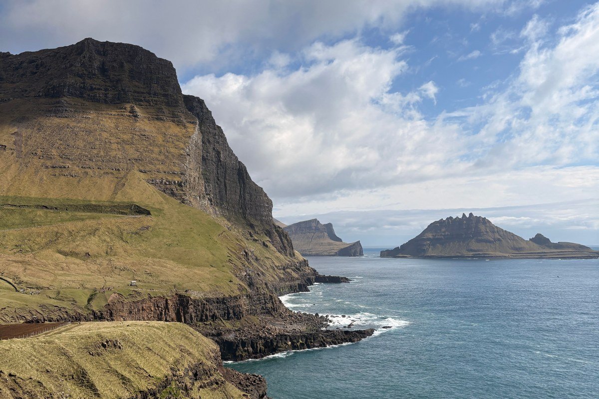
The cliffs at Enniberg on Viðoy are among the highest vertical sea cliffs on earth, dropping close to 750 metres straight into the water. There are two distinct approaches worth separating clearly. The viewpoint above the village of Eiði on Eysturoy offers a long-range perspective across Enniberg’s face on a clear day, best on bright mornings when the cliff profile is readable from across the sound. The more committed option is different in character: drive to Viðareiði on Viðoy itself and hike to the cliff edge from the north, which brings you directly above the drop. Standing at that edge in full cloud, when visibility falls to thirty metres and all you can hear is wind and distant surf, is arguably more affecting than the clear-sky version. The ferry and road connection from Klaksvík makes Viðoy accessible as a day trip, and Viðareiði has a small hotel if you want to stay for morning light.
9. Mykines
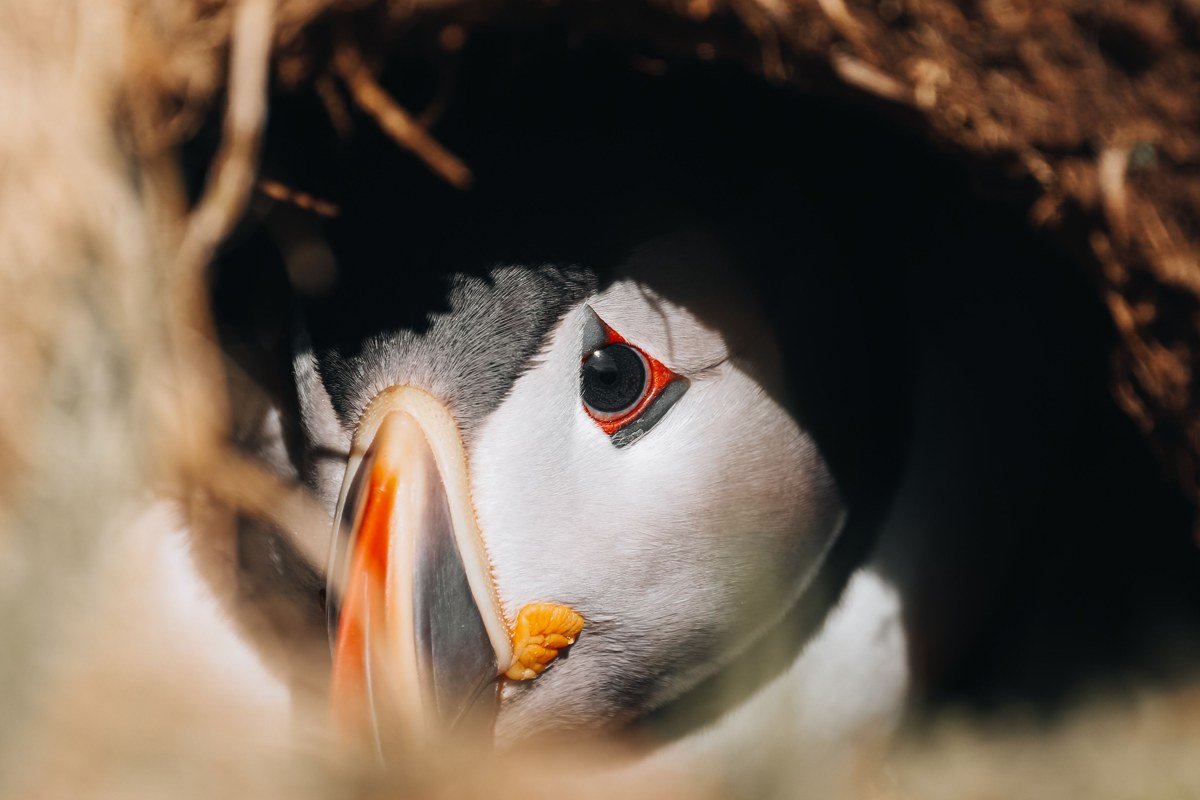
Mykines is the westernmost island in the archipelago, and the effort required to reach it, a weather-dependent ferry running from Sørvágur that cancels frequently in wind, functions as a natural filter. The island has a handful of permanent residents, a small village of coloured houses connected to the lighthouse islet by a rope suspension bridge, and the densest accessible puffin colony in the Faroes. The birds are present from around April through August and are remarkably unintimidated by walkers on the cliffside paths, making close observation straightforward without specialist equipment. Book the ferry weeks in advance in summer, and always check the weather forecast the evening before, because a calm morning can become a cancelled return by afternoon. Packing a dry bag for camera gear is not paranoia here. It is standard practice.
Worth Mentioning: Gjógv
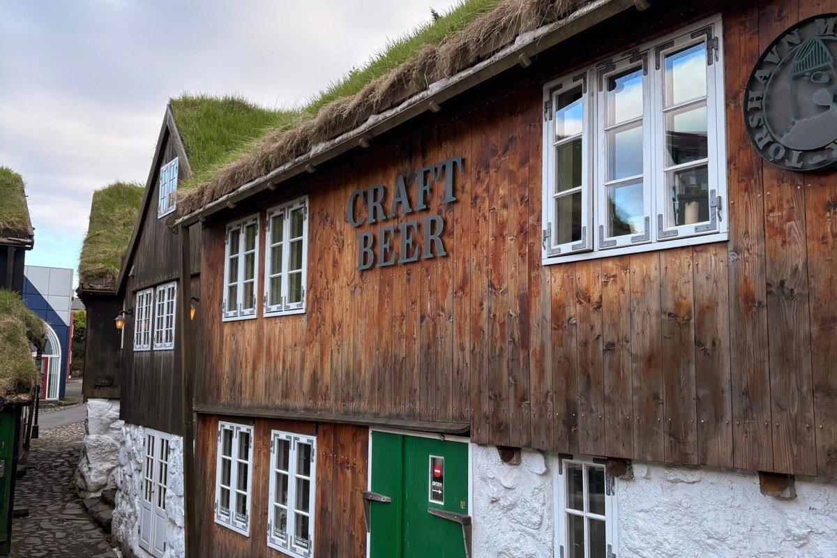
Gjógv sits on the northeast tip of Eysturoy and is consistently overlooked in favour of the same half-dozen Faroese staples. The village takes its name from the narrow natural gorge in the basalt that serves as its harbour, a channel perhaps five metres wide and thirty metres deep that the Atlantic pushes into from below. Turf-roofed houses cluster above it, the surrounding hillsides are steep and green, and the light in early morning, before the coastal haze builds, is as painterly as anything in Saksun. It rivals the more famous villages on atmosphere and is less frequently reached by organised day tours. If you are already driving Eysturoy to reach Elduvik or the Enniberg viewpoint at Eiði, Gjógv adds perhaps forty minutes and offers a genuinely different texture: a working coastal settlement that has not yet been absorbed entirely into the photography circuit.
Getting There and Making the Most of It
The Faroe Islands are served by Atlantic Airways from Copenhagen, Edinburgh, and several other European hubs, with connections year-round. Torshavn is the natural base, and most of the places on this list are reachable as day trips from the capital by rental car. Some islands require ferries. Mykines demands flexible scheduling built around weather, and Kalsoy demands patience with single-lane tunnel driving. The best window for combining green landscapes with manageable crowds runs from late May through early July. August is peak summer and can feel surprisingly busy given the islands’ small scale. Bring waterproofs regardless of the season, understand that fog and rain are not obstacles to photography here but the main subject, and resist the urge to stack multiple stops into every day. These islands reward slowness more than efficiency.