
The ferry to Puerto Eden takes three days. The trail to Cabo Froward crosses rivers with no bridges. The scree above Laguna de los Tres turns back a meaningful percentage of people who attempt it. These nine destinations share one quality: access requires genuine commitment, whether multi-day hiking, a small boat, or both. That friction is precisely what keeps them extraordinary.
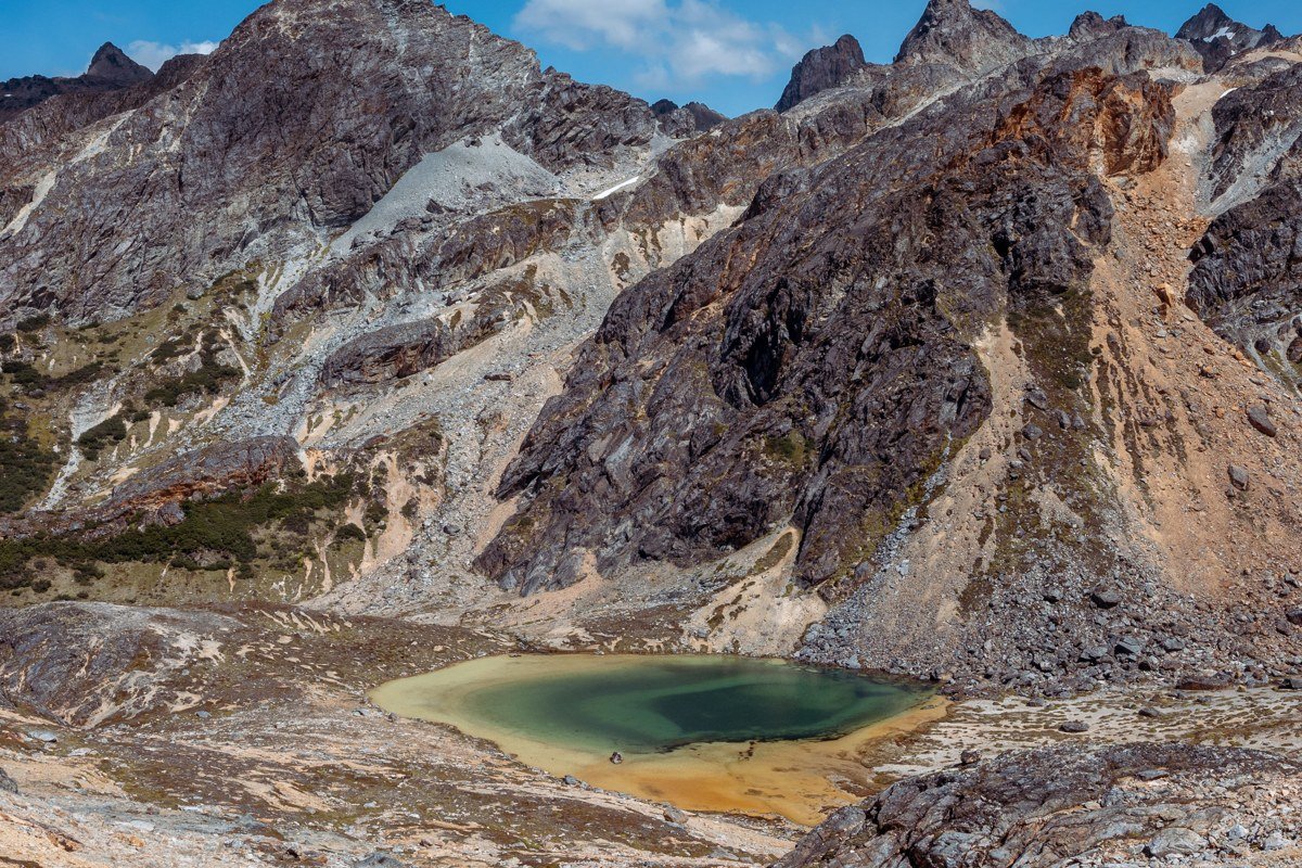
1. Lago del Desierto, Argentina
Access method: Foot + Boat
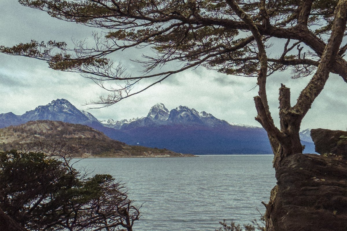
This lake sits at the northern end of the Southern Patagonian Ice Field, connected to El Chalten by a roughly four-hour drive on gravel road and then a short but steep trail to the Chilean border crossing. The payoff is a water surface so milky green it reads as artificial in photographs. The best move is to take the small passenger ferry across the lake and continue into the Chilean side toward Lago O’Higgins, a crossing that very few visitors bother with because it requires an extra day and real logistical coordination.
One planning failure derails this route more than any other: the Chilean border crossing to Lago O’Higgins requires a valid passport. A national identity card accepted elsewhere in South America is not sufficient here. Confirm current requirements with the Chilean border authority (Policía de Investigaciones) before departure, as enforcement is consistent and turning back from this crossing wastes a full day.
Time it for mid-March when the lenga beech trees go copper and rust and the Torres del Paine crowds have already started thinning.
2. Refugio Dickson, Torres del Paine Circuit (The O Circuit)
Access method: Foot
Most visitors do the W Trek and call it Patagonia. The full O Circuit adds the northern loop, and Refugio Dickson is the stretch that separates the committed from the curious.
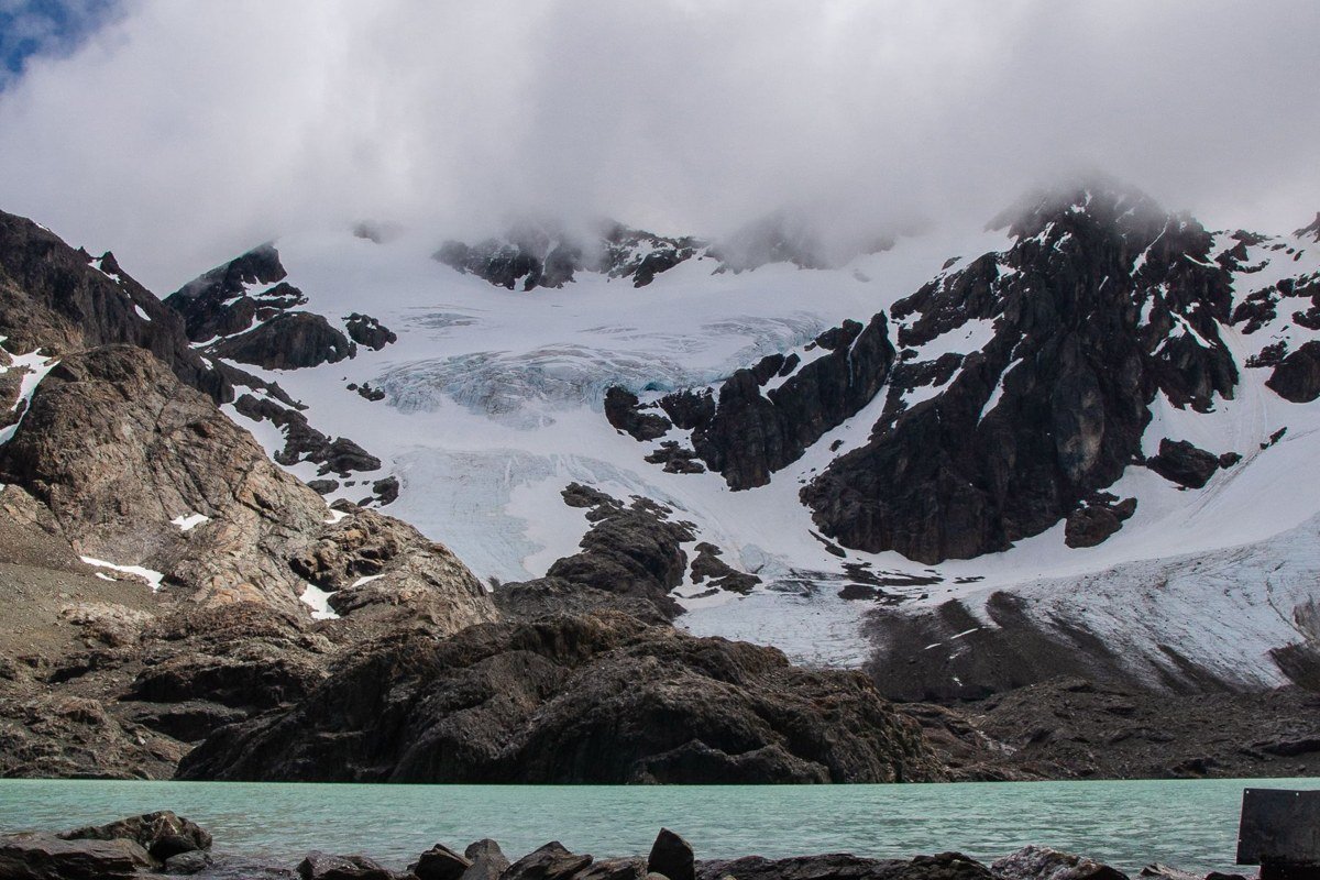
On the counterclockwise direction (the direction most operators recommend and CONAF now formally encourages), you cross the John Gardner Pass before descending to Refugio Dickson. The pass is the highest point on the circuit, sitting at roughly 1,241 meters, with views of the Grey Glacier below that look convincingly like Antarctica. Coming down from Gardner on the counterclockwise route, the refugio appears at the foot of Glaciar Dickson, which calves directly into Lago Dickson. If you walk the circuit clockwise, Dickson comes early in the route, before the Gardner crossing, which means you reach the pass on tired legs with more elevation already behind you. Either direction is permitted, but counterclockwise is the established standard for good reason.
The refugio itself is basic and wind-battered. The northern section trail is significantly muddier and less maintained than the W side, so gaiters are not optional. Book your campsite the moment reservations open (usually around June for the following season), because Dickson fills months before popular spots like Las Torres.
3. Caleta Tortel, Chile
Access method: Boat (recommended) / Road
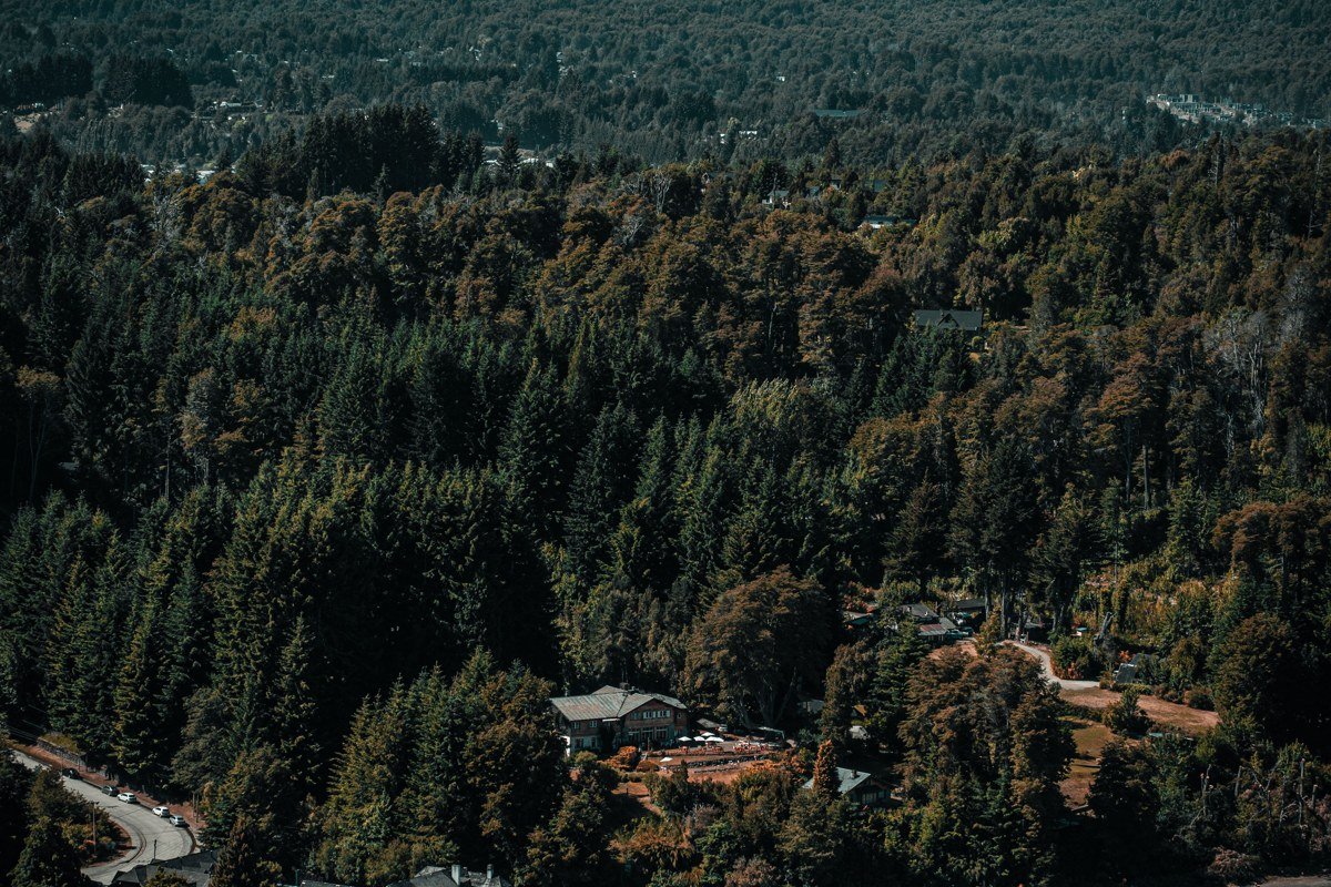
Caleta Tortel is technically reachable by road now, but the most interesting way in is by boat along the Baker River delta or via the ferry system that threads through the Patagonian fjords. The entire town has no streets, only a network of elevated cypress boardwalks built over the water and rock, and the effect from above looks like something designed for a film set. It functions as the southern hub for accessing the northern reaches of the Baker River and the junction zone where the river meets the sea.
The best excursion from here is a small boat charter to Isla de los Muertos, a remote island with a haunting history tied to the laborers who died during early colonization-era work camps in the Baker region. Visit in late November before the high-season passenger ferries arrive and you will have those boardwalks almost entirely to yourself.
4. Fitz Roy Massif via Laguna de los Tres, Argentina
Access method: Foot
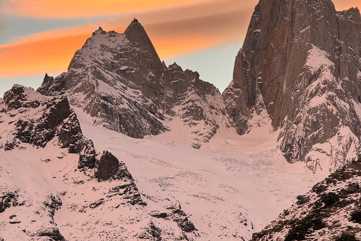
The Laguna de los Tres viewpoint is famous enough that it edges toward crowded by Patagonia standards, but the access is genuinely earned. The final ascent is a loose scree scramble that gains several hundred meters in under a kilometer and turns back a meaningful percentage of people who start it. What you reach is a small glacial lake positioned directly beneath the Fitz Roy massif, and on a clear morning the granite towers reflect almost perfectly in the water.
A lesser-known extension worth considering is the Laguna Piedras Blancas circuit, which branches north from the main Fitz Roy trail before you reach the Laguna de los Tres approach. It passes a glacier with active calving and sees a fraction of the foot traffic, making it a better candidate for a quieter second day than simply retracing the main route.
The critical timing detail is that Fitz Roy is cloud-covered most of the time. Staying two or three nights in El Chalten and treating the summit day as opportunistic, rather than fixed, is the only reliable strategy.
5. Puerto Eden, Chile
Access method: Boat
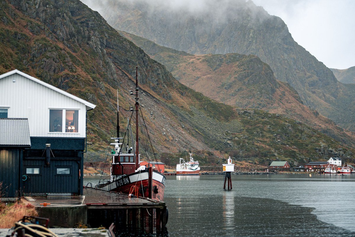
Puerto Eden is one of the most isolated permanent settlements in South America, sitting deep inside the Magallanes fjord system with no road connection to anything. The only scheduled access is the Navimag ferry running between Puerto Montt and Puerto Natales. As of recent seasons, the ferry departs Puerto Montt roughly once weekly during the austral summer, with berth prices typically ranging from around USD 400 for a basic bunk to over USD 1,000 for a private cabin, depending on the vessel configuration and season. Confirm current schedules and pricing directly at navimag.com, as the service has adjusted routing and frequency in recent years.
The journey takes several days through channels that are genuinely difficult to navigate even for experienced crews, passing Parque Pumalin, the Gulf of Penas, and Bernardo O’Higgins National Park. The town itself has a few hundred residents, including a small population of indigenous Kawesqar people whose presence here represents one of the last living connections to the canoe-culture peoples who once ranged across the entire fjord system. The Municipalidad de Puerto Eden has supported limited community tourism contact in recent years. Asking the Navimag crew about current Kawesqar community initiatives before you dock is the most reliable way to get up-to-date information, as formal programming has varied season to season.
Walk the short boardwalk trails into the surrounding forest and sit with the scale of the fjords. The Navimag trip itself works as a legitimate alternative to flying directly to Punta Arenas.
6. Reserva Nacional Jeinimeni, Chile
Access method: Foot + Boat
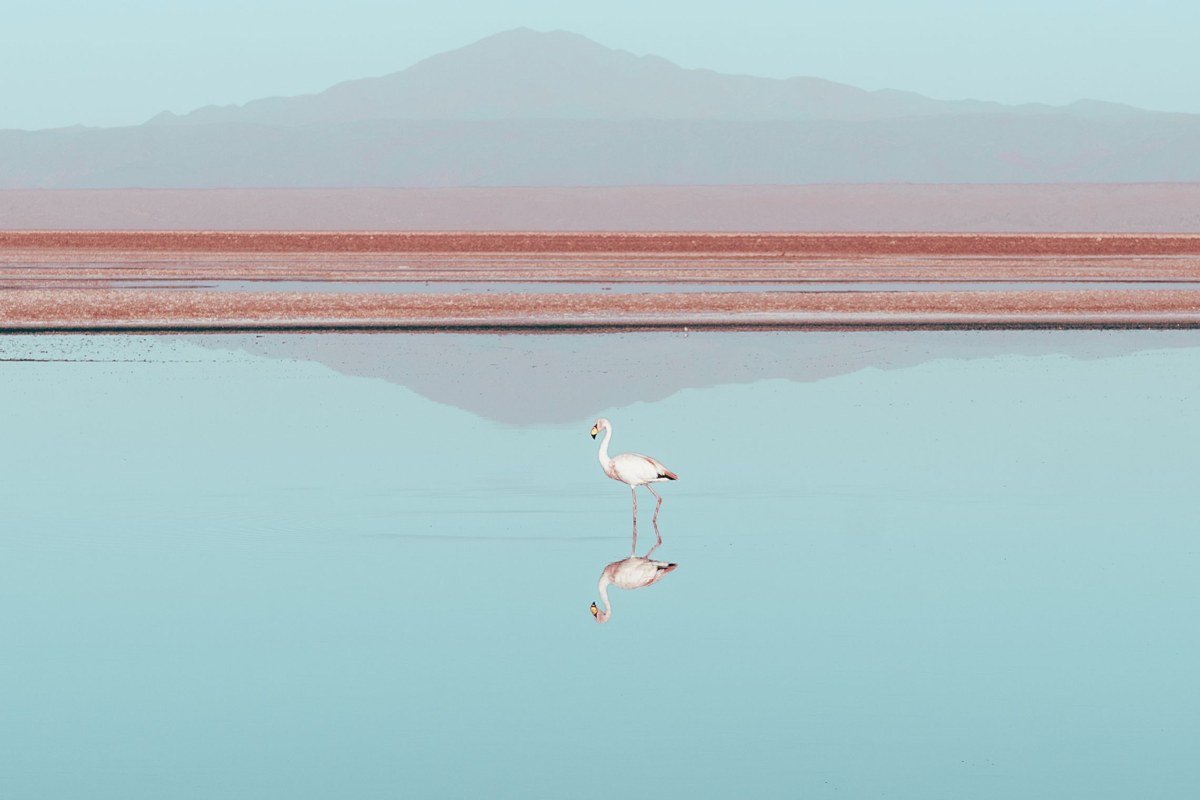
Most people driving the Carretera Austral skip Jeinimeni because it requires a border-region permit and a vehicle capable of fording a river at the entrance. Get past that and you find flamingos on turquoise lakes surrounded by burnt-orange volcanic rock, a combination that should not exist at this latitude. A multi-day circuit connects through to Patagonia Park (formerly Chacabuco Valley), covering terrain that ranges from high-altitude desert to valley-floor wetland inside a single route.
The trade-off is that trail markings are inconsistent. A GPS track downloaded in advance is not optional; it is genuinely necessary. Visit in December or January when the flamingos are actively nesting and the river crossing at the entrance is at its lowest.
7. Isla Navarino, Chile
Access method: Boat / Foot
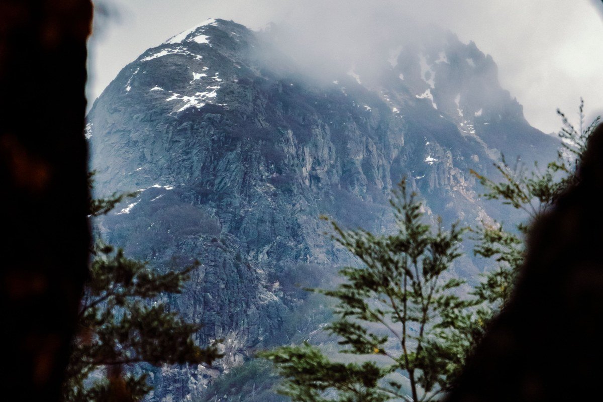
Isla Navarino sits below Tierra del Fuego and requires a ferry from Punta Arenas or a small plane to Puerto Williams, the southernmost permanent town on the planet. The Dientes de Navarino circuit takes four to five days and is the southernmost trekking route in the world, with no refugios and no signage for much of its length. The scenery is aggressively unconventional: quartzite spines, peat bogs, and sub-antarctic beech forest stripped horizontal by wind. The photographs from the high passes are unlike anything in the rest of Patagonia.
The honest trade-off is that weather windows here are shorter and more violent than at Torres del Paine. A failed attempt that leaves you storm-pinned for two days is not an unusual outcome. Carry at least one extra day of food and register your route with the Carabineros in Puerto Williams before you start.
8. Ventisquero Yelcho, Chile
Access method: Boat + Foot
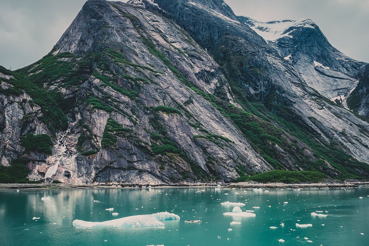
The Yelcho Glacier feeds into a lagoon at the northern end of Lago Yelcho, accessible only by a combination of boat and a short forest trail that is frequently overgrown and unmarked. The lagoon holds floating ice year-round and is surrounded by temperate rainforest so dense that midday light reads as a permanent green dusk. Kayaking is the correct vehicle here.
For guided access, the regional tourism board for the Los Lagos region (Sernatur Los Lagos, based in Puerto Montt) maintains a current list of licensed operators working out of Chaiten. At the time of writing, small adventure outfitters in Chaiten have offered guided glacier paddles seasonally, though operator continuity in this area has shifted since the 2008 Chaiten volcano eruption. Contact Sernatur Los Lagos directly or ask at the Chaiten municipality office to confirm which operators are currently active before booking travel around a specific company.
The 2008 eruption is still visibly present in gray volcanic deposits along parts of the river valley, which adds an unexpected layer of geological context to the landscape. Come in February when rainfall is statistically lowest and the glacier is most actively calving.
9. Cabo Froward, Chile
Access method: Foot
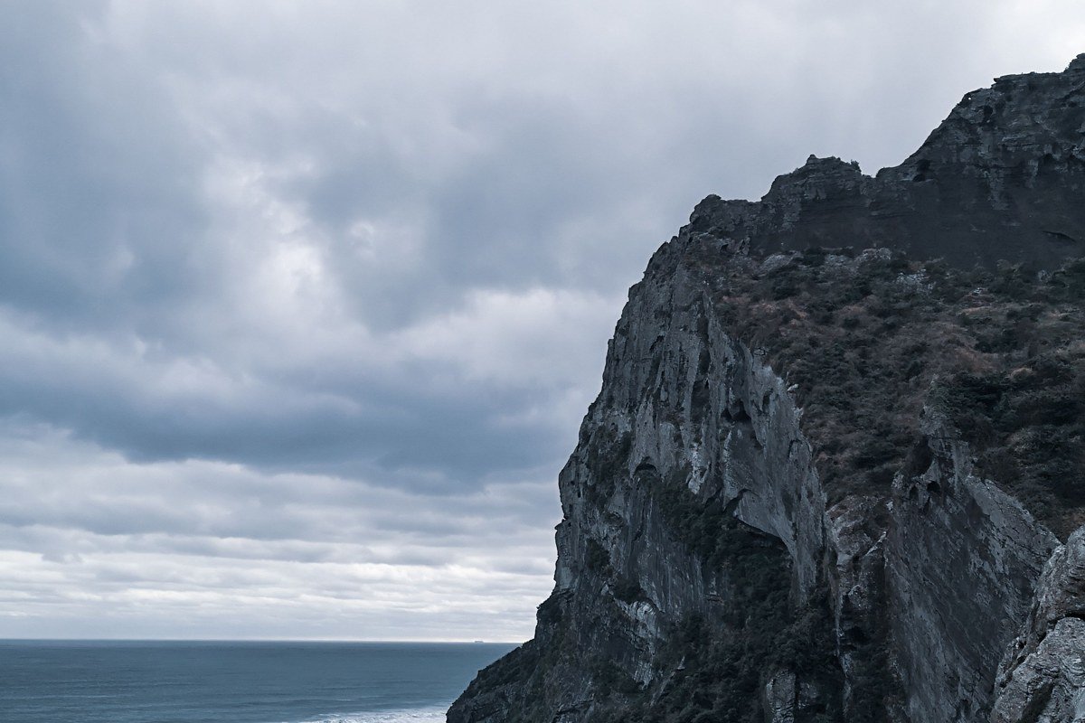
Cabo Froward is the southernmost point of the South American mainland, a distinction that sounds simple until you look at how to reach it. The trek starts near Fuerte Bulnes, about 60 kilometers south of Punta Arenas, and takes three to four days of coastal hiking with several river crossings and no established camping infrastructure beyond some basic shelters. The headland itself is a sheer cliff with a large metal cross erected by the Chilean Navy, and standing there in the Strait of Magellan wind with nothing to the south except ocean is genuinely difficult to over-romanticize.
Hire a local guide from Punta Arenas. Coastal trail conditions change seasonally, and some sections require tide timing to be passable. This is one of the most underrated adventure objectives in Patagonia, and the fact that almost no one outside Chile has heard of it is the entire point.
Before You Go: Practical Takeaways
Permits and reservations for Chilean national parks (managed through CONAF) and Argentine parks (managed through Administracion de Parques Nacionales) often open months in advance and sell out without announcement. Do not assume availability.
Weather in Patagonia operates on its own logic. A week-long itinerary with zero buffer days will almost certainly leave you missing something significant. Build in at least two extra days on any trip longer than five days.
Connectivity is genuinely sparse across most of these locations. A GPS device with pre-loaded offline maps and a satellite messenger (Garmin inReach or similar) is worth carrying on any route outside the main W Trek infrastructure.
Gear weight matters more here than almost anywhere else because trail conditions can flip from dry to waterlogged in under an hour. Waterproof everything, not just your outer layer, and pack your camera gear with the assumption that it will get wet at least once per trip.
The best single piece of advice for any Patagonia trip: arrive in country two days before your trek starts, get your gear aired out, eat a real meal, and adjust to the time zone. Starting a multi-day route jetlagged and underprepared is the single biggest trip-killer in this region, and the mountains there are not particularly forgiving about it.