
At six in the morning on the Gasadalur plateau rim, the Atlantic is invisible below the cloud layer and the village is still sleeping. You are standing at roughly the same height as a low drone pass, grass wet through your boots, and the Mulafossur waterfall is audible before it is visible. When the mist lifts for thirty seconds, the full geometry appears: cliff edge, ocean, waterfall, grass-roofed houses balanced on the rim of nothing. That is the Faroe Islands working as intended, and it is a view that sea level never gives you.
This piece makes the case that the most interesting dramatic landscapes in these islands are only fully legible from elevation, whether that means a ridge trail, a plateau rim, or a drone at 80 meters. Starting in May 2026, the Faroese Environment Agency is piloting a new drone-registration checkpoint at Vagar Airport, where operators must show valid EASA Open Category documentation before clearing customs with equipment. That procedural change is worth building into your planning now.
1. Gasadalur Waterfall and Village Plateau
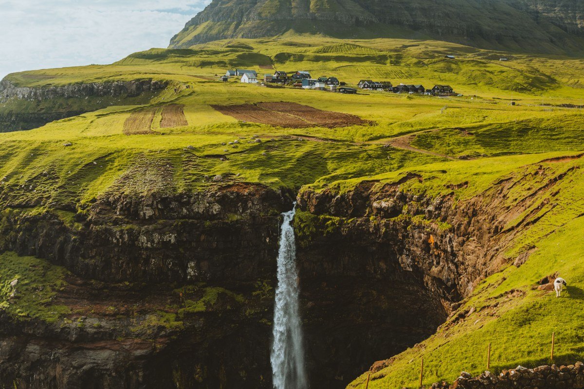
Gasadalur sits on the island of Vagar and contains the Mulafossur waterfall, which pours directly over a basalt cliff into the Atlantic. From the road below or the old hiking path, you see a pretty waterfall. From a drone at roughly 80 meters, or from the ridgeline above the village, the entire composition becomes clear: a cluster of grass-roofed houses perched on a leveled plateau, ringed on three sides by cliff drops, with the waterfall as a punctuation mark on the western edge.
The best approach is the old pre-tunnel trail from Bour, which delivers you to the village rim at approximately the same altitude as a low drone pass, giving you that elevated frame without any equipment. Arrive before 9 a.m. in June or July when the morning light hits the falls at a low angle and the village is still fog-draped.
Skip if: you are arriving directly from the airport and have under two hours before your next connection. The Bour trail takes ninety minutes round trip at a reasonable pace and the viewpoint loses most of its drama if you are rushed.
2. Sorvagsvatn (Sørvágsvatn) Lake Over the Ocean Illusion
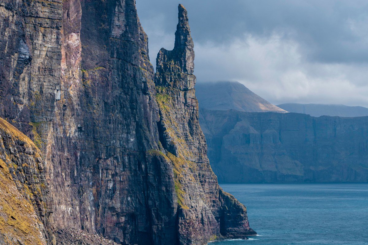
This is the lake that looks, from one precise elevated angle, like it floats high above the sea surface. The illusion is a trick of perspective created by the cliff geometry below, and it only works from a specific point on the Traelanipa trail on Vagar. At sea level or from a boat, Sorvagsvatn looks like a completely ordinary inland lake.
Climb the Traelanipa (“Slave Cliff”) trail to the promontory and suddenly the foreground drops away and the lake appears to be suspended in midair. The math is part of what makes it interesting: the lake surface sits at approximately 30 meters above sea level, while the cliff face beneath the viewpoint drops roughly 100 meters to the ocean below. The visual effect is that the lake appears to overhang the sea by a factor of three, which is physically impossible and yet entirely convincing.
Drone footage confirms the actual topography for anyone who needs the illusion explained rather than experienced. The hike has been guided-only since 2019 to protect the landscape, so book through a licensed Faroese operator in advance, particularly between May and August when permits fill weeks out.
3. Vestmanna Bird Cliffs from the Plateau Edge
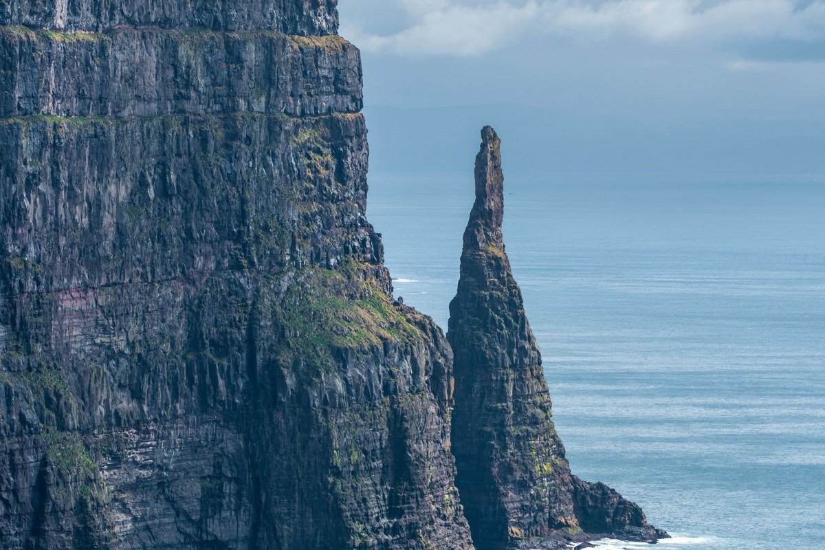
Most visitors take the boat tour into the Vestmanna sea caves and look up at these cliffs from the water, which is genuinely spectacular. What fewer people do is hike to the top of the cliff system and look down. The plateau edge above Vestmanna on Streymoy drops sheer into the Atlantic for several hundred meters, and from the rim you are looking directly down at the nesting ledges of guillemots, razorbills, and puffins on a scale that a boat perspective compresses into a wall of rock. The full arc of the fjord mouth and the layered basalt columns only become legible from above.
The cliff-top route is unmarked and the plateau is often obscured by cloud before noon, so plan your hike for early afternoon and carry a compass because GPS can lag in heavy overcast. This is a genuinely exposed scramble in places.
Skip if: you have under four hours total or conditions are below 8 degrees Celsius with wind above 10 meters per second. The combination of wet basalt and unguarded cliff edges is not a situation to negotiate when cold is affecting your grip or judgment.
4. Saksun Tidal Lagoon and Turf Church Basin
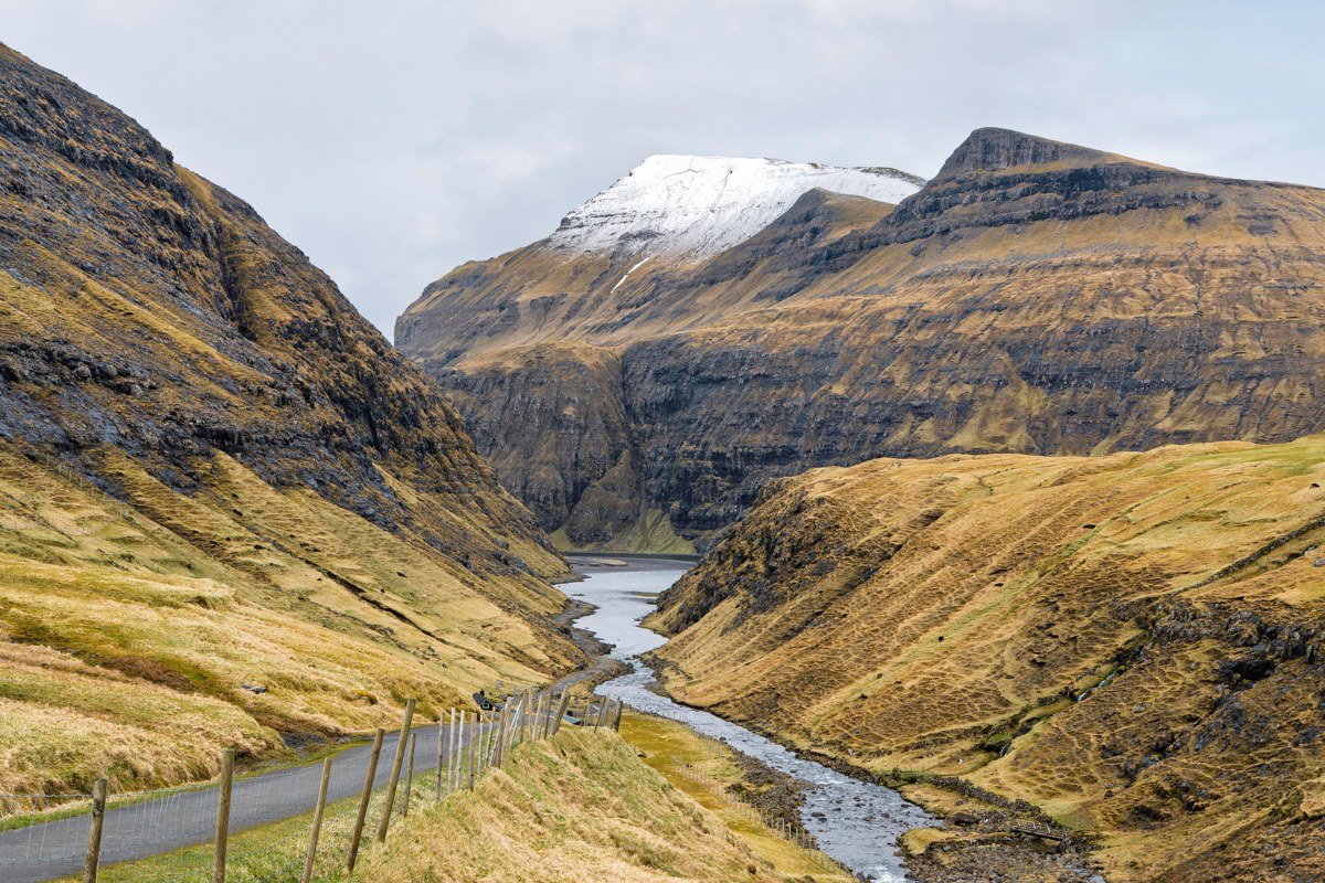
Saksun on Streymoy is famous at ground level for its turf-roofed farmstead and the lagoon that shifts dramatically with the tide. From above, the reason for the village placement becomes immediately obvious: it sits inside a near-perfect volcanic bowl, with a narrow ocean inlet as the only opening. At high tide the lagoon fills and mirrors the surrounding mountains. At low tide it drains into a mudflat that reflects pale light in a completely different way.
A drone or the rim trail above the valley shows both the bowl geometry and the checkerboard of small cultivated plots that have existed here for centuries. The single best moment is the two-hour window around high tide on a clear evening in late May, when the lagoon surface turns silver-pink and the turf roofs glow green against it.
5. Slattaratindur Summit Ridge, Eysturoy
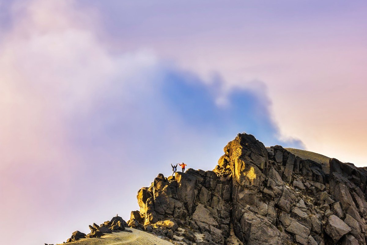
Slattaratindur is the highest point in the Faroe Islands, topping out at 882 meters on the island of Eysturoy. The summit ridge is narrow enough that you are essentially walking a natural viewing platform with sheer drops on both sides. On a clear day you can pick out Kunoy and Borðoy rising to the northeast, and on exceptional days the Enniberg cliff face above Hattarvik on Vidoy resolves clearly enough to read its vertical structure. The scale of the inter-island sound system, the straits and channels between landmasses, only becomes comprehensible from this altitude. The mountain does the work; no drone is actually necessary.
The trade-off is access. The ascent from Gjogv takes three to four hours round trip and the upper section involves hands-on scrambling over loose scree. It is entirely unsuitable in wet or windy conditions, which in the Faroes is statistically more common than not.
6. Trondisvik Abandoned Settlement, Vidoy
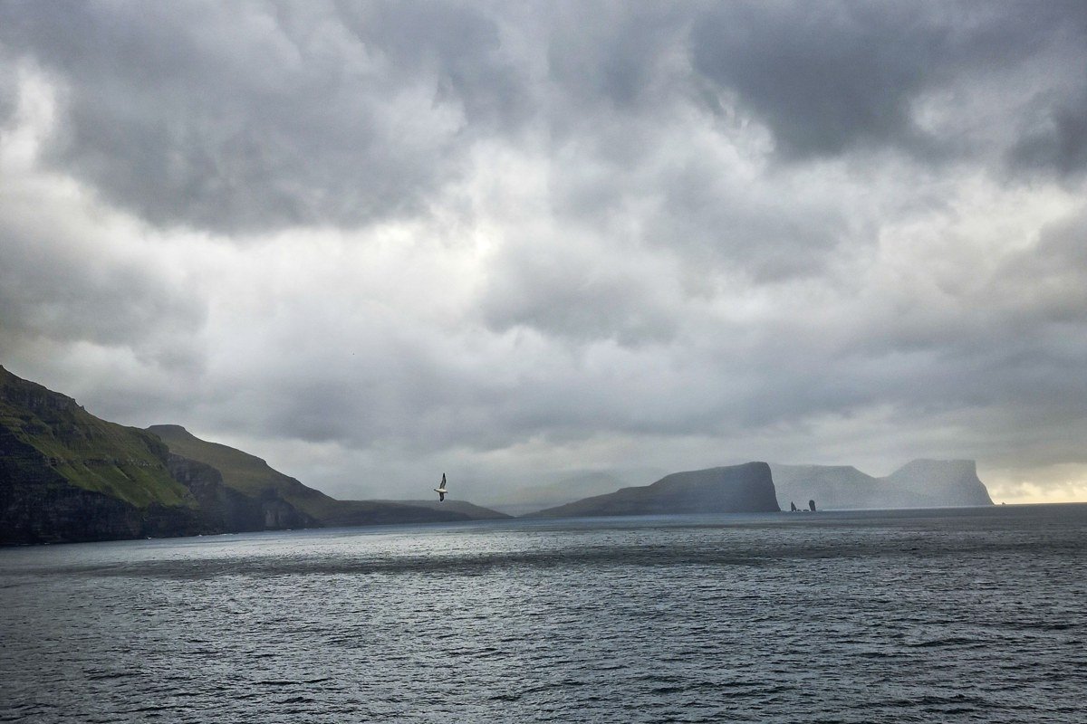
Trondisvik is a former fishing settlement on the northeastern tip of Vidoy that was abandoned in the mid-20th century. At ground level the ruins are poignant but modest: stone foundations returning to grass. From a drone or the hillside behind the settlement, the full isolation of the site becomes visceral. The headland juts into open North Atlantic, the ruins form a loose grid on green turf, and the nearest inhabited village is a serious walk across rough terrain.
There are no tourist facilities, no signage, and no maintained trail. Getting here requires a boat or a long hike from Vidareidi. Note that Vidoy has no direct ferry connection from Torshavn; access runs via Klaksvik, which adds meaningful planning time to the journey. That combination of ferry logistics and hiking effort filters the crowds entirely. The best light on the headland arrives in the long-angled evenings of midsummer when the north light skims the ruins horizontally.
7. Oknadalur Valley Chevron Patterns, Streymoy
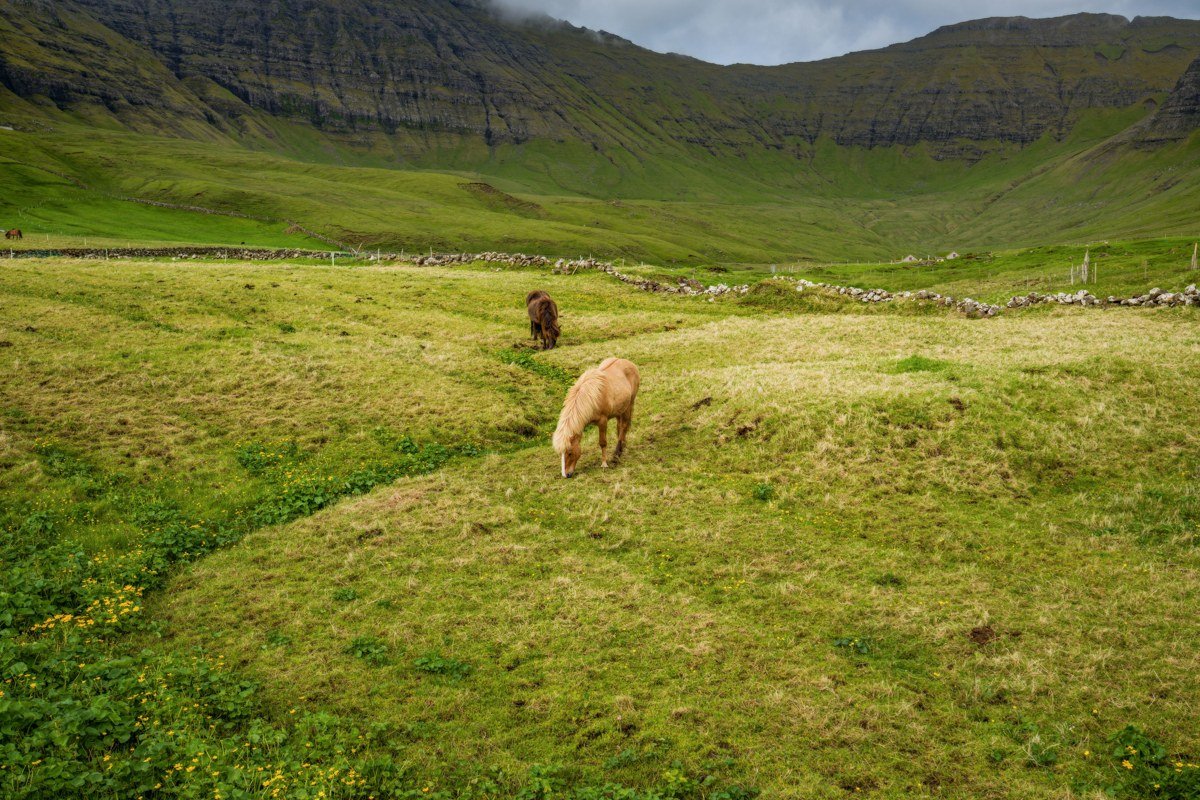
Oknadalur is not on most itineraries, which is precisely why it belongs on this list. The valley cuts into central Streymoy and, seen from its rim or from drone altitude, reveals a series of angular field boundaries and ridge lines that form almost geometric chevron patterns across the landscape. These are the result of centuries of agricultural division combined with the natural layering of basalt geology. At valley level you see individual fence lines and stone walls. From above, the overall pattern is something between a topographic map and a textile.
A short drive from Torshavn makes this accessible as a half-day detour. The optimal perspective comes from the northern rim of the valley where a rough 4WD track gets you within a ten-minute walk of the edge.
8. Beinisvord Cliffs, Suduroy
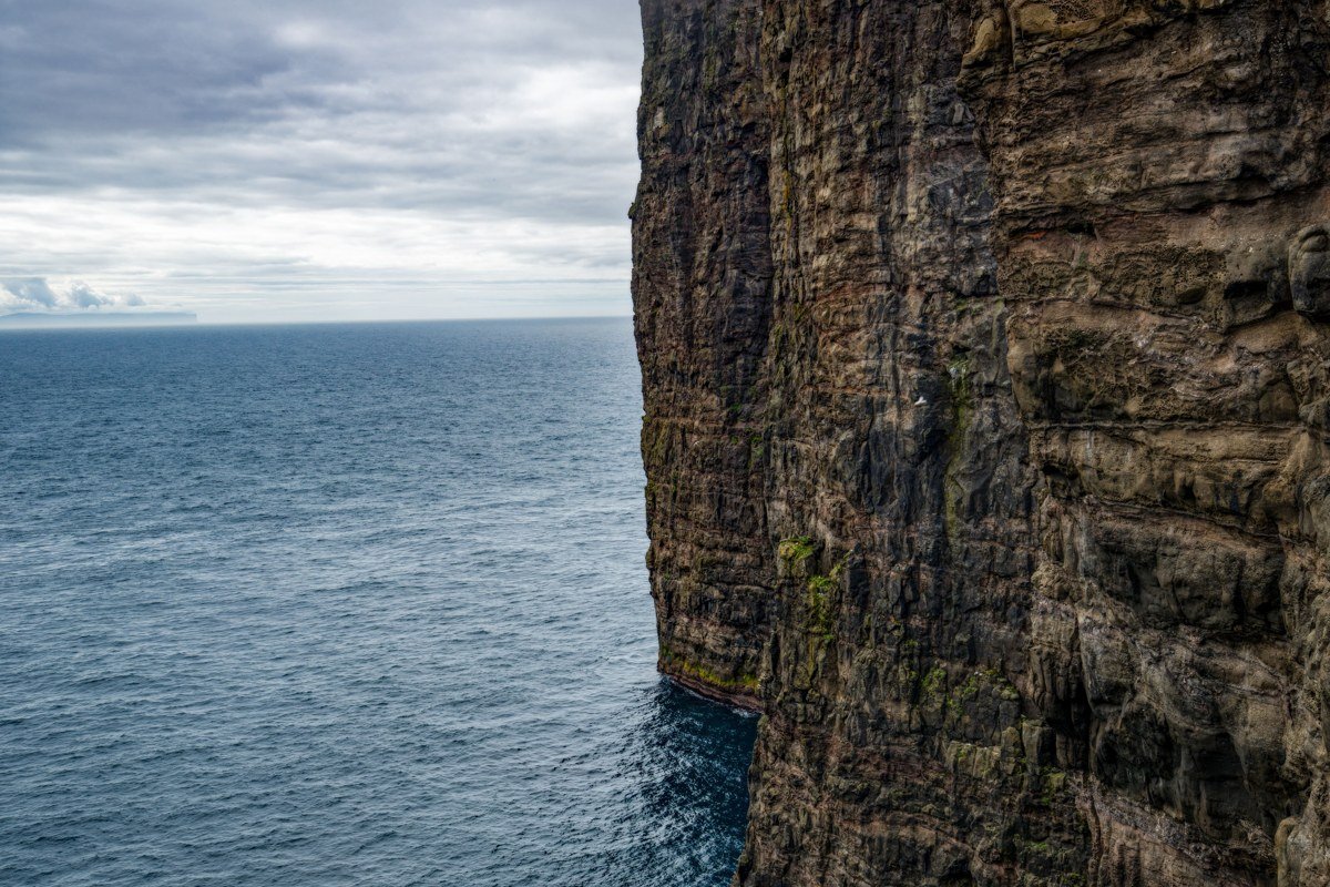
Suduroy is the southernmost island in the archipelago and the one fewest travelers reach. The ferry from Torshavn departs from the Drelnes terminal and takes around two hours each way; book your return crossing the same morning you travel, or plan an overnight, because the last sailing fills quickly and there is no bridge alternative. The Beinisvord cliff system on Suduroy’s western coast drops somewhere in the range of 450 meters, making it one of the tallest uninterrupted sea cliff faces in the Faroes. From the cliff-top path running south from Lopra, the geometry is overwhelming: perfectly vertical basalt columns descend to a churning base with no beach or shelf to soften the transition.
Drone footage here in overcast conditions produces some of the most interesting results because flat light removes shadow and lets the column structure dominate. Budget at least one full day on Suduroy rather than treating it as a quick excursion.
Skip if: you have a fixed afternoon flight from Vagar. The ferry schedule and the walk to Beinisvord do not compress into a half-day without cutting the experience to nothing.
9. Kallur Lighthouse Ridge, Kalsoy
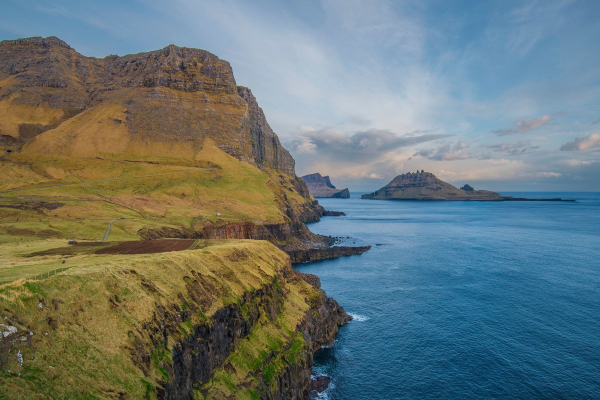
Kalsoy is a long, narrow island sometimes called “the flute” for its shape, pierced by a series of single-lane tunnels connecting its four villages. The trail to Kallur lighthouse at the northern tip is one of the most dramatic ridge walks in the archipelago, and it is the one where the relationship between sea level and elevation is most kinetically felt. The path runs along a spine with cliffs dropping hundreds of meters on both sides, with the lighthouse appearing ahead as an almost impossibly small object against open sky and ocean.
From the lighthouse and the ridge immediately behind it, looking back south along the island’s spine, the full flute shape becomes visible: a narrow ribbon of green rock stretching away with water on every side. The hike is roughly four kilometers round trip from Trollanes village but involves sustained exposure to wind. Check conditions in Trollanes before setting out and turn back without guilt if gusts are above 15 meters per second, which happens regularly.
Practical Takeaways for 2026
Drone rules in the Faroe Islands are governed by EU aviation regulations. The islands are a self-governing territory within the Kingdom of Denmark, and EASA Open Category registration applies. A new documentation checkpoint at Vagar Airport is being piloted from May 2026, so carry printed or downloaded proof of registration and category compliance. Always verify current EASA rules before travel since enforcement has tightened since 2023.
The islands run a visitor management program called “Closed for Maintenance, Open for Volunteers” at several high-traffic sites. Check the official Visit Faroe Islands portal before confirming your itinerary because some locations close seasonally for conservation work.
The ideal window is late May through mid-July for maximum daylight (the sun barely sets near midsummer) combined with the best odds of a clear spell between Atlantic fronts. September offers dramatic cloud and fewer visitors but shorter windows of usable light. Book accommodation six months out: the islands have fewer than 700 hotel rooms across the entire archipelago and demand from aerial photographers and Pinterest-driven travelers has compressed availability significantly.
The single most important gear choice for elevated trail photography here is not your camera body. It is waterproof, ankle-supporting footwear. The basalt is wet roughly 280 days a year and every elevated perspective on this list requires crossing it.