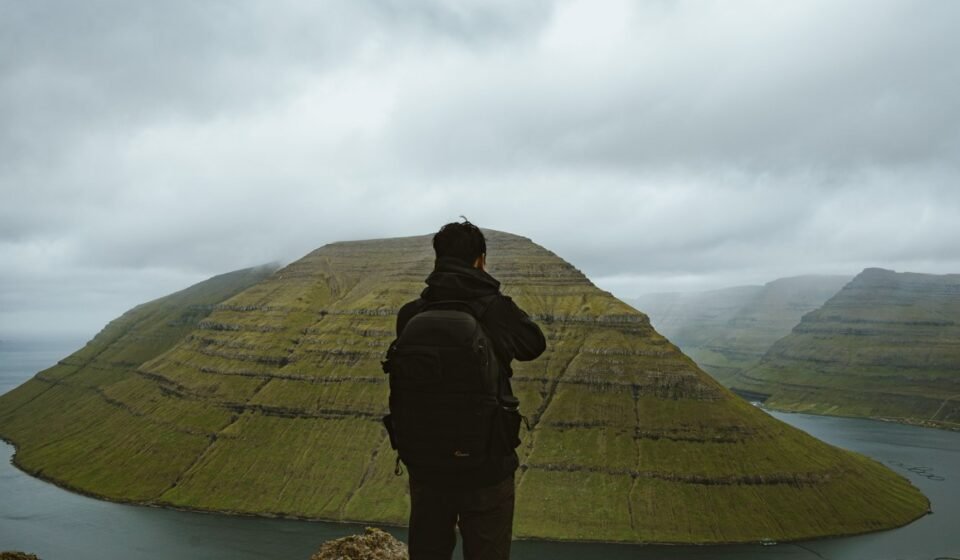

The Faroe Islands sit in the North Atlantic like a set of broken teeth jutting from the ocean floor, and that is precisely why they matter. This small archipelago delivers coastal drama so concentrated and so unfiltered that photographers and hikers who have already done Iceland, Patagonia, and the Scottish Highlands still come away shaken. These eight formations are the reason why.
1. Drangarnir Sea Arch, Vagar
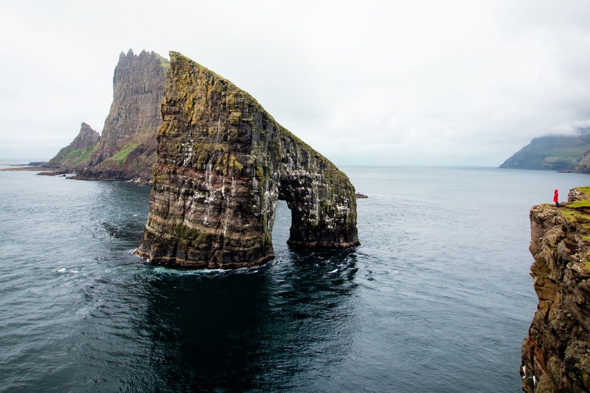
Drangarnir is two connected basalt stacks standing offshore from Vagar, and the larger of the two has a natural arch worn through its base at water level. That arch frames a slice of open Atlantic so cleanly that every composition looks intentional. Getting there requires a roughly two-hour hike from the trailhead near Sorvagur, crossing the ridge above Lake Sorvagsvatn before descending toward the coast. The trade-off is honest: the trail is unmarked in places and the final descent to the cliff edge is steep and loose, so trekking poles are not optional theatrics here. Hit it in the golden hour before 10 p.m. in midsummer when the low sun cuts horizontally through the arch and turns the basalt columns amber.
2. Enniberg Cliff, Vidoy
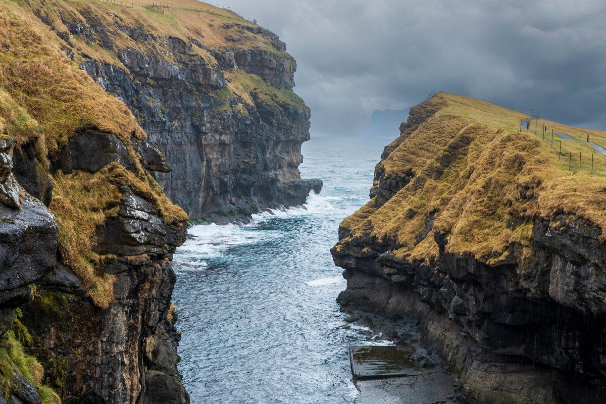
Enniberg rises to approximately 754 meters and is considered among the tallest sea cliffs in the world, though the precise ranking shifts depending on methodology and measurement point. Standing at the top confirms why the number feels inadequate regardless. The cliff face is not a gradual slope or a broken escarpment. It is essentially vertical, dark, and continuous, with the sea so far below that swells look motionless. Vidoy is a smaller island requiring a ferry and then a drive up a single-lane road, which keeps the foot traffic low enough that you may have the viewpoint entirely to yourself. Come in late spring when the grass at the edge is still short and the nesting seabirds are active on the ledges below, turning the cliff face into something almost alive.
3. Mulafossur Waterfall and Cliffs, Gasadalur, Vagar
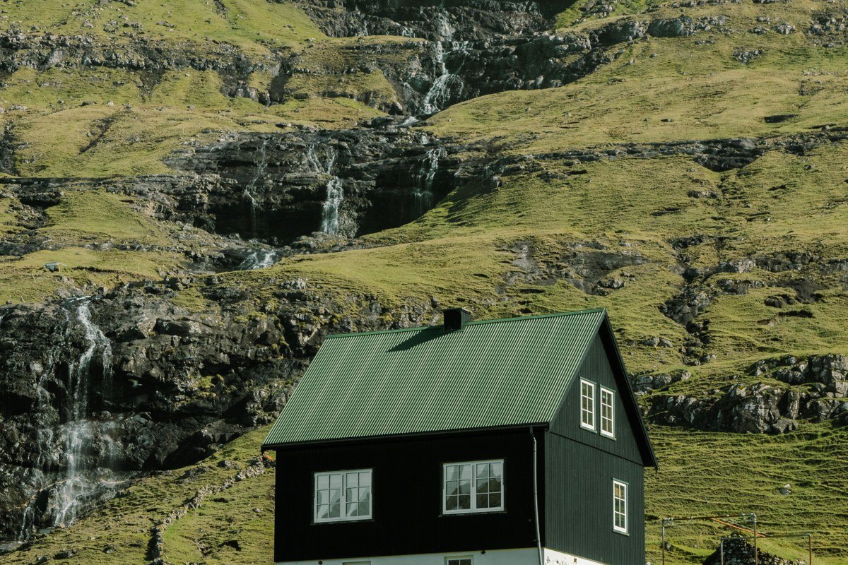
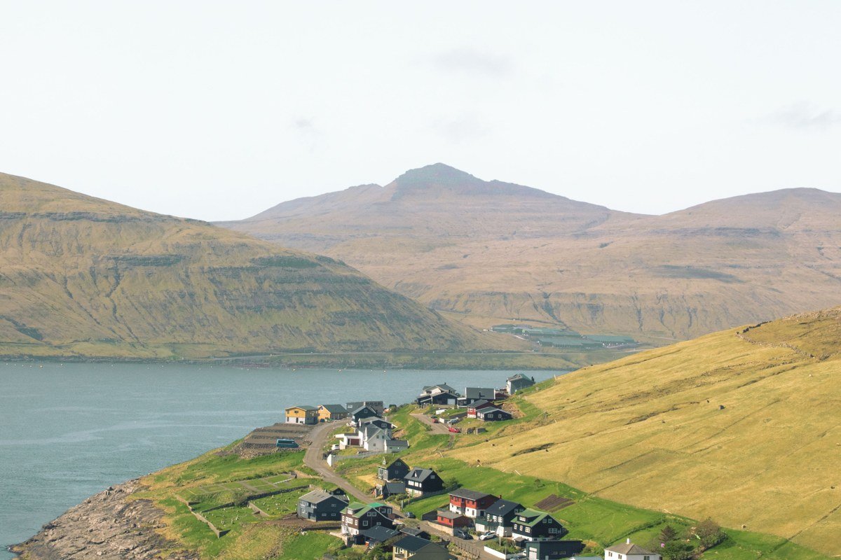
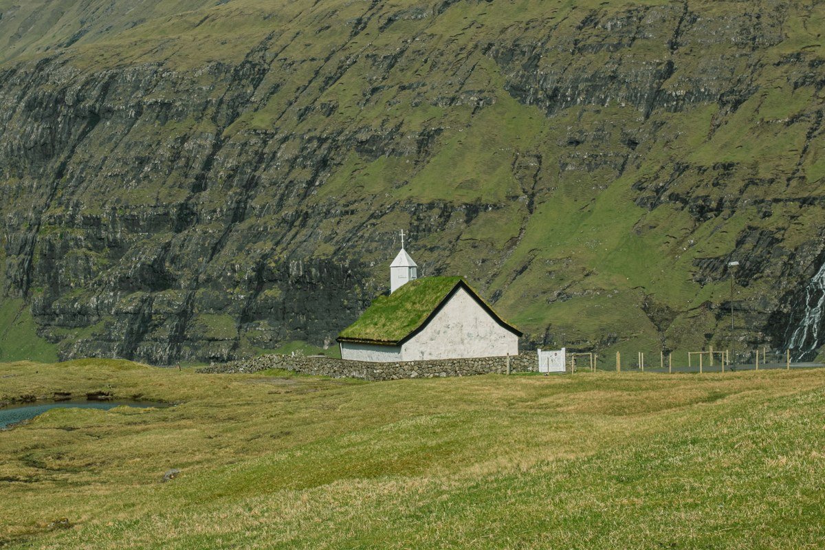
The village of Gasadalur only became road-accessible in 2004, when a tunnel was blasted through the mountain. Before that, residents hiked over a mountain pass to reach the nearest town, and that isolation shaped the place. Mulafossur, the waterfall that drops directly from the plateau edge into the ocean just below the village, is the image that made Gasadalur recognizable to the rest of the world, and it earns that reputation. The combination of green turf, colored rooftops, and raw cliff makes it feel more like a film set than a living place. The photography angle that works best is from the marked viewpoint trail above and to the west of the village, where you can fit Mulafossur, the stacks offshore, and the horizon into a single frame. Fog rolls through this valley frequently, and a partially obscured scene here is often more compelling than a fully clear one.
4. Vestmanna Bird Cliffs, Streymoy
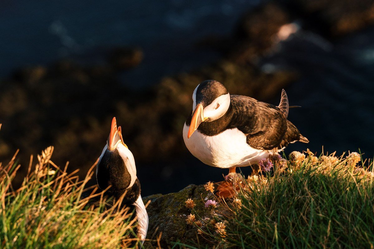
The Vestmanna cliffs are best experienced from the water, which means booking a boat tour out of the small harbor town of the same name. The cliffs rise several hundred meters and are honeycombed with ledges that host guillemots, razorbills, kittiwakes, and Atlantic puffins in breeding season between May and August. From a boat that threads through the narrow sea caves at the cliff base, the scale becomes genuinely disorienting. The rock overhead blocks the sky entirely in some passages, and you emerge back into open water with the odd sensation of having been inside something that should not be navigable. Book the tour for a morning slot when the light comes from the east and illuminates the cliff face directly rather than leaving it in shadow.
5. Kallur Lighthouse Point, Kalsoy
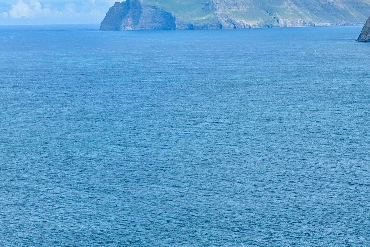
Kalsoy is a narrow sliver of an island with four villages connected by a single road that passes through a series of short tunnels, some of which are barely wide enough for one vehicle. The hike to the Kallur lighthouse at the island’s northern tip takes around 45 minutes each way from the village of Trollanes, and the ridge walk exposes you to drop-offs on both sides simultaneously. At the tip, the lighthouse sits on a narrow headland with sea stacks visible in the water directly below on three sides. The sea stack formations here are less visited than Drangarnir but comparably dramatic, and the hike is achievable for most people with reasonable fitness. The ferry from Klaksvik runs a limited schedule, so check the last departure time before you leave Trollanes. Missing it does not mean a long wait. It means an unplanned overnight on an island with no accommodation infrastructure.
6. Beinisvord, Suduroy
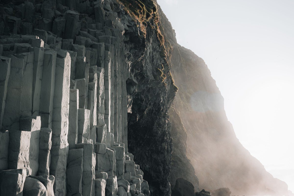
Suduroy is the southernmost island in the Faroe Islands and the one that feels most off the tourist grid. Beinisvord is a cliff face on its western coast that runs for several kilometers without interruption, reaching heights that rival Enniberg but without the crowd, which on Suduroy means going from perhaps a dozen visitors to none. The basalt here has a particularly pronounced columnar structure, with vertical formations stacked so precisely they look quarried. A rough coastal path allows you to walk the clifftop for an extended stretch, giving you a changing angle on the columns and the sea below. Suduroy also tends to be drier than the northern islands during summer, a function of its position relative to the prevailing weather systems, which makes it a useful destination when the forecast elsewhere is marginal. The island requires a two-hour ferry from Torshavn, but that crossing is itself worthwhile, passing smaller islets and giving you a sense of the archipelago’s spread.
7. Risin og Kellingin, Eysturoy
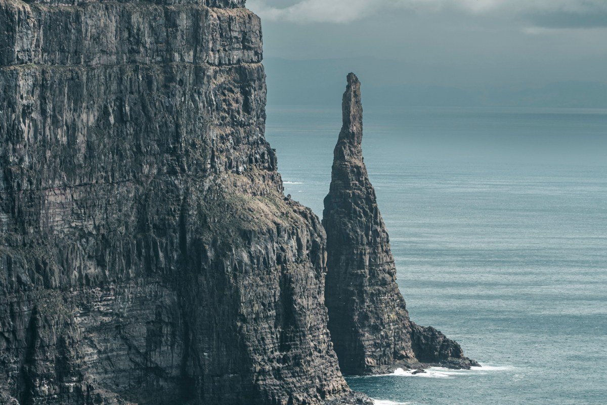
These two sea stacks standing off the northern coast of Eysturoy are known locally as “the Giant and the Witch,” and a Faroese legend explains their presence as turned-to-stone figures from a failed attempt to drag the islands back to Iceland. That story fits the stacks well. They are tall, separate, and clearly individual in character. One is broader and one is narrower. They catch early morning light from the east in a way that makes a long-exposure shot from the cliff above essentially compose itself. The viewpoint is accessible by road and a short walk, which makes it the most approachable location on this list. Being easy to reach has not diminished it. The stacks erode visibly over geological time and the thinner one has already shown cracking, which gives the site an urgency that more stable formations lack.
Bonus: Slaettaratindur Ridge Approach, Eysturoy
This entry sits outside the cliff-and-stack category, but the ridge approach to Slaettaratindur, the highest point in the Faroe Islands at 882 meters, earns a mention for what it shows rather than what it is. The upper sections of the ridge look directly down onto cliffs dropping to Funningsfjordur, a fjord so geometrically precise it looks drawn. From the summit on a clear day you can see multiple islands simultaneously, each edged in cliff and separated by water, which gives you the fullest possible sense of what the Faroese coastal landscape actually is as a system rather than as individual sites. The hike is non-technical but exposed to wind at the top, and wind in the Faroes is not metaphorical. A guide is worth hiring if you have not done exposed ridge walking before.
Getting There and Making It Work
Atlantic Airways flies into Vagar Airport from Copenhagen, Reykjavik, and several other European cities. The check-in hall at Vagar is small enough that the building itself tells you something about how the Faroes operate: efficient, unhurried, and sized for the actual number of people rather than projected optimism. If you are bringing a vehicle, the Norroena ferry departs from Hirtshals in northern Denmark and is a genuine crossing rather than a short hop, which suits the destination. Torshavn is the obvious base, central to the ferry network that connects the northern and southern islands.
The light works best from late May through late July, when the sun barely sets and the golden hour stretches long enough to be genuinely useful. August brings more reliable weather statistically but shorter evenings. Fog is not an enemy here. It changes what a scene is rather than ruining it.
Cliff edges in the Faroes are largely unfenced and the grass near the edge can be slippery even when dry. This is not dramatic overstatement. Stay a body length back from any edge where the ground slopes toward the drop.
A current Faroese sheep road fee applies for hiking several of the premium trails including the Drangarnir route on Vagar. It runs through Visit Faroe Islands and is modest in cost. Pay it. The infrastructure it funds keeps the paths maintained and supports the farmers whose land you cross.
Rent a car, or better, a car for the larger islands and ferry connections for the smaller ones. Public buses exist but run on schedules oriented toward residents rather than cliff-seekers. The tunnel network connecting most of the main islands moves faster than the map suggests. The subsea tunnel linking Eysturoy and Streymoy, opened in 2020, includes what is widely reported as the world’s first underwater roundabout, a detail that says something accurate about how seriously the Faroese take their infrastructure.
The Faroe Islands do not need to be compared to Iceland to justify the trip. But if you have done the Icelandic coast and felt like something was slightly too polished, the Faroes answer that feeling directly. These cliffs are older looking, quieter, and in no hurry to accommodate you.