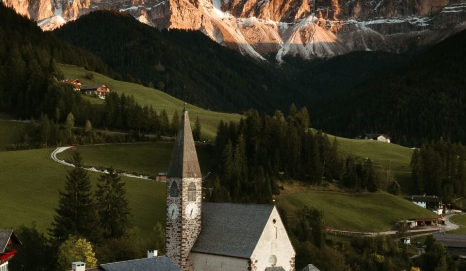

The Faroe Islands do not perform for you. Eighteen islands of basalt, grass, and perpetual Atlantic wind, they reveal their villages slowly, usually behind a curtain of fog that rolls in without warning and stays as long as it likes. “Fairy-tale” is overused in travel writing, but in the Faroese context it earns its place: turf roofs pressing into hillsides, basalt walls black with rain, settlements so isolated they seem to exist at a different point in time, and light that makes the saturated green of the grass look like something a painter would second-guess. If you come hunting for clear skies and postcard conditions, you will be disappointed most of the time and rewarded spectacularly the rest.
1. Saksun
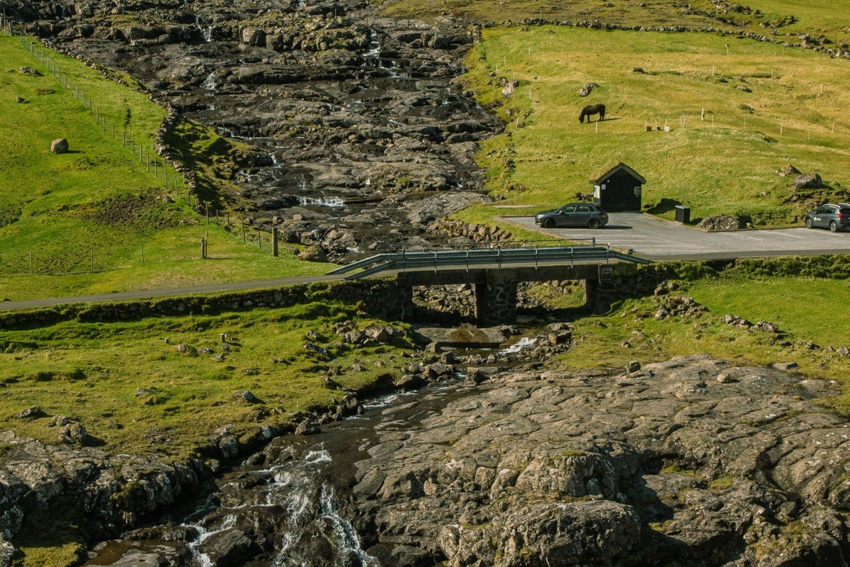
Saksun sits at the end of a single-track road in a drowned glacial valley on Streymoy, and the village is so small and so complete that arriving there feels like stepping into a place that forgot to keep existing after the 13th century. The centerpiece is a turf-roofed church perched above a tidal lagoon that fills and empties with the Atlantic twice a day, turning the approach from a mudflat walk into a kayak crossing depending purely on timing. The light here is genuinely strange: the valley walls catch low cloud and hold it, so even on a relatively clear day the upper ridges vanish into white. Come in late afternoon when the lagoon is filling and the grass on the rooftops glows that particular Faroese green that looks oversaturated even on a raw file. The road into Saksun is not passable for larger rental cars in deep winter, so check conditions before committing.
2. Gasadalur
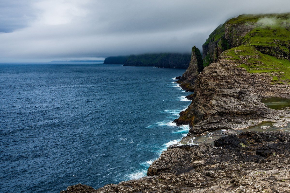
Gasadalur is the village that people photograph from the ridge above, framing the cluster of a dozen houses against the Mulafossur waterfall plunging directly into the ocean. Before a tunnel was blasted through the mountain in 2004, the village was only reachable by a steep footpath over the saddle, and fewer than twenty people lived there full-time then. The drama is obvious from above, but the more interesting photography happens inside the village: narrow stone paths between white-painted houses, vegetable gardens in unlikely spots, sheep standing on rooftops without any apparent concern. The best fog conditions roll in from the southwest, softening the waterfall into a smear of white against dark basalt. Arrive before 9 a.m. if you want the ridge viewpoint without other visitors occupying the exact same rock.
3. Kirkjubour
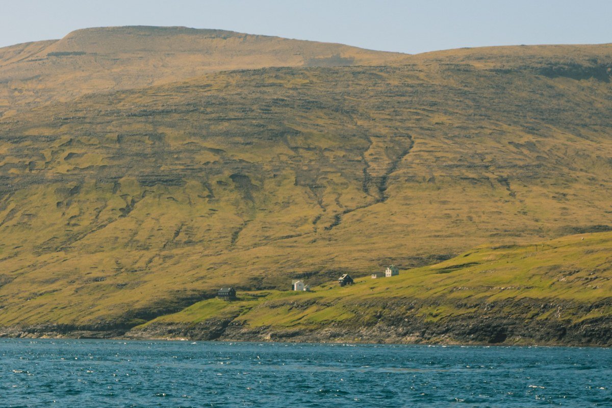
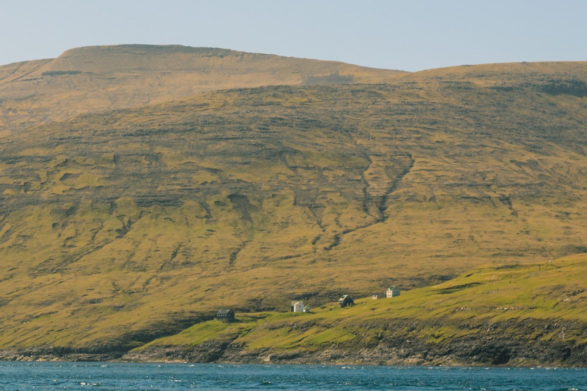
Kirkjubour carries the ruins of Saint Magnus Cathedral, a 13th-century project that was never fully completed, alongside the Roykstovan farmhouse that has been continuously occupied by the same family for around five hundred years. Sitting on the southern tip of Streymoy with a direct view across to Hestur and Koltur islands, the village is exposed in a way that makes weather feel participatory rather than incidental. The ruin walls are open to the sky and fill with fog on damp mornings in a way that makes the carved stonework look freshly uncovered. The farmhouse is open for visits and the family who runs it will give you context that no guidebook matches. This is genuinely one of the rare places on this list where the history is as thick as the atmosphere, not just the scenery.
4. Tjornuvik
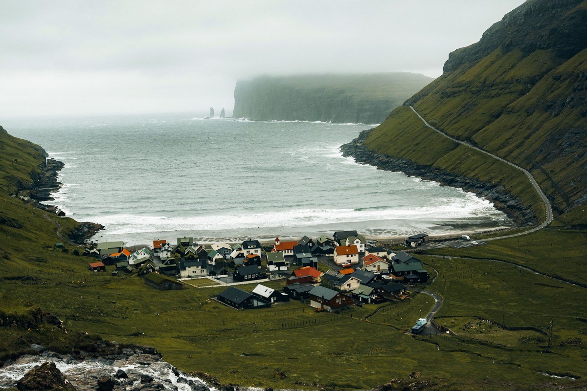
Tjornuvik sits at the northern end of Streymoy facing a black sand beach and two dramatic sea stacks called Risin and Kellingin, a giant and a witch in local legend, standing offshore in whatever weather the North Atlantic is serving that day. The village itself is a scattering of traditional houses on a slope above the beach, with the road ending abruptly at the water. What makes Tjornuvik photographically distinct from other villages on this list is the foreground: the black sand reflects low cloud and the stacks read as silhouettes even in flat light. Swim here only if you genuinely understand cold-water rip currents, but walk the beach at low tide for the most dramatic rock formations. Fog arriving from the north tends to split around the sea stacks before closing in, giving a brief window of partial clarity that is worth waiting for.
5. Funningur
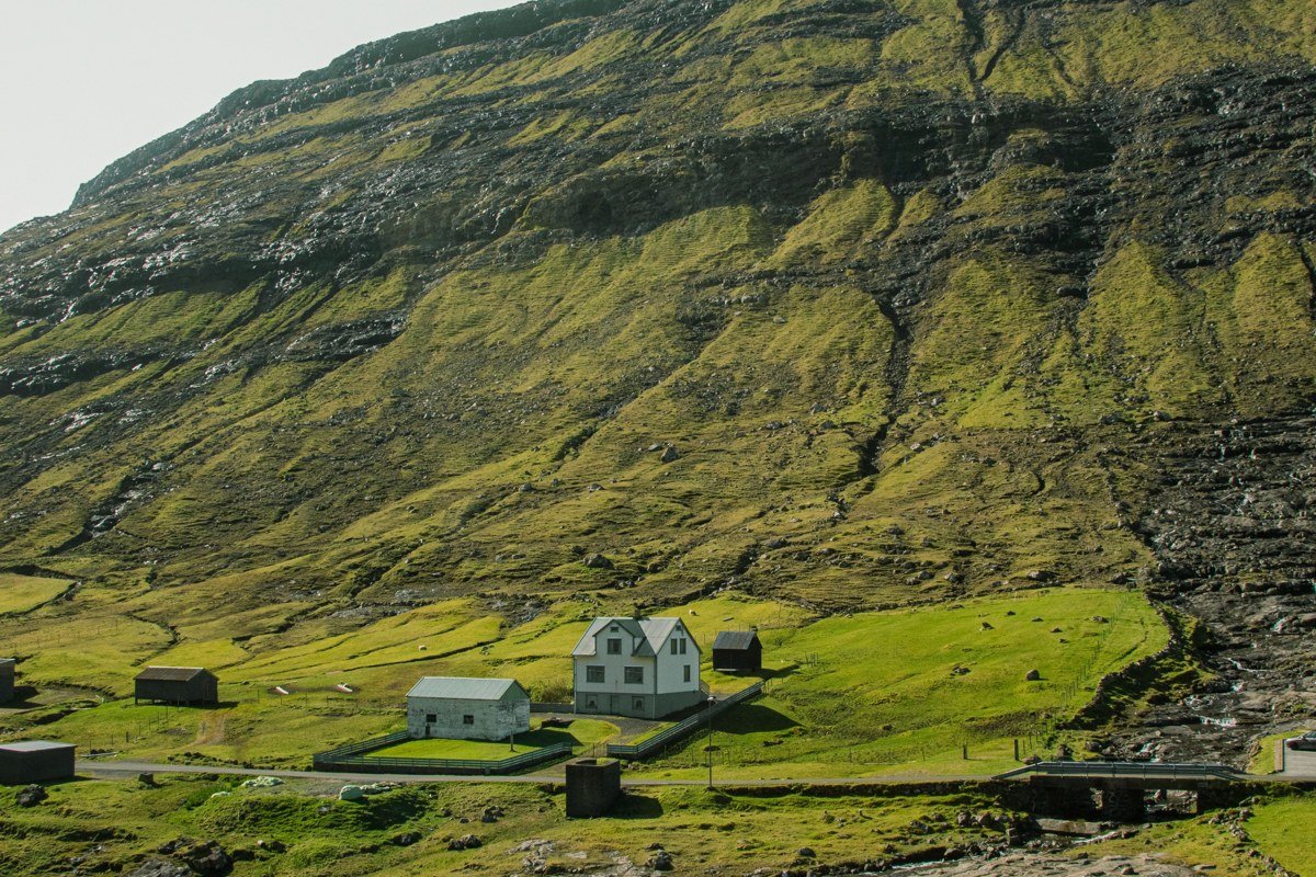
Funningur sits at the inner end of Funningsfjordur on Eysturoy, where two mountain ridges press close and send waterfalls down both sides of the valley simultaneously. The village church, with its red-and-white exterior, has been photographed so often it risks becoming a cliche, but arriving on foot via the ridge trail from Slattaratindur changes the perspective entirely: you descend through cloud and the church appears below you before the village does. That hike runs roughly four hours return from the summit, is unmarked in places, and requires confident navigation when cloud closes in at ridge level, which it often does. The fjord reflects the cloud cover on calm days and turns the whole scene into a natural mirror. There is almost no tourist infrastructure here, which is both the point and the practical reality: bring water and snacks and do not rely on finding anything open.
6. Elduvik
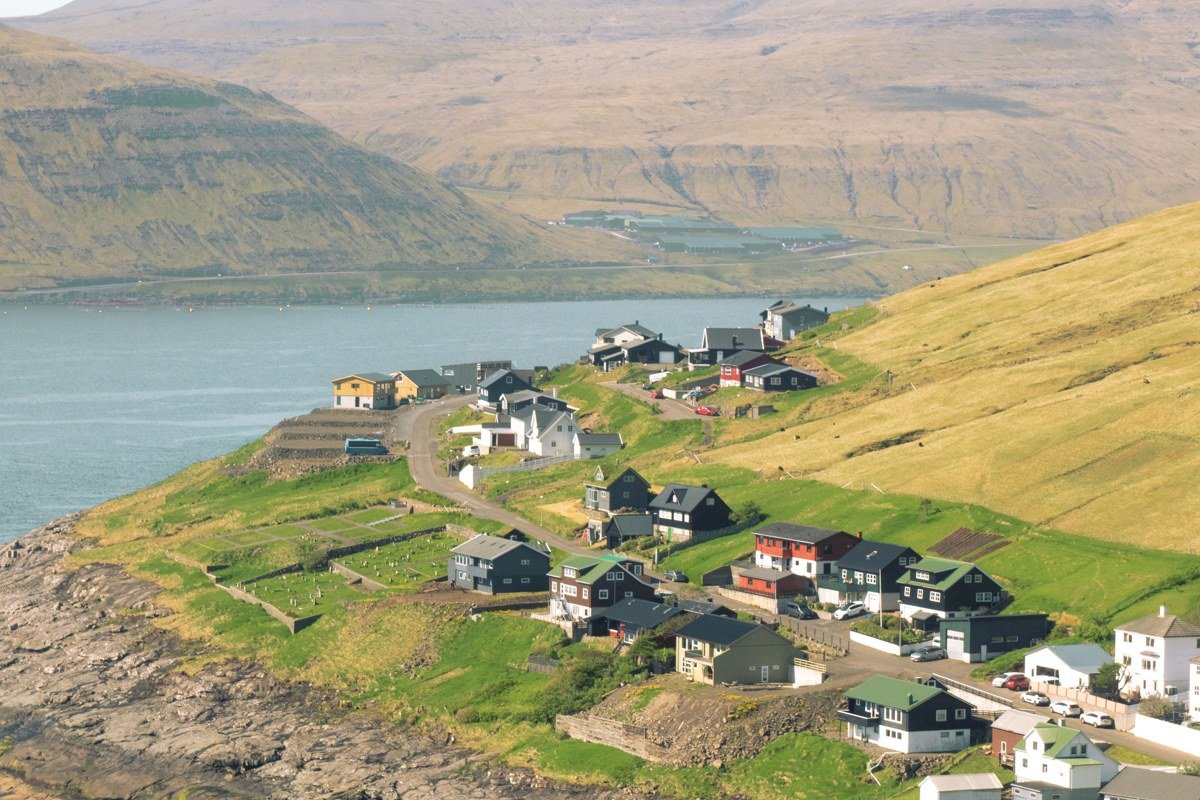
Elduvik and Funningur share Funningsfjordur, and both appear on this list because they occupy opposite ends of the same body of water and offer genuinely different relationships to it: Funningur faces the closed inner valley, while Elduvik opens slightly toward the fjord mouth, catching different light and a different sense of scale. Sitting on a flat shelf between steep cliffs, Elduvik is the kind of village that appears in travel photography without a caption because its name sounds implausible and people assume it is composite or heavily edited. On still mornings the fjord is completely glassy and the mountain reflections are so precise they make the image look flipped. Because the eastern ridge blocks the sunrise, the golden-hour equivalent arrives closer to midmorning depending on the season. The village is a very short detour from the main road between Eidi and Gjogv, which makes it easy to revisit at different times of day without reorganising an entire itinerary.
7. Gjogv
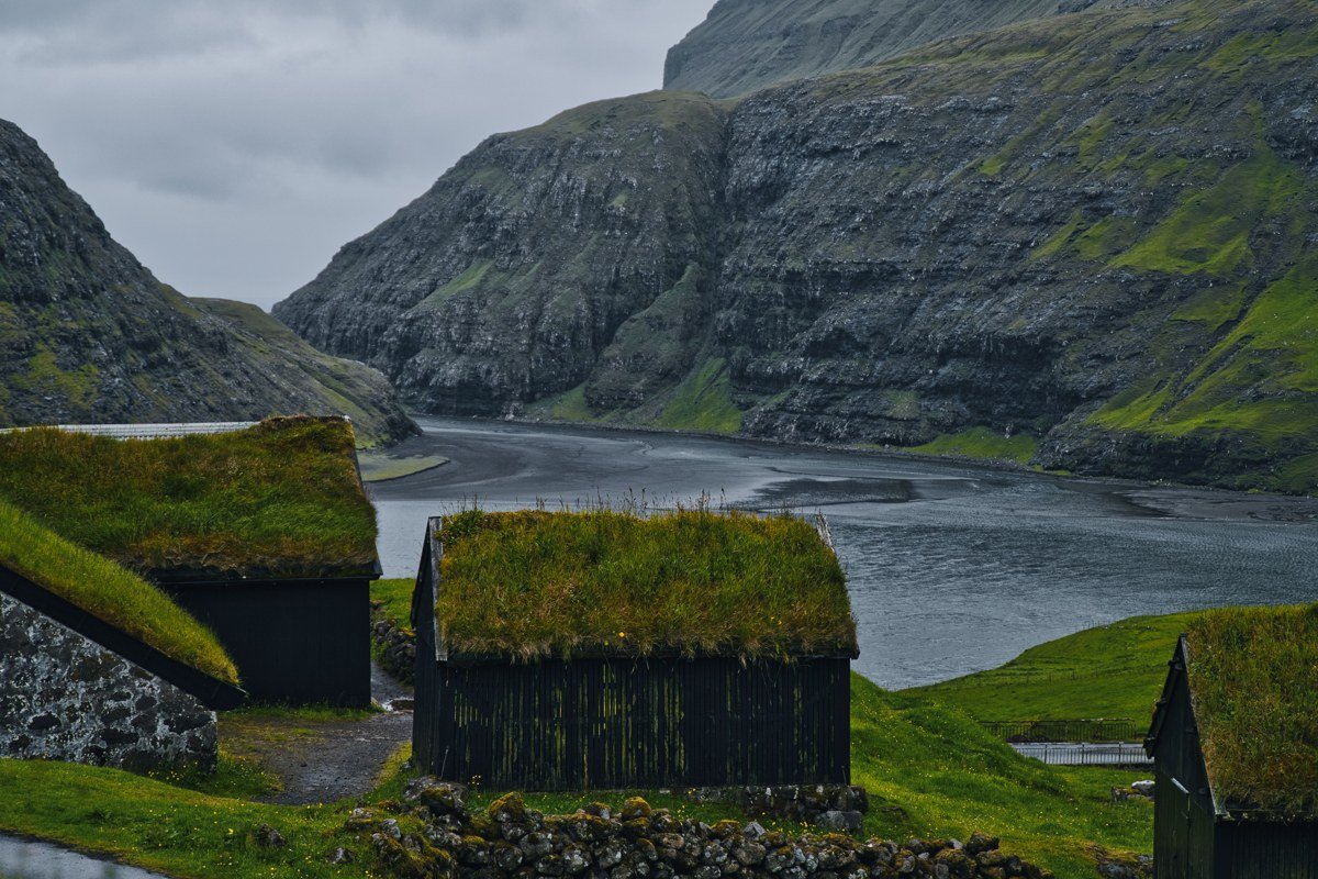
Gjogv takes its name from the natural gorge that serves as the village harbour, a narrow crack in the basalt into which fishing boats were historically hauled by hand. The gorge is the main visual event, but the village surrounding it is one of the best-preserved clusters of traditional Faroese architecture in the islands, with turf roofs on nearly every building. Gjaargardur guesthouse has been operating for decades and books up well in advance in summer, largely because staying overnight means seeing the gorge at dawn before anyone else arrives. Fog here behaves like a special effect: it pours over the ridge and down into the gorge, and when it is moving fast enough the sound of it is audible before it arrives. The circular walk around the headland takes about two hours and gives elevated views back to the village that work best in overcast light.
8. Vidareidi
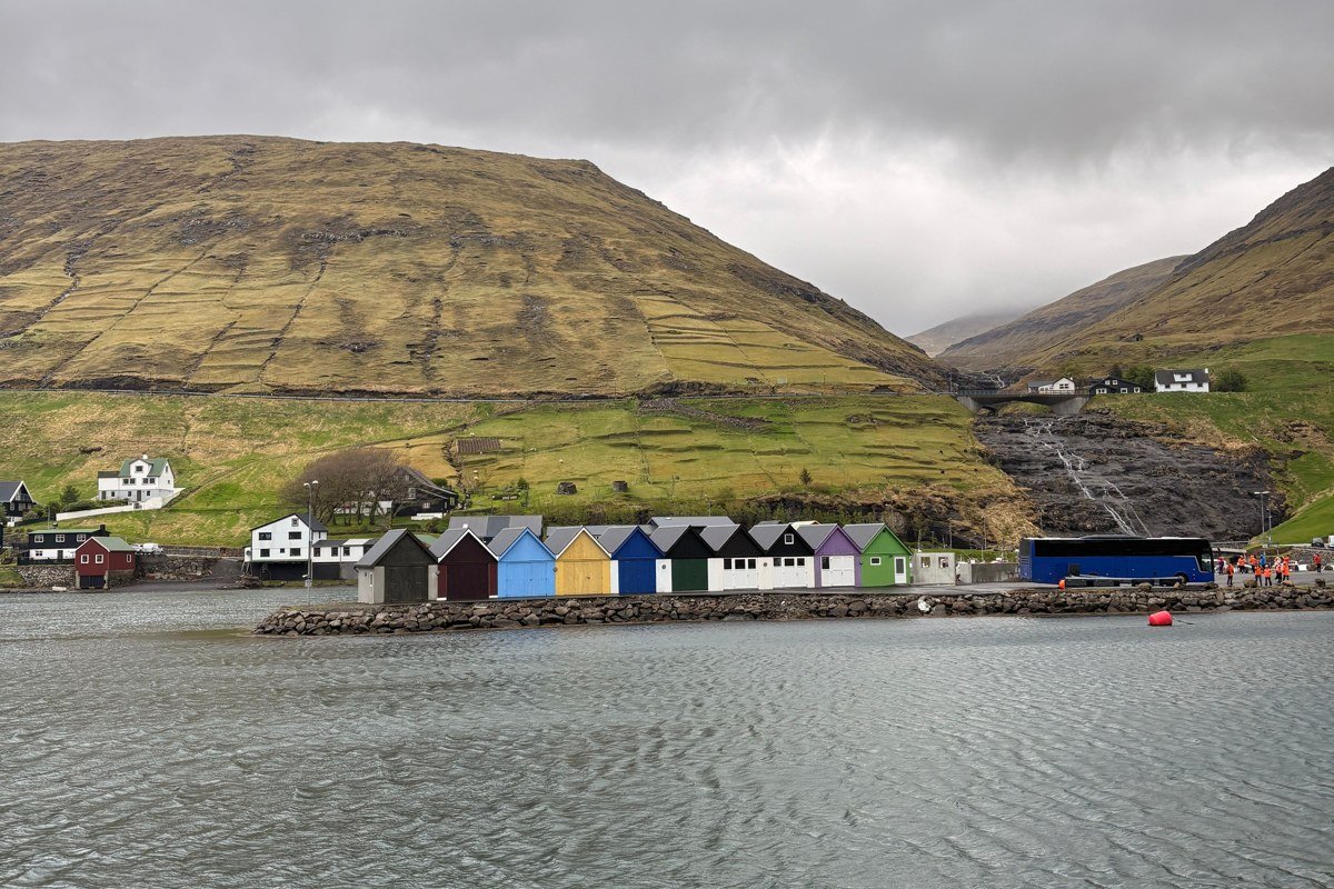
The northernmost village in the Faroe Islands, Vidareidi occupies a narrow peninsula on Vidoy where the land nearly pinches off between two fjords. Its church is the oldest on the islands still in regular use and contains what is described locally as a narwhal-tusk walking stick of considerable age. Beyond the church, the village carries a remoteness that has nothing to do with photogenic staging: the road north from Klaksvik offers long open stretches with no buildings, and when weather closes in the drive back can feel genuinely committing. Puffins nest on the cliffs within walking distance during summer, which means late May through July delivers both wildlife and the most dramatic structural light. The peninsula viewpoint looking south shows both fjords simultaneously and is best photographed from a slightly elevated position off the road.
9. Hov
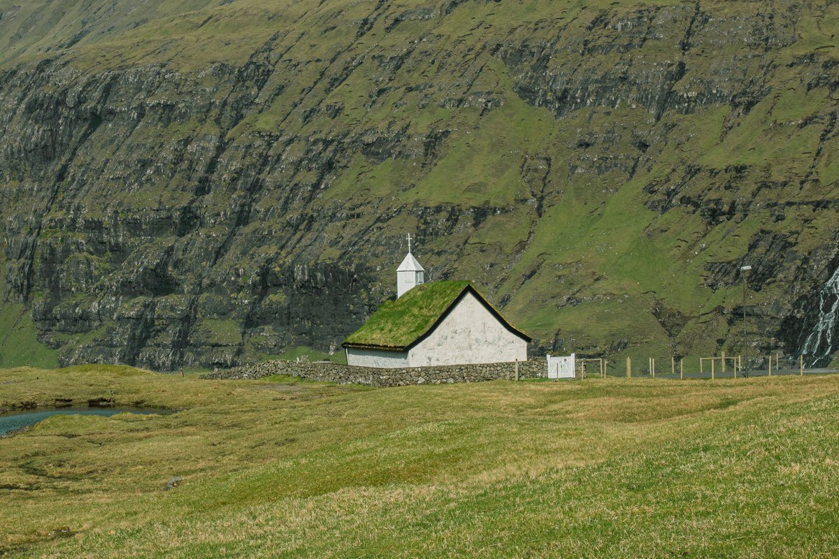
Hov sits on Suduroy, the southernmost island, which requires a ferry from Torshavn and is consequently far less visited than the northern cluster. The cliffs south of the village are among the most vertically dramatic in the Faroe Islands, including the Beinisvord cliff face that drops several hundred meters directly into the sea. The village itself sits low against those cliffs: dark basalt walls, a handful of painted timber houses, grass running right to the edge of the farmland as though the island cannot spare an inch. The ferry crossing from Torshavn takes roughly two hours each way and runs several times daily, making Suduroy a feasible day trip. An overnight stay is worth it for a different reason: coach tourism does not reach Suduroy in any meaningful volume, so the cliff path and the village belong to you regardless of what time you leave the guesthouse. Approaching Hov from the north on foot via the cliff path is the correct way to arrive if weather and fitness allow.
10. Mykines
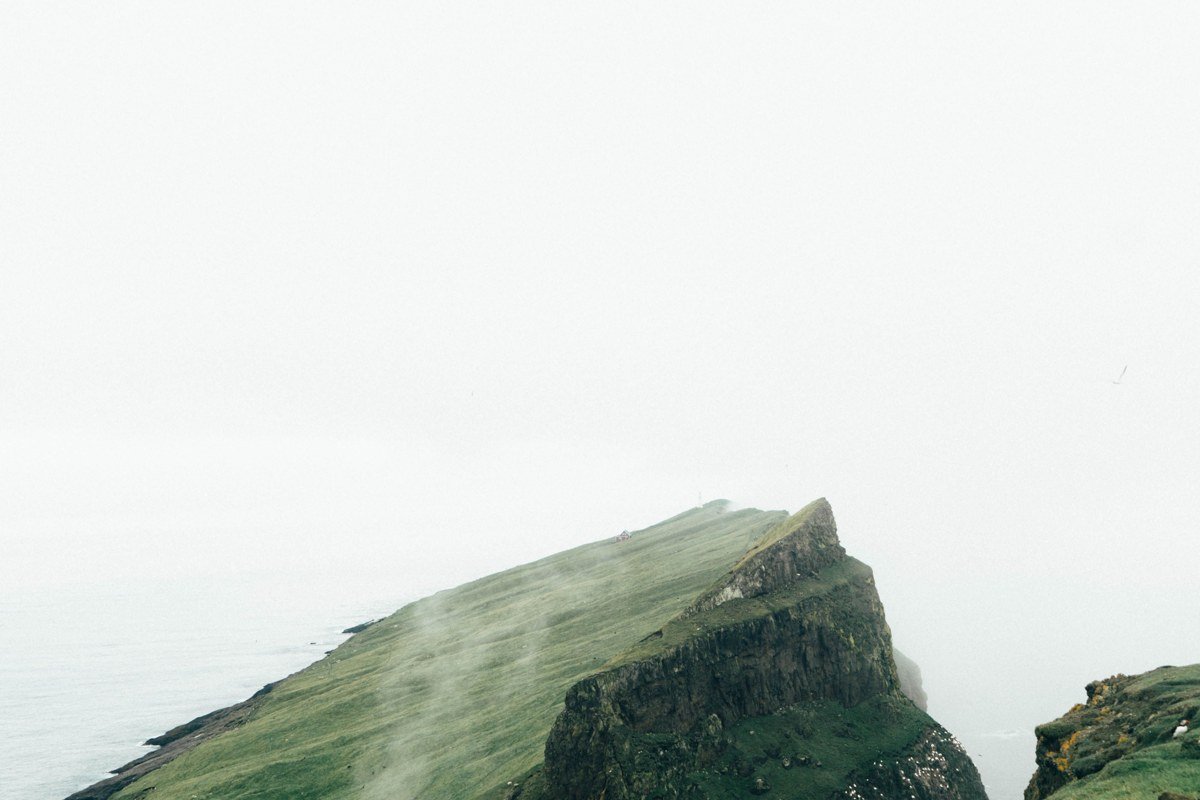
Mykines sits on its own island of the same name, reached by a helicopter service or a ferry that operates only when seas permit, which in practice means it is cancelled with some regularity. The village of roughly a dozen permanent residents in winter is connected to the lighthouse peninsula by a suspension bridge over a gorge, and the walk to the lighthouse passes through one of the densest puffin colonies in the North Atlantic. The combination of seabird noise, salt air, fog, and turf-roofed houses makes Mykines feel genuinely apart from the rest of the Faroe Islands rather than simply remote. The ferry cancellation rate is not a bureaucratic inconvenience but a real planning constraint: build at least two nights into any Mykines itinerary. Dawn light from the lighthouse looking back toward the village is the shot, and it requires an overnight stay on the island to access it without a crowd.
Getting There and Making It Work
Flying into Vagar Airport on Streymoy puts you within an hour of most villages on the western islands. Car rental is straightforward and essential. Most Faroese roads are in good condition, but single-track sections with passing places require patience, and the tunnel system (some sections are underwater roundabouts) is disorienting on the first pass.
The honest planning note: fog is not guaranteed in any season, but it is most persistent from late autumn through spring. Summer brings longer daylight and puffins but also the highest visitor volume, concentrated on Saksun, Gasadalur, and Gjogv. If your goal is genuine solitude, arrive by 7 a.m. or come in September when the light is low, the crowds thin out, and the weather delivers atmosphere on most days without negotiation. October is worth flagging separately: accommodation in smaller villages including Gjogv and Hov operates seasonally, and showing up without a confirmed booking after mid-October risks finding nothing open within a reasonable drive.
A visit requiring a ferry (Suduroy, Mykines) needs a buffer day on either side. Book Gjaargardur in Gjogv and whatever accommodation you find on Mykines well ahead of arrival regardless of season. Bring waterproofs you can actually move in, not fashion versions, and treat every overcast day as the correct condition rather than a disappointment.