Why Cape Flattery Disappears Into Cloud Every Morning: 9 Foggy Pacific Northwest Stops Along the Way

Get to Cape Flattery, Washington before 9am in June and there’s a real chance you’ll see nothing but gray. The trail’s there, the observation platforms are there, but the actual point, the northwesternmost tip of the contiguous United States, just isn’t visible until the marine layer burns off, sometimes not until noon. That’s not bad luck. It’s the Strait of Juan de Fuca doing what it does every warm morning when cool ocean air meets land. Once you understand that rhythm, a road trip through this region stops being a checklist. It becomes fog-chasing, timing your stops around when the mist lifts and when it doesn’t. Below are nine stops sorted by how much effort they ask for, so you can build anything from a long weekend to a proper 10-day loop.
Easy wins (a weekend, no planning)
Multnomah Falls, Oregon
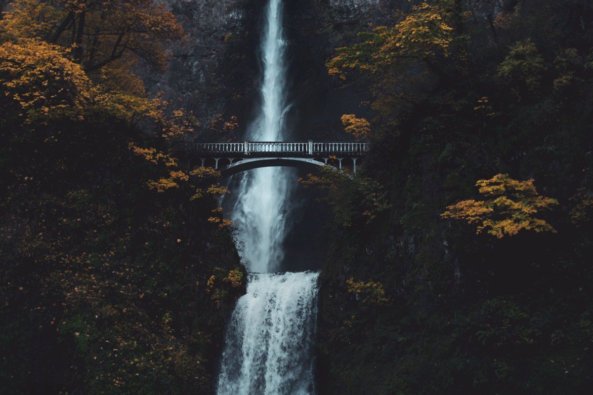
An hour east of Portland on the Historic Columbia River Highway, this is the most photographed waterfall in the state for a reason, and the fog only improves it. Cool air pools in the Columbia River Gorge most mornings from fall through spring, wrapping the upper falls and that famous footbridge in a soft haze that direct sun would ruin. Parking fills fast, so a timed-use permit ($2.00 per vehicle, booked through Recreation.gov) is required for the main lot from May through early September. Arriving right at opening sidesteps most of that.
Effort: 45-minute drive from Portland, easy paved viewpoint, $2 timed-use permit needed for parking in peak season.
Cannon Beach, Oregon
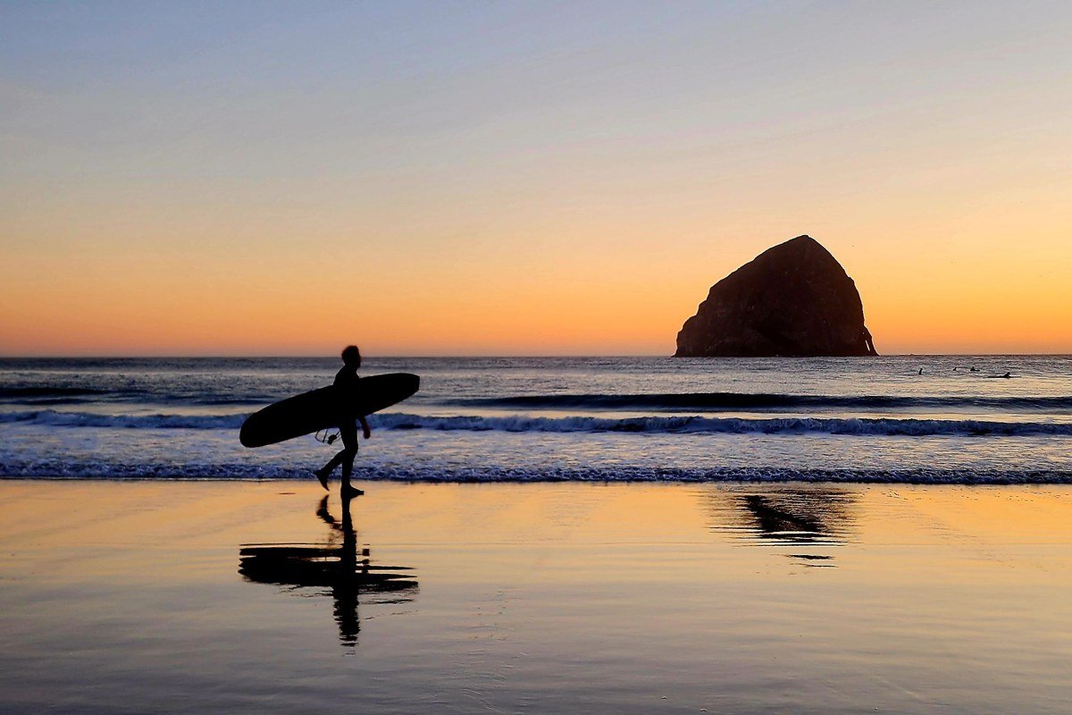
Haystack Rock looks like it’s floating when the coastal fog hasn’t lifted yet, which on the Oregon coast is often. This is the classic weekend trip from Portland, about 80 miles, and it works in any season since the fog is closer to a permanent resident than a weather event. Go at low tide for the tide pools around the rock’s base and to walk out further than the crowds bother to.
Effort: 1.5-hour drive from Portland, no reservations needed, check tide charts before you go.
Deception Pass, Washington
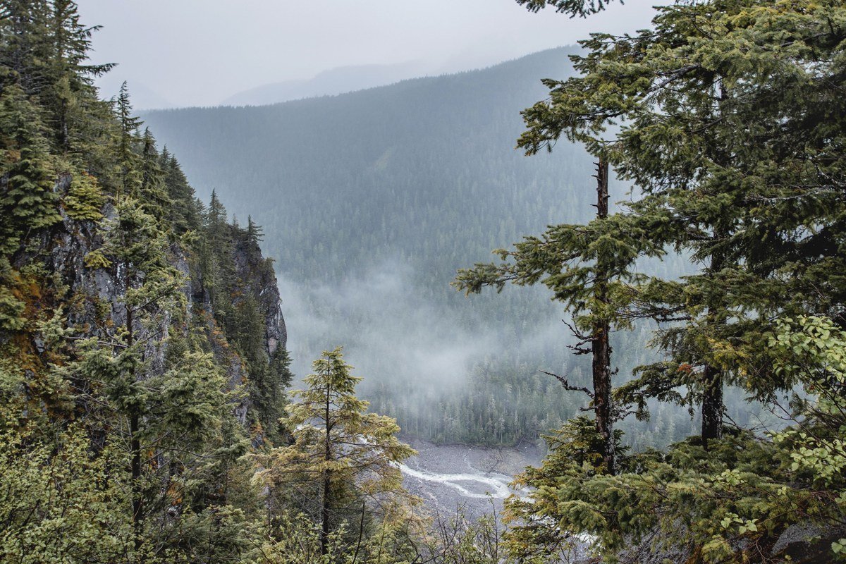
The bridge connecting Whidbey and Fidalgo islands sits 180 feet above a tidal channel that generates its own fog bank when currents from Puget Sound and the Salish Sea collide underneath it. Early risers get the bridge to themselves and a view of mist pouring through the gorge. It’s an easy add-on if you’re heading toward the San Juan Islands ferry terminal at Anacortes.
Effort: 90-minute drive from Seattle, roadside pullouts on both ends, no permit required.
Worth the drive
Ruby Beach, Washington
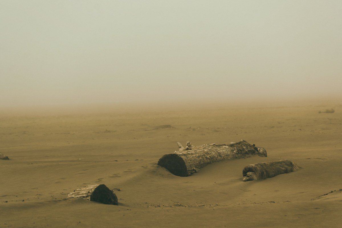
Olympic National Park’s coastline earns comparisons to the Oregon coast, but Ruby Beach’s sea stacks and driftwood piles have a starker, wilder feel, especially when fog erases the horizon and leaves just the black rock shapes. The short trail down from the parking area is steep enough to slow families down, which keeps the beach itself relatively uncrowded even in July. A park entrance fee ($30 per vehicle, valid 7 days) applies here as anywhere in Olympic National Park.
Effort: 3-hour drive from Seattle (via the Bainbridge or Kingston ferry), quarter-mile trail down to the beach, $30 park pass required.
Cape Flattery, Washington
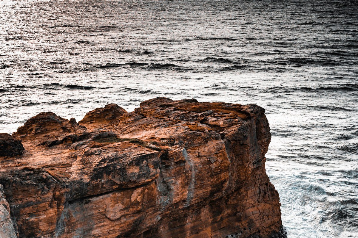
This is the payoff stop the whole trip is built around. The trail through Makah tribal land ends at cliff-edge platforms looking out over sea caves, arches, and Tatoosh Island, and on a foggy morning you’ll hear the waves crashing below before you see anything at all. Come back through early afternoon and the same view can be crystal clear, occasionally with gray whales visible offshore during their migration in March through April and again in fall. A Makah Recreation Pass ($20 per vehicle, cash or card, sold at shops in Neah Bay) is required and is separate from any national park pass.
Effort: 4.5-hour drive from Seattle, easy 1.2-mile round-trip boardwalk trail, $20 Makah permit required.

For a stop almost nobody plans for, pull off at the unmarked scenic turnout near milepost 15 on Highway 112 west of Sekiu. There’s no sign, just gravel shoulder and a view down the strait toward Vancouver Island, and on a foggy morning you’ll likely have it entirely to yourself.
Hoh Rainforest, Washington
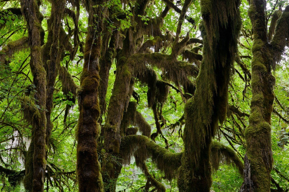
Fog doesn’t need a coastline to work its magic here. The Hoh’s moss-hung bigleaf maples trap mist under the canopy most mornings regardless of season, since this is one of the wettest places in the contiguous US, part of what makes the Olympic Peninsula’s climate so different from the desert just a few hours over the mountains. The Hall of Mosses loop is short and popular; the Hoh River Trail goes much deeper into the valley if you want distance between yourself and other cars.
Effort: 4-hour drive from Seattle, 0.8-mile loop or all-day options, road can flood or close briefly after heavy winter rain.
Crater Lake, Oregon
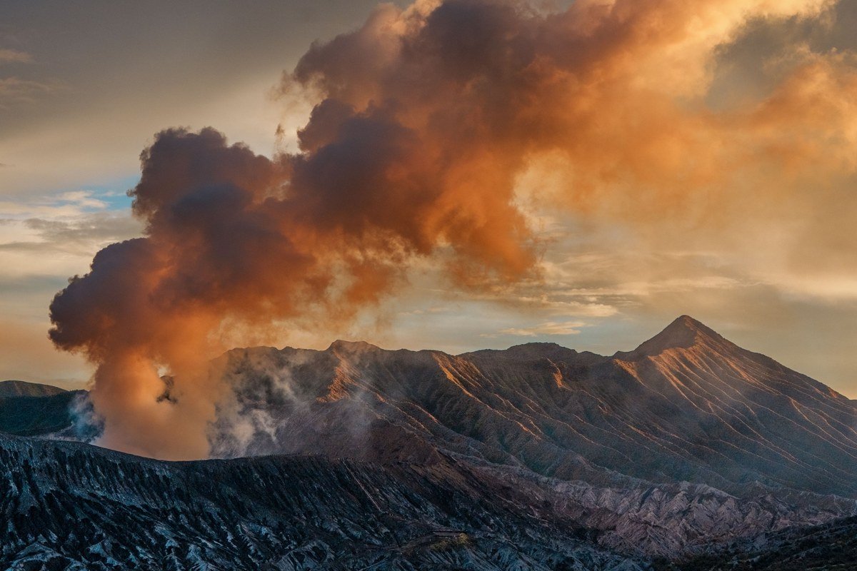
Crater Lake behaves differently from the coastal stops. Fog here tends to come from cloud sitting low over the caldera rather than marine air, and it can hide the lake entirely for an hour and then vanish completely. Rim Drive is scheduled to fully reopen by early July 2024 and typically closes with the first heavy snow in mid-to-late October, so check the park’s current road status page before you commit, since dates shift with snowpack every year.
Effort: 5-hour drive from Portland, full Rim Drive open roughly July to October, no permit but check road status before committing.
Earn it (long haul, big payoff)
North Cascades Highway, Washington
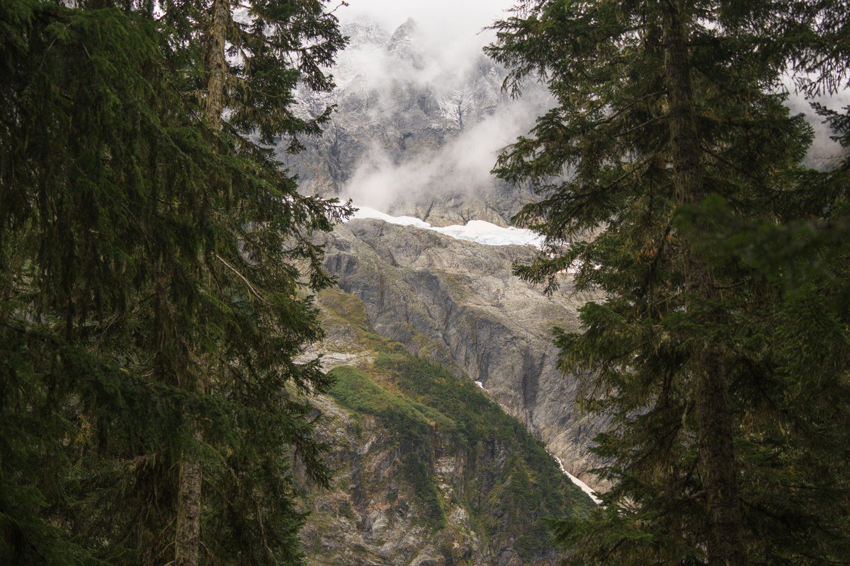
State Route 20 through the North Cascades is one of the most dramatic drives in the country, and valley fog pooling below Liberty Bell Mountain or around Diablo Lake at sunrise makes it look almost Himalayan. The catch: WSDOT closed the highway in mid-November last year and it didn’t reopen until early May, and closure dates move with snowfall every winter, so check WSDOT’s pass report before you plan around it. This only fits into a late spring through fall itinerary, and it’s a full detour from a Seattle-to-Olympic-Peninsula route, not a drive-by.
Effort: Full day trip from Seattle round-trip, highway typically closed November to May, several roadside overlooks need no hiking at all.
Mount Rainier, Washington (Paradise side, sunrise)
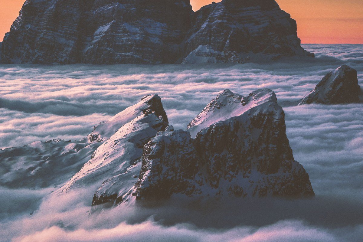
This payoff works backward from every other stop here: you drive up above the fog instead of into it. A clear morning after a foggy night can put Paradise above an entire cloud layer, Rainier’s summit lit up, the rest of Washington buried in white below. It takes a specific setup, a cold clear night followed by a warm morning, so check forecasts and be ready to scrap the plan if it doesn’t line up. A timed-entry reservation ($2 booking fee, plus the standard park entrance fee) is required for the Paradise corridor on summer weekends and holidays.
Effort: 2.5-hour drive from Seattle, weather-dependent payoff, $2 timed vehicle reservation needed for the Paradise corridor summer weekends.
The honest way to plan around all this: base a 5-day trip on Seattle and the Olympic Peninsula, stretch to 7 days to add the North Cascades, and go 10 to 14 days if you’re linking Washington and Oregon into one loop through Portland, which is exactly how most people build a longer Pacific Northwest road trip anyway. Summer gives you the most reliable roads and highway openings, but the heaviest, most photogenic fog actually favors late spring and early fall, when the air is cooler and the crowds have thinned. Moving up a tier next trip usually just means adding two or three days and a permit you booked ahead of time. Not a harder trip, just a longer one.