
The mistake almost everyone makes on a Utah national parks road trip is treating the drive between parks as dead time. People book five park entrances, map the fastest route between them, and then wonder why the trip felt like a checklist instead of a vacation. The land between Zion and Arches isn’t filler. It’s where you’ll actually get the empty overlook and the parking spot that doesn’t exist at the parks themselves anymore.
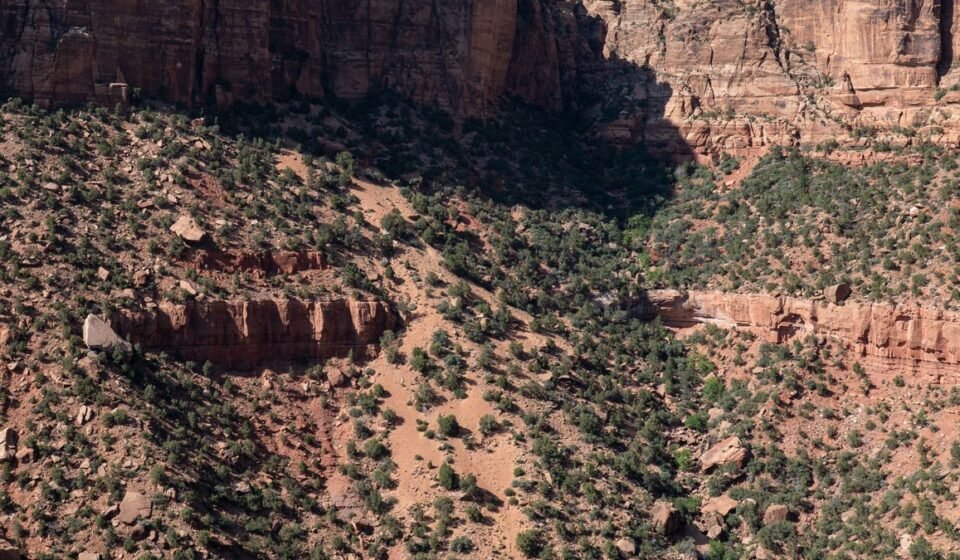
Southern Utah looks the way it does because arid climate never covered its geology back up: sandstone laid down over hundreds of millions of years got pushed upward, then carved by wind and flash floods into cliffs, hoodoos, and slot canyons instead of soil and forest. Summers hit triple digits at lower elevations like the San Rafael Desert and the approach to Lake Powell, while the high plateaus around Bryce Canyon and Cedar Breaks stay cool and can hold snow into May, which is exactly why the “best time to go” question doesn’t have one answer for the whole state.
This is for travelers doing the classic Mighty Five loop, whether that’s a tight 4-day national parks sprint or a slower 10-day version, who want to know what’s actually worth the stop between the entrance gates, and which stop on this loop tends to disappoint once you’re standing in front of it.
The Zion Approach
This corridor runs between Las Vegas, Nevada and Bryce Canyon National Park, and it’s the stretch most road trips from Las Vegas or Los Angeles drive through half-asleep.
Kanab, Utah
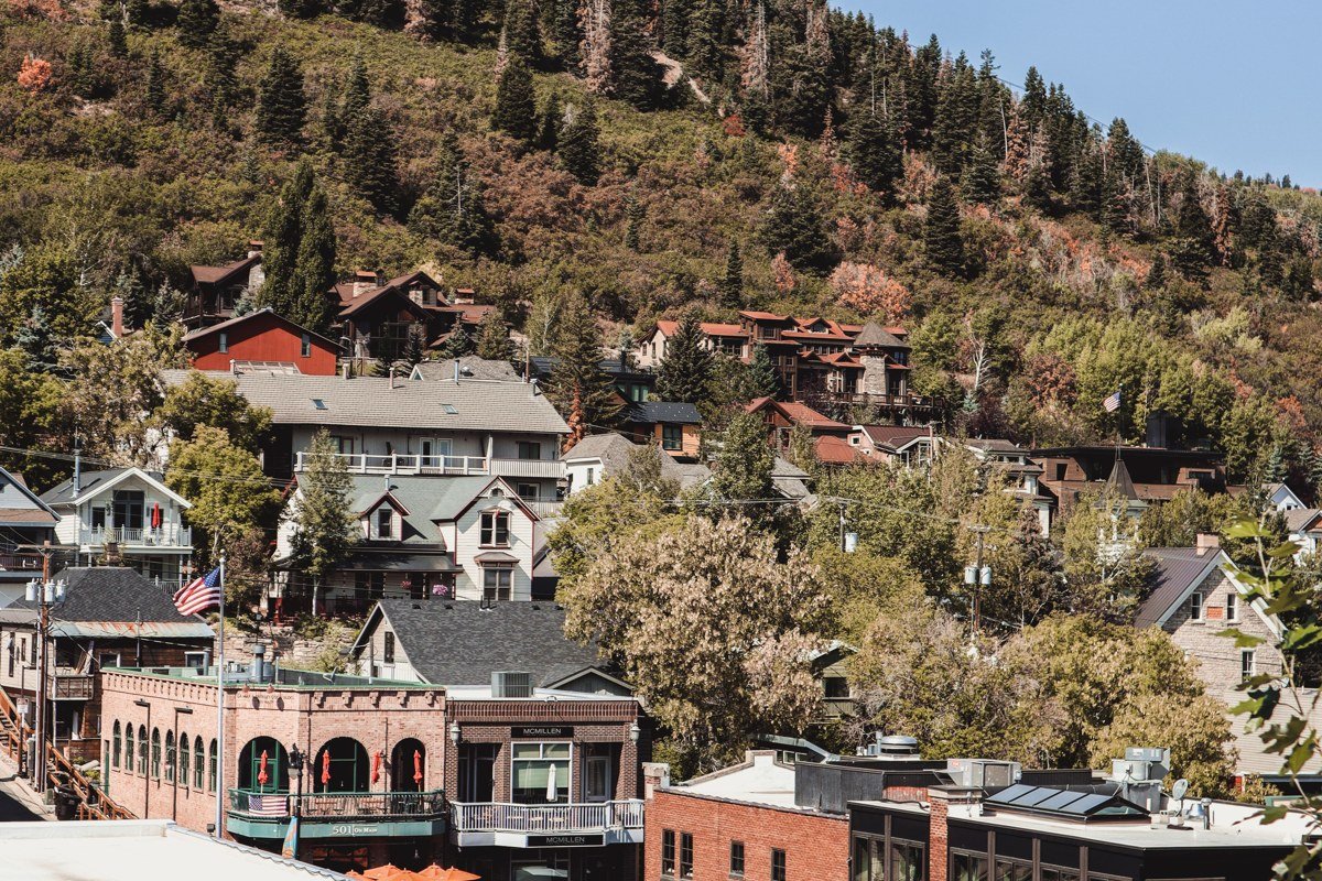
Kanab sits at the crossroads of Zion, Bryce, and the North Rim of the Grand Canyon in Arizona, which makes it the most underused base camp in the state. Gas is cheaper here than inside any gateway town, hotel rates run lower than Springdale’s, and it’s the jumping-off point for the Wave permit lottery (Coyote Buttes North, roughly a 1-in-9 chance in the daily online drawing depending on the season) and for Peekaboo Canyon slot canyon tours if you want a bucket-list detour. Most people blow through it in fifteen minutes on Highway 89. Staying a night instead means you skip the worst of Zion’s morning shuttle lines by arriving early.
Pair it with: Coral Pink Sand Dunes State Park, a 20-minute drive west.
Coral Pink Sand Dunes State Park, Utah

These wind-sculpted dunes get their color from eroded Navajo sandstone, and they’re one of the few places in Utah where kids can run flat-out without a cliff edge in sight, which matters if you’re doing this loop with young children. Sunrise and the last hour before sunset are the only times worth showing up; midday sand gets hot enough to burn bare feet. Entrance is $10 per vehicle, separate from your national park pass, and almost nobody adds it to the itinerary despite the detour costing under thirty minutes.
Pair it with: Kanab, a short backtrack east before continuing toward Zion.
The Zion-Bryce Connector
Highway 9 through Zion dumps onto Highway 89 and then Highway 12, and this is the section where elevation changes fast enough that you’ll go from desert floor to alpine forest in under two hours.
Zion-Mount Carmel Highway Overlooks, Utah
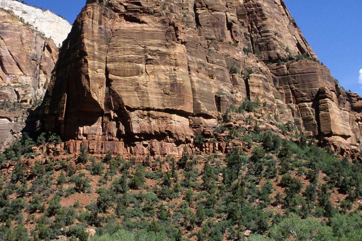
The road itself, including the mile-long tunnel blasted through solid rock in the 1920s, is a destination most people treat as a pass-through. Oversized vehicles need a ranger-assisted one-way escort through the tunnel, and that alone should tell you this isn’t a normal highway. Pull off at Checkerboard Mesa near the east entrance, a sandstone dome cross-hatched by erosion and ancient dune lines, something almost nobody photographs because they’re rushing to make it inside the park before the shuttle lot fills.
Pair it with: Zion Canyon itself, a 15-minute drive west through the tunnel.
Cedar Breaks National Monument, Utah
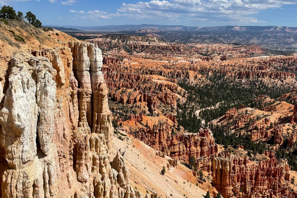
Here’s the honest answer to the “is Zion overrated” complaint travelers whisper on forums: no, but Bryce Canyon’s parking lot is, and Cedar Breaks is the fix. The amphitheater rim sits at roughly 10,350 feet, cooler and far less crowded than Bryce, and it’s worth the detour if Bryce’s lots are already full by 9 a.m., which they routinely are from June through August. Entrance is $10 per person (or free with a national park pass). Highway 143 to get there typically closes with snow from late October to Memorial Day, so this is strictly a warm-season add. Check current conditions before you drive up.
Pair it with: Bryce Canyon National Park, about an hour east via Highway 14 and Highway 89.
Highway 12 Through Grand Staircase
This stretch between Bryce Canyon and Capitol Reef National Park is regularly ranked among the most scenic drives in the country, and it’s also the section where itineraries built for speed fall apart, because there’s nowhere to rush.
Kodachrome Basin State Park, Utah
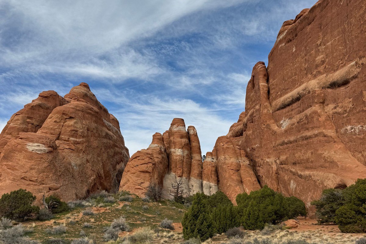
Named for its color, not by Kodak, this state park is full of sandstone chimneys called sand pipes that don’t exist in quite this form anywhere else in Utah. It sits just off Highway 12 on a paved spur road, so there’s no real excuse to skip it beyond not knowing it’s there. The Panorama Trail (a 6-mile loop with several short spurs you can cut out to shorten it) is the one to walk if you only do one; Angel’s Palace, a 1.5-mile round trip, is the better pick with kids. Entrance is $10 per vehicle.
Pair it with: Escalante, about 25 minutes northeast on Highway 12.
Escalante, Utah
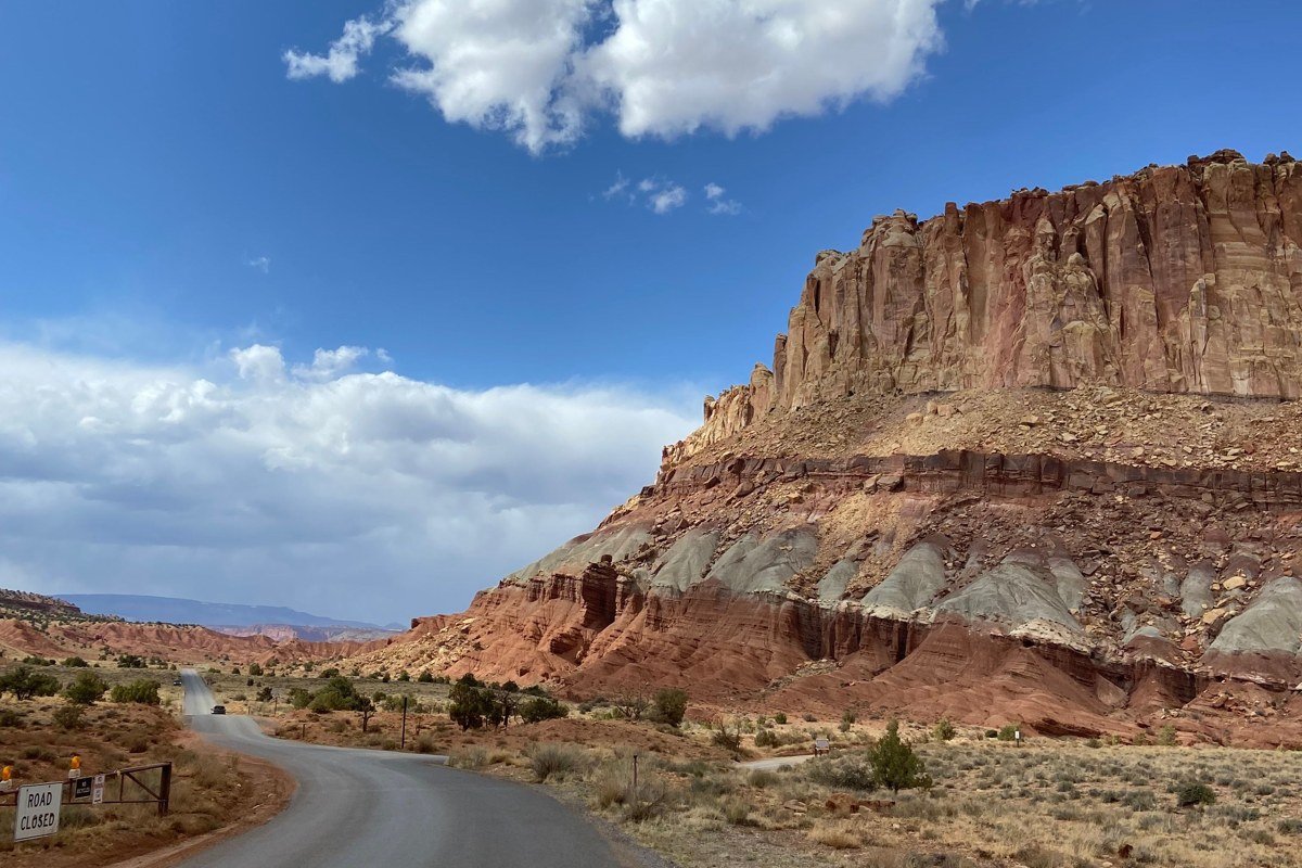
Escalante is the town serious canyoneers use as a staging point for Peek-a-boo and Spooky slot canyons, and it’s also a good, unpretentious place to eat and refuel between two national parks that both charge premium prices inside their boundaries. Escalante Outfitters, at the west end of town, does the job well if you want food and gear advice under one roof. Cell service gets thin past here heading east, so this is the last reliable stop to download offline maps before Capitol Reef. Grand Staircase-Escalante National Monument itself has no entrance fee and almost no infrastructure, which is exactly its appeal and its risk. Flash flood warnings here are not decorative.
Pair it with: Kodachrome Basin State Park, a short backtrack southwest.
Boulder, Utah, and the Hogback
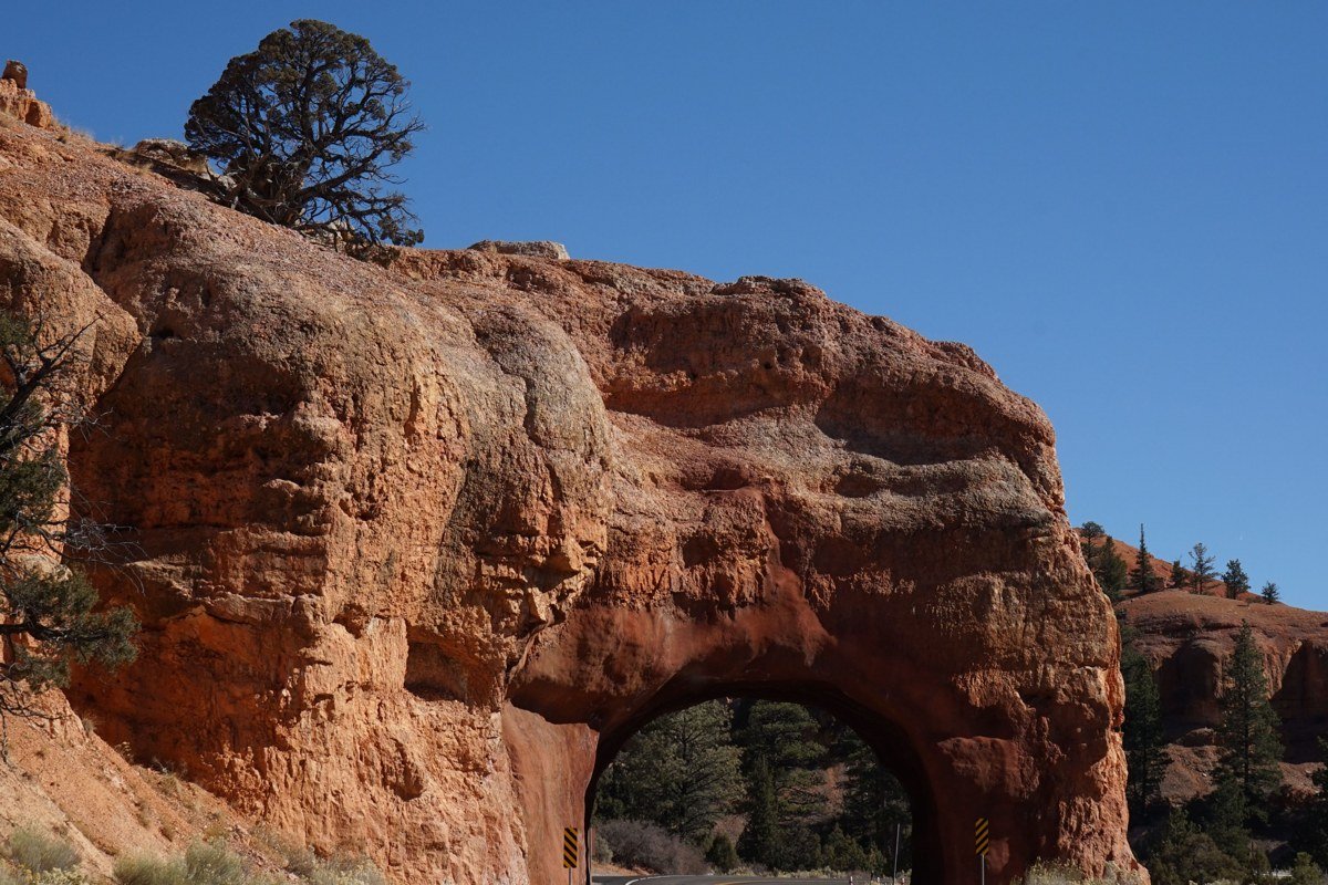
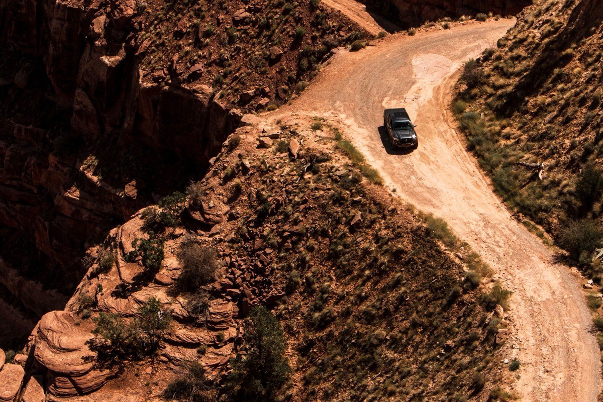
The Hogback is a section of Highway 12 where the road narrows to a ridge with sheer drop-offs on both sides and views stretching into the Escalante canyons below. It’s not for anyone already white-knuckling mountain roads. Boulder, on the far side, is tiny (population under 300) and has better food than a town its size has any right to: Hell’s Backbone Grill, on the grounds of the Boulder Mountain Lodge, sources much of its menu from its own garden and is the reason people plan a whole day around a single meal out here.
Pair it with: Escalante, about 30 minutes back southwest on Highway 12.
The Reef-to-Arches Stretch
Between Capitol Reef and Arches National Park, Highway 24 and I-70 cross the San Rafael Swell, a folded uplift of rock roughly 75 miles long and 40 miles wide that most drivers see only as a blur of exit signs.
Goblin Valley State Park, Utah
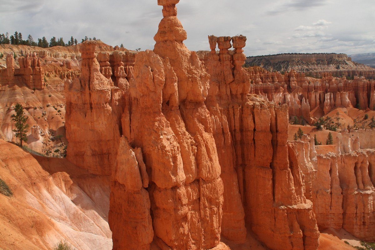
Thousands of squat, mushroom-shaped hoodoos spread across a valley floor you’re allowed to walk straight into, off-trail, which is unusual for anywhere this photogenic in Utah. It sits about 30 minutes off I-70 down Highway 24 and a well-marked side road, so it takes intention to reach, and that’s precisely why it stays uncrowded even in peak season. Entrance is $20 per vehicle. Go in early morning or evening; midday sun flattens the color, and the heat here in July and August is no joke.
Pair it with: San Rafael Swell overlooks, roughly 40 minutes northeast via I-70.
San Rafael Swell, Utah
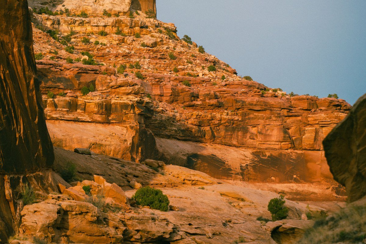
The Swell is a dome of exposed rock roughly 75 miles long that I-70 cuts directly through, and the overlooks at rest stops along this stretch (the San Rafael Swell Overlook near mile marker 129 in particular) are worth pulling over for, not just a bathroom break. This is remote, dry country with almost no services for long stretches, so top off your gas tank in Green River before or after. It’s the emptiest, least photographed part of the entire loop, which for a lot of travelers is the point.
Pair it with: Goblin Valley State Park, a short detour south.
Green River, Utah
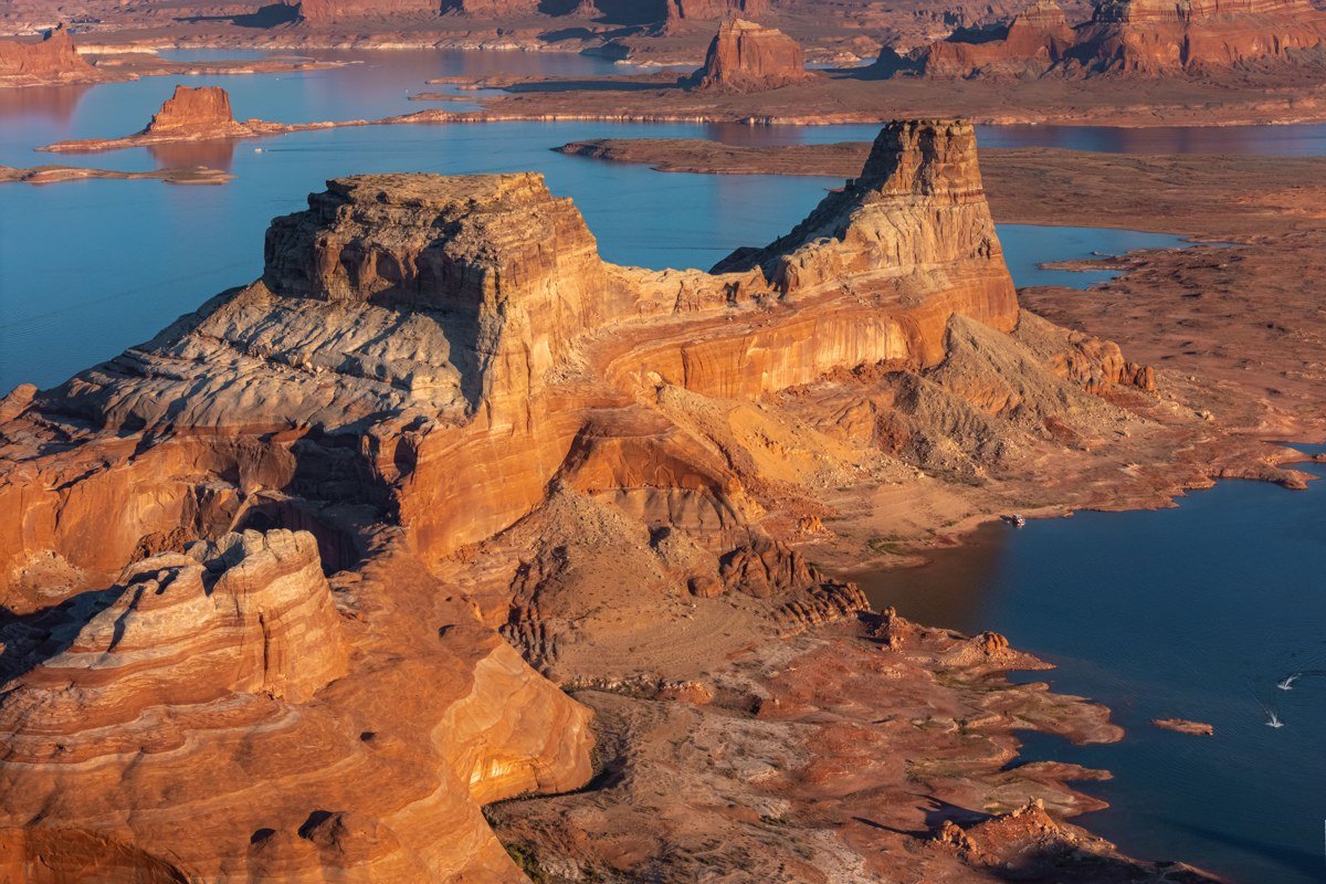
Green River is an easy skip on a map and an easy save in real life: it’s the last real town with a full range of gas, food, and lodging before Moab absorbs everyone heading to Arches and Canyonlands. It also sits near Crystal Geyser, a cold-water geyser that erupts irregularly, and the John Wesley Powell River History Museum, which covers the 1869 expedition that first mapped this stretch of the Green and Colorado Rivers. The math is simple: a mid-range room here can run $80 to $100 less per night than the same tier of room in Moab during peak fall and spring weeks, when Moab hotel prices spike hardest.
Pair it with: San Rafael Swell, about 30 minutes west on I-70.
Given a long weekend, the Highway 12 cluster between Bryce and Capitol Reef is the one to protect at all costs. It has the widest elevation range, the least crowding relative to how good it is, and the clearest case that slowing down beats checking boxes. Kodachrome Basin, Escalante, and the Hogback alone deliver more variety per mile than anything else on this loop, without a single timed-entry reservation between them. If something has to get cut from a tight itinerary, cut Bryce Canyon’s overlook crowds before you cut this stretch, not the other way around.