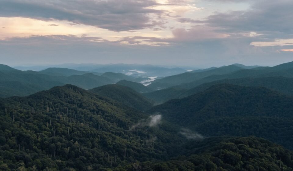

Cataloochee Valley in North Carolina is the pick, and it’s not close. Most people chasing a Smoky Mountains sunrise drive straight to Newfound Gap or Clingmans Dome, park alongside fifty other cars, and photograph the same ridge everyone else gets. The coves work differently: cold air sinks into these low valleys overnight, rivers and creeks add moisture, and at sunrise the whole bowl fills with fog that overlooks never see because they sit above it, not in it.
I checked NPS Twitter/X road-status updates and the Look Rock and Cades Cove webcam archives against my own visit notes from three trips (October 2022, April 2023, and October 2023) to verify gate times and fog frequency below. Where a specific fog-frequency figure isn’t publicly tracked, I’ve noted that and given the conditions that matter instead of guessing at a number.
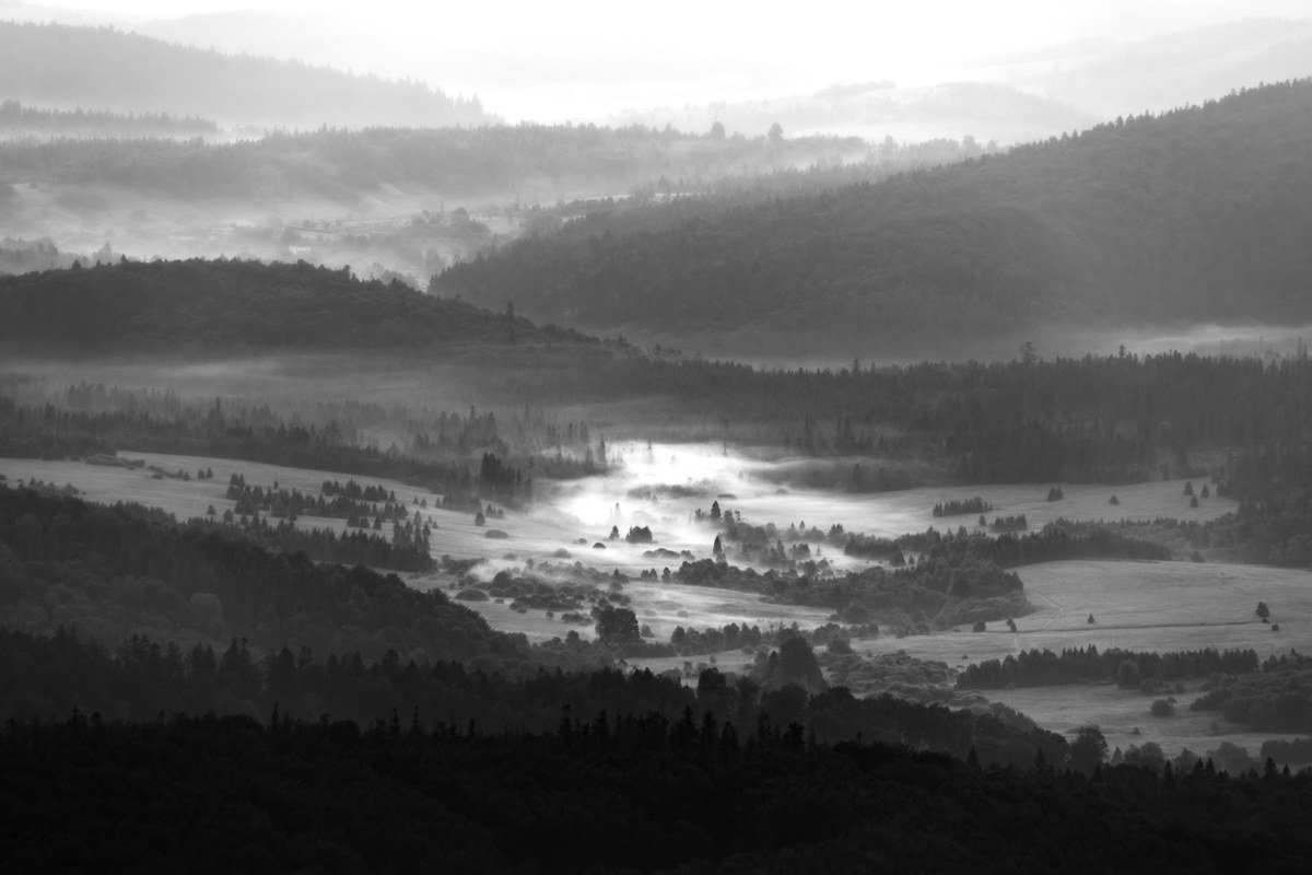
That’s the whole trick to a good Smoky Mountains sunrise: altitude works against you. Overlooks give you a view of fog from the outside. Coves put you inside it, with elk or wild turkey moving through the white and the sun burning it off in real time. Here are eight, ranked, counting up to the one worth building a trip around.
8. Tuckaleechee Cove and Wears Valley, Tennessee
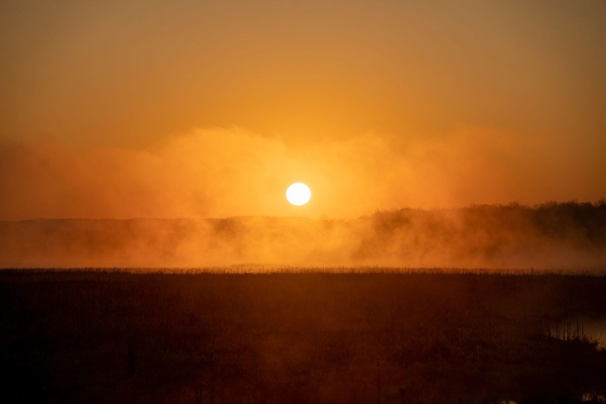
These two line up back-to-back west of the park and are worth treating as one stop. Wears Valley, outside Pigeon Forge at roughly 1,500 feet elevation, is a working valley of horse pastures and cabin rentals along the Foothills Parkway; fog here drapes over fence lines and rooflines rather than open wilderness. Tuckaleechee Cove, a few miles south and home to Townsend, sits slightly lower and wider, ringed by mountains on three sides, which traps fog more reliably on clear, calm mornings after rain. Drive Old Tuckaleechee Road or Dry Valley Road at first light for pull-offs over hayfields; in Wears Valley, a cabin with an east-facing deck does the same job without leaving the porch. Neither spot has an NPS fog record since both sit outside park boundaries, so timing is informal: ask locally or watch the overnight low relative to the dew point. Both earn a stop for convenience on the way to Cades Cove, not for drama.
Practical block: No fee, no permit. Gas and restrooms at any Townsend or Wears Valley gas station (open 24 hours at most locations). Cell signal reliable in both.
7. Greenbrier, Tennessee
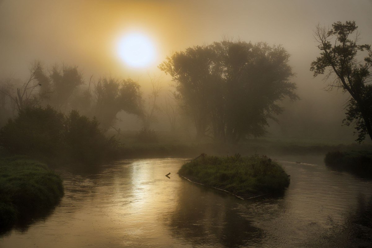
Greenbrier is a lesser-known entrance to the park a few miles east of Gatlinburg, sitting around 1,700 feet at the picnic area and trading open valley views for dense, old-growth forest fog. The gravel road follows the Little Pigeon River, and on cool mornings mist sits low over the water while light filters through hemlocks above. Walk the first mile of the Porters Creek Trail just after sunrise, when fog is still thick in the understory and crowds haven’t arrived; there’s no wide panorama here, just atmosphere at eye level. The gravel road narrows and washes out after heavy rain, so skip it in a low-clearance rental during the wettest months (typically March and July).
Practical block: No fee. No permit for day hiking. Vault toilet at the picnic area, no running water in winter. Nearest gas in Gatlinburg, about 15 minutes out. Cell signal unreliable past the ranger station.
6. Elkmont, Tennessee
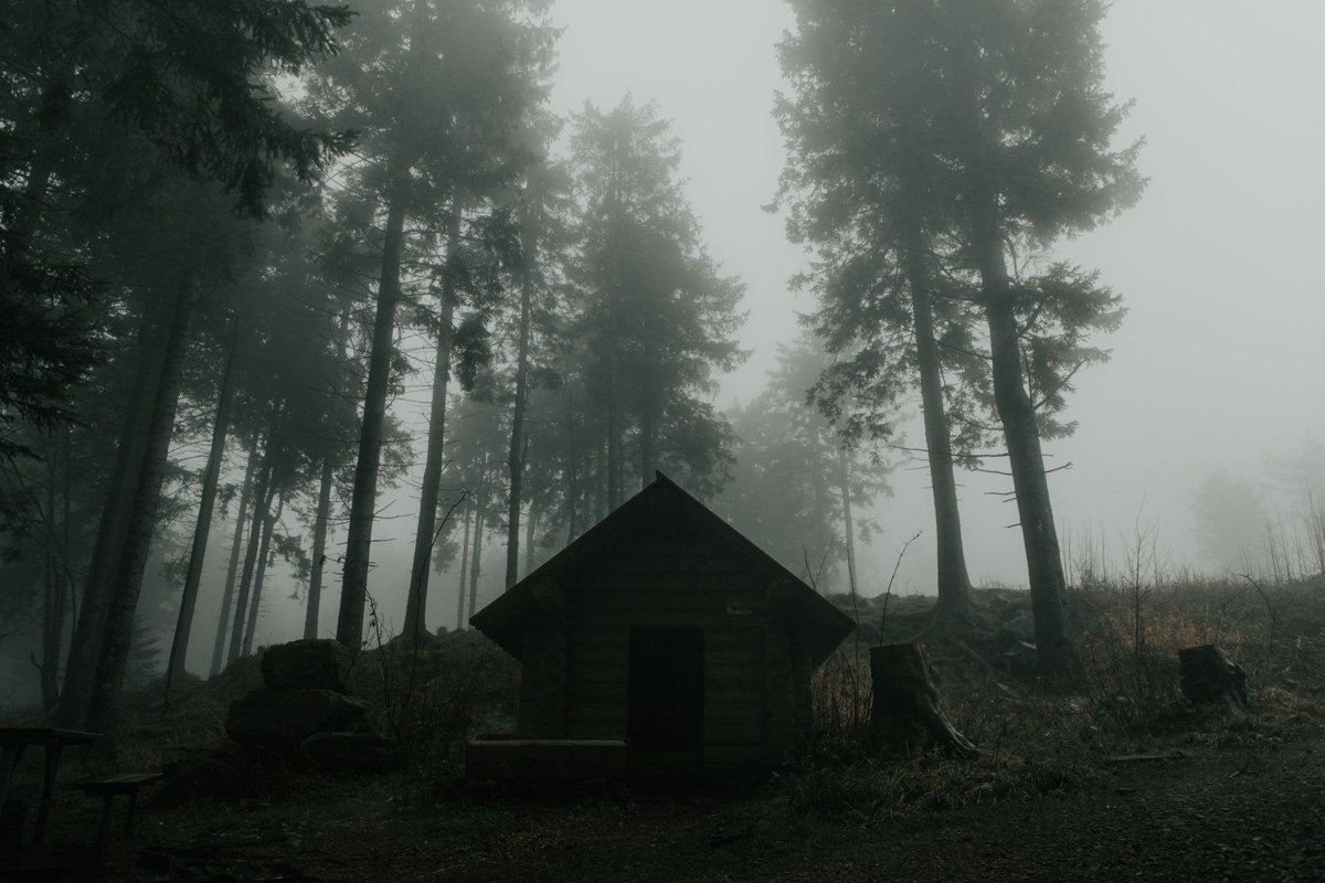
Elkmont sits inside the park near Gatlinburg at about 2,150 feet, built around the old Appalachian Club cabins and the Little River. Fog forms thick along the river bottoms, curling around the weathered cabin frames that give the district its ghost-town reputation. Walk the river trail at sunrise before the day-trippers who come for synchronous fireflies in late May and early June (a lottery-access event run by NPS) arrive. Outside that narrow window you’ll likely have the place to yourself; during it, parking fills before dawn. Go in fall or early spring for the fog without the lottery crowds.
Practical block: No fee. Permit only required during the firefly lottery event. Flush restrooms at the Elkmont Campground entrance. Cell signal spotty, strongest near the campground office.
5. Oconaluftee Valley, North Carolina
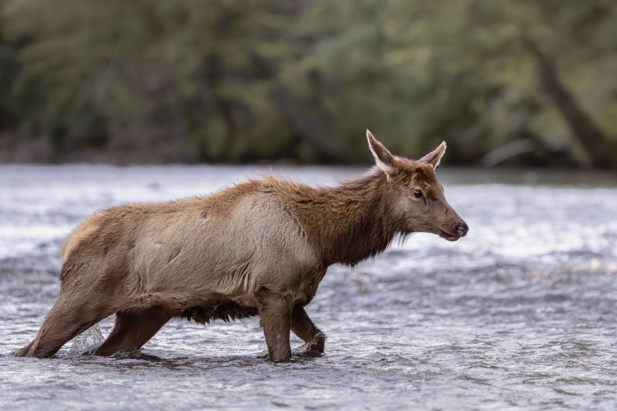
Oconaluftee sits just inside the park’s North Carolina entrance near Cherokee, around 2,000 feet, and it’s the most reliable spot on this list for wildlife in fog. Elk graze the river bottoms year-round, and on cold, still mornings they move through mist thick enough to blur their outlines into silhouettes. Park at the Oconaluftee Visitor Center lot before sunrise and walk the river trail rather than staying roadside, since that’s where elk actually feed. Highway 441 backs up with cars stopping to photograph elk from the shoulder, so arrive before full light or you’ll park a quarter mile out. Rut season (September through October) brings bigger crowds and more aggressive bulls; keep real distance, NPS recommends at least 50 yards.
Practical block: No fee. No permit. Flush restrooms at the visitor center (seasonal hours, typically 8am to 4:30pm, longer in summer). Gas in Cherokee, about 10 minutes south. Cell signal present at the visitor center, drops along the river trail.
4. Deep Creek, North Carolina
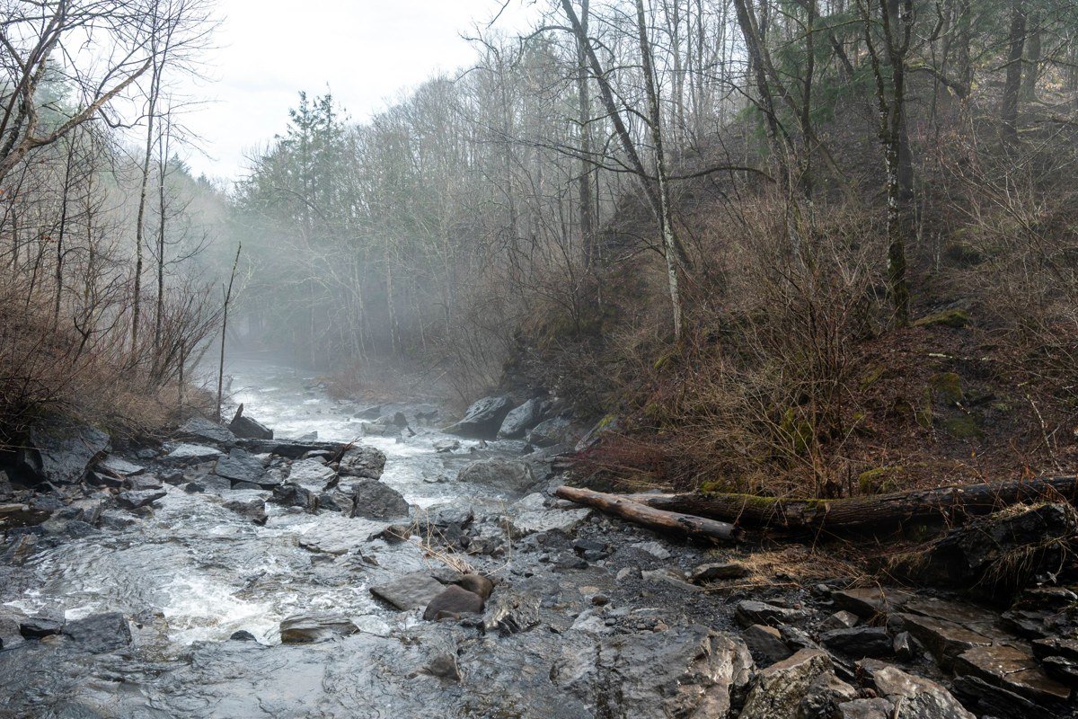
Deep Creek, outside Bryson City at roughly 1,800 feet, works differently than the open-valley coves: fog here comes off three waterfalls within an easy mile of trail (Juney Whank, Indian Creek, and Toms Branch Falls) and mixes with low mist off the creek itself. Walk the loop at sunrise in late spring or fall, when the day-to-night temperature gap is biggest, for drifting mist crossing the trail in sheets. The appeal is the sound as much as the look: moving water in fog-muffled forest. The trail draws tubing and family day-trip crowds by mid-morning, so sunrise really is the only quiet window, and the first mile turns slick when fog has been heavy overnight.
Practical block: No fee, no permit for day hiking. Vault toilets at the trailhead parking lot. Gas and a general store in Bryson City, about 10 minutes out. Cell signal weak to nonexistent on the loop.
3. Cades Cove, Tennessee
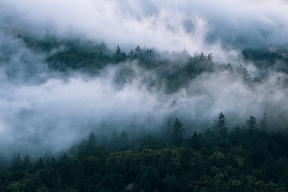
Cades Cove, reached via Townsend, is the most famous cove in the park and for good reason: a vast, flat, historic valley at about 1,800 feet, ringed by mountains, where fog pools across the entire floor on cool mornings, especially those following rain. The eleven-mile loop road is gated, and as of the current NPS schedule opens daily at 7am from April through mid-November and 8am from mid-November through March (check nps.gov before you go, these shift with daylight saving and occasional closures for road work). The real trick is timing your arrival at the gate itself, not driving in blind. Once inside, the pull-offs near the Cable Mill area and the open fields past Hyatt Lane are the most reliable fog pockets. Everyone knows this, though: the loop road backs up with cars stopping for deer and turkey within an hour of opening, and on weekends from spring through fall it can take two hours to drive the full loop. Go on a weekday, and go for the gate opening, not for the overlook later.
Practical block: $5 daily vehicle fee (Park It Forward tag, can be bought online or at self-pay stations). No permit for the loop drive. Flush restrooms at the Cable Mill area and the campground store. Gas at the Cades Cove Campground store (seasonal). Cell signal almost nonexistent inside the cove.
2. Wear Cove to Metcalf Bottoms corridor, Tennessee
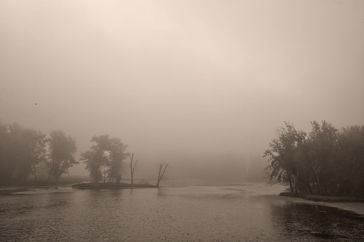
This stretch of Little River Road, between the Wear Cove area and Metcalf Bottoms picnic area, doesn’t show up on most lists because it isn’t a single named viewpoint, it’s a corridor, sitting around 1,600 feet. The river runs low and wide here, flanked by old-growth trees, and on calm mornings fog sits directly on the water while the surrounding slopes stay clear, a layered effect that changes minute to minute. Park at Metcalf Bottoms itself and walk the short distance to the river’s edge rather than shooting from the road. It’s close enough to Gatlinburg to combine with an early Cades Cove run on the same morning, which is exactly the pairing I’d plan with one weekend and a rental car. This fog is genuinely unpredictable, depending on recent rain and a calm, clear night, so a scouting check the evening before (sky conditions, recent rainfall totals) beats trusting any fixed schedule.
Practical block: No fee, no permit. Vault toilets at Metcalf Bottoms (seasonal, closed in winter). Nearest gas in Gatlinburg or Townsend, both about 15 minutes out. Cell signal unreliable along the river.
1. Cataloochee Valley, North Carolina
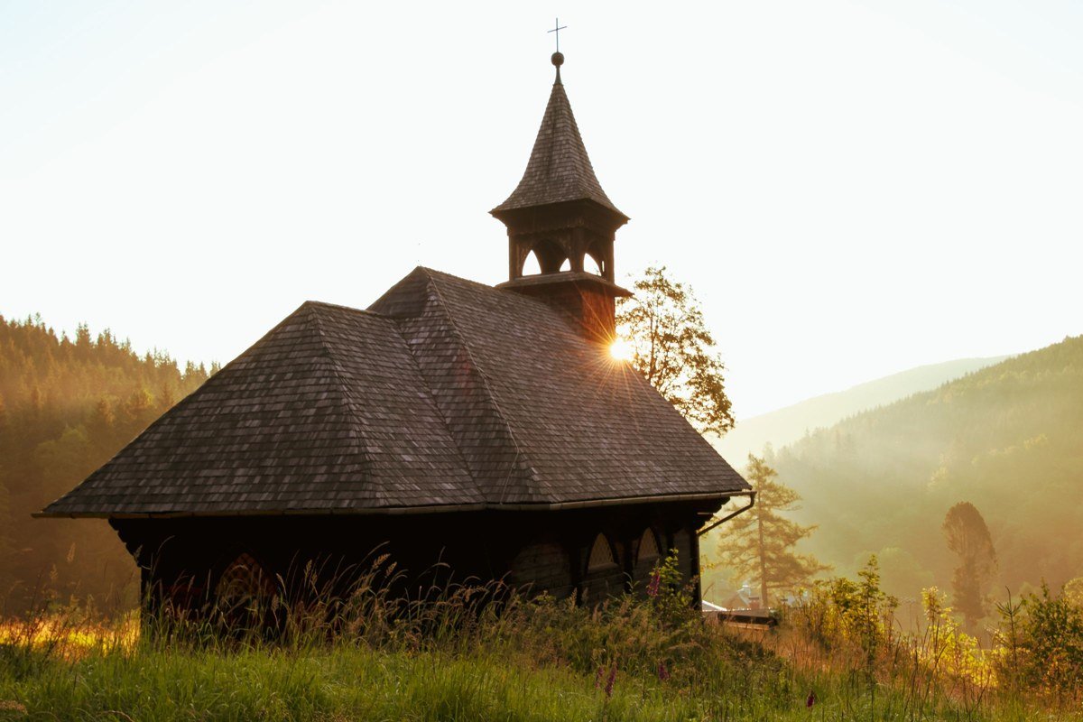
Cataloochee is remote enough that it filters out the day-trip crowds other coves can’t shake, and that is precisely what makes it the best Smoky Mountains sunrise in the park. It sits at about 2,600 feet, reached by a winding, partly gravel road off I-40 in North Carolina (figure on a deliberate twenty minutes off the highway; trailers or low-clearance cars should take it slow). Local ranger station staff, when I called ahead of my October 2023 visit, confirmed fog forms on most clear mornings below 45 degrees Fahrenheit, which in practice means the shoulder seasons, late September through November and April through early May, are the best bet. The valley is wide and historic, dotted with a restored church and barns, and holds one of the park’s elk herds, so a foggy sunrise here comes with animals moving through the mist and long sightlines down the valley floor as the sun clears the ridgeline. Get to the open fields near Palmer Chapel before first light and just wait; no hiking required, just stillness and patience. The honest trade-off is the drive: roughly two and a half hours from Knoxville or Asheville, longer than any other stop on this list, and there’s no cell service and limited facilities once you’re in. That isolation is the whole point.
Practical block: No fee, no permit for valley access (backcountry camping requires a separate permit). Vault toilets near the campground, no running water in winter. Nearest gas in Cove Creek or Maggie Valley, both 20 to 25 minutes out. No cell signal in the valley.
How I’d pick
First-timer with one day in the park: start at the Cades Cove gate for sunrise, then work the Metcalf Bottoms corridor on the drive out, since both sit along the same general route from Gatlinburg or Townsend. A couple with a weekend and a cabin rental: base yourselves in Townsend, hit Tuckaleechee at dawn one day, then make the drive to Cataloochee on the second morning as the trip’s centerpiece. A family with kids: Deep Creek gives you waterfalls, a short walk, and tubing later in the day once the fog burns off, which keeps everyone happy. Anyone serious about photography, willing to drive before sunrise with no cell signal and no bathroom nearby, should skip straight to Cataloochee and not apologize for it.