
Rialto Beach in fog looks nothing like Rialto Beach on a clear July afternoon. On a sunny day it’s a wide gray-sand beach with sea stacks poking out of the water like a postcard. Drop the fog in, and the same stretch of coast turns into something closer to a bone yard, with logs the size of city buses bleached white and stacked in piles that the tide rearranges every winter. One is a nice beach. The other is the reason people drive three hours from Seattle, Washington with no plan beyond standing in it.
That contrast is really the whole park in miniature. Olympic National Park isn’t one landscape, it’s three stapled together: temperate rain forest, alpine mountains, and fifty-some miles of wilderness coast, and the weather off the Pacific is what makes all three of them look the way they do. The marine layer that rolls in off the water doesn’t just sit on the beach, it climbs the valleys and hangs in the Sitka spruce, which is why the fog here feels less like weather and more like a mood the whole peninsula is in.
This one is for travelers who want the eerie, cinematic version of the Pacific Northwest, not the sunny one, and who don’t mind checking a tide table before they plan a hike.
The Coastal Strip Near Forks
This cluster sits off WA-110 outside Forks, Washington, the small logging town that’s the obvious home base for the coast. Everything here is within a 20 to 30 minute drive of town, covered by the park’s $30 per vehicle entrance fee (valid 7 days), and the Rialto and La Push lots are routinely full by 9am on August Saturdays.
Rialto Beach, Washington
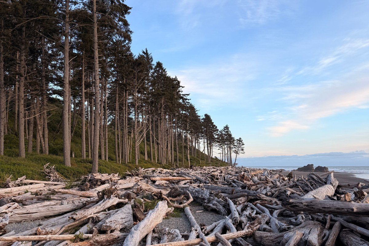
Rialto is the headline stop, and the driftwood is the reason. Storms haul entire old-growth trees down from the rivers and the ocean deposits them here in tangled, sun-bleached piles that look unsettlingly skeletal once the fog erases the horizon line behind them. The easy walk out to Hole-in-the-Wall is about 1.5 miles each way at low tide; check a tide chart before you go, because sections get cut off at high water, and the mileage looks shorter on the park map than it feels walking on loose sand. Go early. Fog is thickest in the morning and burns off, sometimes, by early afternoon.
Pair it with: James Island, visible just offshore, a 10 minute walk south along the same beach.
James Island viewpoint, Washington
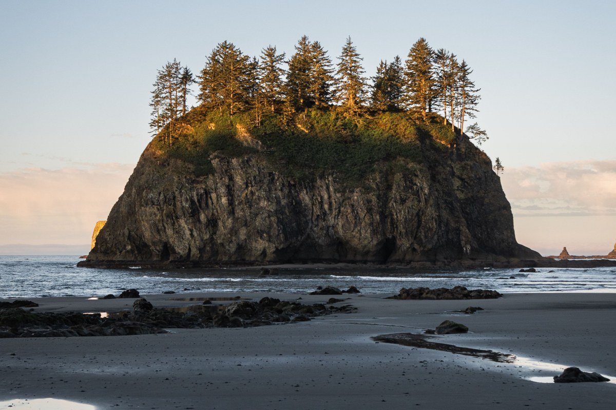
From the south end of Rialto and across the Quillayute River mouth at La Push, James Island sits just offshore like a dark cutout against the mist, forested on top and sheer-walled below. You can’t easily reach the island itself, but the view of it from Second Beach or the La Push waterfront is one of the most photographed silhouettes on the whole coast, especially with fog stacking behind it in layers. Bring a longer lens if you’ve got one; the island reads best compressed against the fog bank behind it.
Pair it with: Second Beach, a 10 minute drive south to the trailhead near La Push.
Second Beach, Washington
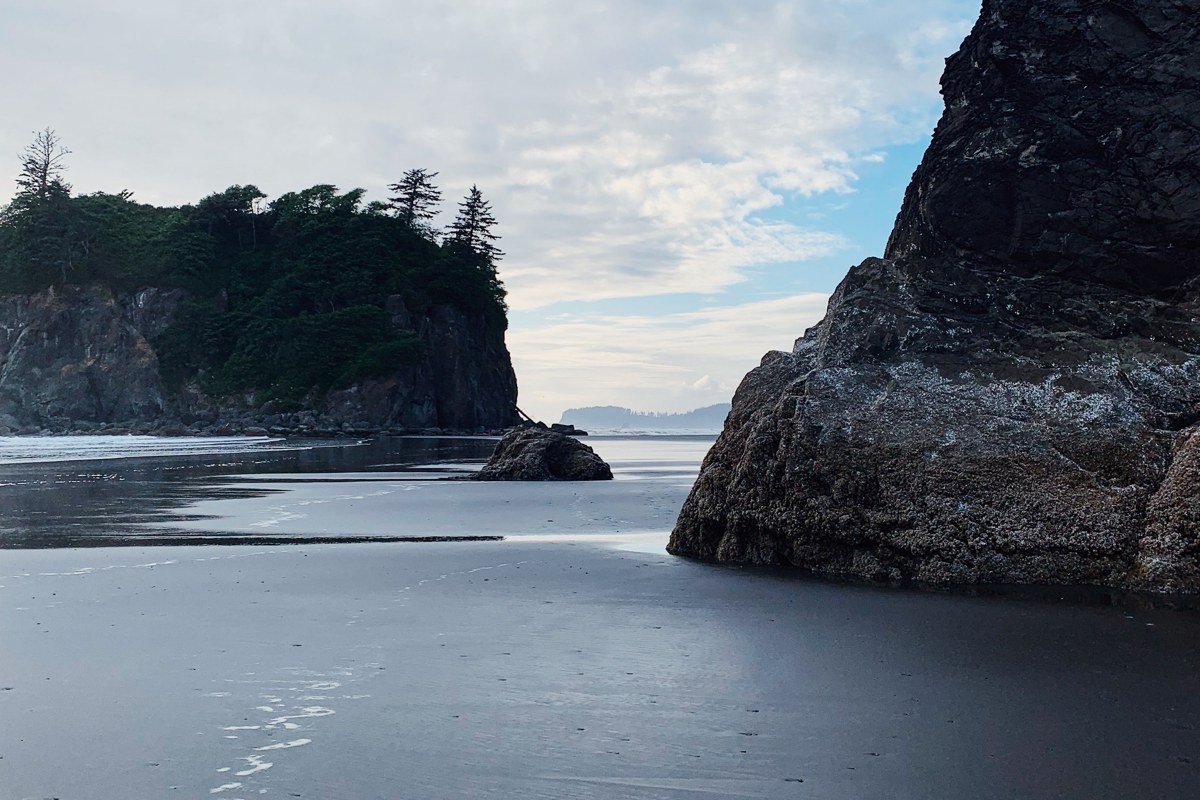
Second Beach gets less foot traffic than Rialto because it demands a 0.7 mile forest hike down to the sand, which filters out the drive-up crowd. The payoff is a crescent of beach ringed with sea stacks that look like a lost world when the fog sits low over the water. Low tide opens up tide pools and a sea cave at the north end. This is the one locals mention when someone says Rialto felt too crowded.
Pair it with: Rialto Beach, about a 25 minute drive north around through Forks.
The Hoh Rain Forest
This cluster is inland and east, about a 40 minute drive from Forks down Upper Hoh Road, 18 miles off US-101. Fog here behaves differently than on the coast: it doesn’t roll in and out, it just seems to live permanently in the canopy, dripping.
Hall of Mosses Trail, Washington
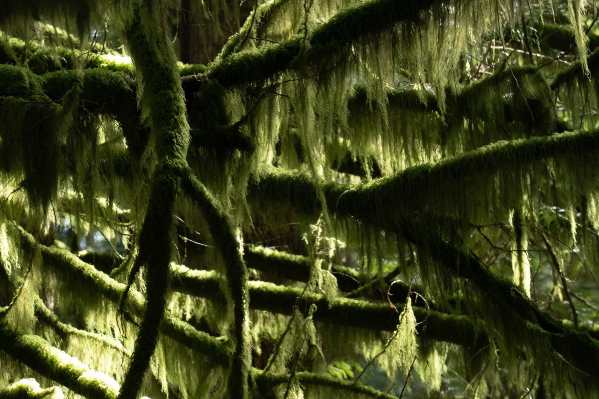
This 0.8 mile loop is the single most photographed trail in Olympic National Park, and it earns it. Bigleaf maples draped in club moss arch overhead, and on a foggy morning the moss seems to glow with the diffused light while everything past thirty feet dissolves into gray. Arrive before 9am if you can; the Hoh Rain Forest Visitor Center lot has a history of filling and closing to new entries by 10am on summer weekends, with rangers holding cars at the turnoff until space opens up.
Pair it with: Hoh River Trail, which starts from the same trailhead area.
Hoh River Trail, Washington
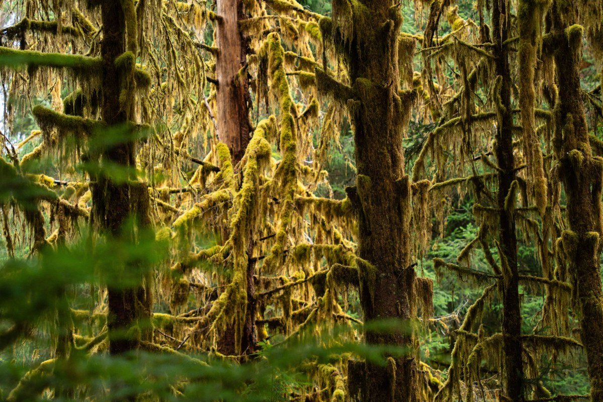
Where Hall of Mosses is a loop for everyone, the Hoh River Trail is the real backcountry route, running 17-plus miles up toward Blue Glacier on Mount Olympus for those with permits and gear. Most visitors just walk the first mile or two along the river flats, which is enough to get the full effect: towering spruce and hemlock vanishing into fog, elk tracks in the mud, and a silence that feels thicker than normal silence. Overnight stays require a wilderness permit booked through recreation.gov, at $8 per person per night on top of the trip reservation fee, and they’re worth planning around if you want sunrise fog with nobody else around.
Pair it with: Hall of Mosses Trail, same trailhead, five minutes apart on foot.
Lake Crescent and the Northern Corridor
Along US-101 between Port Angeles and Forks, this stretch is the easiest to combine with a trip through Port Angeles, Washington, the main gateway town and home to the park’s primary visitor center. No entrance fee is checked where the highway skirts the lake, though the fee applies once you turn off toward the interior.
Lake Crescent, Washington
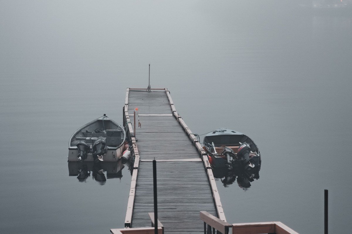
Lake Crescent’s water reads a startling, almost unnatural blue-green on clear days. The National Park Service attributes this partly to low nitrogen levels in the water, which limit the algae growth that would otherwise cloud it, combined with the lake’s depth and clarity. Fog turns the whole lake into something quieter and flatter, a sheet of pewter ringed by steep forested slopes. The Spruce Railroad Trail along the old rail bed is flat and easy, good for travelers who want lake views without a climb. Storm King Ranger Station marks the trailhead for Marymere Falls, a short, popular hike that gets busy by late morning.
Pair it with: Sol Duc Falls, about a 30 minute drive from the lake’s west end.
Sol Duc Falls, Washington
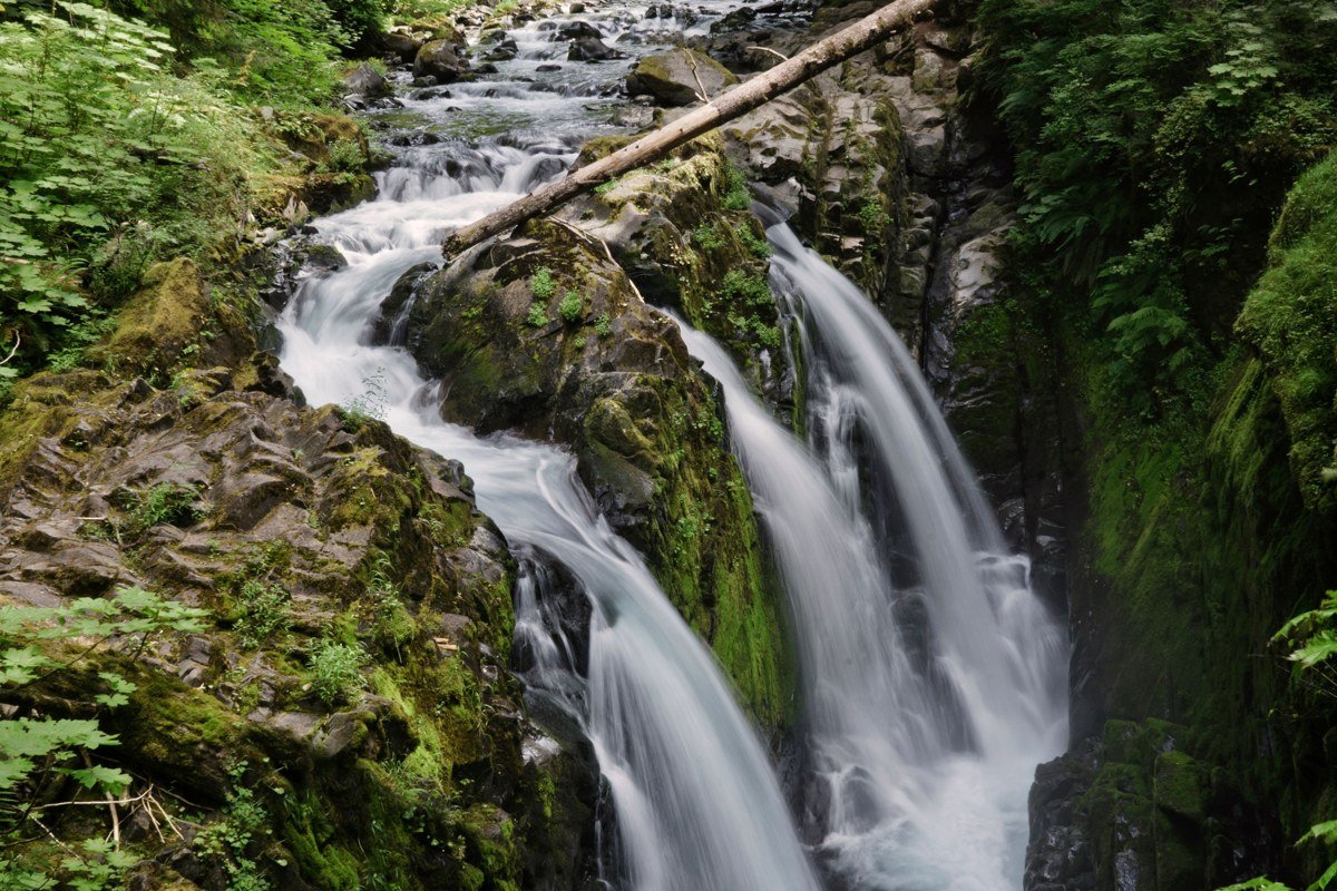
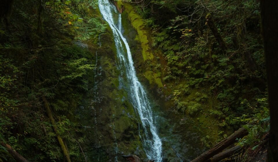
Sol Duc is a short 0.8 mile walk from the trailhead through dense, dripping forest to a waterfall that splits into three channels through a narrow gorge, throwing up its own mist that mixes with whatever fog is already sitting in the valley. It’s one of the few spots in the park where the fog is partly self-made, which makes for a scene that looks dramatic even on an otherwise clear morning. The Sol Duc Hot Springs Resort nearby is a reasonable lunch stop, open seasonally.
Pair it with: Lake Crescent, roughly 30 minutes back toward US-101.
Hurricane Ridge, Up and Out of the Fog
This is the counterpoint to everything else on this list, 19 miles up Hurricane Ridge Road from Port Angeles, and it belongs here precisely because of the contrast. On many days the lowlands and coast sit under a thick marine layer while the ridge, at nearly a mile high, pokes up into full sun above the cloud deck.
Hurricane Ridge, Washington
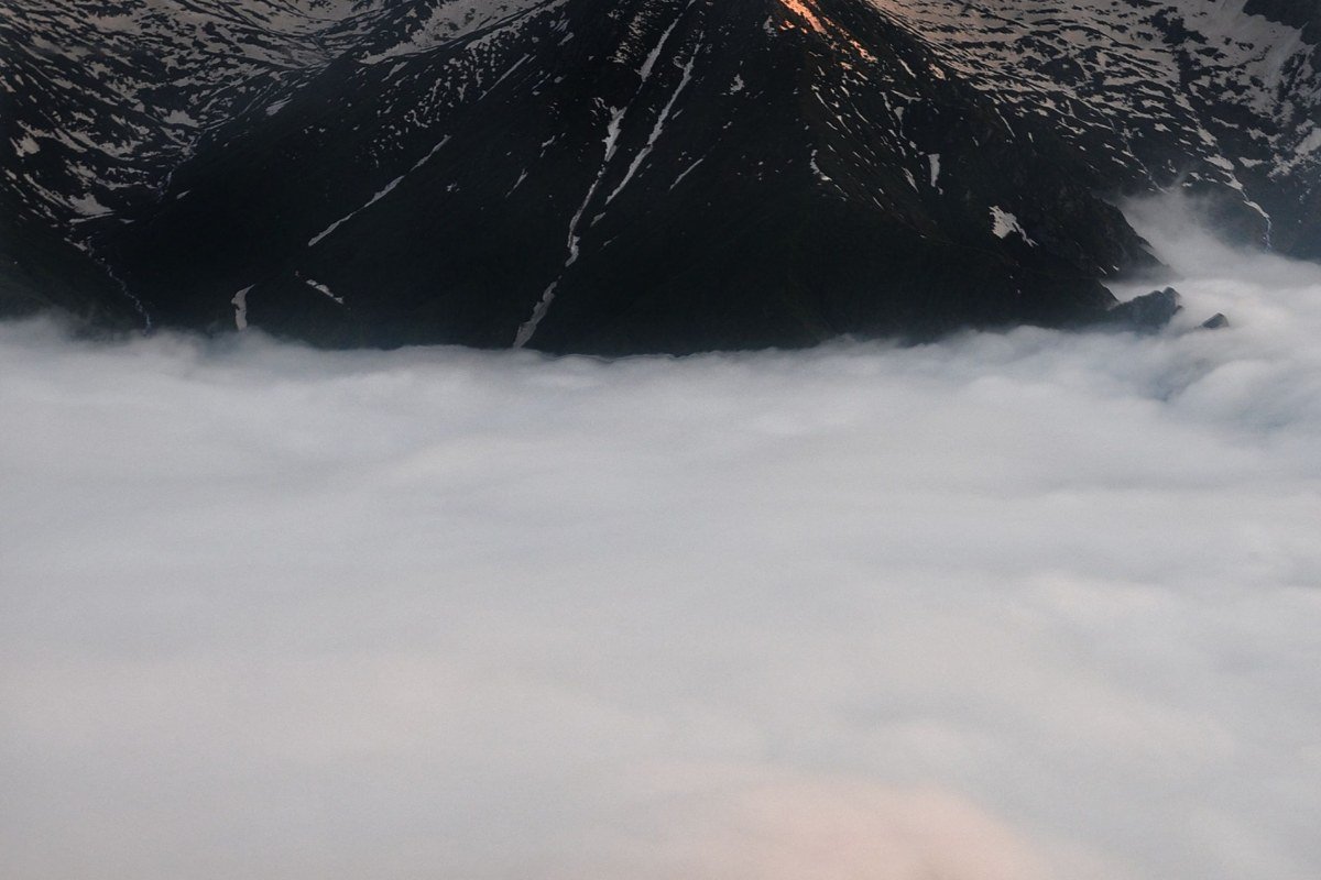
Standing above an unbroken sea of clouds with the Olympic Mountains cutting through it, with your breath visible even in July because the air at 5,200 feet runs a good 10 to 15 degrees colder than Port Angeles, and seeing both this and the ghostly coastal fog in the same 48 hours is the best argument for basing in Port Angeles rather than Forks. The road requires tire chains in winter (December through March) and closes entirely in bad conditions, so check the park’s road status line before driving up between those months. Summer brings wildflower meadows and blacktail deer that graze right up to the parking area, unbothered by visitors.
Pair it with: nothing else on the coast, really, this one stands alone as a half-day round trip from Port Angeles.
Planning the Trip
Port Angeles is the practical hub, about two and a half hours from Seattle by car via US-101 around Hood Canal, or faster with the Edmonds-Kingston or Bainbridge ferry if you time it right. There’s no central “ticket” to buy ahead; you pay the $30 per vehicle entrance fee at a station or display a park pass, and the $55 Olympic annual pass pays for itself in two visits. One thing the fee station won’t tell you: that pass only covers entrance, not camping or the backcountry permit fees above, so budget those separately. Camping runs $24 to $28 per night at Mora, Kalaloch, and Sol Duc, first-come or reservable depending on season and campground, and sites fill by early afternoon on Friday going into summer weekends.
On timing: July through September is the driest, sunniest stretch and the best window to count on Hurricane Ridge actually being open and clear, but it’s also when fog is least reliable on the coast, since fog needs the cooler, damper shoulder months to really thicken. Late fall through winter brings the most dramatic, moodiest fog and almost nobody else on the beach, at the cost of rain that doesn’t let up for days. Spring is the compromise most locals quietly prefer: fewer crowds than summer, fog that still shows up most mornings, and rhododendrons blooming along US-101 in May.
If you only have a long weekend, go coastal. The Forks cluster gives you the single image this whole trip is built around, driftwood rising out of fog like bleached ribs, and it pairs easily with the Hoh an hour away. Save Hurricane Ridge for a trip when you also want mountains, because mixing all three regions properly needs five or six days, not three.