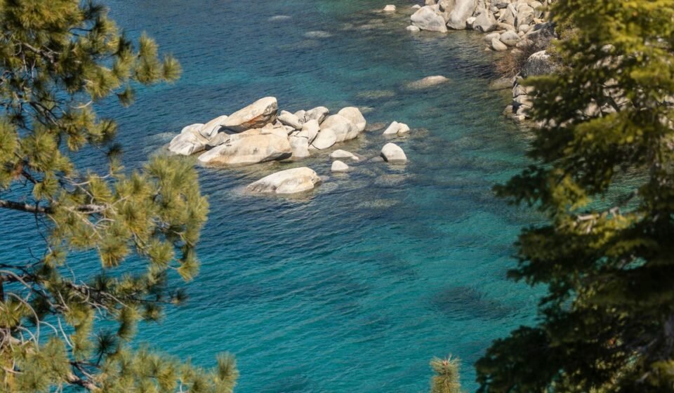

Everyone’s Pinterest board has the same photo of Sand Harbor’s turquoise water packed with kayaks, or the Emerald Bay overlook with forty cars parked on both shoulders of Highway 89. Compare that to Markleeville, California, where you can still get a parking spot in front of the general store in July, or Crystal Bay, Nevada, where the casino lights are the only crowd you’ll find. Lake Tahoe straddles two states and sits at an elevation around 6,225 feet. The water stays cold even in August, which matters if you’re planning to swim and not just photograph it. This loop uses that whole shoreline, not just the postcard third of it.
The route below is a full lap of the lake plus a detour, roughly 160 miles if you drive it start to finish without backtracking, done comfortably over 4 to 5 days. It starts in Truckee, California, on the north end, runs clockwise down the quieter east shore into Nevada, around the south end, up the less-photographed west shore, and finishes with a climb into the high country above Markleeville before dropping back down. Budget extra time in winter: chains or snow tires are not optional between December and April, and storms here move in fast enough to close roads with little warning.
Stop 1: Truckee, California
Truckee sits about 30 miles from Reno, Nevada and roughly 200 miles from the San Francisco Bay Area, which makes it the most practical first night for most road trippers. The old downtown still has its 1800s rail-town brick facades, and it’s a working town with a grocery store and a hardware store, not a resort village built for tourists. It’s also where I-80 meets Highway 89, so it’s the natural hinge point for a Tahoe loop in either direction. For cabins, look toward the Tahoe Donner area a few minutes north of downtown, where three-bedroom rentals commonly run $200 to $300 a night in summer, well under what a lakefront listing on the west shore will cost for the same square footage. For dinner, Pianeta Ristorante downtown does solid Italian in a quieter setting than the brewpubs that cluster near the tracks.
Next leg: 15 minutes south on Highway 89 to Kings Beach.
Stop 2: Kings Beach, California
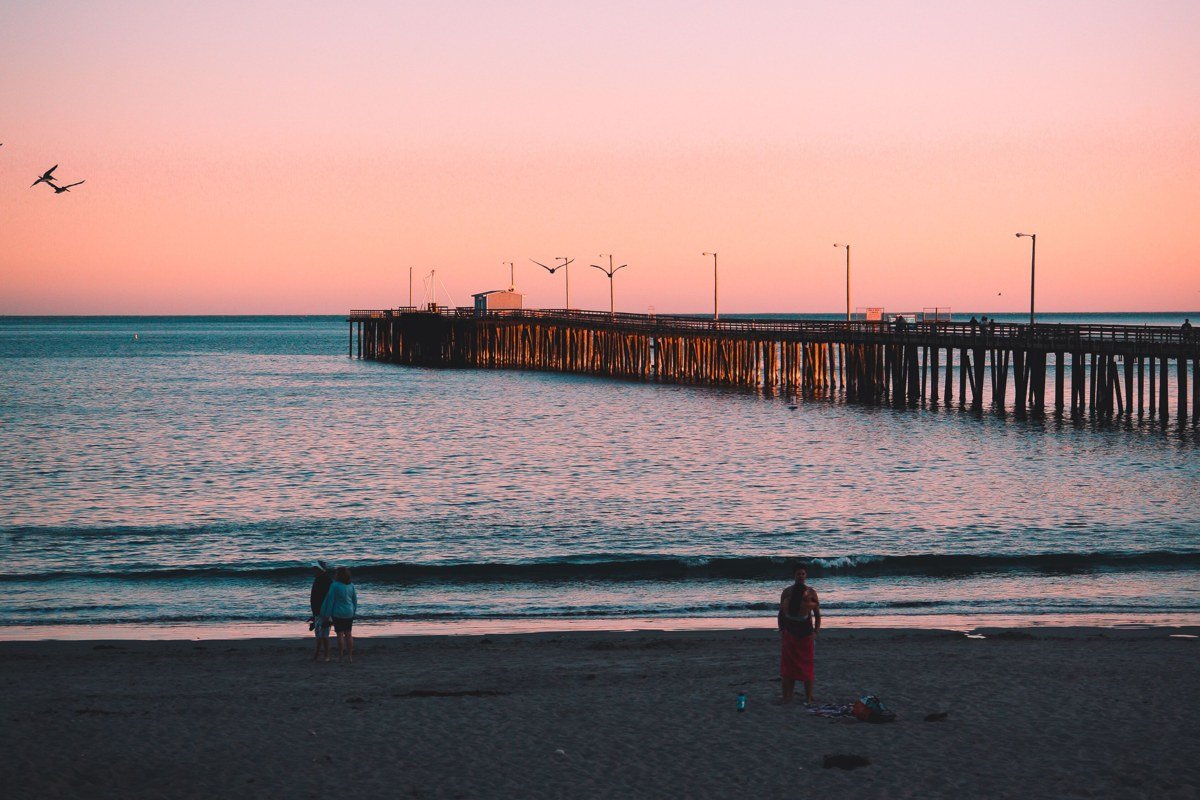
Kings Beach gets overlooked because it sits right next to flashier Tahoe City, but it has one of the better public beaches on the lake. The Kings Beach State Recreation Area charges a day-use parking fee (around $10 to $12 depending on season) and, unlike most north shore access points, still has open spots by midmorning in July. The main strip runs more taquerias and dive bars than boutiques, Tahoe Biltmore included. Try Char-Pit for a no-frills burger before you hit the sand. This is a good base if you want lake access without lakefront prices.
Next leg: 10 minutes northeast on Highway 28 into Nevada, to Crystal Bay.
Stop 3: Crystal Bay, Nevada

Crystal Bay is the first town you hit crossing into Nevada, and it’s where Tahoe’s small, old-school casino scene lives: a handful of low-key properties instead of the Stateline strip. The state line itself runs straight through the Cal Neva Lodge’s floor, which is a strange, fun thing to stand on. Rooms at the Crystal Bay Club commonly drop under $100 a night midweek even in August, and the Tahoe Biltmore’s buffet is cheap enough to cover dinner for two for under $30. It puts you right at the start of the east shore drive, which is the most underrated stretch of the entire lake.
Next leg: 20 minutes south on Highway 28 along the east shore to Sand Harbor, then on to Incline Village.
Stop 4: Incline Village, Nevada
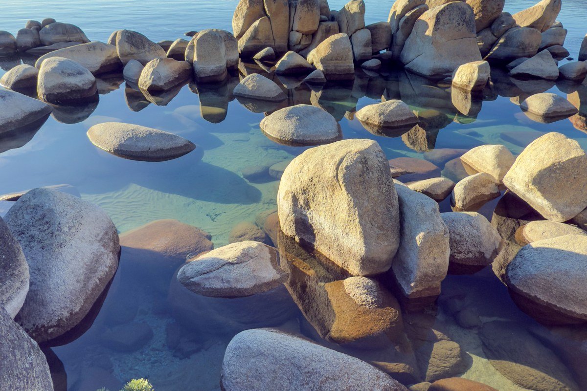
Incline Village has genuine wealth concentrated in it, home prices here run well above the Tahoe basin average, but Nevada’s lack of a state income tax and the absence of casino zoning keep it residential and calm compared to the south shore. The golf courses around Incline (there are two, Championship and Mountain) often run $50 to $80 cheaper per round than the famous Edgewood course across the lake. This is also your jumping-off point for Sand Harbor just south of town: the entrance fee runs about $10 per vehicle and is worth paying once, early, before 9 a.m., rather than fighting the midday parking lot. For lunch, Grindstone Cafe in Incline Village does a breakfast burrito big enough to split before the hike.
Next leg: 45 minutes south on Highway 28, then Highway 50, hugging the east shore to Zephyr Cove.
Stop 5: Zephyr Cove, Nevada
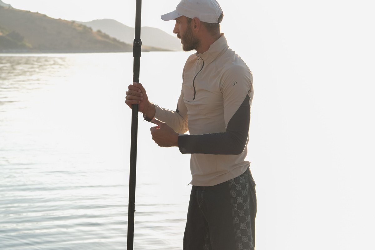
Zephyr Cove has the sandy beach most people picture when they picture Tahoe, minus the west shore traffic. It’s also the marina where the Tahoe Gal and the M.S. Dixie II, the lake’s paddlewheel cruise boats, launch from, tickets run around $65 to $85 depending on the route, a genuinely nice way to see Emerald Bay from the water without fighting for a trailhead parking spot. The Zephyr Cove Campground runs about $55 to $65 a night for a tent site and books out early for summer, so reserve months ahead, not weeks.
Next leg: 15 minutes south on Highway 50 into South Lake Tahoe.
Stop 6: South Lake Tahoe, California
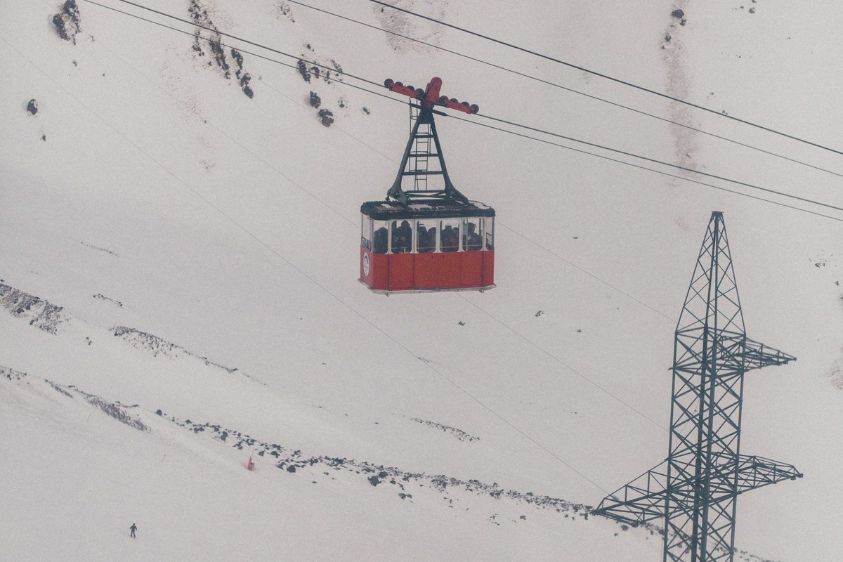
South Lake Tahoe is the one stop on this list that isn’t exactly a secret, but it earns its place because of what it enables. The Heavenly Gondola runs around $75 for an adult day ticket, pricier than it should be for just the ride, but fair if you plan to use the mountaintop trails too, not just go up and down. From here you also get access to the Tahoe Rim Trail. The hike up to Star Lake from the High Meadow Trailhead is the one worth the effort: about 6 miles up to 9,000 feet to a quiet alpine lake good for fishing or an overnight, as long as you’ve pulled a campfire permit from the Forest Service first. BlueGo runs local buses here and the ski resorts run their own free shuttles in winter, so this is one of the few Tahoe towns where you can actually skip renting a car for a few days. Water temperature even at the height of summer barely creeps into the high 60s, so swimming here is bracing, not bathtub. Grab a burrito at Taqueria Jalisco before the gondola line opens.
Next leg: 20 minutes west on Highway 89 to Emerald Bay and Camp Richardson.
Stop 7: Camp Richardson, California
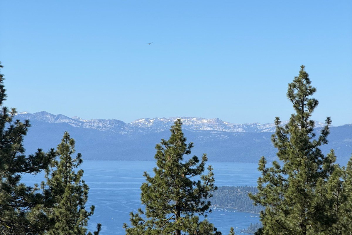
Camp Richardson is the quiet rebuttal to Emerald Bay’s chaos a few miles up the road. The overlook parking at Emerald Bay fills before 9 a.m. on summer weekends and the hike down into the valley is lovely but crowded; Camp Richardson gives you the same shoreline, historic rustic cabins dating to the early 1900s, and a boat launch without the scramble for a spot. The resort’s own cabins, the ones without a lake view, run roughly $150 to $200 a night in peak season, noticeably less than anything directly on the Emerald Bay side. The Beacon Bar and Grill right on the sand is the move for a lakeside burger and a Rum Runner, a house drink they’ve served for decades.
Next leg: 30 minutes north on Highway 89, past the west shore crowds, to Tahoma.
Stop 8: Tahoma, California
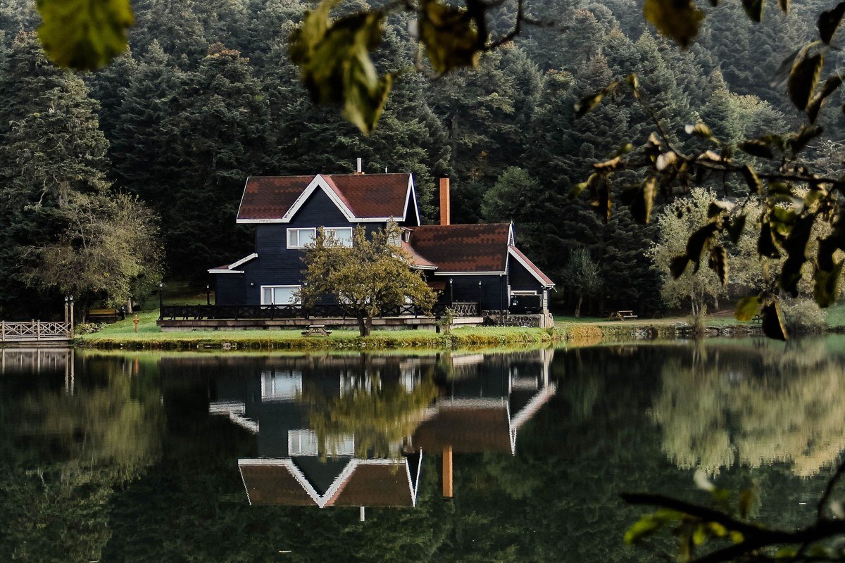
Tahoma is a scatter of old cabins under sugar pines along West Lake Boulevard, with almost none of the traffic that clogs Tahoe City and Homewood a few miles north. Rentals along this stretch, mostly small, older A-frames rather than new builds, often run $180 to $250 a night in summer. The Homewood Mountain Resort chairlift just up the road runs a scenic summer ride for around $20 to $25 and gives you the best lake view on this entire shore; most visitors don’t bother with it outside ski season, so you can ride up on a summer afternoon with almost no line. Stop at the West Shore Market in Homewood on the way through for sandwiches to eat lakeside.
Next leg: About 1 hour south on Highway 89, then east on Highway 88 and south on Highway 89 again, climbing into the high country to Markleeville.
Stop 9: Markleeville, California
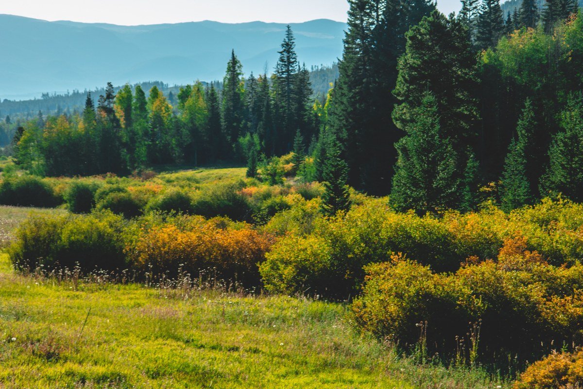
Markleeville sits well outside the Tahoe basin proper, up Highway 88 and down into Alpine County, but it’s the right closing stop on this loop: a one-street town with a working general store, hot springs nearby at Grover Hot Springs State Park (day use runs about $10 per adult), and roads that empty out almost entirely once Labor Day passes. Cabins here, several of the rentals are converted 1900s mining-era homes right along Montgomery Street, commonly go for $120 to $160 a night, a fraction of anything lakefront. The Cutthroat Brewery in town is worth the stop before the long climb back down. Be aware this route over the passes closes or gets dicey with the first heavy snow, usually sometime in November, so this final leg is a late spring through fall move, not a winter one.
If you’re doing this loop in winter instead, this final stretch is the one to cut.
Doing it in reverse, or if you only have 3 days
Running the loop counterclockwise works just as well: start in Markleeville, climb out to Tahoma, then work the west and south shores before finishing on the quieter east side and rolling into Truckee for a last night near I-80. Either direction gets you the same towns, just with the crowds thinning as you go instead of building toward them.
With only 3 days, skip the full loop and do the east shore spine: Truckee to Crystal Bay to Incline Village to Zephyr Cove, with a detour into South Lake Tahoe for one hike or gondola ride. That’s the stretch where cabin prices are lowest relative to lake access, parking is still manageable, and you get Sand Harbor’s water without Emerald Bay’s gridlock. Go in June or September if you can; July and August bring the highest prices and the worst parking, and midwinter storms can close the connecting passes with little warning, so shoulder season is genuinely the best time to visit if swimming or hiking is the point, not just skiing.