
Here’s the mistake: most people build a Utah national parks road trip around Zion, Bryce Canyon, Arches, and Canyonlands, then glance at the map, see Capitol Reef sitting in the middle of nowhere, and cut it to save a day. That decision is exactly why Capitol Reef stays the least-visited of Utah’s Mighty Five while the other four strain under traffic jams and timed-entry reservations. This loop keeps it in, because the quiet park in the middle turns out to be the best part of the trip.
The full route runs about 760 miles as a loop, starting and ending in Las Vegas, Nevada, and takes 7 to 9 days if you want time to actually hike rather than just photograph trailhead signs (the leg-by-leg mileages below add up closer to this figure than to a rounder number, since the detours to Goblin Valley and Natural Bridges add real distance). It strings together all five Utah parks plus the scenic road between them, and it’s built so you can shorten it from either end depending on whether you’re flying into Las Vegas, Salt Lake City, Utah, or Denver, Colorado.
Stop 1: Zion National Park, Utah

Zion is the loop’s logical opener if you’re coming from Las Vegas, about a 2.5 hour drive to the south entrance in Springdale. It’s also the park most likely to wreck your schedule if you don’t plan around it: the Zion Canyon Scenic Drive requires the park shuttle for most of the year, and Angels Landing now requires a permit won through a lottery system (the application costs $6, and if you win, the permit itself is $3 per person), so decide on that before you arrive, not at the trailhead. The Narrows and the Emerald Pools are worth a full day between them, and parking in Springdale fills early, so stay overnight and walk in. In Springdale, lodging runs roughly $200-350/night for a standard motel-grade room in high season; Cliffrose Springdale and the Desert Pearl Inn sit at the upper end of that band, while budget motels closer to the park boundary can dip toward $150 in shoulder season. For food, the Spotted Dog Cafe at Flanigan’s Inn is a reliable sit-down option after a full day on the trail. Early April through May and September through October are the sweet spots; July and August bring triple-digit heat in the canyon bottom and the monsoon season raises real flash flood risk in the Narrows.
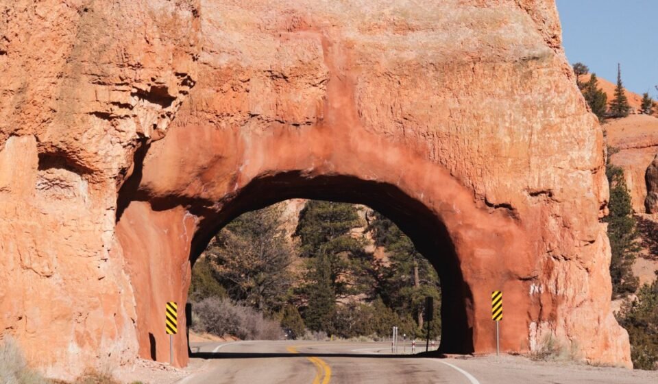
Route note: from Zion, it’s about 1.5 hours east on Highway 9 and US-89 to Bryce Canyon.
Stop 2: Bryce Canyon National Park, Utah
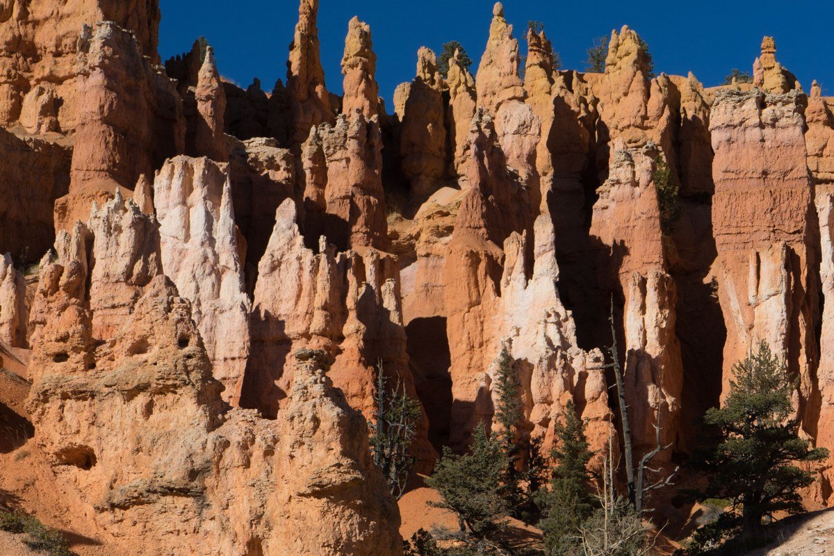
Bryce sits at over 8,000 feet, which means it’s noticeably cooler than Zion and also the first park on this loop where winter closures start to matter: the main road stays open year round, but snow and ice linger into spring and some trail sections close seasonally. Sunrise Point and Sunset Point are absurdly close to the parking area, which is exactly why they’re crowded by 8 a.m.; walk the Rim Trail a half mile further and you get the same hoodoo views with a fraction of the people. The Navajo Loop and Queens Garden combo runs about 2.9 miles round trip with roughly 600 feet of elevation gain and is the best half-day hike in the park for the effort involved. If you’re asking whether March is a good time to visit, Bryce is the one park on this loop where I’d say wait, the high elevation means snowpack can still close trails and the campgrounds aren’t fully running yet.
Route note: from Bryce, it’s roughly 2 hours northeast on Highway 12, the Scenic Byway, to Capitol Reef.
Stop 3: Capitol Reef National Park, Utah
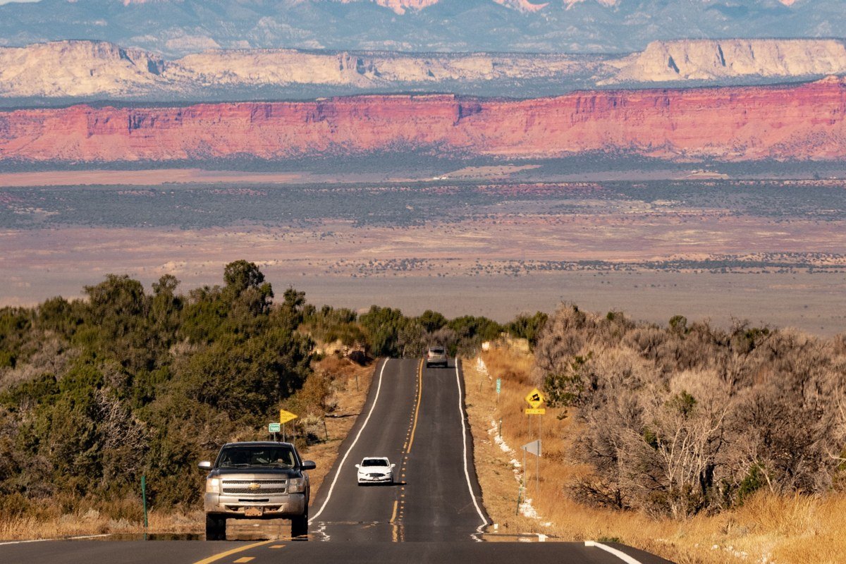
This is the stop that makes the loop worth doing right. Capitol Reef protects the Waterpocket Fold, a 100-mile wrinkle in the earth’s crust, and because it draws a fraction of the visitors Zion or Arches do, you can still pull into the Hickman Bridge trailhead midday in June and find parking. The hike itself is 1.8 miles round trip with about 400 feet of elevation gain, short enough to fit in before lunch. The historic Fruita district has a working orchard planted by Mormon settlers in the 1880s, and in season you can walk in and pick fruit for a small self-serve fee, which is not something you’ll find at any other Utah park. Capitol Gorge is a 2-mile round trip out-and-back along a dry wash with almost no elevation change, and the Grand Wash runs 4.4 miles round trip if you go all the way through; both deliver the slot-canyon feeling of a Zion hike without a single permit or shuttle line. The Scenic Drive past the orchards costs nothing extra beyond the entrance fee ($20 per vehicle, good for 7 days), and camping at the Fruita Campground runs $25/night if you want to wake up under the orchard trees. Highway 24 through the park is free to drive and most road trippers blow through it in twenty minutes without stopping once, which is their loss given what’s visible from the car alone.
Route note: from Capitol Reef, it’s about 2.5 hours east on Highway 24 and Interstate 70 to Green River, then south on Highway 191.

Stop 4: Goblin Valley State Park, Utah
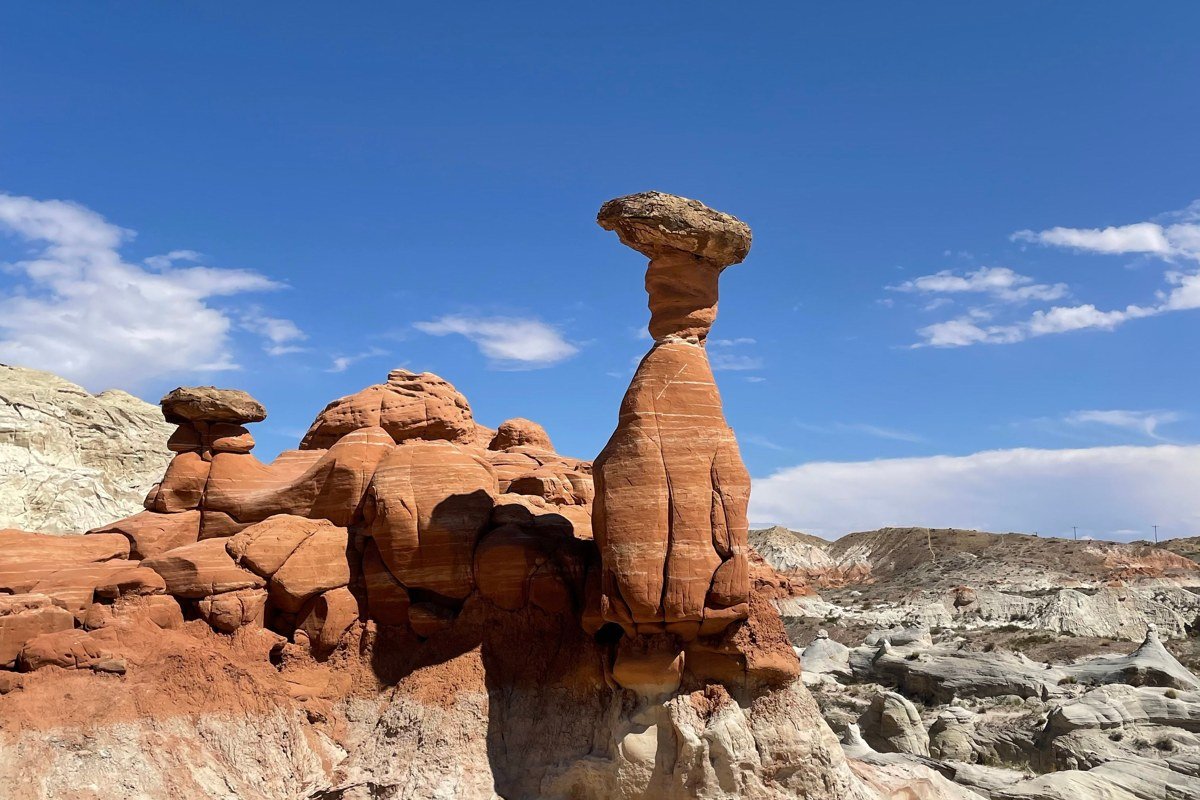
Goblin Valley isn’t a national park, which is exactly why it earns a stop: it’s a short detour off Highway 24 between Capitol Reef and Moab, and it’s one of the only places in the Southwest where you’re allowed to walk freely among thousands of mushroom-shaped hoodoos without a marked trail. Kids who’ve been strapped into a car seat for three park days can finally run loose here, which makes this the single best stop on the whole loop if you’re doing a Utah national parks road trip with kids. Entrance is $20 per vehicle. There’s no shade and almost no services, so bring water and go early or late to avoid the worst sun. It’s a 30 to 45 minute detour off the direct route and worth every minute of it.
Route note: from Goblin Valley, it’s about 1.5 hours back to Highway 24, then southeast toward Moab, roughly 2 hours total.
Stop 5: Arches National Park, Utah
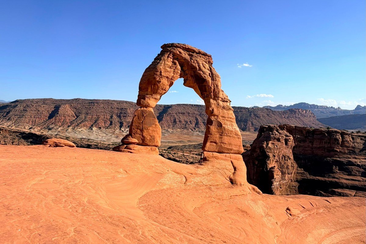
Arches now runs a timed-entry reservation system for peak hours during the busy season, and this is the detail that trips up people building their itinerary off a years-old blog post, so check current entry requirements before you drive up. Delicate Arch is the postcard shot, but the trail to it is exposed slickrock with no shade and gains real elevation, so do it in early morning or save it for sunset rather than midday in July. Devils Garden has more arches in a single hike than anywhere else in the park and gets far less crowding pressure than Delicate Arch or the Windows section. Stay in Moab, which also functions as the base camp for Canyonlands. Lodging here runs about $150-300/night in high season; the Gonzo Inn is a solid mid-range pick downtown, and Moab Garage Co. is worth a stop for coffee before an early trailhead start. Moab also has the best food and gear shops on this entire loop, a function of its size relative to Springdale and Kanab, not just local reputation.
Route note: from Arches, it’s about 40 minutes southwest on Highway 191 to Canyonlands’ Island in the Sky district.
Stop 6: Canyonlands National Park (Island in the Sky), Utah
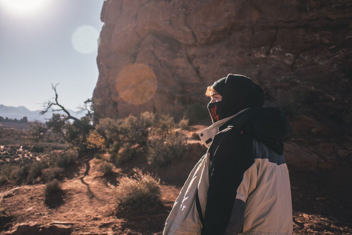
Island in the Sky is the easiest district to reach from Moab and the one most road trippers mean when they say they “did Canyonlands.” Mesa Arch is the famous sunrise shot, worth the 5 a.m. alarm if you’re there in shoulder season when sunrise isn’t absurdly early. Grand View Point delivers one of the best canyon panoramas in all five parks for the cost of a short walk from the parking lot, which makes it the highest payoff-to-effort stop on this entire route. If you have an extra day and a high-clearance vehicle, the Needles district two hours south offers a completely different, more intimate red-rock experience, but most road trippers skip it for time, and that’s a reasonable call on a standard loop.
Route note: from Canyonlands, it’s about 1 hour back to Moab, then roughly 3 hours southwest on Highway 95 and 191 toward the Natural Bridges area and the return leg.
Stop 7: Natural Bridges National Monument, Utah
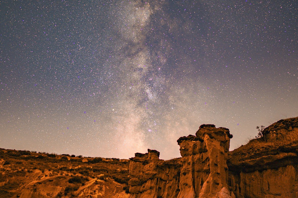
This is the quietest stop on the entire route and a good answer to anyone wondering how far apart the five parks actually are: the honest answer is far enough that a monument like this, sitting roughly between Canyonlands and the southern return leg, fills in what would otherwise be a long empty drive. A 9-mile loop road passes three natural bridges, each reachable by short overlooks or longer canyon-floor hikes if you want to stretch your legs. It’s also one of the best stargazing spots in the state: it was the first International Dark Sky Park designated anywhere, and there’s almost no light pollution for a hundred miles in any direction.
Route note: from Natural Bridges, it’s about 2.5 hours southwest on Highway 95 and 89 toward Kanab, Utah, positioning you for the drive back to Las Vegas or a detour to the North Rim of the Grand Canyon in Arizona if your schedule allows.
Stop 8: Kanab, Utah
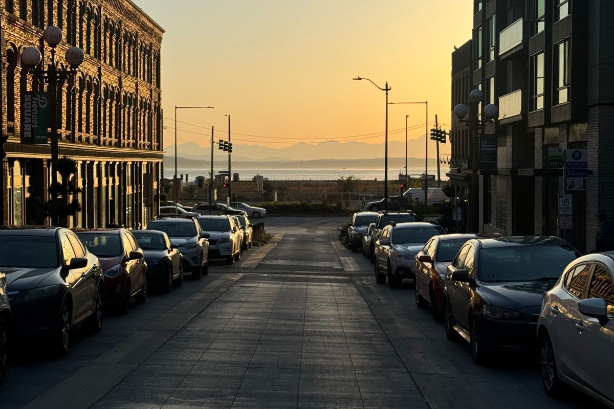
Kanab isn’t a park, it’s the hinge the whole loop swings on. It sits within range of Zion, Bryce, the North Rim of the Grand Canyon in Arizona, and the slot canyons of the Paria Canyon area, which makes it the obvious final overnight before closing the loop back to Las Vegas. Lodging runs noticeably cheaper here than in Springdale or Moab, typically $120-200/night for a comparable room; the Canyons Lodge is a reliable mid-range option, and Sego Restaurant covers the one notable sit-down dinner in town. From here it’s a straight shot back to where the loop started.
How far apart are the parks, really
People ask this because the map makes Utah look compact and it isn’t. Zion to Bryce is about 85 miles but over 1.5 hours because of the mountain road. Bryce to Capitol Reef is around 120 miles. Capitol Reef to Moab, where you’ll base for Arches and Canyonlands, is close to 150 miles with almost nothing in between except Goblin Valley. Moab to Natural Bridges, via Canyonlands, runs another 130 miles, and Natural Bridges to Kanab is roughly 150 miles on top of that. Add it up and the total drive distance for the full loop lands around 760 miles, not the smaller number you’d guess from looking at a flat map. Budget more drive time than Google Maps suggests, because nearly every road through this region is two-lane and shared with RVs.
Doing it in reverse, or if you only have 3 days
Running this loop counterclockwise, starting from Salt Lake City, Utah or Denver, Colorado, works just as well and actually shortens the drive into Arches and Canyonlands since you hit Moab first. If you only have 3 or 4 days, do not attempt all eight stops. Pick Zion and Bryce as a tight southern loop from Las Vegas, or pick Arches, Canyonlands, and Capitol Reef as an eastern loop from Salt Lake City, about 3.5 hours to Moab. Either half keeps Capitol Reef in the itinerary, which, after all of this, is really the point.