
Everyone who drives from Bryce Canyon to Zion National Park takes the same 90 minutes on Highway 89 and Highway 9, and almost everyone stops at exactly the same three pullouts. Then there’s Kodachrome Basin, twenty minutes off that route, where you can walk among sixty-foot rock spires the color of a campfire. Zion’s main canyon gets the crowds because it earns them. But this stretch of southern Utah, from Bryce down through Kanab and into the Zion backcountry, is where a different kind of southwest road trip happens, one with fewer lines and more pulling over.
The landscape here reads the way it does because you’re crossing the Grand Staircase, a series of rock layers stacked like a bookshelf that drops in elevation from Bryce (around 8,000 feet) down to Zion (around 4,000 feet) over roughly eighty miles, according to park signage along Highway 89. That elevation change means real weather swings: snow can close Bryce’s rim road in winter while Zion sits pleasant and green. Spring and fall are the sweet spot, with summer bringing triple-digit heat in the lower canyons and flash flood risk in slot canyons that closes them without warning.
This route is for travelers who’ve already done a Southwest national parks trip once, who want the version with fewer shuttle lines and more pulling over, and who don’t mind a little gravel under the tires.
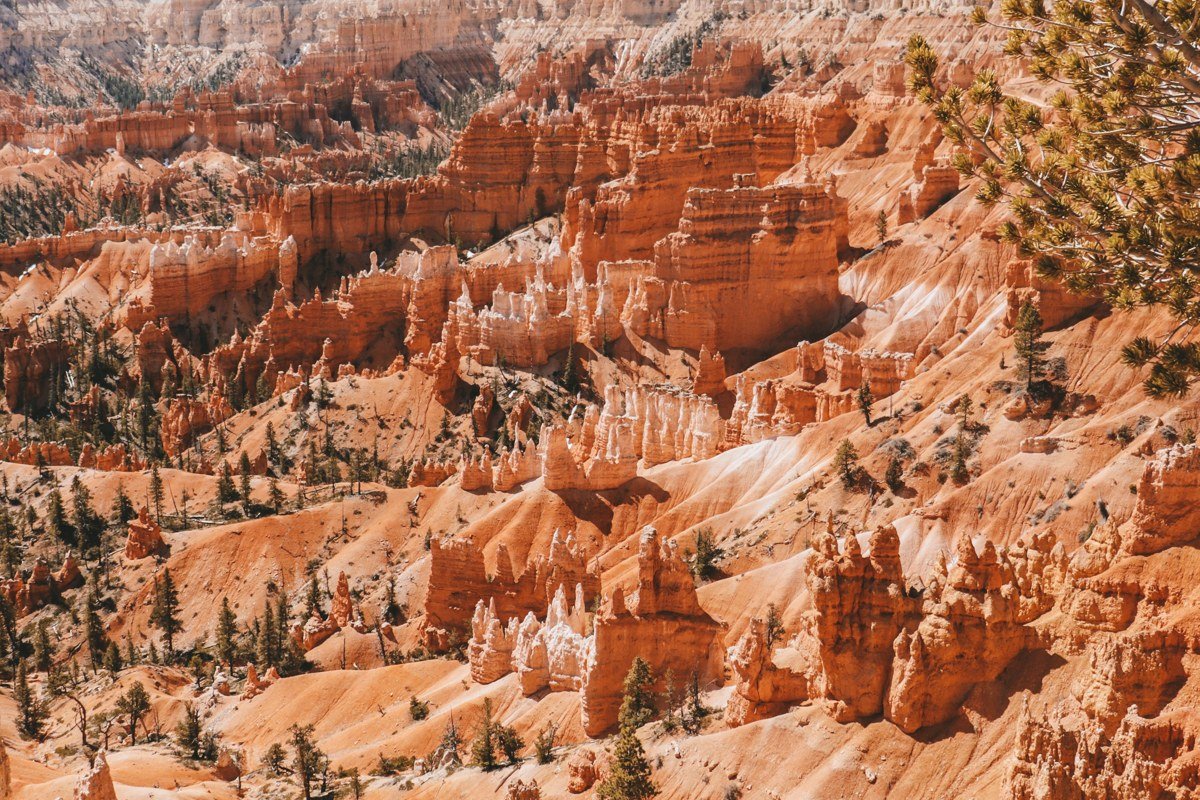
Bryce Canyon country
Kodachrome Basin State Park, Utah
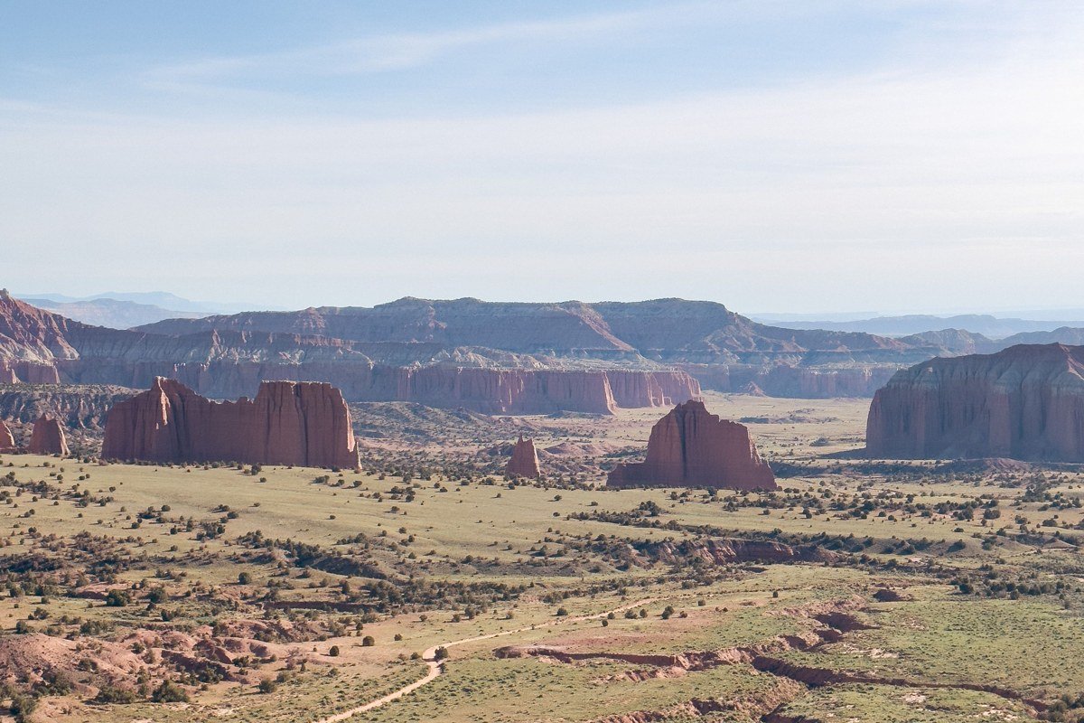
Named by a 1940s National Geographic expedition, this park is built around sixty-plus sand pipes, rock spires that formed when ancient geyser deposits hardened while the softer sandstone around them eroded away, per Utah State Parks geology notes. The 3-mile Panorama Trail loops past most of the best formations with almost no elevation gain, which makes it one of the easier serious hikes in this whole region. Entrance is $10 per vehicle, and the campground rarely fills even in peak season, unlike anything inside Bryce itself.
Pair it with: Bryce Canyon’s main amphitheater, a 25-minute drive north on Highway 12 and Highway 63.
Red Canyon, Utah
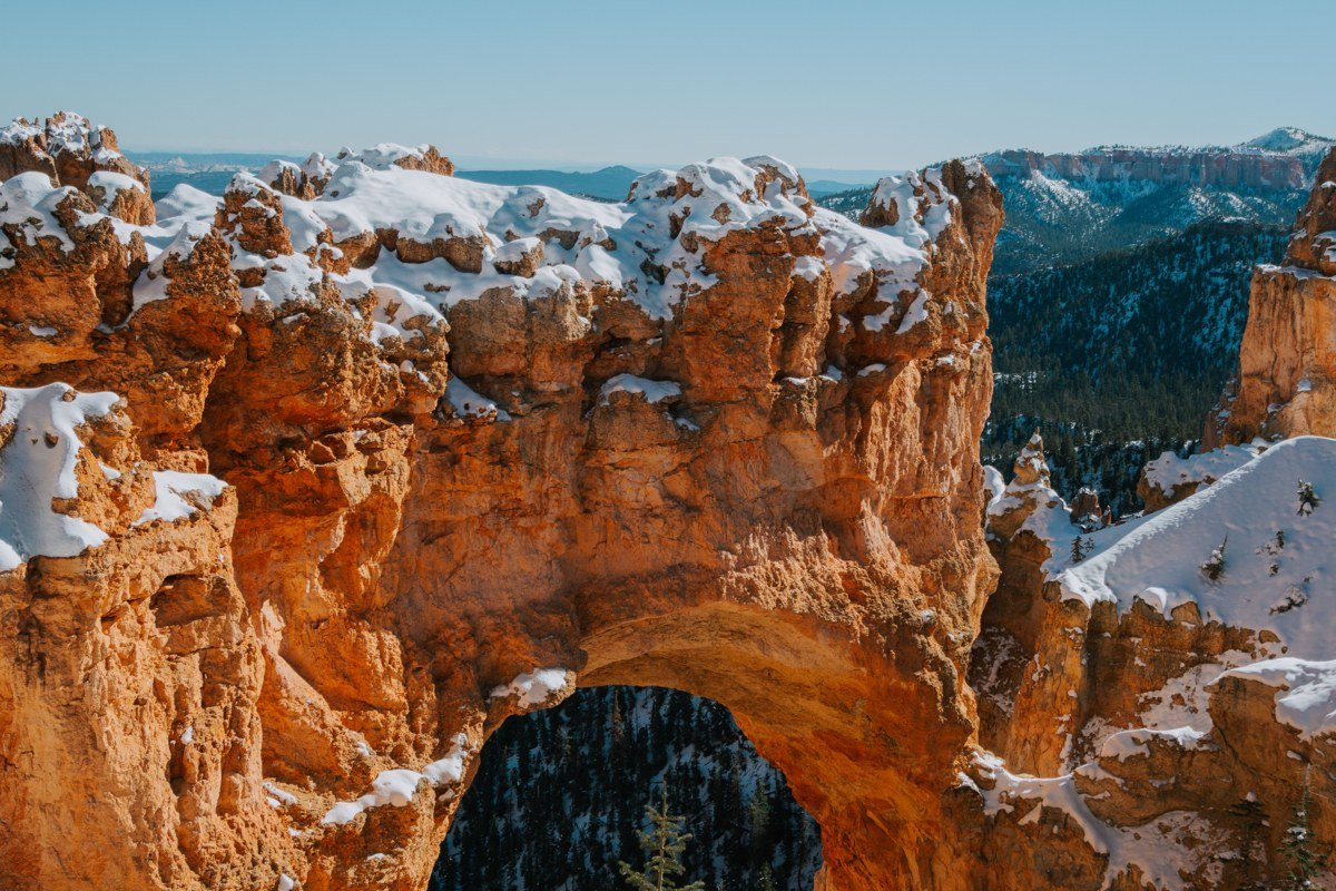
Most people drive straight through Red Canyon on Highway 12 without slowing down, which is a mistake since this is genuinely one of the most photogenic stretches of highway in the state. Two natural rock arches lean directly over the road, and pull-offs on either side lead to short trails through pink and orange hoodoos that rival Bryce’s without the entrance fee. The Pink Ledges Trail is under a mile and works fine for kids who’ve already worn themselves out at Bryce. This is also where the elevation starts its long drop toward Zion, so temperatures noticeably warm up.
Pair it with: Kodachrome Basin, about 35 minutes southeast via Highway 12 and Cottonwood Canyon Road (see below).
The Cottonwood Canyon backcountry
Cottonwood Canyon Road, Utah
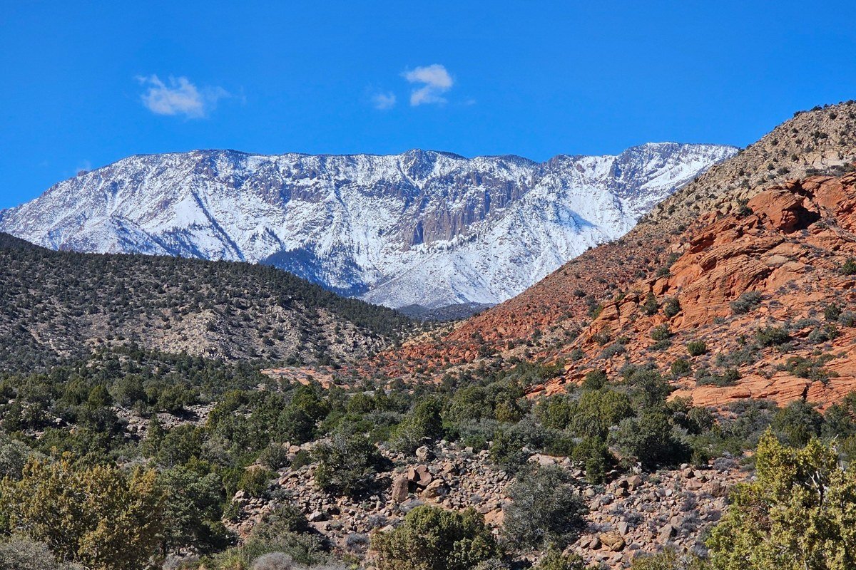
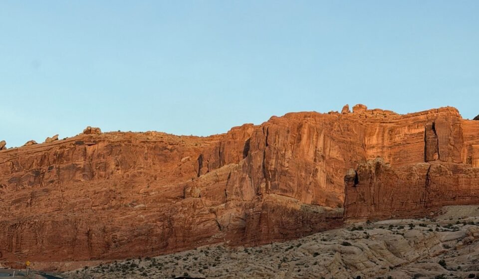
This is the detour that separates a real southwest road trip from a highway drive-by. The 46-mile unpaved road connects Highway 12 near Kodachrome Basin to Highway 89 near Big Water, cutting straight through Grand Staircase-Escalante National Monument alongside the Cockscomb, a jagged upthrust of rock that runs for miles like a spine, formed by the same tectonic folding that shaped much of the monument, per BLM interpretive signage. It’s graded dirt, passable in a normal car in dry weather, but it closes or turns to impassable mud after rain, and there’s no cell service and no gas for the entire stretch, so fill the tank first. Give yourself two hours minimum, more if you stop for photos.
Pair it with: Grosvenor Arch, a short spur off this same road about halfway through.
Grosvenor Arch, Utah
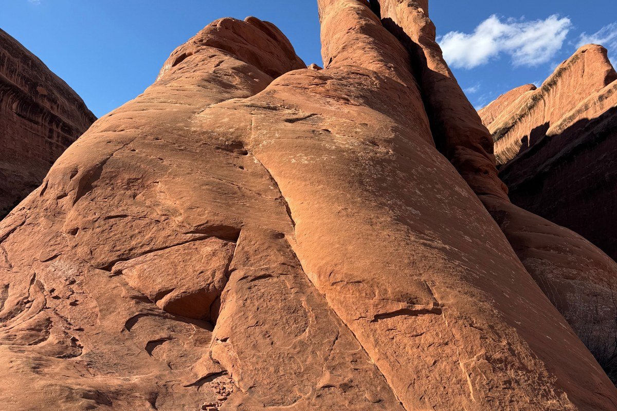
A double arch rising 150 feet out of empty desert, reached by a short paved spur road off Cottonwood Canyon Road, with a picnic shelter and vault toilet but nothing else around for miles. Day use is free, and the small lot holds maybe six or seven cars, most days that’s more than enough. Morning light hits the arch’s face directly and makes the whole formation glow orange against the sky.
Worth building the rest of your Cottonwood Canyon Road stop around, since it’s only five minutes off the main route.
Kanab and the Vermilion Cliffs edge
Kanab, Utah
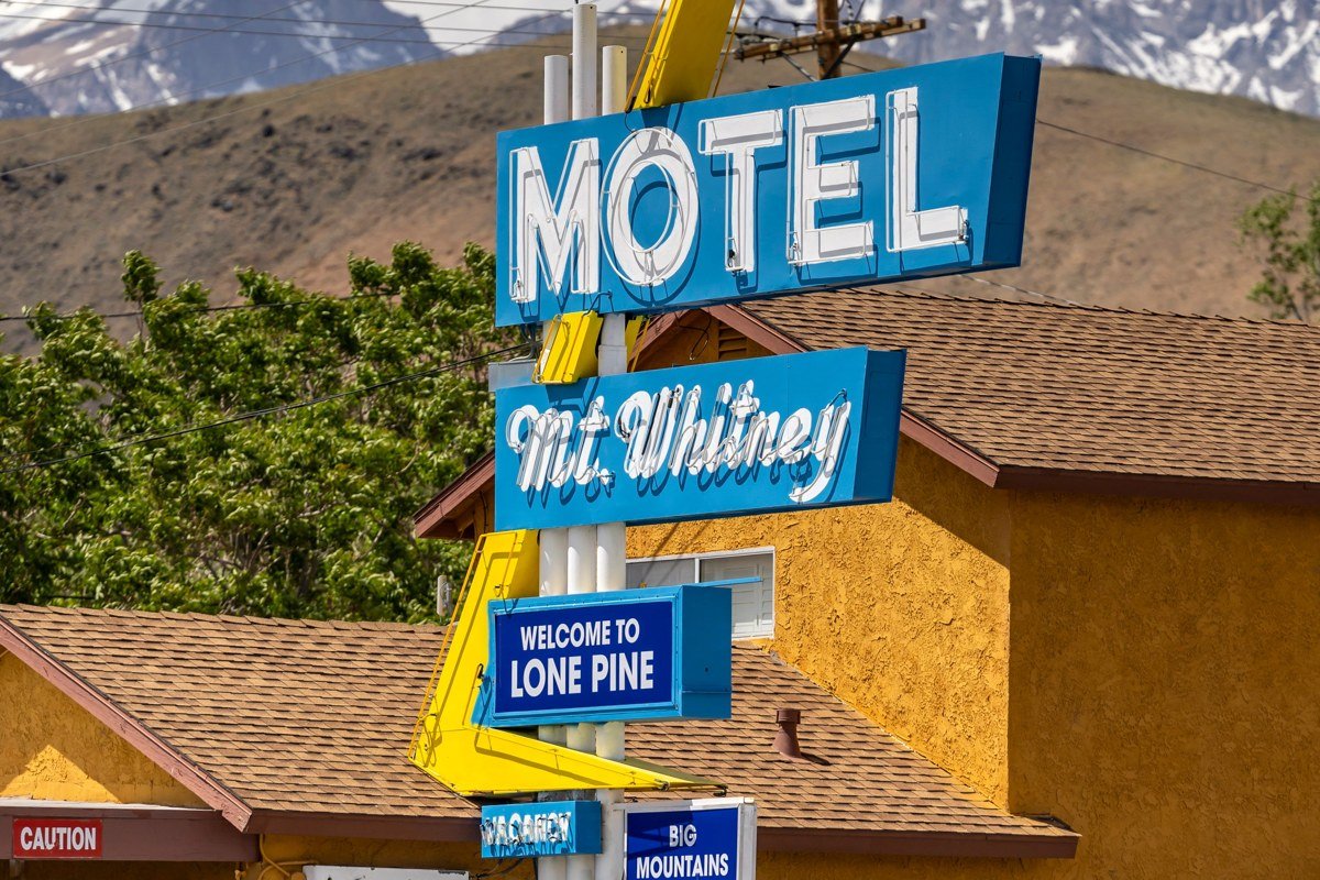
Kanab sits at the crossroads of Highway 89 and Highway 9, and most road trippers treat it as a gas-and-go stop between the parks. That undersells it. This is western movie country, with a genuine frontier-town main street; Rocking V Cafe on Center Street and the Parry Lodge, a former guesthouse for old Hollywood westerns, are both worth the stop on their own. It’s also the last real town with grocery stores and gas before Zion’s east entrance, so it’s the practical place to restock, not an afterthought.
Pair it with: The Wave and Coyote Buttes, a permit-only hike accessible from House Rock Valley Road east of town (see below).
Coral Pink Sand Dunes State Park, Utah
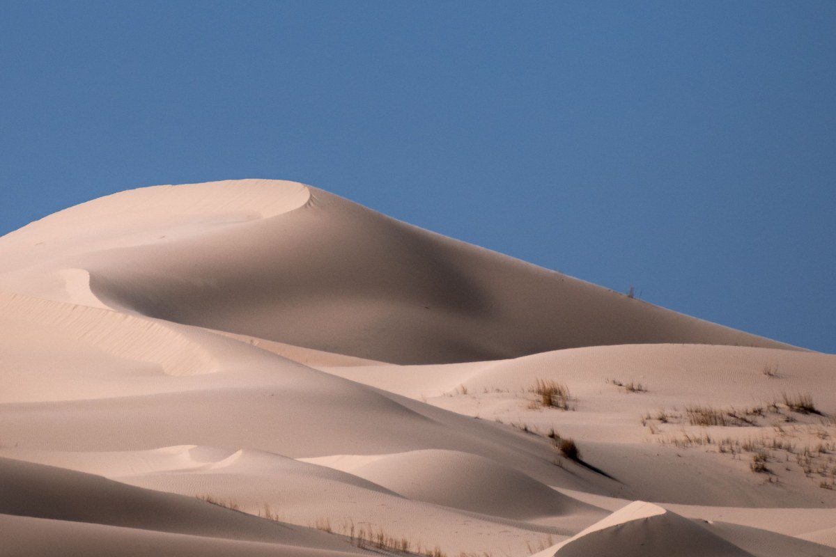
Twelve miles west of Kanab, wind-blown sand the color of the surrounding sandstone piles into dunes that shift constantly. Entrance is $10 per vehicle, and it’s a strange, quiet detour that feels nothing like the canyon country ten minutes away. It’s also one of the few spots on this route where dogs are welcome to run off-leash in designated areas, which matters if you’re doing this as a southwest road trip with a dog and getting tired of “no pets beyond this point” signs at every park entrance. Morning and evening are best; midday sand gets hot enough to burn paws and feet both.
Twenty minutes back east on Highway 89 puts you right back in Kanab for the night.
The Zion back door
Zion’s East Entrance and the Checkerboard Mesa pullout, Utah
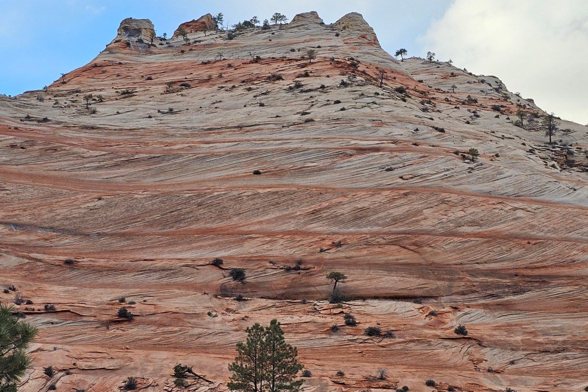
Everyone photographs the Zion Narrows and Angels Landing. Far fewer stop for Checkerboard Mesa, a sandstone dome etched with a natural grid pattern from vertical fractures and horizontal erosion, right off Highway 9 just past the east entrance. The pullout holds about ten cars, and it’s rarely full, most drivers keep moving toward the shuttle stops instead. The switchbacks just past it, dropping through the Zion-Mount Carmel Tunnel, are also underrated, carved through solid rock in the 1920s and, per NPS park info, still only wide enough for one lane of larger vehicles at a time.
Pair it with: Kanab, about 25 minutes east on Highway 89 and Highway 9, for the last supply stop before the park proper.
Which cluster you choose depends on how much time you actually have. For a long weekend, base in Kanab and do a loop: Cottonwood Canyon Road and Grosvenor Arch one day, Bryce and Red Canyon another, Zion’s east side and Coral Pink Sand Dunes on the last. That’s a realistic southwest road trip itinerary for four or five days without national park fatigue setting in, and it works whether you’re flying into Las Vegas, Nevada (about 3.5 hours from Kanab) or Salt Lake City, Utah (about 4 hours). Skip the whole Cottonwood detour in winter, when snowmelt turns it to impassable clay, and skip Coral Pink Sand Dunes at midday in summer. Everything else here runs fine even in a southwest road trip in December or January, though check that Bryce’s rim road is plowed before you commit.