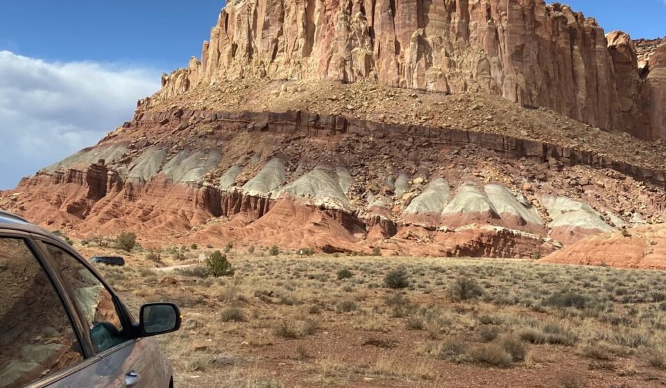

Dead Horse Point gets the postcard fame. Grand View Point inside Canyonlands National Park is the one that actually earns the crown on this list. It’s the only spot where red canyon rims stack toward the horizon with the snow-capped La Sal Mountains rising directly behind them, no haze, no power lines, no other overlook competing for the same shot. Dead Horse Point is more photographed because it’s easier to reach. Grand View Point is better because the composition works in every season and the crowd is a fraction of the size. That tension, easy-and-famous versus harder-and-better, runs through this entire list, and it’s worth understanding before you build a Utah national parks road trip around chasing a single photo.
Quick reference for skimmers:
| Overlook | Best months | Fee | Effort |
|---|---|---|---|
| Grand View Point | Year-round, snow-capped mountains Nov to April | Canyonlands entrance fee | Easy, flat mile-long rim trail |
| Mesa Arch | April, May, September, October for sunrise crowds | Canyonlands entrance fee | Easy, half-mile loop |
| Dead Horse Point | Spring and fall for sunrise light, avoid midday summer heat | State park day-use fee, $20 per vehicle as of last check | Easy, paved to rail |
| Muley Point | Spring and fall, avoid the dirt road after rain | Free | Easy walk, rough access road |
| Canyon Overlook (Zion) | Spring and fall to dodge shuttle crowds | Zion entrance fee | Easy, under a mile round trip |
| Sunset Point (Bryce) | June through September for open trails, expect afternoon storms | Bryce entrance fee | Moderate if you hike below the rim |
| Fiery Furnace Viewpoint | Spring and fall, book permits early | Arches entrance fee plus timed-entry reservation in season | Easy from the pullout, moderate with permit |
| Needles Overlook | Spring and fall | Free | Easy, paved spur road |
| Panorama Point | Year-round, best at sunset | Capitol Reef is largely fee-free | Easy, five-minute walk |
Verify all fees and reservation requirements before you travel. NPS and state park fee schedules change.
9. Panorama Point, Capitol Reef National Park, Utah
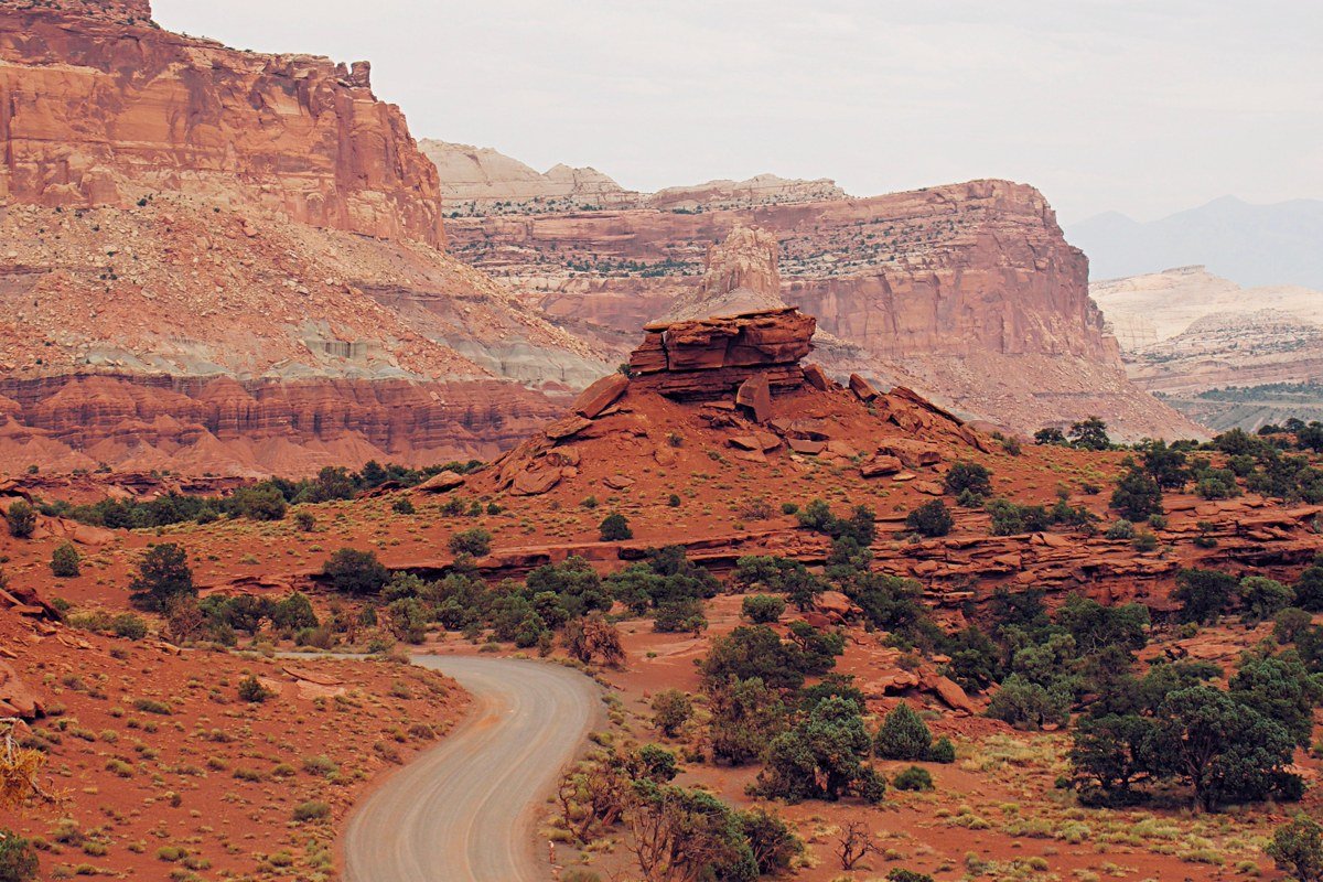
This one is a five-minute walk from a paved pullout on Highway 24, which makes it the easiest “big view” on the whole list. You get the Waterpocket Fold’s tilted rock layers in the foreground with the Henry Mountains, the last mountain range in the lower 48 to be mapped, sitting in the distance. Time it for sunset, when the fold’s layered rock goes from tan to deep orange in about fifteen minutes. The downside is real: Capitol Reef sits two to three hours off the direct route between the other four parks, so it only earns its place on a 10-day Utah national parks road trip, not a 5-day one. The visitor center, just east of the pullout on Highway 24, keeps a whiteboard with the current flash flood status for the Fold, worth a glance before you commit to sunset.
8. Sunset Point, Bryce Canyon National Park, Utah
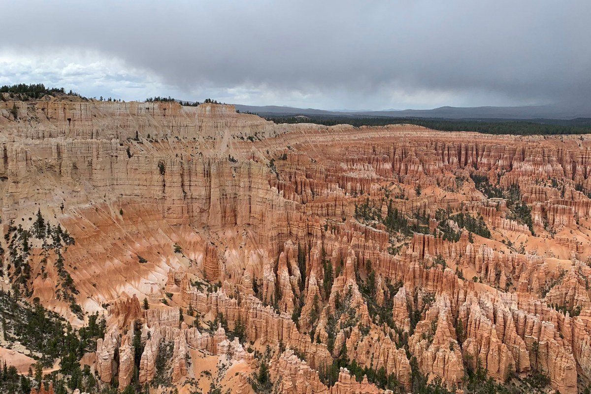
Sunset Point looks exactly like the brochure: thousands of orange hoodoos packed into an amphitheater, with the forested plateau rim framing the whole scene. Walk the half-mile down into Bryce Canyon on the Navajo Loop before hiking back up, since the view from below beats the view from the rim. The catch is elevation and weather. Bryce sits above 8,000 feet, meaning snow and ice linger on the rim trails well into April, and afternoon thunderstorms in July and August close the amphitheater rim to visitors more often than any other park on this list. Rangers at the visitor center post the daily trail closure list by 8 a.m., and calling ahead to the park’s main line before driving up from Panguitch will save you the detour on a storm day.
7. Fiery Furnace Viewpoint, Arches National Park, Utah
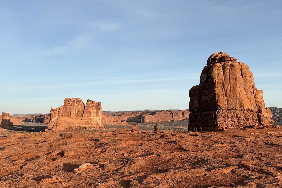
This pullout on the main park road looks down into a maze of narrow sandstone fins that genuinely earn the name “furnace” at midday. Book the ranger-led Fiery Furnace walk in advance, since it’s the only legal way into the maze itself, and permits are released on recreation.gov and typically sell out days ahead in peak season. From the viewpoint alone, without the permit, you’re looking at a jumble of rock that doesn’t fully make sense until someone explains the route through it. Arches requires a timed-entry reservation for vehicle access from April through July, and that window has shifted in past years, so confirm current dates on the park’s website before you build an itinerary around it.
6. Needles Overlook, Bureau of Land Management, Utah
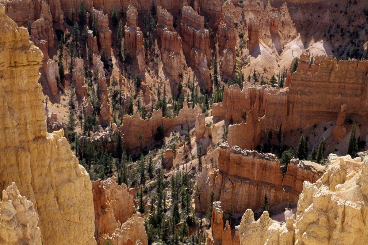
Needles Overlook sits on BLM land off Highway 191, about 22 miles down a paved spur road, and it looks straight into the Needles District of Canyonlands without ever entering the park. The spires below earn their name honestly, and the La Sal Mountains again anchor the background on clear days. Bring your own water and food, because there’s no facility out here beyond a vault toilet and a picnic table. Most people skip it entirely because it requires backtracking off the main highway, which is exactly why it’s usually empty even on weekends when Dead Horse Point is packed. The turnoff onto the spur road is marked at roughly mile marker 93 on Highway 191, easy to miss if you’re watching for a bigger sign.
5. Canyon Overlook, Zion National Park, Utah
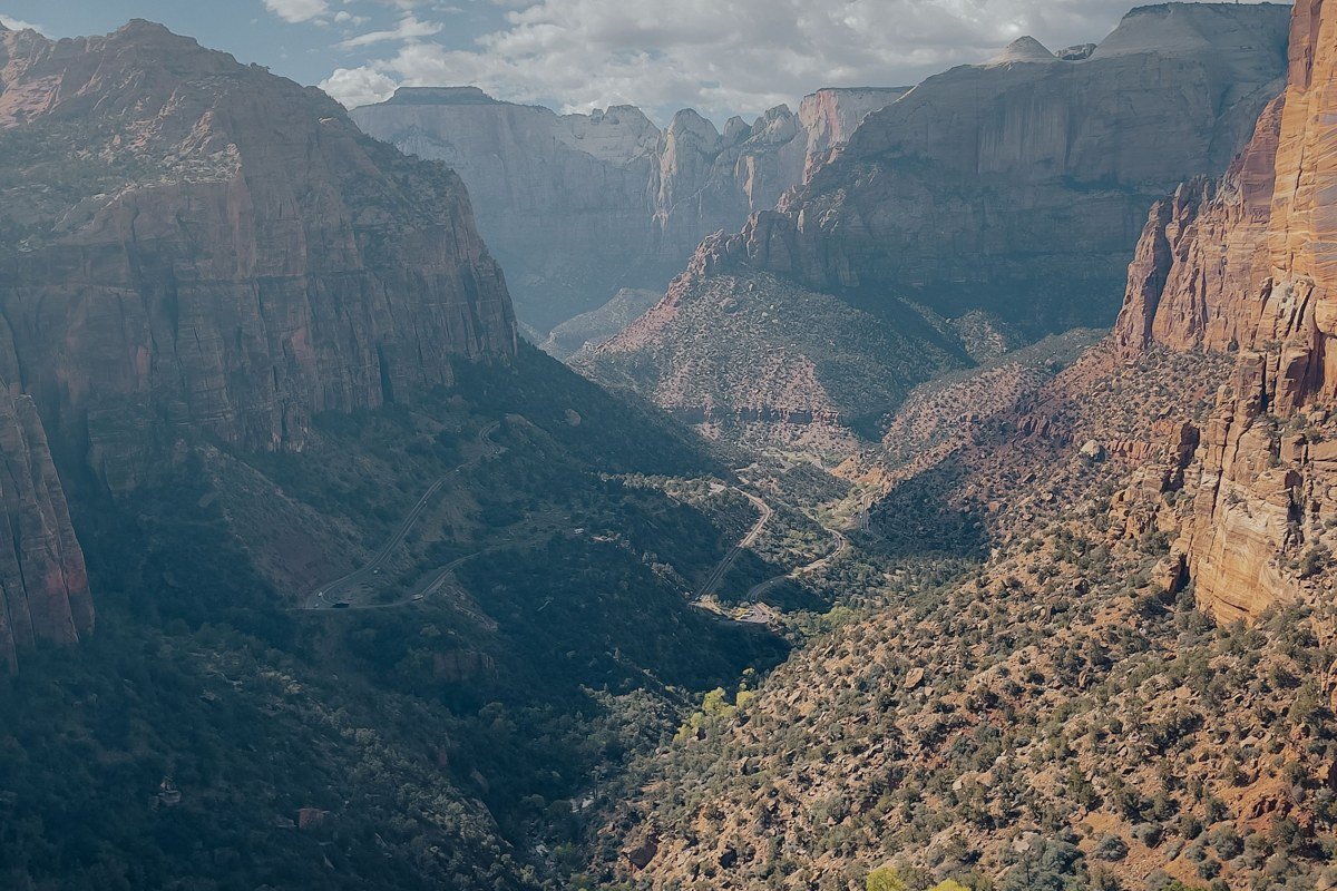
A short, somewhat exposed trail near the east entrance tunnel leads to a ledge looking straight down Pine Creek Canyon, with Zion’s checkerboard mesas layered beyond. The hike is under a mile round trip, which makes it the best payoff-per-effort view in the park. The honest downside is Zion itself: this park runs a mandatory shuttle system through the main canyon for most of the year, parking at trailheads fills before 8 a.m. in spring and fall, and Zion alone can eat two full days of a Utah national parks road trip if you let it. Most itineraries budget one day here and regret it. The small pullout lot at the trailhead, just past the east tunnel, holds fewer than a dozen cars, so this is one hike where arriving before sunrise beats arriving early.
4. Muley Point, Bears Ears National Monument, Utah
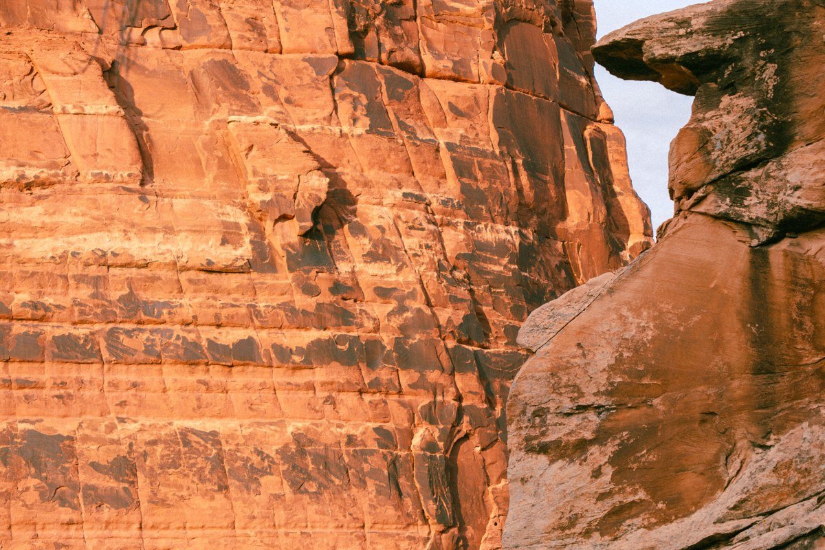
Muley Point isn’t inside any of the five national parks, but it belongs on this list because the view rivals all of them: a sheer 1,000-foot drop into the Goosenecks of the San Juan River, with Monument Valley visible on the Arizona border in the distance on a clear day. This is also the dirt turnout worth the detour, the one where you can pull off and see three landscapes stack in a single frame without another car in sight. The access road is graded dirt, fine in a sedan when dry, genuinely bad after rain. There’s no fee, no gate, and often no other cars. This is the pick for someone who has already done the standard Utah national parks road trip once and wants the version locals actually recommend to each other. The BLM field office in Monticello can tell you same-day whether the road’s been graded recently, worth a call if it’s rained in the past 48 hours.
3. Dead Horse Point, Dead Horse Point State Park, Utah
This is the view most people picture when they picture Utah at all: a horseshoe bend of the Colorado River carved 2,000 feet below a narrow neck of rock, with Canyonlands stretching beyond it. It’s a state park, not a national park, with its own entrance fee (currently $20 per vehicle, confirm before you go since state park fees do change). Go at sunrise if you can manage it. The crowd that shows up for sunset can genuinely block the rail at the main overlook in peak season, and the parking lot fills by mid-morning from spring through fall with no overflow lot, so this is the one stop on the list where arriving an hour earlier than planned actually matters.
2. Mesa Arch, Canyonlands National Park, Utah
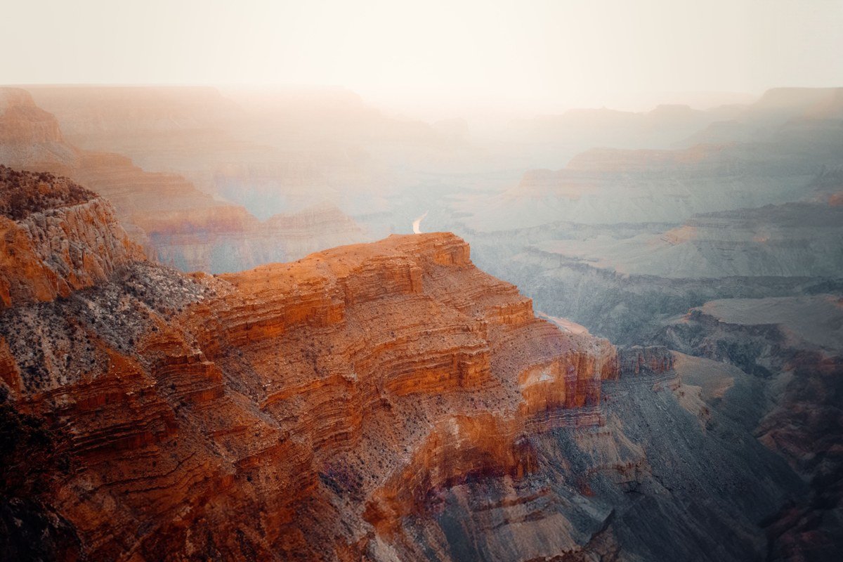
Mesa Arch is famous for a reason: at sunrise, the underside of the arch catches reflected light and glows orange, framing a drop into Buck Canyon with the La Sal Mountains beyond. It’s an easy half-mile loop trail, which is exactly the problem. Photographers line up shoulder to shoulder along the rail before dawn in April, May, September and October. Getting a clean shot without a stranger’s tripod in frame takes arriving in full darkness. If crowds aren’t your thing, go at midday instead, when the light is flatter but you’ll likely have the arch to yourself, and the mountain-and-canyon alignment is still there.
1. Grand View Point, Canyonlands National Park, Utah
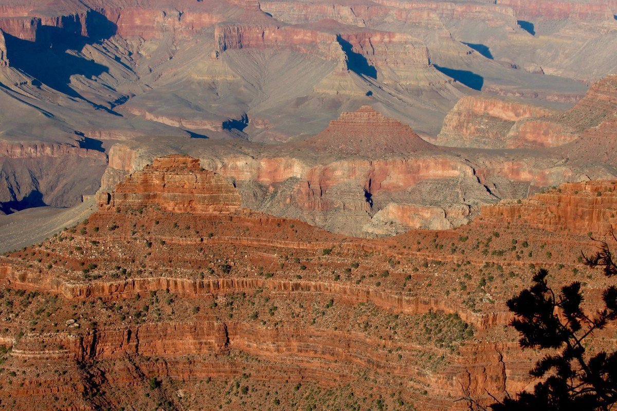
Grand View Point sits at the end of the main paved road through the Island in the Sky district. It delivers the alignment this whole list is built around: layered canyon rims falling away toward the Colorado and Green River confluence, with the La Sal Mountains rising behind them, snow-capped from roughly November through April. Walk the flat mile-long trail along the rim instead of just shooting from the parking lot, since the trail shifts the mountains further into frame with the canyon in the foreground. The trade-off is distance: Island in the Sky sits about 40 minutes from Moab, and this viewpoint is the far end of that district, so it’s not a quick stop. It’s also open and accessible year-round, unlike Bryce’s rim trails or Zion’s canyon road after heavy snow, which makes it one of the few views on this list you can genuinely count on in any season, including the shoulder months when a Utah national parks road trip in March is otherwise a gamble against late storms.
How I’d pick
A first-timer with five to seven days, driving the loop from Las Vegas, Nevada or Salt Lake City, Utah, should anchor the trip around Grand View Point and Mesa Arch and treat Dead Horse Point as the easy bonus next door, since all three sit within 40 minutes of Moab. A family with kids should skip the sunrise scramble at Mesa Arch entirely and do Grand View Point at midday instead, since the trail is flat, stroller-passable in dry conditions, and nobody’s fighting for a spot on the rail. A couple with one weekend should fly into Salt Lake City, drive straight to Moab in about four hours, and hit Dead Horse Point at sunrise and Grand View Point at sunset, which covers the two best payoffs in under 48 hours. Anyone doing the full ten-day version from Denver, Colorado or Phoenix, Arizona, with all five parks, should let Muley Point and Needles Overlook be the reward for the extra driving, since they’re the two views nobody else bothers to chase.