
Sunrise Point and Sunset Point get the crowds because they’re the first two overlooks you hit after the Bryce Canyon entrance station, both an easy walk from the visitor center and the Bryce Canyon Lodge parking lot. The better views, with a fraction of the people, are a 10 to 25 minute walk further along the Rim Trail or a short drive down the park road. I ranked these ten by what a photographer actually gets out of standing there: light, depth, and whether you’re elbow to elbow with a tour bus group.
Bryce Canyon sits in southern Utah, about a four-hour drive from Las Vegas, Nevada and roughly three and a half hours from Salt Lake City, Utah. The park’s main amphitheater overlooks all string along one 18-mile scenic drive, which makes this a rare national park where you can hit multiple elevated viewpoints in a single afternoon without much hiking at all.
| Place | Best for | Getting there |
|---|---|---|
| Bryce Point, Utah | Wide amphitheater panoramas | Spur road near the south end of the main loop, small lot |
| Inspiration Point, Utah | Dense hoodoo clusters, sunrise | 10 to 15 minute uphill walk (about 0.5 miles) from the Bryce Point parking area |
| Sunrise Point, Utah | First light, easiest access | Steps from the Lodge and visitor center |
| Paria View, Utah | Solitude, different rock formations | Short spur off the main road, often empty |
| Fairyland Point, Utah | Fewer crowds, long sightlines | Separate spur road before the entrance station |
| Agua Canyon, Utah | Color contrast, mid-elevation stop | Pull-off along the main scenic drive |
| Natural Bridge, Utah | A quick, dramatic roadside stop | Main scenic drive, no walking required |
| Rainbow Point, Utah | Highest elevation, widest view | End of the 18-mile scenic drive |
| Yovimpa Point, Utah | Forest views, cooler air in summer | Same lot as Rainbow Point, 200 feet further on foot |
| Swamp Canyon, Utah | True solitude, off-trail feel | Pull-off along the main scenic drive, short connector trail |
Bryce Point, Utah
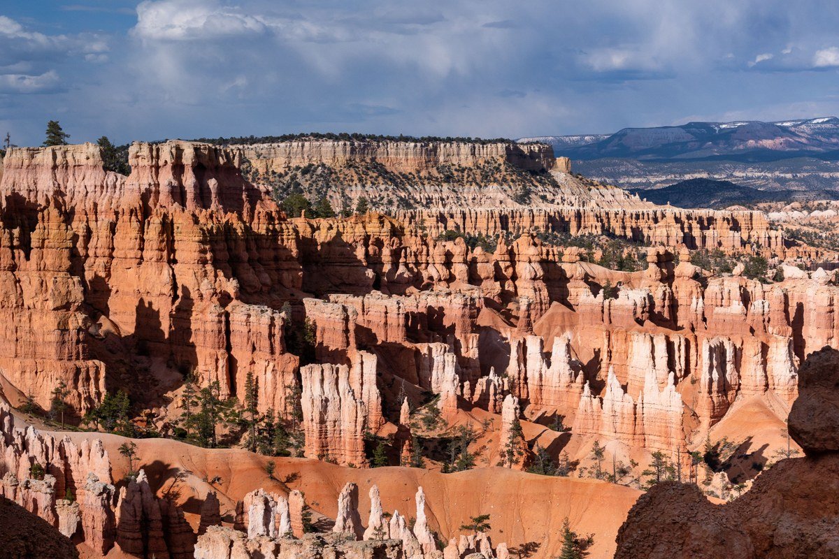
This is the view that ends up on postcards, and it earns it. You get the full sweep of the main amphitheater from a higher vantage than Sunrise or Sunset, so the hoodoo rows stack deeper into the frame. It has its own small parking lot off a spur road, which fills up by mid-morning in June and July but rarely feels as packed as the lodge-adjacent lots. Arrive within an hour of sunrise and you’ll often have long stretches of railing to yourself.
Inspiration Point, Utah
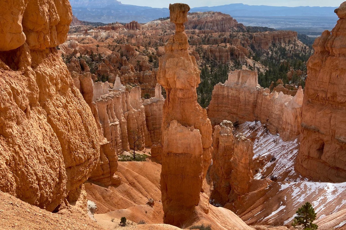
Three tiers make up Inspiration Point, and most people stop at the lowest one and miss the payoff. The connector trail from the Bryce Point lot to the upper tier is about 0.5 miles and runs steep enough that it takes most visitors 10 to 15 minutes at a walking pace; budget closer to 20 if you’re stopping to shoot photos along the way. What you get at the top is a view down into one of the densest clusters of hoodoos in the park, loosely nicknamed the “silent city” by some park guides, though it’s not an official NPS designation. Go at sunrise if you can manage it; the spires catch light from the side and throw long shadows that flatten out by mid-morning.
Sunrise Point, Utah
Skipping Sunrise Point entirely would be dishonest, so here it is, included for completeness rather than for being underrated. This is the easiest overlook to reach in the entire park, a flat walk of a few hundred feet from the Bryce Canyon Lodge, which is exactly why it’s thick with people by 8 a.m. The light here genuinely is excellent at actual sunrise, before the tour buses arrive. If you want this view without the crowd, come 20 minutes before the posted sunrise time and leave by 7:30.
Sunset Point, Utah
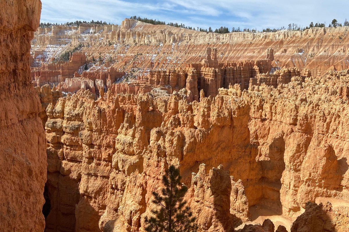
Sunset Point sits a short, paved walk (about 0.5 miles, 10 to 15 minutes) south of Sunrise Point along the Rim Trail, and despite the name, it’s arguably a better sunrise stop than a sunset one, since the amphitheater faces east and loses direct light earlier in the afternoon. It’s also the easiest access point to Thor’s Hammer and the top of the Navajo Loop Trail, so the crowd here tends to be hikers gearing up to descend rather than people parked at the railing. If you only have time for one of the two “named for the sun” overlooks, the trail connecting them takes 10 to 15 minutes each way, so there’s rarely a reason to skip one for the other.
Paria View, Utah
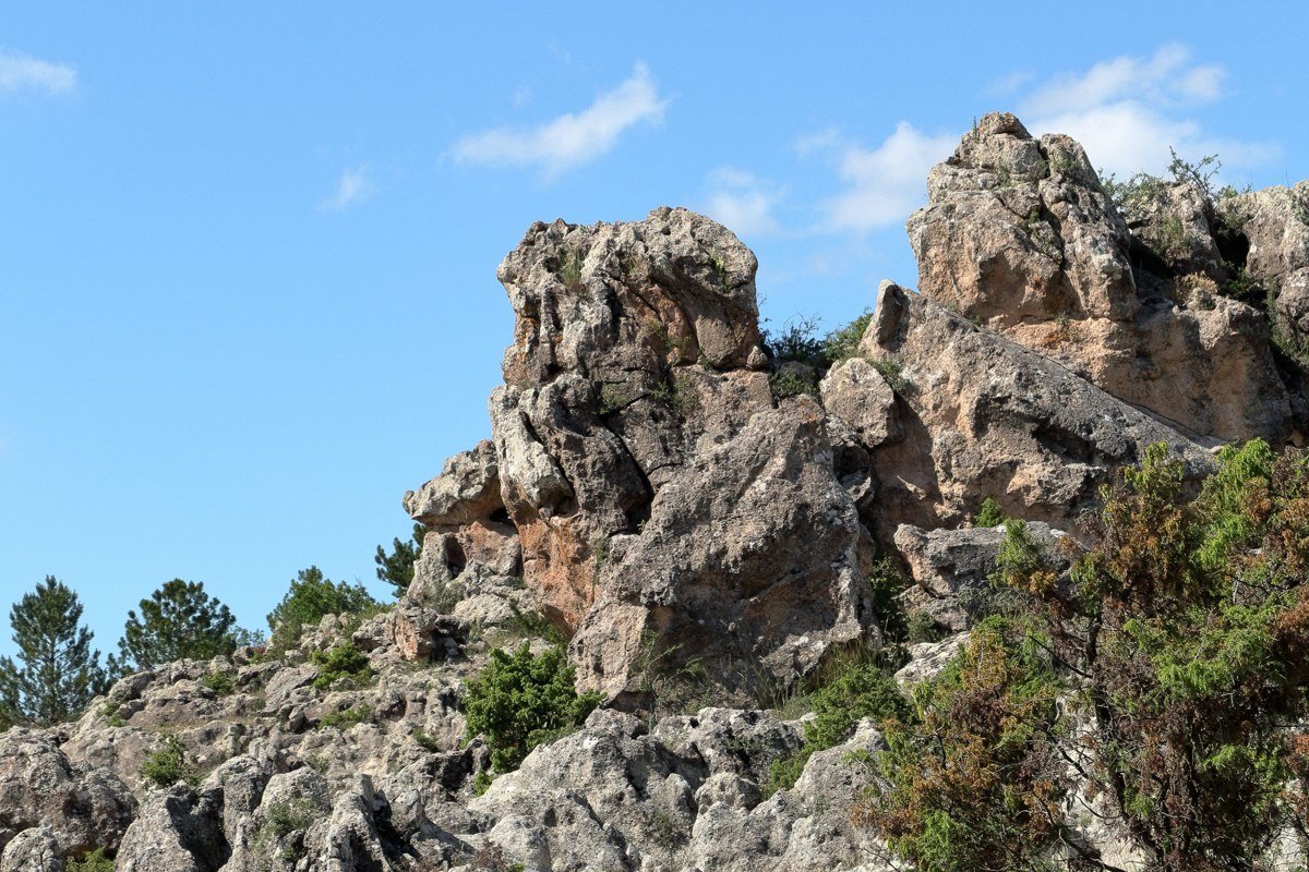
Paria View faces a different direction than the rest of the main overlooks, looking south instead of east, which means it misses the classic sunrise glow but also misses nearly everyone who came for it. The rock formations here are chunkier and less needle-like than the amphitheater hoodoos, a good contrast shot if you’re building out a gallery from one visit. It’s a short, well-marked spur off the main loop road with its own lot that’s almost never full. Afternoon light works better here than at the hoodoo-heavy stops.
Fairyland Point, Utah
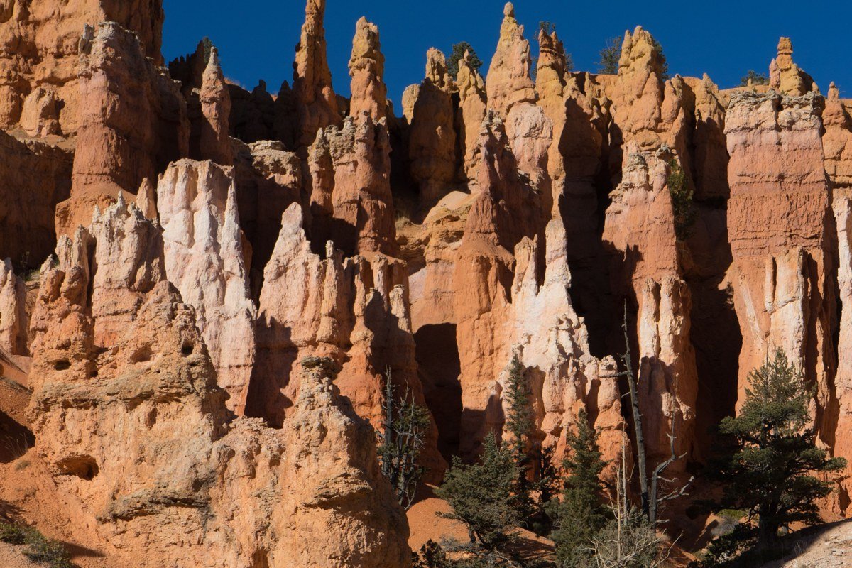
A separate access road before the main entrance station is where Fairyland Point sits, which trips people up because it feels like you’re leaving the park before you’ve arrived. That isolation is the whole appeal. The formations spread out more here than the tightly packed amphitheater views, giving you long sightlines down into Fairyland Canyon with almost nobody else at the railing. It’s also the trailhead for the Fairyland Loop, an 8-mile round-trip hike and one of the park’s better full-day options if you want to get below the rim.
Agua Canyon, Utah
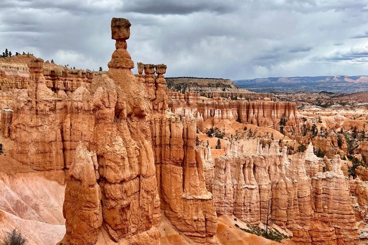
Color is what Agua Canyon does best: white-capped hoodoos over deep red and orange rock, with pine green filling the gaps between formations. It’s a simple pull-off along the scenic drive, no hike required, which makes it an easy add if you’re already road-tripping the park road toward Rainbow Point. Midday light actually works in this spot’s favor because it brings out the color banding rather than washing it out. Don’t rush past it on the way to the bigger-name stops; it’s one of the most photogenic pull-offs in the park for the effort involved.
Natural Bridge, Utah
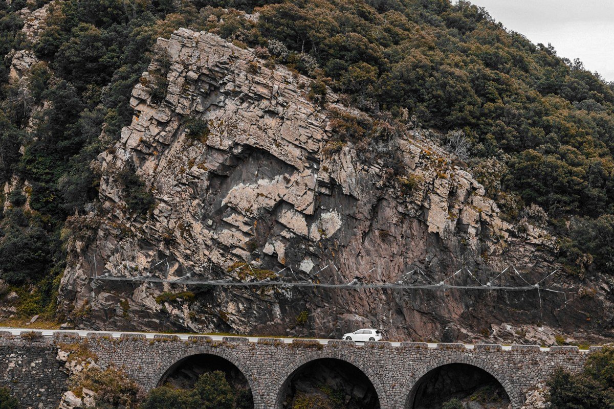
A reddish stone arch, not a hoodoo view at all, technically a natural bridge carved by water rather than wind, is what you get here, visible right from the road with zero walking. It breaks up a long scenic drive and gives you a completely different subject than the dozen hoodoo overlooks before it. Pull off, shoot through the arch toward the canyon behind it, and move on; five minutes covers it. Skip it only if you’re racing daylight to reach Rainbow Point before sunset.
Rainbow Point, Utah
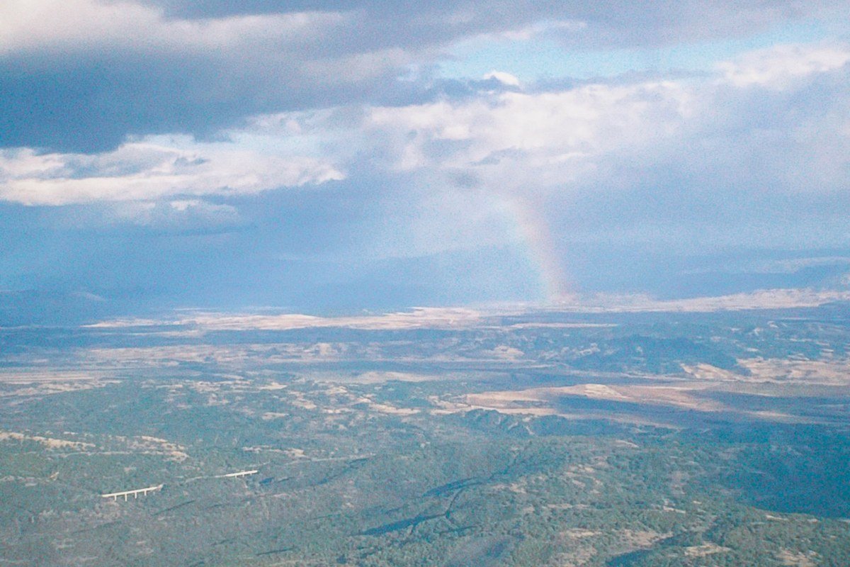
At just over 9,100 feet, Rainbow Point is the high point of the park, both literally and in terms of the view. On clear days, visitors and some park literature describe sightlines extending toward the Kaibab Plateau and the edge of the Grand Canyon region, though how many state lines are actually visible depends on haze and conditions, so treat “three states” as a sometimes-claim rather than a guarantee. The air is noticeably cooler than down at the amphitheater, a real relief if you’re visiting in July or August. It sits at the very end of the 18-mile scenic drive, about a 40-minute drive one-way from the visitor center, so budget real time for the round trip. Go in late afternoon; the long sightlines take side light better than the tight hoodoo clusters do.
Yovimpa Point, Utah
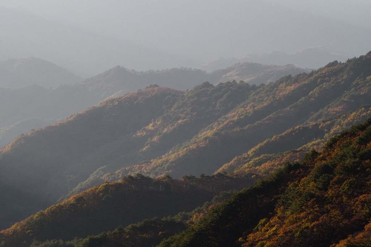
The same parking lot as Rainbow Point serves Yovimpa, but it faces a different direction, looking south over forested slopes rather than back into the amphitheater system. It’s the spot people skip because they’ve already “done” the viewpoint next door, which is exactly why it’s usually empty. The view trades hoodoo density for genuine distance and layered haze-blue ridgelines. If you’ve made the long drive out to this end of the park, the extra 200 feet of walking to see both overlooks is not optional.
Swamp Canyon, Utah
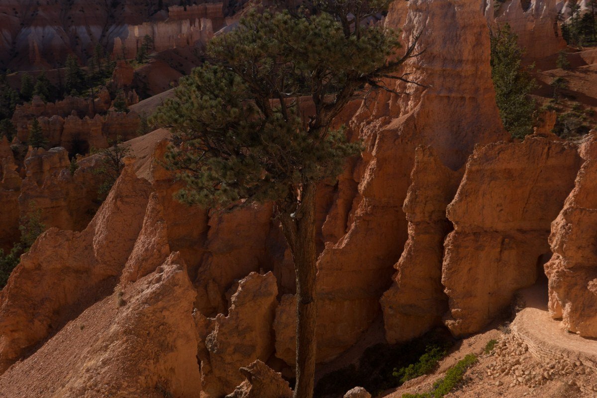
A pull-off along the scenic drive between Bryce Point and the Rainbow Point stretch, Swamp Canyon rarely gets a mention in trip reports, which is exactly why it’s worth the stop. A short connector trail (under 10 minutes each way) drops you toward a narrower, more intimate framing of a smaller hoodoo cluster, good for photographers who want a composition that isn’t already on everyone else’s feed. Go here when Bryce Point itself is too crowded to get a clean shot; it’s one of the few stops on the main road where you can count on having it mostly to yourself even at midday.
FAQ
What is the best time to visit Bryce Canyon?
Late spring (May) and early fall (September, early October) hit the sweet spot: daytime temperatures are comfortable, overnight lows haven’t dropped into the teens yet, and the summer crowds have thinned. Many longtime visitors consider a snow-dusted visit in winter the single best season for photography, since snow on red rock is the park’s signature look, but the main park road and some overlook spurs can be icy, and services in Bryce Canyon City scale way back.
What is Bryce Canyon’s elevation, and does it matter for a visit?
The amphitheater sits around 8,000 to 8,300 feet, and the scenic drive climbs to just over 9,100 feet at Rainbow Point, making this one of the higher-elevation national parks in the Southwest. Altitude sickness is uncommon but real; give yourself a day to acclimate if you’re coming straight from sea level, and expect to breathe harder on the uphill return hikes out of the amphitheater.
Do I need a reservation to drive the Bryce Canyon scenic road, and where should I park?
No separate reservation is required for the scenic drive itself, just the standard park entrance fee of $35 per vehicle, valid for seven days (an annual interagency pass pays for itself in two or three visits if you’re hitting multiple parks). Parking at Sunrise Point, Sunset Point, and Bryce Point fills by mid-morning from roughly May through September, so either arrive before 9 a.m. or use the free in-park shuttle, which typically runs from early April through October and stops at every major overlook along the main loop; check current NPS park alerts before your trip, since exact dates shift year to year.