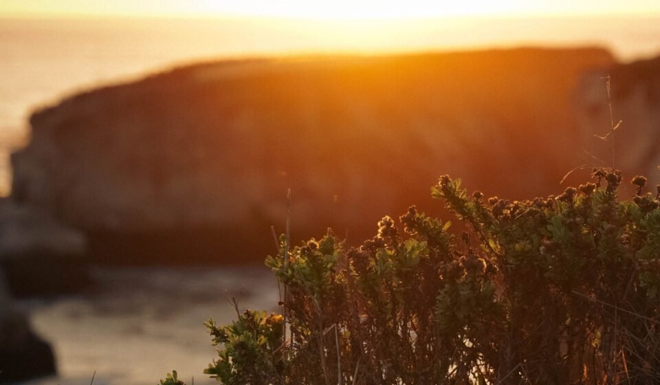

Bixby Bridge will not scare you. You park in a lot set well back from the arch, you walk to a low stone wall, and you take the photo everyone else has taken. Partington Cove, on the other hand, drops you through a tunnel cut into the rock and spits you out on a ledge with no wall at all, just a slick granite shelf and sixty feet of air between you and the surge. Both are Big Sur, California. Only one of them will make your palms sweat.
That contrast is the whole premise here. Big Sur reads the way it does because the Santa Lucia Mountains rise almost straight out of the Pacific, with barely a shelf of flat land between the ridgeline and the water. Highway 1 was blasted and bridged into that margin, which is why it has one lane each direction, no passing lanes, and turnouts that range from generous gravel pads to narrow dirt slivers with a sheer drop on the ocean side. Add the marine layer that rolls in most summer mornings and doesn’t always burn off, and you get a road where the scenery and the risk are the same geological feature.
This is for travelers who’ve already done the postcard drive, or who want to do it differently: ranked by how exposed you actually feel standing there, not by how many likes the photo gets.
The Northern Gateway
This stretch is the first real taste of Big Sur if you’re driving south from Carmel or Monterey, California, and it front-loads some of the most dramatic, least-protected overlooks on the entire route.
Garrapata State Park Bluffs, California
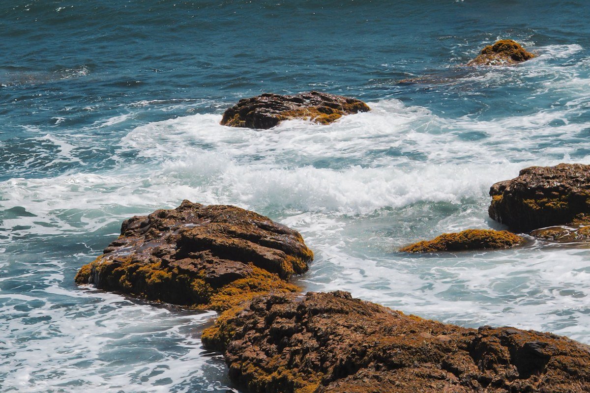
Garrapata sits about 18 miles north of Big Sur Village, and most people blow past it because it has no official sign on the highway, just a row of numbered roadside pullouts (Pullouts 13 through 19 mark the park boundary). The real vertigo comes on the unmarked bluff trails south of Soberanes Point, where the path runs within a few feet of a crumbling edge with no fencing and a 50-foot drop onto rocks.
Practical info: No fee, no gate. Open sunrise to sunset. Dirt pullouts hold 2 to 4 cars each, no striped lot. Cell signal is weak to nonexistent on the bluff trail.
Pair it with: Bixby Bridge, an easy 15-minute drive south.
Bixby Bridge Overlook, California
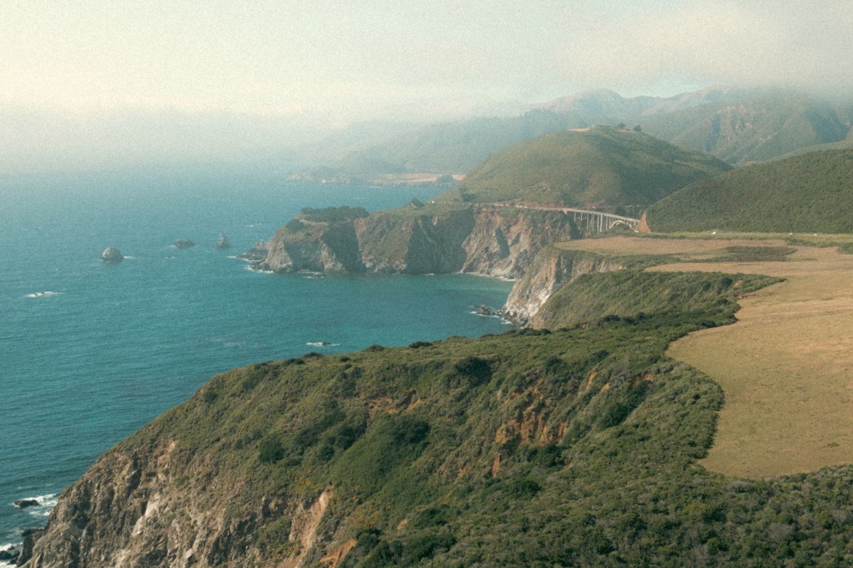
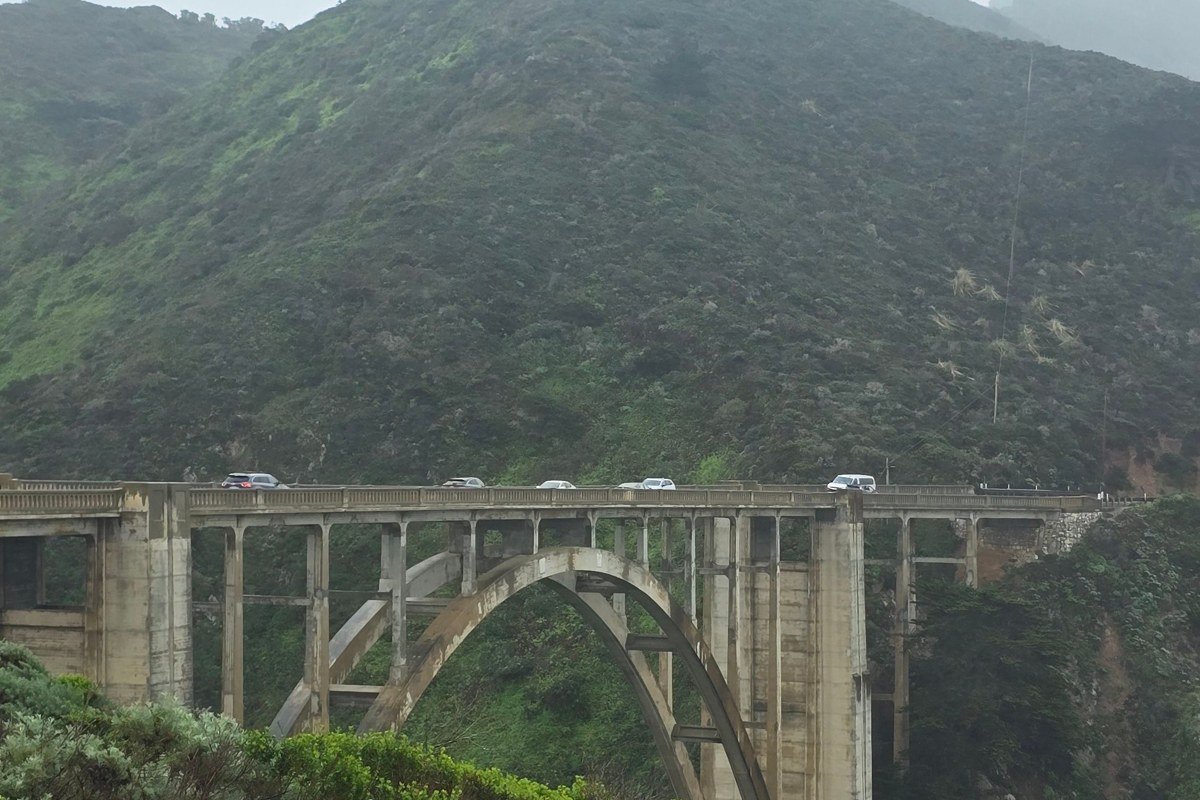
Bixby Bridge itself is tame, that’s the point of including it as the control. Built in 1932 and opened in 1933, the 280-foot-high concrete arch spans 714 feet and is one of the most photographed bridges in the world. The main viewpoint is a wide, fenced pullout that families with toddlers use safely every day. The scare factor shows up if you scramble down the use-trail beneath the north end, where there’s no railing and the canyon floor is a long way down.
Practical info: Free pullout, roughly 20-car capacity, usually full by mid-morning. Open 24 hours. Cell signal is spotty but usable for texts.
Pair it with: Hurricane Point, the next overlook south on Highway 1.
Hurricane Point, California
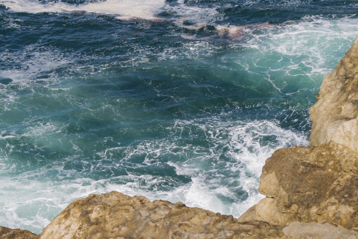
About 2 miles south of Bixby, the road climbs to roughly 400 feet above the water onto an exposed headland with almost no vegetation to block the wind, and the name is not a marketing flourish. The pullout here has a low curb and nothing else between your car door and a long fall to the surf. This is also one of the spots where fog rolls in fastest, so check visibility before you linger.
Practical info: Free, unpaved pullout, space for about 10 cars. No restrooms. No cell signal.
Pair it with: Garrapata State Park Bluffs, a short backtrack north if you’re doing this cluster as a loop.
Big Sur Village and the River Canyons
Once the highway drops back toward sea level near Point Sur, the terrain shifts from open headland to tighter canyons and pocket coves, and the overlooks get more vertical, if less windy.
Point Sur Lighthouse Overlook, California
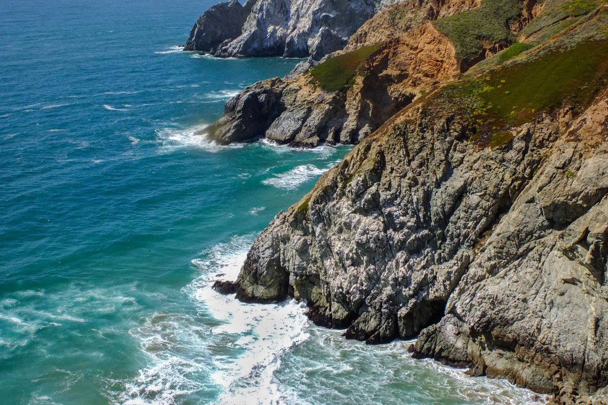
The lighthouse sits on a volcanic rock formation 361 feet high, connected to the mainland by a narrow isthmus. Guided tours, run by the Point Sur State Historic Park volunteer association, operate on a limited schedule that shifts seasonally, with fewer dates offered in winter months; check the park’s current tour calendar before you detour off the highway, since tours have also been suspended in past years for road or staffing reasons. The overlook along the access road gives you a view straight down a cliff face to the isthmus below, with a drop that feels bigger than its actual height because there’s so little between you and it.
Practical info: Roadside pullout is free. Tour fee is charged separately if you book a walk to the lighthouse itself. No shade, no restrooms at the overlook. Cell signal is unreliable.
Pair it with: Andrew Molera State Park, about 5 miles south.
Andrew Molera State Park Bluff Trail, California
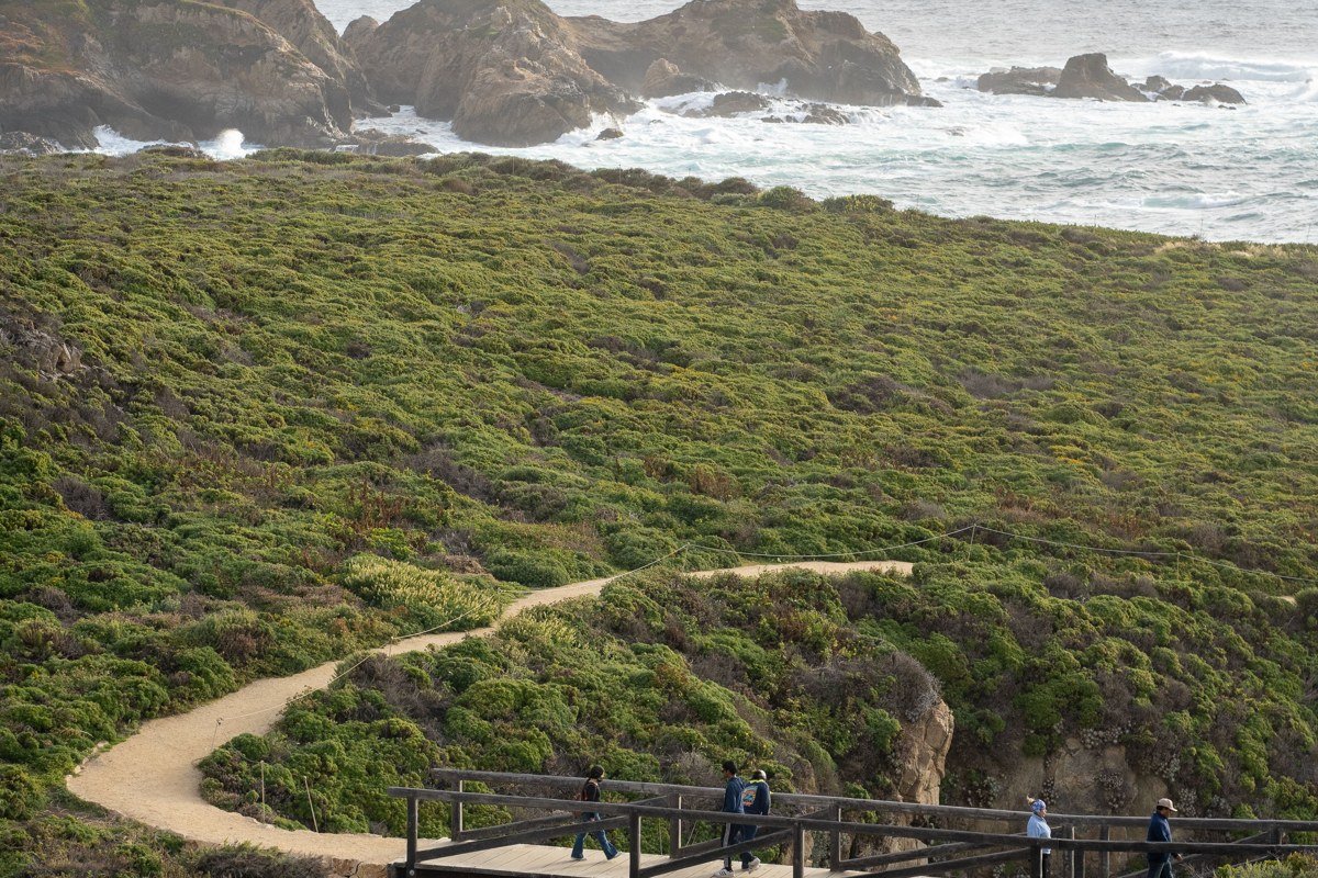
The bluff trail here runs along an eroding edge above the Big Sur River mouth, and in wet years sections have collapsed, which is why the park sometimes reroutes the path without much warning. The main bluff loop is about 2 miles round trip. It’s less a single scary overlook than a cumulative one: every bend puts you closer to a crumbling lip with no barrier, looking down at the river braiding out into the surf.
Practical info: Day-use fee is $10 per vehicle. Large dirt lot, roughly 40 spaces, fills by mid-morning on summer weekends. Gate hours are sunrise to sunset. Cell signal is weak.
Pair it with: Partington Cove, about 10 miles south.
Partington Cove Tunnel Viewpoint, California
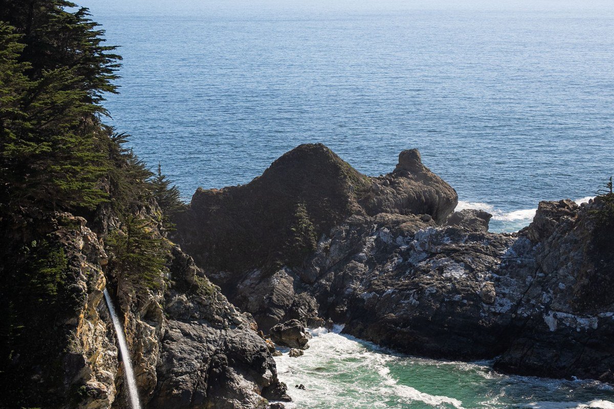
This is the one that actually delivers on the title. A short, steep trail (about a quarter mile each way) drops from a small roadside pullout through a hand-cut tunnel in the rock, and it opens onto a narrow shelf above the cove with no railing anywhere. The rock gets slick with spray, the ledge is narrower than photos suggest, and there’s a real drop straight into the water on the open side.
Practical info: Free. Parking is limited to about 8 roadside spots near mile marker 39.4, easy to miss if you’re not watching for it. No restrooms. No cell signal in the cove.
Pair it with: Point Sur Lighthouse Overlook, the drive back north.
Lucia and the Far South Coast
South of Nepenthe, the crowds thin fast, the gas stations get scarcer (there are only four along the entire Big Sur stretch of Highway 1, and prices run high), and the overlooks start feeling remote rather than scenic-byway convenient.
McWay Falls Overlook, California
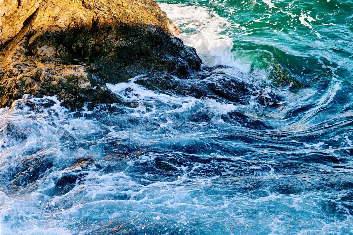
McWay Falls itself, a waterfall dropping 80 feet onto a cove beach in Julia Pfeiffer Burns State Park, is one of the most photographed sights in Big Sur, and the viewing platform is well-fenced, which keeps it off the truly scary end of this list. The edge-of-your-seat part is the short unofficial side path above the main overlook, where a crumbling dirt shoulder gives an even higher vantage with nothing between you and the cove.
Practical info: Day-use fee is $10 per vehicle. Lot holds about 20 cars and overflows by mid-morning in summer. Park hours are 8 a.m. to sunset. Cell signal is weak but sometimes usable near the lot.
Pair it with: the Lucia bluffs, about 8 miles south.
Lucia Lodge Bluffs, California
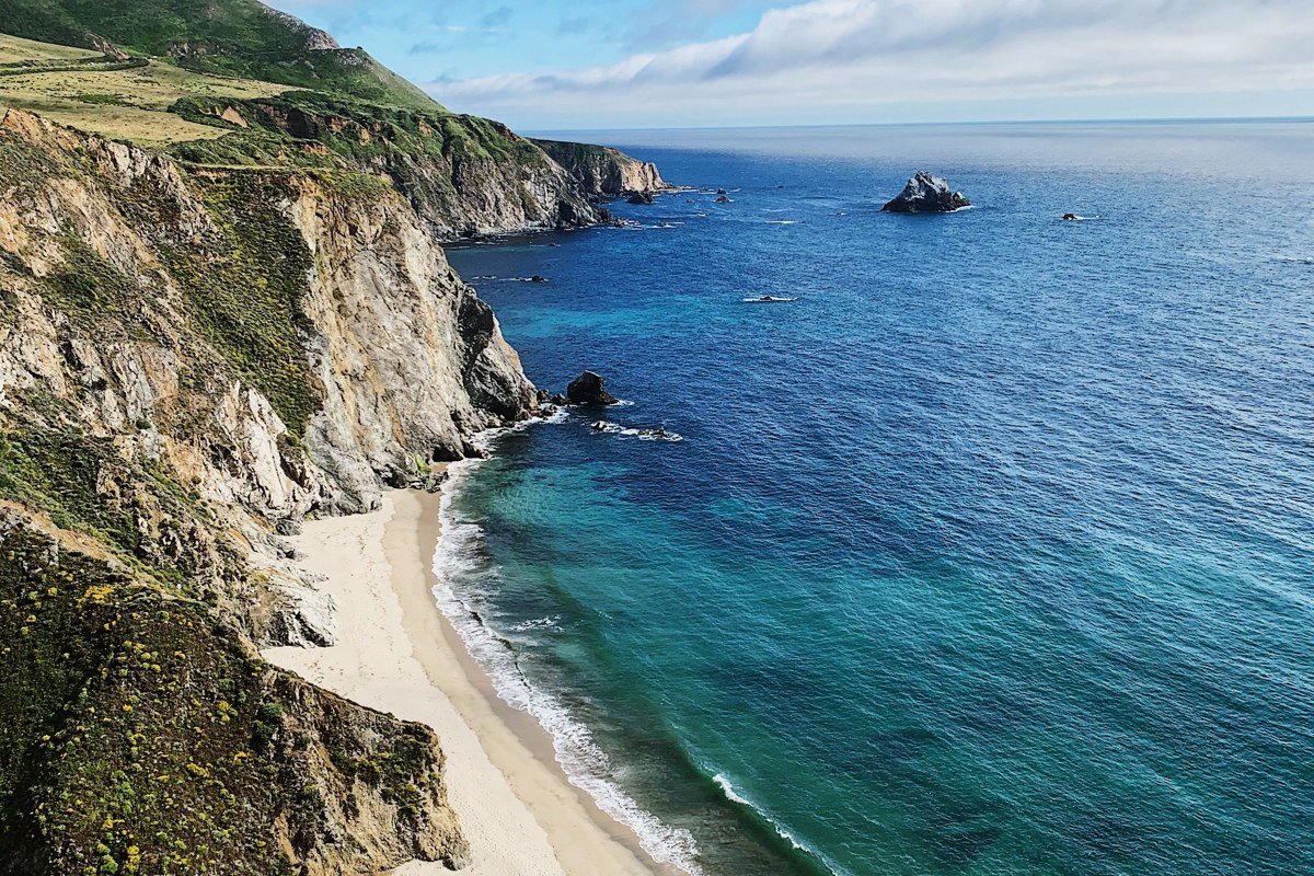
Lucia is barely a settlement, just a lodge, a restaurant, and a few cabins stacked on a cliff with no buffer between the deck railings and a genuine drop to the water below. Lucia Lodge has closed and reopened intermittently in recent years due to Highway 1 closures and storm damage in the area; confirm current operating days and restaurant hours directly before counting on a meal stop, since hours vary by season even when the property is open. The access road in is tight and blind in spots, so this is not a stop to attempt in heavy fog or after dark.
Practical info: No day-use fee to view from the public pullout. Lodge parking is limited to guests and diners, under 15 spaces. Cell signal is nonexistent.
Pair it with: Limekiln State Park, a few miles south, for a ground-level contrast after all the height.
Limekiln State Park Cliffs, California
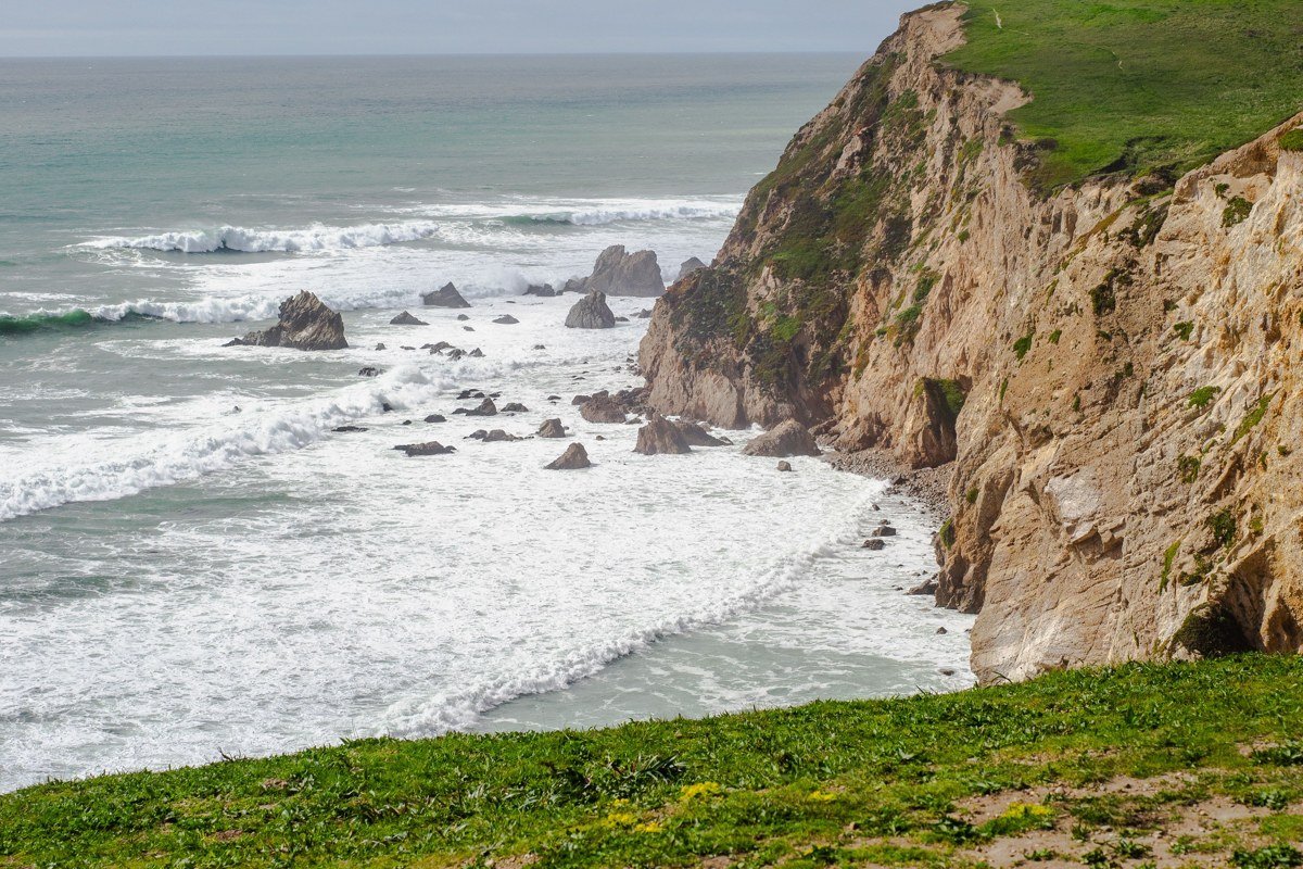
Limekiln sits where a creek canyon meets the ocean, and the campground access road hugs a cliff edge with minimal shoulder before dropping to the park itself. The scare here isn’t a trail, it’s the half-mile drive in, a narrow, unlined stretch where oncoming RVs force you toward the drop side more than once.
Practical info: Day-use fee is $10 per vehicle. Campground has 24 sites, reservable in advance and often full in summer. Cell signal is nonexistent.
Pair it with: Lucia Lodge Bluffs, a short drive north.
Nacimiento-Fergusson Road Summit, California
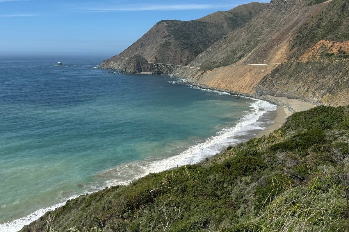
This is the detour almost nobody takes, a 25-mile, narrow, winding route that climbs inland from Highway 1 near Kirk Creek toward Jolon and Highway 101, cresting around 2,800 feet. The summit overlook has no guardrail on long stretches, hairpin turns with blind corners, and a drop that goes from roadside to canyon floor in a way the coastal route never quite matches. It’s also a backup if Highway 1 closes from a slide; the 2017 Mud Creek slide shut the highway for over a year, and stretches of this coast have closed repeatedly since, which is why locals keep this road in mind as an alternate route inland.
Practical info: No fee. No services, no fuel, no cell signal for the full 25 miles. Closed seasonally after heavy snow or storm damage; check Caltrans status before relying on it.
Pair it with: Limekiln State Park, where the detour rejoins the coast.
For a long weekend, the Lucia and far south coast cluster is the one to build a trip around. It has the thinnest crowds, the most dramatic drop-offs relative to effort, and enough built-in isolation (sparse gas, spotty cell service, fog that lingers past noon) that it still feels like the Big Sur people describe when they say it’s worth the hype. Just check road conditions before you go. Highway 1 through this stretch closes periodically for slides and repairs, sometimes for months at a time, and that one detail will wreck a trip faster than any overlook ever could.