The short answer: start in Portland, Oregon, end in Seattle, Washington, and let a volcano full of fog in southern Oregon set the pace for the whole trip.
This is a 720-mile loop across 6 to 8 days, shaped like a long comma that dips south from Portland into the Cascades, bottoms out at Crater Lake, then swings north through the high desert and back up into Washington’s wet, mossy side. It is not the fastest way to see the region, and that is the point. Crater Lake National Park sits high enough, and cold enough overnight even in July, that the lake generates its own fog most mornings, a slow-moving cloud that pools in the caldera and burns off unevenly along the rim. On the two mornings I spent chasing it rim to rim, Rim Village had cleared well before Cloudcap and Palisade Point still held fog. Ask a ranger at the Steel Visitor Center what that day’s burn-off looks like before you commit to a viewpoint, conditions shift with wind and season. Knowing the general pattern turns one park stop into a reason to build an entire road trip around it.
Stop 1: Portland, Oregon
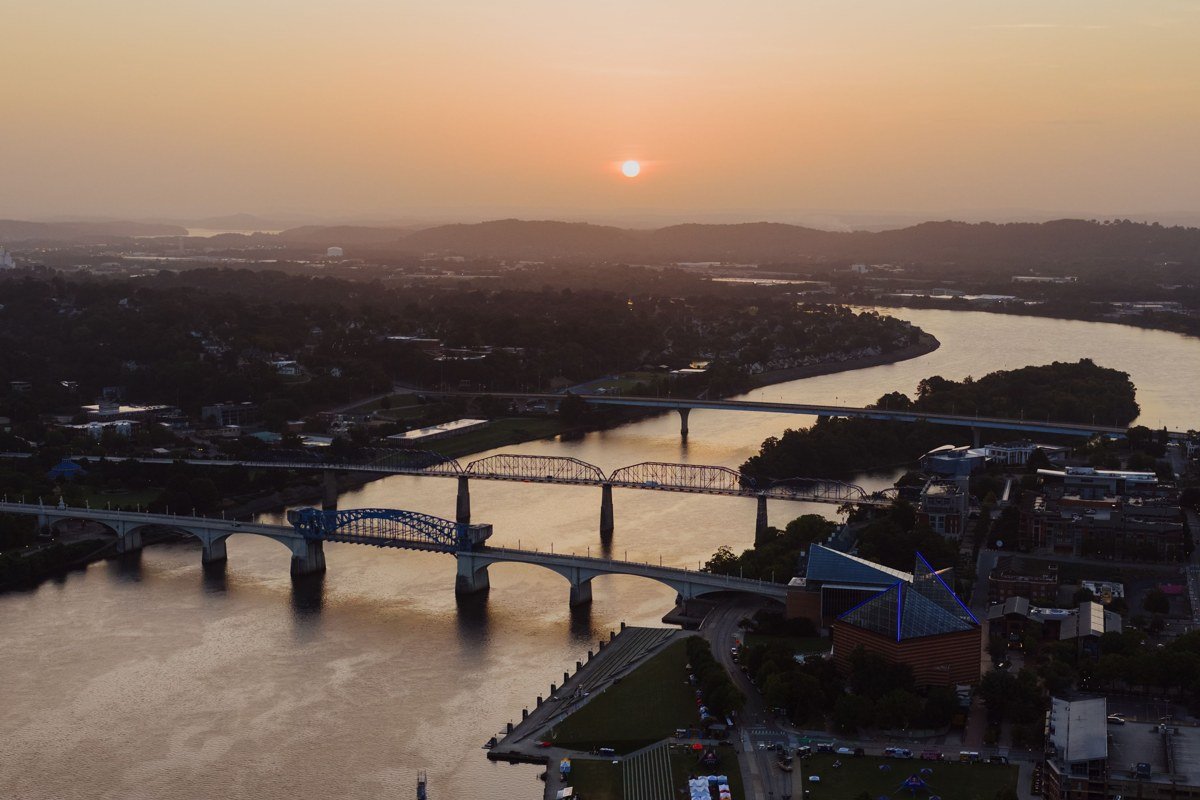
Portland works as a start because it has direct flights from most of the country and a car rental market large enough that you are not stuck with whatever is left on the lot. Spend one night here, not more. Load up on gas station snacks and rain layers, because outside the city services thin out fast, fill the tank before committing to the rural stretch of OR-62. This is also your last reliable cell signal for a while, so download offline maps now. If you want a last real meal before the drive, Pine State Biscuits in the Buckman neighborhood opens early enough to fit before you leave.
Next leg: 3.5 hours south on I-5 and OR-62 to Crater Lake’s rim.
Stop 2: Rim Village, Crater Lake National Park, Oregon

Rim Village is the park’s main hub and the obvious first look, but it is also the viewpoint people most often call overrated, because by the time a day-tripper from Medford rolls in around 9 or 10am, the fog has usually burned off and the lake looks like any other very blue lake in a photo. Get here instead at first light, before the parking lot fills, and you will catch the cloud still sitting on the water like a lid. The entrance fee is $30 per vehicle in summer (valid for 7 days), which matters because you will likely enter and exit this park more than once if you are chasing fog at different viewpoints over two mornings. Watch the road status before you come: the Rim Drive that circles the lake is typically fully open from early July through mid-October, with snow closing sections the rest of the year, check the NPS Crater Lake road status page before departure.
Next leg: 15 minutes east on Rim Drive to the next overlook.
Stop 3: Cloudcap Overlook, Crater Lake National Park, Oregon

Cloudcap sits at the highest point on Rim Drive, and because of that elevation it often pokes up above the fog layer while Rim Village below is still socked in. Longtime visitors argue this is the real sunrise viewpoint, not Rim Village, precisely because you get the surreal effect of standing in clear air looking down on a cloud-filled caldera with Wizard Island’s cone breaking through like a shark fin. Parking is small, about a dozen spots, so arrive before the light does. Bring a real jacket. Even in August the overlook sits above 7,800 feet and the pre-dawn wind cuts through anything thin.
Next leg: 20 minutes further along Rim Drive, continuing clockwise.
Stop 4: Cloud Cap Bay viewpoint at Palisade Point, Crater Lake National Park, Oregon

Palisade Point holds fog the longest of anywhere on the rim, sometimes until mid-morning, because the cliff drops into a shadowed bay that the sun does not reach directly until later. If you only have one morning at Crater Lake and want to watch the fog actually lift rather than arrive to find it already gone, park here and wait. Bring coffee and patience. The lake reveals itself in pieces: a strip of blue, then a wall of cliff, then the whole caldera at once, a more dramatic unveiling than anything you get at the busier pullouts.
Next leg: Back to Rim Village, then 2.5 hours northeast on US-97 toward Bend.
Stop 5: Bend, Oregon

The Cascades do their work on the drive into Bend, wringing the moisture out of the air so the high desert on the other side runs far sunnier than the rim you just left, while Crater Lake, 90 minutes behind you, was fogged in before breakfast. Use the overnight here to dry out gear, refuel the car, and eat well, Spoken Moto on NW Revere Avenue does a solid breakfast burrito if you want something more substantial than a drive-through. This is also the last city of real size before the route turns north again, so handle any gear or supply gaps now rather than in the small towns ahead.
Next leg: 4 hours north on US-97 and US-26 toward Mount Hood.
Stop 6: Mount Hood (Timberline area), Oregon

Clouds behave differently here. Instead of pooling in a caldera, they wrap the summit itself, rolling across the Timberline area in sheets that can clear a view in minutes and then swallow it again. Timberline Lodge makes a good lunch stop, and the Timberline Trail segment just above the lodge gives close-up views of the Palmer Glacier through moving cloud rather than the static postcard shot most people expect. This stretch is also a good gut check on timing: late June through September is when the trail here is reliably snow-free, which matters if you are trying to do this route in a tighter 5-day version rather than the fuller 10 to 14 days.
Next leg: 1.5 hours northwest on US-26 and I-205 into Portland, then north on I-5 toward Washington.
Stop 7: Mount St. Helens area, Washington

Crossing into Washington, Mount St. Helens gives the loop its most haunting fog scenery. The volcano’s blown-out north face still looks raw decades on, and when fog drifts through the blast zone early in the day it softens the gray ridgelines into something closer to a moonscape under cloud than a forest recovering. The Johnston Ridge Observatory road closes seasonally and sometimes for maintenance, check the Mount St. Helens National Volcanic Monument status page before you drive up, since it gives the best direct view into the crater itself. This is a half-day stop, not an overnight, but do not rush it.
Next leg: 3 hours north on I-5 toward the Olympic Peninsula via Olympia.
Stop 8: Hoh Rain Forest, Olympic National Park, Washington

The Hoh is the wettest stop on the loop, and the one that proves the region’s reputation for rain is not just marketing. Fog here behaves differently than at Crater Lake: instead of pooling and lifting, it threads through hundreds of moss-draped big-leaf maples at ground level and can linger most of the day under the canopy, especially in fall and winter. The Hall of Mosses Trail is short, under a mile, and gives the fullest dose of this effect without committing to a long hike. Roads in are narrow, and the Olympic National Park entrance fee is $30 per vehicle (valid 7 days), separate from Crater Lake’s, so budget for both. From here it is a straightforward finish north to Seattle.
Next leg: 4 hours northeast via US-101 and the Hood Canal Bridge, or the Bainbridge Island ferry, into Seattle.
What this trip actually costs
- Crater Lake National Park entrance: $30 per vehicle, valid 7 days
- Olympic National Park entrance: $30 per vehicle, valid 7 days
- Crater Lake Lodge (inside the park, on the rim): books up 6 to 12 months ahead for summer dates; reserve as soon as your dates are fixed
- Mazama Village Campground (7 miles from Rim Village): first-come sites fill by early afternoon in July and August; reservations recommended
- Timberline Lodge: no entrance fee to visit, lunch and lodging priced separately
- Fuel: budget for roughly 900 to 1,000 miles round trip depending on detours, with long stretches between Crater Lake and Bend where stations are sparse
If you only have 3 days
Cut this to Portland, Crater Lake (two nights, so you get two fog-chasing mornings between Rim Village and Cloudcap), and Bend, then fly out of Redmond or backtrack to Portland. Skip Mount Hood, Mount St. Helens, and the Hoh entirely. This shorter version misses the Washington half of the loop but still delivers one unmistakable icon, done properly, rather than six places seen through a windshield.
Doing it in reverse
Starting in Seattle and ending in Portland works just as well and solves one real problem: it puts the Hoh Rain Forest and Mount St. Helens at the front of the trip when you are freshest for early starts, and saves Crater Lake’s fog-chasing mornings for the end, when you will have already learned from the Washington stops how fast mountain weather changes and will not waste a sunrise guessing wrong. Either direction, the total mileage and drive times stay about the same, somewhere around 10 to 12 hours of driving spread across six to eight days, which leaves plenty of room for the slow mornings this loop is actually built for.