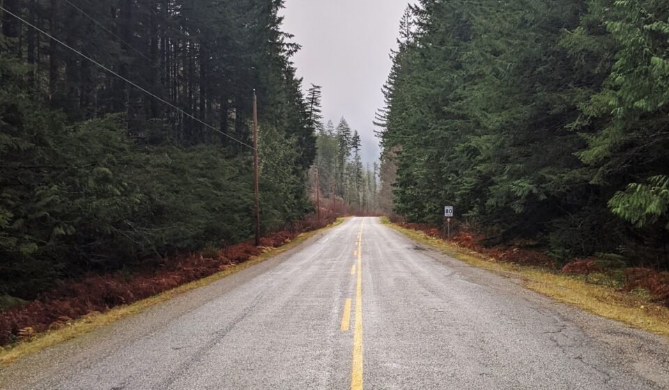

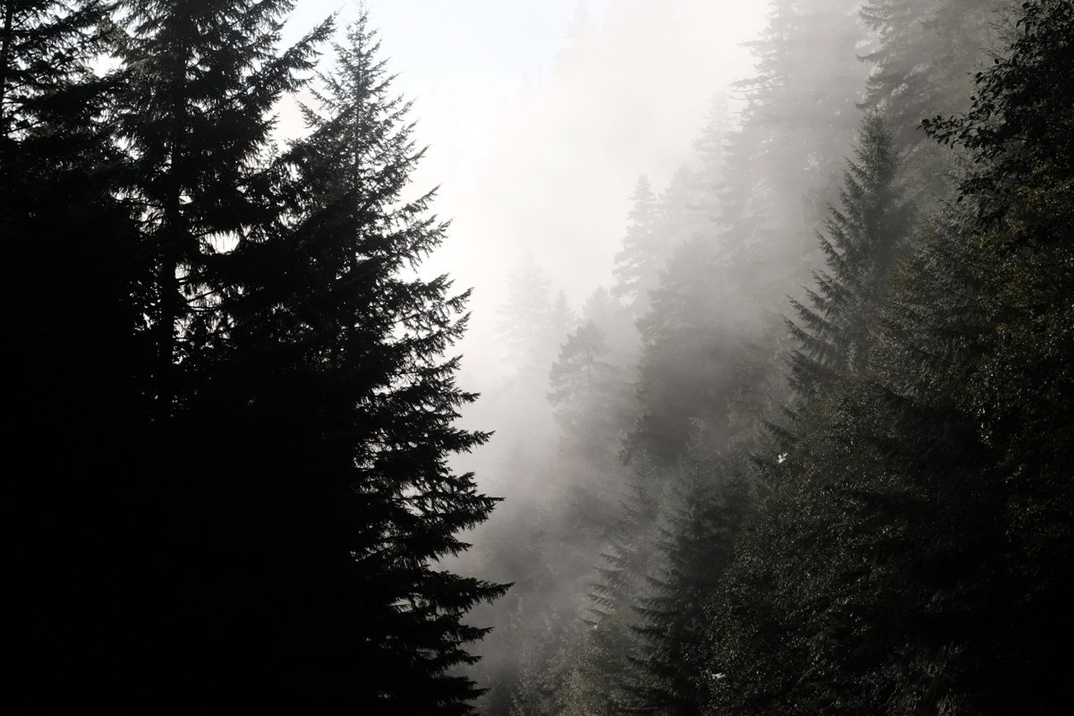
Everyone doing a Pacific Northwest road trip treats I-5 like a conveyor belt between Seattle and Portland, two cities that get all the credit as gateways and none of the atmosphere. Compare that to Forks, Washington, where fog sits in the trees most mornings and nobody is in a hurry, or to Mendocino, California, perched on a bluff where the marine layer rolls in off the headlands. This list covers the Pacific Northwest proper plus Mendocino, its California fog cousin a few hundred miles south of the Oregon border, and sorts nine backroad towns into three tiers based on how far you have to commit to get the real version of this region, the one defined less by cities than by mountains, rain, and the microclimates stacked up behind them.
Each tier suits a different kind of trip. If you have a long weekend or a 3-day Pacific Northwest road trip budget, start at the top. If you are building a proper 10 to 14-day Pacific Northwest road trip route, work all the way down. Roughly in driving order, a loop could run Port Townsend to Index to Leavenworth (Washington interior), then down the coast through Astoria, Cannon Beach, Forks, Oysterville, and Metaline Falls if you detour northeast, with Forks of Salmon and Mendocino as a separate southern leg best paired with a Northern California trip rather than bolted onto the same drive.
Easy wins (a weekend, no planning)
Port Townsend, Washington
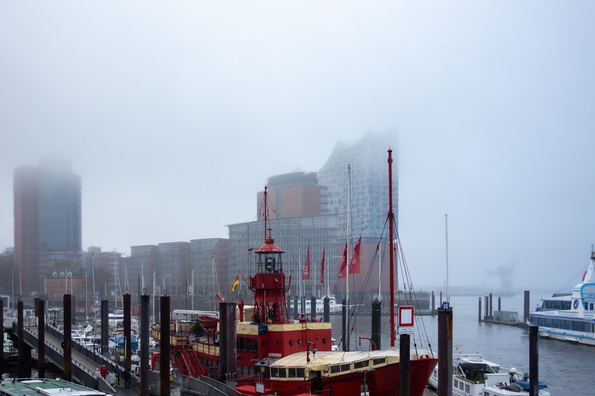
Port Townsend sits at the tip of the Quimper Peninsula, a Victorian seaport that boosters in the 1890s hoped would become a major rail terminus and shipping hub on Puget Sound. The railroad money never arrived, and the town’s growth stalled out. The unfinished grandeur is the charm now: brick buildings, a working waterfront, and fog that rolls off the Strait of Juan de Fuca on many mornings from fall through spring. For food after you’ve wandered the waterfront, Sirens Pub on Water Street has reliably been serving the view and the fish and chips for years. It is an easy add-on if you are already routing between Seattle and the Olympic Peninsula, reachable by a short ferry ride from Whidbey Island or a drive around via Discovery Bay.
Effort: About 2 to 2.5 hours from Seattle including one ferry crossing, no reservations needed outside summer weekends.
Cannon Beach, Oregon
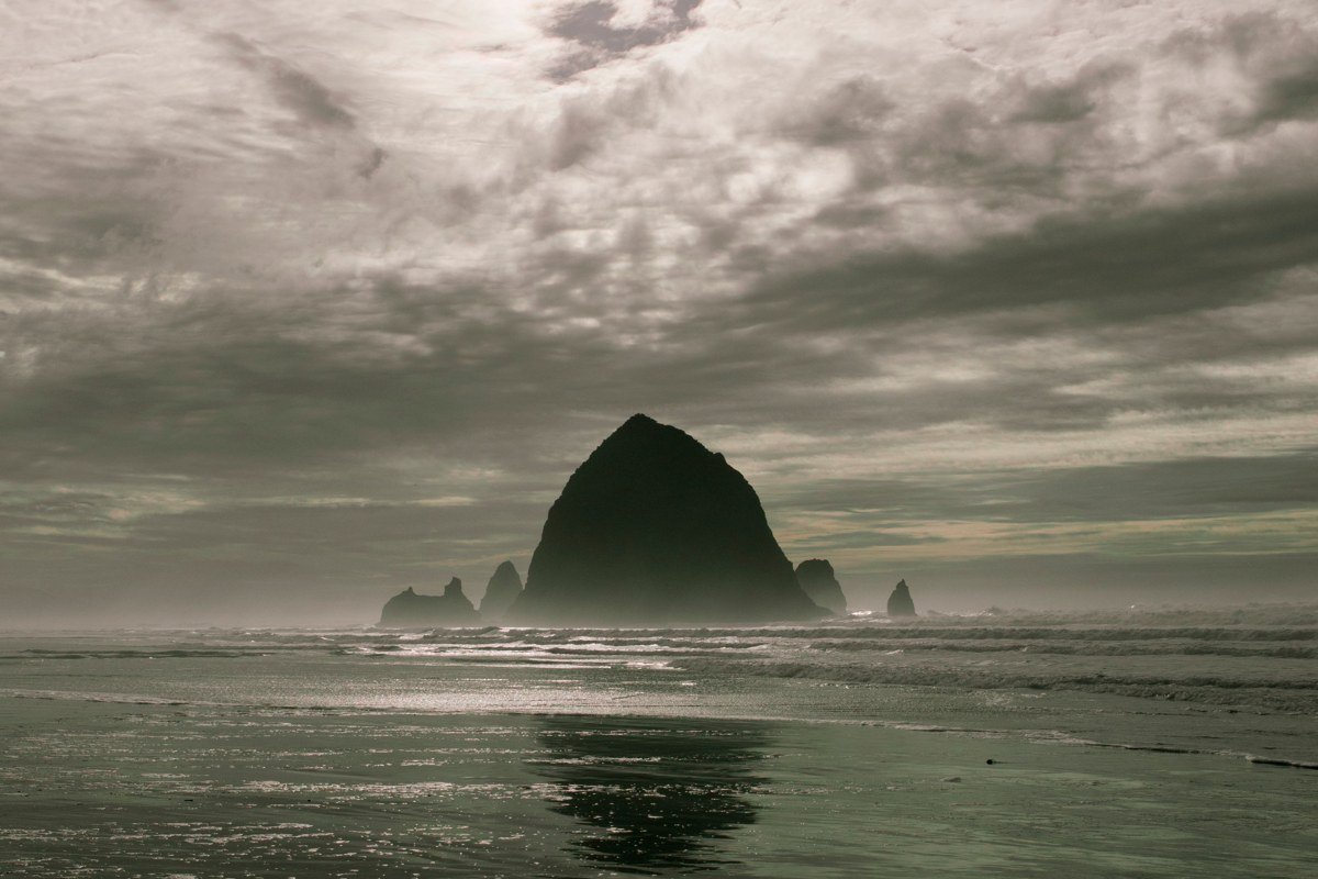
Cannon Beach gets crowded in July, but show up in the shoulder months and the fog does something it can’t do in a parking lot full of tour buses: it obscures Haystack Rock almost completely, then clears in patches as the morning sun burns through. This is one of the most photographed stretches of the Oregon coast, and the one travelers most often call overrated when they hit it at noon in August. Walk the Haystack Rock tide pools at low tide (check a tide chart before you go, since they’re only exposed for a window of a few hours) and the complaint mostly disappears.
Effort: About 90 minutes from Portland, free beach access, paid lots fill early on weekends.
Leavenworth, Washington
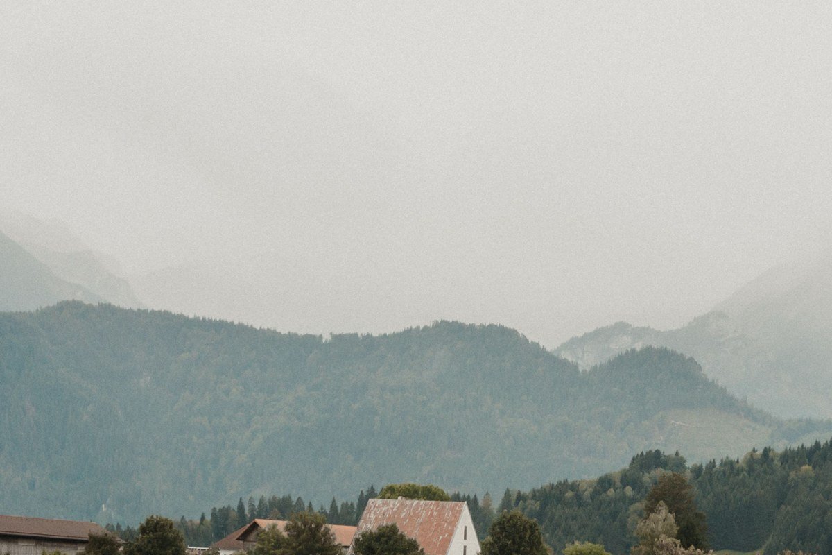
Leavenworth is a built Bavarian theme town, which usually earns an eye-roll, but it sits in a genuine mountain bowl in the Cascades where valley fog pools below treeline well into late morning. The kitsch is real and so is the terrain around it: the town rebranded itself this way in the 1960s after its timber and rail economy declined, and the bet paid off. Skip the main-strip pretzel lines and head five minutes out of town to the Icicle Gorge Loop Trail, an easy 4.3-mile loop along the creek that stays quiet even on busy weekends.
Effort: About 2.5 hours from Seattle over Stevens Pass, which can close briefly in heavy winter storms.
Worth the drive
Forks, Washington
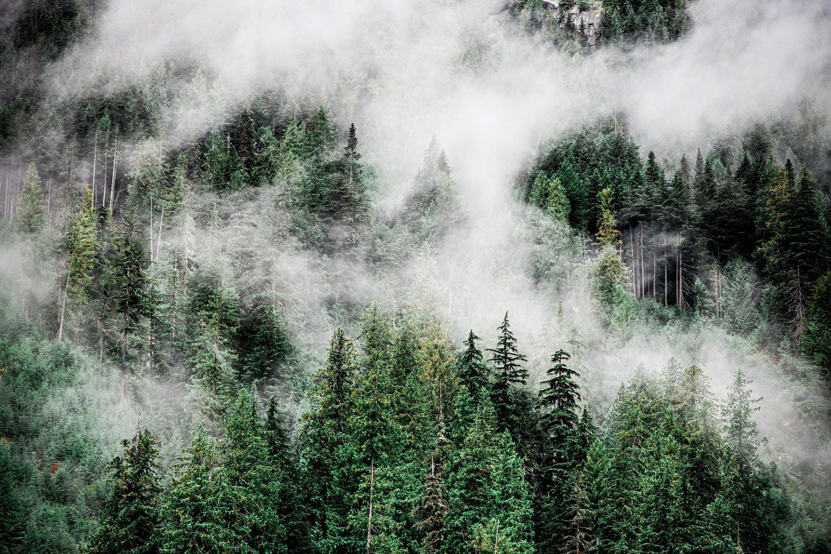
Forks gets mentioned for the Twilight connection and almost nothing else, which undersells it badly. It’s one of the wettest towns in the contiguous US, with annual rainfall commonly cited well over 100 inches, and it sits at the edge of the Hoh Rainforest inside Olympic National Park, where moss hangs thick enough to blur the line between tree and air. The Hoh River Trail out of the visitor center is the easiest way to get into that rainforest on foot, flat and well-marked for the first several miles before it climbs toward Mount Olympus. The town itself is modest, a former logging hub with a handful of diners, but it is the only reasonable base for the Hoh and the wilder, less-visited beaches at La Push.
Effort: About 3.5 hours from Seattle, longer in winter if you take the loop around the peninsula instead of the ferry.
Mendocino, California
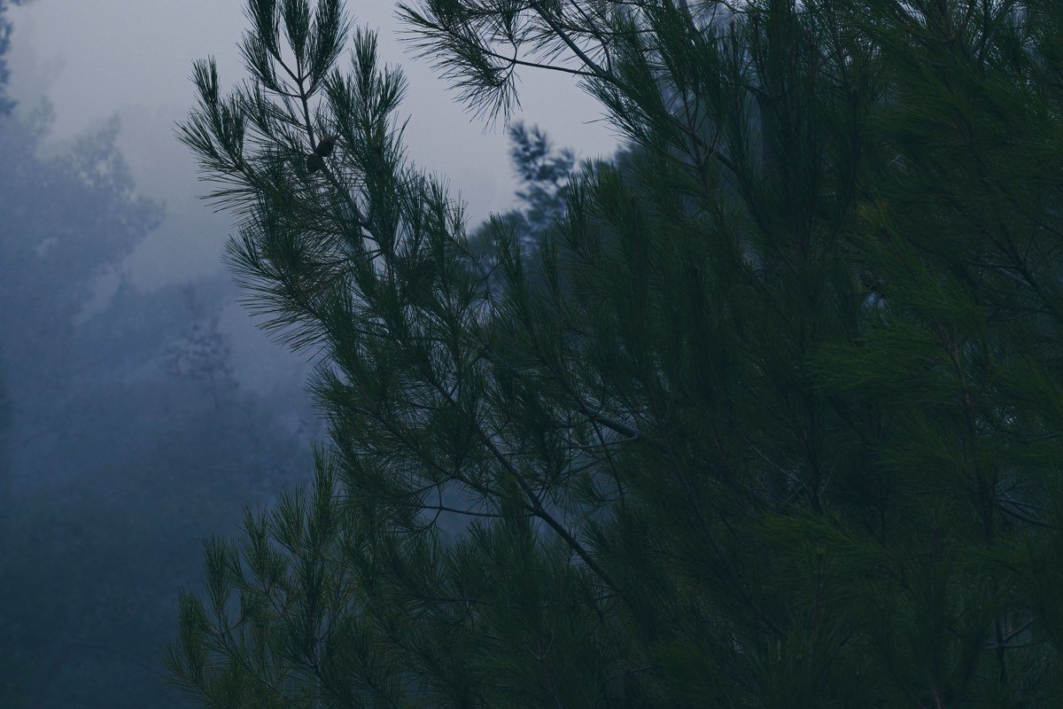
Mendocino is technically Northern California, well south of the Pacific Northwest proper, but its climate and look (coastal headlands, persistent fog, dramatic bluffs) earn it a place on this list as a detour for anyone extending the trip south. The headlands hold fog for long stretches most mornings, and the town’s New England-style architecture (local histories credit settlers from Maine and other northeastern states arriving in the 1850s logging boom) looks out of place against the redwood coastline in a way that works. Fog along this stretch of coast tends to build through summer as inland heat pulls marine air onshore, so don’t assume a July trip means clear skies. Walk the Mendocino Headlands State Park trail that loops the bluffs right off Main Street for the clearest sense of the town’s setting.
Effort: About 3 hours north of San Francisco on winding Highway 1, plan extra time, there is no fast way in.
Astoria, Oregon
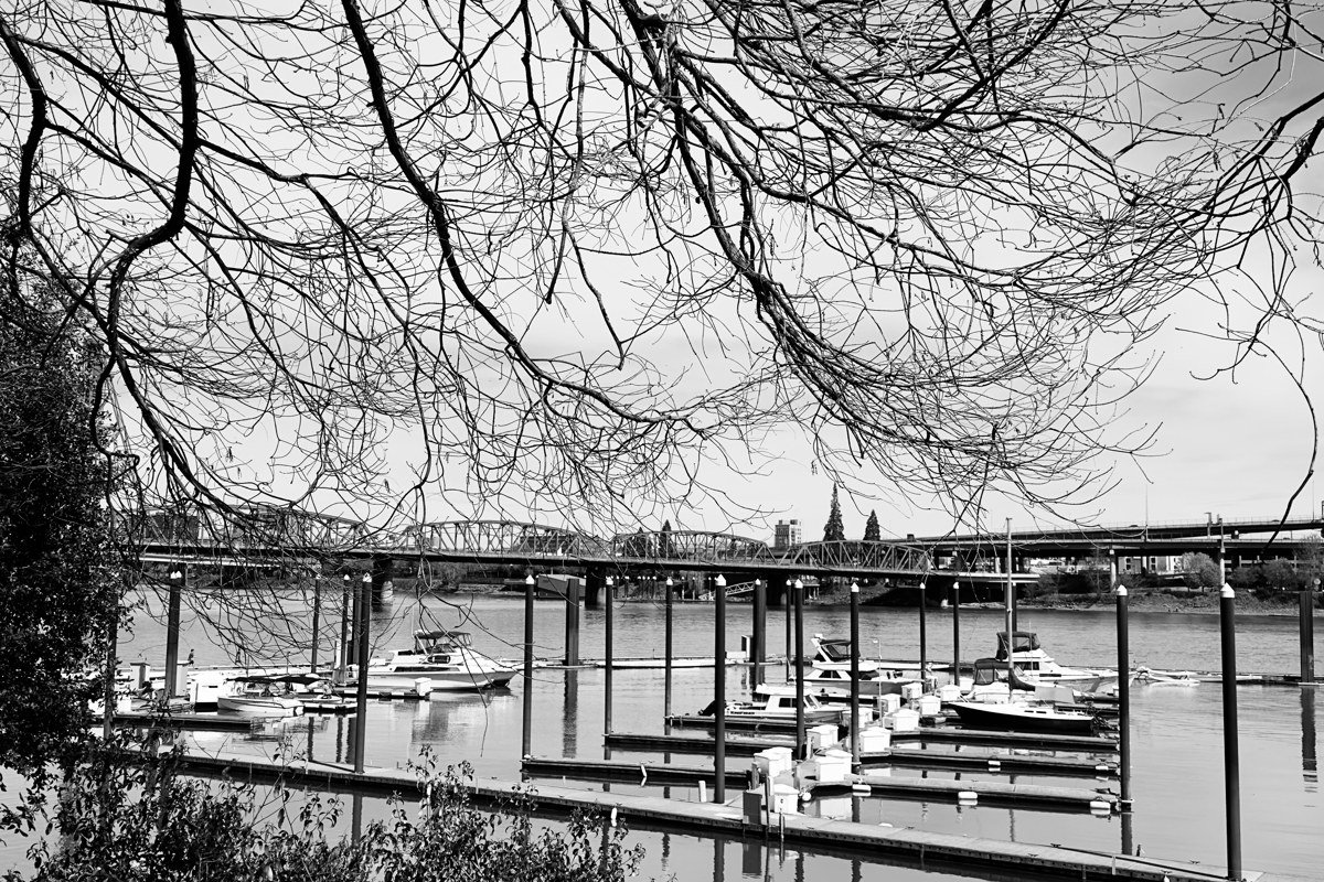
Astoria sits where the Columbia River meets the Pacific, a working port town old enough to trace its roots to a fur-trading outpost established before Oregon was a state. The four-mile Astoria-Megler Bridge into Washington regularly disappears into fog from the middle span outward, which is unsettling the first time you drive it and routine to locals. The town has real texture: former canneries turned into breweries like Buoy Beer Company on the waterfront, the Astoria Column you can climb for a view over the river mouth, and weather that sets it apart from the beach towns further south that draw more day-trip traffic.
Effort: About 2 hours from Portland, no permits needed, bridge can have reduced visibility driving in early morning.
Index, Washington
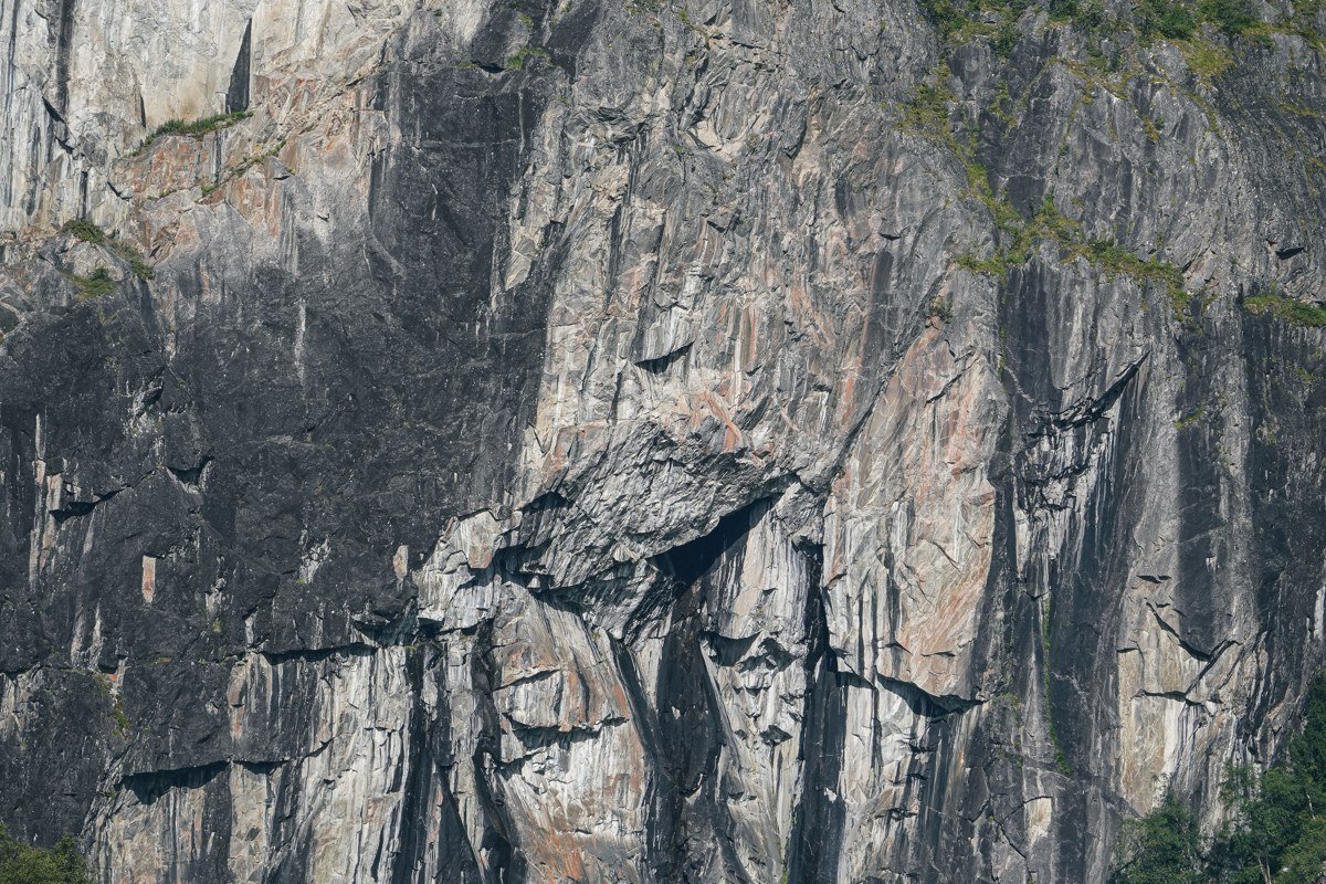
Index is barely a town, a few dozen people and a general store, tucked into a valley on US 2 beneath granite walls popular with rock climbers. Fog pools against the cliffs here, especially in late fall after the first cold snap. Most people drive through without stopping on their way to Stevens Pass; the ones who pull off find the river access at Index Town Wall and a quiet the bigger stops on this corridor lost years ago.
Effort: About 1.5 hours from Seattle, no facilities to speak of, bring your own food and water.
Earn it (long haul, big payoff)
Forks of Salmon, California
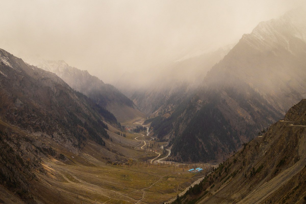
This one barely qualifies as a town, more a cluster of houses at the confluence of the Salmon River’s two forks deep in the Klamath Mountains of Northern California. The road in is narrow, cliff-edged, and slow by design; there is no cell service and no gas for a long stretch in either direction. What you get for the trouble is fog settling into a river canyon remote enough that old-growth forest still stands on slopes too steep to have ever been logged profitably. Sarah Totten Campground on Highway 96, run by the Klamath National Forest, is the nearest established camping if you want to stay over rather than day-trip it.
Effort: 4 to 5 hours from Portland or 6 from Seattle, plan a full tank before you leave Highway 96, this is not a place to run low.
Metaline Falls, Washington
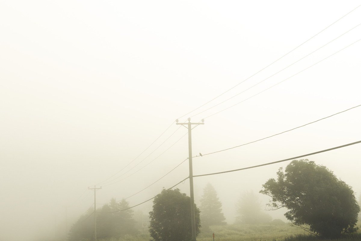
Metaline Falls sits in the far northeast corner of Washington near the Idaho and Canadian borders, a onetime cement-company town now down to a few hundred residents, an old theater, and a river valley that holds fog against the Selkirk Mountains. Almost nobody doing a standard Seattle-to-Portland loop ever sees this part of the state; it belongs to a drier, more continental climate zone entirely, the kind the mountains create once you’re east of the Cascades. Gardner Cave at Crawford State Park, a short drive north, is one of the longest limestone caves in Washington and makes a solid reason to stop beyond the town itself.
Effort: 5.5 to 6 hours from Seattle, the last stretch is a two-lane road with long gaps between towns, check weather before fall or spring trips since early snow is possible at elevation.
Oysterville, Washington
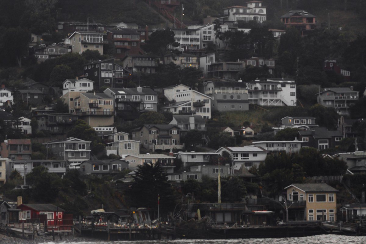
Oysterville is a National Historic District of roughly twenty buildings on the Long Beach Peninsula, founded in the 1850s on a native oyster boom that collapsed within decades once the beds were overharvested. It never got redeveloped because the money simply left; what’s left is a scattering of original houses facing Willapa Bay, where fog sits over the oyster beds at low tide for much of the year. There’s no restaurant or gas station here, just the Oysterville Church at the center of the historic district and the quiet grid of streets around it, which is the point. For food or supplies, Oysterville Sea Farms at the edge of town sells oysters and a few basics.
Effort: About 3 hours from Portland plus a final stretch of unmarked back roads, bring cash and food since there are no services in town.
If your first trip stayed in the easy-wins tier, the move for next time isn’t simply driving further, it’s timing the trip for fall through spring, when fog and rain are more consistent and crowds are thinner, since that’s when the earn-it tier stops feeling like a detour and starts feeling like the actual Pacific Northwest road trip everyone else is missing.