
The mistake most people make is treating Big Bend like a day trip to the Chisos Basin with a quick photo stop at Santa Elena Canyon on the way out. If you’ve already done that loop, the real find here is the western corridor between Study Butte, Texas and the river itself, where the park trades mountain views for canyon walls, hot springs, and ghost towns that get a fraction of the Basin’s foot traffic.
Park entrance is $30 per vehicle, good for seven consecutive days, payable at the Maverick entrance station on the west side (the one you’ll use coming from Study Butte) or at Panther Junction if you enter elsewhere. An annual Big Bend pass runs $55, and the America the Beautiful interagency pass ($80/year) covers it too. Self-pay envelopes are available at the gate if the station isn’t staffed.
I put this list together the way a repeat visitor actually plans a second or third trip: by driving Ross Maxwell Scenic Drive and the river roads slowly, stopping at the pullouts everyone else blows past, and noting which spots had empty parking lots at times the Basin trailheads were full. These eight stand out because they reward the drive itself, not just the destination.
| Place | Best for | Getting there |
|---|---|---|
| Santa Elena Canyon, Texas | Dramatic canyon walls, short hike | End of Ross Maxwell Scenic Drive, 8 miles of paved road, about 1 hour from Study Butte |
| Terlingua Ghost Town, Texas | Sunset, history, no park fee needed | Just outside the park on FM 170, 4 miles from Study Butte |
| Castolon Historic District, Texas | Quiet ranger talks, old adobe buildings | Mile 20 on Ross Maxwell Scenic Drive |
| Mule Ears Overlook, Texas | Roadside views without a crowd | Pullout on Ross Maxwell Scenic Drive, no hike required |
| Hot Springs Historic District, Texas | Soaking in a riverside spring | Gravel road off TX-118 near Rio Grande Village, high-clearance recommended in wet weather |
| Tuff Canyon, Texas | Short scramble, unusual rock | Mile 17 on Ross Maxwell Scenic Drive |
| Burro Mesa Pour-off, Texas | Dry waterfall, slot canyon feel | Spur road off Ross Maxwell Scenic Drive, 3.5 miles each way round trip hike |
| Rio Grande Village Nature Trail, Texas | Birdwatching, river access, easy walk | Far east end of the park, 20 miles past Panther Junction |
Santa Elena Canyon, Texas
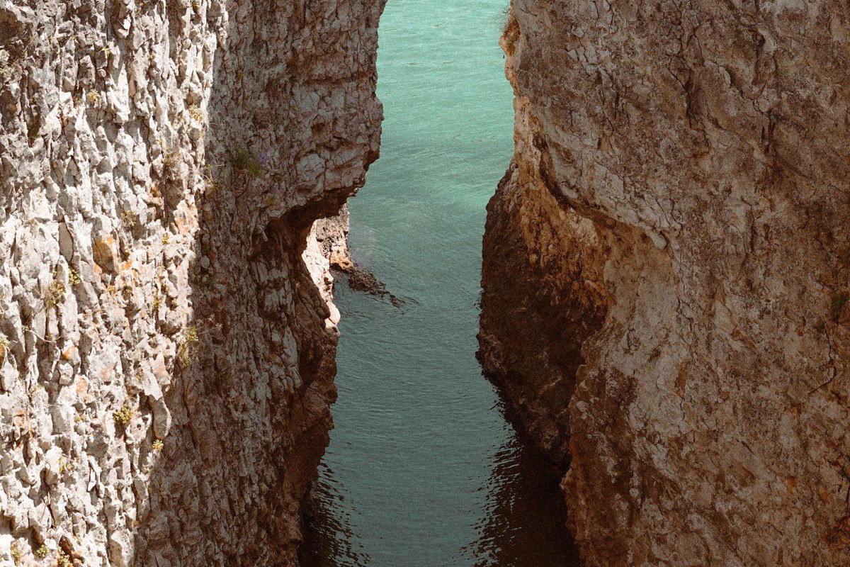
The canyon walls run 1,500 feet up on both sides, squeezing the Rio Grande into a corridor barely wide enough for the river to pass through, and it’s the one shot of Big Bend you’ve probably already seen on Pinterest. What the photos don’t show is the short, sandy approach trail that crosses Terlingua Creek, which can be ankle-deep or completely dry depending on recent rain, so don’t wear your good shoes without checking first. The hike itself is under 2 miles round trip, paved partway, then stone steps that climb along the canyon wall for a view back down the gorge. Go at midday if you want the canyon walls lit up gold on both sides, since by late afternoon one side falls into shadow.
Terlingua Ghost Town, Texas
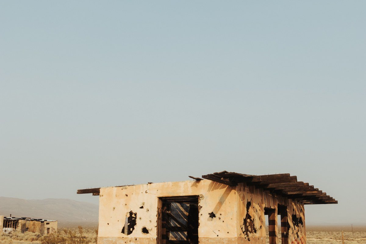
Terlingua sits just outside the park boundary on FM 170, so you don’t need your park pass to wander its crumbling mercury-mining ruins and the cemetery on the hill above town. Most people treat it as a dinner stop before or after Big Bend, but the porch of the old trading post at sunset, with the Chisos Mountains turning pink in the distance, is worth building time around rather than rushing through. It gets busy on weekend evenings, especially around live music, so come on a weekday or arrive before the dinner rush if you want quiet. This is also your last realistic stop for gas, ice, and cell signal before you commit to the park’s western roads.
Castolon Historic District, Texas
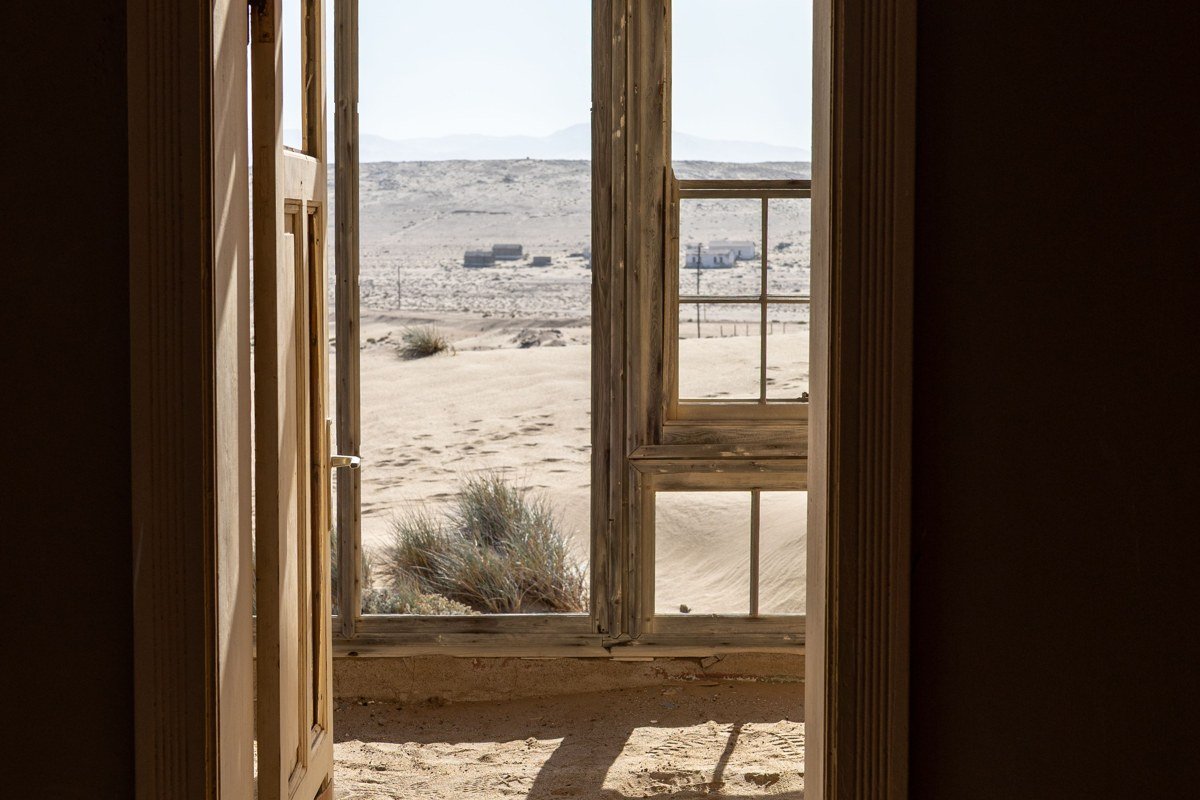
Castolon was a farming community and a US Army outpost, and the buildings still standing, adobe walls, a restored barracks, an old store, give it a stillness the Basin never has. The visitor contact station is typically open November through April and closed the rest of the year, so check the park’s current operating hours before counting on it. The historic Castolon store that once sold snacks and basic supplies has been closed for several seasons, so treat this stop as self-sufficient: bring your own water and food. The area also marks a turnoff toward the river and Santa Elena Canyon, so it folds easily into the same drive rather than a separate trip.
Mule Ears Overlook, Texas
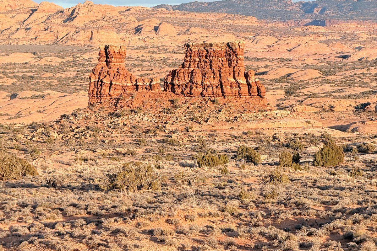
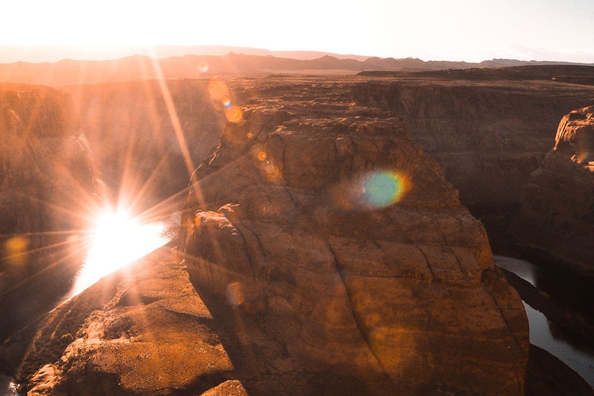
Two volcanic rock spires, close enough together to look like a mule’s ears from the highway pullout, give this spot its name and its entire appeal. The view is a straight shot from the parking area, no hike required, which makes it one of the few effortless payoffs on Ross Maxwell Scenic Drive. A longer trail continues toward the formations and a spring beyond, about 3.8 miles round trip, and that spring is one of the more reliable places in the park’s western section to spot javelina tracks near the water in cooler months. Most visitors are satisfied with the roadside look and keep driving.
Hot Springs Historic District, Texas
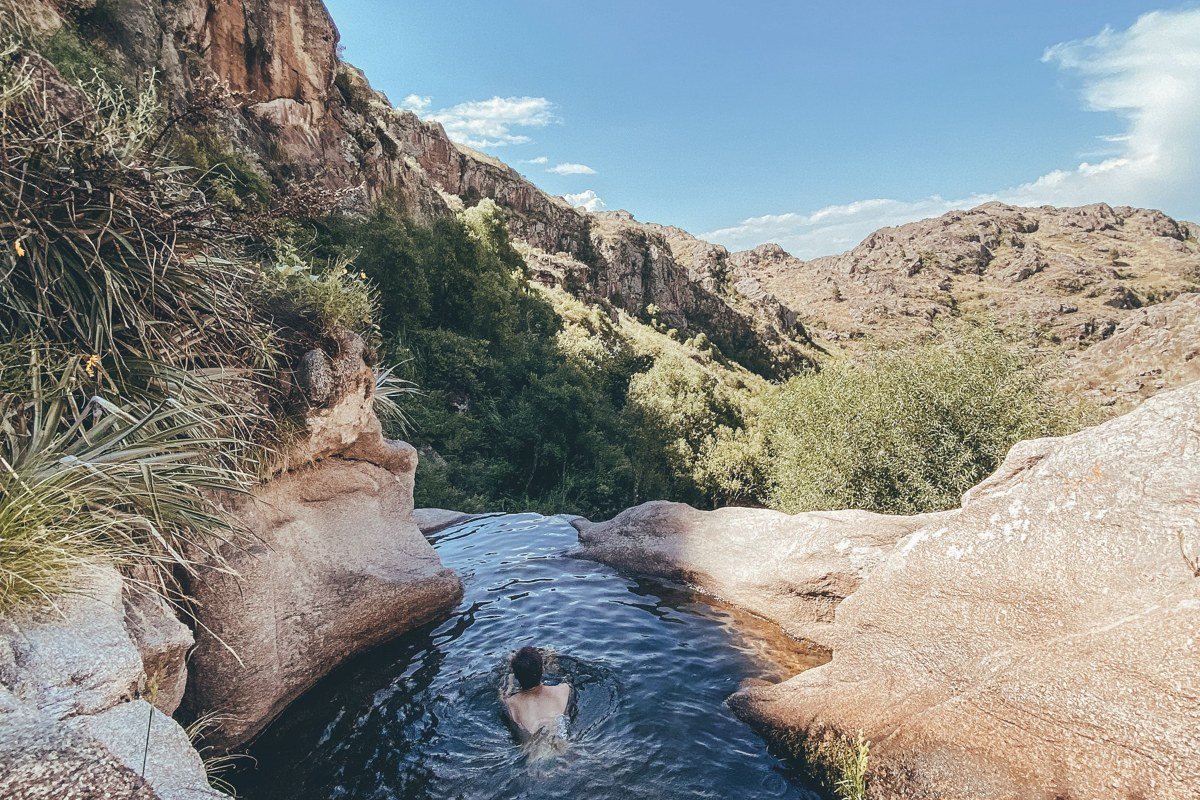
The hot spring itself is a low stone foundation, the remains of a 1909 bathhouse, sitting right at the river’s edge, with Mexico visible on the opposite bank. The access road is gravel and narrow, with a low-water crossing that the park closes after significant rain, so check current road status before committing a passenger car to it. This stretch of the Rio Grande also marks the international border: wading or crossing to the Mexican side away from the official Boquillas Port of Entry is illegal, and that port of entry is several miles east near Rio Grande Village, not at Hot Springs. There’s a half-mile walk from the parking area along an old roadbed with pictographs and ruins on the way in. Morning is the best time for light and for having the pool to yourself before midday visitors arrive from Rio Grande Village.
Tuff Canyon, Texas
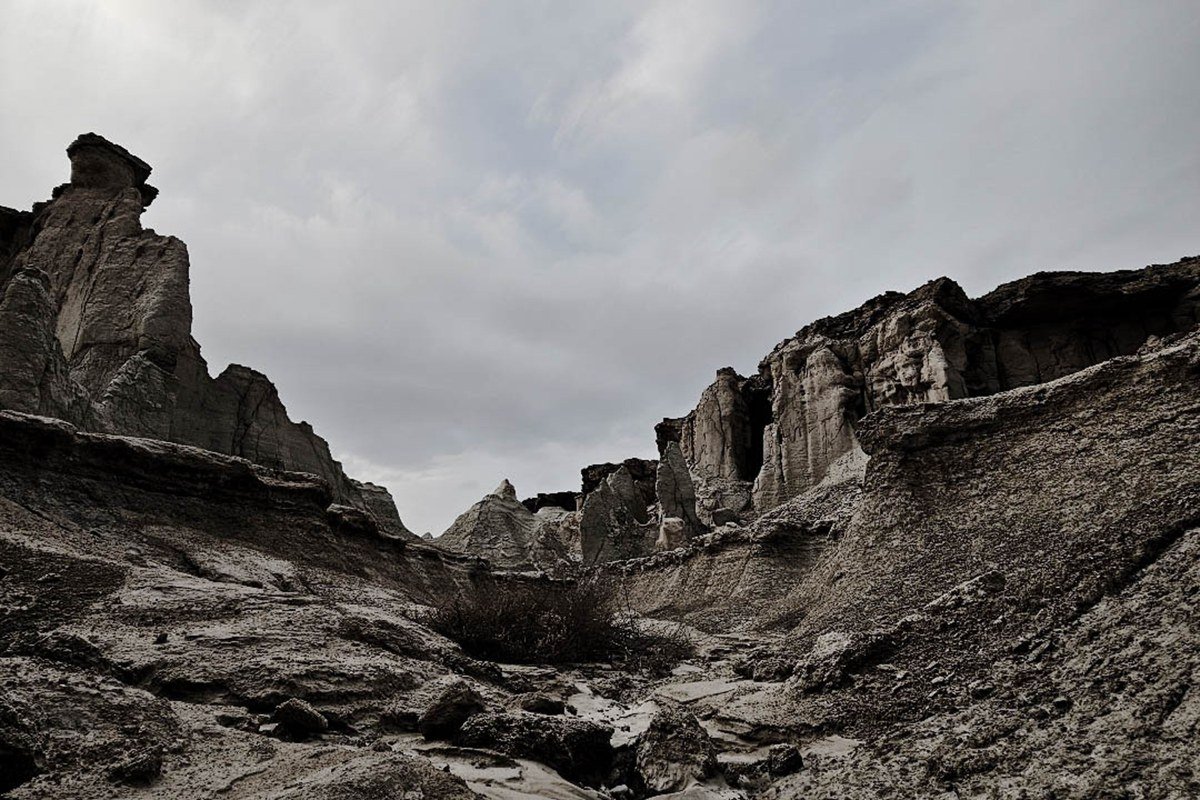
Tuff Canyon looks like a minor pullout from the road, which is why most cars drive past it, but the overlook sits above a narrow slot cut into soft volcanic ash rock, and a short trail lets you descend into the wash itself. It’s a 20 to 30 minute stop at most, an easy add rather than a destination to plan around. The rock is soft enough that the canyon’s walls measurably erode after major flash floods, visible as fresh pale scarring against older, darker-weathered rock on the canyon sides.
Burro Mesa Pour-off, Texas
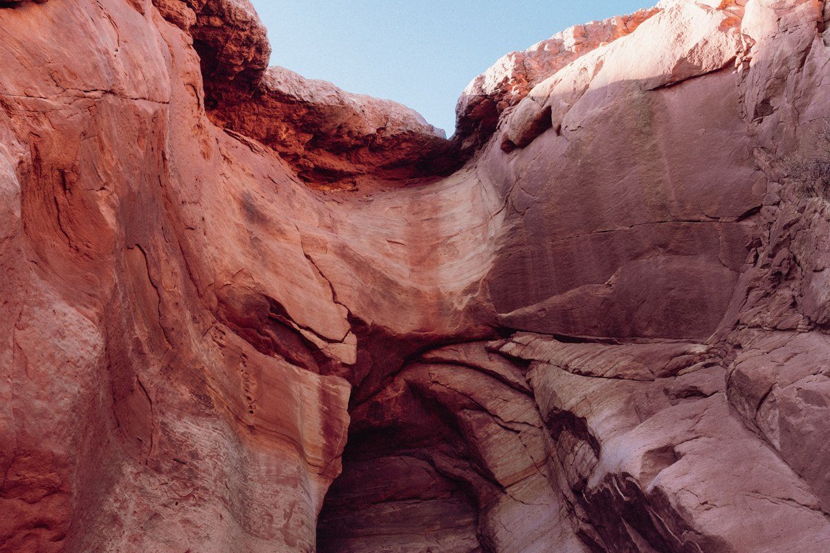
This is a dry waterfall most of the year, a smooth chute of rock that runs with water during the summer rainy season, roughly July through October. The hike in is flat and sandy, about 3.5 miles round trip from the spur road parking area, ending in a box canyon with the pour-off at the back. The canyon is a drainage channel, so the park’s guidance is direct: if thunderstorms are visible anywhere nearby, turn back, since flash floods here can arrive from rain falling miles away and out of sight. Outside the rainy season it’s a quieter, shadier hike with layered volcanic rock visible on the walls even with no water falling.
Rio Grande Village Nature Trail, Texas
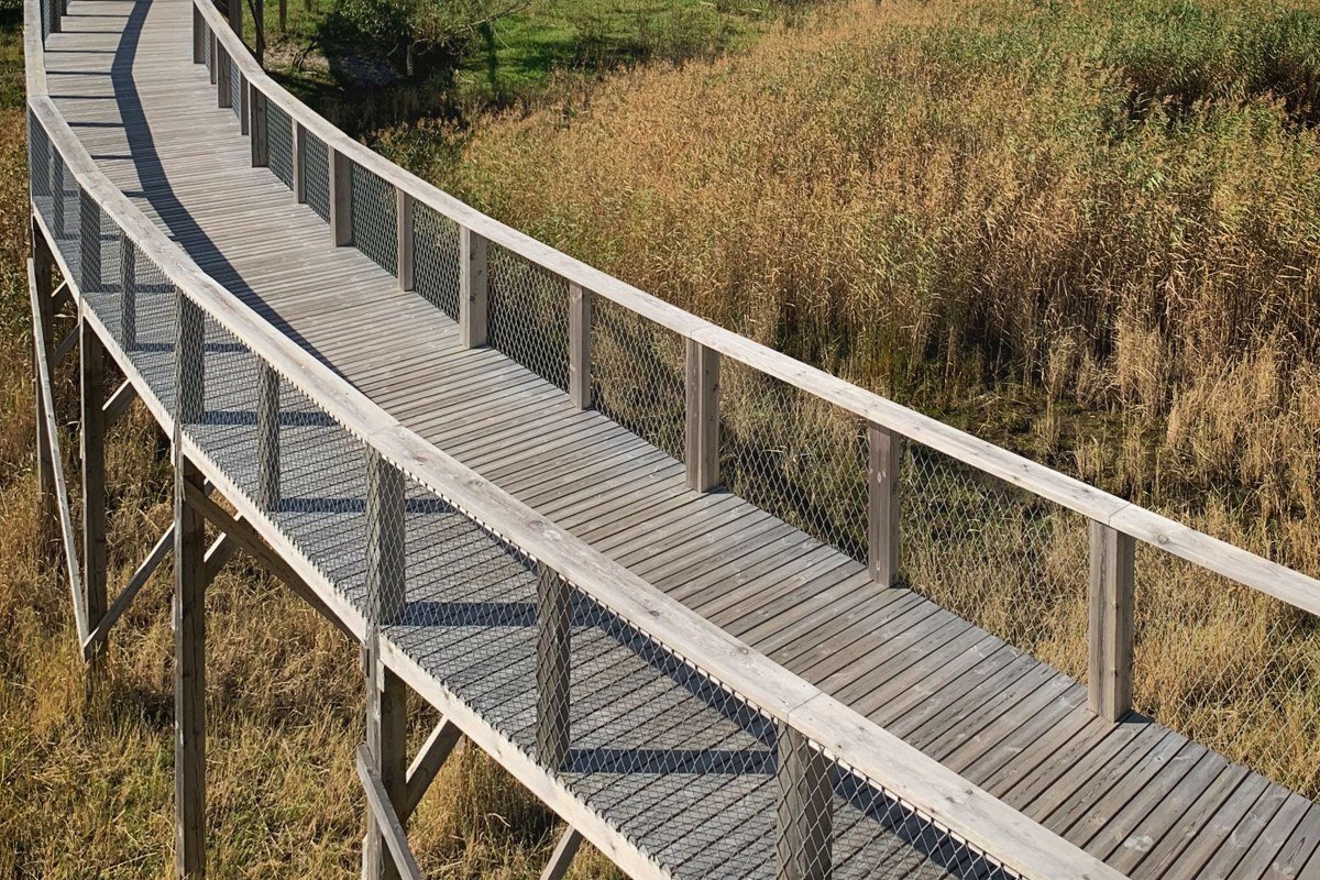
On the opposite end of the park from the western drive, this easy loop trail threads through a cottonwood grove and wetland before climbing a small bluff with a wide view over the Rio Grande floodplain into Mexico. It’s under a mile and mostly flat, and the water and tree cover concentrate bird species, vermilion flycatchers and various migrating warblers among them, that you won’t see out in the open desert. This is also the closest crossing point to Boquillas del Carmen, Mexico: the official port of entry nearby requires a passport and operates on a published seasonal schedule, so check current hours before planning a crossing. Pair the trail with the nearby campground store for the park’s other gas stop besides Panther Junction, useful if you’re running low after the drive in from the west side.
FAQ
Is the western side of Big Bend worth it if I’ve already done the Chisos Basin?
Yes, and arguably more so on a repeat visit, since the canyon and river scenery here is completely different terrain from the mountain trails around the Basin. Ross Maxwell Scenic Drive alone justifies a half or full day without overlapping anything you’d have done before.
What’s the biggest mistake people make driving this route?
Underestimating distances and services: gas up in Study Butte or Terlingua beforehand, carry more water than feels necessary, and don’t assume cell signal past the park boundary. The speed limit throughout the park is 45 mph with curves and wildlife on the road, so budget more driving time than the mileage suggests.
When should I avoid this part of the park?
Peak summer heat makes exposed trails like Mule Ears or Burro Mesa miserable by midmorning, so aim for early starts if you’re visiting June through August. The rainy season from July through October brings flash flood risk to low-lying spots like Hot Springs and Burro Mesa Pour-off, so check the park’s current road and weather advisories before committing to either.