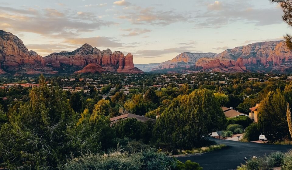

Red Rock Crossing gets photographed so often it’s practically a stand-in for Sedona, Arizona itself: red cliffs stacked behind a slow curl of Oak Creek, Cathedral Rock poking up like it was ordered from a postcard catalog. Compare that to Grasshopper Point, a swimming hole ten minutes up the road where the parking lot fills by 9am in June and nobody’s taking a single photo, they’re just getting wet. Both are real Sedona. Only one of them is what people actually do on a 100-degree afternoon. This list sorts eight creek spots by how much effort they cost you, so you can match the trip to the version of Sedona you actually want.
Easy wins (a weekend, no planning)
Grasshopper Point, Arizona
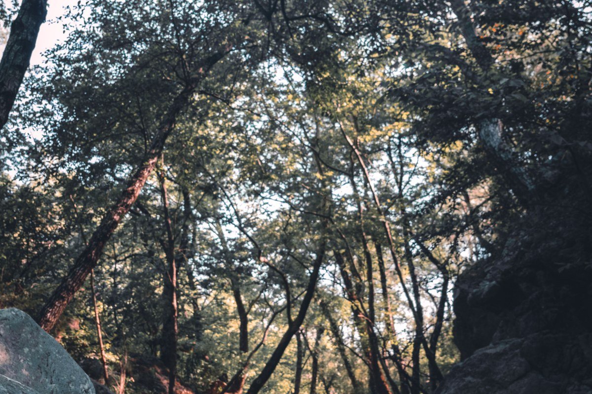
Locals mean this when they say “the creek” without further explanation. Two miles north of town on AZ 89A, a short walk down from a paved lot gets you to a deep, shaded pool with a low cliff a few people jump from and plenty more who just float. The water stays cold even in August, which is the entire point when it’s 105 in town.
Parking is the catch. The lot is small, the site charges a day-use fee (the Coconino National Forest’s standard Red Rock Pass or a site fee collected on-site, depending on the season), and by mid-morning on a summer weekend it’s full, with cars lining the shoulder of 89A in a way the forest service periodically cracks down on. Go before 9am or after 4pm, or go on a weekday.
Effort: 10 minutes from uptown Sedona, flat walk under 5 minutes from the lot, no permit, just get there early.
Oak Creek at Encinoso Picnic Area, Arizona
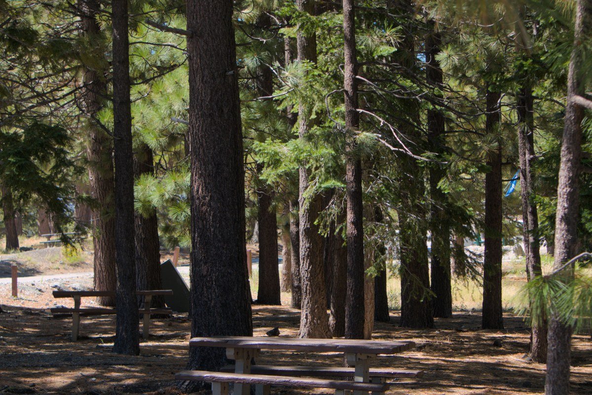
Encinoso is the spot you bring a cooler, a folding chair, and a kid who can’t swim yet. The creek here runs shallow and slow, more wading than swimming, with sycamores throwing real shade over a small picnic area that rarely fills the way Grasshopper Point does. Flow drops noticeably by late summer, so if you want the creek at its fullest, come in late spring while snowmelt is still feeding it.
It sits along 89A in Oak Creek Canyon between Sedona and Flagstaff, so it also works as a cool-down stop if you’re driving the canyon road rather than a standalone destination.
Effort: 15 minutes north of Sedona on 89A, no hike at all, small day-use fee, picnic tables often open on weekday mornings.
Slide Rock State Park, Arizona

Slide Rock is the most famous name on this list after Red Rock Crossing itself, and it earns the fame honestly: a natural sandstone chute slicks you a few dozen feet down the creek, and on a summer day the line for it looks like a water park queue, because functionally it is one. This is the pick for a family trip where the kids want an activity, not just a view.
Entrance runs $20 to $30 per vehicle depending on season (check azstateparks.com for the current rate before you go), and the lot hits capacity and closes entry by mid-morning most summer weekends. Arrive at opening or skip Saturday entirely.
Effort: 20 minutes north of Sedona on 89A, parking fills fast Jun-Aug, go on a weekday or right at opening.
Worth the drive
Red Rock Crossing / Crescent Moon Picnic Site, Arizona
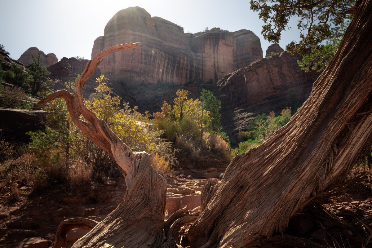
It’s the famous one for a reason. Cathedral Rock reflected in Oak Creek is one of the most photographed views in the Southwest, and it deserves the reputation even if it’s not a secret. Wading is easy here and the current is gentle. Day-use costs $12 per vehicle, collected at the entrance booth.
The honest complaint locals make isn’t that it’s overrated, it’s that people treat it purely as a photo stop and miss that the water stays swimmable well into the evening, long after the tripods clear out. Go at sunset for the photo everyone wants, but bring a towel and stay.
Effort: 15 minutes from uptown, paved lot, $12 day-use fee, 5-minute walk to the water.
West Fork Trail Pools, Arizona
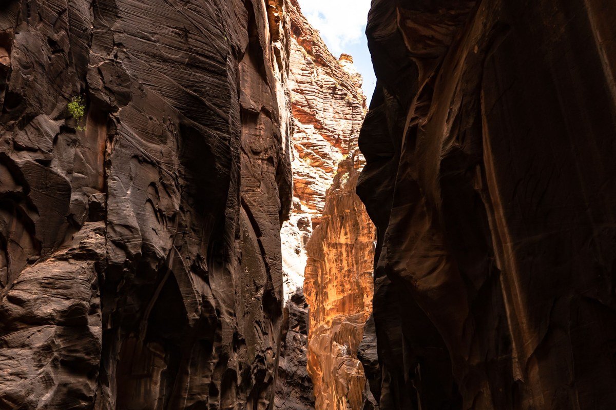
West Fork is sold as a hike, and it is one, but the real draw for a lot of locals is the string of cold, deep pools and creek crossings along the first couple of miles, especially past the three-mile mark where the canyon narrows and the crowds thin fast. You’re not swimming laps here, you’re dunking in after a sweaty mile, which in July is its own kind of reward.
It’s also one of the most popular trails in the entire Sedona area, so the small trailhead lot off 89A fills before 9am most of the year, not just summer. There’s a day-use fee and no real overflow parking that isn’t a long road walk. After heavy monsoon rain, check current conditions before you go: flash flooding through the narrows has closed sections of this trail in past years.
Effort: 25 minutes north of Sedona, 3 to 6 miles round-trip depending how far you go, arrive before 8:30am or plan on parking frustration.
Call of the Canyon / Bootlegger Day-Use Area, Arizona
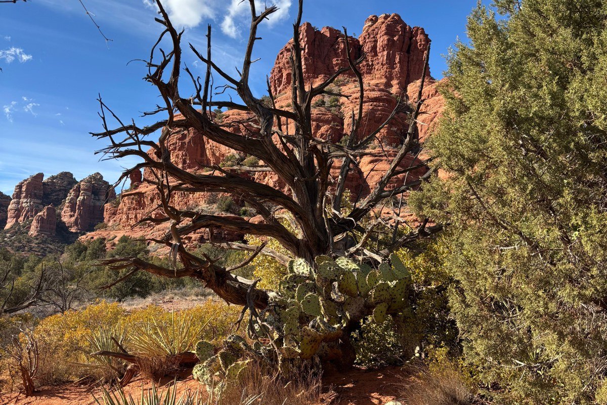
Bootlegger sits a few miles south of the West Fork trailhead and gets a fraction of the traffic, mostly because it has no famous hike attached to it. It’s a straightforward day-use area with a short path down to a quiet, deep pool, good for people who want the cold-creek experience without the trailhead circus up the road.
Locals use this one as the backup plan when West Fork’s lot is full, which it usually is by mid-morning. It’s a reasonable swap, not a consolation prize.
Effort: 20 minutes north of Sedona on 89A, under 10-minute walk in, small lot, small fee, best on weekday mornings.
Earn it (long haul, big payoff)
Fossil Creek, Arizona
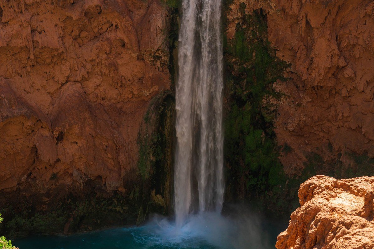
Fossil Creek is the trip Sedona locals make when they want water that looks almost unreal: turquoise, travertine-pooled, fed by a spring that keeps it running cold and clear year-round. It’s genuinely one of the best swimming spots in Arizona, not just near Sedona.
The catch is access. From roughly the first weekend of October through mid-May, the creek requires a day-use permit booked in advance through recreation.gov, with a capped number of vehicles per day; permits release on a rolling window and weekend dates typically go within the first hour or two. (From Memorial Day through Labor Day the Forest Service has in past years shifted to a different, more limited entry system, so check fs.usda.gov for the Coconino or Tonto National Forest before planning a summer trip.) The final few miles in on FR 708 are unpaved, rutted in spots, and slow going in a low-clearance car. This is not a spontaneous Saturday plan, it’s a trip you build a weekend around weeks ahead.
Effort: About 1.5 to 2 hours from Sedona via Camp Verde and Strawberry, including roughly 3 miles of unpaved FR 708, advance permit required in season, high-clearance recommended.
The Crack at Fossil Creek / Lower Fossil Creek Pools, Arizona
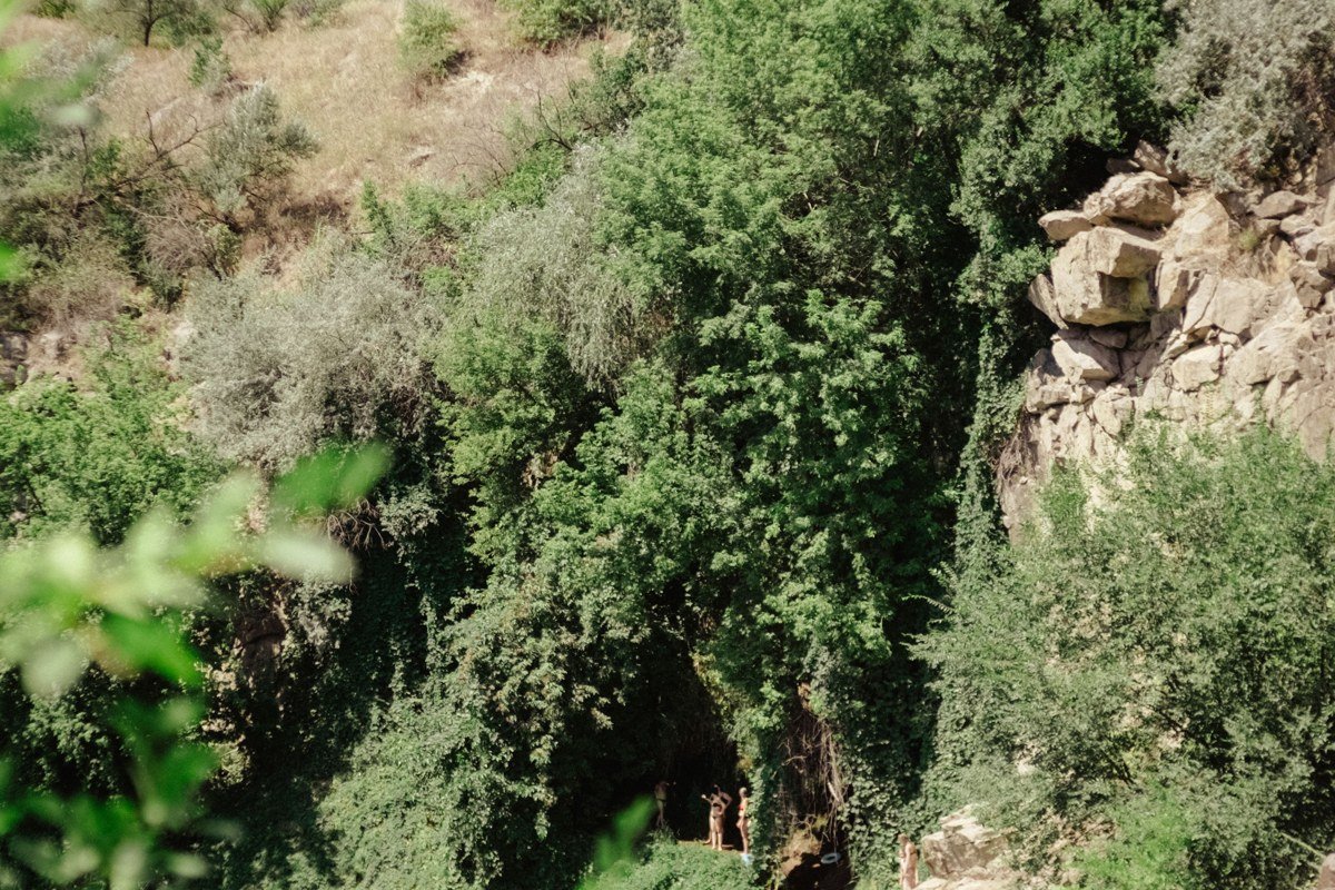
If you’re already making the drive to Fossil Creek, the lower stretch of pools (locals just call sections of it “the Crack”) rewards people willing to walk further past the main crowd near the trailhead. Deeper pools, a few informal cliff-jump spots, and noticeably fewer people than the first quarter-mile where everyone stops.
This is the payoff tier for a reason: permit, dirt road, a hike with real elevation change on the way back out in full sun, and still worth doing once. It’s not a repeat-every-visit spot for most people, more a once-a-trip pilgrimage.
Effort: Same permit and drive as Fossil Creek above, plus a 20 to 40 minute walk past the main pools, steep return climb in heat, best done fall through spring.
Moving up a tier mostly comes down to timing, not toughness. Showing up by 8am turns Grasshopper Point or Slide Rock into a calmer place than their 1pm selves, and the worth-the-drive tier just asks for a day-use fee and an earlier alarm. The earn-it tier is a logistics problem: book the Fossil Creek permit the moment the window opens, confirm your car can handle FR 708, and aim for May or October instead of the mid-summer heat that makes that dirt road miserable.