
Most people drive Scenic Byway 12 with the windows up and the cruise control on, because it sits in the gap between two national parks on every Utah national parks road trip itinerary and gaps are what you rush through.
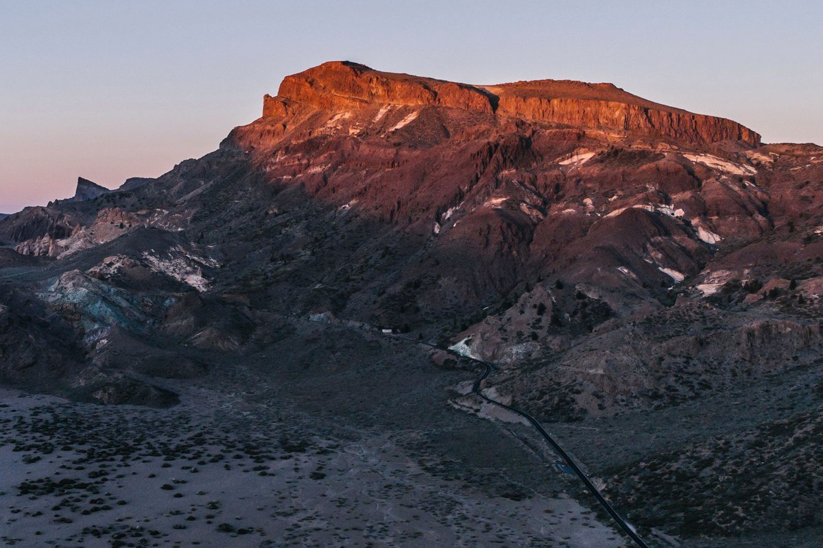
This stretch of southern Utah looks the way it does because the road crosses three different landscapes in under 90 miles: the pink limestone amphitheaters of the Paunsaugunt Plateau, the slickrock folds of Grand Staircase-Escalante, and the volcanic highlands of Boulder Mountain. The elevation swings from around 6,000 feet to over 9,000 feet, which means the same October afternoon can be t-shirt warm in Escalante and snowing on Boulder Mountain. Summer brings monsoon thunderstorms that can close sections with flash flood warnings, and winter occasionally closes Hell’s Backbone and slows Boulder Mountain with snowpack, so this is a road that rewards checking conditions rather than assuming it behaves like an interstate.
This is for travelers who’ve already built a Utah national parks road trip itinerary around Bryce Canyon and Capitol Reef and are tempted to treat the connecting highway as dead time.
A services note before you go: gas stations thin out fast past Escalante town. Top off there, since it’s the last reliable fuel stop before Boulder, roughly 35 miles and a mountain pass away. Cell coverage is unreliable to nonexistent through most of Grand Staircase-Escalante, on Hell’s Backbone Road, and over Boulder Mountain, so download offline maps before you leave Bryce or Escalante.
The Bryce Canyon approach
Red Canyon, Utah
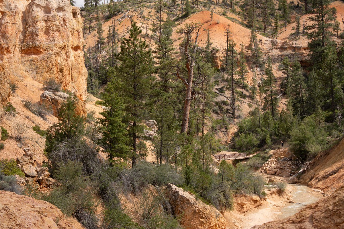
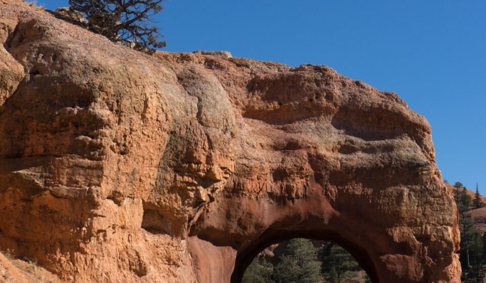
Red Canyon sits on Highway 12 just before the turnoff to Bryce Canyon National Park, and it’s the first real stop worth making. Two rock tunnels blasted through orange hoodoos frame the road, and a short walk up the Pink Ledges Trail gets you above the pullout for a view back down the canyon. Most people haven’t paid their park entrance fee yet at this point, so it’s a free preview of what’s coming, and it holds its own against sections inside the park itself.
Pair it with: Bryce Canyon’s Sunset Point, a 15-minute drive east.
Bryce Canyon Sunset Point, Utah
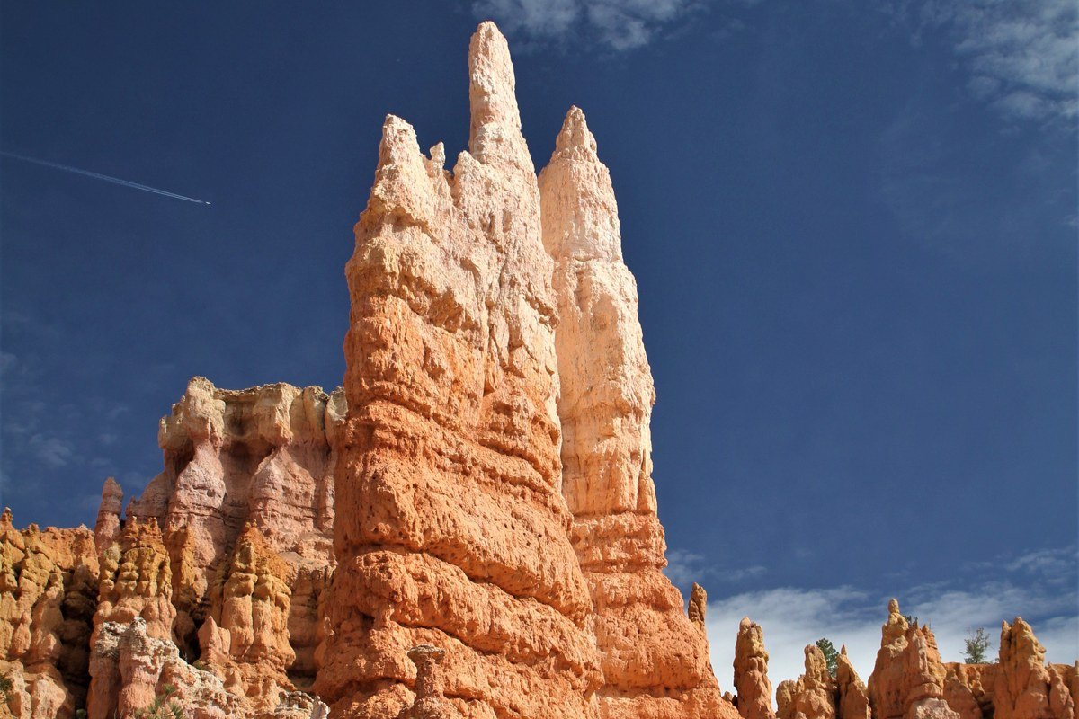
This is the park’s signature overlook, and it earns the crowds. The amphitheater of hoodoos below Sunset Point is denser and more orange than anywhere else in the park, and the paved rim trail connecting it to Sunrise Point takes under 30 minutes round trip. Bryce sits at 8,000 feet, so if you’re visiting in winter (the park stays open year round, unlike some high-elevation roads nearby), expect snow dusting the spires.
Entrance to Bryce Canyon National Park requires a park pass; check current fees before you arrive, as they’re adjusted periodically.
Bryce Point, Utah
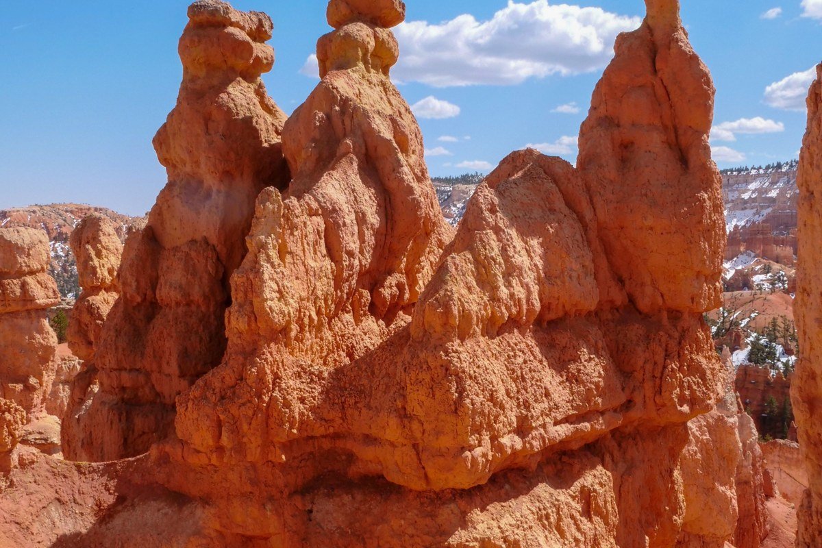
Bryce Point gets a fraction of the foot traffic that Sunset and Sunrise Points do because it requires a short spur road, but the view is arguably the best in the park: a wide-angle sweep over the entire amphitheater. Sunrise here is the move. The shuttle runs in summer and parking fills by mid-morning in peak season, so this is one spot where arriving before 7 a.m. actually changes your experience rather than just avoiding a crowd.
Pair it with: Sunset Point, about a 10-minute drive along the park road.
The Escalante canyon country
The Boynton Overlook, Utah
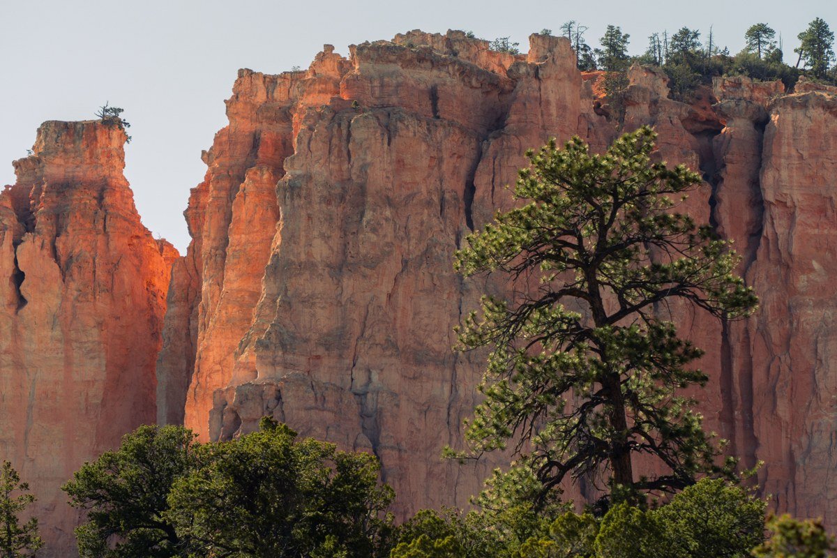
Once you’re east of Escalante town on Highway 12, the road starts tracing the edge of canyons cut by the Escalante River, and this pullout is the first big reveal. You’re looking into Grand Staircase-Escalante National Monument, a half-million-acre expanse with almost none of the infrastructure of a national park: no shuttle, minimal signage, and trailheads that are just a wide spot in the gravel. This overlook is the easy version of that landscape, viewed from asphalt.
Pair it with: Kodachrome Basin, a roughly 30-minute drive south off Highway 12 via Cottonwood Canyon Road or the Skutumpah Road connector (both are dirt and should be dry before you attempt them).
Kodachrome Basin State Park, Utah
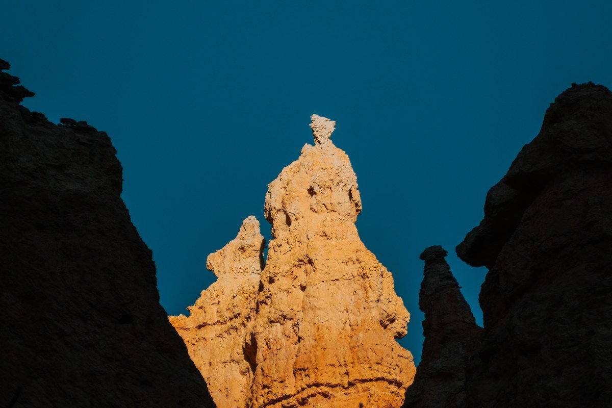
According to park literature, the basin was named in the 1940s for its saturated color, after an early National Geographic survey of the area. From the entrance road it just looks like more red rock, which is why people call it skippable if they don’t get out of the car. The payoff is the sand pipes, strange rock chimneys scattered through the park, best seen on the Panorama Trail, a 3-mile loop that’s flat enough for most fitness levels. Day-use entry runs $10 per vehicle, and the campground rarely fills even in peak season, which makes it a good overflow option when Bryce’s campgrounds are booked.
Pair it with: the Boynton Overlook, back north toward the main highway.
Hell’s Backbone Road, Utah
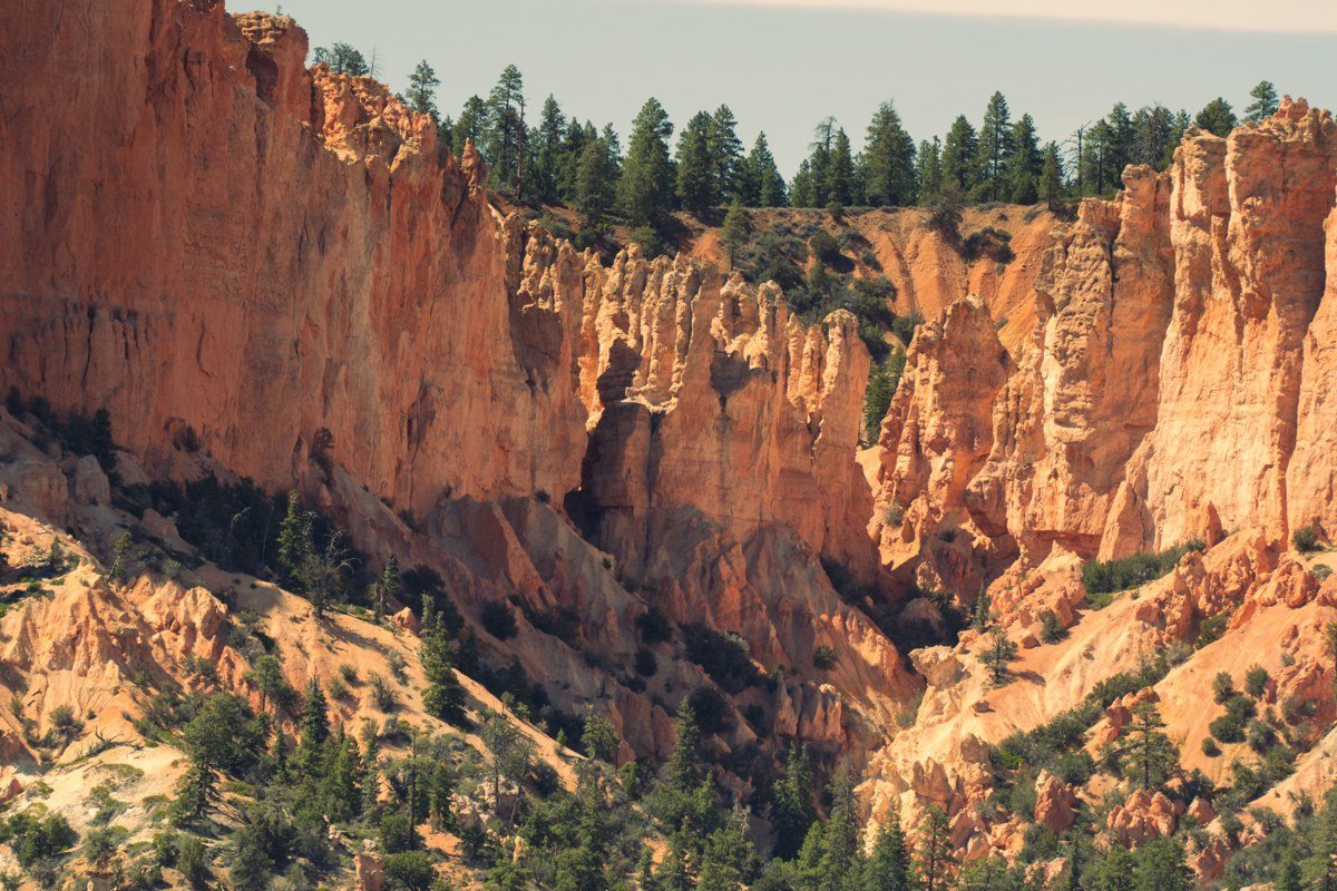
This isn’t a pullout so much as a detour for people who want the real backcountry version of this drive. Hell’s Backbone Road connects Escalante and Boulder along a narrow ridge with a one-lane bridge and drop-offs on both sides. According to local and Forest Service accounts, the route traces an old mail road built by Depression-era work crews in the 1930s. It’s unpaved, closes with the first real snow, and shouldn’t be attempted after rain. If conditions are good, it’s one of the most dramatic 45 minutes of driving in the state; if you’re towing anything or driving low-clearance, skip it and stay on the paved highway instead.
Pair it with: the Hogback section of Highway 12, which parallels it on the paved route.
The Hogback and Boulder Mountain
The Hogback, Utah
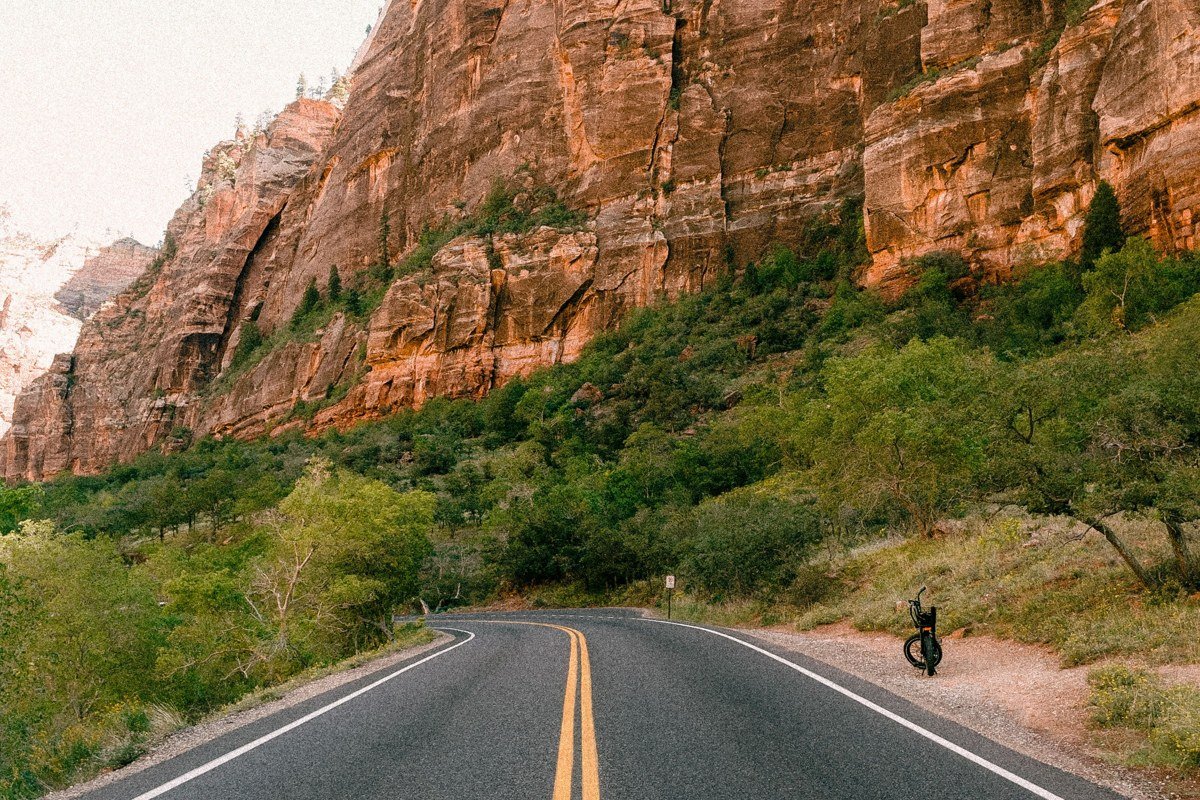
This is the section of Byway 12 that shows up in every “scariest roads in America” roundup, and for once the reputation is earned, in a good way. The Hogback is a mile-plus stretch where the two-lane highway rides a narrow ridge with canyons falling away on either side, no guardrail for most of it. There are a couple of small pullouts right at the ridge’s high point; use them rather than slowing down mid-lane, because this road does carry steady traffic in summer and fall.
Pair it with: Hell’s Backbone Road, the unpaved shortcut that runs below and parallel to it.
Boulder Mountain Overlook, Utah
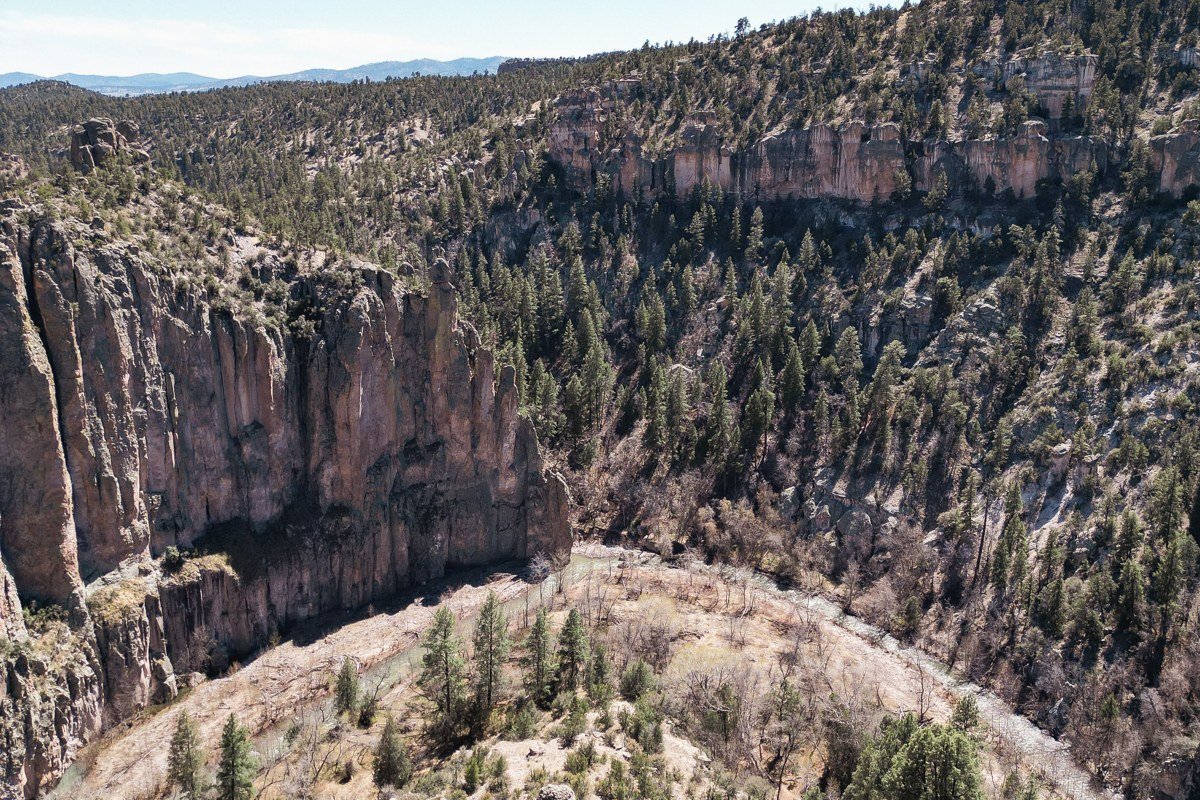
South of Boulder town, Highway 12 climbs onto Boulder Mountain itself, topping out above 9,000 feet, a sharp contrast after miles of red desert. This overlook, a few miles up from the Boulder side, looks back down over the Escalante canyons and the Henry Mountains in the distance, and in late September through early October the aspen groves along this stretch turn gold. This is also the section most likely to see early snow, sometimes closing or slowing travel by late October, so check the forecast before you climb if you’re driving in shoulder season.
Capitol Reef Scenic Drive and the Fruita orchards, Utah
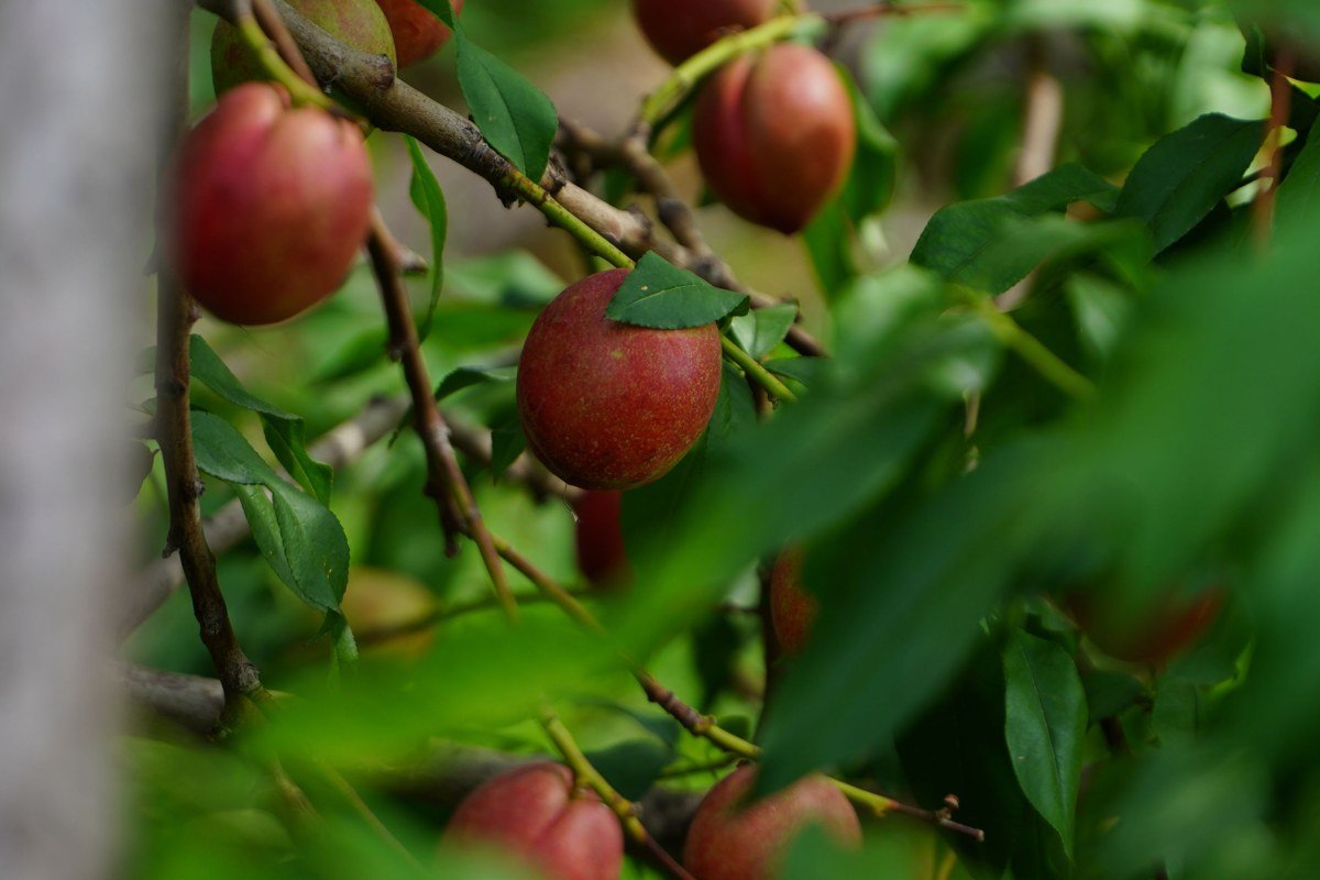
Where Highway 12 meets Highway 24, you’re minutes from Capitol Reef National Park’s historic Fruita district, a genuine oasis planted by Mormon pioneers along the Fremont River. The orchards are still maintained by the park service, and in season you can pick fruit for $3 to $5 per pound depending on the variety, paid at a self-service station near the orchard, no reservation needed. Capitol Reef gets far less traffic than Zion or Bryce despite being just as striking, partly because it doesn’t sit as directly on the shortest route between Las Vegas, Nevada and the other parks.
If you only have time for one cluster, the Escalante canyon country rewards the most patience and avoids the thickest crowds. The five parks on a typical Utah itinerary span roughly 300 miles tip to tail, and Highway 12 covers the toughest-to-love middle section. Spring (April through early June) and fall (September through October) are the best windows for driving it; summer afternoons bring heat and monsoon storms, and the high points at Bryce and Boulder Mountain can still see snow into spring. Budget more time than the mileage suggests. This road was never meant to be driven fast.