
There’s no instrument that measures a vortex, so the only honest way to rank Sedona’s energy spots is by what you get for the effort. Some people stand at Airport Mesa and feel something shift. Others just feel their calves burning and wonder what the fuss is about. Either way, the red rock scenery around Sedona, Arizona earns the trip on its own, vortex or no vortex, so these tiers weigh both the legend and the legwork.
Sedona sits about 120 miles north of Phoenix and 30 miles south of Flagstaff, right along AZ 89A, and the drive alone tells you this isn’t ordinary desert. These tiers run from the pullouts you can hit in flip-flops to the ones that demand an early alarm and a real pair of boots.
Easy wins (a weekend, no planning)
This tier suits first-timers, families, and anyone whose Sedona trip is squeezed between a Grand Canyon run and a flight home from Phoenix. No permits, minimal walking, maximum payoff per minute invested.
Airport Mesa, Arizona
This is the vortex every Sedona brochure photographs, and it’s popular precisely because you barely have to work for it. A short, rocky scramble from the parking pullout gets you to a saddle with a 360-degree view of the whole red rock basin, Courthouse Butte and Bell Rock included. It’s also the spot that draws the most skepticism, since the energy claims here get repeated by every tour van that stops, but the view holds up regardless of what you believe about the land underneath it.
Effort: 10-minute walk, about 150 feet of elevation gain, from a small pullout off Airport Road. A Red Rock Pass is required to park here (see the planning notes at the end). Parking fills by mid-morning, so go at sunrise or plan to circle back.
Bell Rock, Arizona
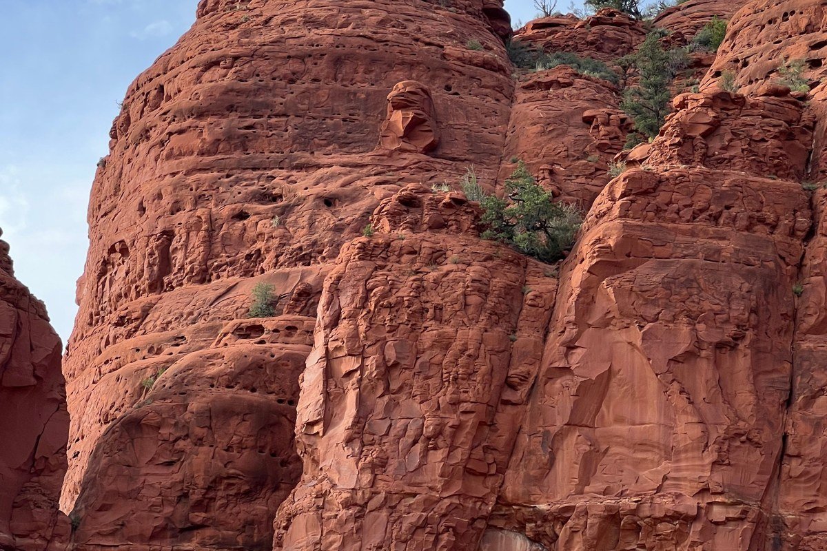
Bell Rock sits right off AZ 179, the stretch of road the Federal Highway Administration designated an All-American Road, so you see this formation before you’ve even parked. People who believe in the vortex system call this one “masculine” and energizing. The rock itself is unmistakable and climbable partway without technical skill: families do the lower loop, and the more ambitious scramble higher toward the saddle between Bell Rock and Courthouse Butte.
Effort: Paved lot with a day-use fee (a Red Rock Pass works here too), flat loop trail under a mile with negligible elevation gain. The optional scramble toward the saddle adds 30-45 minutes and around 400 feet of climbing on slickrock.
Cathedral Rock, Arizona
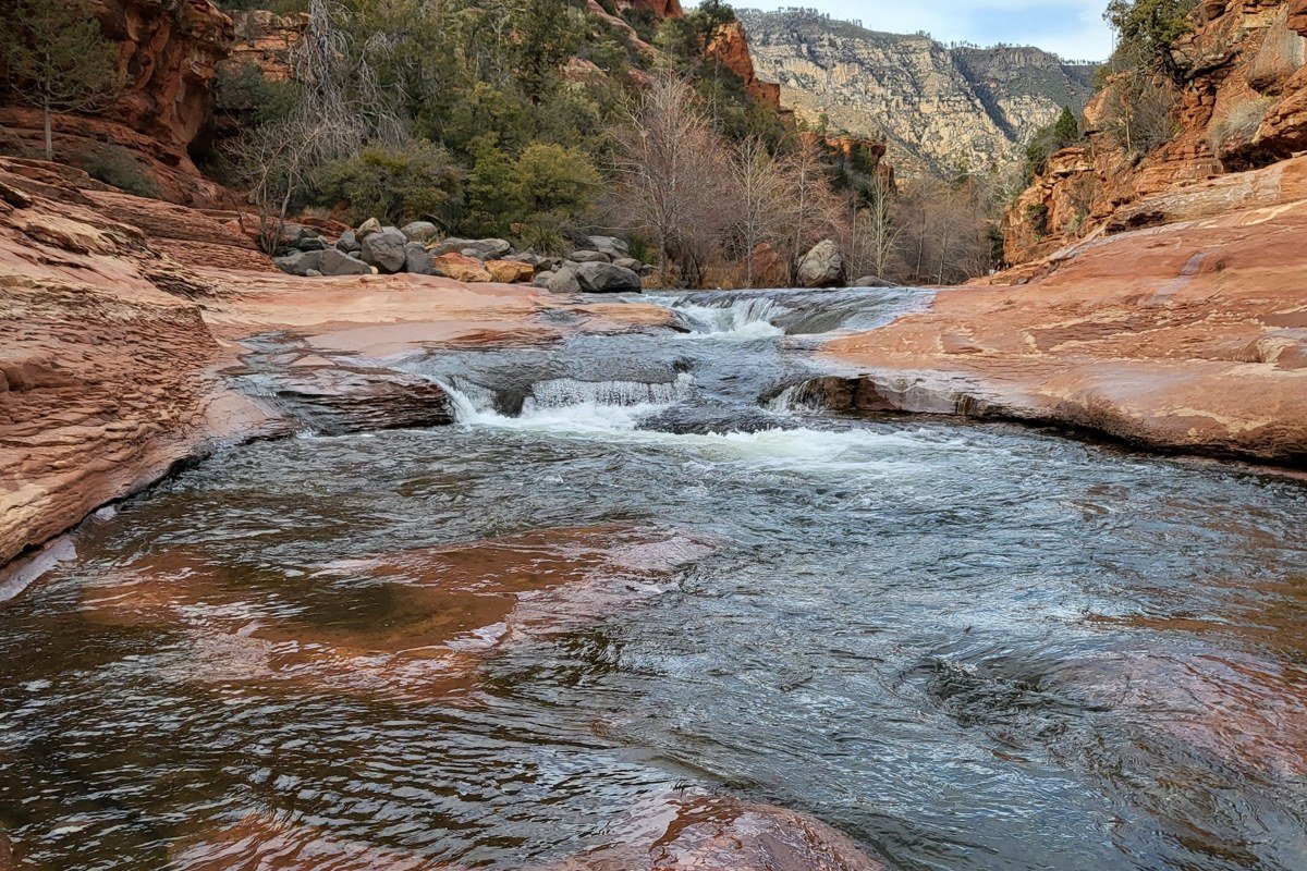
Cathedral Rock is the one that ends up on every Sedona Pinterest board, usually shot from the Crescent Moon Picnic Site with Oak Creek rippling in the foreground. The vortex is supposedly centered near the saddle partway up, reachable by a trail that climbs about 600 feet of elevation in under half a mile, much of it on exposed, slickrock-slick sandstone near the top. Most people never make the saddle and just photograph the formation from creekside, which is the smarter move if your goal is the picture rather than the climb. If you do go up, check the forecast first: this is a canyon-adjacent route, and the Coconino National Forest monsoon season (roughly July through September) brings fast-moving storms that turn slickrock into a hazard and can flood the wash below with little warning.
Effort: 15 minutes from the creek viewpoint; the saddle trail is under a mile round-trip but gains elevation fast over bare rock, around 600 feet total.
Worth the drive
These sites ask more of you, a longer drive from town, a real trailhead, maybe a Red Rock Pass, but they reward anyone who wants fewer crowds and a stronger sense of why Sedona’s scenery draws people back.
Boynton Canyon, Arizona
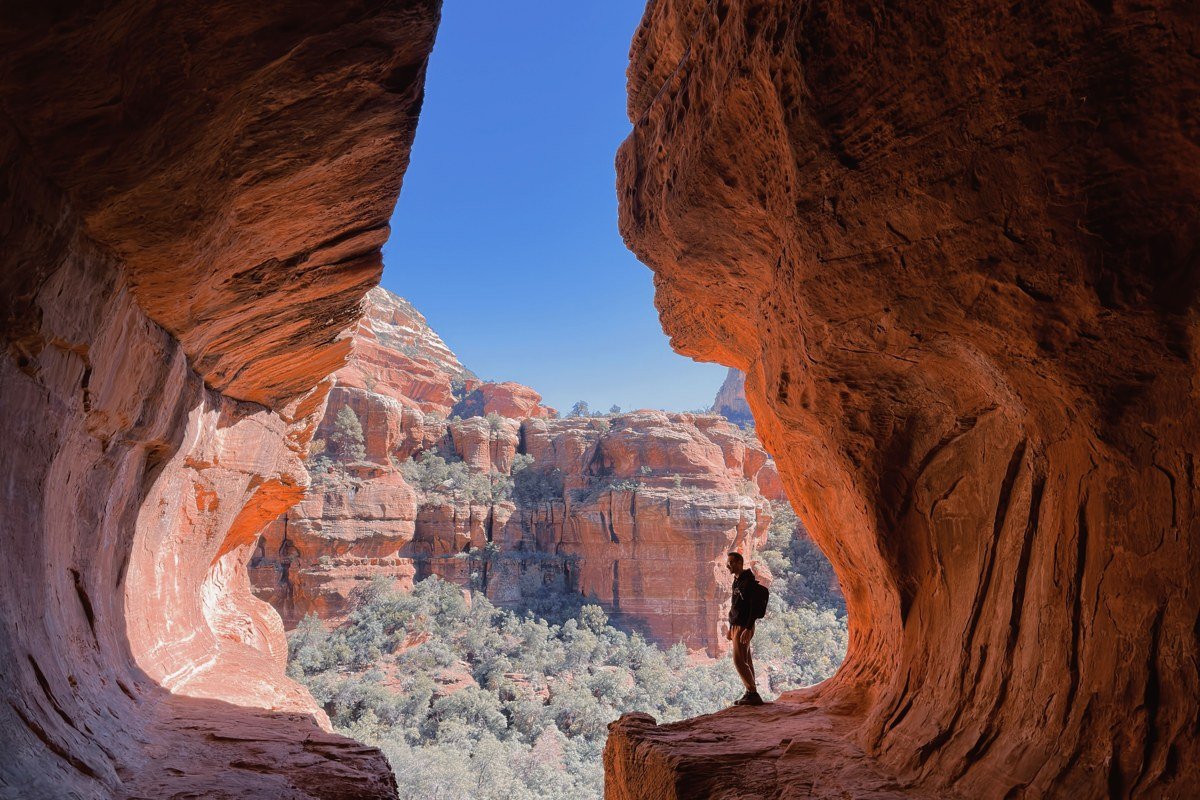
Boynton Canyon cuts deep into the west side of Sedona past a luxury resort, and it’s considered one of the stronger “balanced” vortex sites, said to blend masculine and feminine energy, whatever your read on that. The hike climbs through pine and juniper before opening to views of sheer canyon walls and the Kachina Woman rock spire, gaining roughly 500 feet over the full distance. It’s longer than the mesa-top stops, which thins the crowd noticeably past the first mile. Like Cathedral Rock, the canyon floor can flash flood during summer monsoon storms, so skip it if thunderheads are building over the rim.
Effort: About 25 minutes from uptown Sedona; trail runs roughly 6 miles round-trip with about 500 feet of elevation gain if you go the full distance, shorter and flatter if you turn back at the canyon narrows. A Red Rock Pass is required at the trailhead.
Chapel of the Holy Cross, Arizona
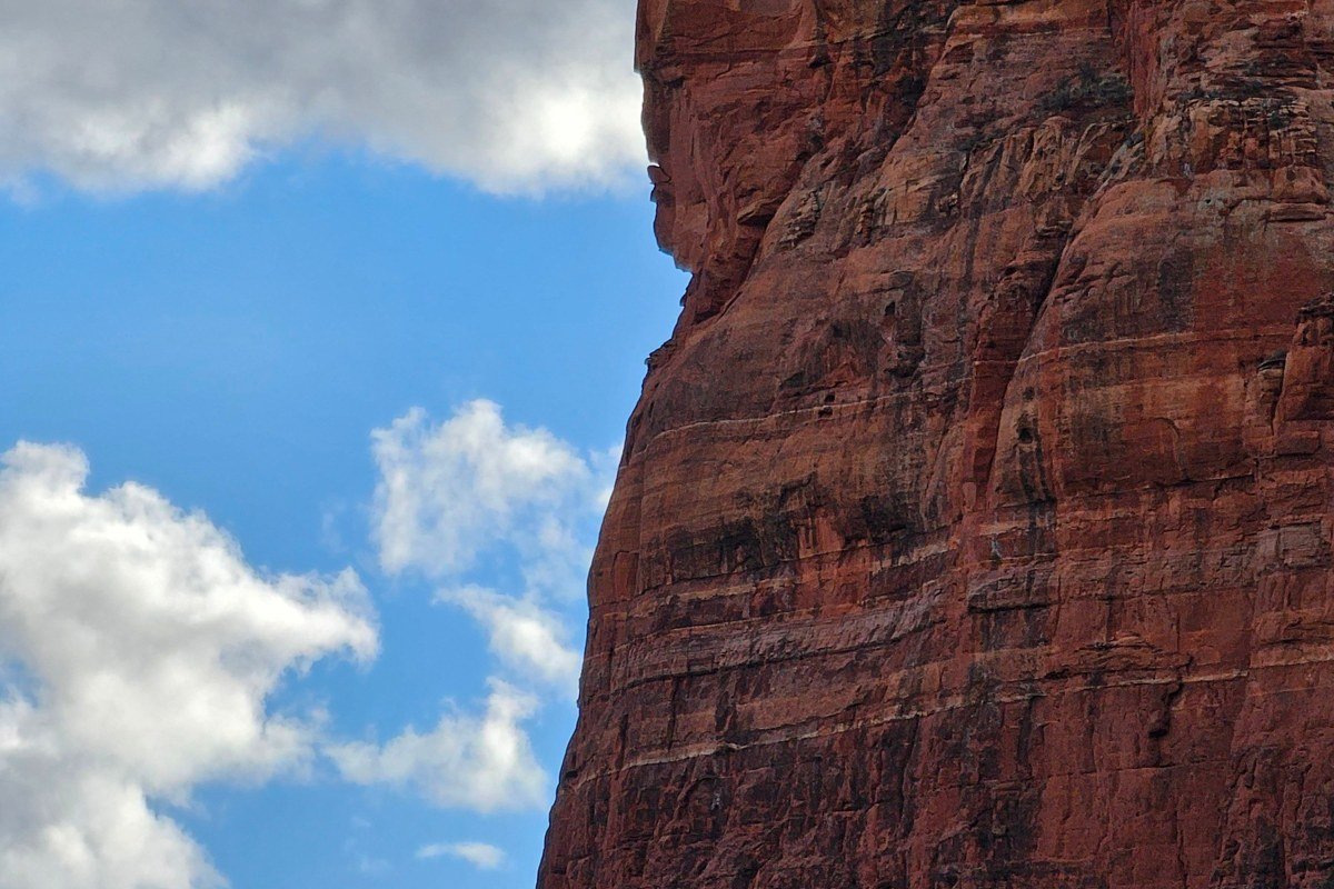
Not a vortex site by most accounts, but it belongs in this tier because people debate whether it should count as one anyway, and the chapel itself, built directly into the red rock in the 1950s, delivers a version of the same awe without any metaphysical claim attached. The views from the small plaza rival anything on the official vortex maps. It’s also one of the few stops with actual restrooms and a gift shop, which matters more than people admit after a day of trailhead scrambling.
Effort: 10 minutes from downtown, paved parking lot, wheelchair-accessible path to the chapel entrance, no Red Rock Pass needed.
Palatki Heritage Site, Arizona
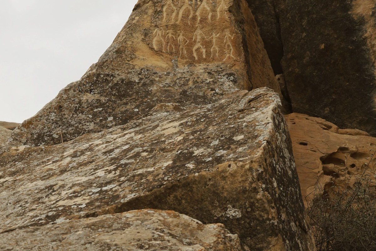
Palatki isn’t a vortex stop either, it’s a Sinagua cliff dwelling and rock art site dated roughly 1100 to 1400 CE, tucked into Coconino National Forest on forest roads west of town. I’m including it because it’s the spot that reframes everything else: this land had people living in relationship with it long before anyone used the word “vortex,” and the pictographs and petroglyphs make that concrete in a way red rock views alone don’t. Reservations are required, not just recommended: book by phone through the Red Rock Ranger District (928-282-3854) or online through Recreation.gov, and expect a small per-person entrance fee in addition to a Red Rock Pass or day-use fee for the forest road access. The access roads are unpaved and rough enough that low-clearance cars should go slow.
Effort: About 40 minutes from town via forest roads; reserve ahead, open mornings only, three short interpretive trails with minimal elevation change once you’re there.
Earn it (long haul, big payoff)
This tier is for repeat visitors, serious hikers, and anyone who wants Sedona scenery without another soul in the frame. Expect real mileage, real elevation, and in one case, a genuine debate about whether it’s worth the reputation it has.
Schnebly Hill Vista, Arizona
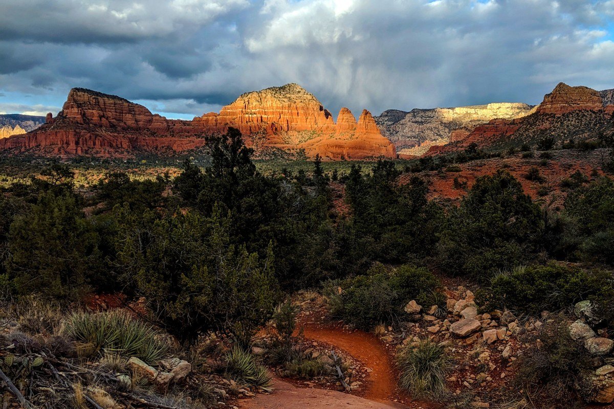
Schnebly Hill Road is the unpaved route that climbs out of Sedona toward I-17, and the overlook partway up delivers one of the best canyon views in the area precisely because so few people bother to get there. High-clearance vehicles handle the washboard and rock sections fine; standard rental sedans will bottom out, which keeps the crowds thin. Pink Jeep Tours and other local off-road outfitters run this road regularly and rate the first overlook as accessible to most high-clearance SUVs without 4WD, though the road gets rougher past that point. No hiking is required to reach the main view, which is part of why it gets overlooked by people chasing trailheads instead.
Effort: 20 minutes of rough dirt road from downtown; high-clearance vehicle strongly recommended, no hiking and no real elevation gain once you’re parked at the overlook. A Red Rock Pass is not required on the road itself, but check posted signage at pullouts.
Devil’s Bridge, Arizona
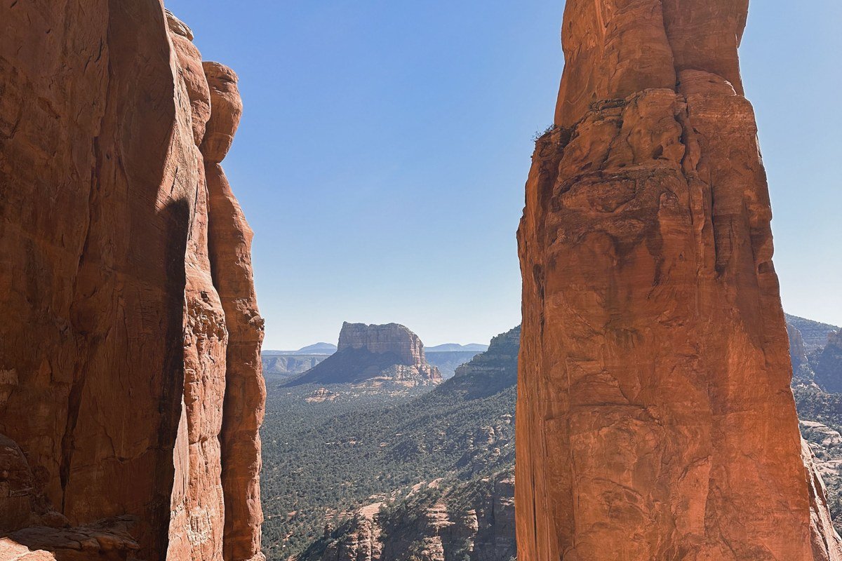
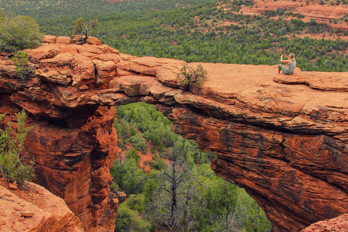
Devil’s Bridge isn’t officially on the vortex list, but it’s become the trail everyone argues about on Sedona hiking forums and AllTrails reviews, overrated by some because of the crowds and parking chaos, essential by others because it’s the largest natural sandstone arch in the Sedona area. The trailhead for the most common approach is Chuckwagon Trailhead on Long Canyon Road (Dry Creek Road area), roughly 34.912, -111.850, which connects to Chuckwagon Trail and then Devil’s Bridge Trail for the final climb. The trailhead parking lot is small and fills before 8 AM most of the year, pushing most visitors onto this longer approach instead of the rougher direct 4WD road (Forest Road 152) that dead-ends closer to the arch. The final stretch gains about 400 feet over loose rock. Go at sunrise or skip the arch crossing entirely and photograph it from below, which is calmer and still delivers.
Effort: 4.2 miles round-trip via Chuckwagon Trail, about 400 feet of elevation gain concentrated in the last half-mile. A Red Rock Pass is required at the trailhead. Arrive before sunrise or plan on a long wait for the arch photo.
How you move up a tier next trip comes down to timing and gear more than ambition. The best time to visit Sedona for comfortable hiking is spring (March through May) or fall (September through November), when daytime highs sit in the 70s and 80s instead of the triple digits that make June through August miserable, July usually logging the hottest stretch of the year. If you’re hiking canyon trails like Boynton or Cathedral Rock during monsoon season (July through September), check the forecast that morning and turn back at the first sign of a building storm. A Red Rock Pass costs 5 dollars for a day, 15 dollars for a week, or 20 dollars for an annual pass, and you can buy one from the self-serve machines at most trailhead parking lots or in person at the Red Rock Ranger District Visitor Center on Highway 179. Rent something with real clearance if Schnebly Hill or the Palatki access roads are on your list, and start earlier than feels necessary. The vortex you believe in or don’t is almost beside the point by the time you’re standing above that much red rock.