The single best spot is the lower boardwalk loop of the Hall of Mosses, right where the maples arch over the trail and their mossy limbs vanish into fog before you ever see a treetop. It beats the rest of Olympic National Park, Washington, because it pairs the shortest walk-in of any old-growth grove in the park with some of the thickest moss cover on the peninsula. Everything else on this list is a variation on that same trick, found at different elevations, different drive times, and different levels of solitude.
Olympic National Park sits on the Olympic Peninsula in Washington state, a few hours from Seattle by car and ferry. Fog here isn’t weather you wait out, it’s the main event, especially in the Hoh Rain Forest where moisture rolling off the Pacific gets trapped by the Olympic Mountains and settles into the valley floor most mornings. These nine spots are where that fog does the most visual work, ranked from good to best.
9. Hoh River Trail, First Mile, Washington
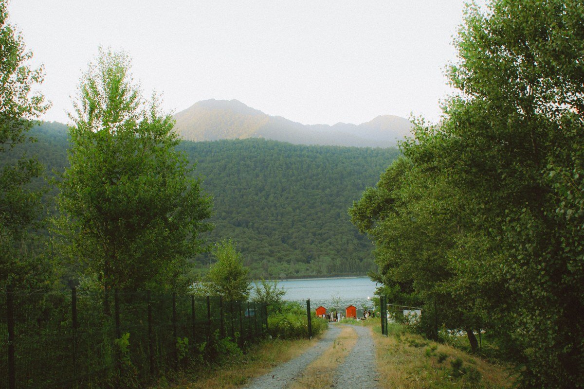
By 7 am the first mile out of the Hoh Rain Forest Visitor Center is still quiet, just the sound of the river somewhere off to the right and spruce trunks fading to gray a few dozen yards ahead. This stretch runs flatter and wider than people expect, and it fogs in almost as often as the Hall of Mosses itself. The trailhead parking lot holds roughly 45 cars and is the same lot used for the visitor center, so arriving at opening solves two problems at once. By mid-morning in summer this section fills with day-hikers headed to Five Mile Island, and the river view, while pretty, doesn’t have the moss-curtain drama you came for. Treat it as a warm-up, not the main event.
8. Maple Glade Trail, Quinault Rain Forest, Washington
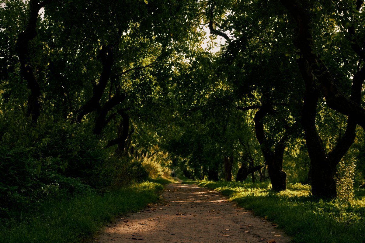
This half-mile loop on the south shore of Lake Quinault gets overlooked because it sits roughly 90 minutes south of the Hoh entrance, on a different access road entirely (Quinault, not Upper Hoh Road). The maples here carry noticeably heavier moss loads than most of the park, and fog pools in this low valley on cool mornings even in July. The loop starts right behind the ranger station, no fee required for day use, and the canopy closes overhead within the first hundred yards. The trade-off is logistics: if you’re already committed to a Hoh-based day, backtracking to Quinault eats half a day you probably don’t have.
7. Sol Duc Valley Old-Growth Loop, Washington
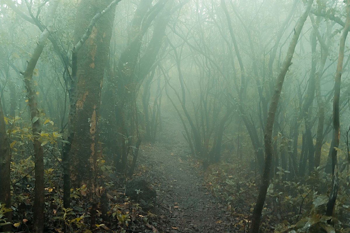
Sol Duc sits on its own spur road off US-101, closer to Port Angeles than to the Hoh, and the old-growth stand just past the trailhead parking lot (which holds about 50 vehicles and empties out by early afternoon) does a convincing impression of the Hall of Mosses without the crowds. Fog collects here in valley pockets, especially right before the trail climbs toward Sol Duc Falls, a 1.6-mile round trip from the lot. The short loop near the resort is worth doing first, where hemlocks disappear into low cloud on humid mornings. Sol Duc’s moss is noticeably sparser than the Hoh’s, though, so if moss is the whole point, this is a secondary stop, not a destination.
6. Hall of Mosses, Upper Loop, Washington
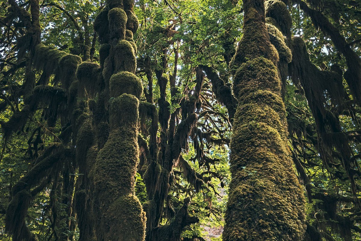
Locals sometimes call this stretch “the ceiling” because on a thick morning you genuinely cannot find where the canopy ends. The upper loop climbs slightly higher than the lower section and opens into a grove of enormous bigleaf maples whose upper limbs are hard to see even standing right beneath them. Do the quarter-mile loop clockwise so you hit this section while the fog is still dense, usually before 9 am. It’s a heavily photographed stretch of trail, so expect other tripods, not solitude.
5. Hoh River Trail, Five Mile Island, Washington
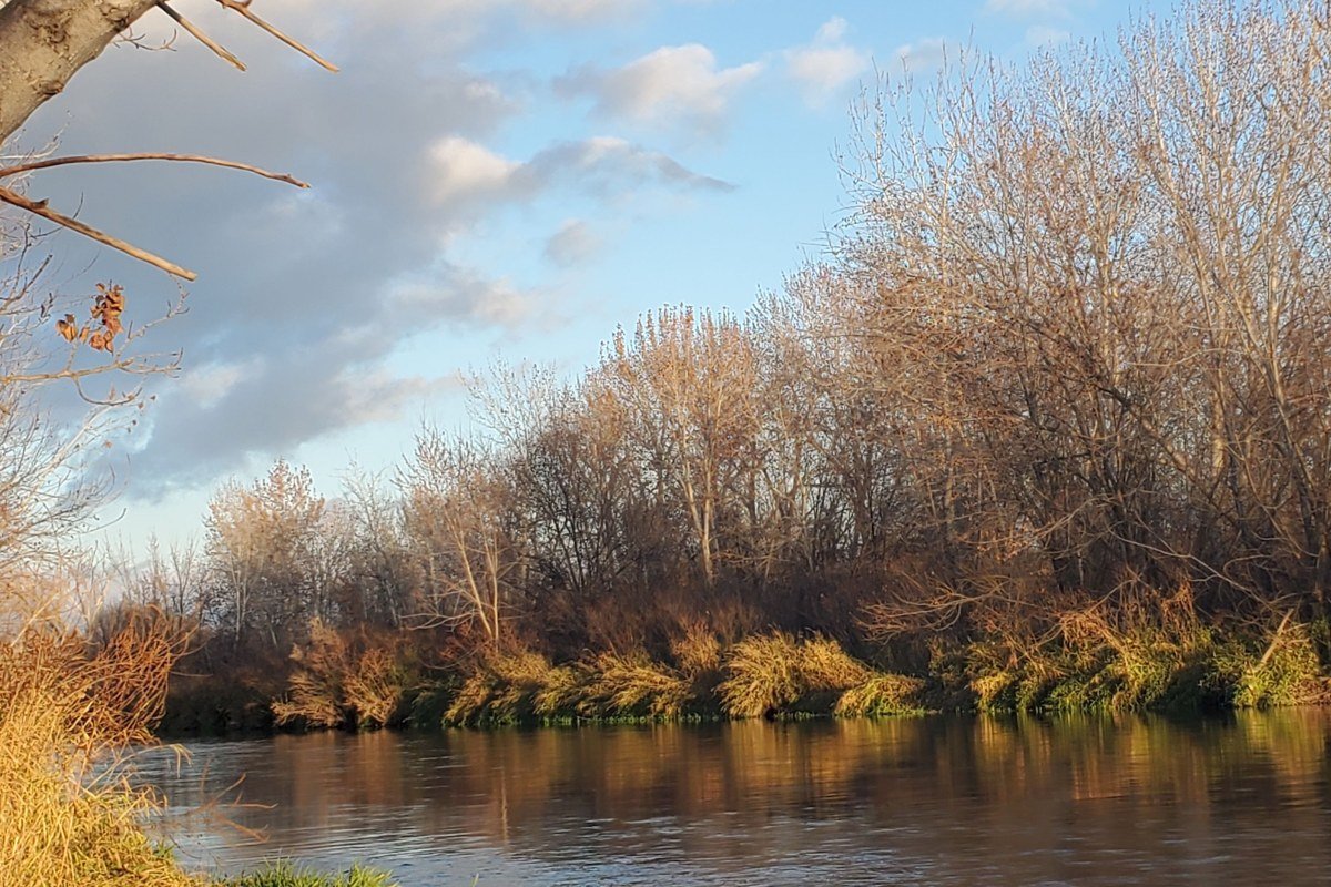
Five miles in, the Hoh River Trail opens into a gravel bar with wide valley views, and on foggy mornings the surrounding ridgelines disappear entirely, leaving just river, gravel, and trees fading to white. Time your hike so you arrive as the morning fog is lifting; the shift from socked-in to partially visible happens fast and makes for the best sequence of shots. This is a ten-mile round trip with no shortcut back, which rules it out for anyone without a half day to spare or hiking with small kids.
4. Hurricane Ridge, Washington
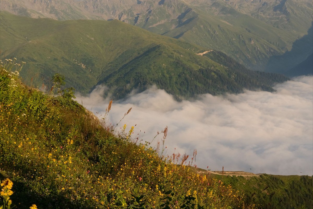
Hurricane Ridge is 19 miles up a steep, winding road from Port Angeles, and it’s the one entry on this list that isn’t rain forest at all; it’s subalpine meadow and mountain views over 5,000 feet up. On the right morning, valley fog pools below the ridge while the peaks stay clear, the inverse of the Hall of Mosses effect: instead of trees vanishing upward, whole valleys vanish downward. The road is seasonal at the upper reaches and can close for weather without much notice between November and April, and chains or traction tires are often required in winter, so check conditions before you commit the morning. It’s worth the detour for the contrast, but it’s a half-day trip on its own, not something you tack onto a Hoh visit in the same morning.
3. Kalaloch Beach Driftwood Grove, Washington
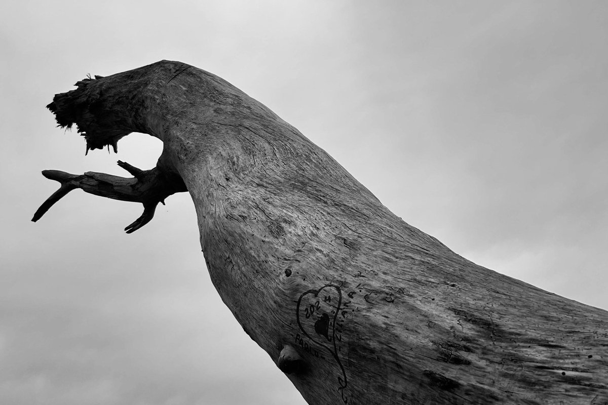
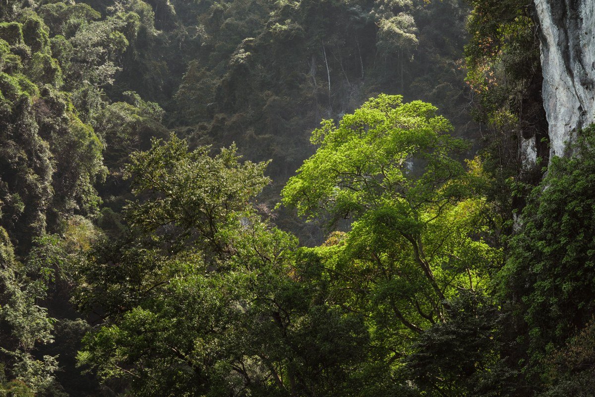
Kalaloch sits right on US-101 along the coast, no entrance fee checked at this access point, and it pairs ocean fog with a stand of wind-bent spruce that gets swallowed in mist most mornings between late fall and early spring. Locals refer to the pullout near the lodge as “the stump field,” for the bleached driftwood piled above the tideline. The thing to actually do is walk the short bluff trail above the beach at low tide, when fog rolling off the water meets the treeline and blurs the horizon completely. It’s a different texture than the Hoh: salt fog instead of rain forest humidity, but the visual payoff is comparable. Clear afternoons here can turn windy and cold fast, so layer up even in summer.
2. Hoh Rain Forest Visitor Center Approach Road, Washington
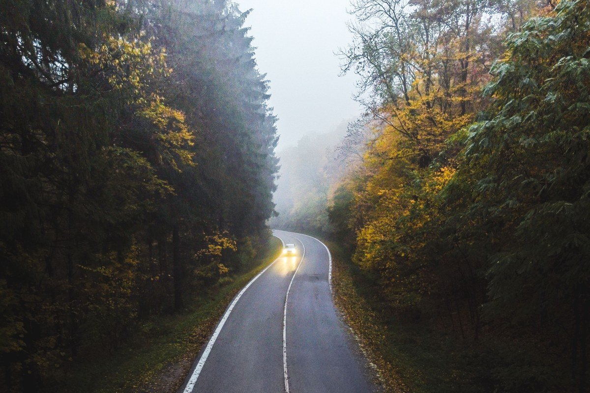
The last few miles of Upper Hoh Road, before you reach the visitor center, run beneath a canopy so dense that fog gets trapped between the road and the treetops even on days when the grove itself has partly cleared. There’s a bend around mile marker 17 where the trees close in from both sides and the fog pools thickest, worth slowing down for even if you can’t pull over. Roll the windows down and drive slow. This isn’t a hike, it’s the approach, but it’s often the most reliably foggy stretch of the entire day, especially before 8 am. The visitor center lot holds a few dozen cars and fills by mid-morning in July and August, so arriving early does double duty: good light and a guaranteed space.
1. Hall of Mosses, Lower Loop, Washington
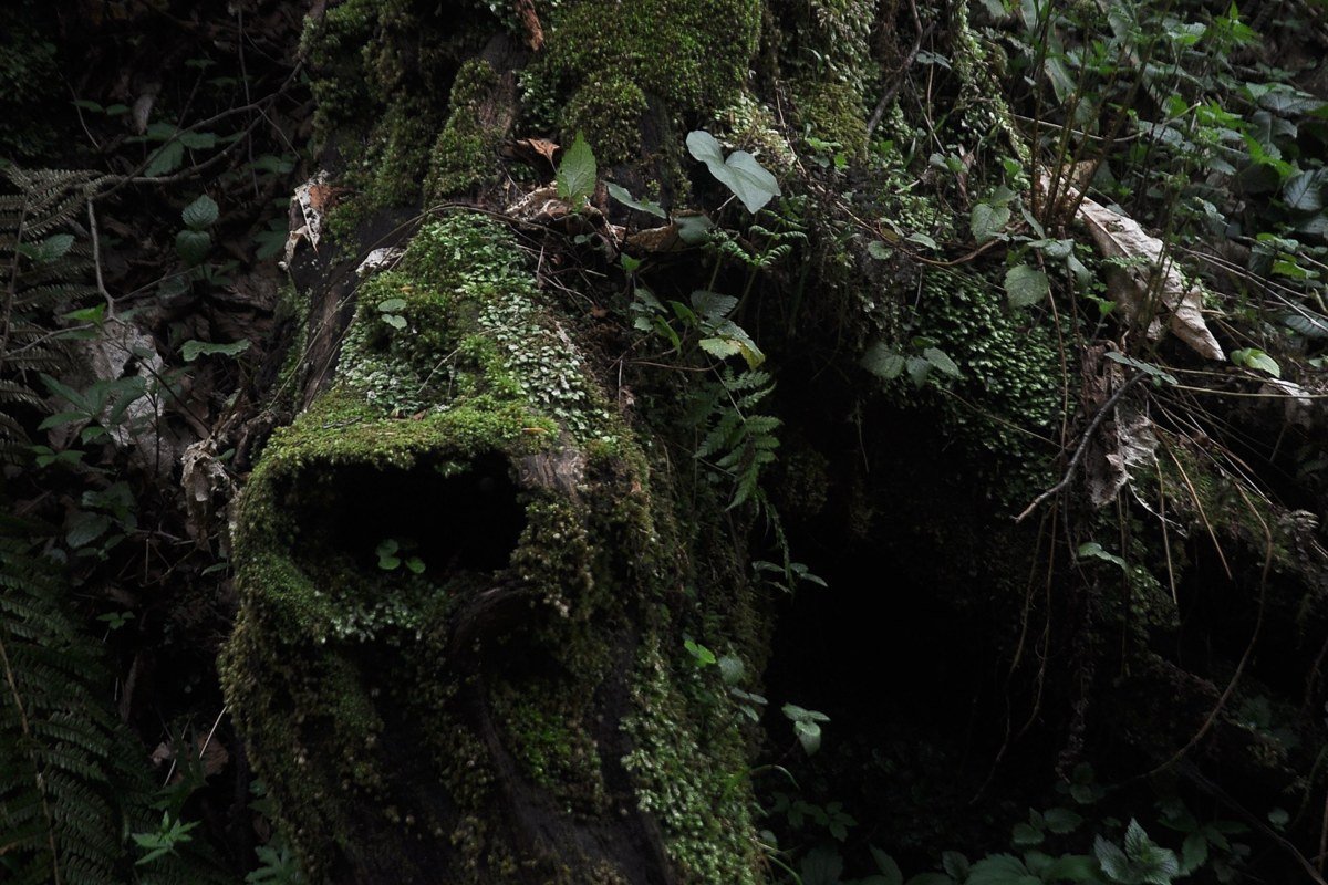
The lower loop is the short, famous stretch most people picture when they picture Olympic National Park: bigleaf maples draped in club moss, their upper branches fading into fog so completely that the trees appear to have no tops at all. Arrive at the visitor center at opening, walk straight to this loop before the upper section, and shoot early while moisture is still hanging in the canopy rather than burning off. It’s a flat, easy three-quarter-mile walk, so there’s no physical barrier to seeing it, which is also the catch: by late morning in peak season it’s shoulder to shoulder with visitors doing the same thing.
How I’d pick: a first-timer with one day should go straight to the Hall of Mosses lower loop and budget the whole morning around arriving early. A family with kids is better served by Kalaloch, where the payoff doesn’t require a long hike. A couple chasing a specific photograph should combine the Hoh approach road with the upper loop, both on the same foggy morning, since conditions rarely hold past midday. On the season question: fog in the Hoh is most consistent from fall through spring, when moisture is heavier and mornings stay socked in longer. July and August are the driest and most reliably clear months, which makes them the easiest months to visit but the least likely to deliver the fog this list is built around. If seeing the trees disappear into cloud is the actual goal, come between October and April and plan around an early start, not a summer vacation schedule.