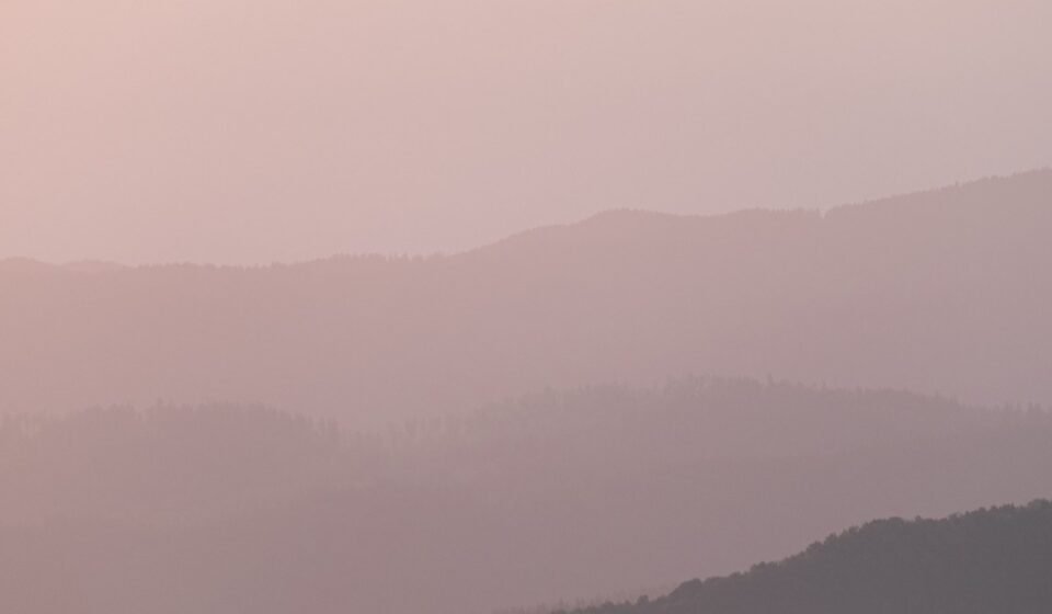

Stand on Clingmans Dome at 7 a.m. in October and the ridgeline is already gold, done with morning. Drop 2,000 feet into Cades Cove at that same moment and you’re still driving through soup, wipers on, headlights useless against a wall of white. That gap, sometimes ninety minutes wide, is the whole trick of a Smoky Mountains sunrise. The peaks clear first. The valleys hold the fog like it’s theirs to keep.
It happens because cool, dense air sinks into the coves overnight and pools there, trapped by the ridgelines above it, while the sun burns off the thinner air on the summits almost immediately. The Cherokee name for these mountains, Shaconage, means “place of the blue smoke,” and that blue haze is the same moisture doing this at every scale, all year. Fall and late spring produce the thickest, most photogenic pools, but any humid morning after a cool night is a candidate.
This is for the people who plan a whole trip around one photograph, who set an alarm for 5 a.m. on vacation without complaint, and who want to know exactly which overlook, which pull-off, which gravel lot, not just “go to the mountains and see.”
One more thing before you go: as of 2024, every vehicle parked anywhere inside Great Smoky Mountains National Park for longer than 15 minutes needs a parking tag, $5 for a day, $15 for a week, $40 for the year, sold at visitor centers and via self-pay stations at major lots. Bring cash or a card and buy it before you’re standing at an overlook at 6 a.m. fumbling with an app that has no signal.
The Cades Cove basin
Cades Cove Loop Road, Tennessee
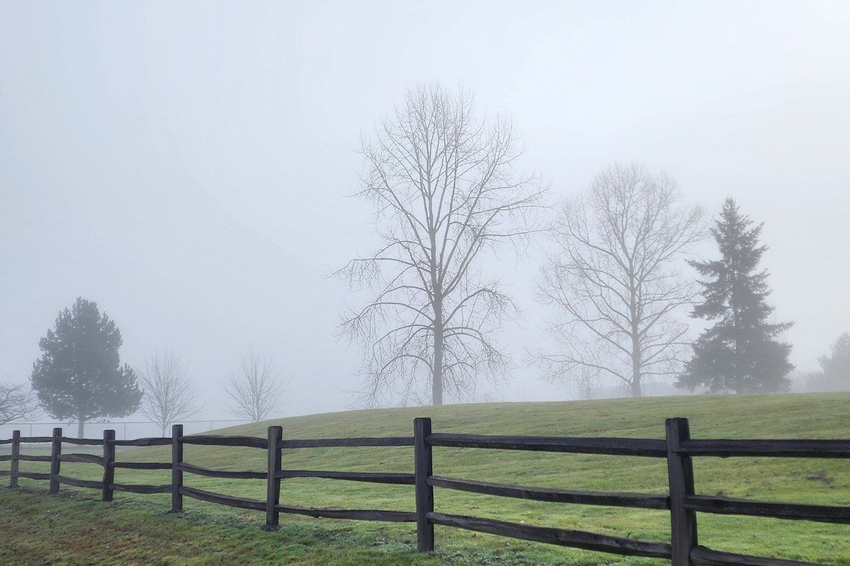
This eleven-mile one-way loop is the most reliable Smoky Mountains sunrise location for beginners, because you don’t need a hike, just a car and patience. The gate opens at sunrise year-round in theory, which in practice means arriving before a ranger actually unlocks it, so check nps.gov for the current opening time rather than guessing. I got there at 6:40 a.m. on a Thursday in late September 2023 expecting to be alone and still waited twelve minutes in a line of five cars. Fog sits thickest in the low pastures near the Primitive Baptist Church and around the second and third overlooks, where cattle used to graze and cold air still collects the same way.
Parking is the real obstacle. By 8 a.m. on any weekend from May through October, the loop backs up into a slow crawl, so sunrise arrival isn’t just for the light, it’s the only way to have the road to yourself. Bicycles are allowed before vehicle traffic starts on Wednesday mornings in season, worth building a whole trip around if you can.
Pair it with: Foothills Parkway West, about a 30-minute drive, for the overlook view down onto the same fog bank from above.
Foothills Parkway West, Tennessee

This is the “skypark” people mean when they search for it, even without knowing the name. The stretch between Walland and Chilhowee, Tennessee gives you pull-offs perched high enough that you’re looking down onto a fog layer instead of standing inside one, successive ridgelines poking through like islands. Look Rock Tower, an old fire-lookout deck near mile marker 6.2, is the best perch on the whole road. I’ve had it to myself twice in three visits, including one October morning where the only other person was a ranger doing a drive-through check.
There’s no fee and no permit for the parkway itself, but sections do close seasonally for ice and slides, most recently parts of the road through the winter of 2023 into spring 2024, so check nps.gov before a cold-weather trip rather than assuming it’s open. Bring a jacket regardless of season; wind up here is sharper than the valley floor suggests.
Pair it with: Cades Cove Loop Road, roughly 30 minutes away, to see the same fog from inside it after watching it from above.
The Newfound Gap corridor
Newfound Gap Overlook, Tennessee/North Carolina
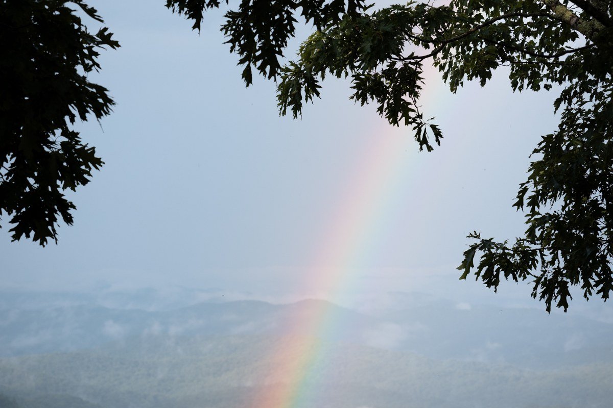
At 5,046 feet, Newfound Gap sits directly on the state line and is the most-cited sunrise point in the park for a reason: it’s paved, it has real parking, and it needs zero hiking to reach. The road up from Gatlinburg is drivable in the dark without technical difficulty, which is why most people chasing a specific sunrise time end up standing here. That time shifts by nearly two hours across the year, so check it the night before rather than trusting a generic 6 a.m. guess.
The trade-off is crowds. I pulled into the lot at 6:15 a.m. on a Saturday in October 2022 and it was already three-quarters full; by the time the sky went pink there was nowhere left to stand at the wall itself. Go on a Tuesday if you can choose your day at all.
Pair it with: Clingmans Dome, about a 20-minute drive up a spur road, for a higher, wider version of the same view.
Clingmans Dome, Tennessee/North Carolina
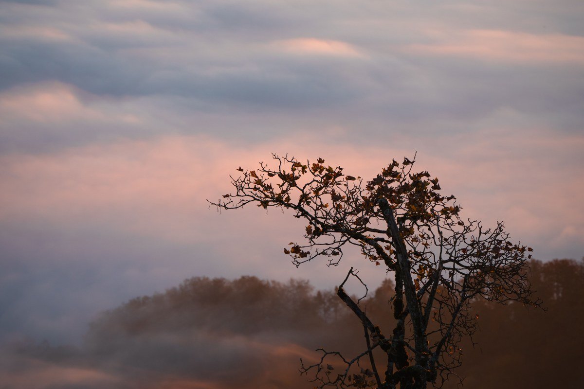
At 6,643 feet, this is the highest point in the park, and it’s frequently the one clear island above a total fog sea, the exact “peaks clear, valley doesn’t” phenomenon this whole list is chasing. The walk up to the tower is a steep half-mile paved path, doable in sneakers but genuinely breathless in the thin, cold pre-dawn air, so budget more time than the distance suggests. The access road closes seasonally, typically from December through late March depending on snow, so check nps.gov for the current reopening date before you plan around it; this one is strictly a warm-season play. Even then, summer mornings can arrive already fogged in up top with zero visibility, which is the spot most people call overrated once that happens.
If the tower is socked in, don’t wait it out. Drop back toward Newfound Gap instead; the cloud base often sits right around the dome’s elevation and clears below it.
Pair it with: Newfound Gap Overlook, about 20 minutes back down, as your backup if the summit is fogged in rather than fog-topped.
The Cataloochee and Oconaluftee valleys
Cataloochee Valley, North Carolina
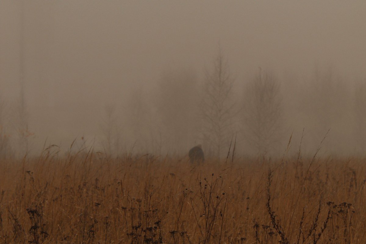
Cataloochee is the quiet answer to Cades Cove, tucked down a winding, partly gravel access road that keeps casual traffic away. Elk were reintroduced here decades ago and dawn is when they’re most active, moving through fog-filled meadows in a way that turns a sunrise photo into a wildlife photo for free. I counted eleven elk in the near meadow on a May 2023 visit, close enough to hear them before the fog thinned enough to see them clearly. The valley floor holds cold air even more stubbornly than Cades Cove because it’s narrower and more enclosed by ridges on all sides.
Cell service is essentially nonexistent, so download directions before you leave Waynesville or Maggie Valley, the nearest towns with gas and coffee. This is also one of the few places on this list where a cabin rental nearby, rather than a long pre-dawn drive, genuinely changes the experience; the access road is rough enough that you don’t want to do it twice in one morning.
Pair it with: Oconaluftee Valley, about a 45-minute drive, for a paved, easier version of the same elk-and-fog combination.
Oconaluftee Valley, North Carolina
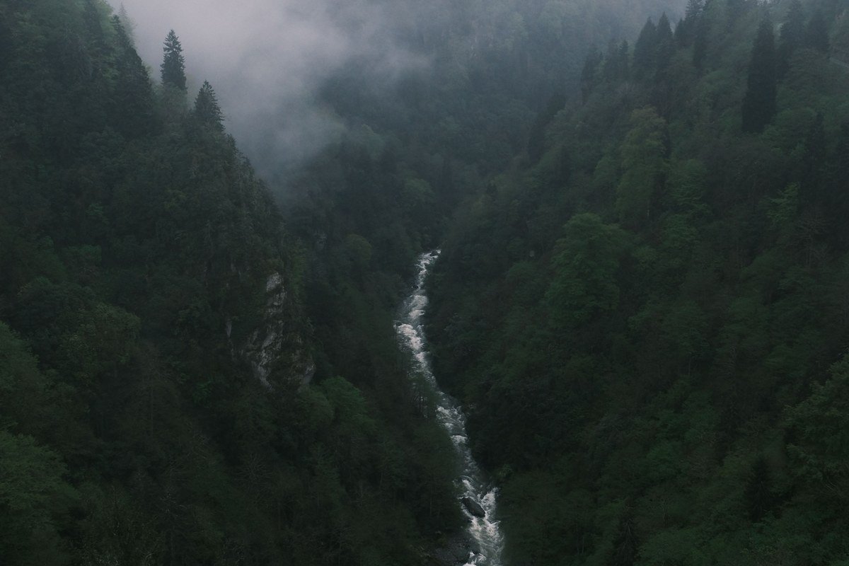
Just outside Cherokee at the park’s southern entrance, this valley pairs a shallow, wide river with open farmland, so fog here tends to move rather than sit, drifting in slow sheets across the grass as the light comes up. It’s the most accessible option on this list if you count the short, flat riverside walk near the visitor center: you can drive right to the trailhead and be shooting within minutes. Parking at the visitor center is generous compared to anywhere inside the Tennessee side of the park.
It’s also a good fallback on mornings when Newfound Gap is clouded over entirely, since the lower elevation here sometimes clears while the gap stays socked in.
Pair it with: Cataloochee Valley, about 45 minutes north, if you have a whole morning and want both.
The Gatlinburg gateway
The Sinks and Little River Road, Tennessee
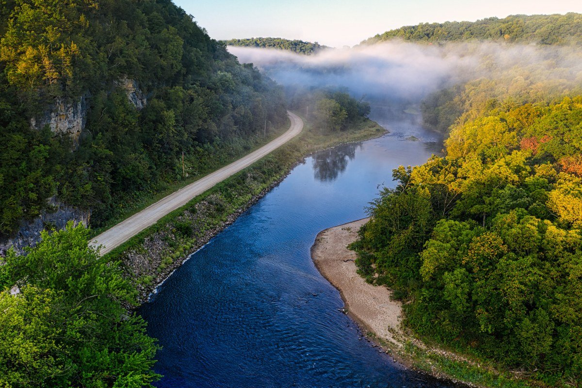
Little River Road, running between Sugarlands Visitor Center and Cades Cove, parallels the river closely enough that mist rises directly off the moving water at dawn, distinct from the still, thick pooling fog elsewhere on this list. The Sinks, a waterfall and swimming hole around mile marker 12, has a small pull-off lot that fills fast but turns over quickly since most people just stop for photos. This is less about a single overlook and more about the drive itself, windows down, in the twenty or so minutes after sunrise when light breaks through the tree canopy in shafts across the steam. I’ve driven it at 6:50 a.m. in early June and had three cars pass me the entire way, all headed the same direction, all slowing down at the same bend.
It’s also the drive most people are already doing to reach Cades Cove, so treat it as the appetizer, not a separate trip.
Pair it with: Cades Cove Loop Road, directly at the end of this same road, roughly 20 more minutes.
Sugarlands Distilling Company porch, Gatlinburg, Tennessee
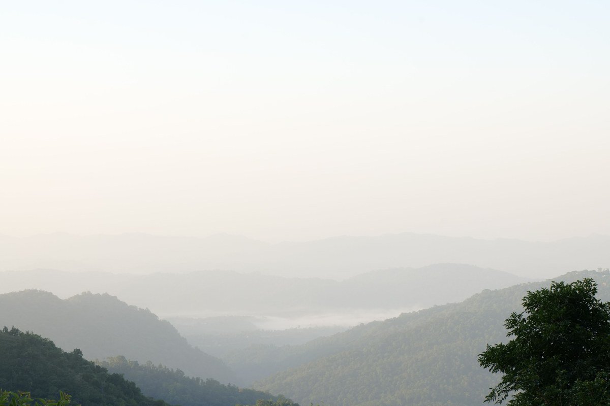
Sugarlands Distilling Company, on the parkway near the park entrance, opens for tastings at 10 a.m., too late for the fog itself, but its upper porch faces the ridgeline and still holds a thin haze most mornings well past sunrise. This isn’t a fog-chasing stop, it’s a place to land afterward: if you’ve already been up since 5 a.m. and want breakfast in town before the tasting room opens, the porch is a genuine spot to sit with coffee and watch the last of the haze burn off the hills behind downtown. Don’t build a trip around it. Treat it as a coda to Little River Road, not a destination on its own.
Pair it with: The Sinks and Little River Road, about 15 minutes away, as the actual sunrise portion of the morning.
For a long weekend, choose the Newfound Gap corridor if you only get one shot at this and want the classic view with the least logistical risk. Choose Cataloochee and Oconaluftee if you’ve done the popular side before and want elk, fewer people, and don’t mind gravel roads before coffee.