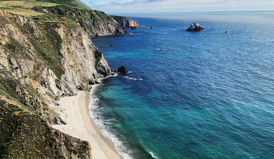

The single best stop in Big Sur, California isn’t Bixby Bridge. It’s the unmarked turnout just south of it at Hurricane Point, where you get the ocean, the bridge, and the whole ragged coastline in one look, with a fraction of the crowd. Everyone slams the brakes at the bridge itself and misses the view that actually explains why people drive this road at all.
Highway 1 through Big Sur is a two-lane road with no passing lanes, narrow shoulders, and a posted speed limit of 55 mph that you’ll rarely reach. Most of the route runs 35 to 45 mph, dropping to 15 or 20 on the tightest curves. That’s exactly why the turnouts matter: at that speed, on that road, the scenery deserves more than a glance through the windshield.
The ranking below is sorted by crowd-to-payoff ratio, how much you see and feel relative to how many other cars are jockeying for the same six parking spots, not by raw scenery alone. That’s also the thing most Big Sur lists skip: they rank by postcard value and send everyone to the same three pullouts at noon. Go at 7am instead. The fog hasn’t burned off, the tour buses haven’t left Monterey yet, and half these spots are functionally empty for a two-hour window that most itineraries never account for.
10. Garrapata State Park, California
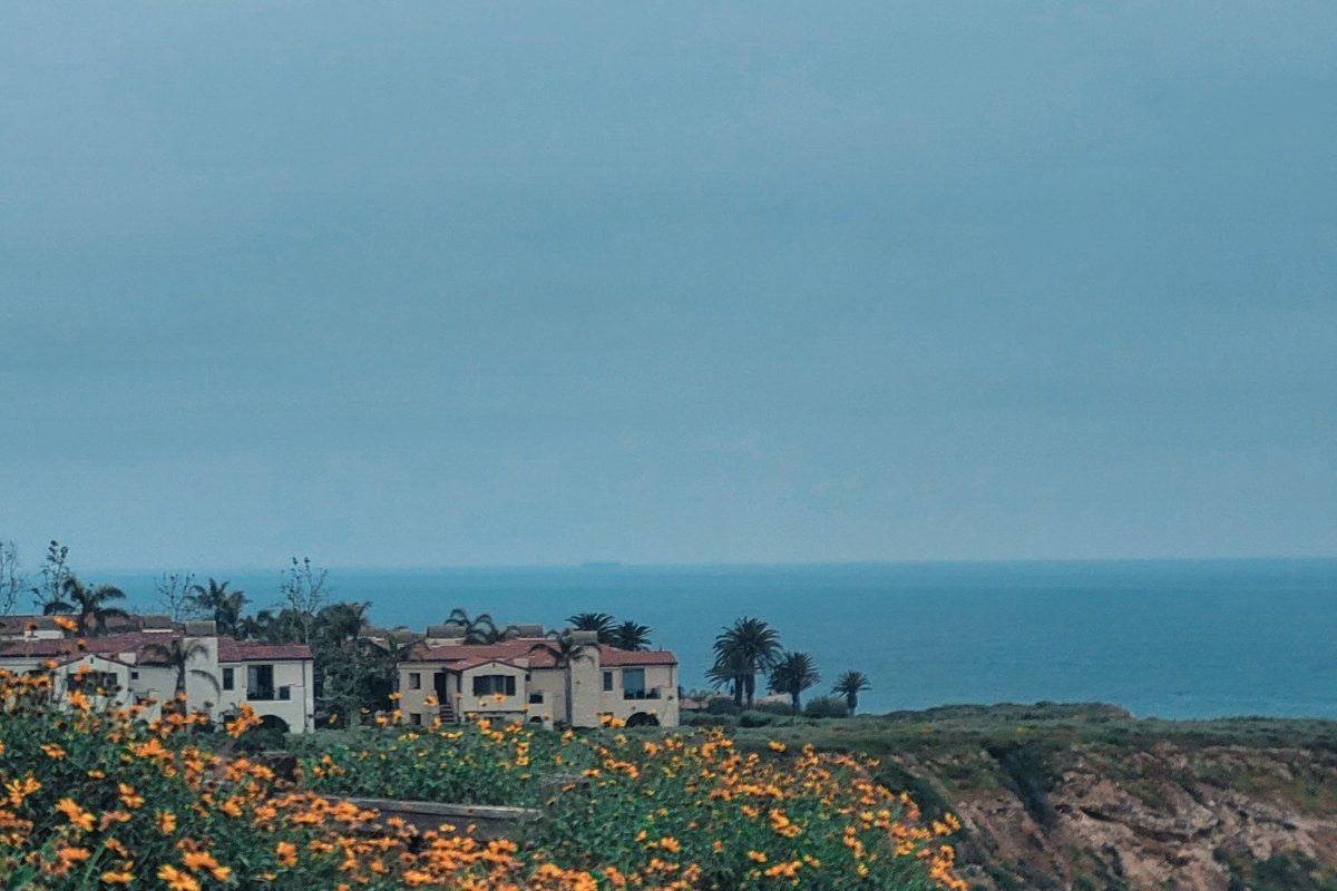
This is the first real stop coming south from Carmel, about 18 miles north of Big Sur Village (roughly a 25-minute drive), and most people drive right past it because the entrance has no sign, just a row of dirt pullouts along the highway. Park at any of them and you can walk down to two miles of open beach or climb a short, steep half-mile trail that gains about 50 feet to a bluff view over the water. Watch for sea otters and harbor seals bobbing just offshore, and in spring the hillsides go thick with wildflowers. The friction point here isn’t crowding, it’s navigation: there’s no visitor center, no bathroom, and no obvious trailhead, so you’re relying on guesswork or a downloaded map. Locals treat that as a feature. First-timers sometimes treat it as a reason to give up and keep driving, which is a mistake.
9. Hurricane Point, California
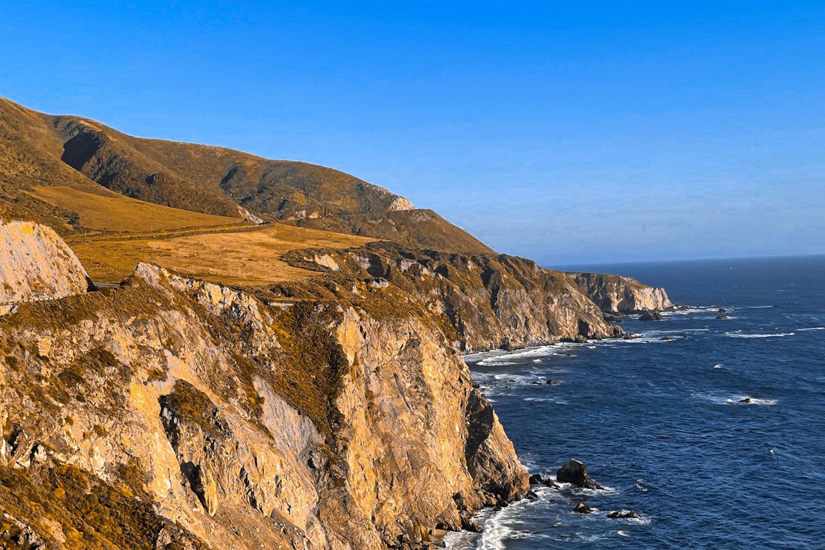
South of Bixby Bridge (about 13 miles, or 20 minutes, from Carmel), the highway climbs hard into a series of switchbacks with almost nothing between the pavement and a very long drop to the ocean. The turnout at the top is unmarked and easy to miss if you’re focused on the road, which, to be fair, you should be. Stop here and you get a wide-angle view that includes Bixby Bridge below you, the folded green ridgelines of the Santa Lucia Mountains, and open Pacific stretching out with nothing in the way. At 7am the wind already has weight to it, a steady push that makes the truck doors hard to close and carries salt you can taste before you smell it. Hold onto hats, jackets, anything loose. It’s also part of the Big Sur International Marathon route: the race runs the last Sunday in April and closes this stretch of Highway 1 to regular traffic from roughly 6:30am to early afternoon, so check the marathon’s official closure schedule before planning a late-April drive through here.
8. Nepenthe Overlook, California
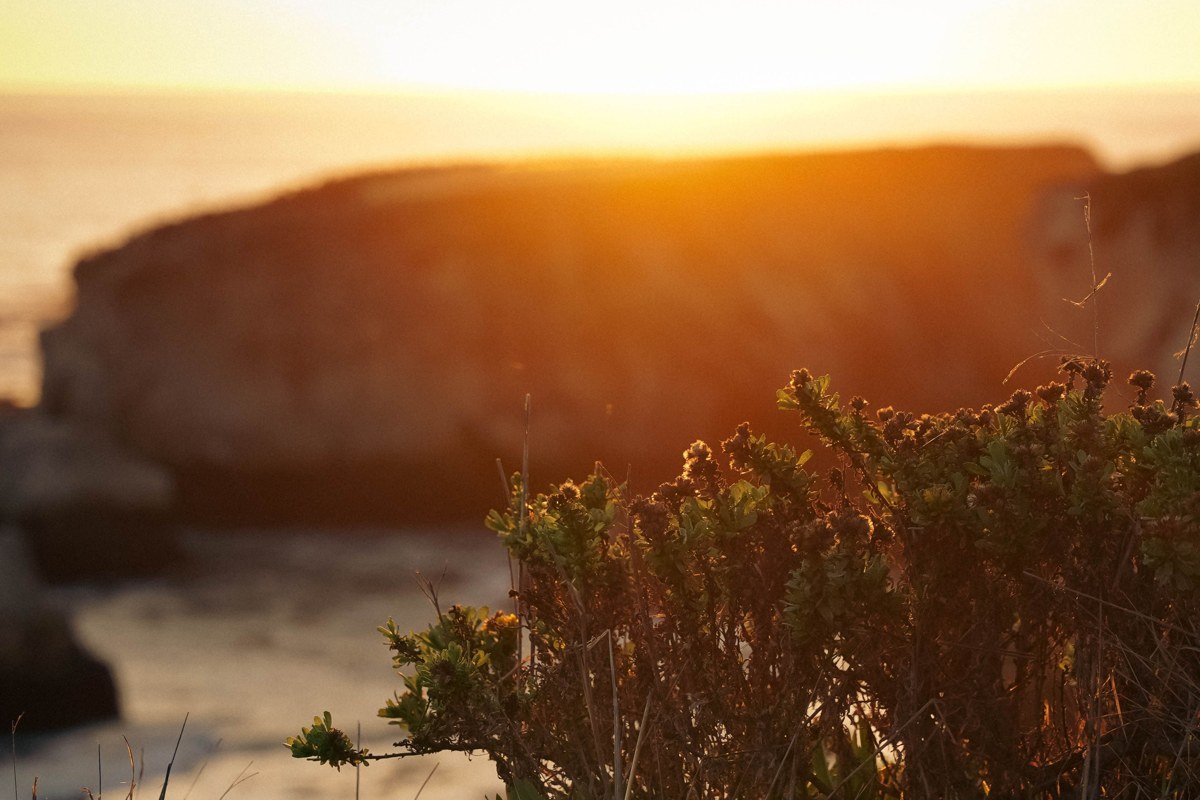
Nepenthe is a restaurant, not a state park, and it sits on a bluff about 800 feet above the ocean, roughly 29 miles (45 minutes) south of Carmel, with a terrace view that rivals anything in Big Sur. The move is to skip the sit-down meal if you’re short on time and just walk up to the terrace for the view and a cup of coffee at the adjoining Phoenix Shop and cafe. Sunset is when it’s genuinely worth the stop, when the light turns the whole coastline amber. The friction point is timing, not access: the parking lot is small and genuinely jams up on summer weekends between noon and 4pm, and the food prices reflect the view more than the plate. Go at 4pm on a weekday and you’ll get a table with no wait.
7. Pfeiffer Beach, California
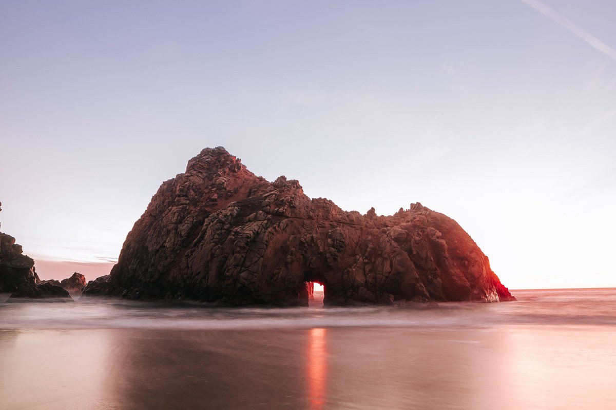
This is the beach with the keyhole rock and, in the right season, streaks of purple sand from manganese garnet deposits washed down from the hills. It’s about 26 miles (roughly 40 minutes) south of Carmel. Getting there is the whole story: it’s down a narrow, unmarked, two-mile access road (Sycamore Canyon Road) off Highway 1 that fits maybe one and a half cars wide, with no highway sign because the Forest Service and neighbors have fought over signage for years. There’s a self-pay day-use fee of $12 per vehicle at the station once you reach the lot. Come near sunset for the light through the keyhole arch, but know the lot holds only about 40 cars and fills early on weekends and any day in summer. If it’s full, there’s no real overflow, so you circle back later or give up.
6. Julia Pfeiffer Burns State Park, California
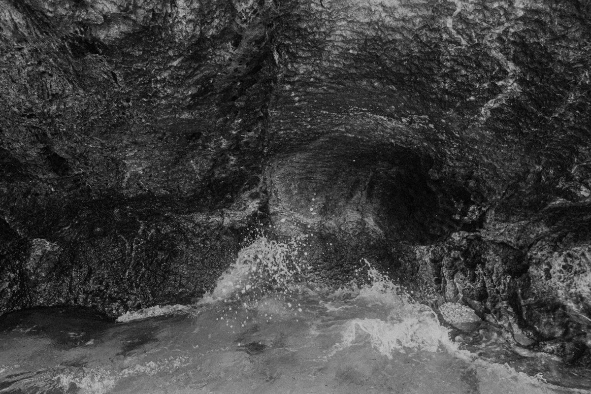
McWay Falls is the picture everyone’s seen without knowing the name: an 80-foot waterfall dropping straight onto a sandy cove beach, visible from a short, flat, wheelchair-accessible trail that takes maybe ten minutes round trip. It’s about 37 miles (55 minutes) south of Carmel. That ease is exactly why it draws a crowd, and the parking lot, which holds only a few dozen cars, overflows constantly in summer. You cannot walk down to the beach itself, it’s fenced off for erosion reasons, so this is strictly a lookout, not a swim stop. Go early morning if you want the photo without twenty strangers in it.
5. Limekiln State Park, California
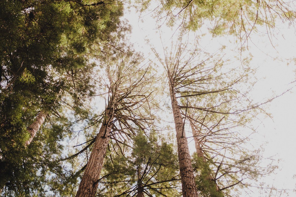
South of the more famous stops, Limekiln sits where a redwood canyon meets the ocean, about 55 miles (a little over an hour) south of Carmel and around 22 miles (35 minutes) north of San Simeon. It’s the rare Big Sur park with both a beach and old-growth redwoods a short walk apart. Day use runs $10 per vehicle. The kilns themselves, four brick and steel furnaces from a 19th-century lime-processing operation, sit up a half-mile trail through the canyon and are a genuinely odd, industrial thing to find under a redwood canopy. Under the redwoods it’s ten degrees cooler than the highway, damp-smelling, and quiet enough that you hear the creek before you see it. This is also one of the few developed campgrounds left standing after years of slides and fires reshaped camping options along this stretch. The real friction here is simply distance: it’s far enough south that day-trippers from Monterey often skip it, which is exactly why it stays quiet.
4. Sand Dollar Beach, California
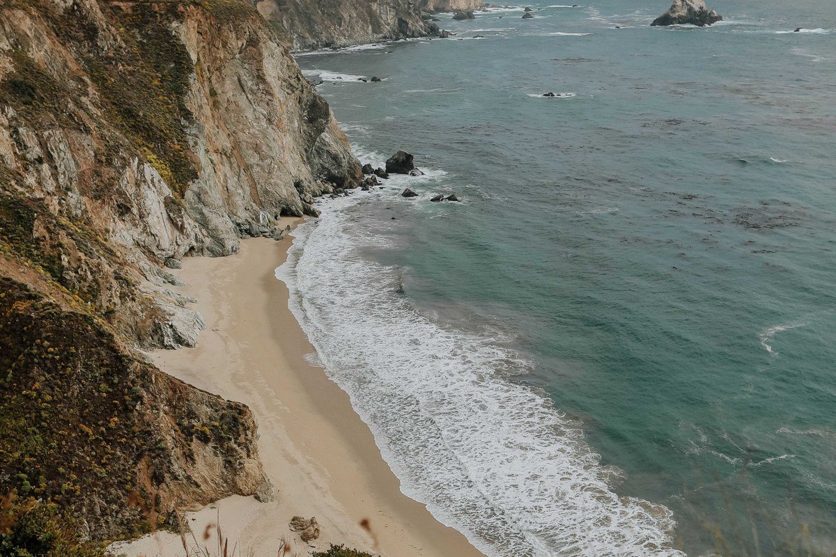
This is the longest stretch of sandy beach in Big Sur, reached by a short trail and staircase down from a bluff-top parking area near Plaskett Creek, about 62 miles (an hour and 15 minutes) south of Carmel and roughly 16 miles (25 minutes) north of San Simeon. Unlike Pfeiffer Beach, there’s no permit fuss and no narrow access road, just a straightforward pull-in off Highway 1 and a fee station. Bring a windbreaker; this stretch catches wind funneling down the Pacific Valley, and swimming is genuinely dangerous due to rip currents, so this is a walking and driftwood-collecting beach, not a swimming one. It’s closer to Gorda than to Big Sur Village, and that extra distance is the whole reason it stays this empty given how good it is.
3. Point Sur State Historic Park, California
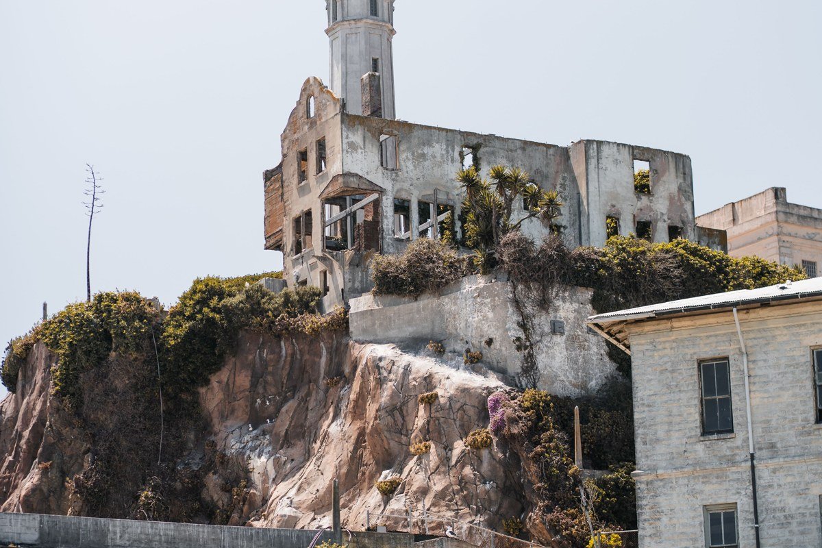
The lighthouse itself sits atop a volcanic rock formation jutting into the ocean, about 20 miles (30 minutes) south of Carmel. You can only see it up close on a guided tour, run by the Point Sur Lighthouse Association on a fixed schedule (typically Wednesday, Saturday, and Sunday, with additional summer evening tours), so this is a stop you plan ahead for, not a spontaneous pull-off. Tour pricing runs $15 for adults, with reduced rates for seniors and children; check the association’s site for the current calendar before you go, since tours are sometimes cancelled for weather or event closures. From the highway turnout below, you get one of the most striking silhouettes on the whole route: a dark, sheer rock island connected to the mainland by a narrow strip, lighthouse perched on top, fog rolling around its base most mornings. At 7am you can hear the foghorn before the shape of the rock even resolves out of the mist, a low sound that seems to come from everywhere at once. The tour itself takes about three hours and involves a steep half-mile walk up to the light along with several flights of stairs. If you don’t have time for the tour, the roadside view alone justifies five minutes with your hazards on.
2. Andrew Molera State Park, California
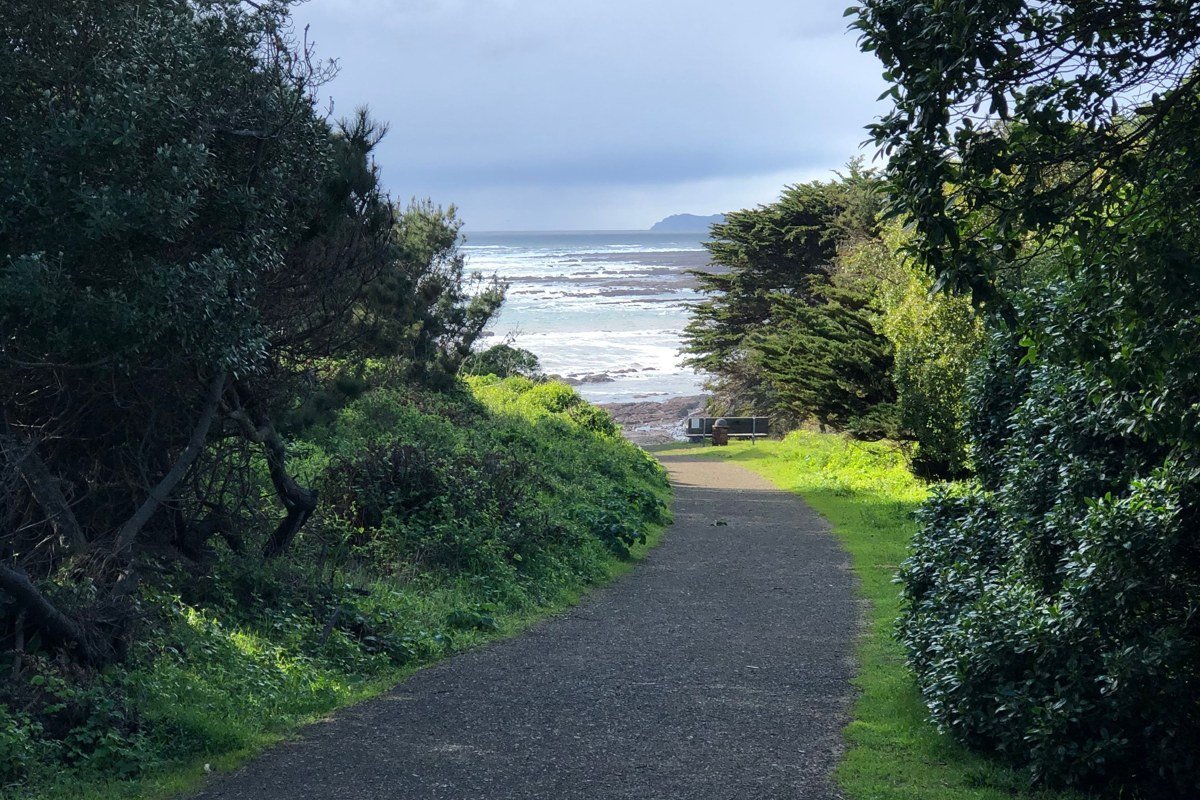
This is the biggest state park in the Big Sur area, about 22 miles (35 minutes) south of Carmel, and the one most likely to give you actual solitude, since most of its trail mileage runs through meadows and along bluffs rather than to one famous photo point. Park at the lot off Highway 1, and you can walk out toward the Big Sur River mouth or climb into the hills for a wide, quiet view that most people driving south never see because there’s no single postcard shot pulling them in. Horseback rides are available seasonally through a concessionaire. The friction point here is motivational, not physical: no dramatic single sight means it’s easy to drive past entirely, and you need at least an hour, ideally more, before the place gives you anything back.
1. Bixby Bridge Turnout, California
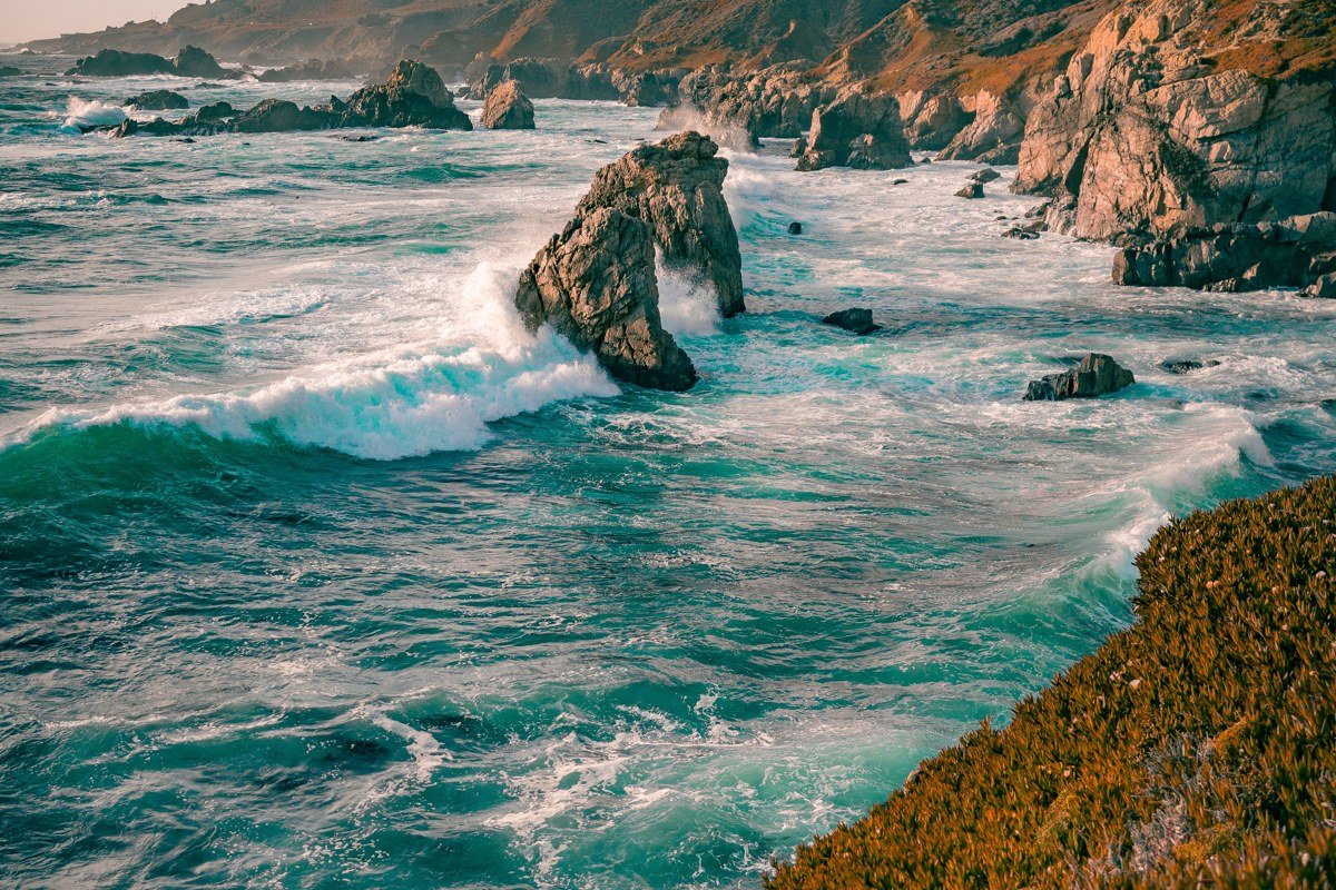
This still tops the list, not because it’s a secret (it isn’t) but because it’s the single stop that earns every bit of its reputation and anchors the whole trip. It sits about 13 miles (20 minutes) south of Carmel. Built in 1933, the concrete arch spans 320 feet and rises 280 feet above the canyon floor, making it one of the tallest single-span bridges of its kind, and the north-side turnout gives you the classic shot with the bridge, the canyon, and the ocean all in frame. At 7am the fog sits inside the canyon like it’s been poured there, and you can hear waves hitting the rocks below the bridge deck before you can see the water. Go before 9am if you can manage it, because the small lot fills fast and cars start parking dangerously along the shoulder by mid-morning. Fog is common here through summer, and while it usually burns off by midday, it can linger and make the bridge disappear entirely, so mornings in late spring or fall tend to give the clearest views. It’s touristy, it’s crowded, and it’s still worth stopping for.
How I’d pick
If this is your first trip and you’ve got one day, hit Bixby Bridge early, then Garrapata, then McWay Falls, and call it a loop. Couples with a weekend should add Hurricane Point and Nepenthe for sunset and stay long enough to catch fog rolling out at dawn. Families do best at Andrew Molera or Sand Dollar Beach, where there’s room to run and no cliffside scrambling. If you’ve only got one weekend and want to skip the crowds entirely, push south past Julia Pfeiffer Burns to Limekiln and Sand Dollar, and accept you’ll miss a couple of the famous names to gain the quiet ones. Whatever you choose, check road conditions before you go. Highway 1 through this stretch is prone to slides, sometimes closing sections for months, and the honest answer to whether the Pacific Coast Highway is open at Big Sur changes often enough that it’s worth a call or a look at current Caltrans advisories the morning you leave, not the week before.