
The fog isn’t a flaw in Big Sur, California. It’s the show. Pull into the Garrapata State Park lot on a July morning expecting the postcard coastline, and you’ll find white air and nothing else, then, ten minutes later, a headland ghosting into view below the bluff like it’s being developed in a darkroom.
Big Sur, California runs roughly ninety miles along the central coast, from just south of Carmel down to San Simeon near Hearst Castle, with the Santa Lucia range shoving right up against the ocean the entire way. There’s no fog schedule you can set a watch to, but the pattern holds well enough to plan around: mornings often start soupy, the layer burns off by midday inland, and it can sit thick on the water and reappear at dusk. Late spring and early summer, roughly May through July, bring the densest and most persistent fog. September and October are the clearest, warmest window, which is why serious Big Sur planners quietly consider fall the best time to visit, not summer.
This one’s for photographers, elopement couples, and anyone who’d rather chase atmosphere than chase a postcard sunset.
North Big Sur: the drive-in classics
This stretch is what most people mean when they picture Big Sur: the first twenty minutes south of Carmel where Highway 1 commits to the cliffs. It’s also the most congested part of the road in summer, so plan parking patience along with fog patience.
Garrapata State Park, California
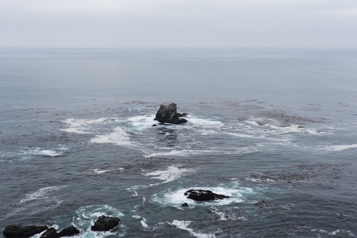
Garrapata sits about 18 miles north of Big Sur Village, and it’s the park most first-timers blow past because it has no big sign, just numbered roadside pullouts along the highway. There’s a short, steep coastal trail that climbs about 50 feet to a bluff view, and on a foggy morning that climb ends in nothing but white, then a headland ghosting into view below. Sea otters and harbor seals work the coves here, often audible before they’re visible. Entry is free, no permit needed, which makes it an easy add-on before the drive south to Bixby Bridge, 11 miles down Highway 1.
Bixby Bridge, California
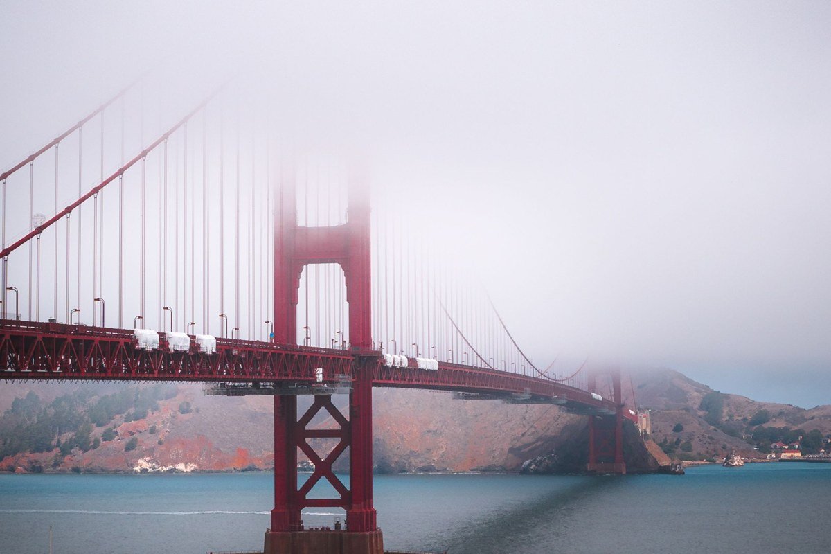
Bixby Bridge is the single most photographed structure on this coast, a 1932 concrete arch spanning 320 feet and standing 280 feet above the canyon, and everyone has the clear-sky version of this shot already. The fog version is better: the deck floats above a canyon that’s dropped out entirely, and cars emerge from white instead of blue sky. Arrive early. The pullout north of the bridge fills fast by mid-morning even in fog season, and rangers do ticket cars parked outside the marked gravel area.
Rocky Point, California
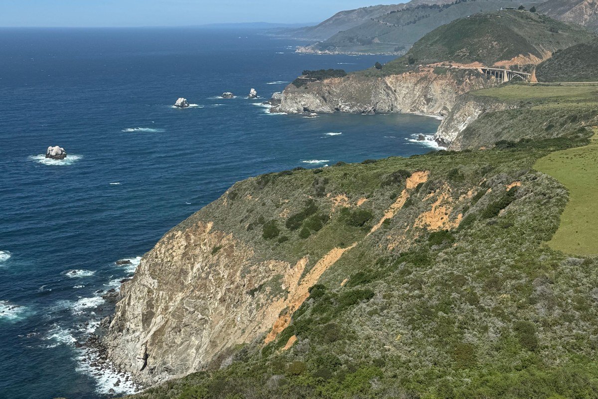
A few miles south of Bixby, Rocky Point is a smaller, quieter pullout that locals use precisely because tour buses don’t stop there. The cliff edge gives you a long, exposed sightline down the coast, which means it’s one of the more dramatic spots to watch a fog bank physically move, rolling in from offshore, swallowing one headland, then the next. It’s also a good gut check for road conditions before you commit further south: this stretch of Highway 1 has zero passing lanes, and fog thickens the closer you get to Point Sur.
Big Sur Village and the river valley
Here the highway drops off the exposed cliffs and ducks inland along the Big Sur River, through redwood canyon that stays cool and damp even when the coast is clear. This is the practical center of the region: gas, groceries, and most of the campgrounds sit in this stretch, which matters because fuel stops along the entire Big Sur corridor number only a handful and prices run high.
Pfeiffer Big Sur State Park, California
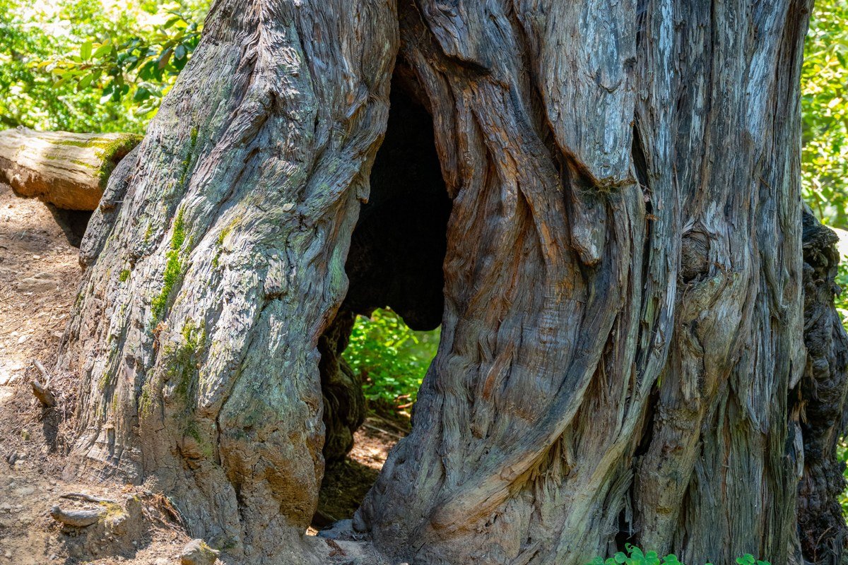
This is the park most people mean by “Big Sur camping,” and it’s the one to book if you want a base rather than a single stop. Day-use entry runs $10 per vehicle. The redwood canopy here traps fog into a kind of low ceiling that filters light instead of blocking it, so even a gray morning turns into soft, even hiking light on the Valley View and Pfeiffer Falls trails. Campsite reservations open six months out on ReserveCalifornia and vanish fast for summer weekends, so if you’re set on camping here, treat the booking window as seriously as the drive. Pfeiffer Beach is a 10-minute drive west on Sycamore Canyon Road.
Pfeiffer Beach, California
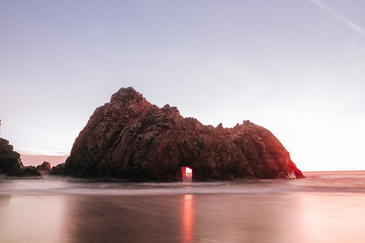
Pfeiffer Beach is famous for its keyhole rock arch and its purple-streaked sand, and it’s also the spot people call overrated because the access road is unmarked and narrow, and the gate closes once the roughly 60-car lot fills, typically by mid-morning in summer. Go early, or go in the off-season. In fog, the arch loses its usual sunset-through-the-hole photo entirely, and instead you get a beach that reads as pure black rock and white sky, moodier than the famous shot and far less crowded to actually stand and look at.
Andrew Molera State Park, California
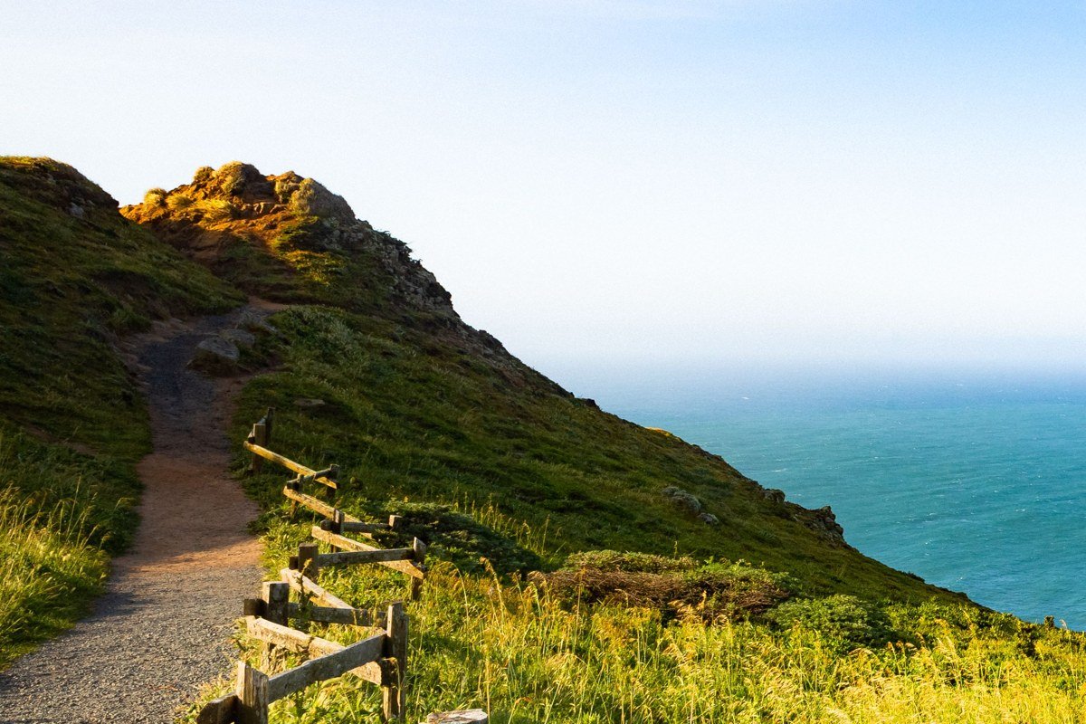
Molera sits just north of the village and gets a fraction of Pfeiffer’s crowds, largely because parking is a dirt lot rather than a paved one and there’s more walking involved to reach the coast. The bluff trail here runs above a wide river mouth and beach, and the payoff is scale: on a foggy day you can watch the marine layer sitting offshore like a wall while the immediate coastline stays visible, a rare spot where you get both the fog and the view in the same frame. Watch the line shift for an hour and you’ll see the whole marine layer creep or retreat in real time.
South Big Sur: Lucia to Gorda
South of the village, crowds thin out fast, gas stations get scarcer, and the road gets narrower and more exposed. This is also, not coincidentally, where the elopement crowd tends to head, since a handful of clifftop venues here book ceremonies specifically for the drama of low cloud.
Nepenthe and the Henry Miller Library area, California
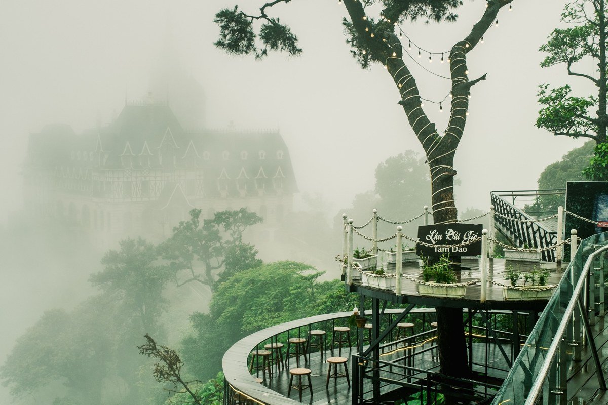
Nepenthe’s terrace sits about 800 feet above the ocean, and on a clear day the view is the whole point of the visit. On a foggy day, the restaurant becomes the view: you’re on a deck perched above a solid bank of cloud with no ocean visible at all, a strange and worthwhile thing to experience once. The adjacent Henry Miller Memorial Library, a small bookstore and cultural spot rather than an actual library, makes a good fog-day backup when the view’s a wash, and it sits an 11-mile drive north of Julia Pfeiffer Burns State Park.
Julia Pfeiffer Burns State Park, California
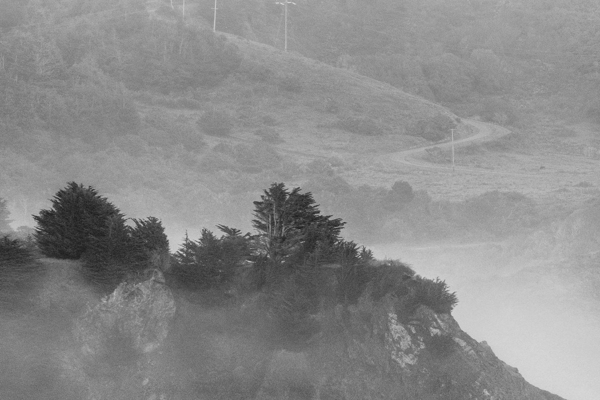
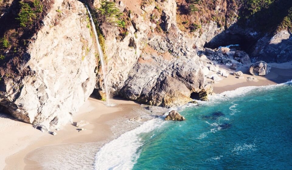
This park holds McWay Falls, the waterfall that drops straight onto a beach cove, viewable from a short paved overlook trail without much elevation gain. Parking runs $10 per vehicle, and the lot holds only a few dozen cars, so if it’s full, loop back rather than squeeze onto the highway shoulder. It’s one of the most reliably photogenic spots on the whole coast, and fog changes it completely: the falls keep running regardless, but the cove’s turquoise water and the cliffs behind it soften into pastel gray, less postcard, more watercolor.
Limekiln State Park, California
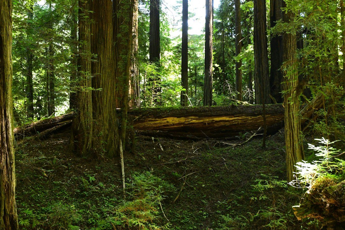
Near the small settlement of Lucia, Limekiln is easy to miss, and that’s the appeal. It packs redwood canyon, a creek, an old lime kiln structure, and beach access into a small footprint, and the canyon walls hold fog even after it’s burned off along the open coast. If the highway view is fogged out, drop into Limekiln’s canyon and you’ll usually still get a decent, sheltered hike, 15 miles south of Julia Pfeiffer Burns.
Gorda and Jade Cove, California
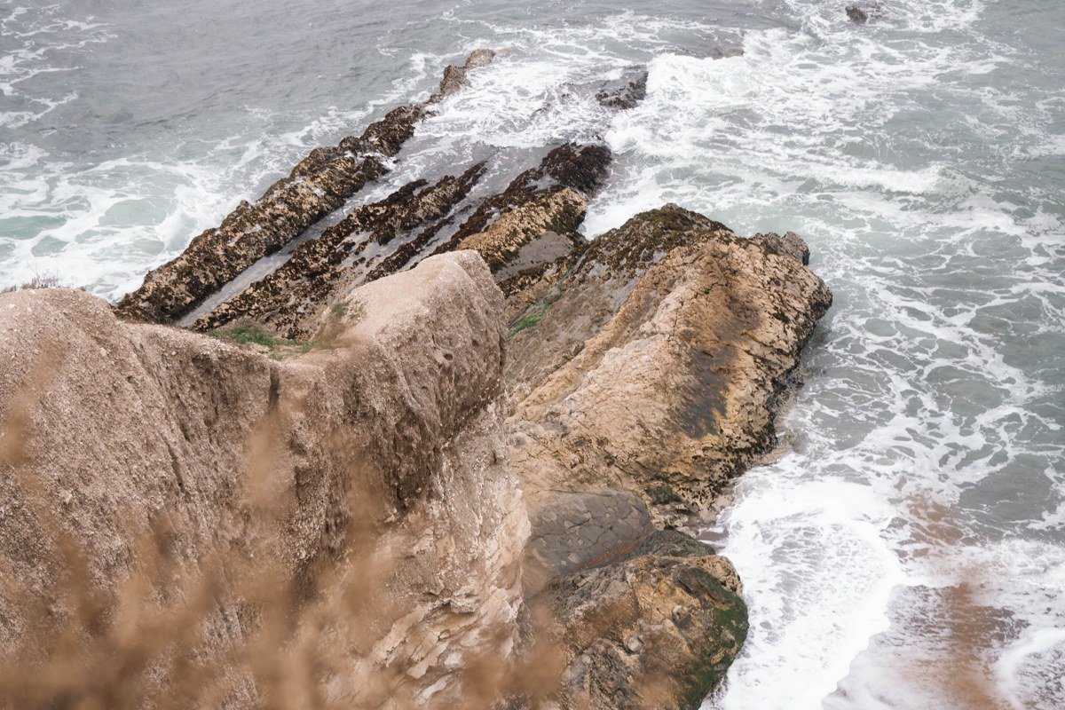
Gorda marks the practical southern edge of Big Sur before the highway opens up toward San Simeon and Hearst Castle. Jade Cove, just north of the settlement, is a rock and boulder beach where people hunt for small jade pieces at low tide, and it’s remote enough that a foggy day here feels genuinely isolating rather than just scenic. Fill up in Gorda before continuing either direction: gas stations through Big Sur are few and expensive, and this is close to the last one before long empty stretches on the highway.
Which cluster to pick for a long weekend
If this is a first visit, base yourself in the Big Sur Village cluster: it has the camping, the gas, the groceries, and two of the most fog-transformed spots (Pfeiffer Beach and Molera) within a short drive of each other. If you’ve done the classics already and want fewer people between you and the view, push south to the Lucia-to-Gorda cluster, book a night near Lucia, and accept the longer, curvier drive as part of the deal.
Check Caltrans Quickmap conditions before you go: Highway 1 through Big Sur does close periodically for slides and repairs, sometimes for extended stretches, and the only detour is the long inland route via Nacimiento-Fergusson Road, which adds roughly an hour compared to staying on Highway 1. For fog itself, check the National Weather Service’s Monterey marine forecast the morning of your drive. It won’t tell you which overlook will clear first, but it will tell you whether the marine layer is thickening or lifting that day, which is the difference between planning around the fog and just guessing.