
White Sands, New Mexico looks like snow that never melts, gypsum dunes so white they photograph overexposed even when your camera says otherwise. Death Valley, California looks like the inside of a kiln, a salt basin so low and so hot that even the air seems to bend. They’re 800 miles apart and nothing alike, and that’s the point. Everyone plans a southwest road trip around Utah’s Mighty Five and calls it done. This one skips Utah completely and strings together the salt flats, dune fields, a volcanic crater, and a stretch of painted badlands that the desert Southwest does better than anywhere else in the country.
This loop runs roughly 1,750 miles and takes 8 to 10 days if you want time to actually get out of the car, starting in Alamogordo, New Mexico and ending in Las Vegas, Nevada, which also makes it a workable southwest road trip from Las Vegas if you just fly in and out of there instead. It cuts west across southern New Mexico and Arizona, dips into the Mojave, and finishes in Death Valley before the short run back to Vegas. Pack more water than feels reasonable and check road closures before you go: some of these routes are unrecognizable after a summer flash flood.
Stop 1: White Sands National Park, New Mexico
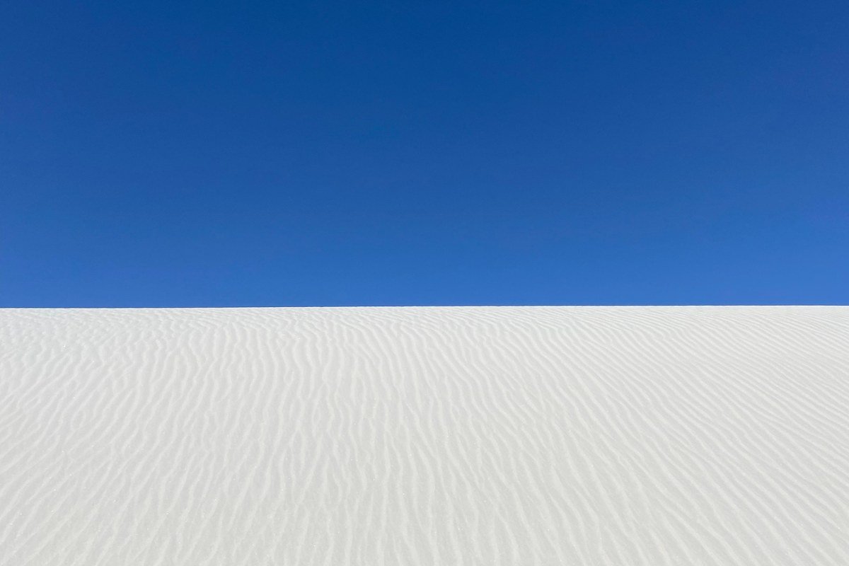
This is the anchor of the whole trip and the reason to start in southern New Mexico rather than Phoenix or Vegas. Entrance is $25 per vehicle (as of 2024), good for seven days. The dunes are pure gypsum sand, cool underfoot even in summer, and the park road is paved all the way to the picnic area loop where most people abandon the car and start climbing dunes on foot. Go at sunset, when the light turns the white sand pink and orange and the day-trippers have mostly cleared out. Bring a plastic sled (they sell them at the visitor center gift shop) since the gypsum is fine and hard-packed enough on the leeward dune faces to actually slide.
Next leg: 4 hours west on US-70 and I-10 to Tucson, Arizona, with a worthwhile detour through the Organ Mountains outside Las Cruces.
Stop 2: Willcox Playa, Arizona
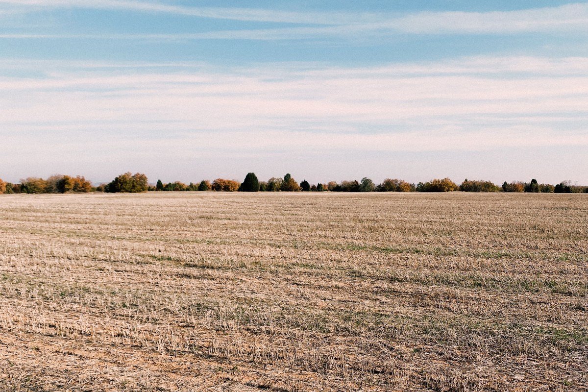
Most people driving I-10 through southeastern Arizona never notice this one, and that’s exactly why it belongs on the list. Willcox Playa is a dry lake bed roughly 50 square miles in size, one of the larger playas in Arizona, and in winter it fills with sandhill cranes that stop over by the thousands, drawing birders to the nearby Whitewater Draw area. The rest of the year it’s just an enormous, cracked, blinding-white basin visible from the highway shoulder if you know where to pull off near the town of Willcox. It’s not a hike-in destination like the others on this list, it’s a stop-the-car-and-stare kind of place, and that’s fine.
Next leg: 1.5 hours west on I-10 to Tucson for the night, then continue toward Phoenix the next morning.
Stop 3: Painted Desert, Arizona
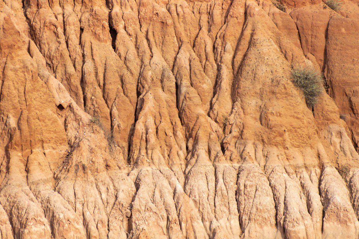
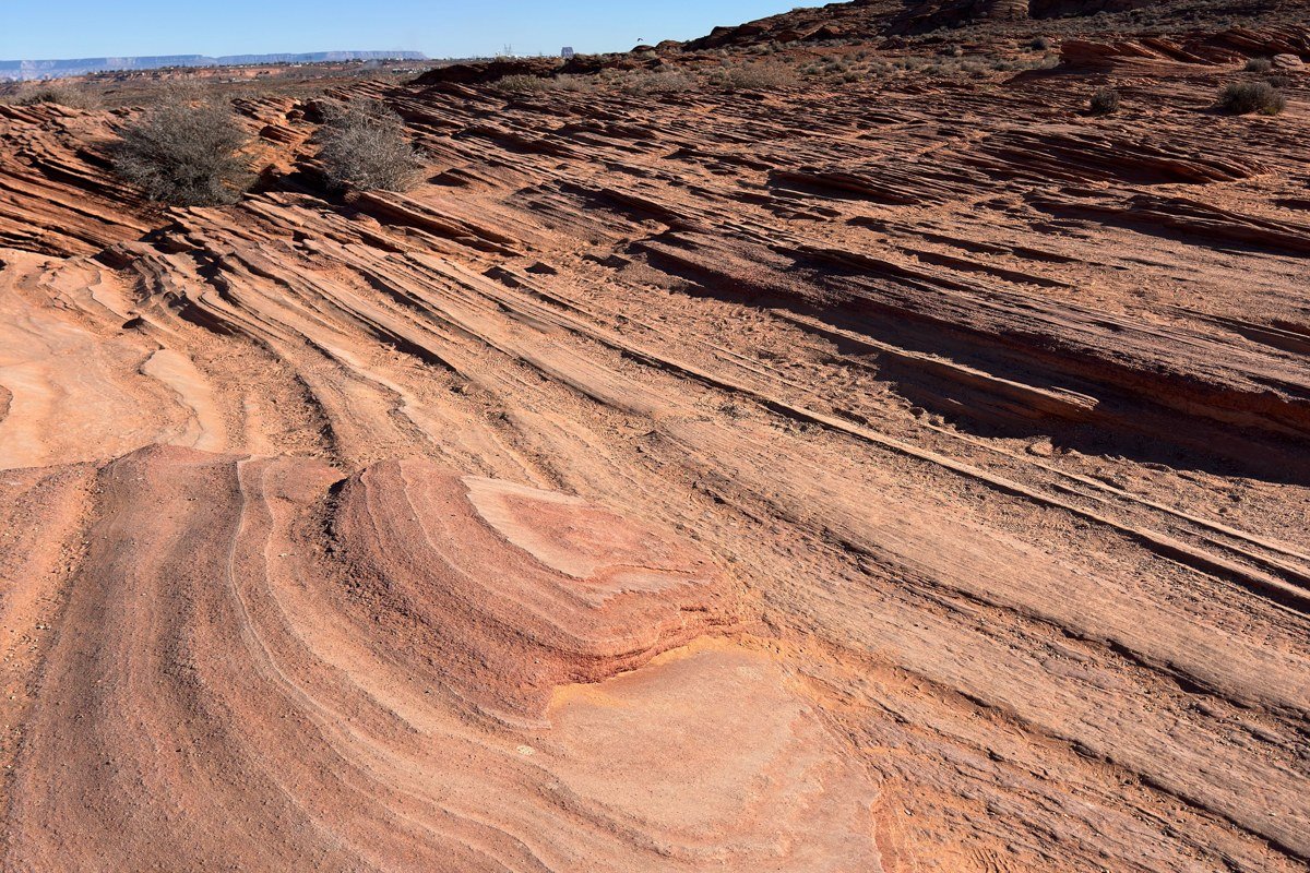
If you’re doing a southwest road trip from Phoenix instead of starting in New Mexico, this is your natural first stop, about 3.5 hours northeast up I-17 and then east on I-40. The Painted Desert isn’t salt or sand, it’s banded badlands in red, orange, and lavender, part of Petrified Forest National Park. Entrance runs $25 per vehicle. The park road is a single 28-mile through-route with pullouts, easy enough to do in half a day, and it connects directly to old Route 66 nostalgia if you’ve got kids who need a break from staring at rock formations. This is also the detour point if you’re folding in a southwest road trip with kids: short trails, clear signage, no permit headaches.
Next leg: 4.5 hours south and west on I-40 and I-17 back through Phoenix, then continue toward the Mojave.
Stop 4: Palen Dry Lake, California
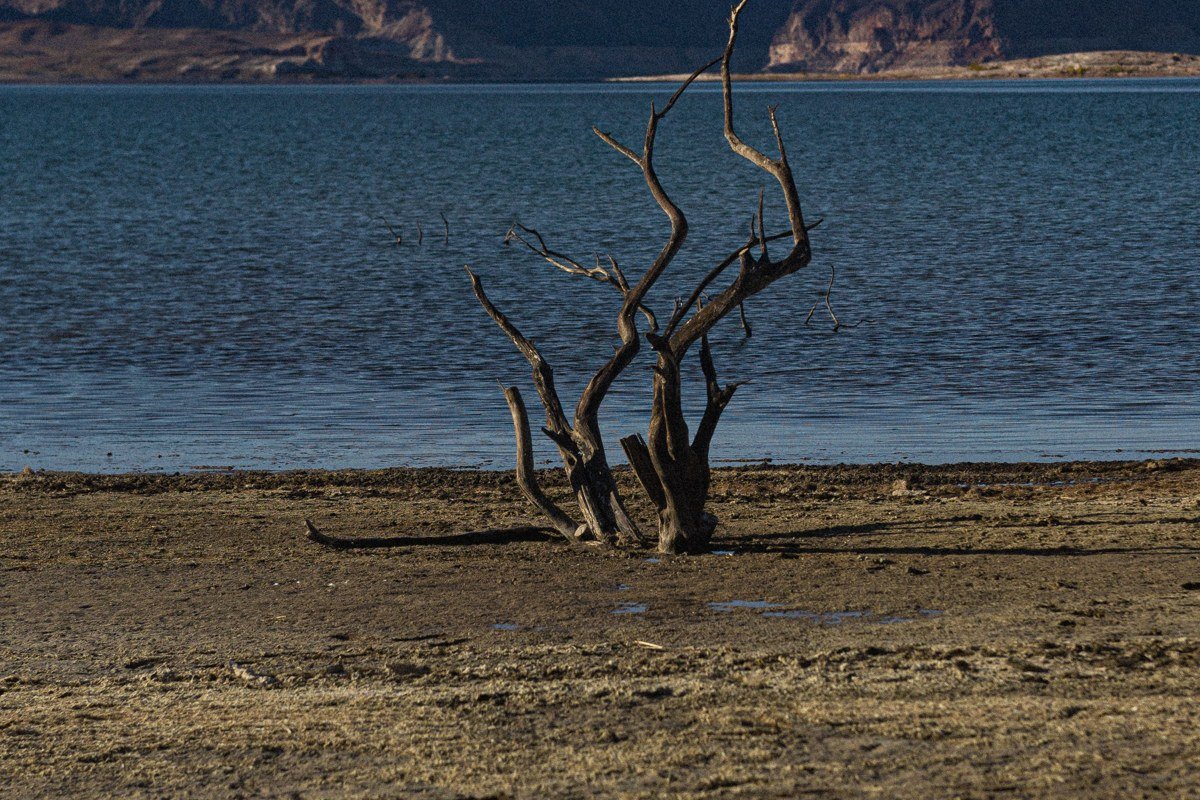
This one is for people who want real solitude and don’t mind unpaved roads. Palen Dry Lake sits off Highway 177 in the California desert between Blythe and Desert Center. There’s no visitor center, no fee, no crowd, just a wide-open playa ringed by the Palen and McCoy mountains. High-clearance vehicles handle the access roads better than low sedans, especially after rain, when the surface can go from hard-packed to sticky mud within a mile. This is the stop that separates a real Southwest desert road trip from a national-park checklist: flat ground, silence, and nothing else for miles.
Next leg: 2 hours northwest on I-10 and CA-62 toward Joshua Tree and the Mojave.
Stop 5: Kelso Dunes, California
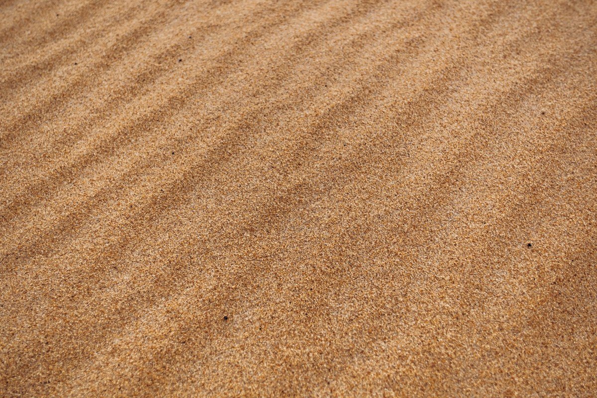
Kelso Dunes sit inside Mojave National Preserve, and they’re some of the tallest dune fields in the country, rising 600 feet off the desert floor. The approach road is dirt but graded and fine for most cars in dry weather, and the walk up the dunes is deceptively hard: soft sand at a steep angle for the better part of a mile. Locals call these the “singing dunes” because settling sand grains can produce a low booming sound on dry, windy days, though it doesn’t happen every visit. Skip the more remote Eureka Dunes further north unless you have a full extra day; Kelso gives you nearly the same scale with far less driving, and there’s no entrance fee since the preserve doesn’t charge one.
Next leg: 2.5 hours north on Kelbaker Road and I-15 toward Baker, California, gateway to Death Valley.
Stop 6: Amboy Crater and Bristol Dry Lake, California
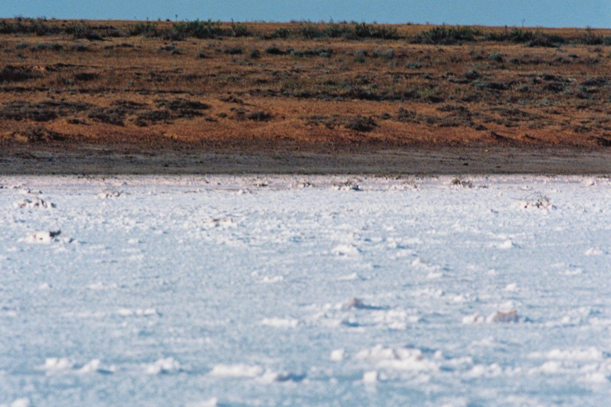
This stop pairs two things in one stretch of old Route 66: Amboy Crater, a volcanic cinder cone you can hike into in under two hours round trip, and Bristol Dry Lake right beside it, a brilliant white salt pan mined commercially for its mineral content. Black volcanic rock against white salt crust, both baking under the same relentless sun, is the whole reason to stop. Gas stations are sparse on this stretch, so fill up in Amboy or before. It’s an easy add if you’re already routing through the Mojave and don’t want to backtrack.
Next leg: 2 hours north on National Trails Highway and CA-127 to Death Valley’s eastern entrance.
Stop 7: Badwater Basin, Death Valley National Park, California
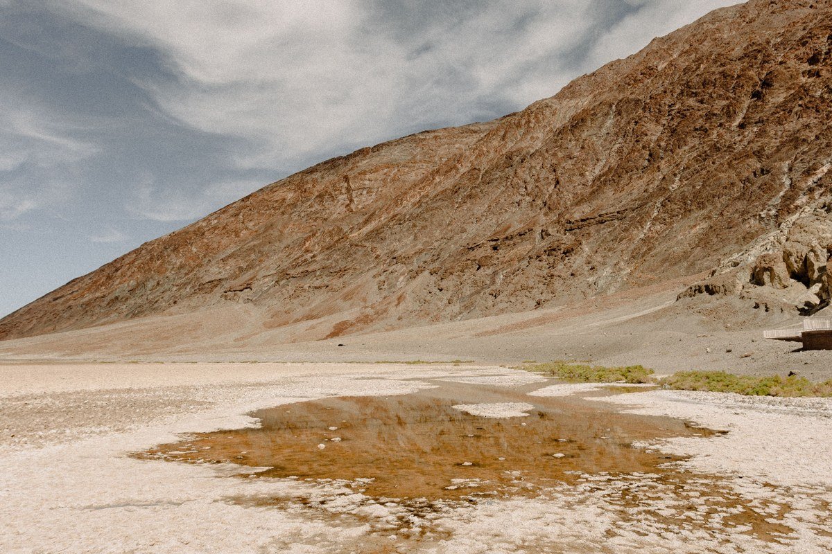
Badwater Basin is 282 feet below sea level, the lowest point in North America, and its salt flat cracks into honeycomb polygons that stretch out toward mountains on every side. Death Valley’s entrance fee is $30 per vehicle, good for seven days (as of 2024); no separate permit is needed for Badwater or Mesquite Flat. The boardwalk gets you onto the salt easily, but the real polygon patterns are a 15 to 20 minute walk further out, past where most tour buses stop. Furnace Creek, a few miles north, holds the record for the hottest reliably recorded air temperature on Earth: 134°F on July 10, 1913. A summer visit here is a real safety risk, not just discomfort, so plan for December or January, when daytime highs run comfortable and you’ll share the salt flat with far fewer people.
Stay in Furnace Creek if you want full services, or Panamint Springs on the park’s west side if you’d rather have a quieter motel and easy access to Father Crowley Vista the next morning. Stovepipe Wells sits closer to Mesquite Flat and works well if that’s your next stop at sunrise.
Next leg: 45 minutes north on Badwater Road to the dunes near Stovepipe Wells.
Stop 8: Mesquite Flat Sand Dunes, Death Valley National Park, California
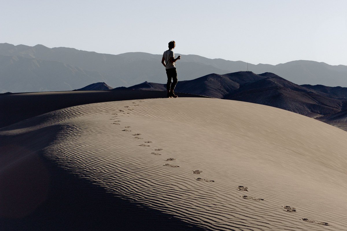
The last stop, and one of the most photographed dune fields in the Southwest. Mesquite Flat sits just off the main park road near Stovepipe Wells, no permit, no hike-in required, and you can be standing on sand within ten minutes of parking. Sunrise is the move here, both for the light raking across the ripples and for beating the heat, since there’s zero shade anywhere on the dunes. Dogs are allowed on the dunes and in most day-use areas of Death Valley, more access than most national parks give, though the sand itself gets brutally hot by midday, so plan paw protection or an early exit if you’re bringing one along.
From here it’s about 2.5 hours southeast on CA-190 and I-15 into Las Vegas, Nevada, for a flight home or a night of decompressing before you fly out.
If you only have 3 days
Cut this down to White Sands, Kelso Dunes, and Death Valley’s two stops, skipping the Arizona and California playa detours entirely. That’s still a real Southwest road trip itinerary, just compressed, and it’s drivable in a long weekend if you fly into El Paso, Texas and out of Las Vegas. Doing it in reverse works just as well and might work better logistically: start in Vegas, hit Death Valley while you’re fresh, and finish at White Sands before flying out of El Paso, which cuts down on driving fatigue toward the end of the trip rather than the beginning.
The one thing to build around regardless of direction: Death Valley in summer routinely hits 120°F at Badwater Basin with no shade and no cell service in most spots, conditions that have killed unprepared visitors in past years. Anchor your travel dates to the cooler months and build the rest of the itinerary around that fixed point. Everything else on this list is far more forgiving.