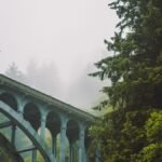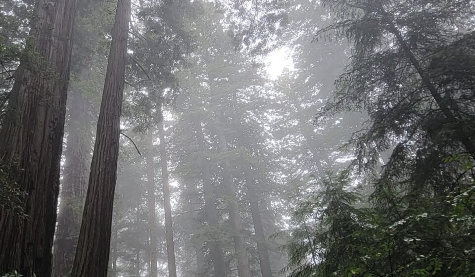

The best redwood fog doesn’t roll in like weather, it just is, already there when you wake up, and it doesn’t burn off until noon if at all. I’ve stood in Lady Bird Johnson Grove at 8am watching a wall of trees go from solid to see-through to gone, one ridge at a time, and it’s the closest thing to watching a photograph develop. You don’t chase this light. You just get up early and hope.
At a glance
| Grove | Nearest town | Permit needed | Fee | Difficulty |
|---|---|---|---|---|
| Lady Bird Johnson Grove | Orick | No | None (national park unit, no entrance fee) | Easy, 1.4 mi loop |
| Fern Canyon | Orick | Yes, seasonal vehicle permit for Davison Road (summer) | Permit around $12 plus park entry | Easy to moderate, creek crossings |
| Tall Trees Grove | Orick | Yes, free access permit and gate code | No permit fee | Strenuous, 6 mi round trip |
| Stout Grove | Crescent City | No | $8 to $10 day-use fee at Jedediah Smith Redwoods SP | Easy, flat loop |
| Del Norte Coast Redwoods (Damnation Creek Trail) | Klamath | No | $8 to $10 day-use fee at Del Norte Coast Redwoods SP | Strenuous, steep 4.4 mi round trip |
| Radar Station B-71 | Klamath | No | None | Easy, short walk from pullout |
Fees and permit rules change season to season. Confirm current amounts on the NPS Redwood National and State Parks site and the California State Parks pages for Jedediah Smith and Del Norte Coast before you go.
Radar Station B-71, California
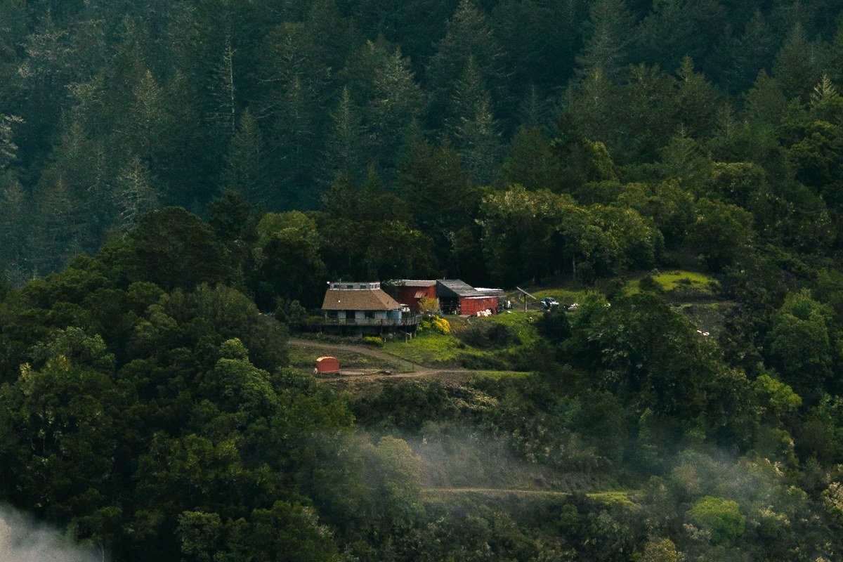
Start here, because almost nobody does. This is a surviving World War II early-warning radar installation, disguised during the war as an ordinary farmhouse and outbuildings so it wouldn’t draw attention from offshore lookouts or aircraft. It sits off Requa Road near the mouth of the Klamath River, and on a foggy October morning the buildings standing alone in the mist have a stillness that’s different from anywhere else on this list, less postcard, more haunted house with a government file number.
Worth knowing: No fee, no permit, a small interpretive sign on site explains the disguise. Access is via a short walk from a pullout on Requa Road. Skip if: you’re only after redwood-canopy fog shots. This stop is about atmosphere and history, not trees.
Lady Bird Johnson Grove, California
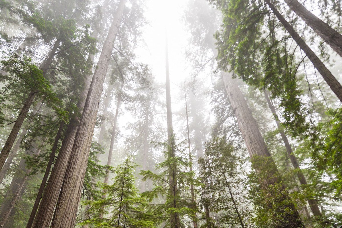
This is the grove that shows up in half the fog photos you’ve ever pinned, and there’s a reason: it sits on a ridge above the fog line, so you get moments where you’re standing in clear air looking down into a sea of mist with just the treetops poking through. The loop trail is 1.4 miles, flat, and short enough to do twice if the light changes. Go in the first two hours after sunrise in late September or October, when nights are cold enough to build fog but days are still clear enough to burn it off into that ridge-top inversion.
Worth knowing: There’s no fee to enter this unit of Redwood National Park. The parking area off Bald Hills Road is small and fills by mid-morning in summer. Skip if: you need cell service (there’s none up here) or want dramatic elevation change (this loop is nearly flat).
Fern Canyon, California
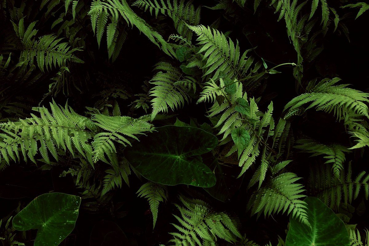
Fog behaves differently in a canyon than on a ridge. Here it pools low and thick between fifty-foot fern-covered walls, and the light that filters through turns green before it turns gold. Reach it via Davison Road, a mostly unpaved stretch that’s rough on low-clearance cars. According to NPS, Davison Road requires a reservation and permit for private vehicles during the peak season (roughly Memorial Day through September), and the road closes seasonally in winter due to creek flooding and storm damage.
Worth knowing: The seasonal vehicle permit is booked through recreation.gov and runs a modest per-vehicle fee on top of standard park access; check the current Redwood National and State Parks site for exact dates and cost, since they shift year to year. Skip if: you’re driving anything without decent ground clearance after rain, or you’re not up for wading a shallow creek on foot.
Tall Trees Grove, California
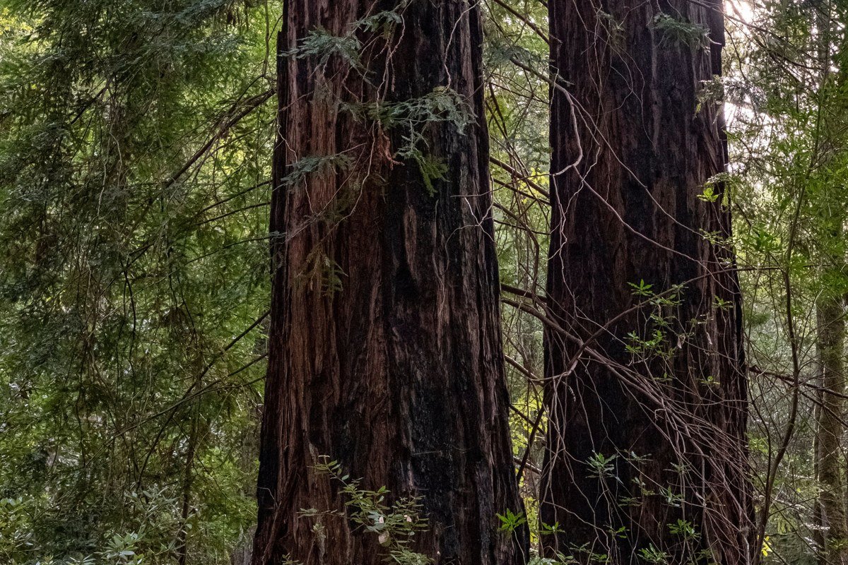
Home to some of the tallest trees on the planet, and getting there is part of the filter. You need a free access permit and a gate code for Tall Trees Access Road, both issued same-day at the Thomas H. Kuchel Visitor Center in Orick, first-come, no advance booking. The grove sits deep enough in the valley that fog lingers well past noon some mornings, backlighting trunks that vanish into canopy you can’t see the top of.
Worth knowing: Permits are capped per day, so arrive at the visitor center when it opens if you want a morning slot. There’s no fee for the permit itself. Skip if: you’re pressed for time. This is a half-day commitment with a steep six-mile round trip descent and climb back out.
Stout Grove, California
Inside Jedediah Smith Redwoods State Park, reached via the unpaved but scenic Howland Hill Road off South Fork Road near Crescent City. Stout Grove sits in a river floodplain, and on foggy mornings the mist hangs at exactly trunk height, clear canopy above, clear ground below, a solid band of white in between. It photographs like nothing else on this list, and the short spur to the Smith River overlook at the grove’s edge is worth the extra five minutes.
Worth knowing: Jedediah Smith is a state park, so expect an $8 to $10 day-use fee (confirm current rate on the California State Parks site). Howland Hill Road is narrow, unpaved, and closes if storms bring down debris. Skip if: you’re driving a full-size RV. The road’s too tight for anything large.
Del Norte Coast Redwoods, California
The redwoods here grow close enough to the ocean that marine fog and forest fog sometimes meet mid-slope, producing some of the eeriest light on the coast. The Damnation Creek Trail drops about 1,100 feet over 2.2 miles through old growth before reaching the shoreline, and the shift from dense fogged canopy to open bluff is abrupt enough to feel staged. November mornings, right after the first real storms clear out, tend to give the sharpest fog-to-clear contrast.
Worth knowing: Trailhead parking is a small pullout on Highway 101 with no signage visible from the road shoulder, easy to miss at highway speed. Entry carries the standard $8 to $10 Del Norte Coast Redwoods day-use fee. Skip if: steep, sustained elevation loss and gain isn’t your thing. This trail earns its views the hard way, and the climb back out is the real test.
Mistakes people make
- Showing up at midday expecting fog. The best light is in the two to three hours after sunrise, often gone by 10 or 11am. Summer afternoons on the coast can flip the other way entirely, socked in so thick you can’t see past the first row of trees.
- Treating “Redwood National Park” as one park with one entrance. It’s a patchwork of national and state park land (Redwood National Park plus Jedediah Smith, Del Norte Coast, and Prairie Creek Redwoods State Parks), each with different fees, hours, and permit rules. Check which unit you’re actually headed to on the NPS site before you plan a route.
- Skipping the shoulder seasons. July and August fog can sit unbroken for days without lifting. December through February brings heavy rain and closures on Davison Road and sections of Howland Hill Road. Late September through October gives the most reliable mix of cold, fog-building nights and clear, photogenic mornings before anything burns off.
If you’re coming from San Francisco, budget a full five to six hours of driving up Highway 101 to reach the park’s southern entrances near Orick, more if you’re continuing north toward Crescent City. It’s a long day trip and a much better overnight or multi-day one.