
Drive I-90 across South Dakota in late September, around 6:30pm, and the badlands go the color of a struck match for maybe twenty minutes. Nobody plans a trip around that light, because nobody thinks of South Dakota as the southwest at all. That’s the gap this post is trying to close.
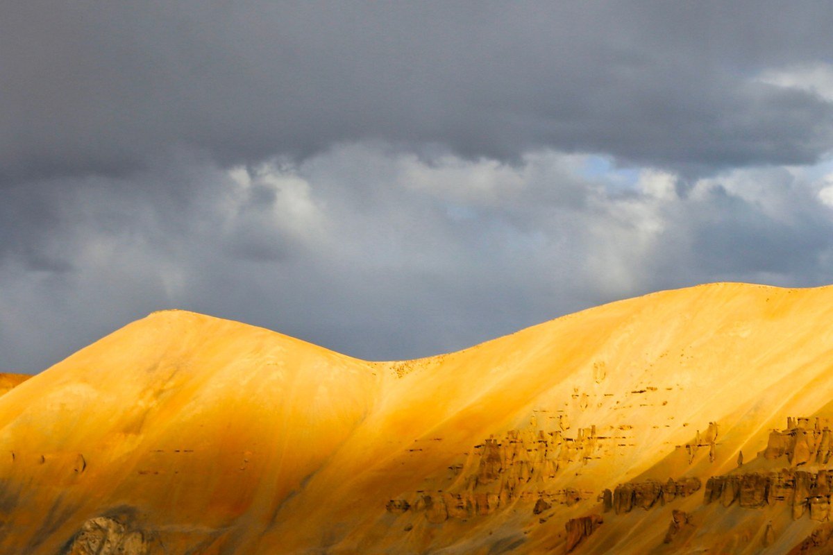
These ten overlooks come from three unrelated landscapes that happen to share a tan-and-rust palette: volcanic uplift in Arizona and New Mexico, ancient seabed erosion in South Dakota, and a river-carved fault block in West Texas. All of them turn brutal in July and August and reward spring and fall with clear, cool, low-humidity air. Winter is milder than people expect at lower elevations, especially across southern Arizona and the Big Bend basin, which is worth knowing if you’re planning around the holidays rather than around summer break.
This is for travelers who’ve already done Zion and Bryce and want an itinerary that doesn’t retrace the same five Utah parking lots as everyone else’s Pinterest board.
The Badlands and Black Hills, South Dakota
South Dakota rarely shows up on a desert-Southwest list, and that’s the point. The terrain here (eroded prairie, not sandstone slot canyon) is a genuinely different experience within one long day’s drive of Denver, or a longer one from Minneapolis.
Badlands National Park, South Dakota
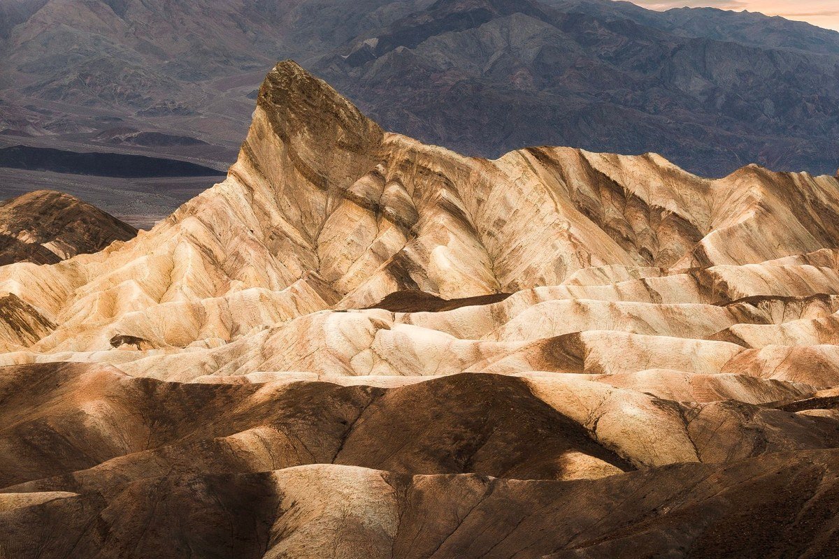
The Door and Window overlooks sit right off the Loop Road and need no hiking to deliver a full jaw-drop, which matters if you’re traveling with kids and don’t want a mile of scrambling before payoff. Come between late spring and early fall; winter closes nothing officially, but ice on the overlook trails makes for slow, careful footing. Bighorn sheep show up on the Pinnacles Overlook cliffs often enough that people start expecting it, which is its own kind of luck. One honest catch: cell service drops out for long stretches of the Loop Road, so download offline maps before you go.
Pair it with: Wall Drug is 8 miles up the road, a nothing detour if you want the kitsch break before pushing further into the park.
Custer State Park, South Dakota
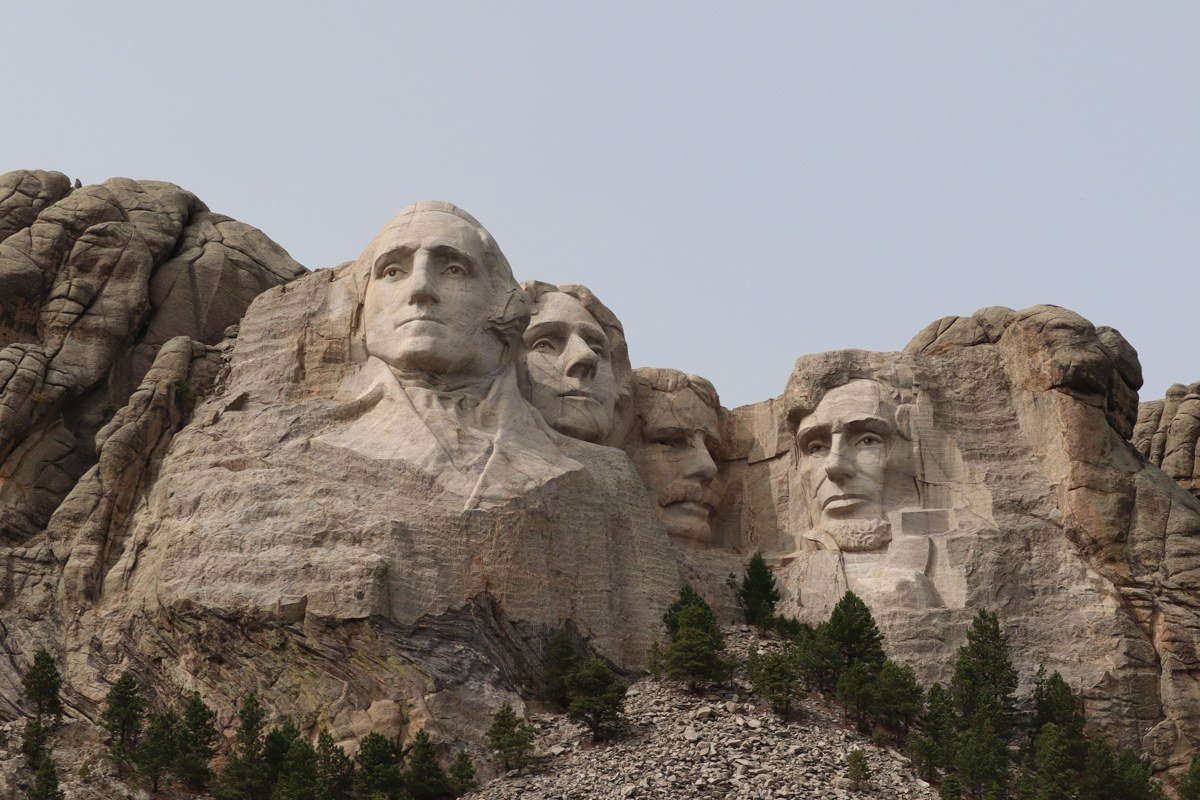
This isn’t desert in the strict sense, it’s granite spires and ponderosa forest, but the Needles Highway and Wildlife Loop Road deliver the same wide-open-country payoff with bison instead of bighorns. The Needles Eye tunnel is barely wider than a full-size pickup (about 8 feet 4 inches), so know your vehicle’s width before you commit to that stretch. Fall, late September into October, brings aspen color against the granite that most visitors never plan for because they assume this is a summer-only park.
For a two-park day: Custer State Park to Badlands National Park runs about 90 minutes, so it’s genuinely doable without rushing either one.
The Big Bend country, Texas
Big Bend is the most underrated national park on this list, mostly because it’s a serious haul from anywhere. The nearest sizable airport is El Paso, still a 4 to 5 hour drive, which filters out the crowds that swamp Zion. What’s left is some of the darkest night sky and least-crowded canyon rim in the country. Entrance is $30 per vehicle, good for seven days.
Santa Elena Canyon Overlook, Big Bend National Park, Texas
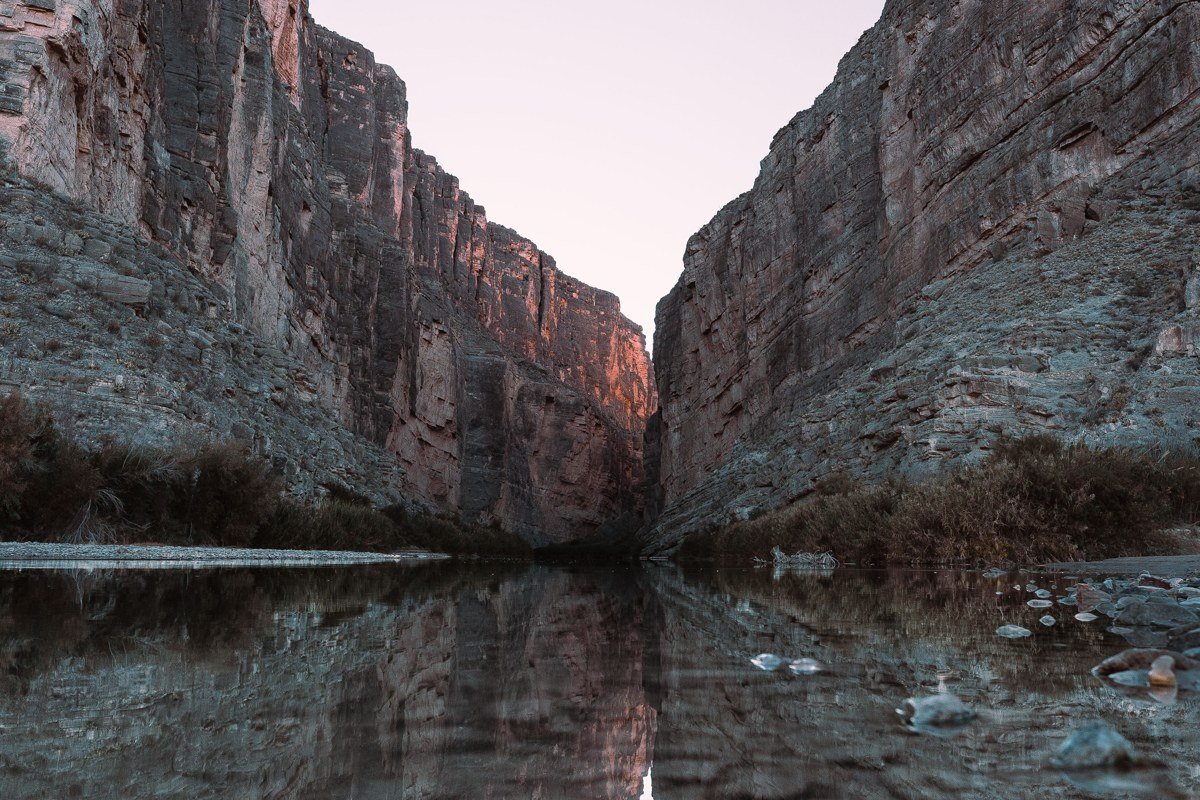
The Rio Grande cuts a 1,500-foot limestone gorge here, and the overlook at the end of the short trail puts you at river level looking straight up both walls at once, half in the US and half in Mexico. Spring wildflower season (March into April) pairs with pleasant highs, while July and August routinely push past 100 degrees and are genuinely miserable for anything but a very early start. There’s no fee station right at the trailhead, but the park entrance fee is checked well before you get this deep in, so don’t skip that gate.
About an hour from here, the Chisos Basin is worth the climb in elevation for the temperature drop alone.
Chisos Basin Rim, Big Bend National Park, Texas
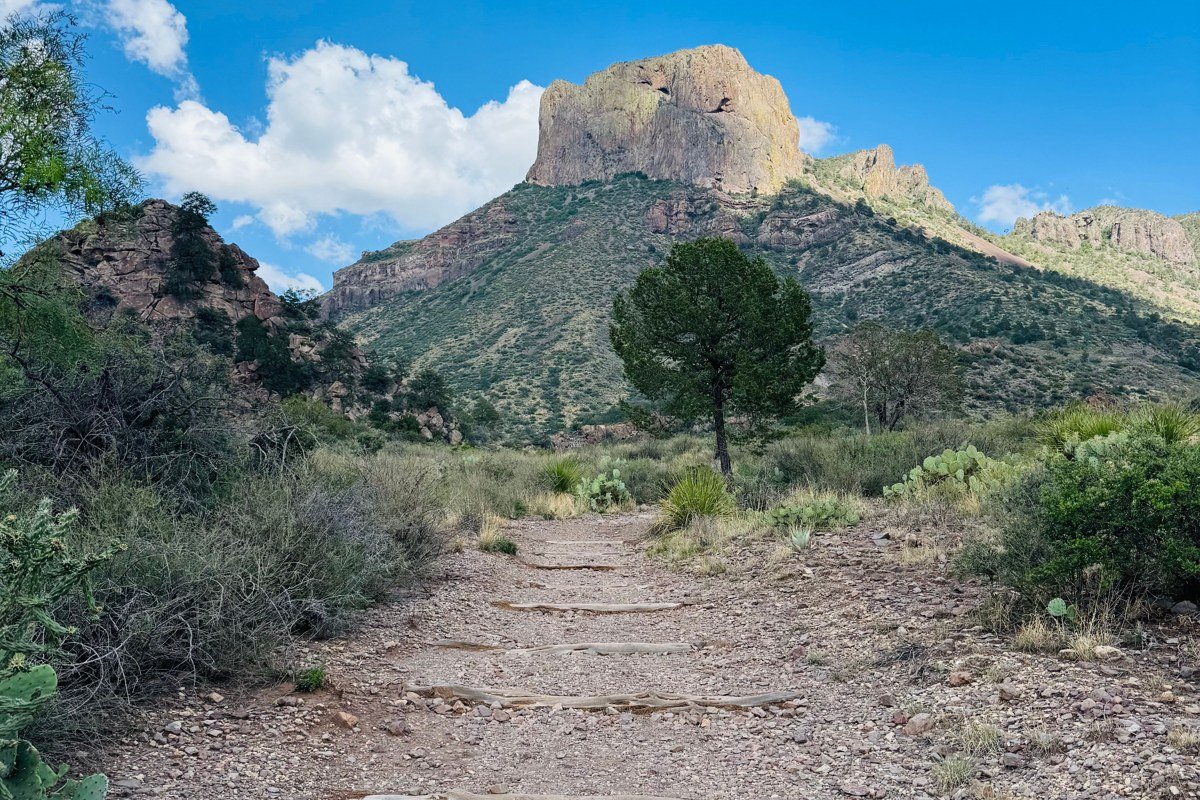
The Window View Trail from the Basin is short and paved enough for most fitness levels, ending at a natural rock notch that frames the desert below like a keyhole. This is the coolest corner of the park by several degrees, which makes it the smart basecamp in the shoulder months rather than deep winter. Lodging inside the park is limited (fewer than 80 rooms total at the Chisos Mountains Lodge) and books out well ahead of holiday weekends, so a trip planned around Thanksgiving or spring break needs reservations locked months out, not weeks.
From the Basin, the Ross Maxwell Scenic Drive overlooks are roughly 30 minutes away, a low-effort add-on for sunset.
Ross Maxwell Scenic Drive, Big Bend National Park, Texas
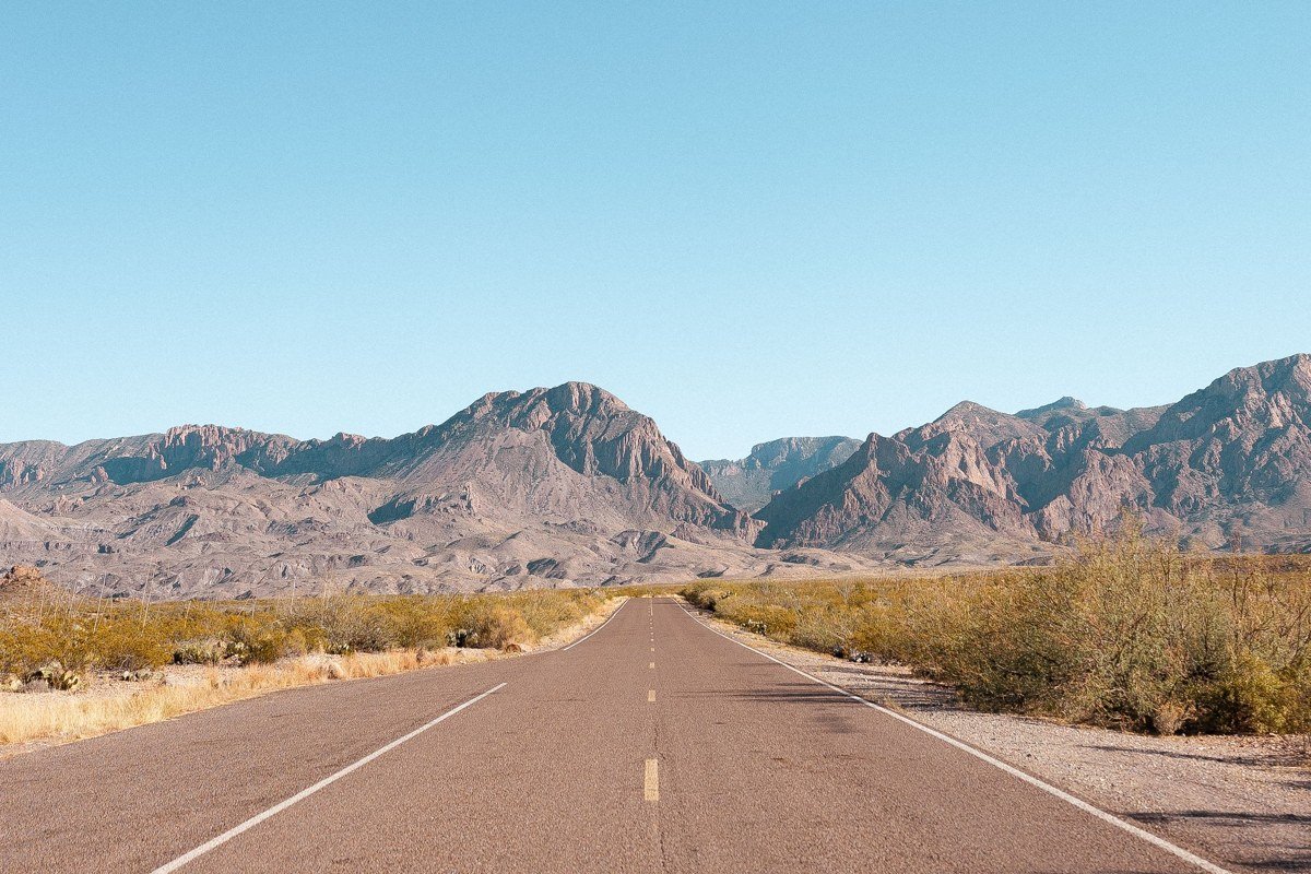
This 30-mile paved road strings together a half dozen pullouts (Sotol Vista, Mule Ears, Tuff Canyon) that between them show off almost every landform Big Bend has: volcanic remnants, badlands, and river canyon. Sotol Vista, around mile marker 12, is worth the stop for the sheer scale of the view back toward Santa Elena. Drive it at golden hour if you can manage the timing; the desert varnish on the rock faces catches the low light in a way flat midday sun completely misses.
The road’s southern end loops back to Santa Elena Canyon in about 20 minutes, closing the circuit neatly.
Southern Arizona beyond the Grand Canyon
Arizona gets plenty of attention already, mostly for one canyon. The southern part of the state, closer to Phoenix and Tucson than to the Grand Canyon, offers a different kind of desert overlook entirely: saguaro forest and sky islands instead of layered sandstone.
Gates Pass, Tucson, Arizona
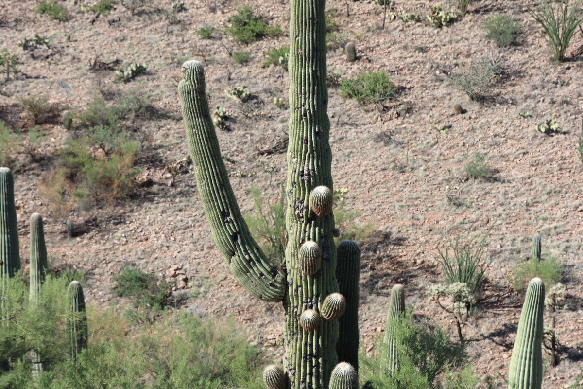
A 20-minute drive from downtown Tucson, this overlook is the single most reliable sunset spot in the region, with saguaro silhouettes stacked against a sky that goes orange, then pink, then a deep desert blue. It’s popular enough on weekends that the small roadside pullouts fill fast; arrive 30 to 45 minutes before sunset if you want a real spot rather than a squeeze. Easy to add on if you’re coming down from Phoenix, since Tucson is under two hours south on I-10.
Saguaro National Park West is about 15 minutes further, an easy same-evening combination.
Saguaro National Park (West), Arizona
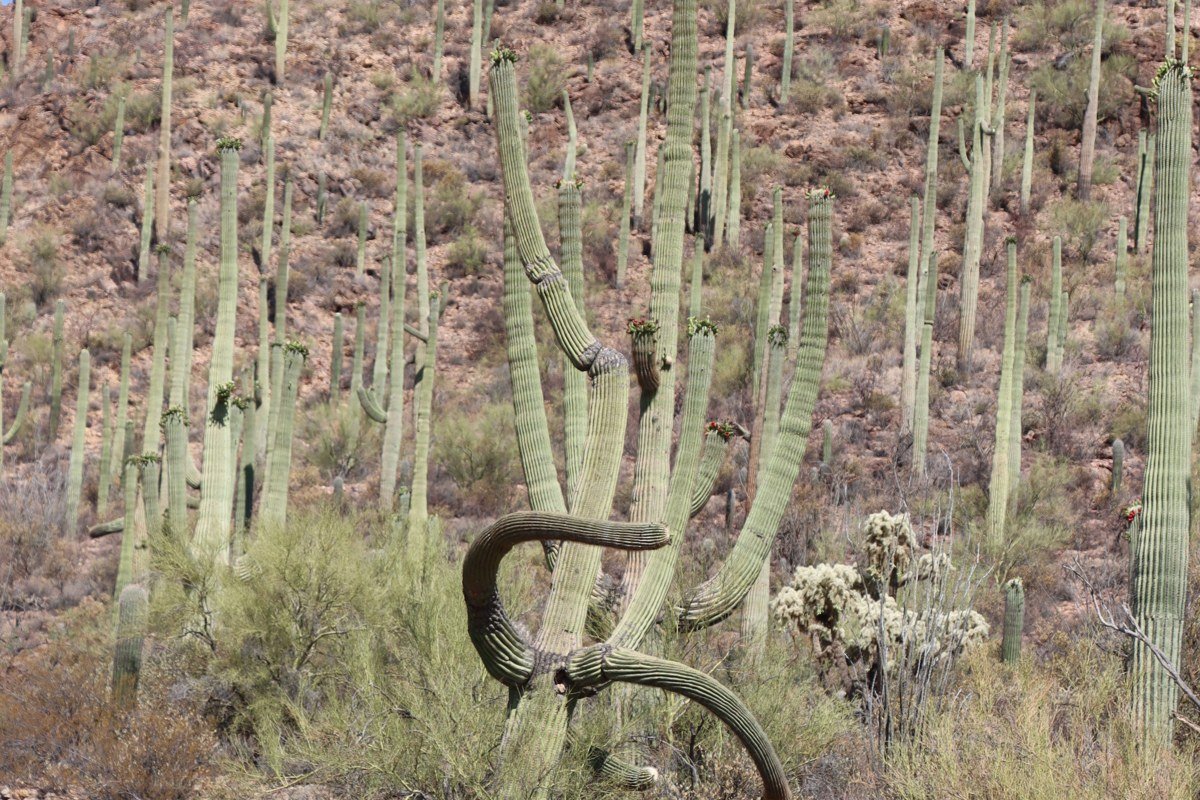
The Bajada Loop Drive is unpaved but graded and fine for most passenger cars in dry conditions; after rain, though, it can wash out into ruts that will rattle a low-clearance sedan. It winds through the densest saguaro forest most visitors will ever see. Skip the visitor center crowds and time your drive for the last two hours of daylight, when the cactus arms cast long shadows across the wash. December and January here are genuinely pleasant, arguably the best months in the entire state, which makes this a smart core stop when you want warmth over cold without Big Bend’s summer extremes.
Loop back to Gates Pass afterward, the same 15-minute link, best done as one golden hour run rather than two separate trips.
Northern New Mexico canyon country
New Mexico rarely gets top billing next to its neighbors, but the canyon and mesa country around Santa Fe and Taos delivers a quieter, less-photographed version of the same red-rock drama, with far thinner crowds and a genuinely different food and culture layer built in.
Rio Grande Gorge Overlook, near Taos, New Mexico
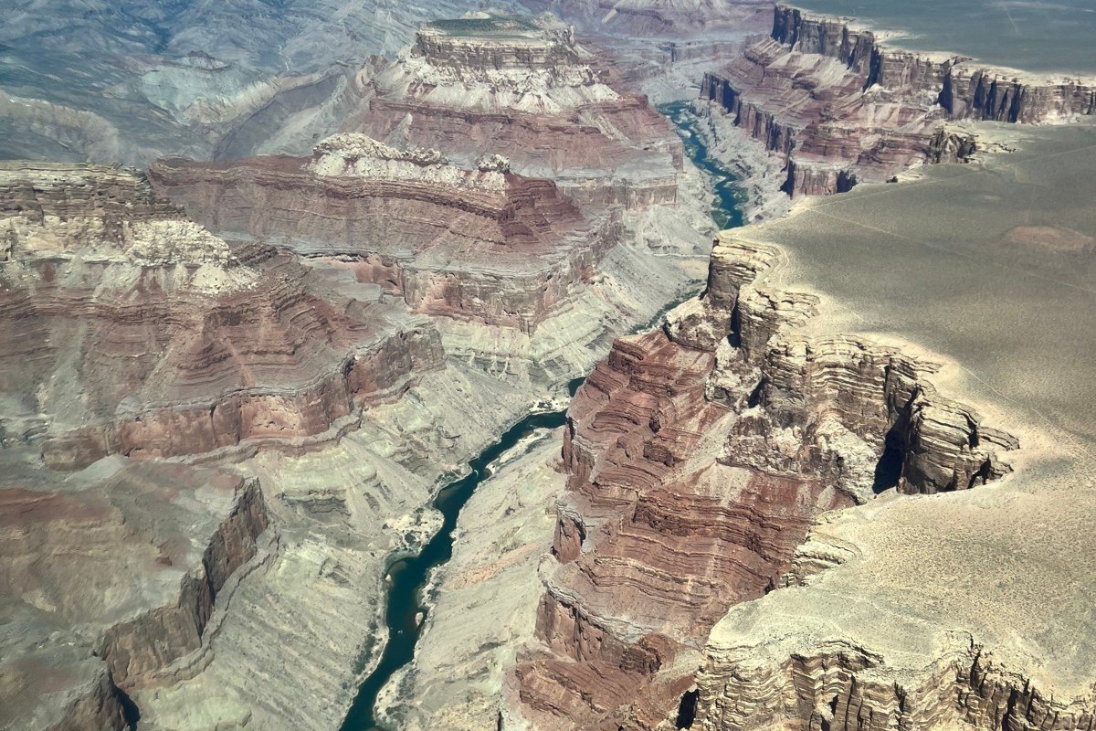
The gorge appears almost without warning on the high plateau north of Taos, an 800-foot slit in flat grassland that the highway bridge crosses without much fanfare from the road itself. Walk out onto the pedestrian lane of the bridge for the real vertigo-inducing view straight down to the river. Wind here is no joke, especially in spring, so this is not the stop for loose hats or nervous drone pilots.
Taos Pueblo is about 20 minutes away, pairing raw geology with one of the oldest continuously inhabited communities in the country.
Bandelier National Monument overlooks, New Mexico
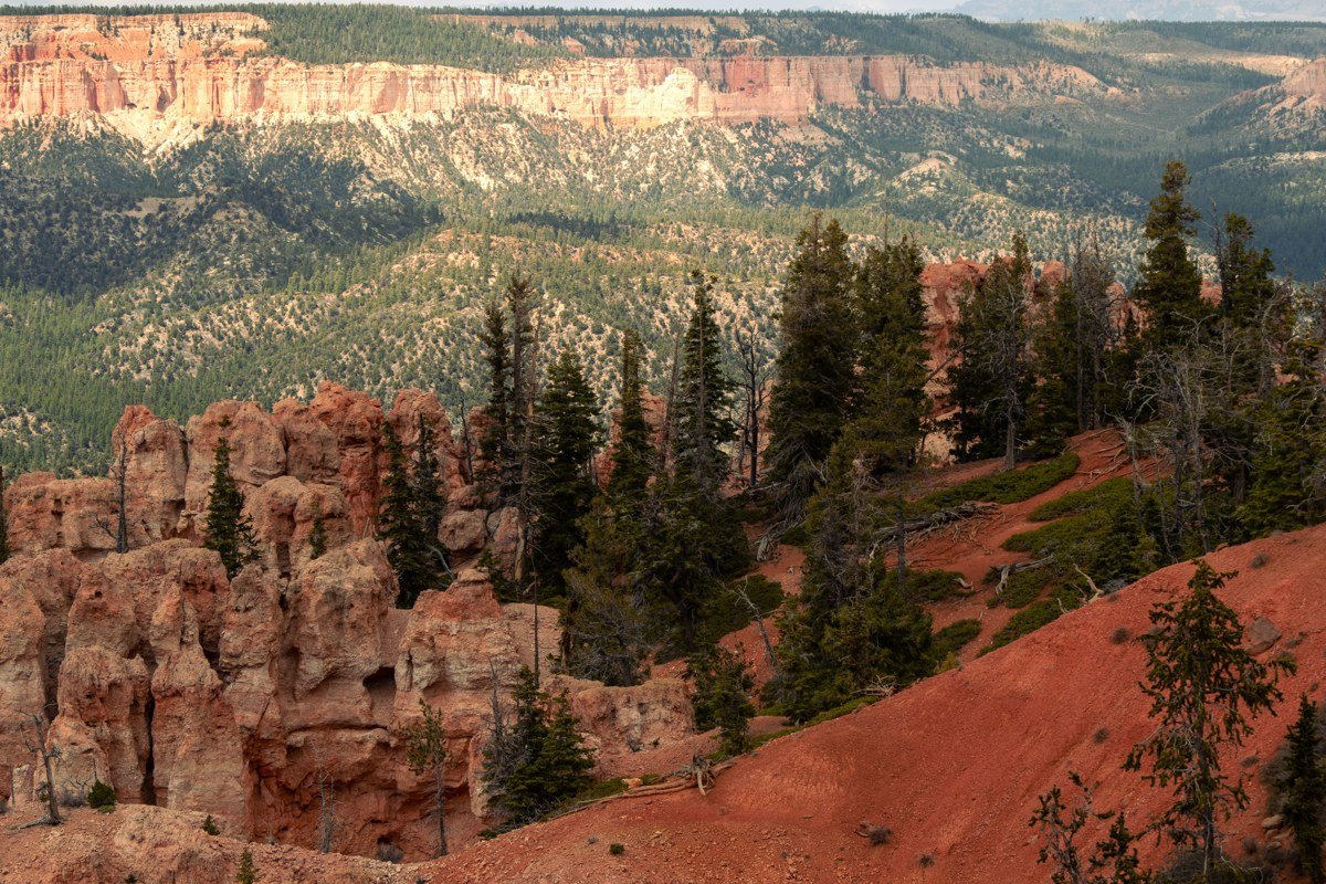
The Main Loop Trail through Frijoles Canyon gives overlook-style views down into a canyon dotted with ancestral Puebloan cliff dwellings you can actually climb into via wooden ladders. Summer weekends require a timed shuttle from White Rock, since the monument’s own parking lot holds only about 45 vehicles and fills before 9am; check the current shuttle schedule before you drive up expecting to park at the visitor center. This one earns a spot on a trip with kids for the hands-on climbing factor, something the more hands-off overlooks elsewhere on this list can’t match.
Budget about 90 minutes to reach the Rio Grande Gorge Overlook from here, enough for a full and varied day of canyon country.
If you’ve got a long weekend and are choosing one cluster, let the season decide it. Big Bend rewards a winter or early spring trip, when the rest of the country is grey and Texas heat hasn’t arrived yet. The Badlands and Black Hills are a summer-into-fall pick, ideally paired with a broader South Dakota loop since it’s too far from anywhere to justify a short visit alone. Southern Arizona is the most flexible of the four, workable for a January getaway or a shoulder-season trip from Phoenix with almost no bad months except peak summer. New Mexico splits the difference: cooler than Arizona in summer, milder than the Badlands in winter, and the easiest cluster for a dog-friendly trip, since most of these overlooks involve short walks rather than permitted backcountry trails.