
Most people treat the villages ringing Salar de Uyuni as speed bumps between Instagram coordinates. That is a genuine mistake, because the adobe settlements, collapsed railroad towns, and wind-scoured hamlets circling the world’s largest salt flat carry a quieter, stranger beauty than the flat itself. This list is for the traveler who wants the full picture, not just the mirror-water shot.
1. Colchani
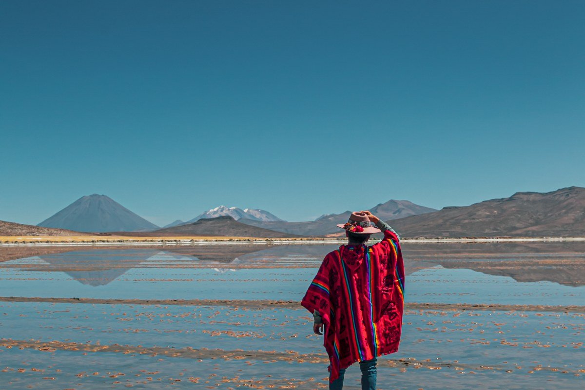
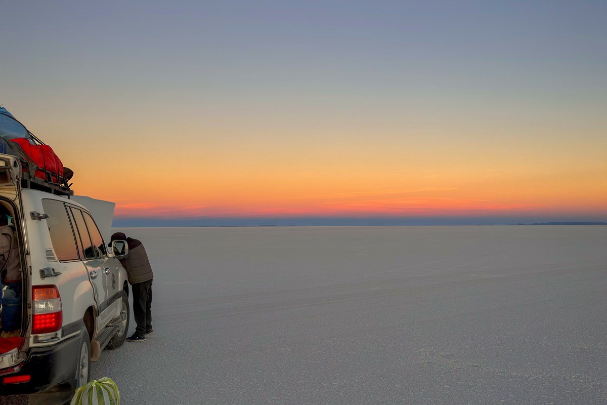
Colchani (3,656 m) sits at the eastern edge of the flat, close enough that salt dust settles on every surface and the air tastes faintly mineral. It is the main salt-harvesting community, and the low white cones of hand-piled salt stacked outside family plots are more photogenic than they sound, especially when workers in bright aguayo-wrapped bundles move through them at dawn. The small artisan market sells salt sculptures and quinoa products made by families who have worked this land for generations, not the mass-produced knockoffs you find in Uyuni town.
Timing matters more here than almost anywhere else on the circuit. During the dry season (May through October), arriving before 8 a.m. gives you the salt mounds and pale flat light almost entirely to yourself. During the reflection season (November through March), the first tour jeeps from Uyuni typically arrive earlier, sometimes by 7 a.m., because operators are chasing the same waterlogged surface. If the reflection is your priority, aim for first light, roughly 6 to 6:30 a.m., rather than using the dry-season 8 a.m. benchmark as your guide.
[Link placeholder: Salar de Uyuni reflection season timing and water depth guide]
2. Llica
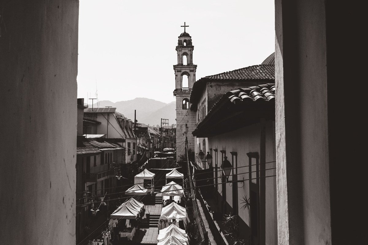
Llica occupies the far northwestern edge of the salt flat and sees a fraction of the tourists who loop the more popular southern circuit. The town’s colonial-era church faces a dusty plaza where older women sell chicha and dried llama meat from plastic tubs, and the surrounding mud-brick architecture has a functional, unornamented quality that photographs well in flat midday light, when shadows pool hard under every doorway. Llica also sits near the Tunupa volcano access route, making it a legitimate base if you want to attempt the crater hike without the crowds that stage from Coquesa.
Getting here requires a full day of driving from Uyuni on unpaved roads, and the route carries risks that most itinerary blogs understate. Seasonal river crossings on the approach from the south can become impassable after heavy rain, and water levels shift within hours. The road is sometimes only safely navigable with a local driver who has checked current conditions that morning, not one relying on a route driven two weeks earlier. Ask your driver-guide explicitly whether they know the Llica road in the current season before committing to it. There is no reliable accommodation in Llica itself, so the logistics require either a very early start from a closer overnight stop or camping equipment.
[Link placeholder: Tunupa volcano crater hike full guide, northern approach via Llica]
3. Coquesa and the Tunupa Mummies
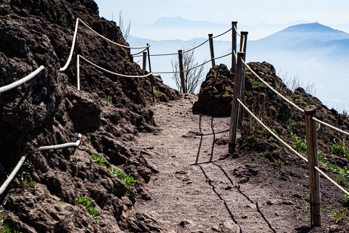
Coquesa (3,670 m) clings to the lower slopes of Volcan Tunupa on the northern shore and holds what is arguably the most overlooked archaeological site in the entire Salar de Uyuni region. A short, steep walk above the village leads to a cave cemetery where naturally mummified human remains, some pre-Columbian, some from the early colonial period, rest in a raw stone chamber with almost no protective barrier. There are no ticket booths, no audio guides, and only an occasional local guide to offer context. The village itself is small enough that a single family often staffs the informal entry point.
Two practical notes that guidebooks tend to omit. The path to the cemetery is loose and rocky, and after rain it becomes genuinely slippery. Sandals or light trainers are inappropriate footwear. Go in the late afternoon when the flat turns amber below you and the volcano’s shadow stretches toward the horizon, and bring something to offer the community because the site runs on goodwill, not infrastructure.
[Link placeholder: Tunupa volcano hike guide, southern approach via Coquesa]
4. San Juan de Rosario
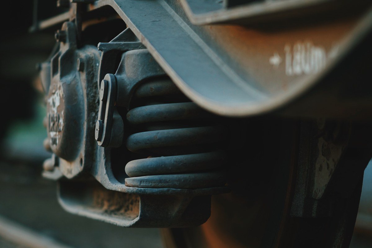
San Juan is best known as the overnight stop on the three-day Uyuni-to-Atacama circuit, which means most visitors see it only as a place to sleep. The real draw is the local train cemetery that supplements Uyuni’s famous one: rusting locomotives and freight cars sit in the scrub south of town, their surfaces painted with community murals by local residents rather than visiting street artists, giving the work a different register from the curated interventions you see elsewhere. Unlike the shifting-mural claim sometimes repeated online, these paintings are fixed works that weather and fade over time rather than rotating seasonally.
San Juan also has a small community museum, the Museo de la Provincia Avaroa, dedicated to the history of the region. Its collection is modest in scale but genuine in scope, covering colonial-era silver work, pre-Columbian ceramic fragments, and railway-era administrative documents from the Antofagasta-Bolivia line. For a village of this size, that range makes the “punches above its weight” description fair. The high-altitude cold here is brutal after sunset, dropping well below zero Celsius even in the dry season, so pack for this stop as though you are camping. The reward is a genuinely starry sky with almost zero light pollution and the salt flat glowing faintly white to the north.
[Link placeholder: Uyuni train cemetery full writeup and photography guide]
5. Julaca
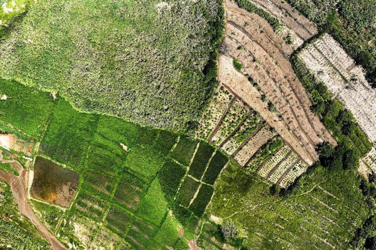
Julaca (3,660 m) does not appear on most travel blogs, which is half of its appeal. This compact farming settlement on the southern rim of the flat sits in a shallow valley where quinoa and cañahua fields create unexpected patches of green and burgundy against the beige altiplano. The combination of the multi-colored crop rows, the crumbling adobe compound walls, and the utter absence of other visitors makes it a legitimately rare visual find. A handful of local women operate a small weaving cooperative out of a private home, and they will usually let you watch or purchase directly if you ask respectfully.
The road passing through Julaca connects southward to the Eduardo Avaroa Andean Fauna National Reserve. If you are continuing in that direction, note that the reserve entry checkpoint is located near the village of Quetena Chico, roughly 100 km south, and the fee for foreign visitors is currently collected there in bolivianos. It is worth confirming the current fee before departure, as it has changed periodically. Stopping in Julaca adds no meaningful distance to that route, just time, which is exactly the point.
[Link placeholder: Eduardo Avaroa Andean Fauna National Reserve complete entry guide]
6. Tahua
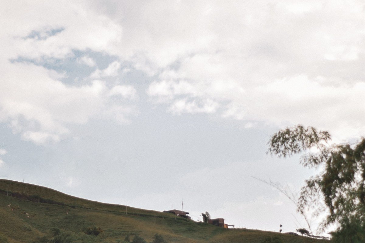
Tahua (3,680 m) wraps around the northeastern shore of the flat where a shallow seasonal lagoon forms between the salt and the village fields, creating a secondary reflection pool that rivals anything on the main flat. Unlike the heavily trafficked sunrise spots near the southern edge, Tahua’s reflections are surrounded by totora reed beds, grazing llamas, and the visual anchor of Tunupa rising steeply behind the rooftops.
The community here has invested in a small hospedaje with rooftop access that is worth every boliviano for the view at first light. Look for the family-run place on the north shore of the village, facing the lagoon, which is the only property in Tahua marketing rooftop access and can be found on booking platforms under “Tahua” combined with “salar” and “north shore,” or by asking locally for the hospedaje con terraza. Because Tahua is a full day’s drive from Uyuni town, visitors tend to stay at least one night, which meaningfully changes the quality of the interaction with place. If you are visiting between January and April, the waterlogged edge roads require a driver with genuine local knowledge of current conditions, not just a GPS. The standing water can conceal soft ground that will swallow a jeep to its axles.
[Link placeholder: Salar de Uyuni northern circuit itinerary, Tahua overnight guide]
7. Chiguana
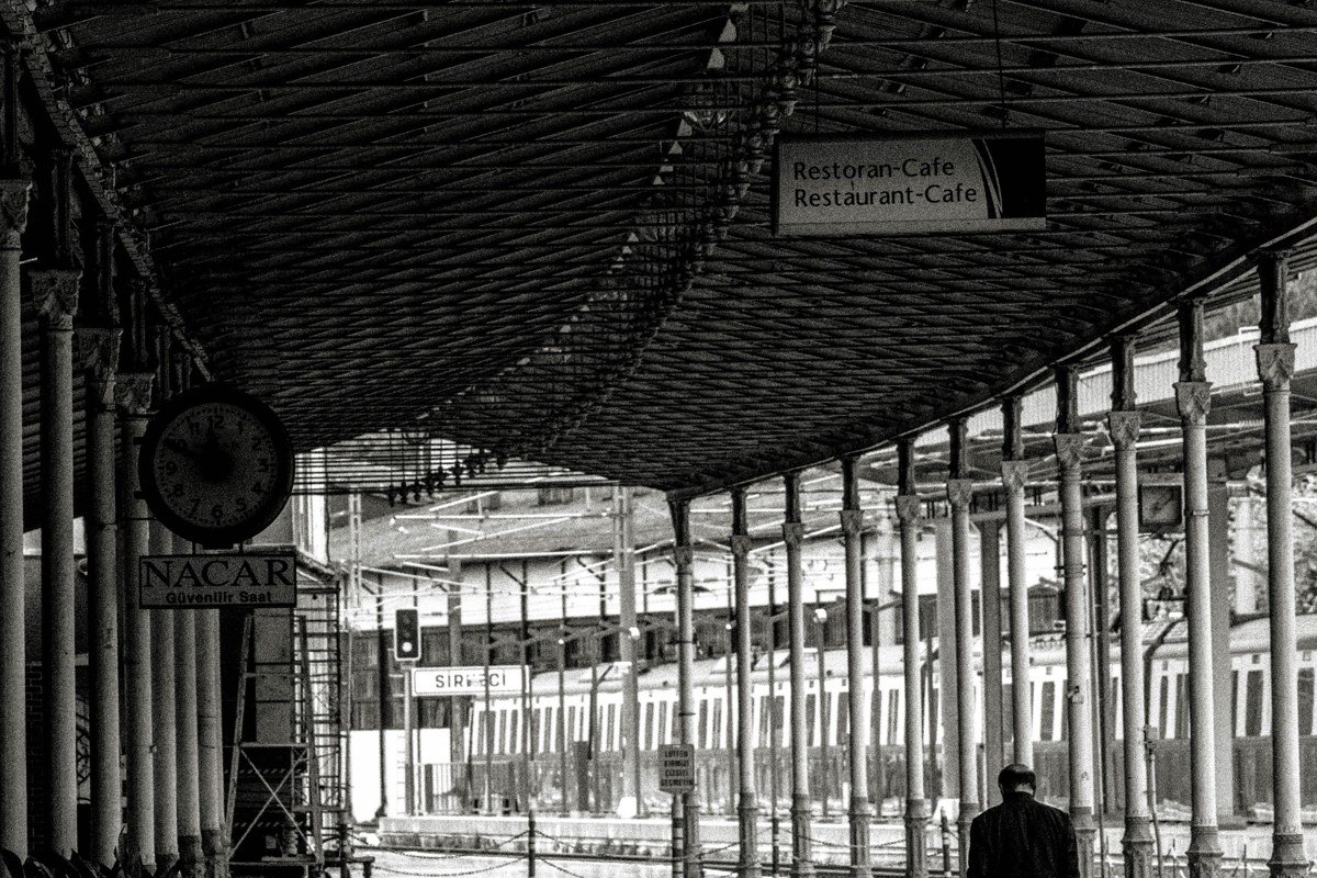
Chiguana is less a village than a ghost-station, a former rail junction that served the Antofagasta-Bolivia railway line and now consists of a few collapsing structures, a decommissioned platform, and a small border control facility that sees occasional traffic. The landscape here is extraordinarily desolate even by altiplano standards: the Chiguana salt flat, smaller than Uyuni but completely uncrowded, sits beside the old railroad grade, and the Ollagüe volcano smokes faintly on the Chilean side of the border.
Photographically, the decaying rail infrastructure against the volcanic skyline fits the Mystic Outlands aesthetic currently driving Pinterest boards and long-form travel content. There is no accommodation and no food supply of any kind, so treat this as a deliberate stop within a longer driving day rather than a destination. Carry water, because the wind here is constant and desiccating. The light is best in the late afternoon when the volcano catches the last direct sun.
[Link placeholder: Antofagasta-Bolivia railway history and ghost-station photography guide]
8. Salinas de Garci Mendoza
Salinas de Garci Mendoza (3,700 m) sits northwest of the flat near the Coipasa salt lake and is the kind of town that rewards travelers who have already seen the main Salar de Uyuni circuit and want something genuinely different. It functions as the agricultural capital of the Bolivian quinoa belt, and during harvest season (roughly April through June) the hillsides outside town turn deep red with drying grain laid out in traditional stone terraces.
The colonial church on the main plaza has an interior with handpainted murals that local families have maintained without outside restoration funding, giving them an honest, lived-in quality that professionally conserved spaces rarely have. The regional festival circuit in May includes music and textile displays connected to the quinoa harvest that are not staged for tourists. Getting here requires a deliberate detour northwest from the main Uyuni circuits. The road west from the flat toward Coipasa is unmarked in stretches and best driven with a driver who knows it. For a certain kind of travel, that inconvenience is the entire value.
[Link placeholder: Bolivian quinoa belt travel guide, Salinas de Garci Mendoza to Coipasa route]
Practical Takeaway
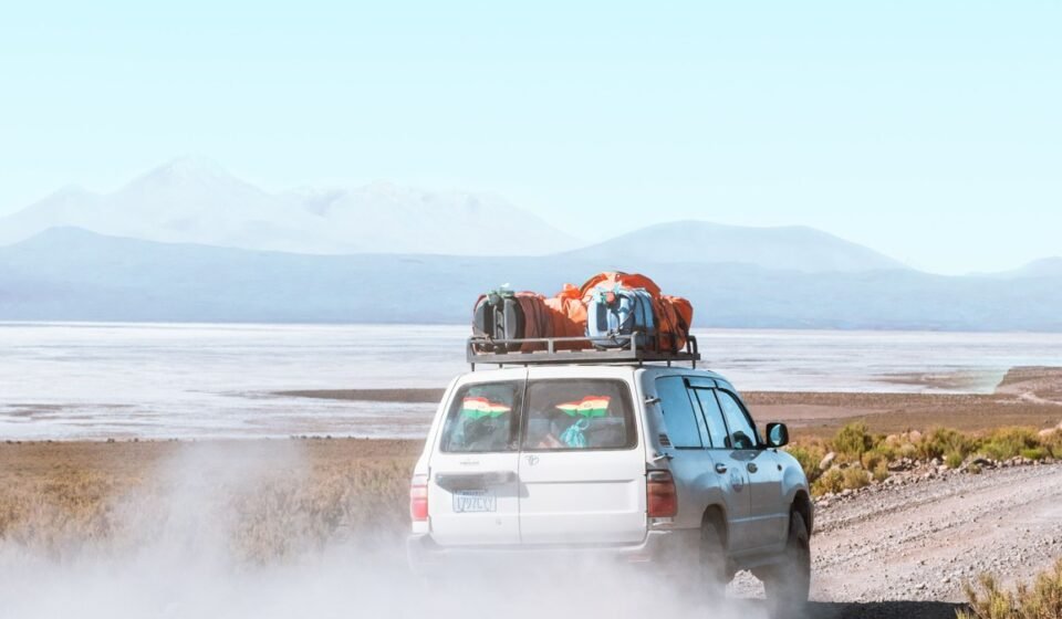
Hiring a driver-guide from Uyuni town rather than a packaged group tour gives you the flexibility to stop at villages like Julaca, Chiguana, and Llica that group itineraries skip by design. Expect to negotiate a three- to four-day private jeep itinerary to cover the best combination of these stops alongside the salt flat itself.
The ideal window for reflection conditions is November through January, but roads to outlying villages, particularly Llica and Tahua’s shore track, are at their most challenging during exactly this period. The villages are more accessible and roads drier between May and August. Plan your priorities accordingly rather than assuming one season is simply better than another.
On acclimatization: the Practical Takeaway range of 3,600 to 4,800 meters covers the full circuit, but the villages in this list sit in a narrower band. Colchani is at 3,656 m, Julaca at 3,660 m, Coquesa at 3,670 m, Tahua at 3,680 m, and Salinas de Garci Mendoza at 3,700 m. Chiguana and the Eduardo Avaroa reserve approach push closer to 4,500 m and above. If you are managing altitude sensitivity, the lower-elevation northern shore villages are meaningfully easier than the southern volcanic circuit, and that distinction is worth building into your itinerary sequence.
Carry cash in small boliviano denominations because card payments are effectively nonexistent outside Uyuni town. Allow two full days of acclimatization in Uyuni (3,670 m) or Potosi (4,090 m) before attempting the longer drives. The villages listed here are not set pieces. They are communities, and the quality of what you find in them scales directly with how much time you give.