
The Faroe Islands have been on Pinterest boards for years, but most visitors see the same three spots: Mulafossur, Sørvágsvatn, and the Kallur lighthouse. The faroe islands dramatic landscapes 2026 travelers are actually chasing sit deeper inland, under thicker fog, and sometimes underground. This list skips the postcard queue and goes straight to the places that rewire your sense of scale.
1. Enniberg Cliffs, Viðareiði
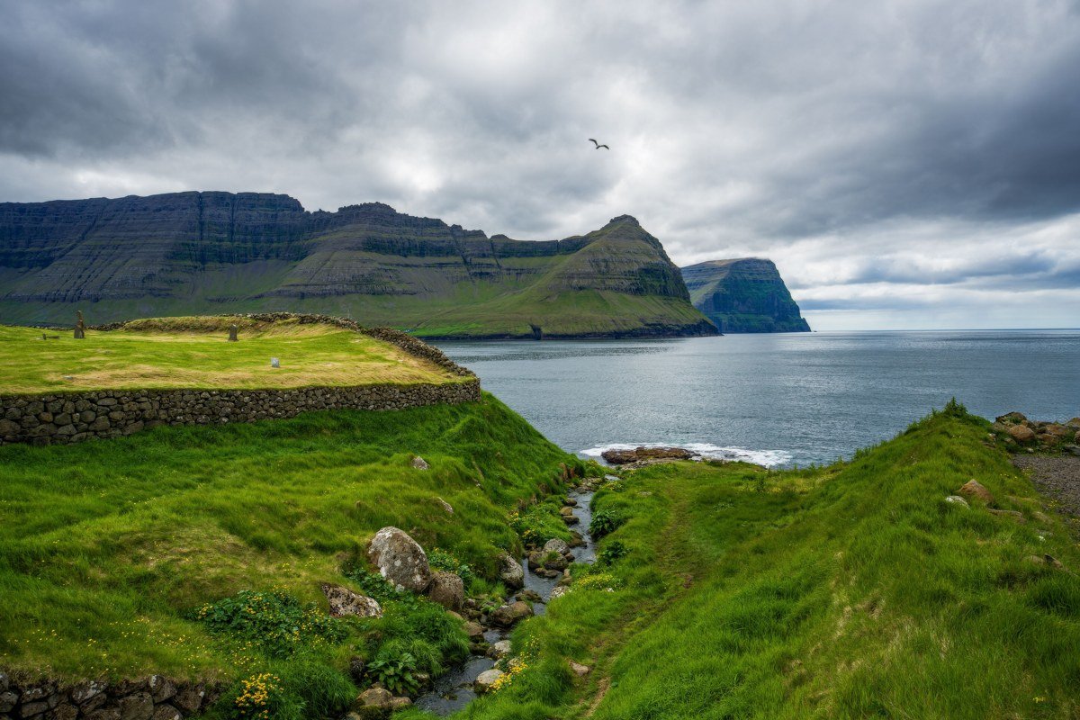
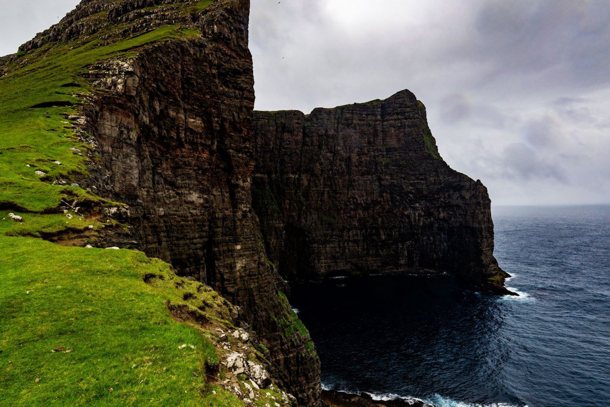
Enniberg is widely cited as one of the highest vertical sea cliffs in the world, dropping somewhere around 750 meters straight into the North Atlantic, but almost nobody walks the ridge above it because the trail is unmarked and the grass is genuinely slippery. The visual payoff is unlike anything on the standard itinerary: the cliff face disappears into cloud below you while the sea churns white at a distance that feels fictional. The best approach is from Viðareiði village, heading northeast along the spine of Viðoy island until the ridge narrows and the exposure starts to register in your knees. Go in late May or early June when the migratory seabirds are nesting in the cliff face and the light stays until almost midnight. Avoid this one in wet wind. The grass becomes a slip-and-slide and the drop is not forgiving. Before setting out, check current conditions with the Faroese Environment Agency (Umhvørvisstovan) or ask at the Viðareiði guesthouse, where locals can advise on whether the ridge is passable. This is one of those places where a five-minute conversation can change the decision.
2. Saksun Valley and the Tidal Lagoon
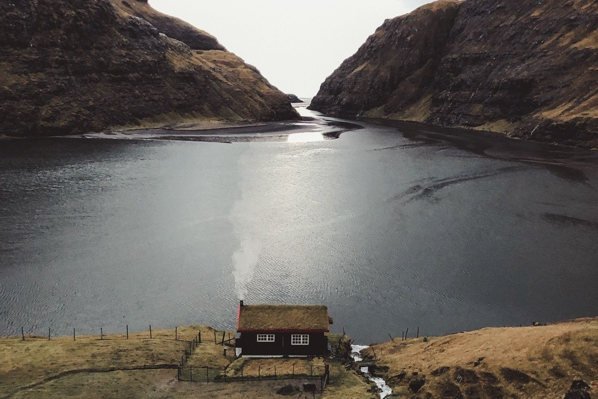
Saksun looks like someone dropped a Norse myth into a bowl of basalt. The valley funnels down to a lagoon that is cut off from the open sea by a narrow gorge, which means the water level shifts with the tide and the entire floor of the valley transforms over the course of a few hours. The turf-roofed church on the hillside, sitting above the lagoon on a ledge of green, is one of the most-photographed single frames in the Faroes, and it earns it. What most photographers miss is the walk up the valley behind the village, where the basalt columns start to appear in the cliff walls and the scale of the surrounding mountains becomes clearer. Arrive at low tide in the morning for the lagoon reflections, then stay for the cloud movement in the afternoon. The light bounces strangely in this valley because the surrounding peaks funnel and amplify it.
3. Slættaratindur, the Summit Interior
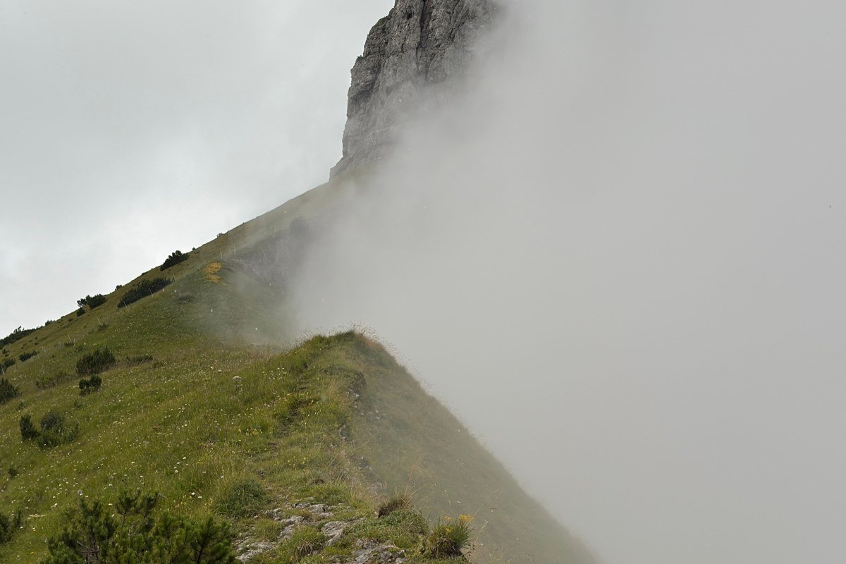
Slættaratindur is the highest point in the Faroes at 882 meters and the trail up from Eiði is direct and reasonably well-trodden, but the summit experience depends entirely on weather timing. On a clear day, you can identify Kunoy and Borðoy to the northeast, Streymoy spreading south, and on the sharpest days the flat silhouette of Sandoy beyond. The point where the fog layer tends to break is along the upper southeast ridge, roughly 200 meters below the top, where the terrain levels briefly before the final push. Stand there on a morning of partial cloud and the effect is specific: the lower islands are buried, only their highest ridgelines visible above the white, while the summit rock above you is in full sun. Pack layers even in summer because the temperature drop above 700 meters is significant and cloud can close in within 20 minutes. The ascent takes about two hours from Eiði and the descent is faster but harder on the knees on wet rock.
4. Funningur Valley, Eysturoy
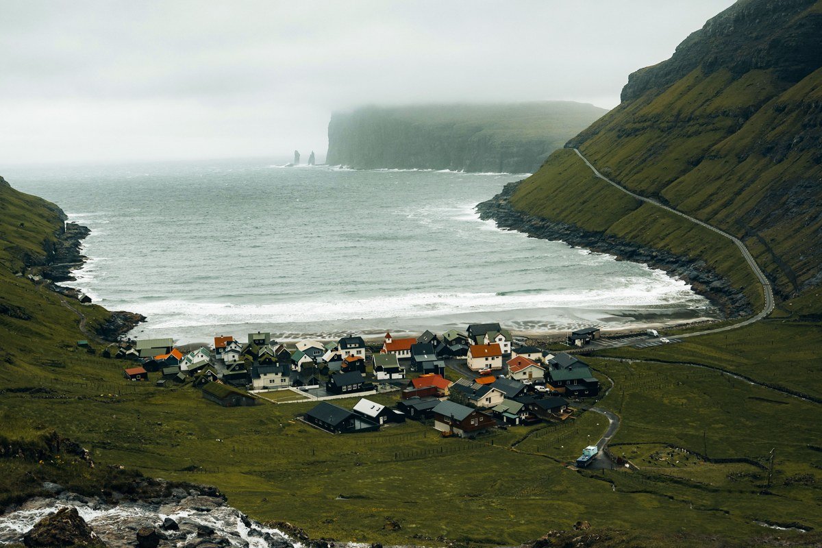
Funningur sits at the inner end of Funningsfjørður on Eysturoy, ringed by some of the steepest valley walls in the archipelago. The visual anchor is the small timber-framed church at the valley floor, white against black basalt slopes that rise almost vertically on three sides. What makes this valley different from the more-visited spots is the geology: the layered basalt here is exposed in such clean horizontal bands that the hillsides read like a stratigraphic diagram. On a morning after overnight rain, dozens of temporary waterfalls run down those bands simultaneously, appearing and disappearing as the cloud shifts. There is almost no foot traffic beyond the church itself. The road in from Funningur village is narrow and the drive alone, along the fjord edge, earns its place. Pull over before you reach the valley floor and walk the last kilometre to let the scale arrive properly.
5. Gjógv, the Natural Harbor Gorge
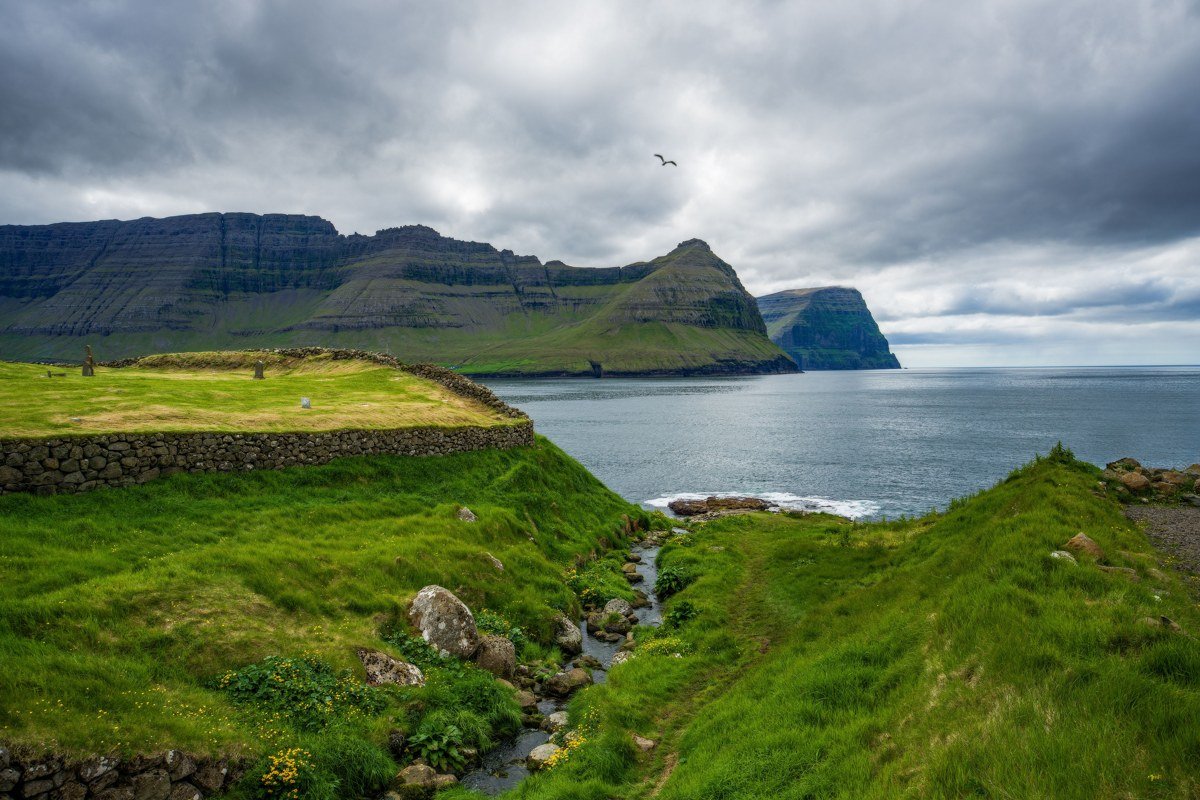
Gjógv takes its name from the Faroese word for gorge, and the village is built around a crack in the coastline that the islanders converted into a natural harbor. The gorge itself is about 200 meters long, narrow enough that you can almost touch both walls, and the sea surges in and out at the base with a sound that carries through the whole village. The visual drama is in the contrast: orange and yellow lichen on black basalt walls, deep turquoise water, tiny fishing boats anchored in what looks like an impossible slot. Walk to the top of the gorge walls at sunset and look back toward the mountains above the village for the less-photographed angle. The guesthouse in Gjógv is one of the better places to stay in the northern Faroes if you want an early-morning gorge without the day-trip crowds from Tórshavn.
6. Drangarnir Sea Stacks from the Tindhólmur Ridge
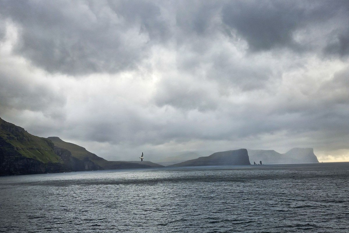
Most people see Drangarnir from drone footage or from the boat tour out of Sørvágur, but the real perspective is from the ridge of Tindhólmur, the jagged island just across the water. Getting there requires a boat from Sørvágur and a scramble up a trail that is not officially maintained, but the view from the ridge looks directly across at Drangarnir and the arch at its base with the open ocean behind it. The composition from the ridge is the one that actually communicates the scale of these stacks. Atlantic Seabird (Atlantshavsferðir), based in Sørvágur, has operated small-boat crossings to Tindhólmur in recent seasons. Verify their current schedule directly before planning around it, as services vary by year and weather. The ridge scramble is moderate but exposed, and wet conditions make it a bad idea. Late afternoon light hits Drangarnir from the west and turns the basalt a deep rust-orange that no filter can improve on.
7. The Eastern Shore of Hestur Island
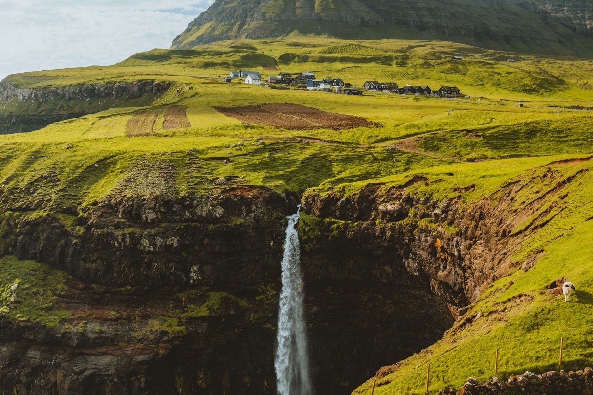
Hestur is a small island west of Streymoy that sees perhaps a fraction of the visitors that better-known spots collect. The ferry from Gamlarætt takes about 20 minutes and runs a few times a day. The island has a single small village and a network of unmarked sheep paths. The eastern shoreline is sheltered enough that on calm days the surrounding cliffs reflect cleanly in the water below the old boat landings. There is almost no tourist infrastructure here, which means you will likely have the entire coastline to yourself. The walk from the village around the southern tip of the island and back up the western cliffs takes about three hours and passes through terrain that shifts from green meadow to pure basalt exposure within minutes. Bring your own food and do not count on any services outside the village.
8. Viðareiði Plateau and the Northern Tip of Viðoy
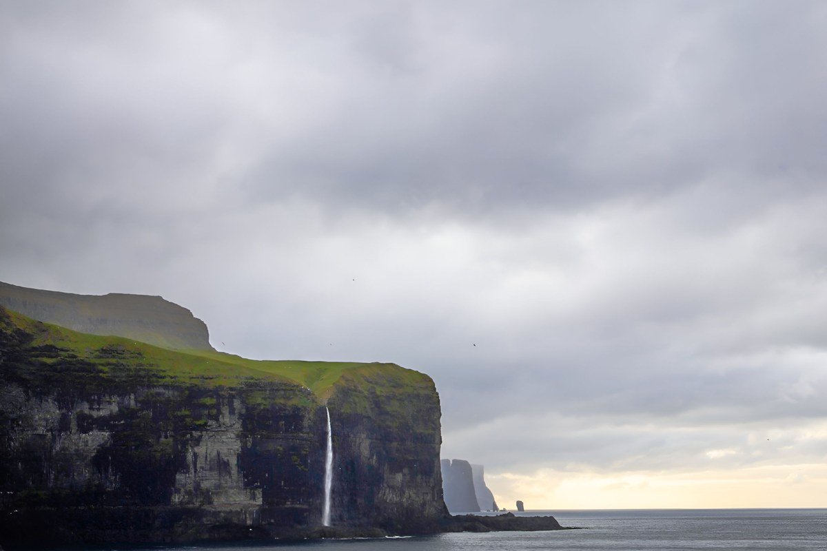
Viðareiði is the northernmost village in the Faroes and the plateau above it is where the island essentially runs out of land. Walking north from the village on the unmarked sheep tracks, the terrain flattens into a broad, wind-scoured plateau and then simply ends at a series of cliff edges above open ocean. There are no barriers, no signs, and no other people on most days. The grass is cropped short by wind and sheep, and the plateau has a lunar flatness that makes the sudden cliff edge feel like the edge of something larger. The fog behavior up here is specific and strange: it moves horizontally across the plateau in sheets while the sky above stays clear, producing the visual effect of walking through a slow river. This is not a technically difficult walk but navigation in heavy fog requires attention because the edges are not obvious until they are close.
9. The Basalt Columns at Vestmanna Bird Cliffs
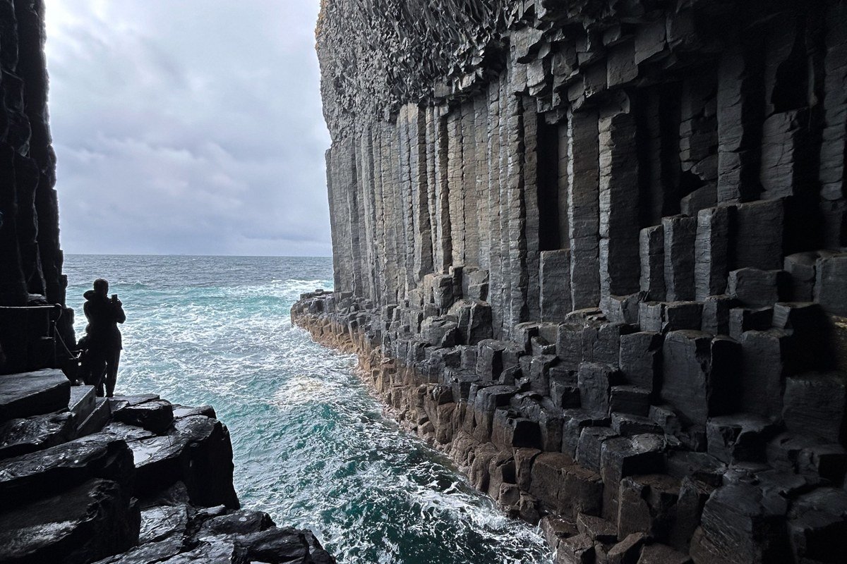
The Vestmanna boat tour is technically on the tourist map, but the experience of being inside the sea caves at the base of the basalt column cliffs is something photographs do not translate accurately. The columns are hexagonal and stacked like pencils, running from sea level to the cliff tops several hundred meters above, and the boat enters narrow sea caves where the ceiling drips and the sound of the ocean becomes a low, resonant hum. Kittiwakes and guillemots nest in the column joints and the noise and smell of the colony is overwhelming in the best possible way. The tour leaves from Vestmanna harbor on Streymoy and runs from around May through September. Book directly with one of the local operators rather than through a package tour aggregator. The early morning departure catches the best light inside the caves and avoids the afternoon chop that can make the cave approach rough.
Practical Notes
Transport
Rental cars are available in Tórshavn and cover most of Streymoy and Eysturoy within an hour of the capital. For the outer islands, including Hestur and Viðoy, check ferry schedules through Strandfaraskip Landsins (ssl.fo) well in advance. Some crossings run only a few times daily and do not operate on the same schedule year-round. Boat access to Tindhólmur requires separate private arrangements in Sørvágur.
Weather Windows
Late May through mid-July is the practical sweet spot: long light, active seabird colonies, and passable trail conditions on most routes. August brings slightly more settled weather but shorter evenings. September is genuinely beautiful but the window of good light narrows fast and some unmarked trails become significantly muddier.
Kit
Bring full waterproofs, not just a rain jacket. Waterproof trousers matter on any ridge or plateau walk. Wear trail shoes with rubber lugs designed for wet grass. Wool or synthetic mid-layers in addition to a shell are worth the bag space above 600 meters at any time of year.
Navigation
Several spots on this list have no marked trails and no phone signal. Download offline maps before leaving Tórshavn. Maps.me and Gaia GPS both carry reasonable Faroese terrain detail. Tell someone your planned route and expected return time before heading onto any unmarked plateau or cliff approach. The Faroese Environment Agency (Umhvørvisstovan) publishes guidance on trail conditions and restricted areas during the nesting season, worth checking before any cliff-edge walk.