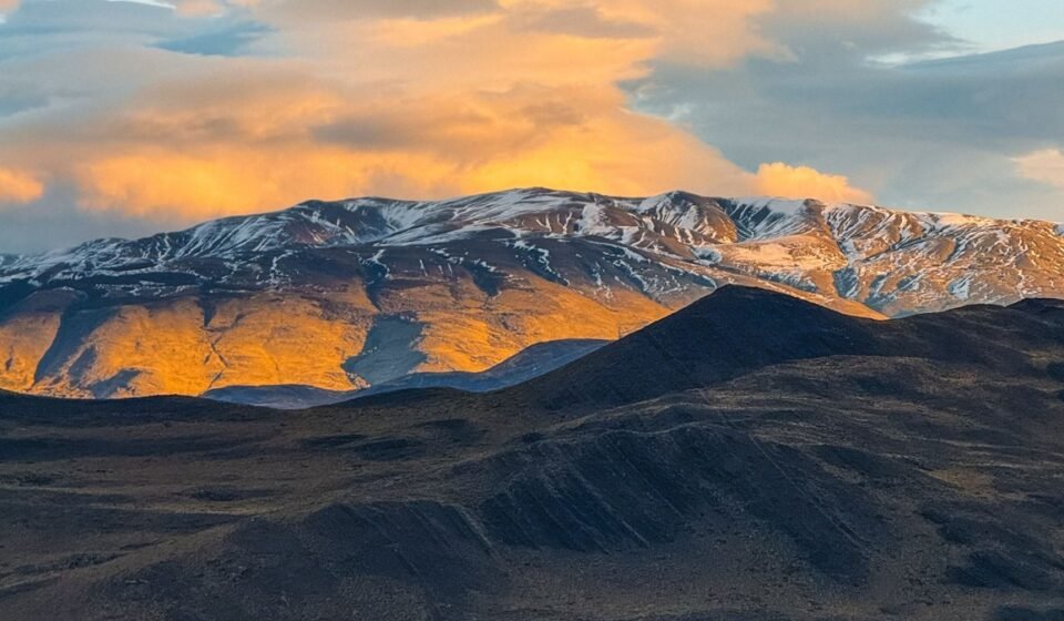

Wind speeds at Torres del Paine regularly exceed 120 kilometers per hour, strong enough to knock a loaded trekker off a ridge trail. That single fact explains more about Patagonia than any landscape description: this is a region that operates on its own terms, straddling southern Argentina and Chile across hundreds of thousands of square miles of ice, rock, and weather, and it rewards travelers who plan carefully and punishes those who do not.
1. Torres del Paine National Park, Chile
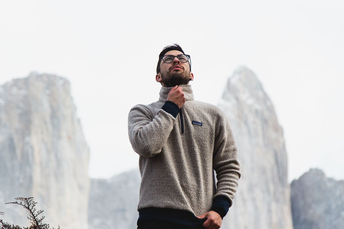
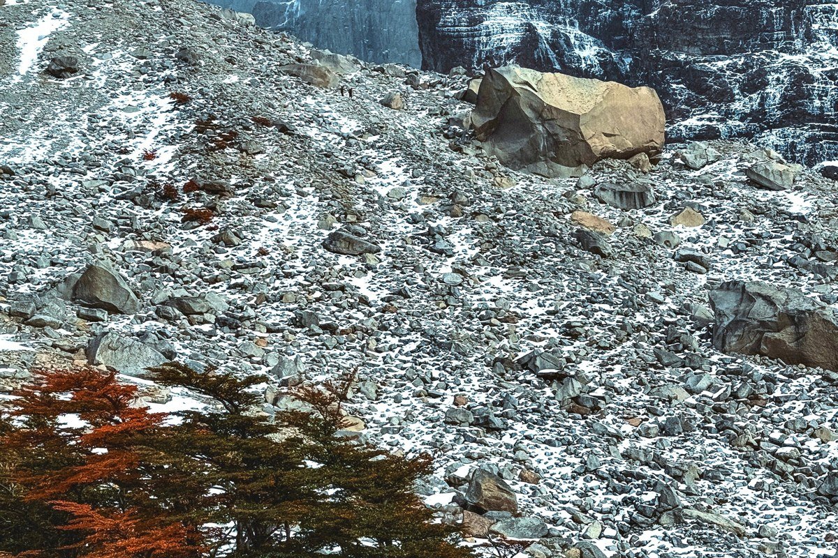
The three granite towers that give this park its name rise more than 2,800 meters above the Patagonian steppe and they are exactly as surreal in person as every photograph suggests, except louder, because the wind never really stops. The W Trek is the classic route, threading between the towers, the hanging glacier of Grey, and the pale jade waters of Lake Pehoe over five to eight days on foot. Photographers chase the eastern viewpoint at Mirador Base Torres in the pre-dawn hours when alpenglow hits the rock faces in shades of copper and rose that last roughly fifteen minutes before fading. The honest trade-off is crowds: the park receives hundreds of thousands of visitors per year, and booking refugio beds through the CONAF system six to eight months in advance is no longer optional during peak season (November through February). If you can shift your dates to late March or early April, the autumn colors on the lenga beech trees push the visual drama into another register entirely.
2. Perito Moreno Glacier, Los Glaciares National Park, Argentina
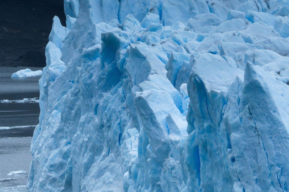
Perito Moreno is one of the only glaciers in the world that is not retreating, and standing on the elevated boardwalks across the Magellanes Peninsula as house-sized blocks of blue ice shear off and crash into Lago Argentino is a genuinely disorienting experience. The glacier face runs about five kilometers wide and rises up to seventy meters above the waterline, so the scale does not register properly until you hear a sound like a rifle crack, followed three seconds later by a roar that rolls across the water and back again before it finally dies. Beyond the free boardwalks, ice trekking directly on the glacier with crampons is available through authorized operators based in El Calafate, and the two to three hour mini-trekking option is accessible to anyone in reasonable shape. The best calving activity tends to happen in the afternoon when surface melt has loosened the ice face, so plan to arrive by midday rather than first thing in the morning if you want to witness the spectacle at its most theatrical.
3. Fitz Roy Massif, El Chalten, Argentina
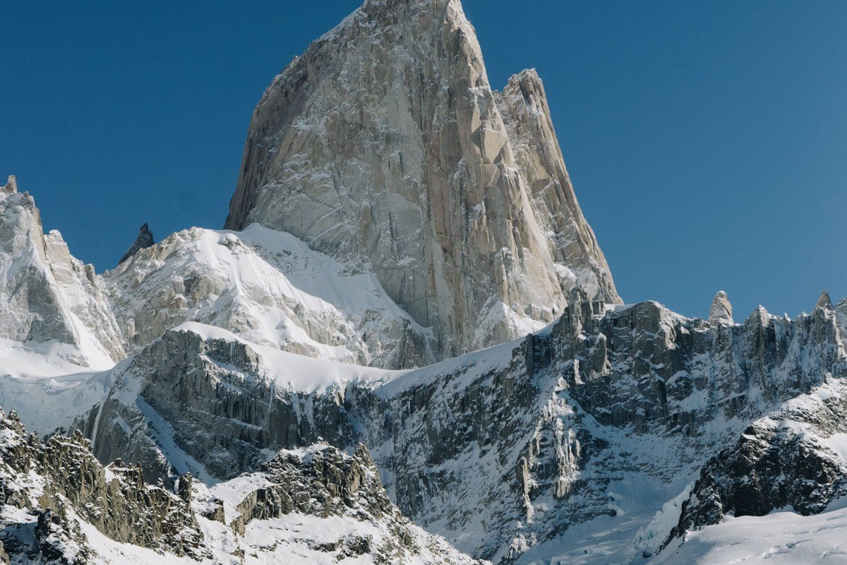
El Chalten is a village of roughly 1,500 people that exists almost entirely because of Fitz Roy, and the 22-kilometer return trail to Laguna de los Tres is one of the finest day hikes on the planet. The final 400-meter scramble to the laguna rim is steep loose scree that requires hands and careful footwork, but the reward is a cobalt lake pressed directly against the base of the spire complex with Cerro Torre visible to the south. The town itself functions as a trailhead hub with a genuinely good dining scene for its size (Ahonikenk and La Tapera are worth the reservation), and no park entrance fee is required, which remains one of the great quiet facts about El Chalten. Timing matters acutely here. Fitz Roy generates its own cloud cap most afternoons, so experienced hikers start before sunrise, reach the viewpoint in the first morning light, and descend before the granite disappears behind lenticular cloud. The alpenglow window on a clear morning lasts perhaps twenty minutes and looks like the mountain is lit from inside.
4. Cerro Torre Circuit, El Chalten, Argentina
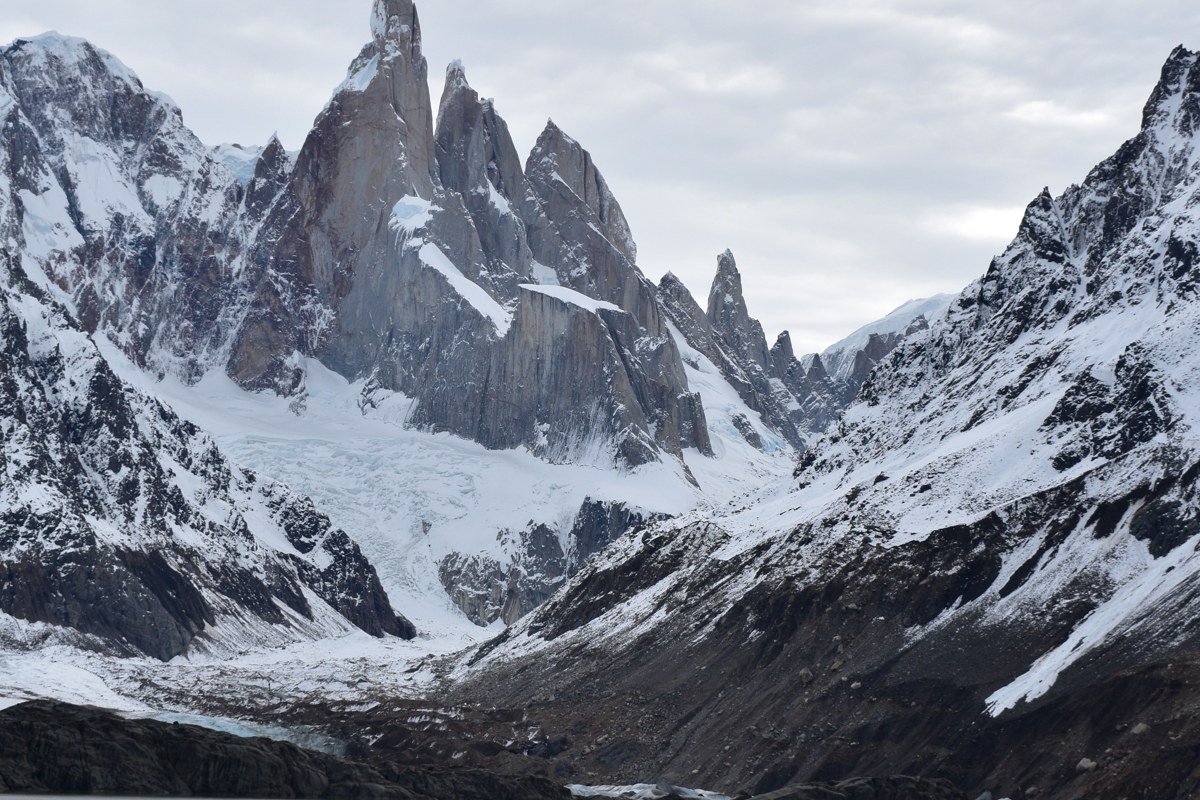
Cerro Torre is arguably the more technically extreme objective, but the walk to Laguna Torre is a separate day hike from the Fitz Roy trail, underrated relative to its neighbor, and often quieter on the same morning. The needle-sharp summit was the subject of one of mountaineering history’s most contested ascents (the Maestri controversy still generates debate), which gives it a biographical weight that Fitz Roy, for all its beauty, does not quite carry. The laguna sits at the base of a lateral moraine and the icebergs that calve off Glacier Grande drift into the foreground during summer months, creating compositions that editorial photographers return to repeatedly. Walking time from the trailhead to the lake and back is roughly four to five hours at a comfortable pace with full stops for photography. Go on the same trip as the Fitz Roy hike but choose separate days and you will notice immediately how different the light and atmosphere can be between two valleys separated by only a few kilometers.
5. Carretera Austral, Chilean Patagonia
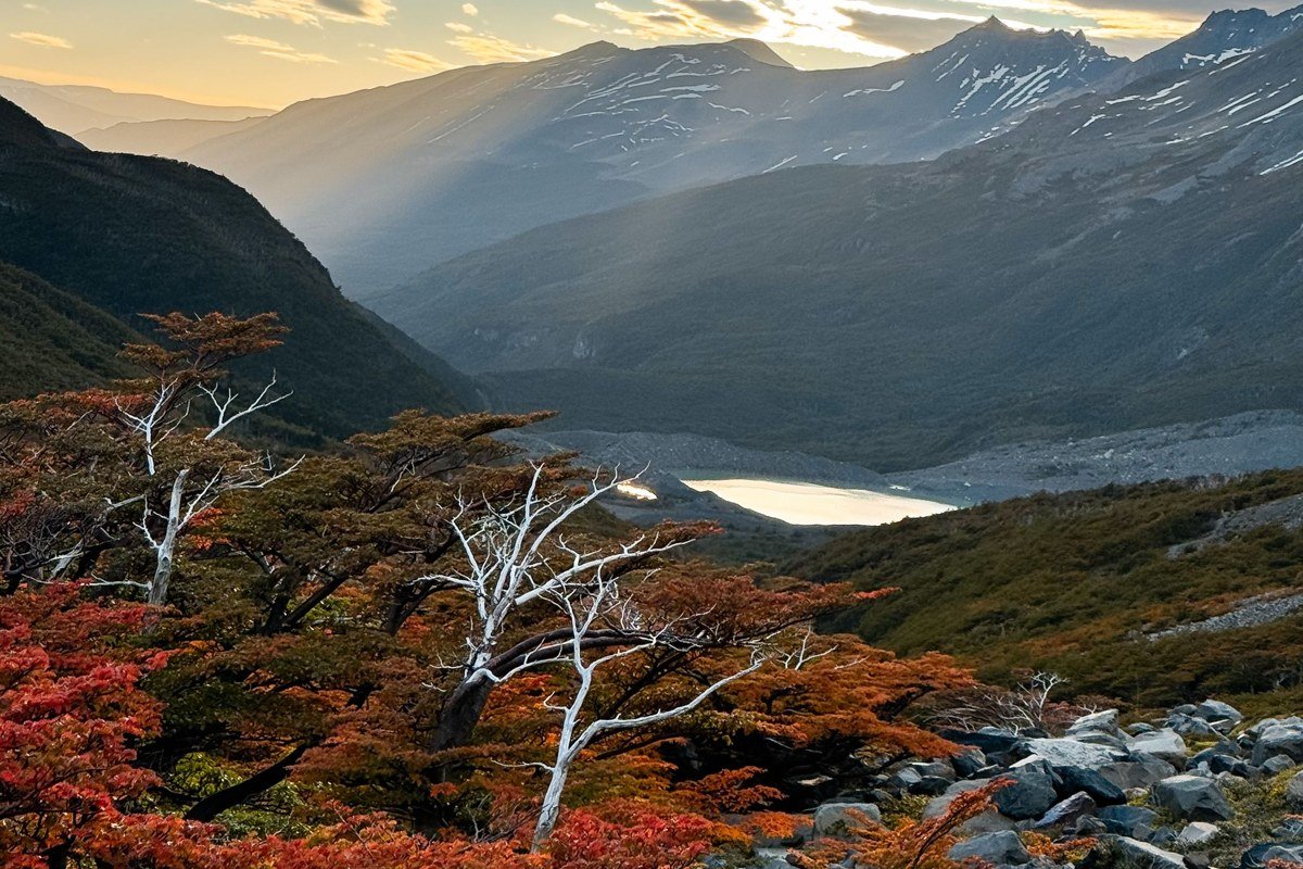
The Carretera Austral runs roughly 1,240 kilometers of gravel south from Puerto Montt toward Villa O’Higgins, and driving or cycling it is essentially a sequence of landscapes that each deserve a national park designation on their own. Two stops anchor any serious itinerary. The marble caves of Puerto Rio Tranquilo, accessed by boat on Lago General Carrera, are the more visually immediate: the water is a glacial milky blue, and the erosion patterns in the cavern walls reflect that color back in ways that make the photographs look heavily edited even when they are not. Plan at least two hours on the water and go in the morning before afternoon chop picks up. Cerro Castillo National Park, a more rugged and significantly quieter alternative to Torres del Paine, rewards a full two to three days with a rough campsite circuit that sees a fraction of the traffic its neighbor does. Puyuhuapi, further south, is worth an overnight for its thermal springs opening directly onto a fjord, though a single evening is sufficient before moving on. The road itself demands respect: ferries handle most crossings, fuel stations can be 200 kilometers apart, and a 4×4 rented out of Coihaique is not optional if you plan to reach the southern sections. Go in November or March to avoid the peak summer rush and to find the light at its most saturated.
6. Valdivian Temperate Rainforest and Pumalin Douglas Tompkins National Park, Chile
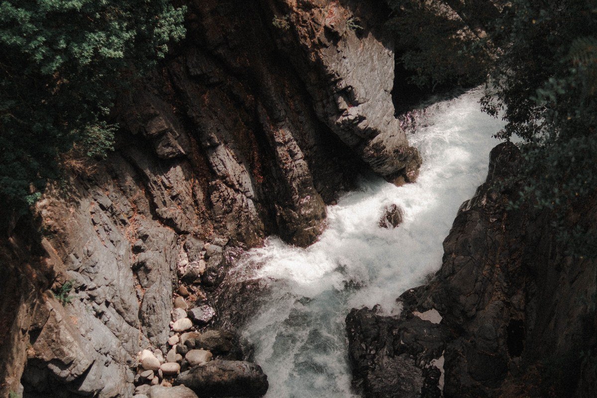
Douglas Tompkins, the founder of The North Face and Esprit, spent the last chapter of his life buying and rewilding land in Patagonia, and Pumalin is his most visible legacy: a park covering roughly 300,000 hectares of Valdivian temperate rainforest, with trails through ancient alerce groves where individual trees exceed 3,000 years in age. The alerces are the southern hemisphere’s answer to the coastal redwood. Under their canopy, the diffuse rainforest light filters through layers of moss and bark and arrives at ground level flattened and green-gray, catching the furrowed texture of trunks wide enough to require six people to encircle them and making even midday feel like early dusk. The Chaiten volcano erupted in 2008 and the park absorbed the blast zone; the recovery visible today, green vegetation pushing through ash-bleached ghost forest, is itself a remarkable sight. Infrastructure inside the park is intentionally minimal: cabins and campsites run by the Tompkins Conservation foundation, mostly accessible off the Carretera Austral. This is not a park for travelers who need amenities. It is a park for travelers who want to feel like the first person to stand in a place, even if they are not.
7. Rio Baker and Cochrane, Chilean Patagonia
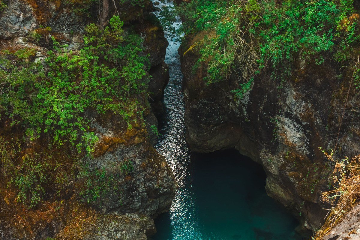
Rio Baker carries more water than any other river in Chile and the color of it at the confluence with the Rio Nef, where bright turquoise glacial melt meets darker green snowmelt, is a phenomenon that reads as artificial but is entirely natural and fully as vivid in person as in the images that circulate on travel boards. Cochrane is the nearest town, a working cattle and fishing community where the tourism infrastructure is still genuinely simple, meaning the fishing lodges are not yet priced for hedge fund clients. Multi-day float trips on the Baker are available through outfitters based in Cochrane, combining Class III and IV rapids with campsites on gravel bars surrounded by mountains that see very few humans. The Rio Baker canyon section downstream from Cochrane is the most dramatic stretch visually, with vertical walls and the river compressed between them in shades of green and turquoise that shift throughout the day depending on cloud cover. Bring dry bags for everything.
8. Tierra del Fuego and the Beagle Channel, Argentina and Chile
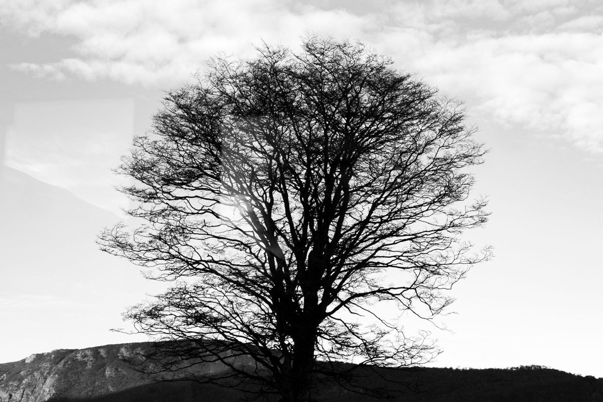
Ushuaia calls itself the southernmost city in the world, and while the claim is technically contested by Puerto Williams across the channel in Chile, the feeling of standing at the literal bottom of the Americas is genuine and quietly overwhelming. The Beagle Channel connects the Atlantic to the Pacific at 55 degrees south latitude, and boat tours departing from Ushuaia pass sea lion colonies, penguin rookeries, and the lighthouse at Les Eclaireurs (routinely misidentified as the “End of the World Lighthouse” but no less atmospheric for it). Tierra del Fuego National Park sits just west of Ushuaia, with the Coastal Trail along Lapataia Bay offering some of the most accessible subantarctic forest and shoreline walking in the region. The weather changes in ways that border on dramatic comedy: full sun, horizontal sleet, and fog in the same two-hour window. Carry layers, waterproofs, and extra camera batteries because cold kills charge faster than altitude.
Crossing into Chile by catamaran with Ushuaia Boating or Fernandez Campbell to Puerto Williams and then hiking the Dientes de Navarino circuit converts this leg from a visit into an expedition. The circuit takes five days, involves no services on trail, and is graded for experienced backpackers comfortable with route-finding on unmarked terrain. As of the most recent CONAF guidance no permit is required, though that policy is subject to review and should be verified with CONAF directly before you travel.
Practical Takeaways for Planning Your Patagonia Adventure
The southern hemisphere summer runs November through February, and that is peak season for a reason: longer daylight hours, more predictable access, and the best trail conditions. Shoulder seasons (October and March to April) now offer a genuine quality-of-experience advantage for most destinations outside the glaciers, where access can be restricted by early or late season conditions.
The following principles apply across the region, sequenced from the decisions that must be made earliest to those you can leave until closer to departure.
Book flights with the routing problem in mind. Ushuaia (USH) and El Calafate (FTE) are the two most common entry points for Argentine Patagonia, and neither connects directly to the other or to most international hubs. Both require separate routing through Buenos Aires (EZE or AEP) or, for Ushuaia, sometimes through Punta Arenas in Chile. Travelers who book the two cities as a simple loop frequently discover they have scheduled an impossible or extremely expensive connection. Map the full air itinerary before booking any land arrangements.
Book accommodations inside Torres del Paine and on the W Trek at least six months out. Everything else is more flexible, but do not assume flexibility means availability.
Carry Argentine pesos and Chilean pesos in cash. ATM networks in small towns are unreliable and sometimes empty.
Wind in Patagonia is not metaphorical. Bring a windproof shell rated for sustained gusts, not a light rain jacket, regardless of your planned activity level.
The region spans two countries with different entry requirements, currencies, and park systems. Identify which border crossings your itinerary requires and verify current requirements at least a month before travel.
Build buffer days into every leg. Patagonia adventure travel rewards patience and punishes rigid itineraries. The window when Fitz Roy is clear may not come on the day you scheduled it, but it will come if you stay long enough to wait.