
Where you enter Salar de Uyuni is the single most overlooked decision a visitor makes, and it shapes everything: whether you get the famous mirror reflection, the geometric hexagon crust, towering cacti on an island, or a flat white void that reads as nothing more than a parking lot. The world’s largest salt flat covers roughly 10,000 square kilometers across southwestern Bolivia, and its edges, islands, and interior zones differ from one another in ways that no single itinerary captures. Use this guide to match your entry point to the image in your head.
1. Colchani Village Edge (East Access): Dry Season and Wet Season
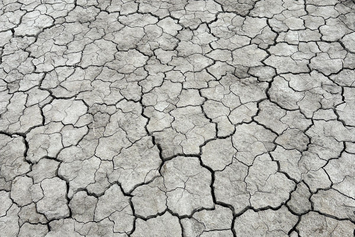
Colchani is the small, functional town at the eastern edge of the flat that most tour jeeps roll through without stopping, which is exactly why you should stop here. It serves as the primary access point for two completely different salar experiences depending on the season, and understanding that split is more useful than any other piece of planning advice for this destination.
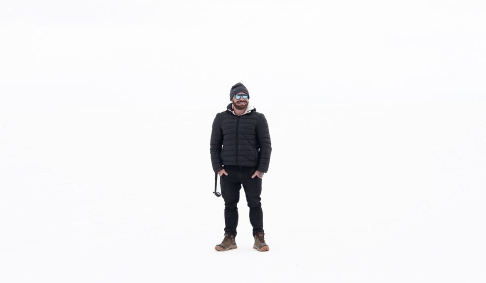
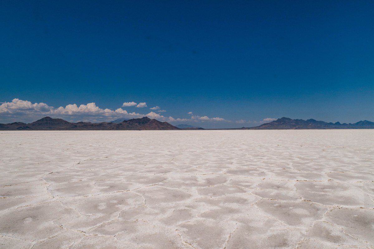
Dry season (May through October). The crust at this access point is older, thicker, and more polygonally defined than anywhere else on the flat. After months without rain, the salt contracts and heaves upward at its seams, producing hexagons whose ridges can reach knee height by July and August. The pattern photographs like something between a tortoise shell and a tiled courtyard. The technique that works best is to arrive before your group wanders back to the jeeps and spend fifteen minutes lying flat on the crust shooting at ground level, which compresses the repeating geometry into something abstract enough to read as graphic design rather than geology. Note that the south access road from Uyuni town (see section 7) covers much of the same eastern zone but with heavily worn crust from constant vehicle traffic. If hexagon definition matters to you, enter via Colchani and avoid the south access entirely for this purpose.
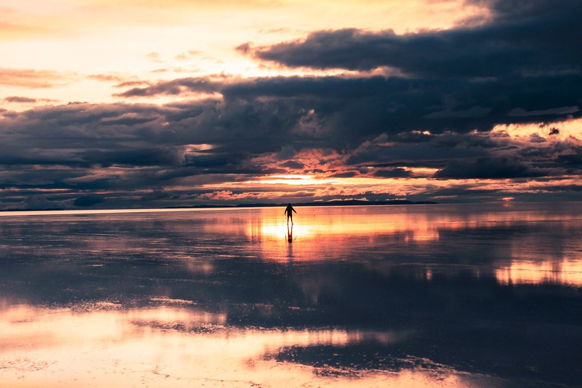
Wet season (December through April). This is the image that dominates Pinterest every southern hemisphere summer, and reaching it requires nothing more than the Colchani road plus a few centimeters of rain. When water from surrounding mountains sheets across the flat and sits at a depth of roughly two to five centimeters, the surface becomes a flawless mirror. The reflection works because the crust below is perfectly flat and white, effectively invisible under shallow water. Standing here in the early morning, before wind disturbs the surface, produces the disorienting sensation that sky and ground have merged. The honest trade-off: the mirror effect is weather-dependent and can vanish within hours if wind picks up or water evaporates, so build flexibility into your itinerary rather than committing to one specific morning. The southeastern flat around San Juan (section 8) floods slightly earlier in the season and can serve as a useful backup when the main Colchani zone is still dry in November.
2. Ojos del Salar (Salt Eyes, Northeast Interior)
The Ojos del Salar are freshwater wells that bubble up directly through the salt crust in the northeastern section of the flat, and almost no standard day-tour itinerary includes them. These circular openings range from a meter to several meters across, perfectly round, deep blue against blinding white, and they look like something a production designer placed deliberately. The contrast between the inky water and the surrounding crust is extreme enough that phone cameras handle it without any editing. The best approach is to hire a private driver based in Uyuni town who knows the coordinates, since there are no signs and the flat offers zero landmarks for orientation. Do not step too close to the edges: the crust around the eyes is thin and unstable, and the drop into cold water would be both dangerous and difficult to explain.
3. Isla Incahuasi (Cactus Island, Central Salar)
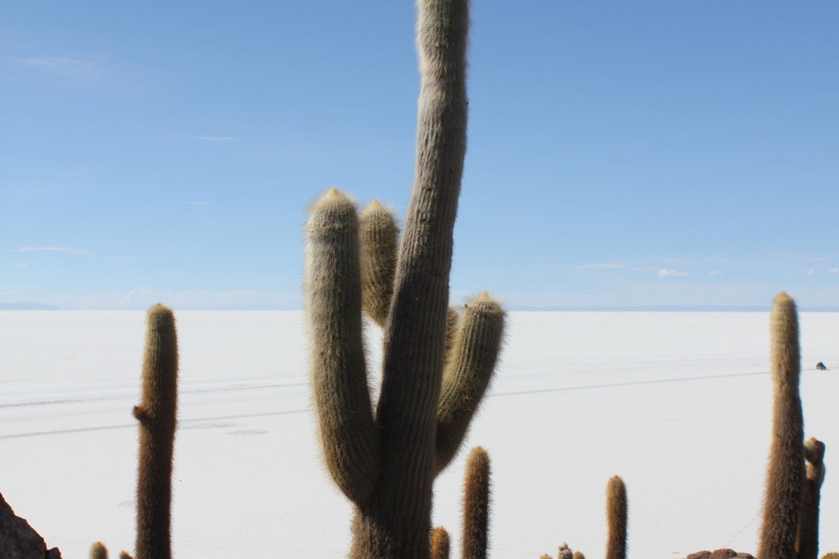
Incahuasi is the most visited point on the salar and for good reason. It is an ancient coral reef island rising from the middle of the flat, covered in columnar cacti that reach six meters tall and are estimated to be several hundred years old, surrounded on all sides by white salt extending to every horizon. The sheer vertical scale of those trunks against unbroken flatness is the visual payoff, and nothing else on the salar replicates it. The entrance fee is Bs. 30 (verify current rate before visiting, as it adjusts periodically). Climb to the island’s high point early, before the lunch convoy of jeeps arrives and fills the foreground with parked vehicles. Between 11 AM and 2 PM the island is genuinely crowded, and a clean cactus-and-flat composition requires either early arrival or a long telephoto lens. A second, smaller island called Isla Pescadores sits nearby with far fewer visitors and similar cactus coverage.
Worst entry point for hexagon photography: Incahuasi sits in the central salar where the crust is thinner and less defined than at the Colchani edge. If geometric crust patterns are your primary goal, the drive to the island center is not where you want to spend your morning light.
4. Isla Pescadores (Fish Island, Southwest of Incahuasi)
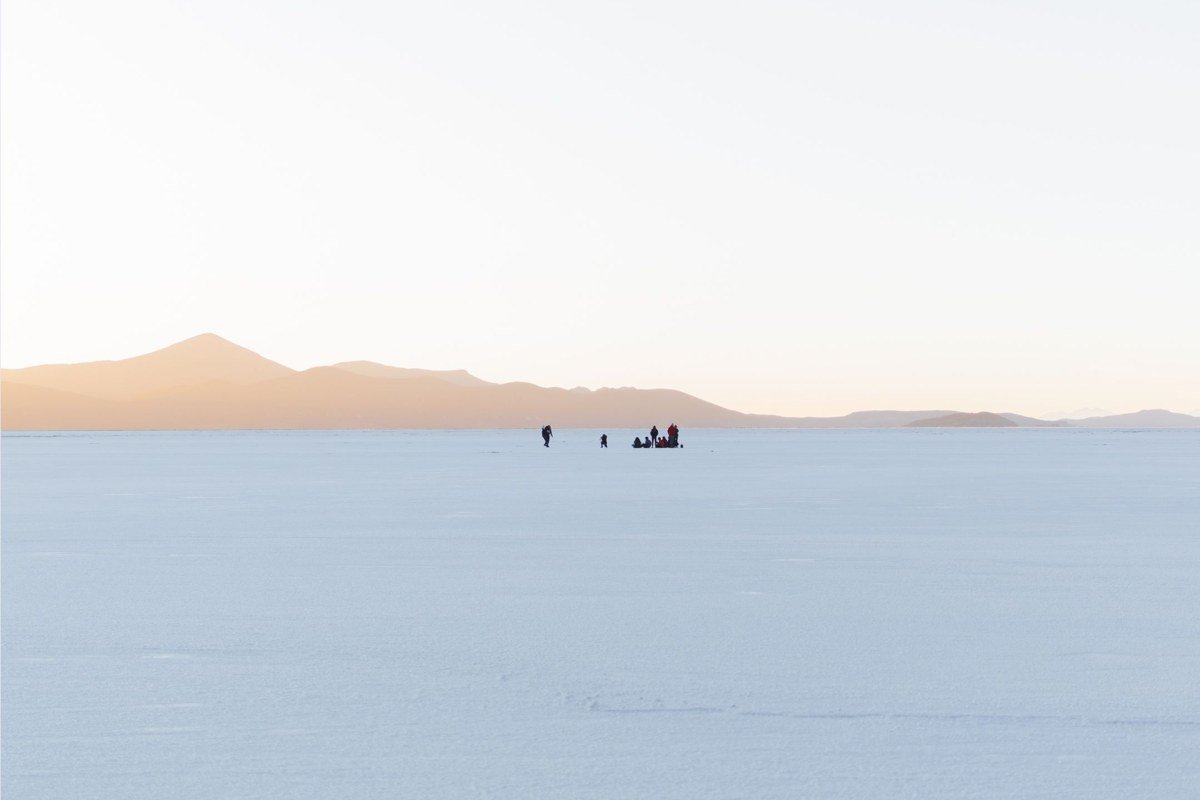
Pescadores receives a fraction of Incahuasi’s traffic despite sitting relatively close to it, partly because it lacks a cafe and a bathroom, which filters out a significant portion of the tour group market. The cacti here are equally tall and the 360-degree salt view is identical, but you can often have the entire island to yourself for thirty minutes or more. This makes it useful for long-exposure or perspective-play photography that requires moving a tripod without strangers walking into your frame. The island has a rougher, less manicured character, with rocks and low scrub mixed among the cactus trunks. Access requires arranging with your driver in advance, since most standard Incahuasi itineraries do not include the detour.
5. Tunupa Volcano Base (North Shore Entry)
The northern shore of the salar sits directly at the foot of Tunupa, a dormant stratovolcano that rises to 5,432 meters. Entry from this side, through the small village of Coqueza, gives you a completely different visual grammar from any other point on the flat. The cone is symmetrical enough that it reads as almost impossibly geometric, and at dusk the volcanic rock shifts from charcoal gray to a deep rust orange before the last light drops. In wet season, the cone reflects in the shallow water below, and the specific thing that lifts this view beyond ordinary mirror shots is the angle: standing at the water’s edge, the reflection extends the volcano downward so that you appear to be suspended between two identical mountains pointing in opposite directions. No other access point on the salar offers a dominant vertical element like this in the composition.
The hike up Tunupa’s lower slopes requires no technical gear for the first few hours and delivers aerial views of the flat’s northern edge that no jeep can replicate. The drive from Uyuni town takes roughly three hours on rough roads, so this entry point works best as an overnight stay in Coqueza rather than a day trip, giving you access to both sunset and sunrise light from the volcano base.
6. Llica (West Shore, Bolivia-Chile Corridor)
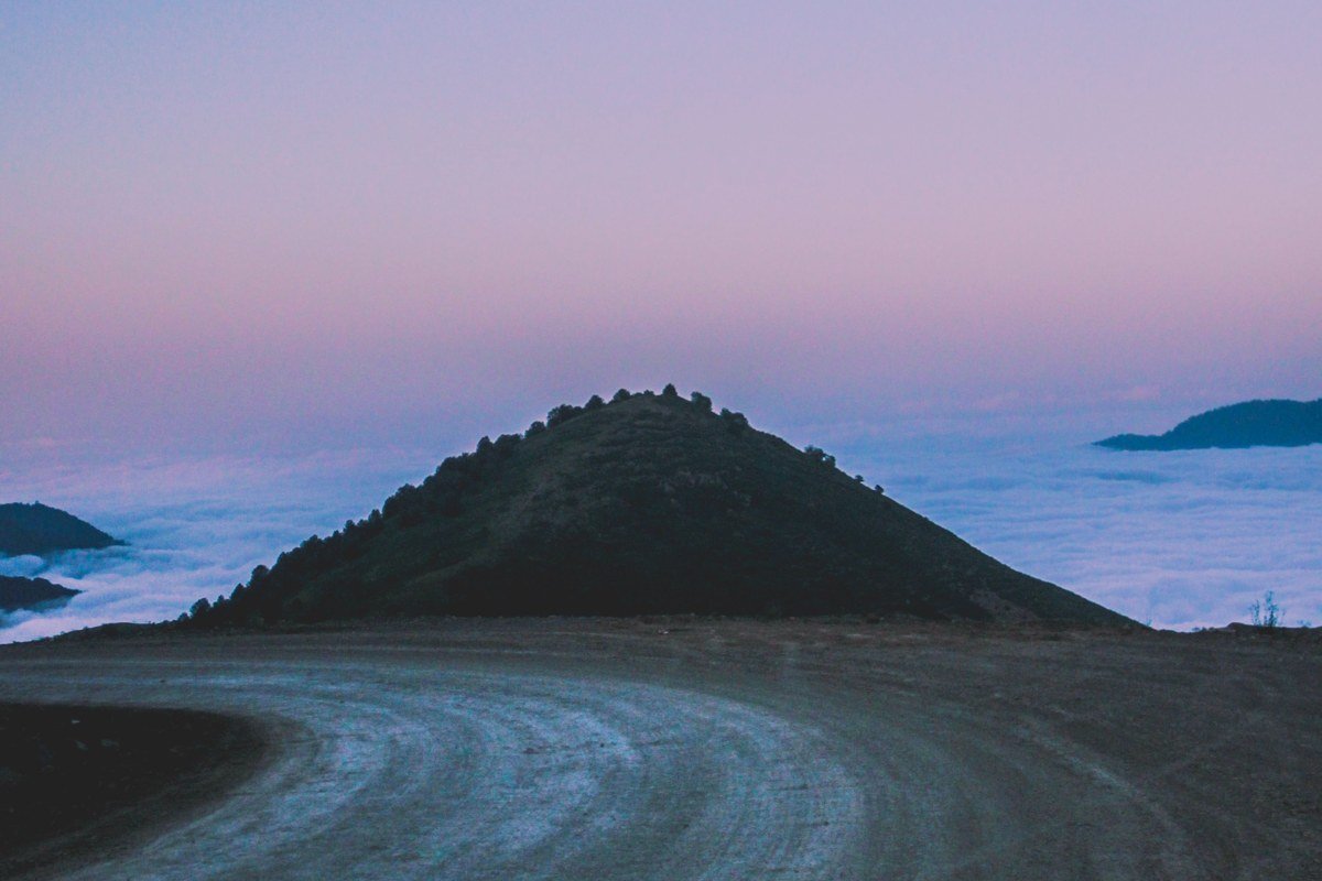
Llica sits on the far western edge of the salar and is one of the least visited access points because it requires either a long overland drive from Uyuni or entry from the Chilean side via San Pedro de Atacama. The western flat retains moisture slightly longer due to drainage patterns, meaning the crust here is sometimes softer and whiter than at the east. The visual payoff is the remoteness itself: at Llica you can stand on the salar at dusk and see no other vehicles, no tour groups, no infrastructure in any direction. The trade-off is logistics. You need your own transport, a driver comfortable with unmarked routes, and enough fuel to cover the distance since services are minimal. For photographers focused on atmosphere and silence over convenience, this is the entry point that delivers what the aspirational version of this place promises.
7. Uyuni Town South Access (Utility Entrance)
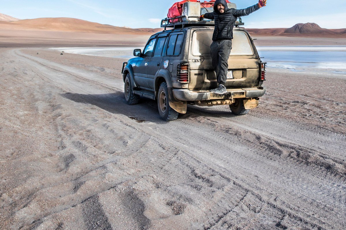
The direct south exit from Uyuni town puts you on the flat quickly, past the old salt hotel (now a museum, since accommodation on the salar was banned to protect the crust) and a pyramid-shaped monument marking the Dakar Rally route. The surface here is heavily trafficked and the hexagon definition is worn down from constant vehicle use, which makes this a poor choice for crust photography and a reasonable choice for almost nothing visually distinctive. Its single genuine advantage is proximity. This is the only realistic option for self-drive visitors or anyone chasing a specific weather window without committing to a full tour. You can be on the flat in under twenty minutes from a hotel in Uyuni, which matters when a mirror-perfect morning appears overnight and your itinerary has no room to maneuver. Think of it as the utility entrance rather than a destination in its own right, and plan accordingly.
Worst entry point for: hexagon crust photography (crust is eroded), isolation or atmosphere shots (infrastructure is visible), and anything requiring the volcano or island as a compositional element.
8. San Juan de Rosario and the Train Cemetery (Southeast Corner)
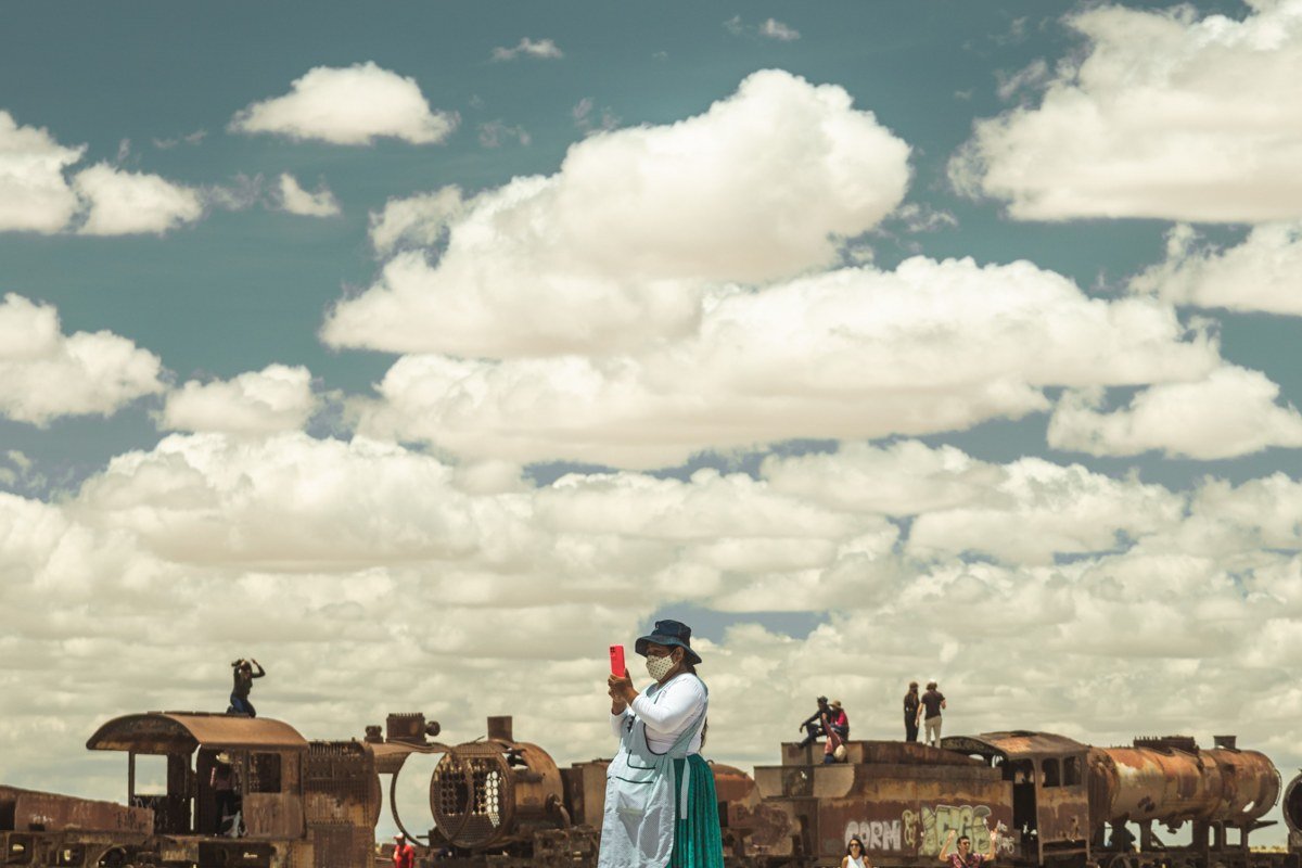
The Train Cemetery (Cementerio de Trenes) sits just outside Uyuni in the southeastern approach corridor. While the cemetery itself is not on the salar, the approach road passes through a landscape where the flat’s edge dissolves into the altiplano: rust-colored locomotive skeletons against distant white salt, low thorn scrub, and seasonally a few flamingos in the shallow lagoons nearby. The best approach is to shoot the Train Cemetery at golden hour and then drive the short distance onto the flat’s edge as the last light hits, catching both subjects in the same session. The southeastern flat floods marginally earlier in wet season than the Colchani zone, making it a useful mirror-hunting alternative in November when the main eastern access is still dry.
9. Atulcha and the Southern Shore (Laguna Access near Tahua)
The southern shore access near Tahua and the Atulcha area is one of the least documented entry corridors in English-language travel writing, and it rewards the extra planning with a combination of elements no other single access point offers. The salt flat here narrows and grades into a series of seasonal lagoons that attract flamingos, and the specific species detail matters: James’s flamingos (Phoenicoparrus jamesi), the rarest of the three flamingo species found in the Bolivian altiplano, concentrate in these southern lagoons seasonally, identifiable by their yellow-tipped bills and deeper rose coloring compared to the more common Chilean flamingo. Seeing them here, against the white salt and the volcanic backdrop to the south, is qualitatively different from the occasional flamingo sighting near the Train Cemetery.
The southern shore also sits close enough to the laguna circuit (Laguna Colorada, Laguna Verde) that it integrates naturally into a multi-day overland route rather than requiring a dedicated detour. The flat’s surface texture here is intermediate between the thick-ridged Colchani crust and the soft western edge at Llica, and the horizon in every direction is unobstructed. Access typically requires a four-wheel-drive vehicle and a driver who runs the southern circuit regularly; this is not a zone where improvised navigation works well.
Worst entry point for: mirror reflection photography (the southern shore floods last and least predictably) and anyone on a one-day tour from Uyuni town, since the distance makes it logistically impractical without an overnight itinerary.
Practical Takeaway
Book your Salar de Uyuni tour or driver before you arrive in Uyuni town, particularly between June and September when demand peaks. Be explicit with your driver about which entry points matter to you: most standard tours follow a fixed route covering the Colchani east entry, Incahuasi, and the south access zone, and will not deviate unless you request it in advance.
Dry season (May through October) delivers hexagons and infinite white. Wet season (December through March) delivers mirrors but also occasional road closures when the flat floods deep enough to make access dangerous. A private driver for two to three days costs more than a group tour but gives you the flexibility to chase light, swap entry points based on conditions, and reach the north shore, southern lagoons, or western edge in a way that group itineraries cannot accommodate.
For finding reputable operators, Red Planet Expeditions, Cordillera Traveller, and Kanoo Tours are all established agencies working out of Uyuni with drivers who cover the full range of entry points described here. Any of them can customize a route if you share this list in advance and explain what you are trying to photograph. The flat does not care which direction you enter. The photograph you take home absolutely does.