
Patagonia and the Andes hold some of the most genuinely surreal terrain on the planet, the kind of places where volcanic geology, glacial ice, and raw wind conspire to produce scenery that feels pre-human. These are landscapes most travel feeds have barely scratched, sitting outside the loop of Iceland and Faroe Islands content that dominates the mystic-landscape corner of Pinterest right now.
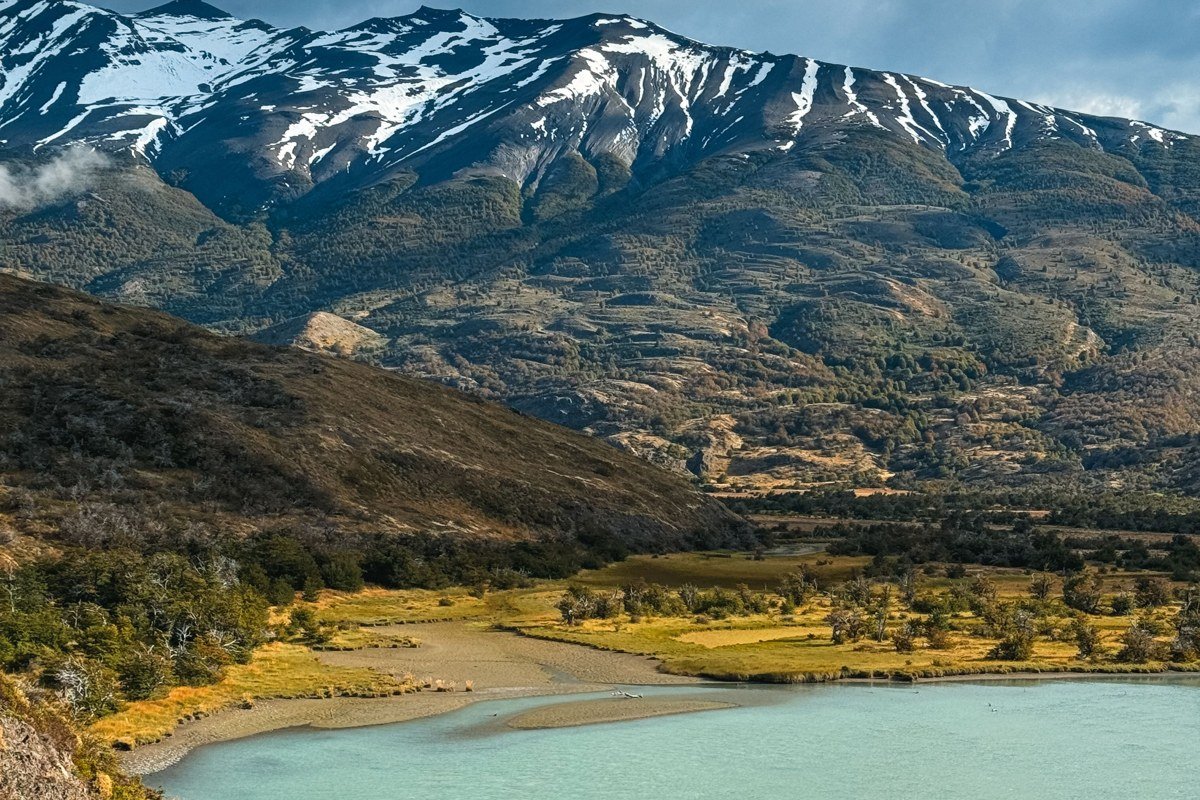
1. Laguna Colorada, Bolivia (Eduardo Avaroa Reserve)
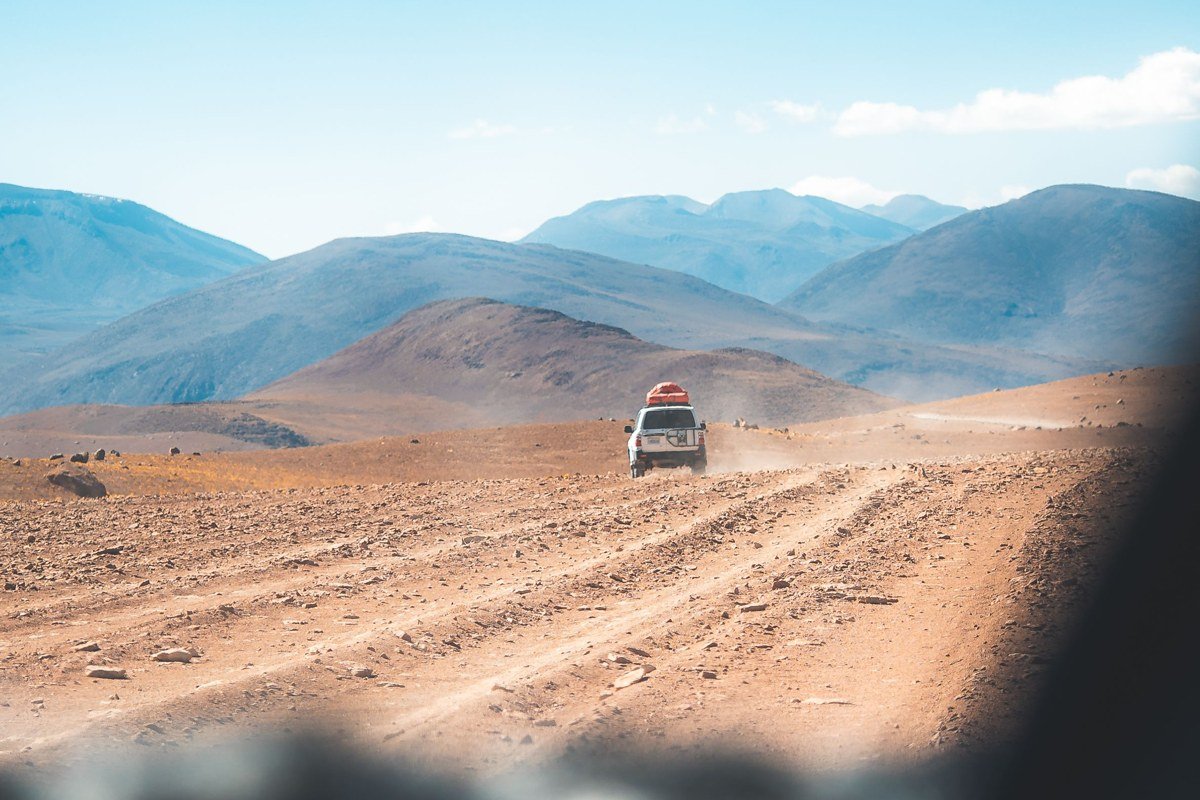
At 4,278 meters above sea level on the Bolivian altiplano, Laguna Colorada is a shallow salt lake dyed brick-red and rust-orange by algae and sediment, dotted with white islands of borax that look like foam left by some impossible tide. James flamingos, one of the rarest species in the world, wade through it in the hundreds, entirely unbothered. The best approach is to arrive before sunrise from the nearby basic hostels on Uyuni circuits so you catch the lake in flat morning light, when the reflection doubles every color and the flamingos are already moving. Entry to the Eduardo Avaroa Andean Fauna National Reserve costs around 150 bolivianos per person at the gate; there is no advance booking system, so budget the fee in cash and plan for a queue during high season. The roads to reach the lake are corrugated dirt tracks best handled in a 4×4 with a local driver. Go in the dry season (May through October) for clearest skies and the most concentrated bird numbers.
2. Valle de la Luna, San Pedro de Atacama, Chile
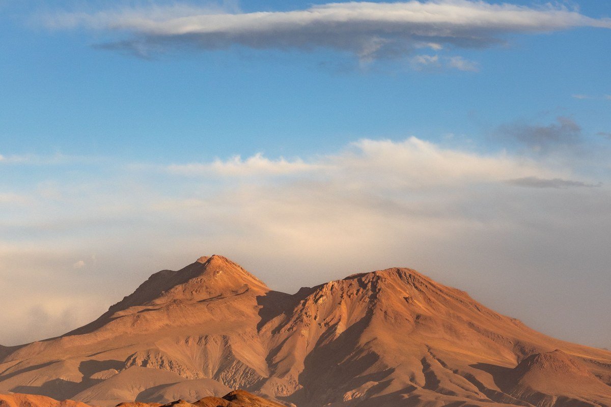
The Atacama Desert’s Valle de la Luna is not just a desert. It is a former lake bed that evaporated and buckled, leaving salt crystal formations, wind-carved ridges, and enormous sand dunes pressed against volcanic rock in colors that shift from pale ochre to deep copper depending on the hour. The atmosphere is so dry that the silence is physical, and the absence of vegetation makes every geological fold legible in a way that lush landscapes never allow. Climb the main dune ridge around 45 minutes before sunset and watch the Cordillera de la Sal turn every shade from mauve to rose-gold while the sky behind you goes violet. This valley sits just 12 kilometers from San Pedro de Atacama town, making it accessible without a full expedition, but go on a weekday if possible since tour buses crowd the viewpoints on Saturday afternoons. On full moon nights the valley is bright enough to cast shadows on the salt flats with no artificial light source within 80 kilometers, and the experience costs nothing beyond the standard park entry.
3. Perito Moreno Glacier, Santa Cruz, Argentina
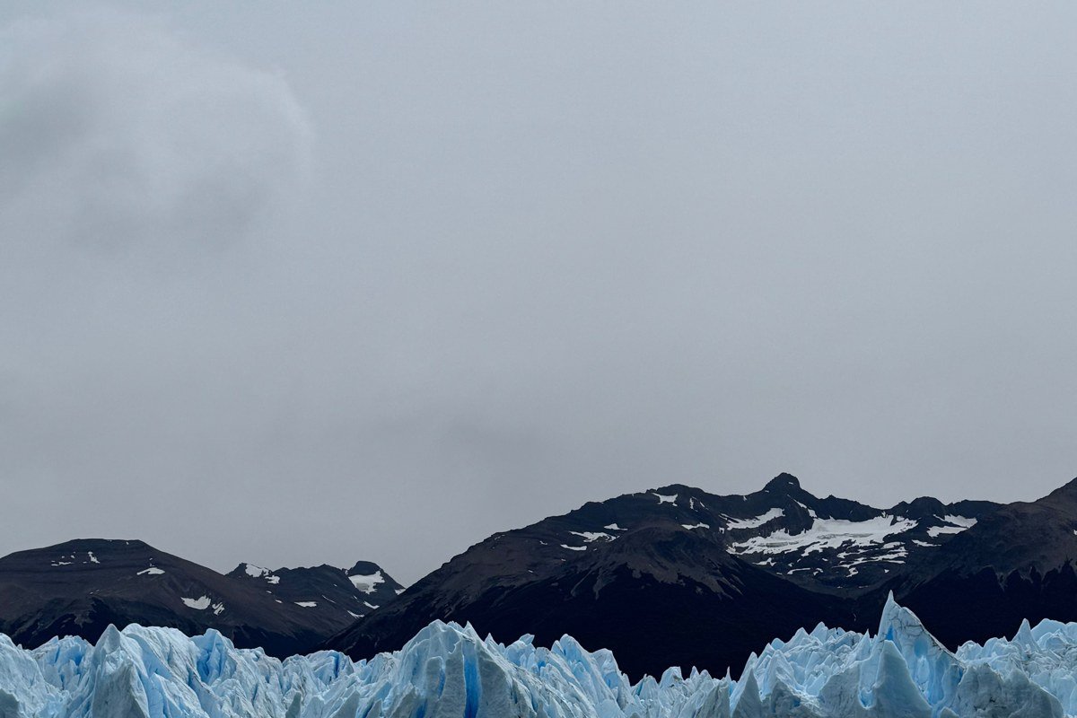
Most glacier photography looks distant and abstract. Perito Moreno does not, because you stand on elevated boardwalks facing a wall of ice that is roughly 60 meters tall and nearly five kilometers wide, close enough to feel the cold radiating off it and hear the deep, structural groaning before a calving event drops city-block-sized chunks into Lago Argentino. It is one of the few glaciers in the world that is currently stable rather than retreating, which means it remains visually dramatic year after year. The free boardwalk system covers multiple levels and angles and suits any budget. For a different perspective, paid boat safaris run from the dock below and bring you within a hundred meters of the ice face, which is worth the extra cost if you want photographs that show the true scale of the wall rather than its width. The best photographic position from the boardwalk is the southern walkways at mid-morning when the sun lights the ice from the side and picks up the impossible blue interior. Go in November or March to avoid the peak January crowds, and book accommodation in El Calafate (40 km away) at least two weeks ahead in any season.
4. Pumalin Douglas Tompkins Park, Los Lagos, Chile
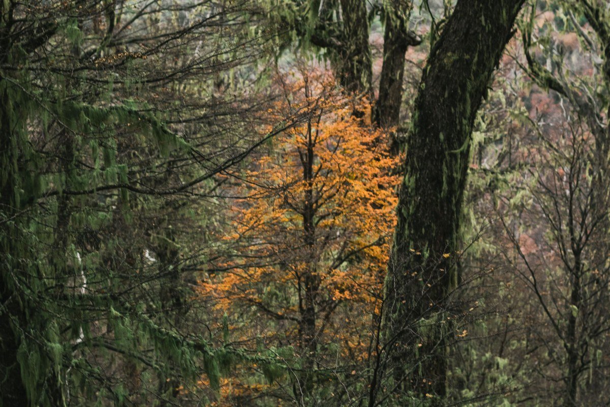
Pumalin is a private national park gifted to the Chilean state, covering a swath of temperate rainforest in the Los Lagos region where alerce trees grow to heights rivaling California redwoods and reach ages exceeding 3,000 years. The forest floor is layered in mosses so dense they look rendered, and the humidity creates a persistent low mist between the trunks that photographers working with a 35mm prime and patience can turn into something cathedral-like. The single best hike is the Sendero Alerce, a roughly two-hour loop that takes you through old-growth alerce stands with boardwalks protecting the root systems. This park remains far less visited than Torres del Paine despite being easier to reach via the Carretera Austral. Cell service is essentially nonexistent, which, depending on your relationship with your phone, is either the point or a logistical challenge worth planning around.
5. Volcan Villarrica Crater Rim, Araucania, Chile
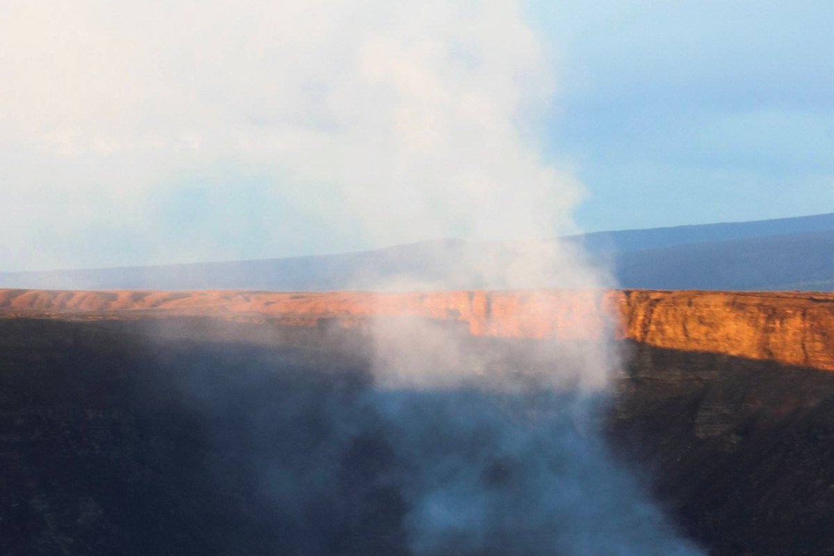
Villarrica is one of South America’s most active volcanoes and one of the few on earth where you can legally hike to the crater rim and look directly into a lava lake. The ascent takes roughly five to six hours through deep snow fields, guided by certified outfitters out of Pucon, and at the summit the sulfur smell hits before the view does: a sharp, mineral burn that mixes with the cold wind as the lava lake churns a hundred meters below. The combination of that gas, the wind, and extreme cold means this hike is not casual, and operators will cancel in poor weather without refund, so build two buffer days into your Pucon itinerary. The descent is done on rented crampons and, in the right snow conditions, a seated glissade that makes the brutal climb feel almost worth it on its own.
6. Quebrada de Humahuaca, Jujuy, Argentina
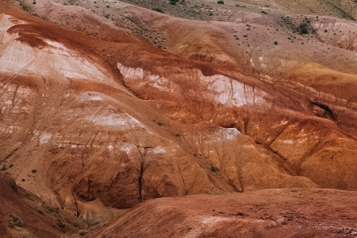
A UNESCO World Heritage gorge running north from Jujuy toward the Bolivian border, the Quebrada de Humahuaca is most famous for the Cerro de los Siete Colores above the village of Purmamarca. The hillside is striated in seven distinct bands, each produced by a different mineral: iron oxides create the deep reds and terracottas, sulfur compounds produce the yellows, and chlorite-rich sediments account for the pale greens, while manganese and lead compounds layer in the purples and violets. The light is everything here: shoot it in early morning when the shadow line is still low and the colors read as saturated rather than washed out. Beyond the famous hill, the gorge villages of Tilcara and Humahuaca have pre-Inca ruins, artisan markets, and a genuine, lived-in quality that the more polished Peruvian tourist trail lacks. The sun is intense at altitude, so factor in SPF and a hat for any long photography session outdoors. The carnival celebrations here in February are extraordinary and chaotic in the best way, transforming the usually quiet streets completely.
7. Torres del Paine Mirador Base Las Torres, Magallanes, Chile
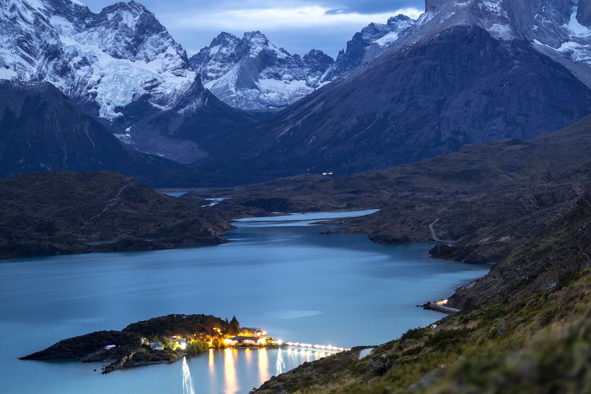
The granite towers themselves are not a secret, but the specific viewpoint at the base of the towers, reached after a 19-kilometer round-trip hike from the park entrance, delivers geology at a scale that resets your sense of proportion. The three towers of pink granite rise more than 2,500 meters from sea level and drop sheer into a milky turquoise glacial lake, and the combination of that blue-green water, white snow, and pink stone is the kind of color palette that looks digitally enhanced in photographs but is simply accurate. Leave the refugio at 4:30 a.m. to reach the viewpoint by sunrise, when the first light touches only the top third of the towers while the lake is still in shadow. Avoid December and January if crowds bother you; the park is quieter in late April, and the autumn beech trees add amber and gold that the summer photos entirely miss. Independent hikers planning the W or O circuits should know that CONAF (Chile’s national parks authority) operates a mandatory online reservation system for both routes, and permits routinely sell out four to six months in advance during the main season. Book through the official CONAF portal before arranging any other part of the trip.
8. Salar de Tara, Atacama, Chile
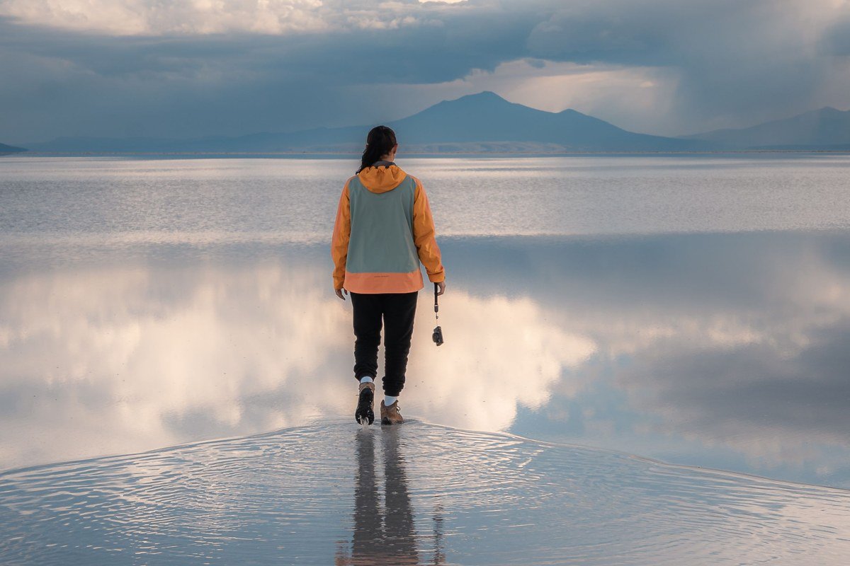
Less visited than Uyuni across the border in Bolivia, the Salar de Tara sits at nearly 4,500 meters in the Chilean puna and requires a full-day 4×4 excursion from San Pedro de Atacama. What you get is a completely uncrowded salt flat edged by volcanic cones, populated by vicunas and flamingos, with water reflections so clean and still that distinguishing sky from ground in photographs requires a horizon reference point. The rock formations on the eastern edge, locally called the Monjes de la Pacana, are dark volcanic columns that read as figures at certain light angles, where the phrase “earth still forming” becomes literal rather than poetic. The drive back to San Pedro passes the altiplano at golden hour, and the shadows cast across the salt surface in those final 40 minutes of daylight are worth every bone-rattling kilometer of dirt road to get there.
9. Fitz Roy Massif, El Chalten, Argentina
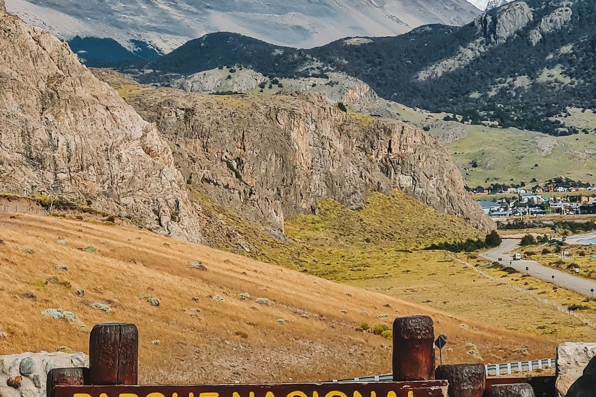
El Chalten is a small village with fewer than two thousand permanent residents and no traffic lights, sitting at the base of the Fitz Roy massif, a cluster of shark-tooth granite peaks that reliably produce the most dramatic alpenglow conditions in South America. The classic viewpoint is Laguna de los Tres, a glacial lake at 1,170 meters elevation requiring a steep final hour of trail, but the views from the lower approach through lenga beech forest have their own quality, especially in autumn when the trees go full amber. Unlike Torres del Paine, El Chalten has no park entrance fee and the trail network can be done independently without a guide. The famous Fitz Roy alpenglow window is roughly 20 minutes long at sunrise and depends entirely on cloud position, so plan to hike to Laguna de los Tres on multiple mornings rather than betting everything on one attempt. Accommodation in the village fills fast from November through February. Camping at Poincenot campsite (just below the final push to the laguna) is a well-regarded and popular option that keeps you close to the action without the pressure of walking up from the village before 4 a.m.
Practical Takeaway
These nine destinations share a few logistical realities worth knowing before you build an itinerary. Bolivia and northern Argentina’s altiplano sites (Laguna Colorada, Quebrada de Humahuaca, Salar de Tara) all require altitude acclimatization of at least two days in a lower town before ascending. Patagonia’s weather is famously unpredictable, and the rule for Fitz Roy and Torres del Paine is to budget extra nights rather than tight connections. Remember that Torres del Paine circuit permits must be secured through CONAF months ahead.
The Atacama sites cluster logically around San Pedro de Atacama and can be combined into five to seven days. Travelers continuing from the Atacama into Bolivia have a natural geographic extension available: the Uyuni salt flat crossing from San Pedro de Atacama via the altiplano border at Hito Cajón links directly to Laguna Colorada and the Eduardo Avaroa Reserve, making a continuous nine-to-twelve-day route through some of the highest and most visually concentrated desert terrain on earth. Most tour operators in San Pedro offer this crossing as a three-day overland trip with basic accommodation included.
Most of these places require a 4×4 or guided transfer for access, not a rental car on a paved road, so factor that into budgeting. The common thread across all nine is that early morning light rewards the effort to be there before the tour groups arrive, and that patience with weather will return images that no amount of editing can manufacture from a mediocre moment.