
At 7 a.m. in January, the Ounila River breathes. A thin mist lifts off the water and curls around the base of Aït Benhaddou’s pisé towers, turning the UNESCO ksar from a postcard landmark into something genuinely disorienting, as if the building is still deciding whether to appear. That is the specific quality the Atlas Mountains offer: not the polished drama of a famous view, but the unstable, threshold feeling of a landscape in process. It is the same quality that sends travelers to the Faroe Islands, and it is available here, across ten places that most visitors drive straight past.
1. Aït Benhaddou at Dusk
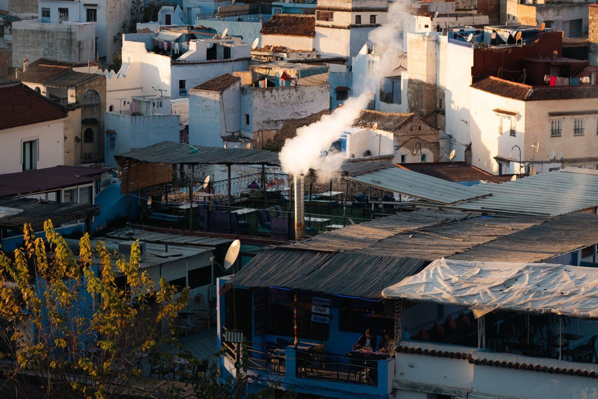
Most visitors arrive midday, photograph the iconic ksar from the riverbed in flat light, and leave. That is the wrong call. Return at dusk, when a thin mist rises off the Ounila River and the pisé towers glow the same deep amber as the sky behind them. The UNESCO-listed fortified village looks genuinely ancient at this hour because it is: families have occupied these earthen towers for centuries, and a handful still live inside the walls. Climb to the top of the ksar before the light drops completely for a panoramic view of the Draa Valley that reads, on camera, like a fantasy film set. Arrive in late November or early February, when tourist numbers are thin and morning fog lingers until nearly 9 a.m.
2. Imlil Valley in Winter Cloud
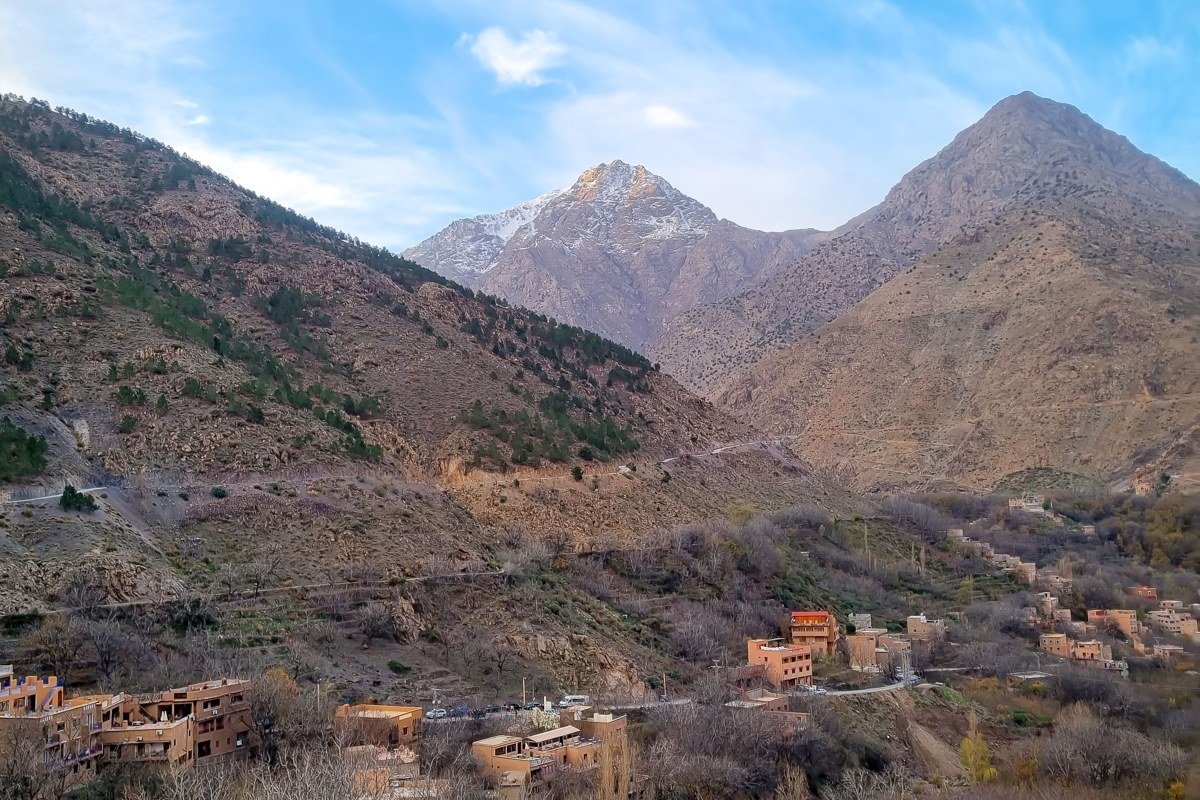
Imlil sits at roughly 1,740 metres in the High Atlas, and in January and February it routinely disappears into cloud banks that roll in off Jbel Toubkal (the highest peak in North Africa at 4,167 metres). The village itself is a working place, not a stage set: mule trains carry supplies up the valley, walnut orchards line the terraced fields, and the guesthouses are run almost entirely by local Berber families. The photogenic chaos of low clouds threading between the walnut trees and the snow line is precisely the visual tone that Faroe Islands travel imagery trades on. The best thing to do here is hire a local guide for a half-day walk toward the village of Aremd, higher up the valley, where cloud coverage is even denser. Most trekking agencies push the full Toubkal summit in summer. If your goal is atmosphere over altitude records, winter cloud-walking in Imlil is a different and more visually interesting experience.
3. Ouirgane Valley’s Hidden Cedar Forest
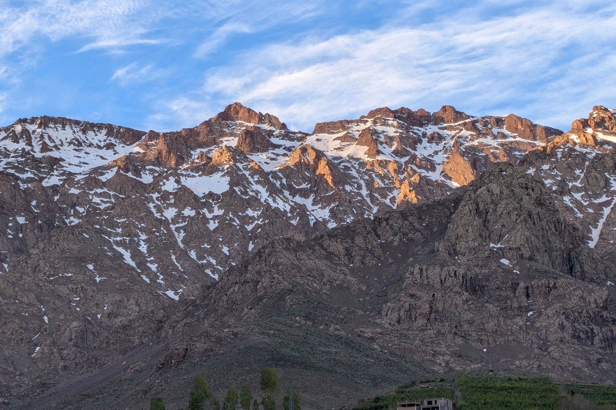
Between Marrakech and Imlil, the N9 road passes through Ouirgane, a valley most visitors miss entirely because they are focused on reaching Toubkal base camp. That is a genuine oversight. The valley holds pockets of Barbary cedar forest that trap morning mist in a way that looks more like the Scottish Highlands than Morocco. A Barbary macaque population lives in these trees, which adds a surreal wildlife layer to the landscape. The best single move here is renting horses from one of the small auberges in Ouirgane village and riding into the cedar stands just after sunrise, when condensation drips off the branches and the ground is still in full shadow. Avoid weekends in spring, when Marrakchi families arrive for day picnics and the valley loses its quiet.
4. Aït Bou Guemez, the Happy Valley
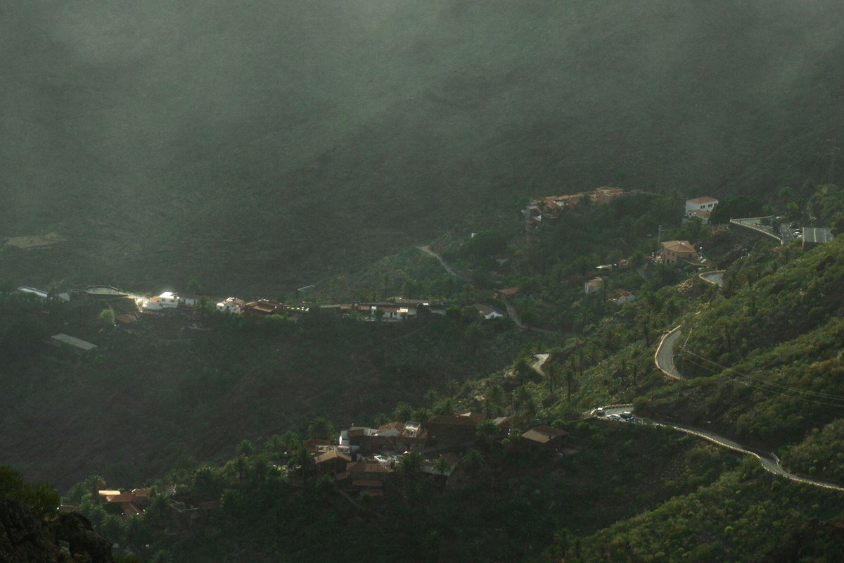
The Aït Bou Guemez is called the Happy Valley by locals, and the name is accurate but understated. It is a broad glacial valley at around 2,000 metres, ringed by peaks that stay snow-capped well into May, with a patchwork of barley terraces, mudbrick granaries (agadirs), and walnut groves that turn violent gold in October. Fog settles into the valley floor on clear nights and burns off slowly in the morning, creating a layered effect where the highest village (Agouti, at the valley’s eastern end) appears to float above the mist. The best photographic vantage is the trail above Tabant village at first light, looking back west across the entire valley. Getting here requires a shared taxi from Azilal that can take several hours on rough road, which is precisely why it remains largely unvisited.
5. Todra Gorge Under Winter Rain
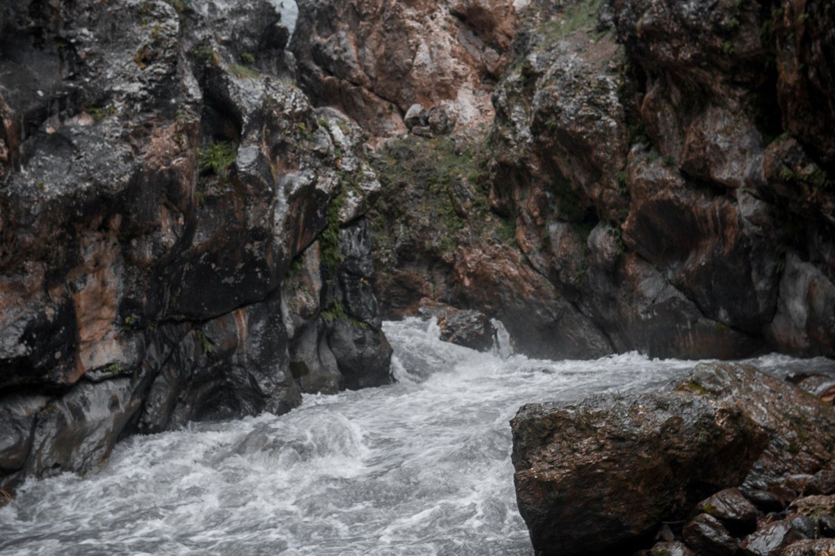
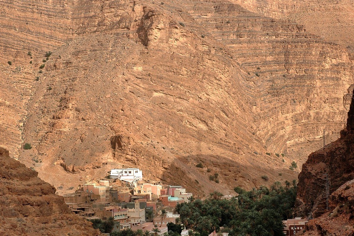
In summer, Todra Gorge is a canyoneering hotspot packed with tour buses. In late December or January, the 300-metre-high walls collect moisture from rare rainfall and exhale a faint mist that filters the light into something painterly. The gorge is cut through Haouz limestone, a formation whose iron content gives the rock its distinctive rose-red color, and in wet winter light that color deepens to something close to dried blood against the pale sky visible in the slot above. The gorge narrows to around 10 metres at its tightest point, and in wet weather the sound changes too: water streaking the walls produces a low, continuous resonance that the open summer gorge never generates. Walk the full narrow section (roughly 600 metres) at opening light before other visitors arrive, then retreat to the small auberges at the gorge entrance for mint tea. Accommodation inside the gorge is basic; come prepared for cold nights.
6. Zaouia Ahansal and the Glacial Lakes Above It
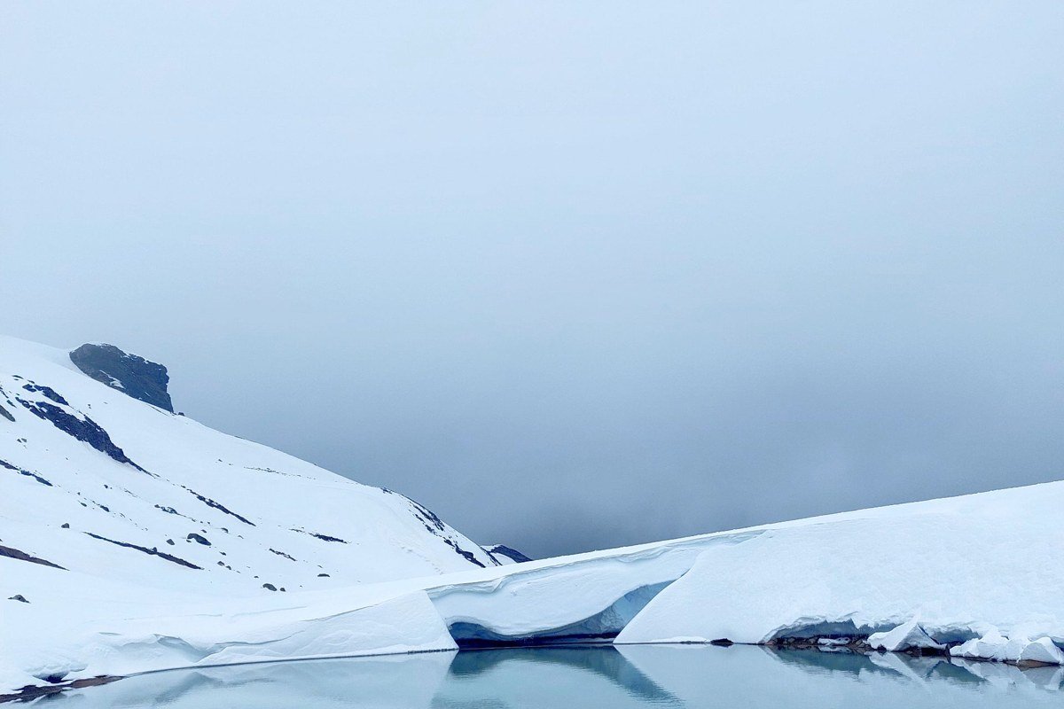
This is a legitimate edge-of-the-world destination, not a metaphor. Zaouia Ahansal is a small religious settlement and village deep in the Central High Atlas, accessible only via a long piste (dirt track) from Azilal or an even longer mule route from Aït Bou Guemez. Above the village, small glacial lakes sit in cirques that collect cloud and reflect snow-dusted peaks in a way that is, in a photograph, indistinguishable from something Norwegian. Gîte Ahansal, a simple but well-regarded guesthouse in the village, offers meals and basic dormitory or private rooms and can arrange local Berber guides for the lake circuits above. There is no formal tourism infrastructure beyond this. That is the point.
7. Midelt’s Plateau Edge at Sunrise
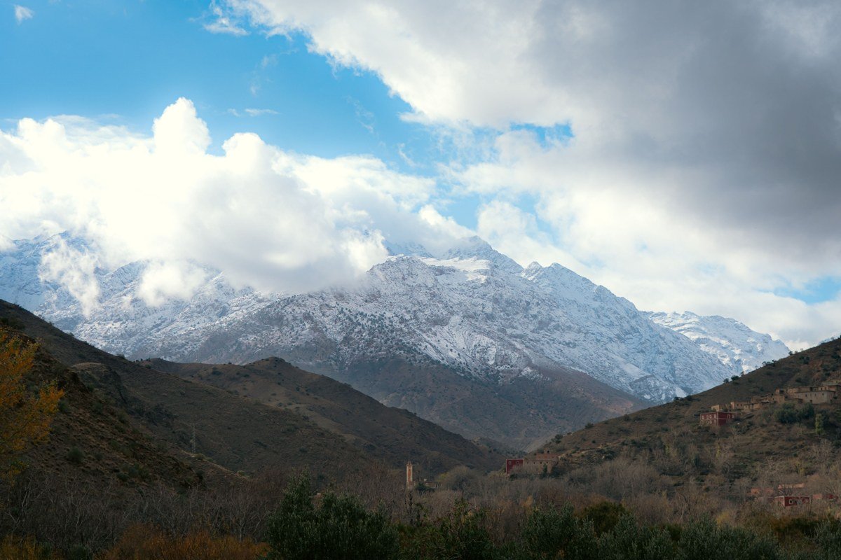
Midelt occupies a strange transitional zone between the Middle Atlas and High Atlas, sitting on a plateau at around 1,500 metres with Jbel Ayachi (3,757 metres) dominating the southern skyline. The plateau edge east of town catches the most extraordinary morning light: frost-covered scrub, a belt of cedar forest in the middle distance, and the snow flanks of Ayachi emerging from purple shadow. It is the kind of scene that reads as desolate in the best possible way. The town’s weekly souk sells semi-precious minerals and fossils, and this is worth treating seriously rather than skipping. The region yields genuine trilobite and orthoceras specimens in dark limestone matrix, along with amethyst and calcite clusters from the surrounding hills. Prices for authentic pieces are modest, typically a few dollars for small trilobites and up to thirty or forty for a well-preserved orthoceras slab, but tourist-grade pieces are abundant: avoid anything with obviously painted detail or implausibly vivid color on the matrix, which signals restoration work on low-quality specimens. October and March are the sweet spots for visiting, when snow on Ayachi is visible but road conditions remain manageable.
8. The Draa Valley’s Palmeries Near Agdz
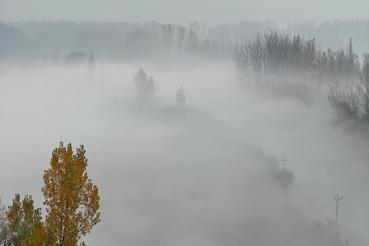
South of the High Atlas, the Draa Valley is a 200-kilometre ribbon of date palmeries, mud-brick kasbahs, and oasis villages stretching toward the Saharan pre-desert. The section between Agdz and Zagora is the most photogenic: a near-continuous corridor of date palms that collects a ground-level haze in the hours after dawn, particularly from November through February. Kasbahs such as Timiderte and Tamnougalt rise out of this fog like structures from another century. The best single frame here is from a slightly elevated road position looking south just after dawn, with the mist still pooled between the palms. The Draa Valley is a full day’s drive from Marrakech via the Tizi n’Tichka pass, so breaking the journey in Ouarzazate makes the drive enjoyable rather than punishing.
9. Tizi n’Test Pass in Cloud
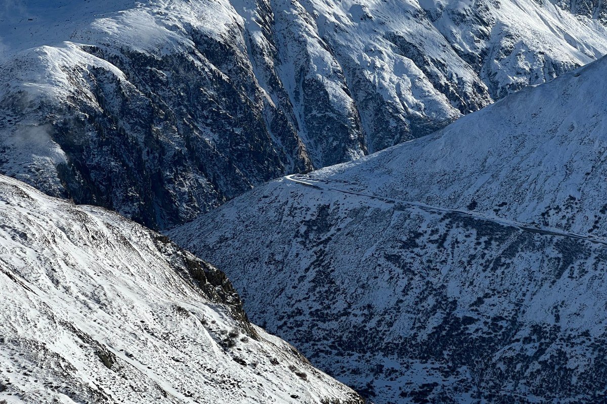
The Tizi n’Test is the western twin of the famous Tizi n’Tichka pass, and it sees a fraction of the traffic despite being more dramatic. The road climbs to 2,092 metres through switchbacks so tight that buses are not permitted. On the western descent, the pass regularly disappears into cloud systems rolling in off the Atlantic, creating a fog-tunnel driving experience that is equal parts terrifying and visually spectacular. Pull off at the small café near the summit for a long view back over the Souss Plain when the cloud breaks. The Tin Mal Mosque, a 12th-century Almohad ruin just below the pass, emerges out of mist in a way that no staged photography session could improve upon. Drive it westbound (from Taroudant to Marrakech) so the most dramatic views fall on the driver’s side.
10. Imilchil During the Shoulder Season
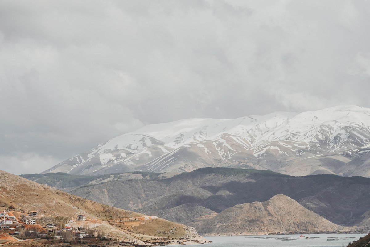
Imilchil sits at nearly 2,200 metres on a high plateau in the Central High Atlas, adjacent to two crater lakes whose Tamazight names carry the weight of a local legend worth knowing in full. Tislit means “the bride” and Isli means “the groom”: the story holds that two young people from warring clans loved each other and, forbidden to marry, wept until their tears became the lakes that now bear their names. The lakes sit perhaps 500 metres apart, visible from the same ridge, which gives the landscape a particular kind of charged stillness once you know what you are looking at. The famous September marriage moussem draws visitors, but the months just before and after it are where the real visual reward sits. In October, the plateau grasses turn straw-gold, the lakes are steel-grey under low cloud, and the surrounding peaks carry first snow. Berber nomadic tents (khima) are still occasionally visible on the surrounding hills at this time of year. The Gîte Tilmi, a small auberge in the nearby village of Tilmi, offers a practical base for exploring the plateau without committing to a full camping setup. The drive up from Midelt or Rich is rough but passable in a standard car with care. No other place in Morocco so consistently produces the Faroe Islands visual in its purest form: treeless plateau, cold water, low sky, and a human settlement that seems to belong to a different epoch.
Getting There and Making It Work
A practical shape for these destinations: fly into Marrakech and treat it as a base for the High Atlas (Imlil, Ouirgane, Tizi n’Test, Aït Bou Guemez). A second base in Ouarzazate opens the Draa Valley, Todra Gorge, and Aït Benhaddou. Midelt and Imilchil are most logically connected via a Marrakech-to-Fez traverse through the Middle Atlas.
The ideal window for the Faroe Islands-in-desert visual is November through February, when snow on the upper peaks, valley fog, and low light angle all combine. Summer is warmer and more accessible but loses most of the atmospheric moodiness that makes these places worth the journey. A 4×4 is not always required but is strongly recommended for Aït Bou Guemez, Zaouia Ahansal, and the rougher pistes around Imilchil. Local Berber guides are available in every village on this list and are worth the cost both for navigation and for understanding what you are actually looking at. Most charge reasonable day rates bookable directly through guesthouses, with no agency markup.