Zion’s Narrows Isn’t the Only Walk-In-Water Trail: 8 Southwest Canyons Where You Wade More Than You Hike

Zion National Park in Utah has the most famous wade-through-water hike in the country, but it isn’t the only one. Across the Southwest, a handful of canyons turn the usual hiking boots-and-blisters routine into something closer to a river walk, where the trail and the creek are the same thing for miles at a stretch. Some of these are weekend-easy from a major city, others take real planning, a permit lottery, or a long drive down a dirt road to even reach the trailhead.
Below are eight picks sorted by how much effort they ask of you, starting with the places you could do on a whim and ending with trips that need months of lead time. Zion’s Narrows anchors the list because it’s the benchmark the other seven get measured against, but if you’ve already done it, there’s a reason to keep reading.
The one everyone’s already heard of
The Narrows, Zion National Park, Utah
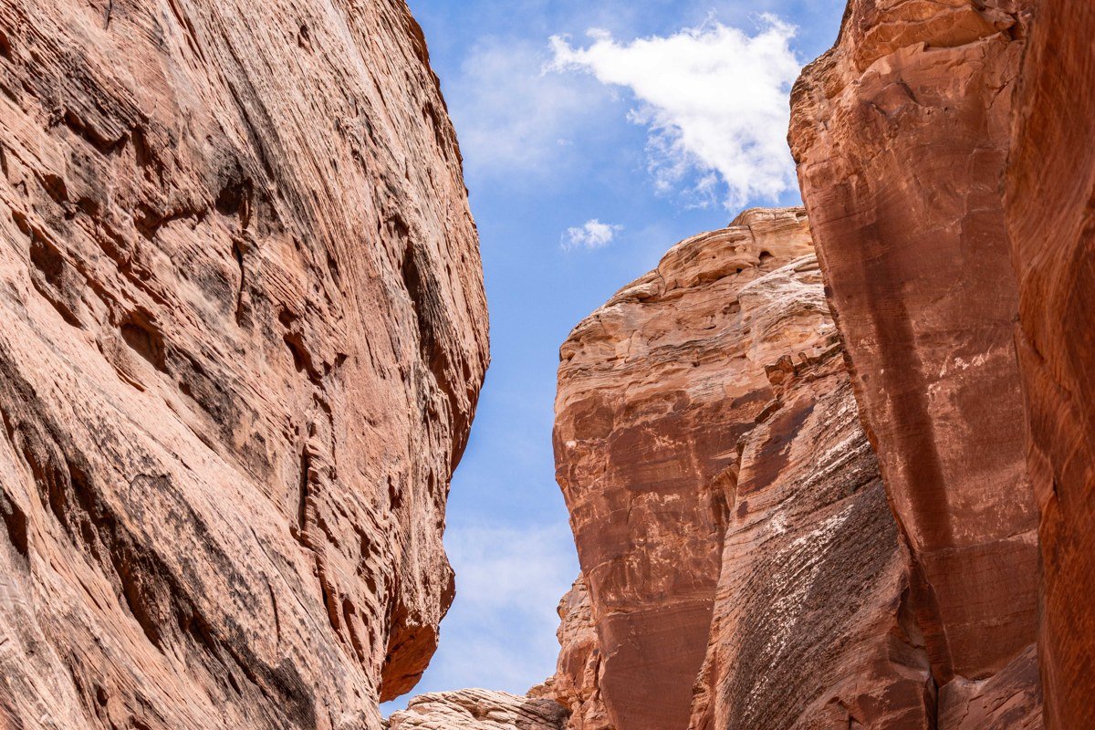
This is the one everyone means when they say “walk-in-water trail.” From the Temple of Sinawava, the last stop on the Zion Canyon shuttle, the paved Riverside Walk ends and the Virgin River itself becomes the trail. You can wade upstream for twenty minutes and turn around, or push for several hours into the gorge where the walls narrow to about twenty feet apart with roughly a thousand feet of sandstone above you at Wall Street, the canyon’s tightest point.
The bottom-up day hike needs no permit, just a rental canyoneering stick and neoprene socks or booties, available from outfitters like Zion Outfitter or Zion Adventure Company at the south entrance in Springdale. The full sixteen-mile top-down route through the park does require a permit, booked through the park’s lottery or last-minute drawing system, and that one fills quickly. Water temperature matters more than people expect: the Virgin River can run in the 40s and 50s Fahrenheit well into June, cold enough that a wetsuit rental, not just a walking stick, is the difference between an enjoyable hike and a miserable one. Flash flood risk is also real, not theoretical. Rangers close the canyon at the first hint of a storm cell anywhere upstream, and hikers have died from being swept off the trail, so check the flood forecast posted at the visitor center the morning you go, not the night before.
The hike draws over a hundred thousand visitors a year, more foot traffic than any other entry on this list combined, which is the actual argument for trying one of the alternatives below if crowds bother you.
Fifty-Foot Falls and the Left Fork, Zion National Park, Utah
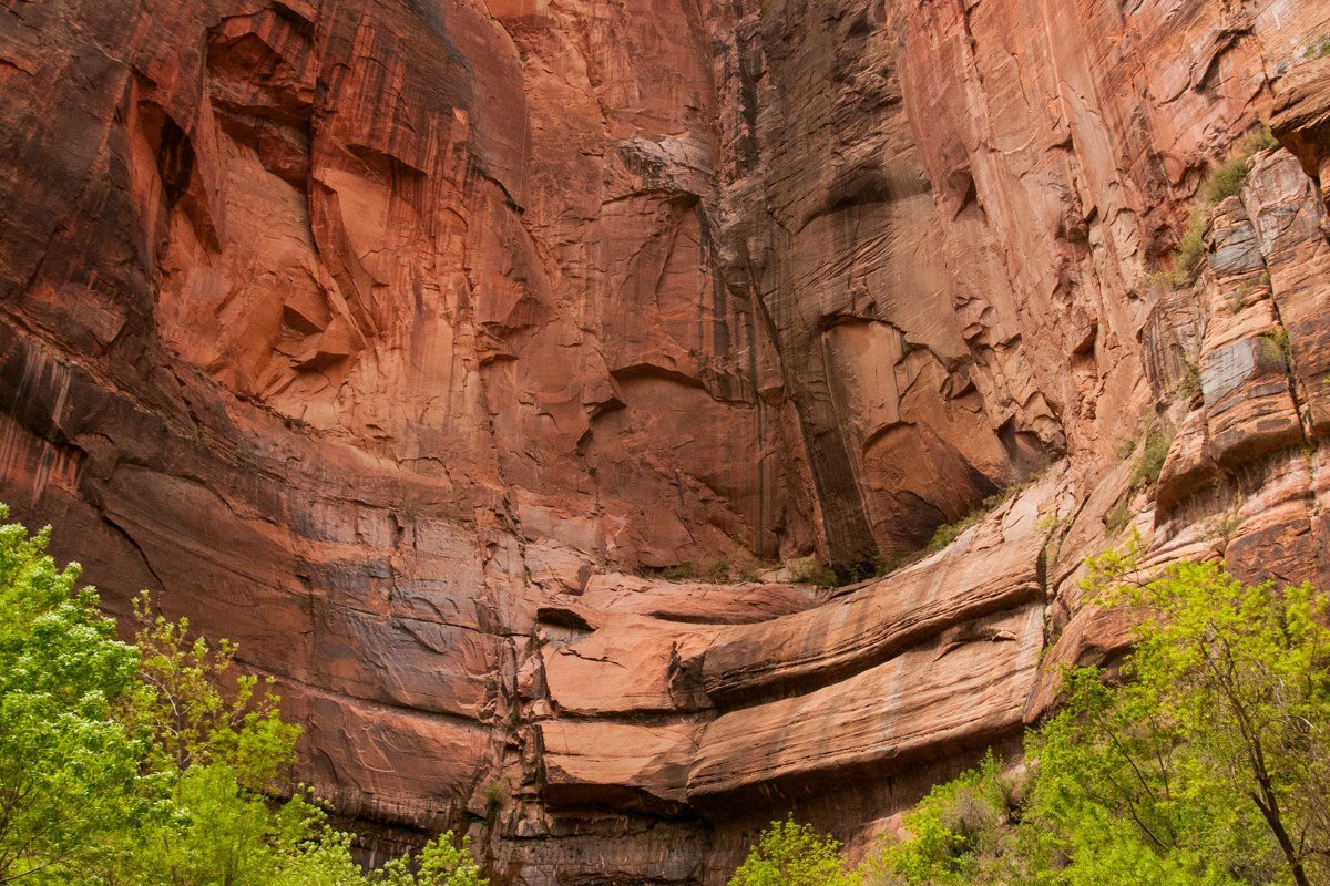
Stay inside Zion but skip the crowds entirely by heading to the Left Fork of North Creek, reached from the Kolob Terrace Road above the town of Virgin. The lower stretch to Fifty-Foot Falls involves repeated creek crossings and short wades through a cottonwood-shaded canyon that feels nothing like the main Zion Canyon corridor.
It’s a solid backup when the Narrows is closed for flooding, since this drainage sits in a different part of the park and sometimes stays open when the main canyon doesn’t. The famous Subway slot sits farther up this same canyon but needs a separate permit; Fifty-Foot Falls does not.
No permit is needed for the lower hike, which runs about 4 miles round trip with a dozen creek crossings. The unpaved Kolob Terrace Road access point is roughly 25 minutes from Zion Canyon by car, though the road itself closes seasonally after snow.
Worth the drive
Havasu Creek, Havasupai Reservation, Arizona
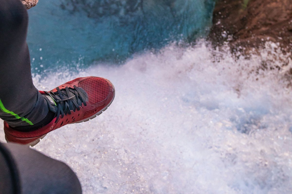
This isn’t a wade-through slot so much as a creek, colored by dissolved travertine minerals, that you keep crossing and swimming in for days. The ten-mile hike down to Supai village gets you to a series of waterfalls, but the real reward is the stretch below Havasu Falls, where the creek threads through travertine pools you’re meant to get into, not walk around.
Reservations here are the whole ballgame. Permits for the campground go on sale February 1 each year through the tribe’s official booking site, sell out within hours, and require a minimum three-night stay. There’s no day-hike option and no walk-up camping. If you don’t land a permit, don’t substitute a different trail here; try again the following February or look into the separate, more limited lodge reservations in Supai village.
Effort: Permit sale opens February 1 for the full year, 10-mile hike in, 3-night minimum stay, drive to the Hualapai Hilltop trailhead is about 4.5 hours from Las Vegas, Nevada.
Buckskin Gulch, Paria Canyon-Vermilion Cliffs Wilderness, Utah/Arizona border
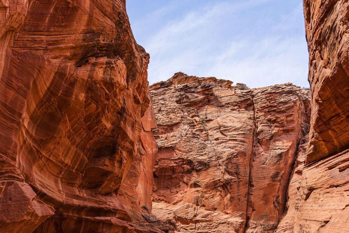
At roughly 15 miles long, this is the longest slot canyon in the Southwest, and a day trip from the Wire Pass trailhead drops you into a corridor so deep that direct sun barely reaches the sandy, often ankle-to-knee-deep wash at the bottom. Full traverses run multiple days with mandatory wading and the occasional chest-deep pothole you have to swim or lower yourself through.
This is not a casual outing. A day-use permit is required even for the short version, flash flood danger is severe because there’s almost no high ground to escape to for miles, and late summer monsoon season, roughly mid-July through mid-September, is the worst possible window to attempt it. Go in spring or fall instead, and check the NOAA forecast for the entire drainage above you, not just the trailhead.
Effort: Day-use permit required, available online in advance; day hike to the confluence and back is 6-9 miles; trailhead is about 1 hour from Kanab, Utah.
West Fork of Oak Creek, Coconino National Forest, Arizona
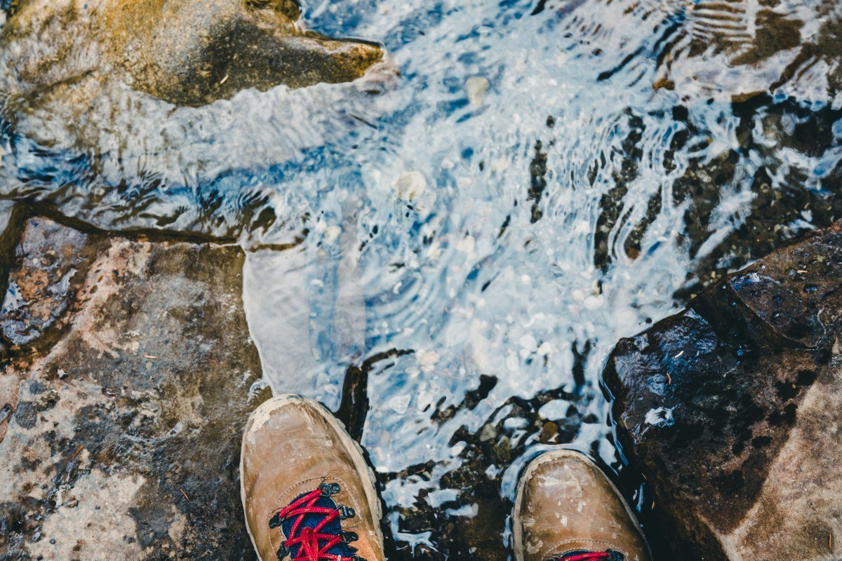
Just north of Sedona, Arizona, this is the gentler entry on this list: a well-trodden trail with a string of creek crossings on stepping stones and the occasional ford, running beneath canyon walls streaked with desert varnish. Fall is the signature season here, when cottonwoods and bigtooth maples turn gold against the red rock and the creek runs low enough for easy crossings, typically ankle-deep by October.
It’s popular enough that the trailhead parking lot fills by mid-morning on weekends, and there’s a day-use fee (an $11 Red Rock Pass or America the Beautiful pass) to park. This is the pick for someone who wants wet feet and canyon scenery without committing to wilderness-level route-finding.
Effort: No permit, just a trailhead parking fee, about 6 miles round trip to the official end with 13 creek crossings, 20 minutes north of Sedona, Arizona.
Earn it (long haul, big payoff)
The Subway, Zion National Park, Utah
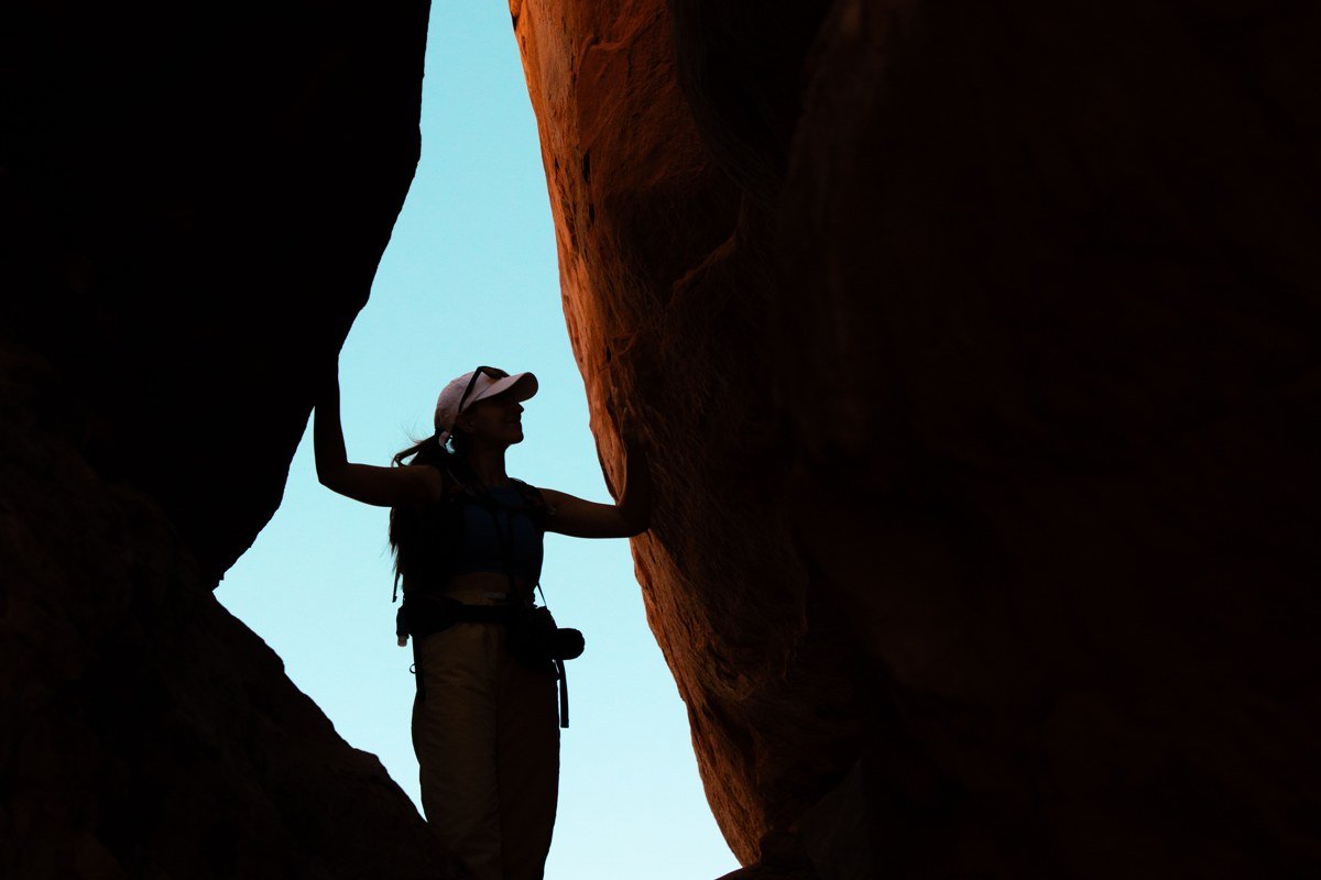
The top-down route to this tube-shaped slot is the hardest permit to land in Zion, and the hike itself involves rappels, route-finding through a boulder-choked canyon, and long stretches of wading and swimming in cold water even in summer. The bottom-up version is less technical but still a scramble-and-wade slog that takes most of a day.
Permits are lottery-based, capped at around 80 people per day split between top-down and bottom-up groups, which is exactly why the canyon still looks pristine. A wetsuit, not just a splash jacket, is worth renting even in July, because the deeper pools stay in the 50s Fahrenheit year-round.
Effort: Lottery permit required months ahead, 9-mile round trip bottom-up or a full-day technical route top-down, same Kolob Terrace Road access as Fifty-Foot Falls above.
Paria Canyon full traverse, Vermilion Cliffs National Monument, Utah/Arizona border
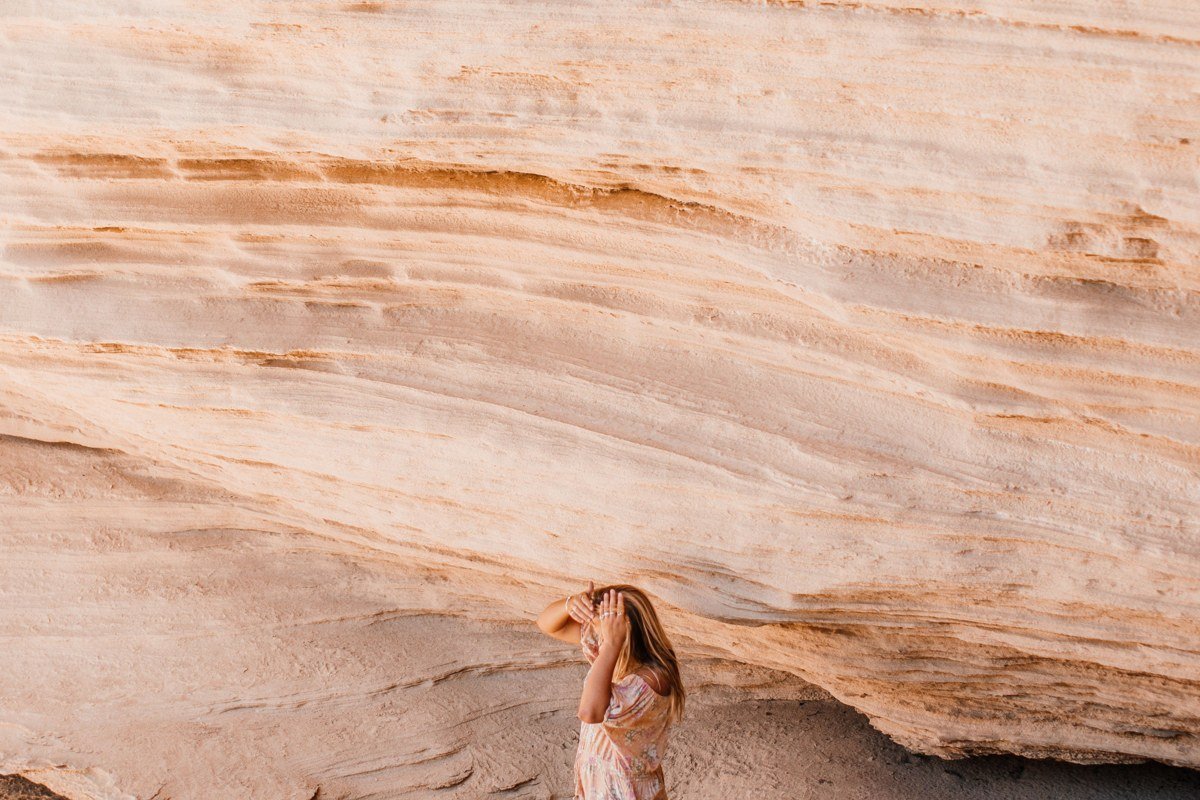
Where Buckskin Gulch is narrow and dark, the full Paria Canyon backpack is wide and striped: a 38-mile multi-day traverse where you cross and re-cross the Paria River dozens of times a day, camping on sandbars between walls that run several hundred feet high. It’s a longer water-trail backpack than anything else on this list, four days end to end against the Narrows’ single afternoon, and it’s correspondingly more permit-restricted, with a strict daily quota on overnight starts.
Water levels and quicksand patches shift year to year, so call the rangers at the Paria contact station before you go for current conditions, not last year’s trip report. Spring and fall are the only sane windows; summer brings monsoon flash flood risk and triple-digit heat on the exposed stretches.
Effort: Overnight permit required, booked well ahead through a quota system, 38 miles over 3 to 4 days typically, southern end near Lee’s Ferry, Arizona is about 2 hours from Page, Arizona.
The one to save for last
Barrier Canyon (Horseshoe Canyon), Canyonlands National Park, Utah
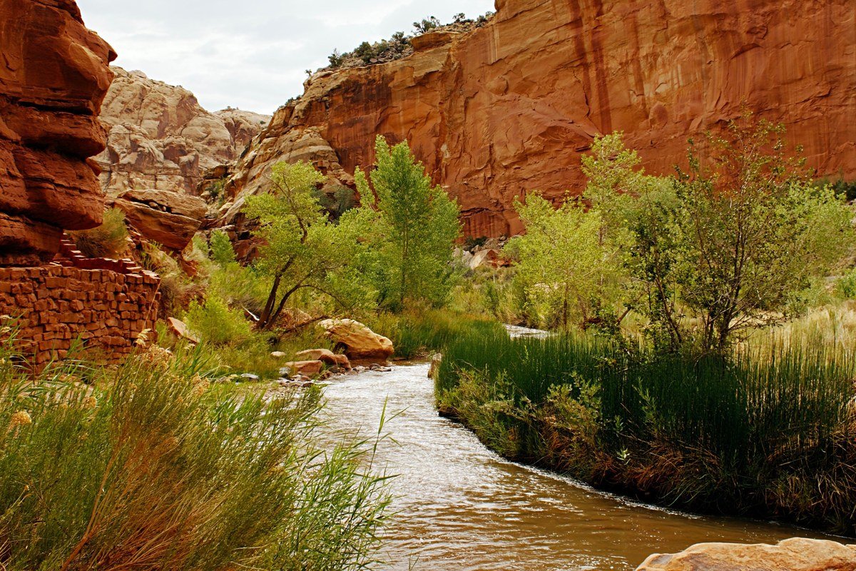
This one is for people who want solitude as much as water. Horseshoe Canyon is a detached unit of Canyonlands National Park, reached by a rough dirt road well outside the main park, and the hike down drops you into a wide wash you follow, and periodically wade, past some of the oldest rock art panels in North America, including the Great Gallery, with figures estimated at over 2,000 years old.
There’s no shuttle, no entrance station, and often no cell service for the drive in. Do this one as an add-on to a longer Utah canyon country trip rather than a standalone destination; the access road alone can take over an hour from pavement, and high-clearance is recommended even though four-wheel drive usually isn’t necessary in dry conditions.
No permit is required beyond standard park entrance, and the hike itself is free. It runs about 6.5 miles round trip, with the unpaved access road roughly 2 hours from Green River, Utah.
Most people start at the top of this list and work down, and that’s the right order. Do the Narrows bottom-up first to find out if you actually like having wet boots for six hours. If you do, the next trip up a tier means applying for a permit the same week it opens, renting a wetsuit instead of hoping for warm weather, and building your travel dates around a canyon’s quota system instead of your own calendar. The water doesn’t get less cold as the canyons get more remote, but the crowds do thin out fast.