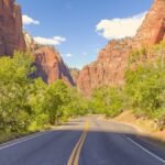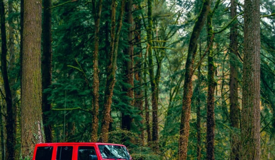

Mendocino, California sits on a wind-scraped headland where the fog rolls in so thick by late afternoon that the Victorian water towers disappear one floor at a time. Astoria, Oregon crouches under the mouth of the Columbia River, gray and wet and hung with ship traffic, the kind of town where the mist never really burns off, it just gets thinner. One is dry pine and cypress fog, the other is river fog mixed with rain that never commits to falling. Put them at opposite ends of a road trip and you’ve got a reason to skip the interstate entirely.
Most Pacific Northwest road trip itineraries funnel everyone onto Highway 101 for the same six overlooks and the same three lighthouses. This route runs parallel to that one, ducking inland and back out along back roads through Northern California, Oregon, and Washington, timed for the shoulder seasons when the fog is heaviest and the crowds haven’t shown up yet. Who this is for: travelers who’ve already done Highway 101’s greatest hits once, or anyone who wants a slower, moodier version of the same coastline without fighting RVs for parking.
At a glance
| Stop | Drive time from previous stop | One highlight |
|---|---|---|
| Mendocino, CA | (start, about 3.5 hrs from San Francisco) | Headland bluff trails with predictable afternoon fog |
| Point Arena, CA | 45 minutes | Climbable lighthouse, fee required |
| Founders Grove, Humboldt Redwoods, CA | about 1.5 hours | Half-mile loop through old-growth fog |
| Trinidad, CA | about 2 hours | Trinidad Head Trail and harbor seafood |
| Bandon, OR | about 3.5 hours | Face Rock sea stacks at low tide |
| Cape Arago, OR | 25 minutes | Sea lions audible through the fog |
| Yachats, OR | about 2 hours | Free, flat 804 Trail along the bluff |
| Oysterville, WA | several hours (peninsula detour) | Oyster-bay fog and 19th-century church |
| Astoria, OR | 45 minutes | Astoria Column view when the fog breaks |
Northern California fog country
This stretch runs along the Mendocino and Humboldt coasts, where redwoods meet marine fog and the two-lane roads have no shoulder to speak of. Plan on slow going, 35 to 45 mph average, and gas up before you leave any town of consequence.
Mendocino, California
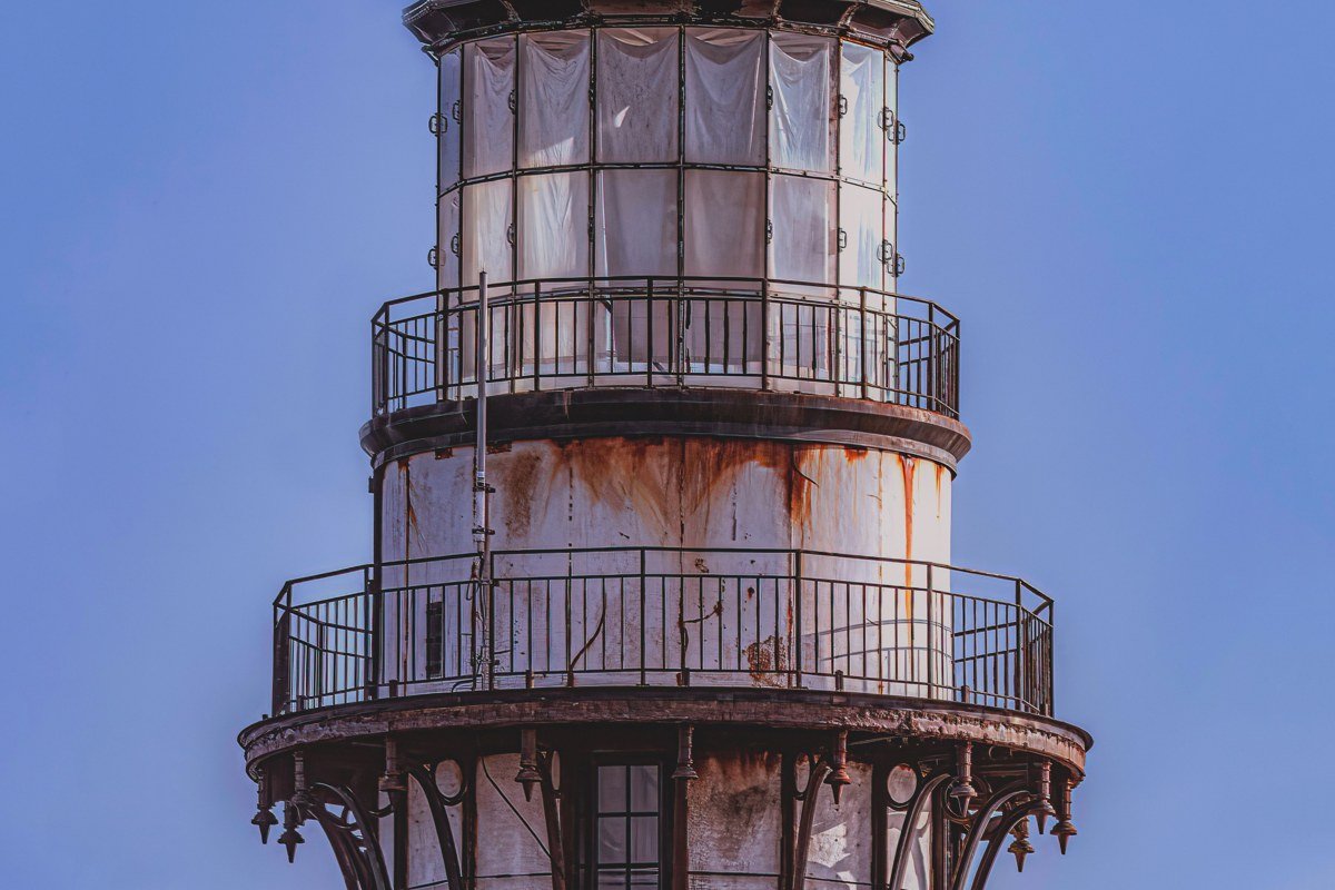
Mendocino is the obvious start, about 3.5 hours north of San Francisco on Highway 1, and it earns the detour despite being somewhat known already. The headland trails loop right along the bluffs, and in summer the fog usually sits offshore in the morning and creeps in by 3 or 4pm, which is the photogenic window everyone chases without realizing it’s predictable. Parking in town fills up fast on weekends from June through August, so arrive before 10am or plan to walk in from the lots near Mendocino Headlands State Park, which is free and open year-round. From here it’s a 45-minute run south on Highway 1 to Point Arena for a lighthouse without the gift-shop crowd.
Point Arena, California
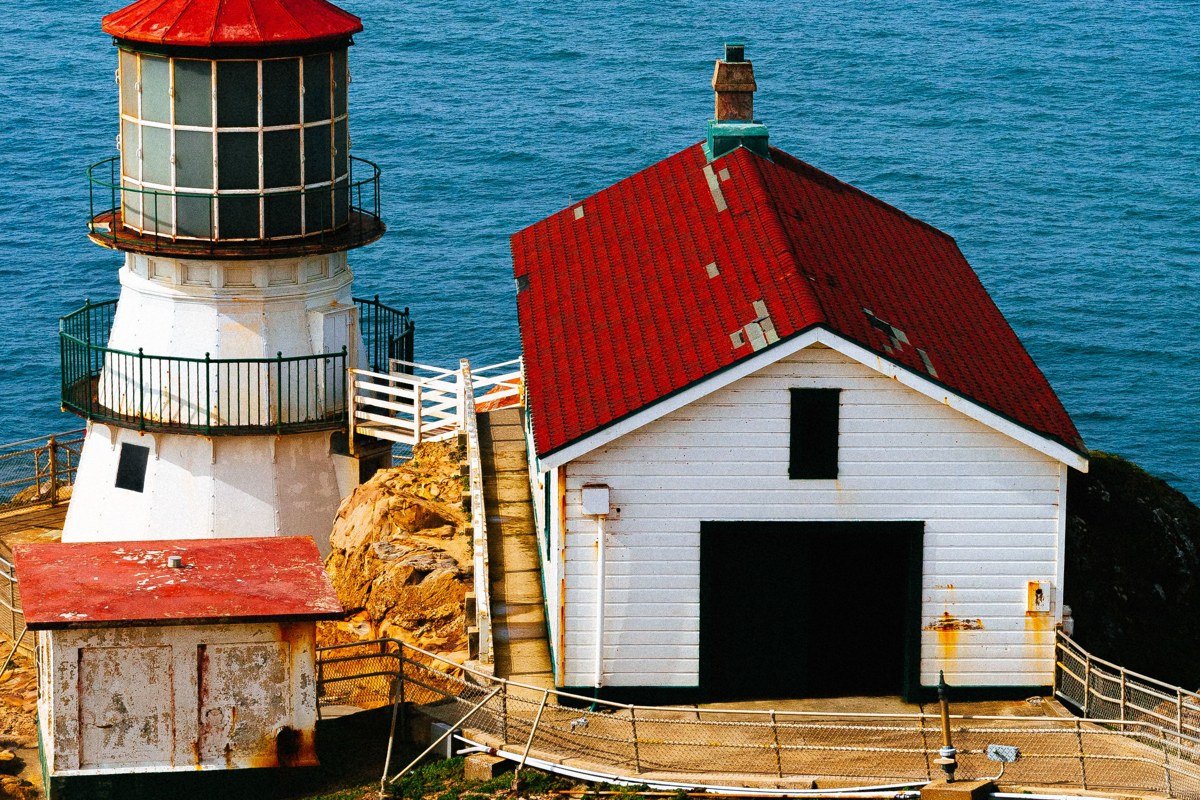
Point Arena gets skipped because it’s not on the way to anywhere else, which is exactly the appeal. At 115 feet, the Point Arena Lighthouse is the tallest lighthouse open to the public on the West Coast, and climbing to the top costs a modest admission fee, unlike most California lighthouses that keep you behind a fence. The tower closes at dusk, and hours shift seasonally, so check ahead if you’re arriving late in the day. The town itself is two blocks long and the fog off Arena Cove has a particular low, rolling quality because the point juts further west than most of the coastline around it. Backtrack 45 minutes north to Mendocino for dinner once the lighthouse shuts down.
Founders Grove, Humboldt Redwoods State Park, California
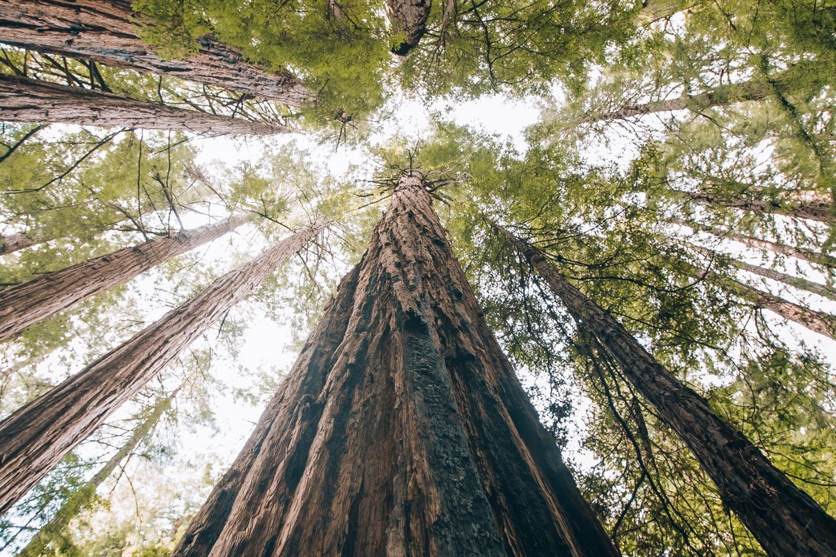
Fog behaves differently under redwoods. It doesn’t roll, it hangs, filtering light down in shafts that make the understory glow pale green. Founders Grove is an easy half-mile loop, paved and flat, which matters because most people driving this route are trying to cover ground and won’t detour for a serious hike. It’s just off the Avenue of the Giants, the old alignment of 101 that Highway 101 itself now bypasses, so traffic here is a fraction of what’s on the modern highway a few miles east. There’s no entrance fee for the grove itself. Trinidad is about two hours north, where the redwood fog gives way to coastal fog again.
Oregon’s quiet south coast
North of the California border, Highway 101 gets busier again around the famous dunes and Cannon Beach. This cluster stays south and inland of that, in the stretch most itineraries drive through without stopping.
Trinidad, California
Trinidad is a working fishing harbor, small enough that you can see the whole town from the bluff above it, and the morning fog here tends to burn off earlier than Mendocino’s because the headland is more exposed to wind. It’s the last proper town before the Oregon border starts to feel close, and the seafood at the harbor-side stands is better and cheaper than anything comparable further south. Trinidad Head Trail loops the lighthouse point in under an hour, about 1.3 miles round trip, and is one of the few short hikes on this whole route with real elevation gain. Bandon, the next real stop worth the brakes, is about 3.5 hours north across the state line.
Bandon, Oregon
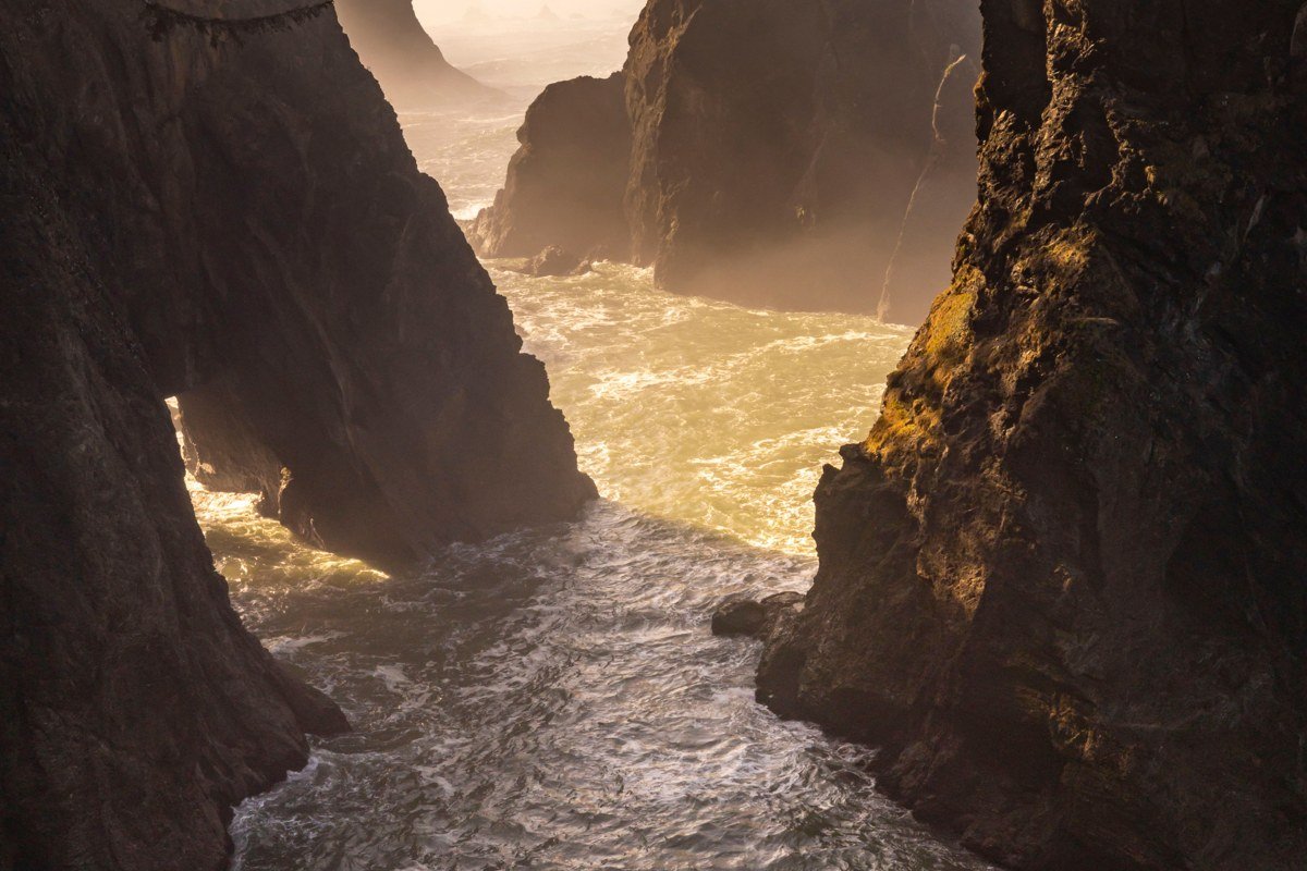
Bandon, Oregon gets a fraction of Cannon Beach’s visitors despite having its own dramatic sea stacks at Face Rock. The fog tends to sit just offshore here, softening the sea stacks without obscuring them, which makes for better photography than a total whiteout. Low tide reveals tide pools worth an hour of wandering at the Face Rock State Scenic Viewpoint, which has a free parking lot right above the beach access stairs, so check tide tables before you plan your stop. Cape Arago is 25 minutes north near Charleston, for tide pools and a lighthouse view without a crowd.
Cape Arago, Oregon
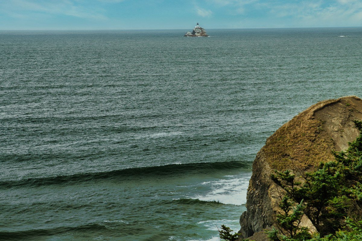
Cape Arago State Park sits at the end of Cape Arago Highway, a road a surprising number of Oregon coast itineraries never mention, partly because it’s a dead end rather than a drive-through. Sea lions haul out on the rocks below, audible before you see them through the fog, and the short trails along the headland are uncrowded even in July. The road out to the cape passes Sunset Bay and Shore Acres, both worth five minutes each (Shore Acres charges a small day-use fee), but Cape Arago itself is free and where people actually linger. Bandon is 25 minutes south, if you’re basing yourself there for the night.
The central Oregon coast, inland detours
This cluster swings slightly away from the water, through valleys and small river towns that most 101 road trips bypass entirely because they require leaving the highway.
Yachats, Oregon
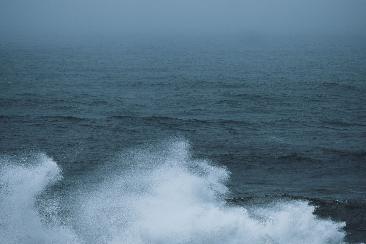
Yachats, pronounced YAH-hots, is small enough to miss if you’re not looking, wedged between the Siuslaw National Forest and a rocky shoreline that has none of the sandy beaches tourists associate with the Oregon coast. The 804 Trail runs along the bluff right through town for just under a mile, free, flat, and almost always foggy in the morning. This is also roughly the halfway point of the whole Mendocino-to-Astoria route, a reasonable place to break a longer trip into two legs if you’re doing this as part of a 10-day or 14-day Pacific Northwest road trip rather than rushing it in under a week. Cape Arago is about two hours south, if you’re still working your way up the coast that day.
Oysterville, Washington

Crossing into Washington, Oysterville sits on the Long Beach Peninsula and is barely a town at all: a scatter of 19th-century houses and an old white church around a bay thick with oyster beds. The fog off Willapa Bay has a brackish, working-harbor smell to it that’s different from the open-ocean fog further south, and almost nobody stops here because it requires leaving Highway 101 for a 20-minute detour up Route 103 to the peninsula’s tip. It’s worth it for the quiet alone, especially after the relatively busier stretch around Long Beach itself. Astoria, the final stop on this route, is about 45 minutes north across the Astoria-Megler Bridge.
Astoria, Oregon
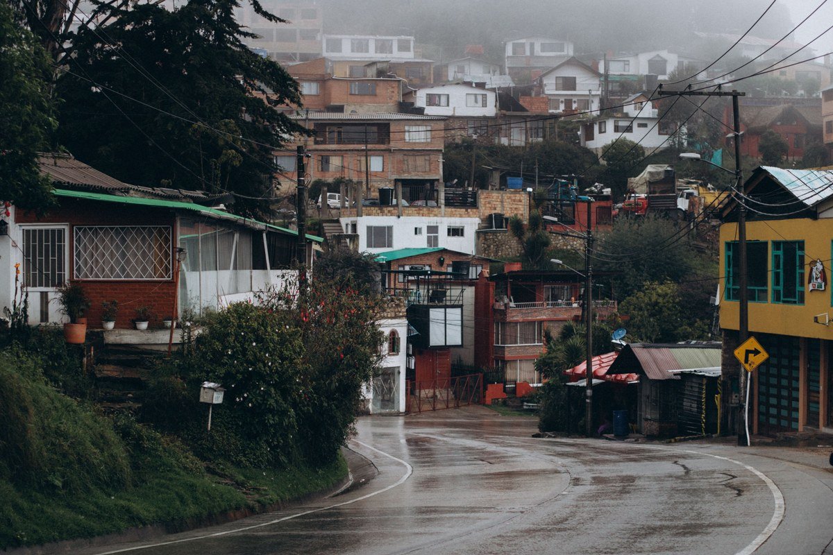
Astoria ends the trip at the mouth of the Columbia River, where container ships and fishing boats move through fog that rarely fully lifts even in August. The Astoria Column up on Coxcomb Hill charges a small parking fee and gives you a view over the whole town and river when the fog breaks, though you should expect to wait it out with coffee rather than count on clear skies on any fixed schedule. This is also one of the more useful endpoints for travelers asking how long a Pacific Northwest road trip should be: Astoria connects easily north to Washington’s Olympic Peninsula and Seattle, about 4.5 hours by car, if you want to keep going rather than turn back. If Astoria’s hotels are booked, Oysterville, 45 minutes south, makes a quieter home base.
The best time for this particular route runs late September through early November, when summer crowds thin out, the fog is reliably thick in the mornings, and coastal towns haven’t shifted into winter-storm mode yet (storm season picks up hard by December, with some coastal roads seeing debris and closures after heavy wind events). Summer works too, but June fog along this stretch, which locals sometimes call “June gloom,” can sit all day rather than burning off by afternoon, which some travelers find moody and others find simply gray for ten straight days.
For a long weekend, pick one cluster rather than the whole 500-plus miles. The Northern California fog country cluster suits a 3-day trip out of San Francisco with no highway driving after dark. The central Oregon coast cluster works better flying into Portland, renting a car, and doing a loop that gets you back to the airport in under 5 days without feeling rushed.