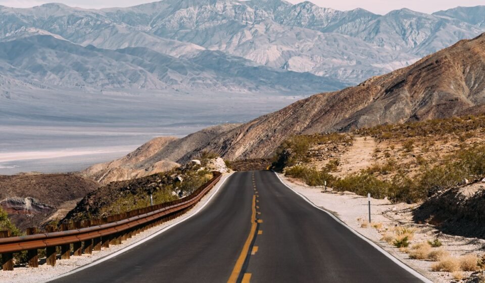

Winter is the only season when Death Valley’s average high stays in the comfortable 60s and 70s (January averages a high around 67°F, a low around 40°F at Furnace Creek) instead of the 110s that define its reputation. That changes which stops are worth your time. Here are nine places that make sense once the thermometer reads 60 instead of 115, plus the practical numbers for actually planning the trip: entrance is $30 per vehicle for a 7-day pass, and Furnace Creek lodging runs from basic motel rooms up to resort rates, with the Texas Spring and Furnace Creek campgrounds (first-come or reservable depending on season) as the budget option at $14 to $22 a night.
Badwater Basin, California
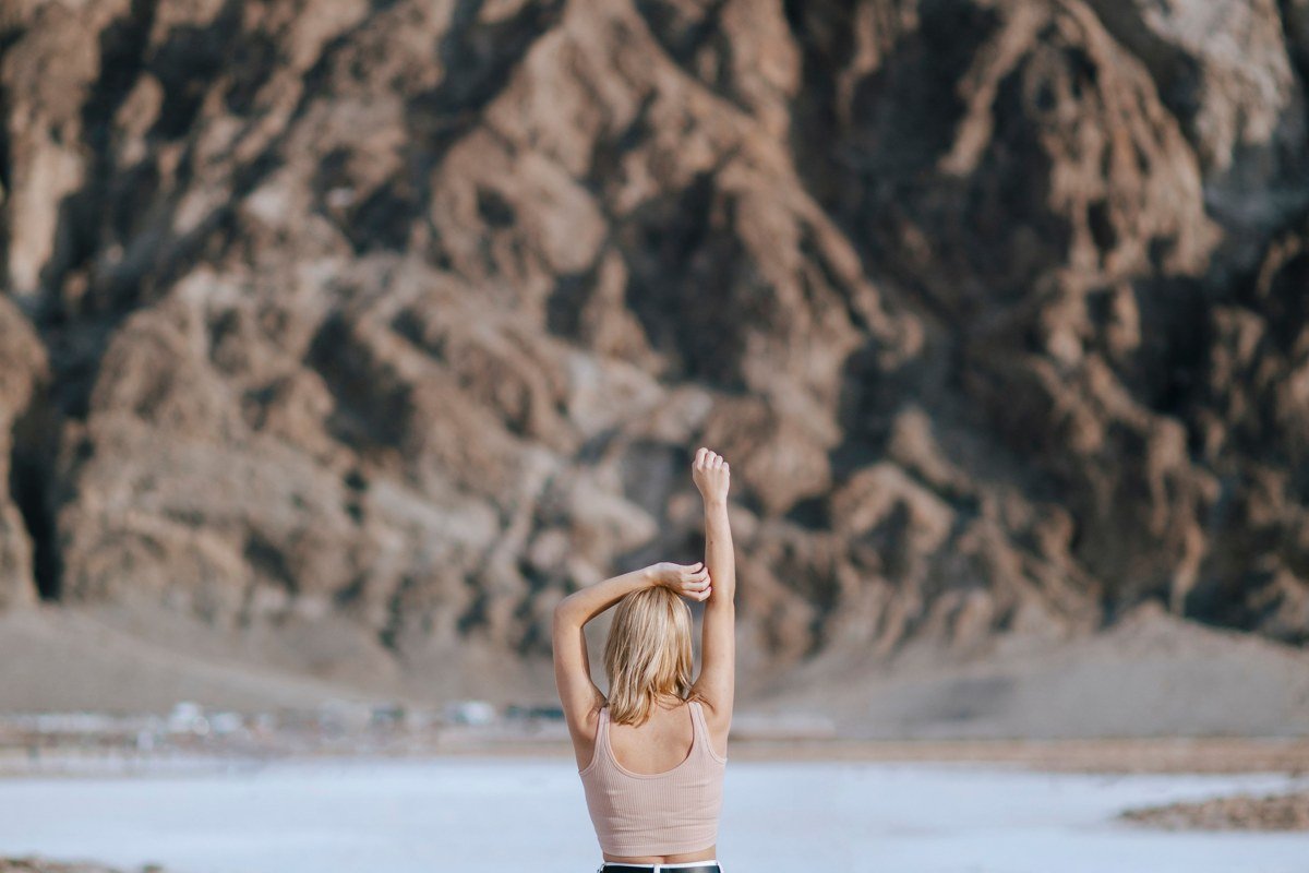
This is the lowest point in North America, 282 feet below sea level, and in winter you can walk the full stretch of salt flat without rationing water. The crust forms honeycomb patterns that sharpen after rain, so a wet winter is a good winter for this stop. Early morning light turns the salt pink and gold before the tour buses arrive.
Worth knowing: The parking lot fills by mid-morning in high season (December through March); come at sunrise or after 4 pm instead.
Skip if: You need shade. There is none, at any time of year, for the entire walk out.
Zabriskie Point, California
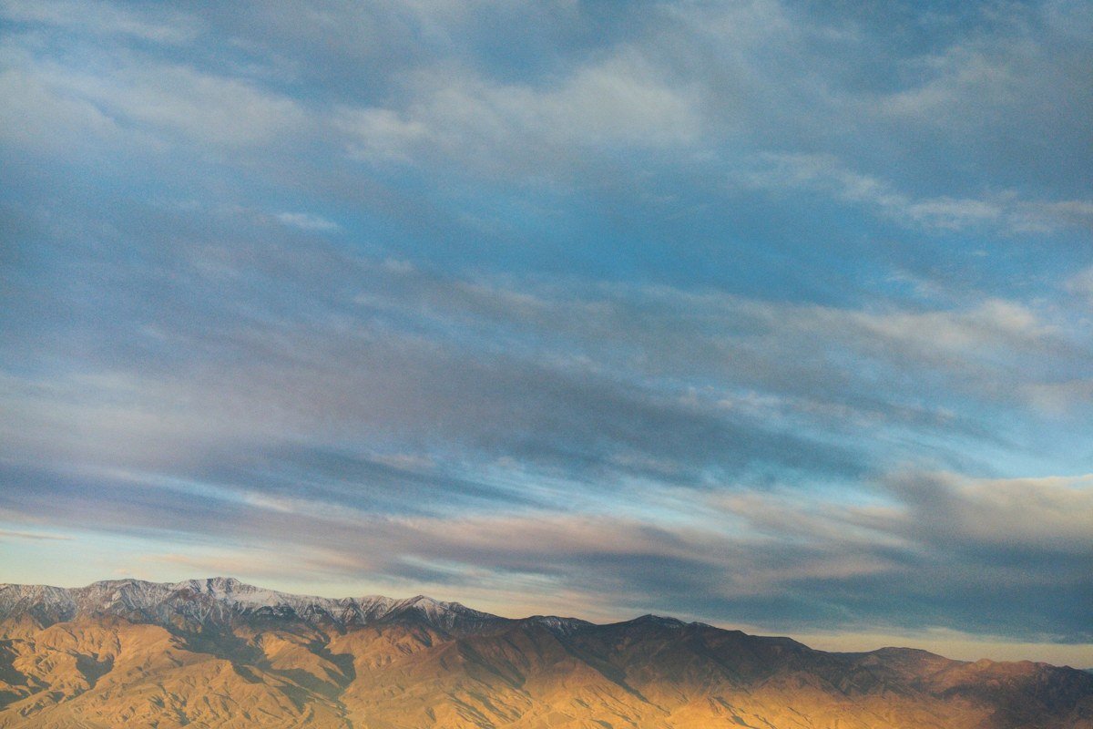
The eroded gold and rust badlands below this overlook are the source of half the postcards from this park. It’s a two-minute walk from the parking area to the main viewpoint, making it one of the few spots here that rewards people who don’t want to hike. Sunrise is the move: the low light rakes across the ridgelines and the crowd is thinner than at sunset.
Worth knowing: Cell service is nonexistent here and for most of the park, so download offline maps before you leave Furnace Creek.
Skip if: You’re only doing sunset stops. This one is built for mornings.
Dante’s View, California
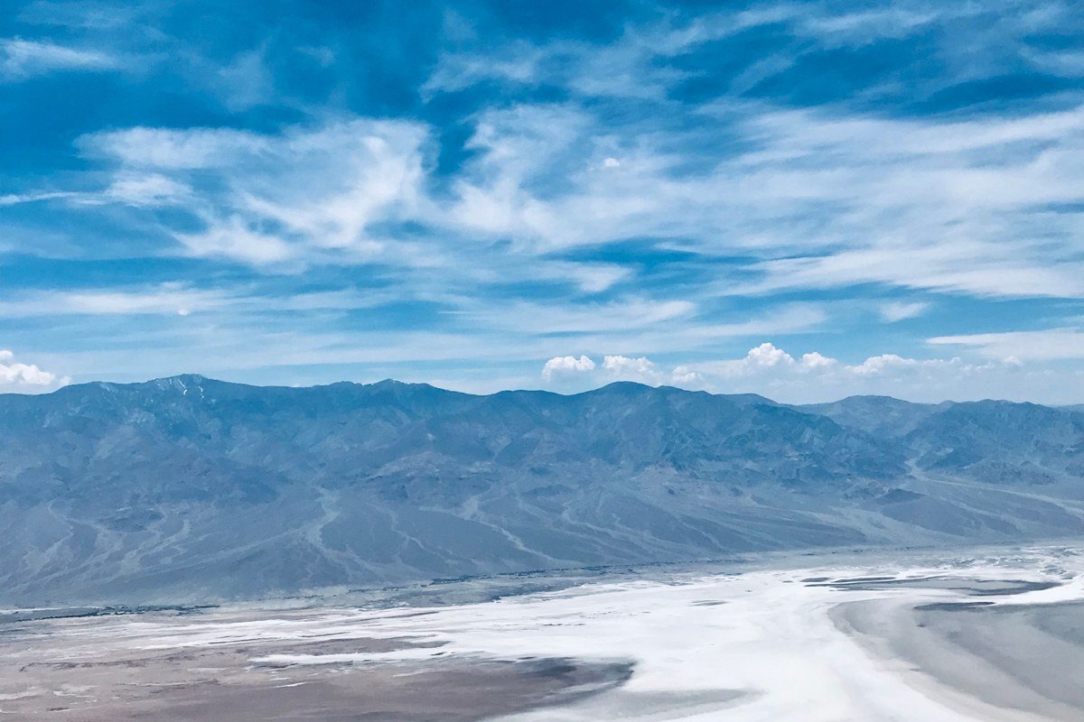
From 5,475 feet, you can see Badwater Basin directly below and, on a clear winter day, the snow-dusted Panamint Range across the valley, often holding snow above about 7,000 feet from December into February. It’s one of the few places in the park where you’ll want a jacket; expect temperatures a good 20 degrees cooler than the valley floor.
Worth knowing: The access road climbs steeply and isn’t maintained for ice; call ahead or check the park website after any winter storm.
Skip if: You’re pressed for time. It’s a detour off the main road, roughly an hour round trip from Furnace Creek.
Artists Palette, California
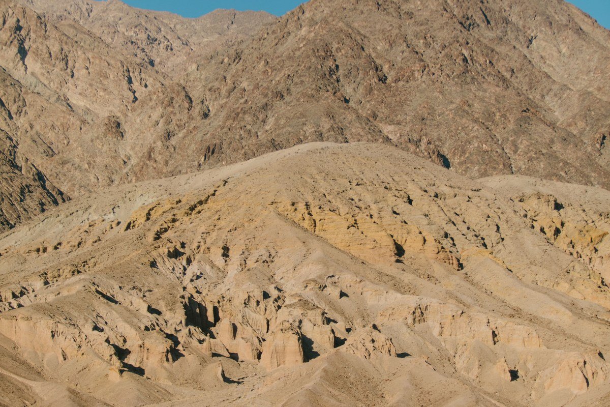
The one-way scenic drive through Artists Drive winds past hillsides streaked with green, pink, lavender, and gold from oxidized metals in volcanic rock. Midafternoon light works better here than golden hour, since the sun needs to sit high enough to hit the hillsides directly. Winter means you can linger at the pullouts instead of rushing the nine-mile loop.
Worth knowing: The road is one-way, paved, and narrow in spots, not suited to large RVs or trailers.
Skip if: You’re driving anything oversized. Park it and come back in a regular car or rental.
Mesquite Flat Sand Dunes, California
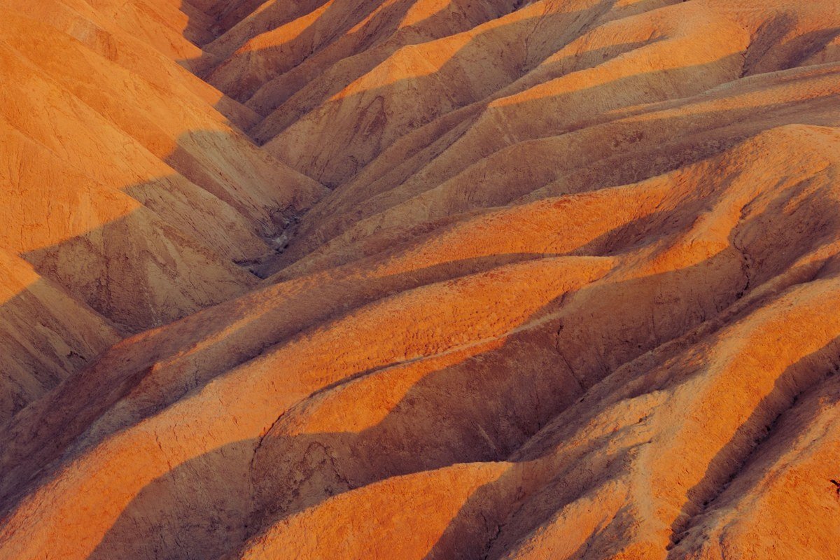
These are the most accessible dunes in the park, visible right from the main road near Stovepipe Wells, and winter is when people climb them instead of photographing them from the car. Early light casts long shadows across the ripples, and the sand stays cool enough to walk barefoot. Full moon nights in winter draw a small but loyal crowd for night walks.
Worth knowing: There’s no marked trail, just open sand, so footprints from the day before are usually gone by your next sunrise visit.
Skip if: You have mobility issues. The sand is loose and the dunes have real elevation gain for how casual they look in photos.
Ubehebe Crater, California
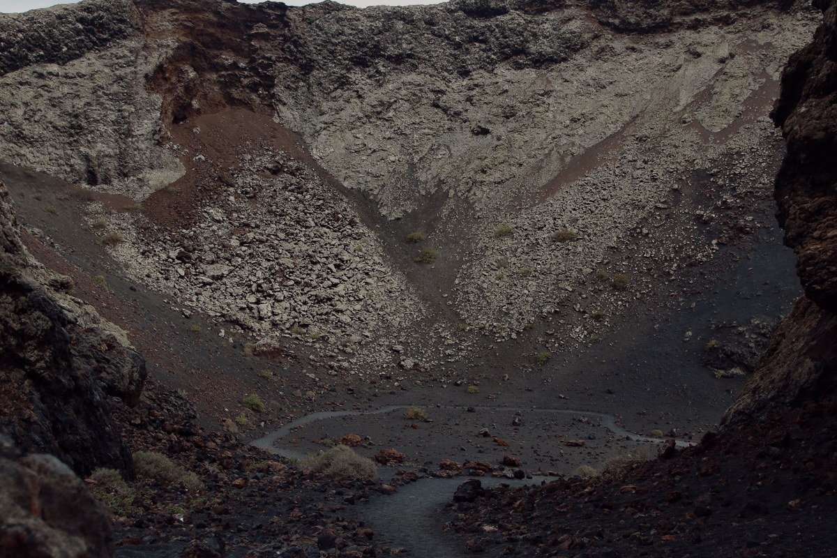
This half-mile-wide volcanic crater sits in the park’s quieter northern section, roughly 5,000 feet lower in elevation than Dante’s View but still consistently windy, with gusts that make exposed stretches of the rim trail feel ten degrees colder than the forecast. In summer that same rim trail is a heat hazard with zero shade; in winter it’s a brisk, scenic walk around colorful layered rock.
Worth knowing: It’s about 55 miles from Furnace Creek, so build in close to two hours of driving each way.
Skip if: You’re short on daylight or gas. There’s no fuel up here, and the loop out and back eats a chunk of a day.
Telescope Peak Trail, California
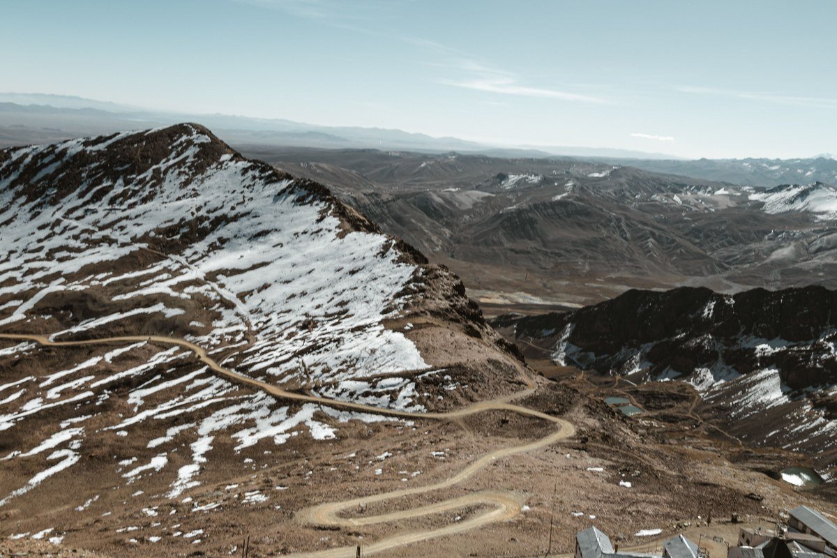
At 11,049 feet, this is the highest point in the park, and it typically holds snow from around late November through April, with drifts on the upper mile commonly running one to three feet deep in a normal year. The 14-mile round-trip trail starts at Mahogany Flat Campground; the unpaved access road up from Wildrose, Thorndike, and Mahogany Flat is usually gated or impassable in a standard car once snow hits, and the Park Service has closed it outright in past winters after heavier storms. No permit is required, but microspikes or crampons and an ice axe are standard gear for the upper section.
Worth knowing: Check the NPS road conditions page before committing; a 4WD vehicle with clearance, or a willingness to start the hike miles lower at Wildrose, is the realistic winter plan.
Skip if: You’re not an experienced winter hiker. This isn’t a stroll.
Rhyolite Ghost Town, Nevada
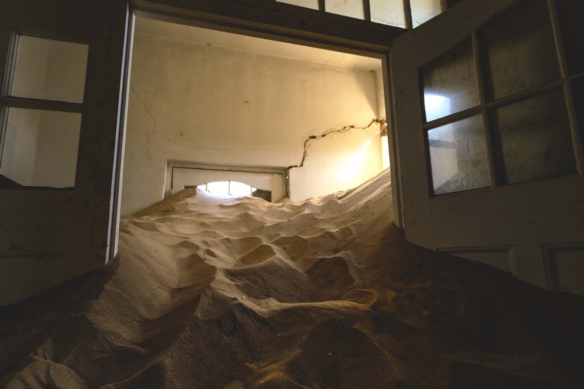
Just over the state line in Nevada, about 35 minutes from the park’s eastern entrance, Rhyolite was a gold-mining boomtown of several thousand people in the early 1900s and collapsed within about a decade once the ore ran out. What’s left is a three-story bank facade, a bottle house, and scattered foundations. Winter light suits the crumbling brick and glass, and mild temperatures mean you’ll actually wander the whole site instead of ducking back to the car.
Worth knowing: There’s no fee and no gate, but also no services, so bring water and gas before you detour out here.
Skip if: Ghost towns bore you. This is strictly for people who like ruins and old mining history.
Death Valley Junction, California

Death Valley Junction is a crossroads with a hotel and a theater, about 30 minutes east of Furnace Creek. The draw is the Amargosa Opera House: dancer Marta Becket found the abandoned adobe theater in 1967 after a flat tire stranded her here, then spent the following decades painting its walls and ceiling with murals of an imagined audience. Becket performed into her 80s; she died in 2017, and the theater still runs a limited slate of performances and tours today.
Worth knowing: Performances and tours run on a limited schedule (typically weekends in season), so check the current calendar before driving out rather than showing up and hoping.
Skip if: You’re doing a one-day, sights-only blitz. This stop needs a spare hour, not a checklist.
Mistakes people make
- Treating the whole park as one climate zone. Furnace Creek at sea level and Telescope Peak at 11,000 feet can differ by 30 degrees or more on the same afternoon; dress and plan for both.
- Assuming winter means empty. By most measures, including stargazing conditions and comfortable hiking temperatures, November through March is Death Valley’s busiest stretch, and that’s also when school breaks and snowbirds crowd Furnace Creek lodging. Book ahead for Christmas week and Presidents’ Day week specifically.
- Writing off Death Valley because of its name and its reputation as the hottest place on earth. That reputation is a summer story, built on summer numbers (highs regularly above 115°F from June through August). The winter version, cool air, clear night skies, and roads you can actually enjoy driving, runs on a completely different set of averages, and it’s worth planning around those instead.