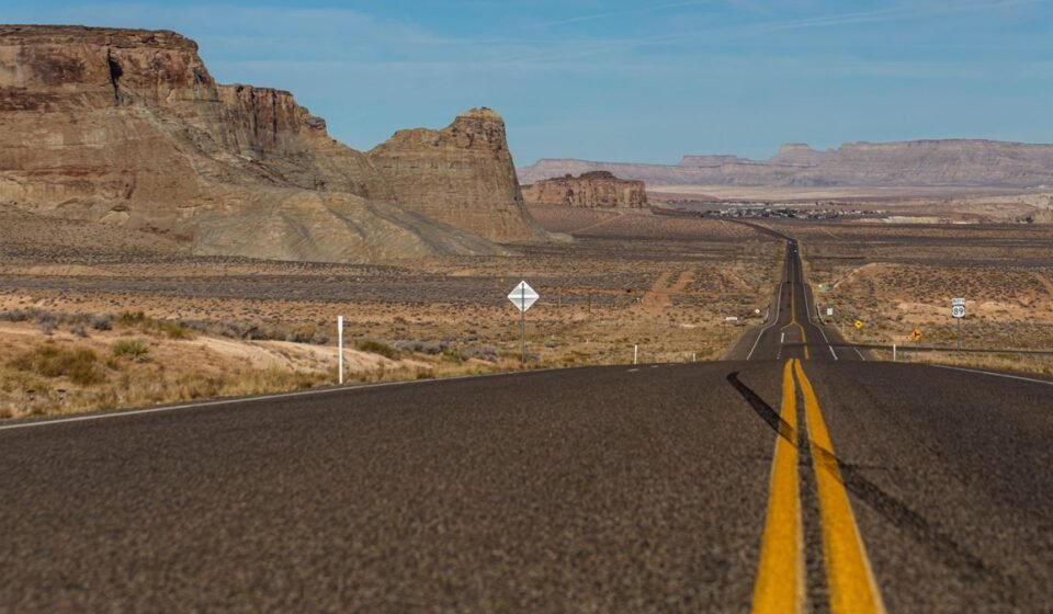

Just west of Green River, Utah, a sign on I-70 reads: no services for the next 106 miles. Most drivers glance at it, check the fuel gauge, and keep going. Twenty minutes later, somewhere in the San Rafael Swell, the phone drops to one bar, then “No Service,” and the navigation app freezes on a gray screen. The car is fine. The view is spectacular. But if the tank was at a quarter, or the offline map never downloaded, the next hour is a lot less fun than it should be.
This happens on hundreds of American roads every day, and almost always to careful, experienced drivers. It isn’t recklessness. It’s that phones are designed for places with towers, and some of the most beautiful drives in the country run for hours through places without them.
Below are seven stretches where it happens most, with the distance between services, the last place to fill up, the best time to go, and what to do before you lose signal. Plan for these and you can plan for almost any rural road in the US.
The 7 stretches at a glance
| Road | State | The gap | Fill up in |
|---|---|---|---|
| I-70, Green River to Salina | Utah | 106 miles, no services | Green River or Salina |
| US-50, “The Loneliest Road” | Nevada | About 110 miles, Fallon to Austin | Fallon, Austin, Eureka, Ely |
| NV-375, Extraterrestrial Highway | Nevada | About 98 miles, no gas station | Alamo or Tonopah |
| Death Valley National Park | California | Three fuel stops in 3.4 million acres | Furnace Creek, Stovepipe Wells, Panamint Springs |
| Big Bend National Park | Texas | Park HQ is about 70 miles from Marathon | Marathon, Study Butte, inside the park |
| US-212, Beartooth Highway | Montana and Wyoming | 68 miles over a 10,947-foot pass | Red Lodge or Cooke City |
| Dalton Highway | Alaska | 240 miles, Coldfoot to Deadhorse | Coldfoot |
1. I-70 through the San Rafael Swell, Utah
This is the longest stretch of interstate in the country without services, and it surprises people precisely because it’s an interstate. Drivers expect an exit with a gas station every 20 or 30 miles, and for 106 miles between Green River and Salina there isn’t one. What you get instead are scenic view areas, steep grades through the Swell, and canyon walls that block what little signal there is.
The fix is simple. Fill up in Green River heading west or in Salina heading east, even if you have half a tank. In summer, carry more water than you think you need, since a breakdown here means waiting in serious heat. If you’re coming from Moab or Arches, Green River is your last real stop, so plan lunch there too.
2. US-50 across central Nevada, “The Loneliest Road in America”
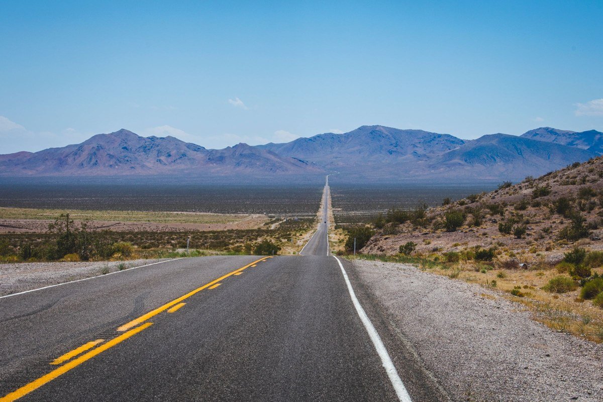
Life magazine gave US-50 its nickname in 1986, and Nevada later turned it into a badge of honor. It crosses the state through a handful of small towns: Fallon, Austin, Eureka and Ely, with long valleys and mountain passes in between. The longest gap, from Fallon to Austin, is about 110 miles, with only a small roadside stop at Middlegate along the way.
Signal comes and goes with the terrain. You’ll often have coverage near towns and lose it in the basins between them. Treat every town as a fuel stop, and if you’re driving at night, know that services in these towns can close early. This is one of the best drives in the West for people who like empty space. It just rewards a little planning.
3. NV-375, the Extraterrestrial Highway, Nevada
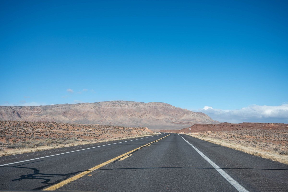
NV-375 runs about 98 miles between US-93 near Crystal Springs and US-6 near Warm Springs, and the only community along the way is tiny Rachel. Rachel has a famous diner and alien-themed souvenirs, but no gas station. Coverage is sparse for most of the route.
Fill up in Alamo if you’re coming from Las Vegas, or in Tonopah if you’re coming from the north. Watch for open-range cattle on the road, especially around dusk, and don’t follow side roads toward the restricted military land nearby. They’re clearly signed, and they’re patrolled.
4. Death Valley National Park, California
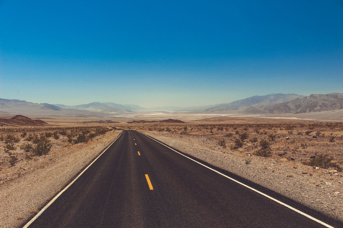
Death Valley is the largest national park in the lower 48 states, and it has just three places to buy fuel: Furnace Creek, Stovepipe Wells and Panamint Springs. Gas inside the park costs noticeably more than outside, and cell service is limited to a few spots around those same developed areas.
The bigger risk here is navigation, not distance. The National Park Service has warned visitors for years that phone directions can route them onto unmaintained dirt roads that ordinary cars can’t handle. Stick to paved routes unless you have a high-clearance vehicle and know the road. In summer, temperatures regularly pass 120°F, so a breakdown is a genuine emergency. Top off at every fuel stop and carry at least a gallon of water per person.
5. Big Bend National Park, Texas
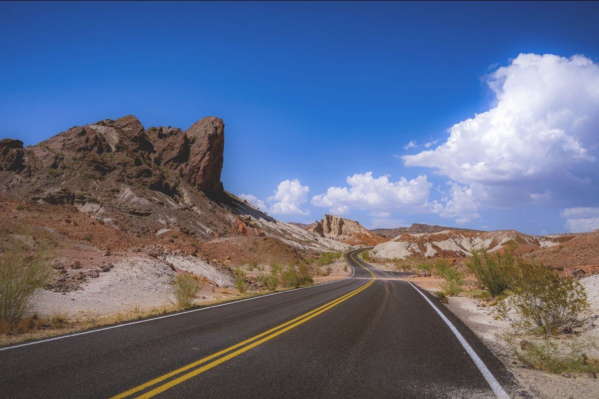
Big Bend is remote in a way that’s hard to picture until you’re there. Park headquarters at Panther Junction is about 70 miles south of Marathon, the nearest town on US-385, and the nearest city of any size is much farther. There are fuel stations inside the park at Panther Junction and Rio Grande Village, and more just outside at Study Butte and Terlingua.
Phone coverage inside the park is patchy, and the drives between the park’s best areas, like the Chisos Basin, Santa Elena Canyon and the Rio Grande, are long. Fill up before you enter and again before any long scenic drive, like the Ross Maxwell Scenic Drive down to Santa Elena Canyon.
6. The Beartooth Highway, Montana and Wyoming
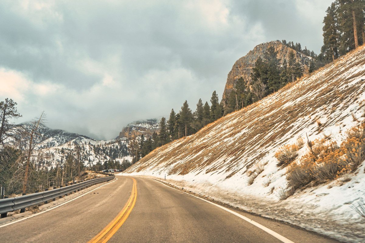
The Beartooth Highway (US-212) climbs from Red Lodge, Montana, over Beartooth Pass at 10,947 feet and drops down toward Cooke City and the northeast entrance of Yellowstone. It’s about 68 miles, and it’s often called one of the most beautiful drives in America.
It’s also a high mountain road where signal disappears behind ridges and weather changes fast. The highway usually opens around Memorial Day and closes for winter around mid-October, and early or late season snow can close it without much warning. Fill up in Red Lodge or Cooke City, check the road status the morning you drive, and pick a backup route to Yellowstone in case the pass is closed.
7. The Dalton Highway, Alaska
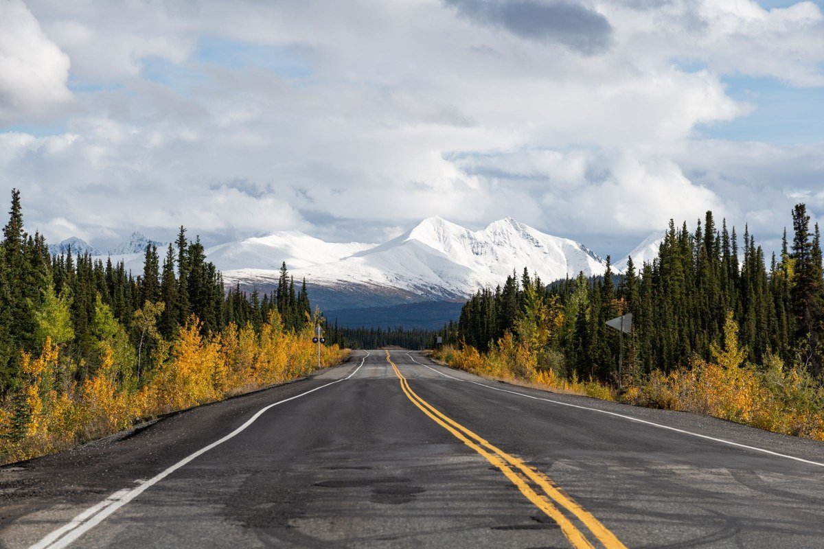
The Dalton Highway is the extreme version of everything on this list. It runs from just north of Fairbanks to Deadhorse near the Arctic Ocean, and between Coldfoot and Deadhorse there are about 240 miles with no services at all. Much of the road is gravel, it’s shared with large trucks, and coverage is essentially nonexistent.
Most rental car companies don’t allow their cars on the Dalton, so check your contract before you go. If you do drive it, carry two spare tires, extra fuel, food, and a printed map. This is not a road where improvising works.
Why these roads catch careful drivers off guard
None of these drives is dangerous if you plan for it. The problem is that phone navigation quietly assumes you’ll always have signal, and it fails in a few predictable ways:
- Offline maps don’t cover the whole trip. Most people download the first leg and forget the rest, or the download expires before the trip is over.
- Battery runs out. Navigation, photos and music on a long day can drain a phone by mid-afternoon, especially in heat.
- Apps reroute you onto bad roads. When a main road is slow or closed, apps sometimes suggest “shortcuts” that turn out to be dirt tracks.
- A screen shows only a small piece of the route. Zoom in to read the road and you lose the big picture. Zoom out and the gas stations disappear.
A 10-minute plan before any remote drive
You don’t need special gear for any of the stretches above. You need ten minutes the night before:
- Look at the whole route at once. Find every stretch longer than about 60 miles without a town, and write down the last fuel stop before each one.
- Fill up at half a tank in remote areas, not when the warning light comes on.
- Plan a stop every two hours at a rest area, town or viewpoint, so the driver stays fresh.
- Pick a backup route for any mountain pass or seasonal road, in case it’s closed.
- Check road conditions the morning of the drive on the state’s official road conditions site.
- Carry water, snacks and a printed map, so losing signal is an inconvenience instead of a problem.
Step one is the one people skip, because it’s genuinely hard to do on a phone. That’s the reason we made a map for it.
The map we made for these roads
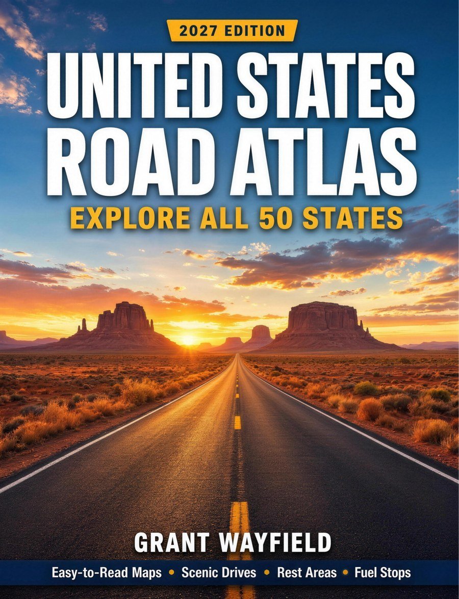
The ChiefTourist team created the 2027 United States Road Atlas to make that ten-minute plan easy. It’s a 204-page, full-color atlas of all 50 states, and it marks the exact things this guide has been talking about right on the maps:
- Fuel stops with exit numbers. On a stretch like I-70, you can see where the last fuel is before the gap, and which exit to take.
- Warnings before long gaps in services. The empty stretches are flagged before you reach them, not after.
- Rest areas and welcome centers, so you can plan stops every two hours instead of hoping one appears.
- National scenic byways and national parks, so you can spot detours like Big Bend or the Beartooth Highway while you plan.
- Interstates, U.S. highways and state highways on maps for all 50 states, plus 53 close-up city maps.
- Thumb tabs and an index of more than 1,500 towns, so the passenger can find any state or town in seconds.
- Large, high-contrast type and simple symbols, easy to read for seniors, families and visitors from abroad.
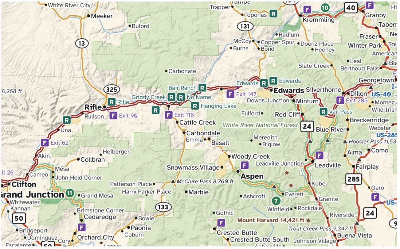
Here’s what a real page looks like. On this Colorado spread you can see fuel stops by exit number along I-70, rest areas, a scenic byway, and mountain passes with their elevations, all at once. That’s the whole-route view a phone can’t give you.
It also doesn’t need a signal, a charger, an app update or a data plan, which makes it especially useful for international visitors driving in the US.
To be clear about its limits: like any printed map, it can’t show live traffic, today’s closures or construction. Use it with your phone and the official road condition sites, not instead of them.
Who it’s for, and a gift idea
The atlas is worth having if you road trip through the West, the Rockies, Texas or Alaska, if you travel with a co-pilot who likes to navigate, if you prefer large print to small screens, or if you’re planning a first big trip across the US.
It’s probably not worth it if you mostly drive between big cities on busy interstates, where signal is strong and services are every few exits.
With the holidays coming, it also makes a practical gift for the road trippers in your life: the parent who still keeps a map in the glovebox, retirees planning a long drive, or a new driver heading out on a first big trip. It’s the kind of gift that gets used.
See the 2027 United States Road Atlas on Amazon
Whatever you take with you, know your last fuel stop before every empty stretch. The best parts of an American road trip are often on the roads with no signal at all.
Disclosure: The 2027 United States Road Atlas is published by the ChiefTourist team. We earn money when you buy it through the link above.